The Vistula Spit is a narrow strip of dunes and pine forest between the Gulf of Gdańsk and the Vistula Lagoon. Since 2022 it has been cut through by a shipping canal, which Poles usually call the “przekop” – the cut through the Vistula Spit. I was here on Easter Sunday, 5 April 2026: I walked along the canal from the lock all the way to the breakwater, and in the afternoon I strolled along the beach in Krynica Morska. I describe the canal with its swing bridges and outer harbour, the beaches by the canal and in Krynica Morska, and at the end – practical information. It makes a good day trip from Gdańsk.
Interactive Table of Contents
- The Vistula Spit – between the gulf and the lagoon
- The Vistula Spit canal – the channel, the lock and the swing bridges
- The outer harbour and a walk along the breakwater
- The beach and the forest by the canal
- Krynica Morska – the beach, the dunes and a storm over the gulf
- Practical information
The Vistula Spit – between the gulf and the lagoon
The spit is mostly 1–2 km wide. Its eastern part belongs to Russia (Kaliningrad Oblast), while the Polish side has former fishing villages that are now holiday resorts – among them Stegna, Sztutowo, Kąty Rybackie and Krynica Morska. The eastern part of the Polish spit is protected by the Vistula Spit Landscape Park, created in 1985, which covers about 4,410 ha.
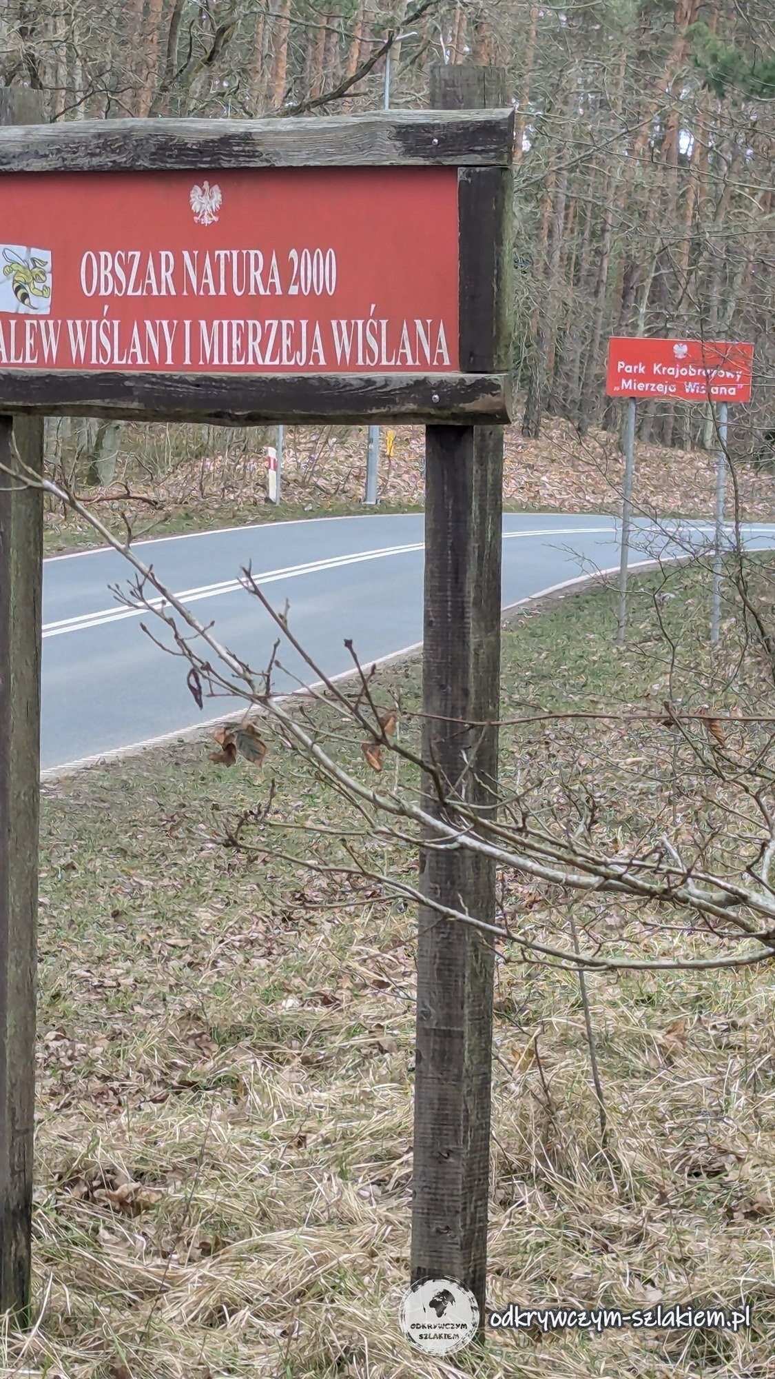
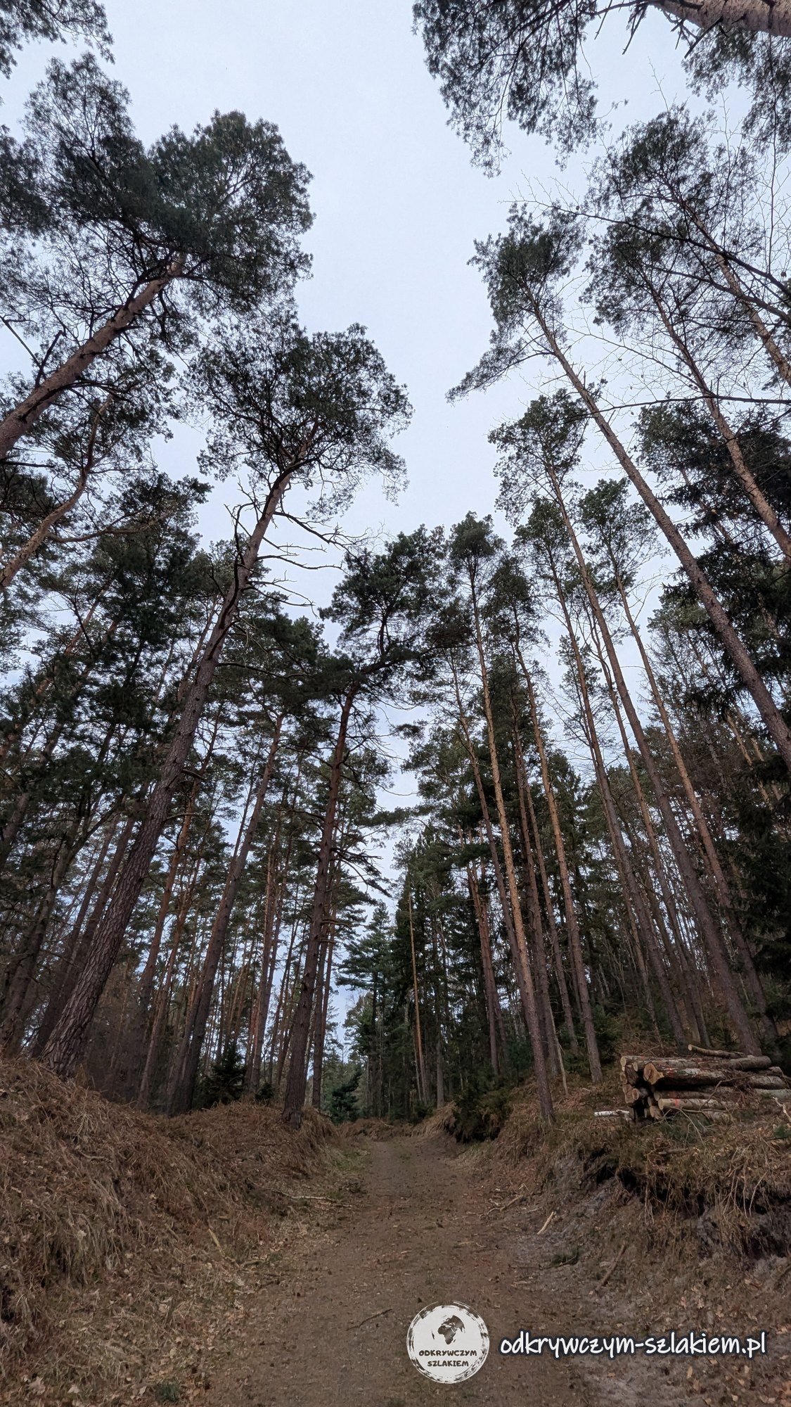
By regional road 501 in Sztutowo stands a sign for the Natura 2000 site “Vistula Lagoon and Vistula Spit”. The spit is covered mainly by pine forest – on the dunes the wind bends the crowns and trunks of the pines. I reached the viewpoint above the canal along a forest track among tall pines.
The Vistula Spit canal – the channel, the lock and the swing bridges
The canal was dug on the site of the former settlement of Nowy Świat, between Skowronki and Przebrno. Construction began in 2019, and the official opening took place on 17 September 2022. The canal is 1,536 m long, and the whole waterway to the port of Elbląg almost 23 km. Ships sailing from the Vistula Lagoon to the Baltic no longer have to use the Russian Strait of Baltiysk.
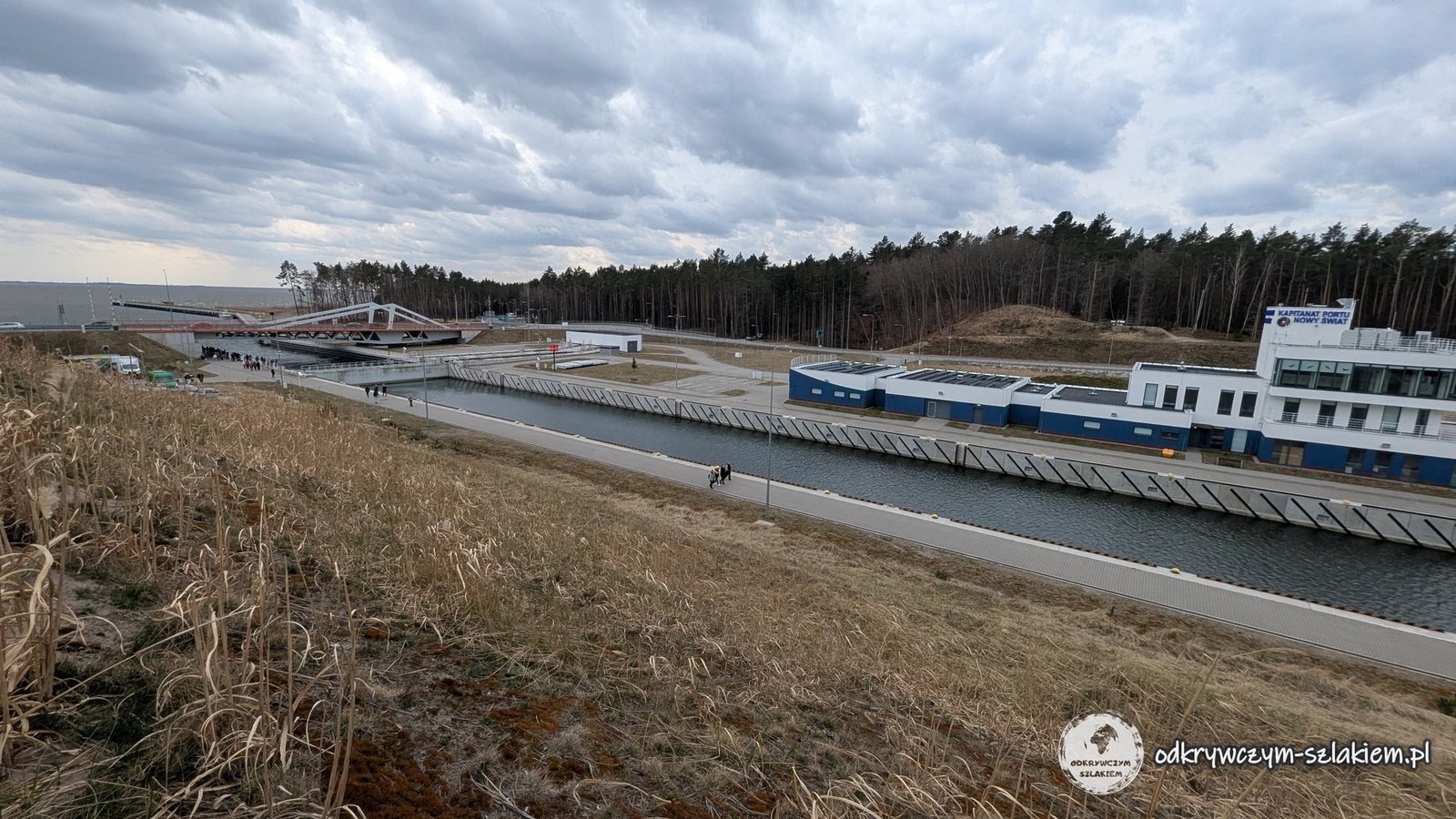
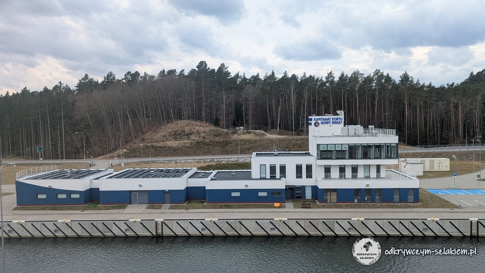
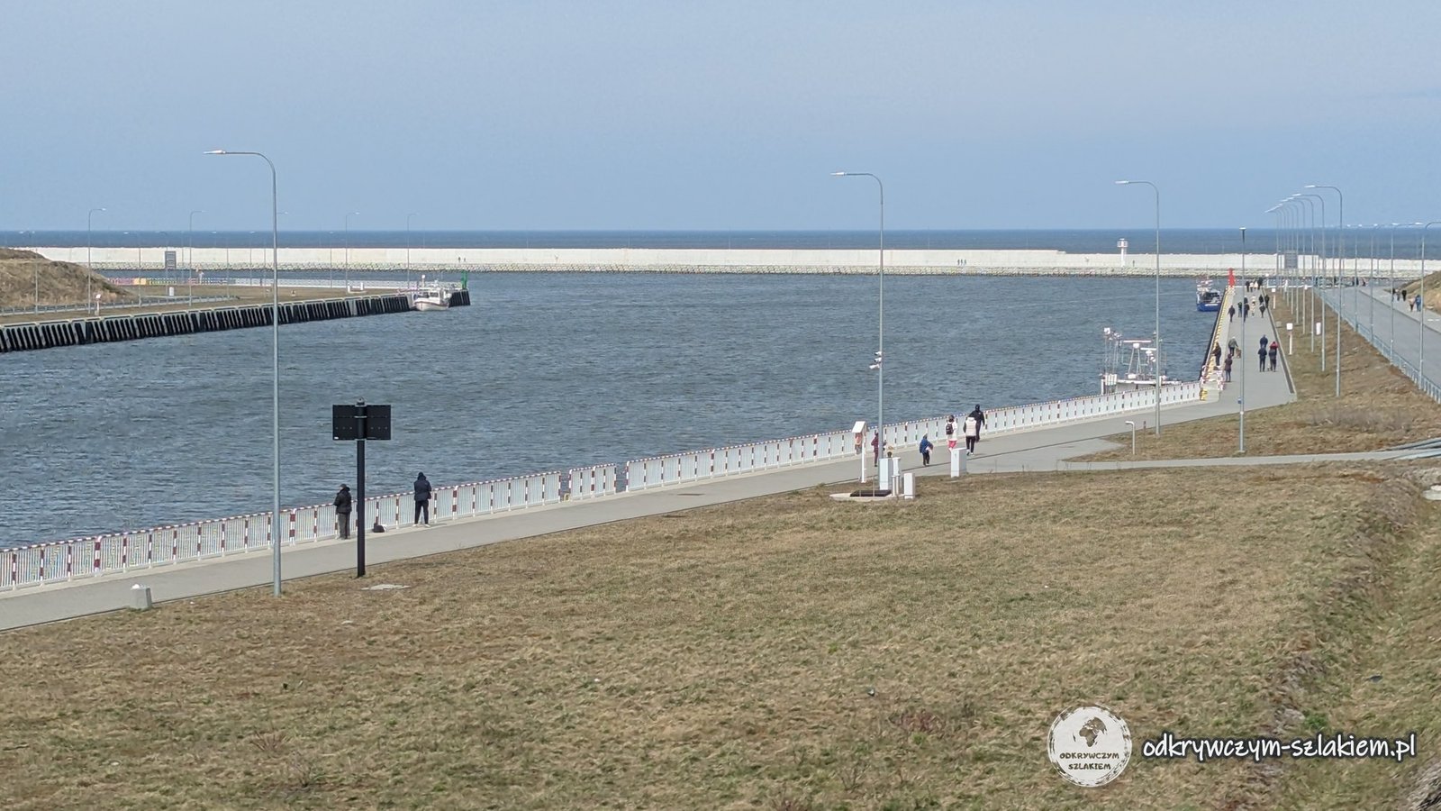
From the viewpoint on the hill on the eastern side of the canal you can see the lock, the building of the Nowy Świat harbour master’s office and the South Bridge, with the Vistula Lagoon behind it. The lock is 269 m long and 25 m wide. It can take ships up to 100 m long.
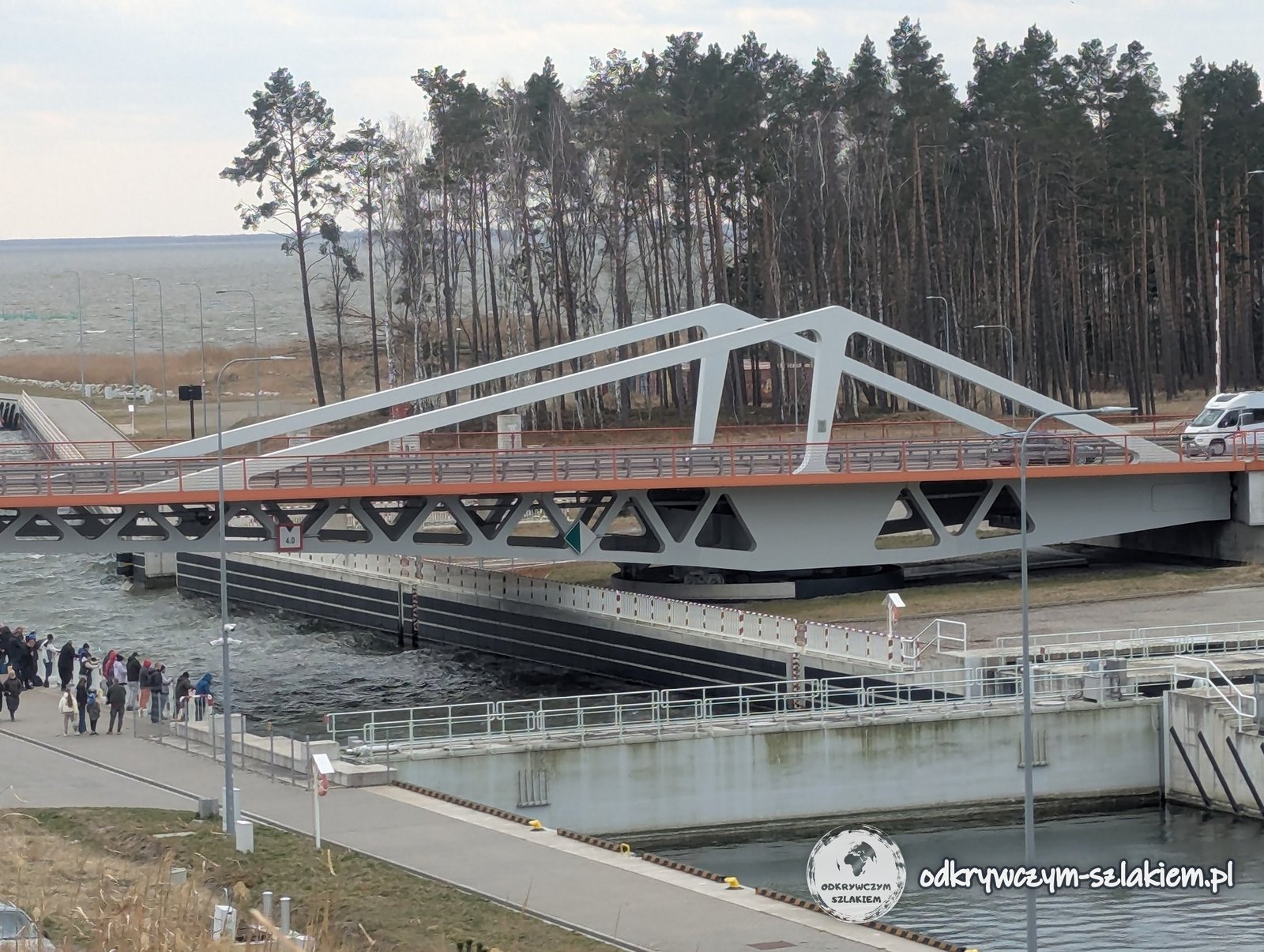
Road 501 crosses the canal on two steel swing bridges – the North Bridge and the South Bridge. The South Bridge was opened to traffic in June 2021. When a ship passes through the lock, the bridge turns on a vertical axis and road traffic is stopped. On the holiday afternoon crowds of people were walking along the quays by the lock.
The outer harbour and a walk along the breakwater
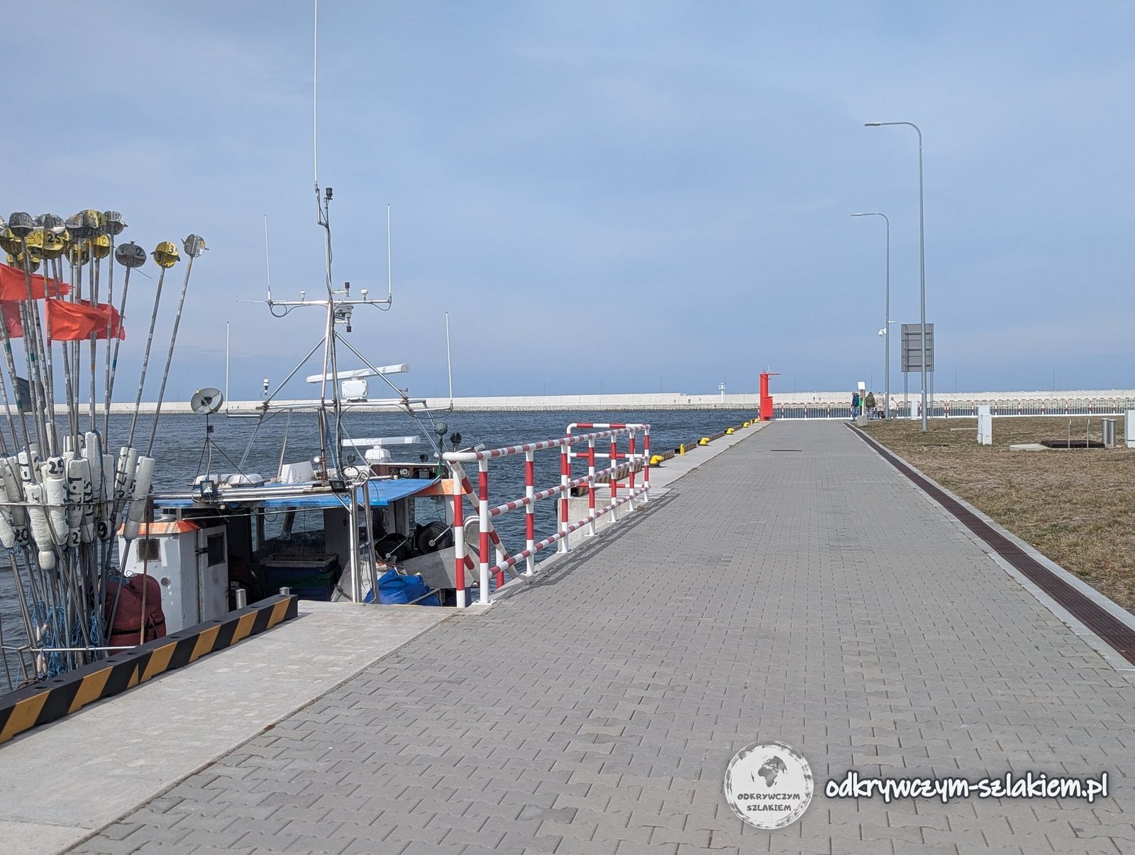
From the lock to the outer harbour the canal runs straight for about 700 m, between quays with red-and-white railings. On the gulf side it is sheltered by a harbour with two breakwaters – the eastern one about 1 km long and the western one about 340 m. Some 10,000 precast concrete blocks were used to reinforce them.
A fishing boat was moored at the quay, carrying poles with little flags that fishermen use to mark their nets. Along the canal run man-made embankments, topped with pines bent by the wind.

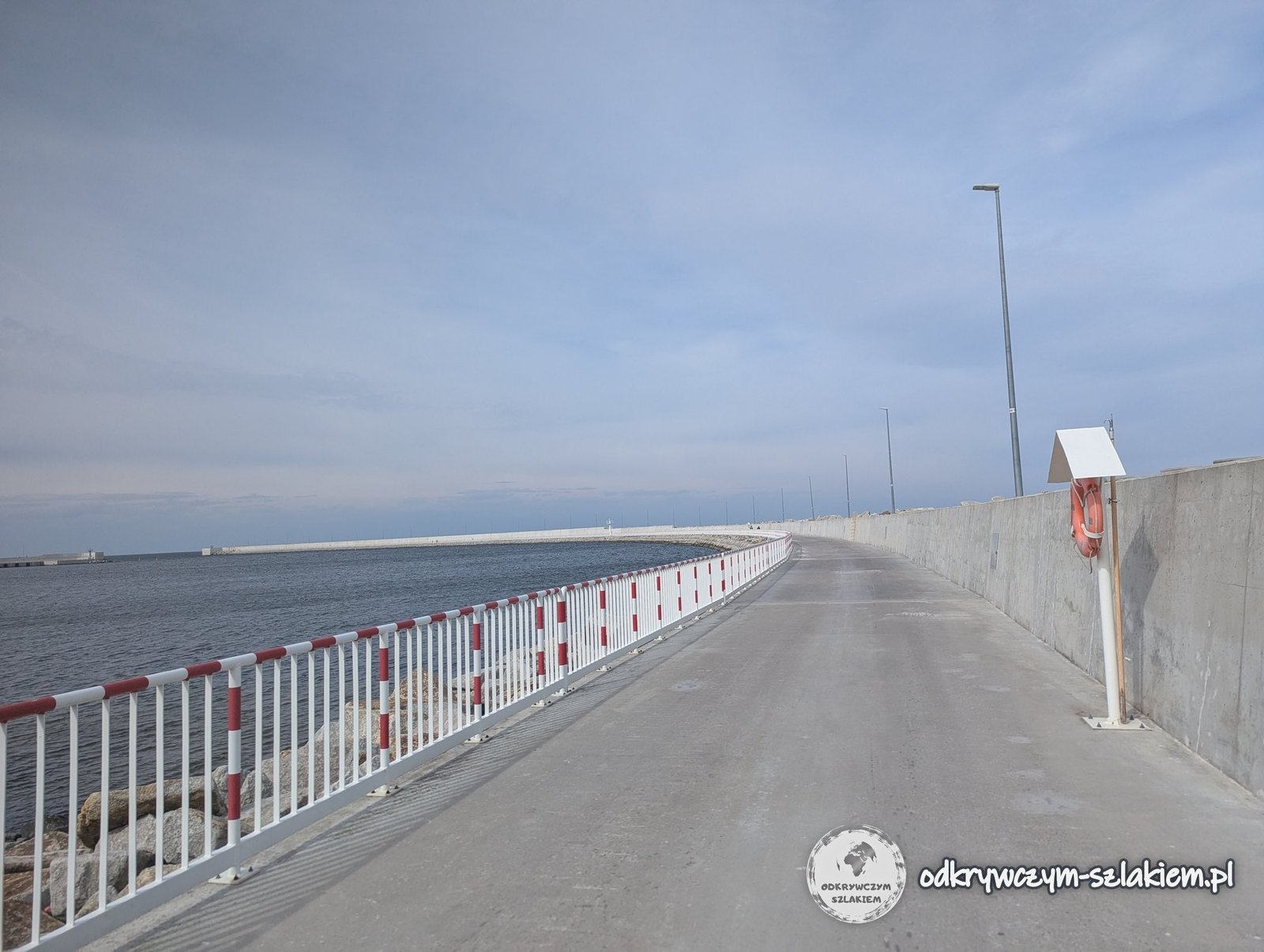
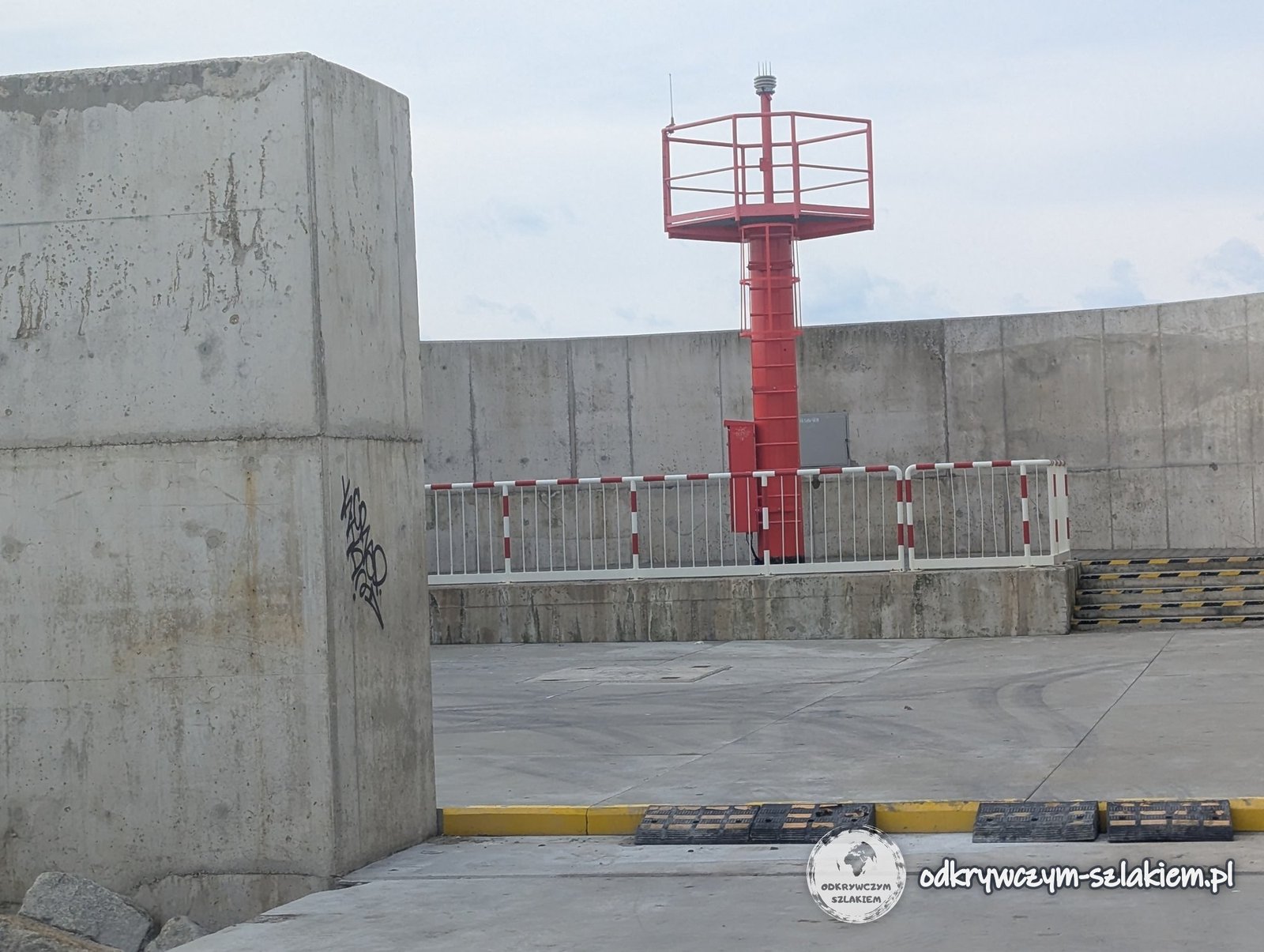
In April 2026 you could walk along the breakwater on a concrete road all the way to its end. At the head of the breakwater stands a red tower with a navigation light, sheltered by high concrete walls.
The beach and the forest by the canal
East of the harbour begins a wide, sandy beach. It is reached by a road of concrete slabs across a wooded dune, fenced off with wire mesh. In early April the beach was almost empty – only a few people were walking their dogs.

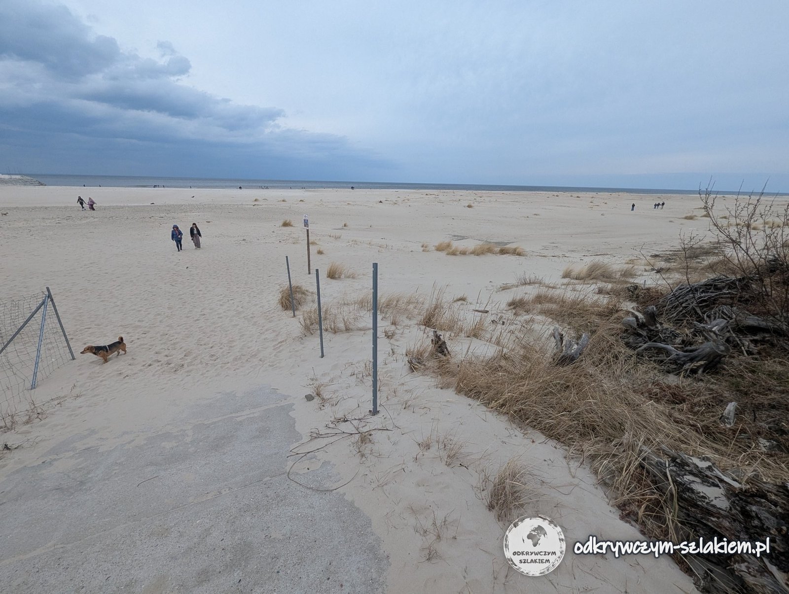
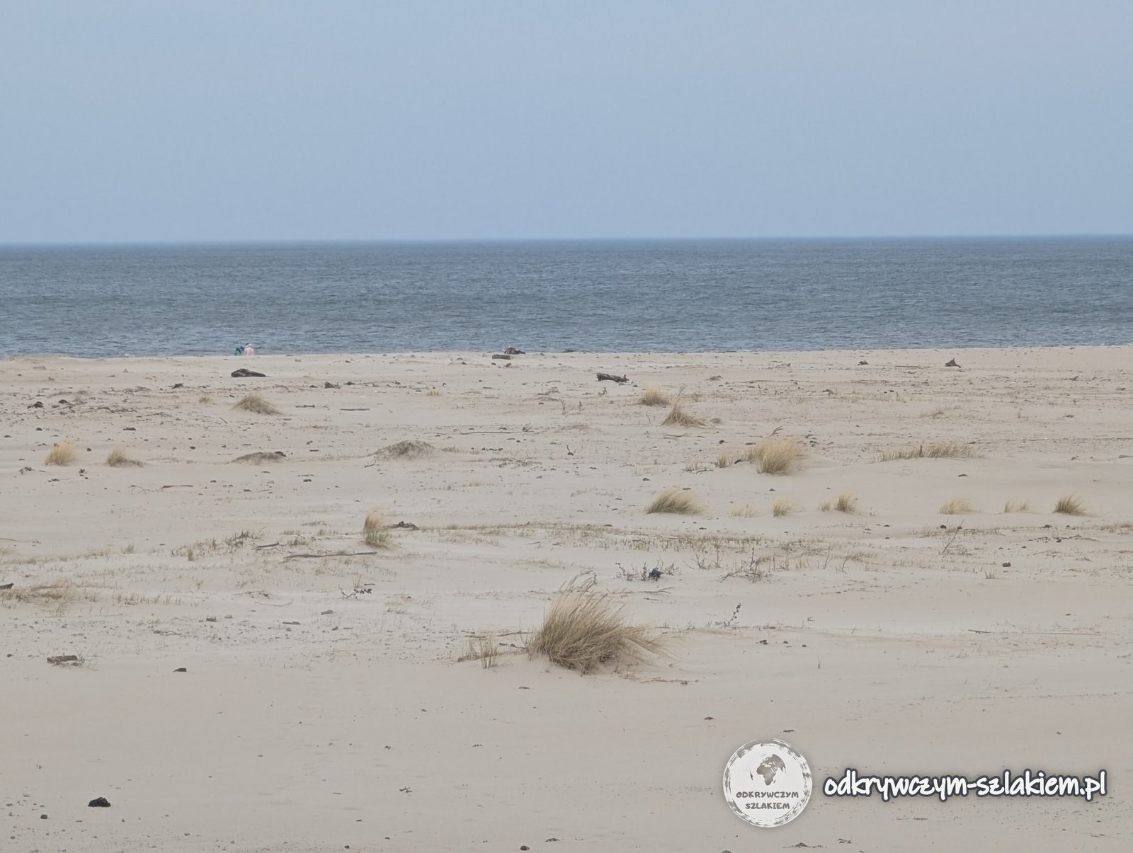
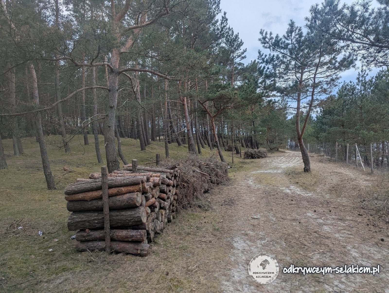
Tufts of grass grow on the dunes, and behind them the forest begins. I returned to the viewpoint along forest paths – by one of them lay piles of felled pine trunks.
Krynica Morska – the beach, the dunes and a storm over the gulf
From the canal to Krynica Morska it is about 10 km along road 501. The first seaside resort here, then under the German name Kahlberg, opened in 1843, and Krynica Morska received town rights in 1991. At Easter, small pines decorated with painted eggs stood along the promenade lined with souvenir stalls.
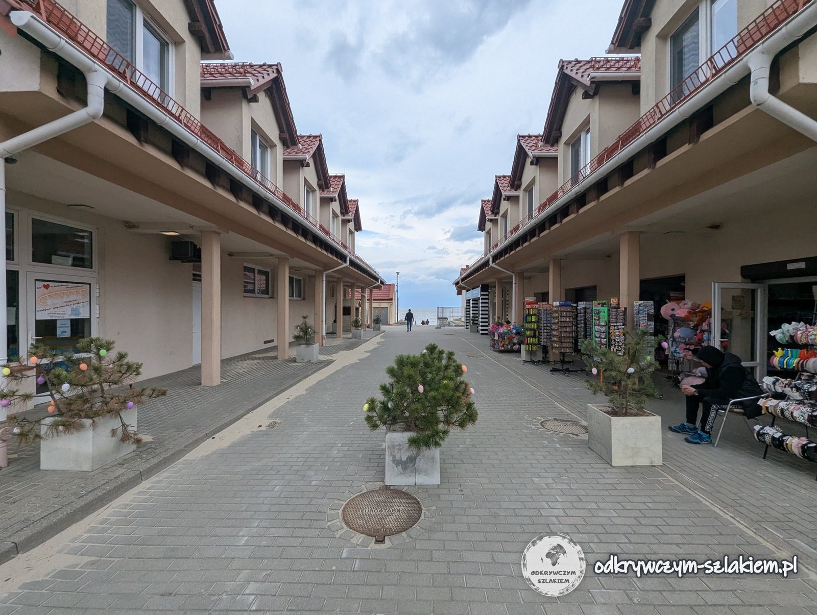
The beach entrances are numbered. The beach is wide and backed by wooded, grassy dunes. A tree trunk with its roots, washed up by the sea, lay on the shore.


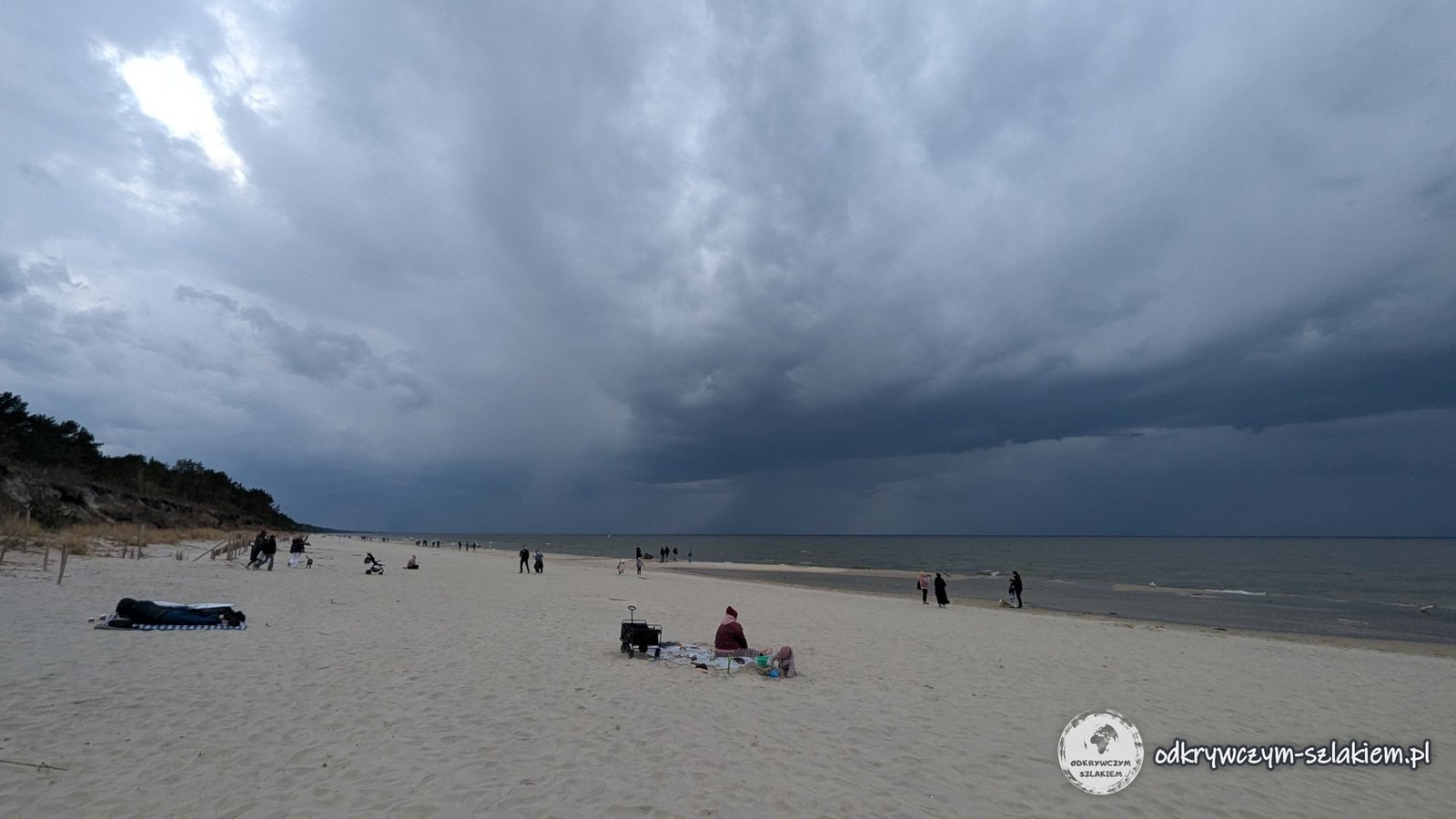
Shortly before 4 pm a dark storm cloud hung over the Gulf of Gdańsk – streaks of rain were falling from it over the sea. On the beach some people were still sitting on their blankets.
In the centre of Krynica Morska there are hotels and apartment buildings with red roofs. The coastal cycle route R10 runs through the town, and on a small square by one of the streets stood an Easter bunny holding a painted egg.


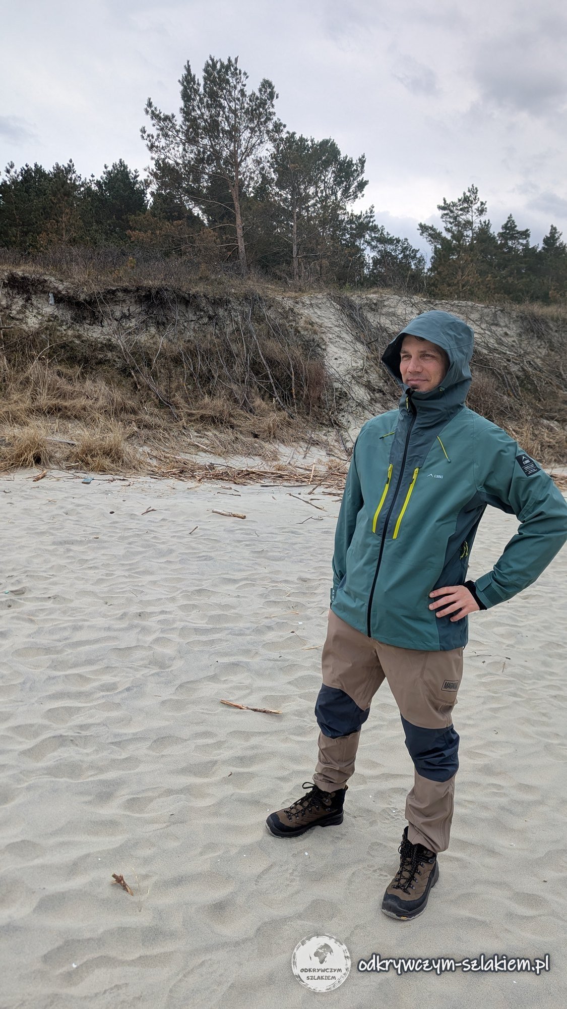
About fifteen minutes later the rain reached Krynica Morska, and I was walking back with my hood up, along a path among the pines.

Practical information
- By car: from Gdańsk take the S7 expressway, then roads 502 and 501 via Sztutowo and Kąty Rybackie – the canal is about 65 km away (roughly an hour’s drive), Krynica Morska about 75 km. There is a car park by road 501 next to the canal.
- By bus: buses run from Gdańsk to Krynica Morska – the journey takes about 1.5–2 hours. The current timetable is available on e-podroznik.pl, among other sites.
- By boat: in season, boats sail from Krynica Morska across the Vistula Lagoon to Frombork, Tolkmicko and Elbląg.
- A walk around the canal: the route from the car park past the lock and the bridges to the viewpoint and the beach is about 3 km long – about an hour’s walk, with no difficult climbs.

- By bike: the R10 route (part of EuroVelo 10) runs along the spit from Mikoszewo to Piaski on the Russian border – about 52 km, mostly on compacted gravel. In Krynica Morska it follows a separate path among the pines.
- Swing bridges: when a ship passes through the lock, traffic on road 501 is stopped for a while – allow some extra time.
- On the way: in Sztutowo, the Stutthof Museum on the site of the former German concentration camp. In Krynica Morska – the lighthouse and the Wielbłądzi Grzbiet (Camel’s Back) dune, the only natural spot on the spit from which you can see both the gulf and the lagoon.
- Weather: it changes quickly over the gulf – even on a sunny day a waterproof jacket with a hood comes in handy.
- More of Pomerania: Gdańsk on a weekend, Gdynia and Kashubia – Szymbark, the Wieżyca tower and the Radunia Gorge.