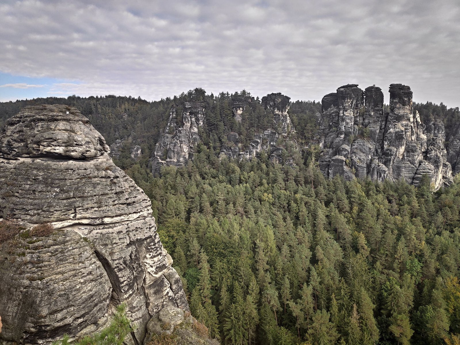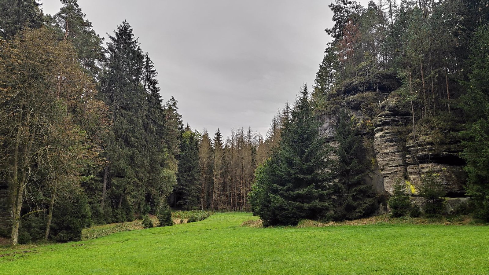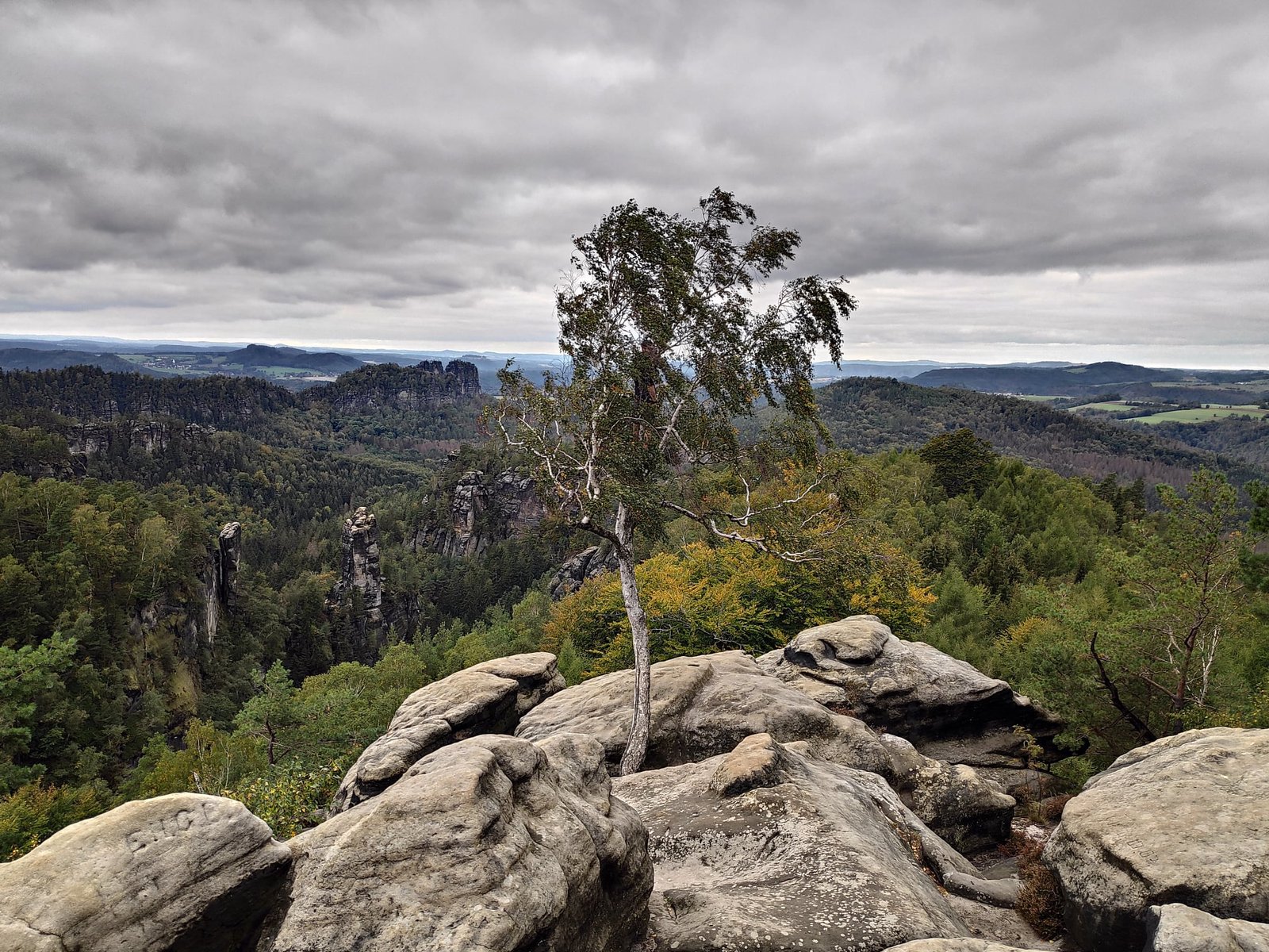
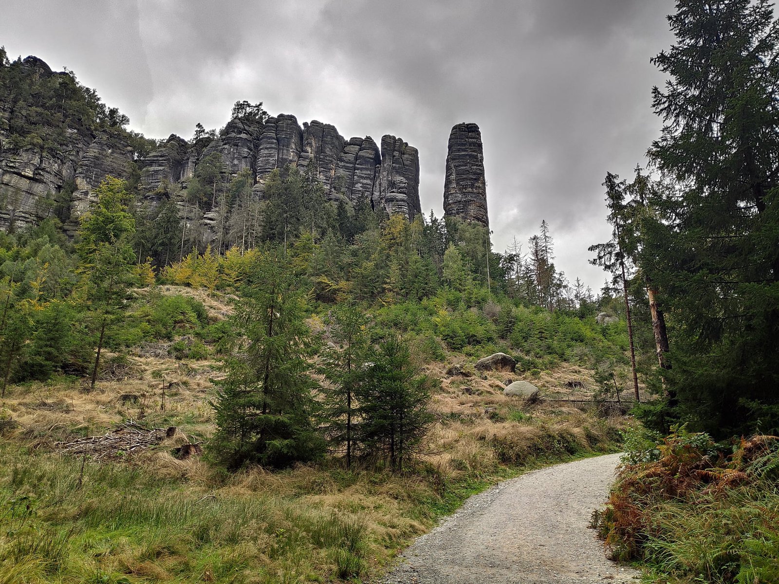
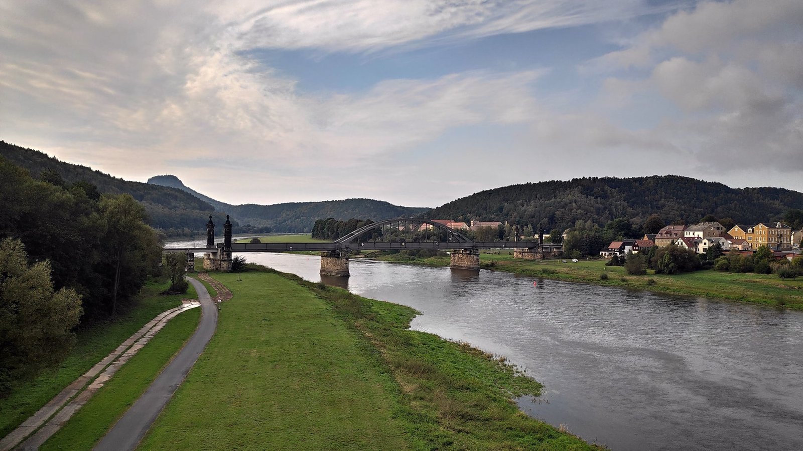
Saxon Switzerland is a German national park in the mountains on the border with the Czech Republic, on both banks of the Elbe. The hills here reach 400–500 m above sea level (the highest peak is 562 m), but in a small area there is an exceptional number of rock formations: individual sandstone towers reached by steps and ladders, caves, rock gates, waterfalls, narrow passages, and old fortresses and their ruins. The landscape resembles our Table Mountains in Poland. We spent five days here – from 27 September to 1 October 2020 – and every day we hiked more of the trails we had planned, about 65 km in total. Before that, on the way, we visited Dresden.
Table of contents
- The weather – fog was our worst enemy
- The Bastei Bridge and the ruins of Neurathen Castle
- Lilienstein and Königstein
- The Schrammsteine in the fog
- Winterstein, caves and a waterfall
- Practical information – accommodation, transport, shopping
The weather – fog was our worst enemy
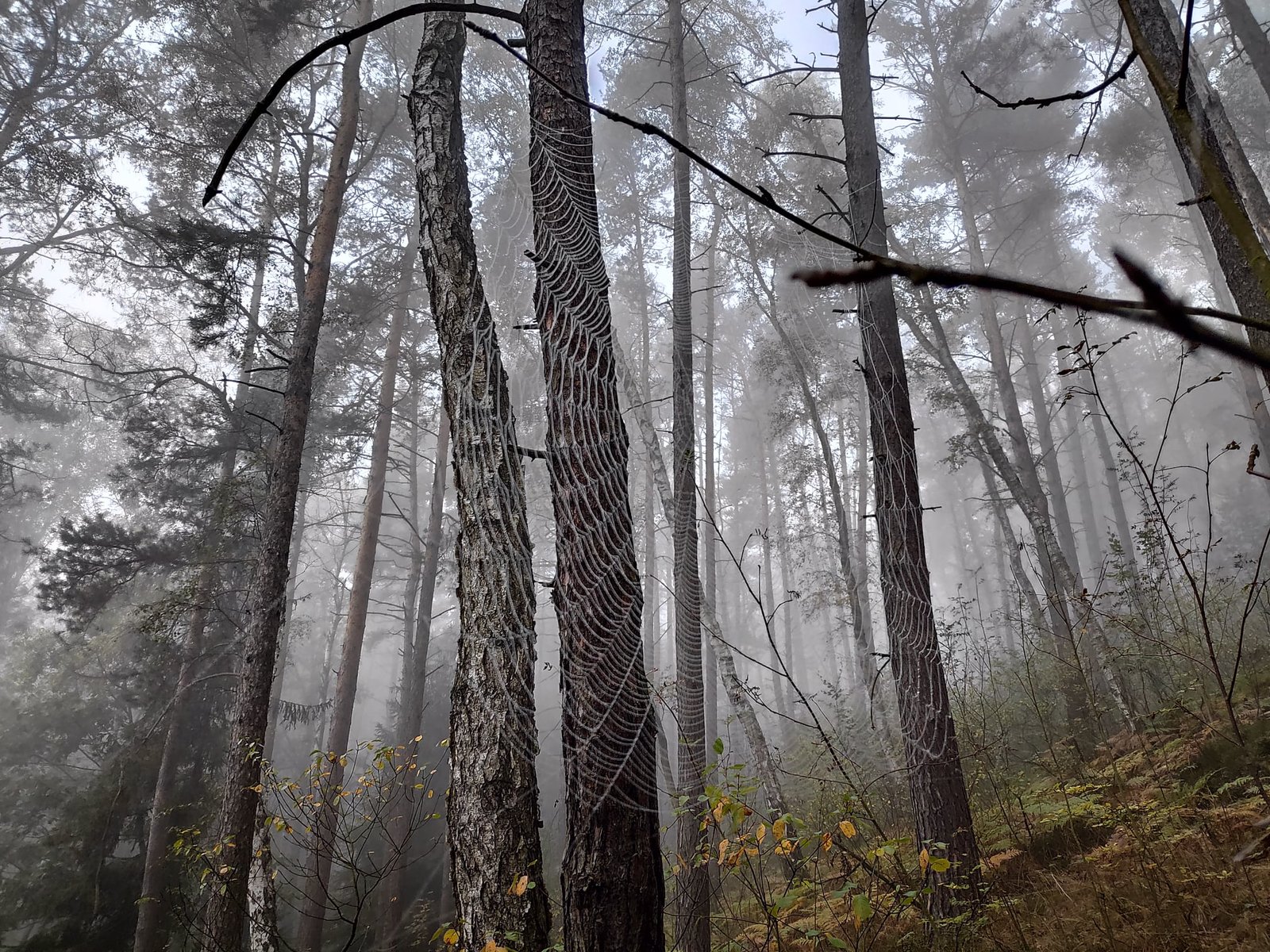
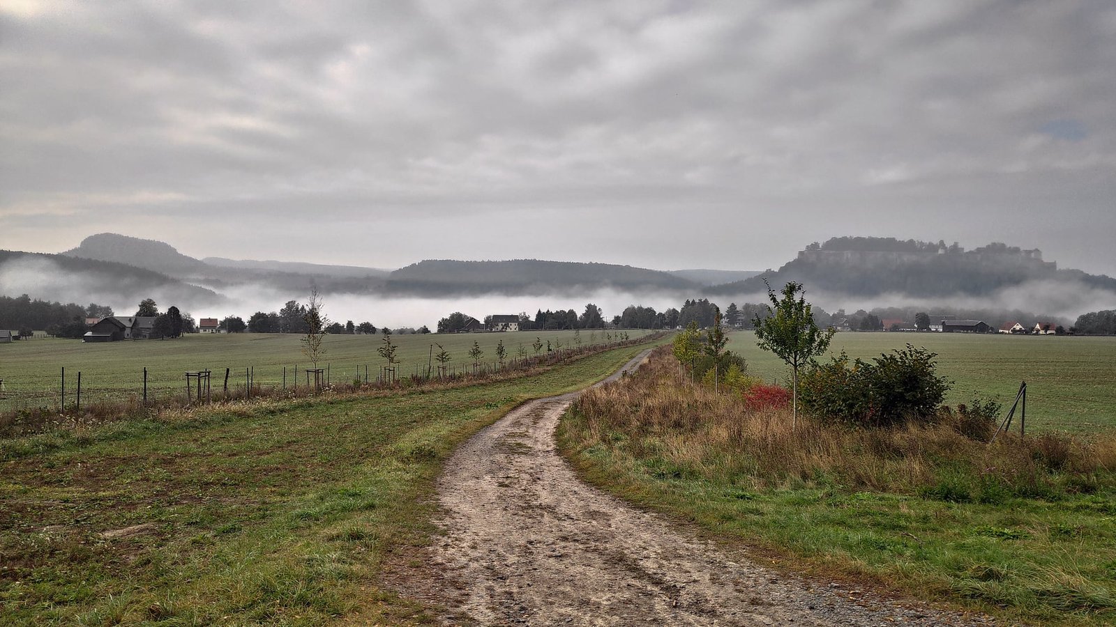
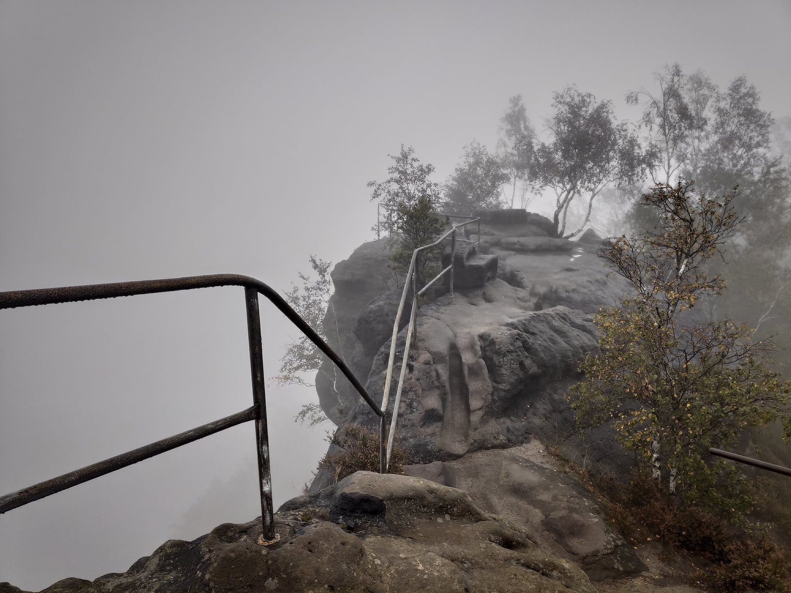
Before the trip the forecast was dreadful, although a few days earlier it had been over 20 degrees and sunny. Luckily it improved enough that on only one day it rained lightly for about 3 hours, and on another there was a bit of drizzle. The temperature was quite decent: 13°C on the coldest day, 18°C on the warmest. Our biggest enemy turned out to be fog – because of it we did not get to see, among other things, the whole Schrammsteine rock complex. The solution would have been to set off later, and therefore shorten the hike and come back around sunset.
The Bastei Bridge and the ruins of Neurathen Castle
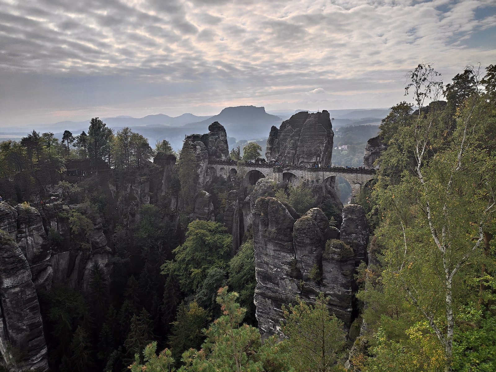
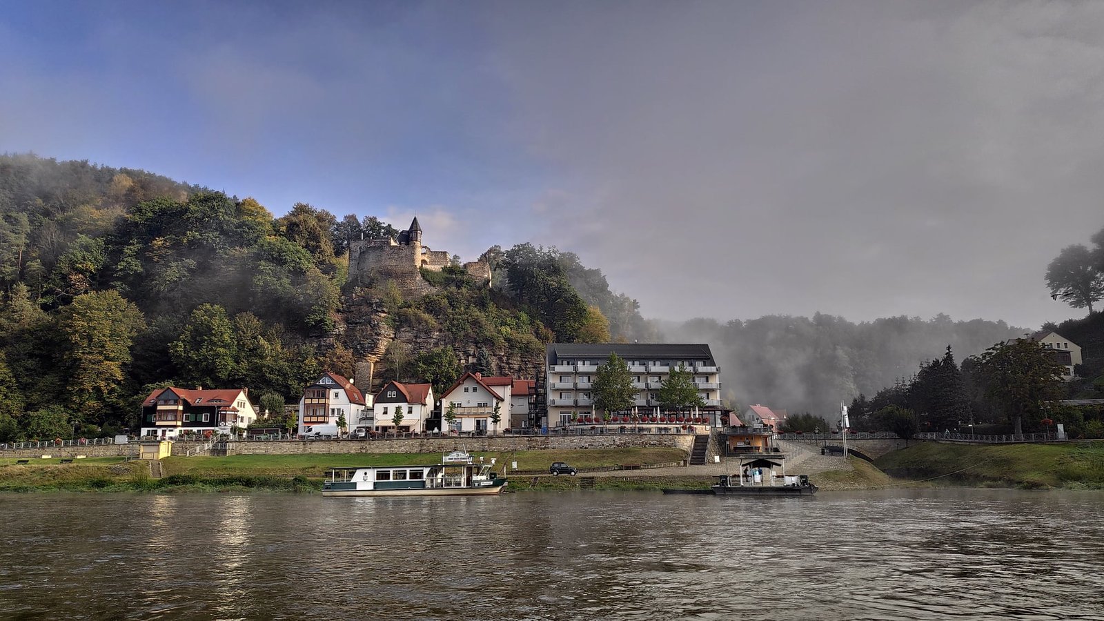
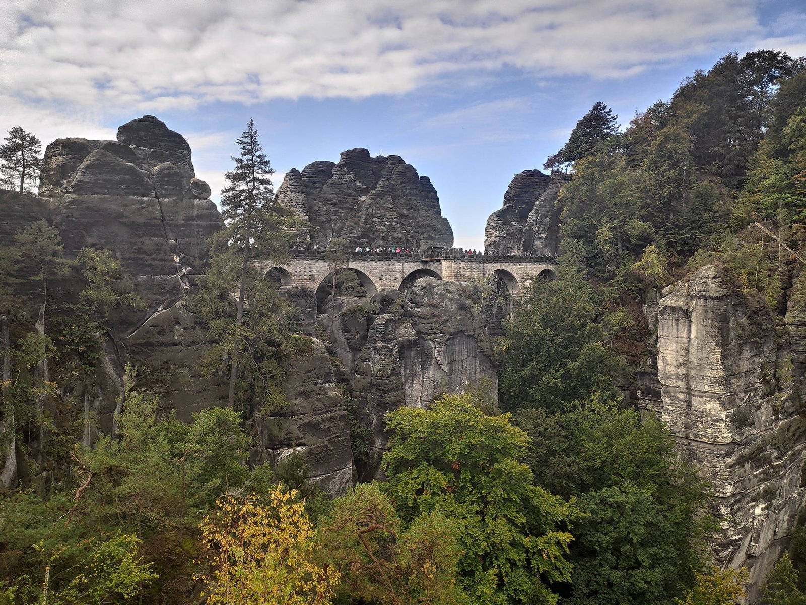
The best-known place in Saxon Switzerland is not a particular rock but the Bastei Bridge (Basteibrücke), which links sandstone towers high above the Elbe. The first, wooden bridge was built here in 1824; the current stone one is almost 77 m long. We set off on the trail to it from the other bank of the Elbe – we crossed by ferry to Niederrathen (part of the spa town of Kurort Rathen), and on the way up we passed viewpoints over the river and both sides of Rathen.
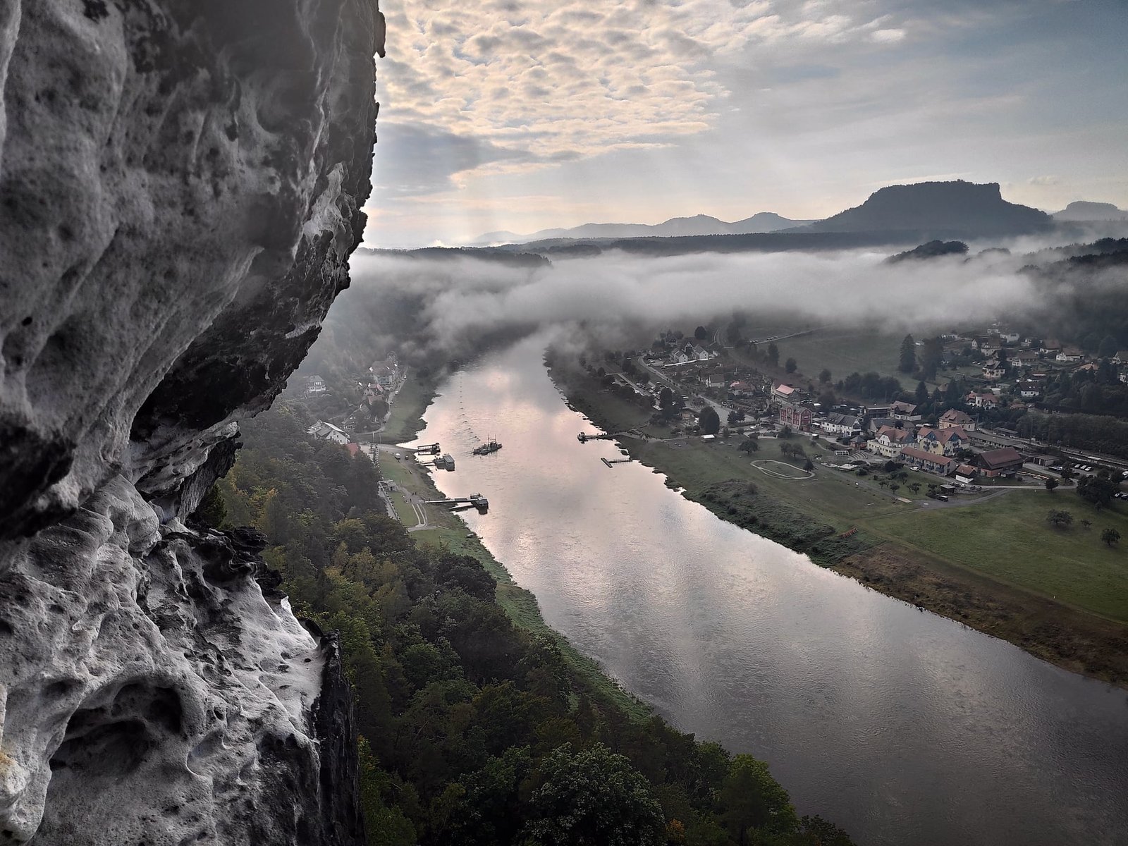
Right next to the bridge lie the ruins of the medieval rock fortress of Neurathen, which you can visit for a fee – on footbridges and stairs among the rocks. A surprise was the information boards in Polish. The fortress offers one of the best views of the bridge itself.
Lilienstein and Königstein
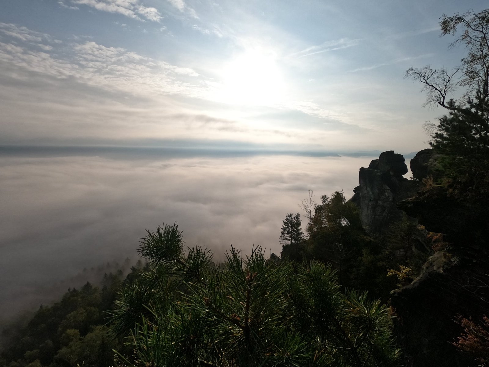
Lilienstein (415 m) is a lone table mountain on the right bank of the Elbe, visible from afar – including from our base in Bad Schandau. Steep steps lead to the top, and from up there we looked down on the Elbe valley drowned in fog.
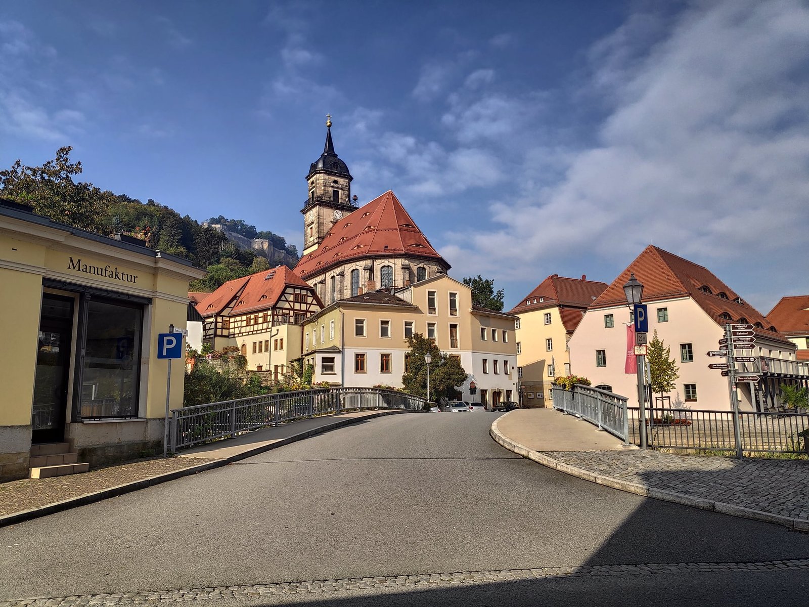
After coming down from Lilienstein we had a view of Königstein Fortress – one of the largest mountain fortifications in Europe, rising on a plateau on the other side of the river – and of the small town of Königstein on the Elbe.
The Schrammsteine in the fog
The Schrammsteine are an extensive group of rock towers east of Bad Schandau, with views of the Elbe valley and the nearby table mountains. We were unlucky: that day the fog hung around until we came down from the mountains, so from the viewpoints we mostly saw white. All the more reason to watch the forecast and perhaps set off later.
Winterstein, caves and a waterfall
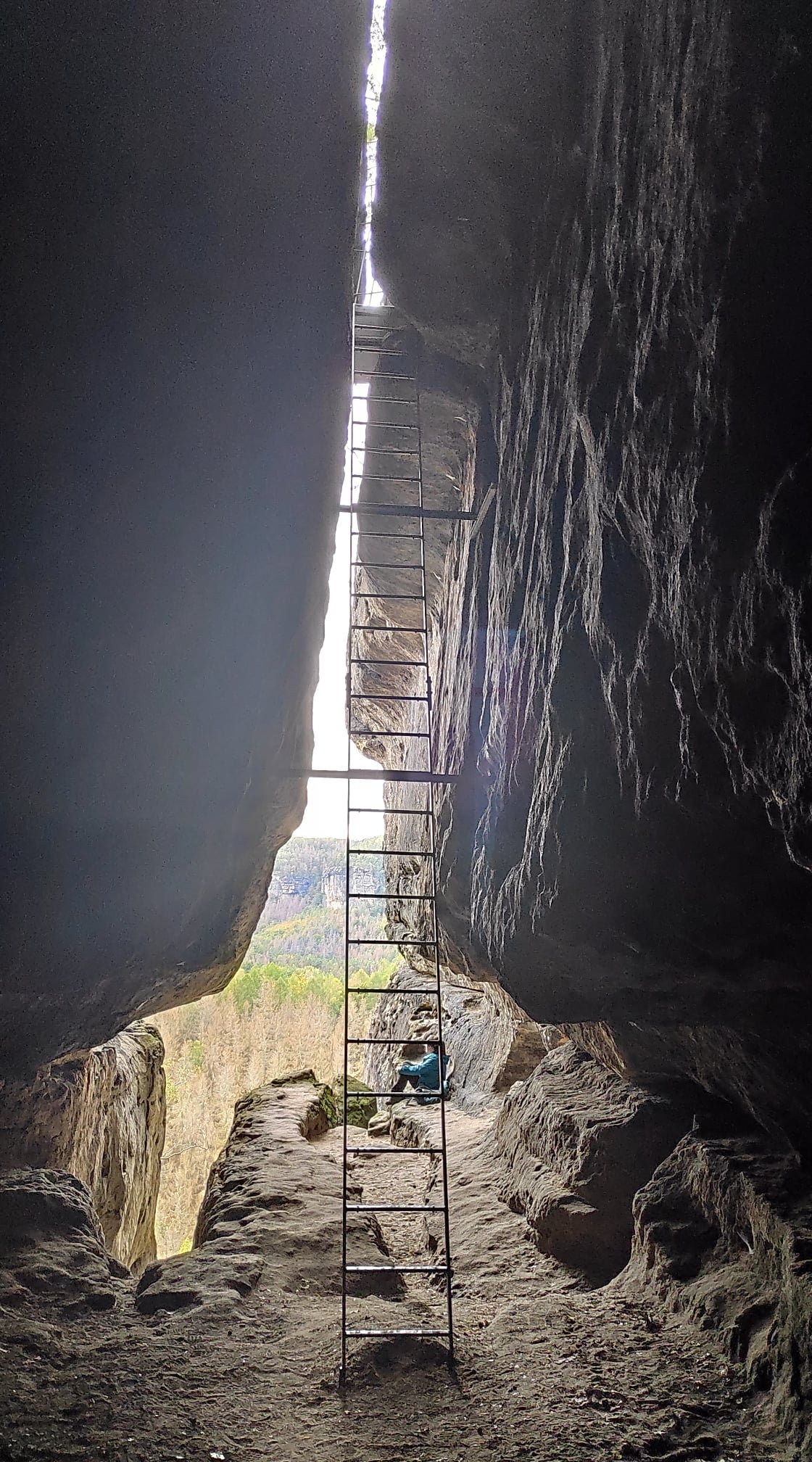
In the rear part of Saxon Switzerland we climbed Winterstein (389 m) – steep steps and numerous ladders lead up it, and the remains of a medieval castle have survived on the summit.
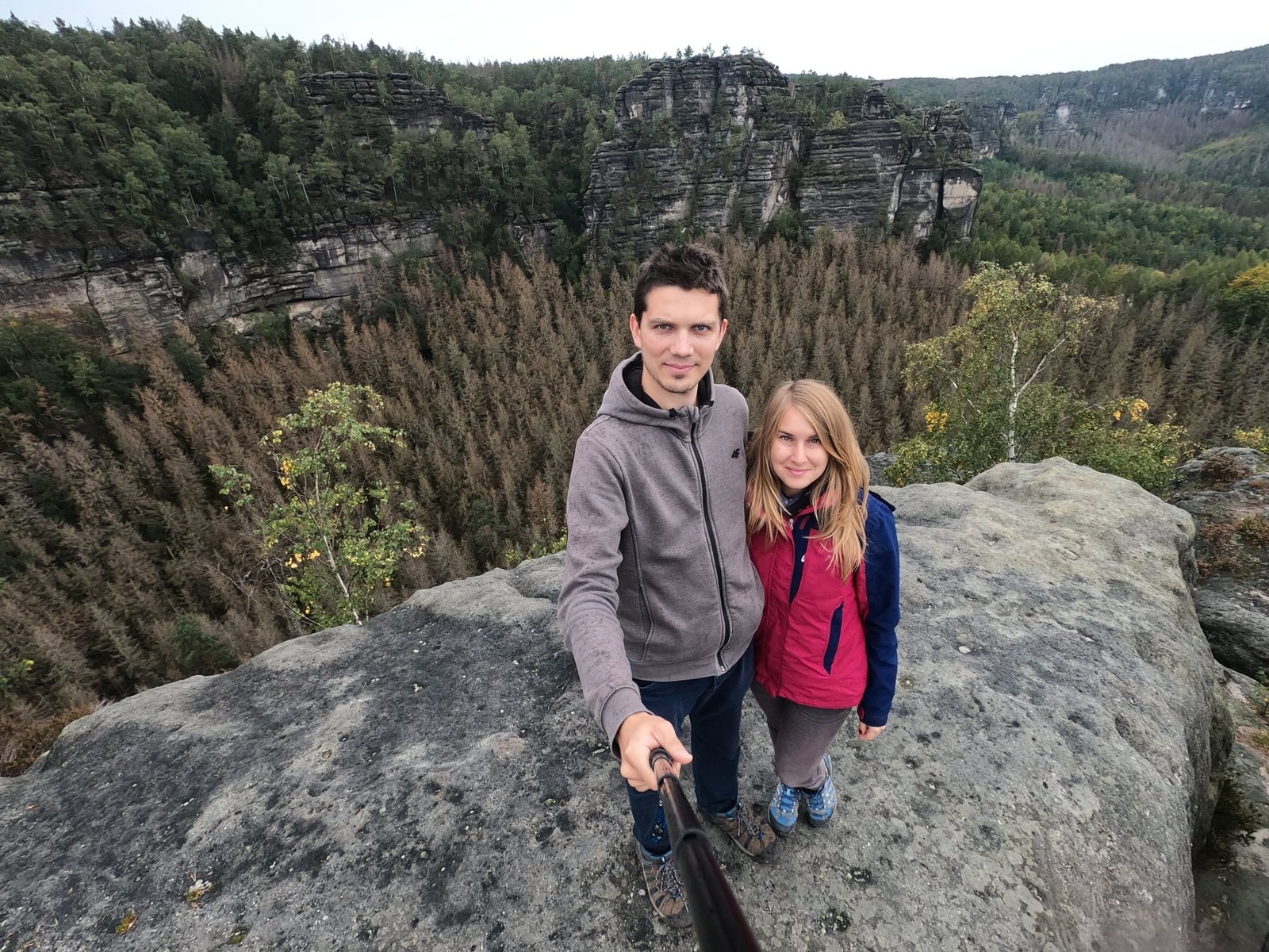
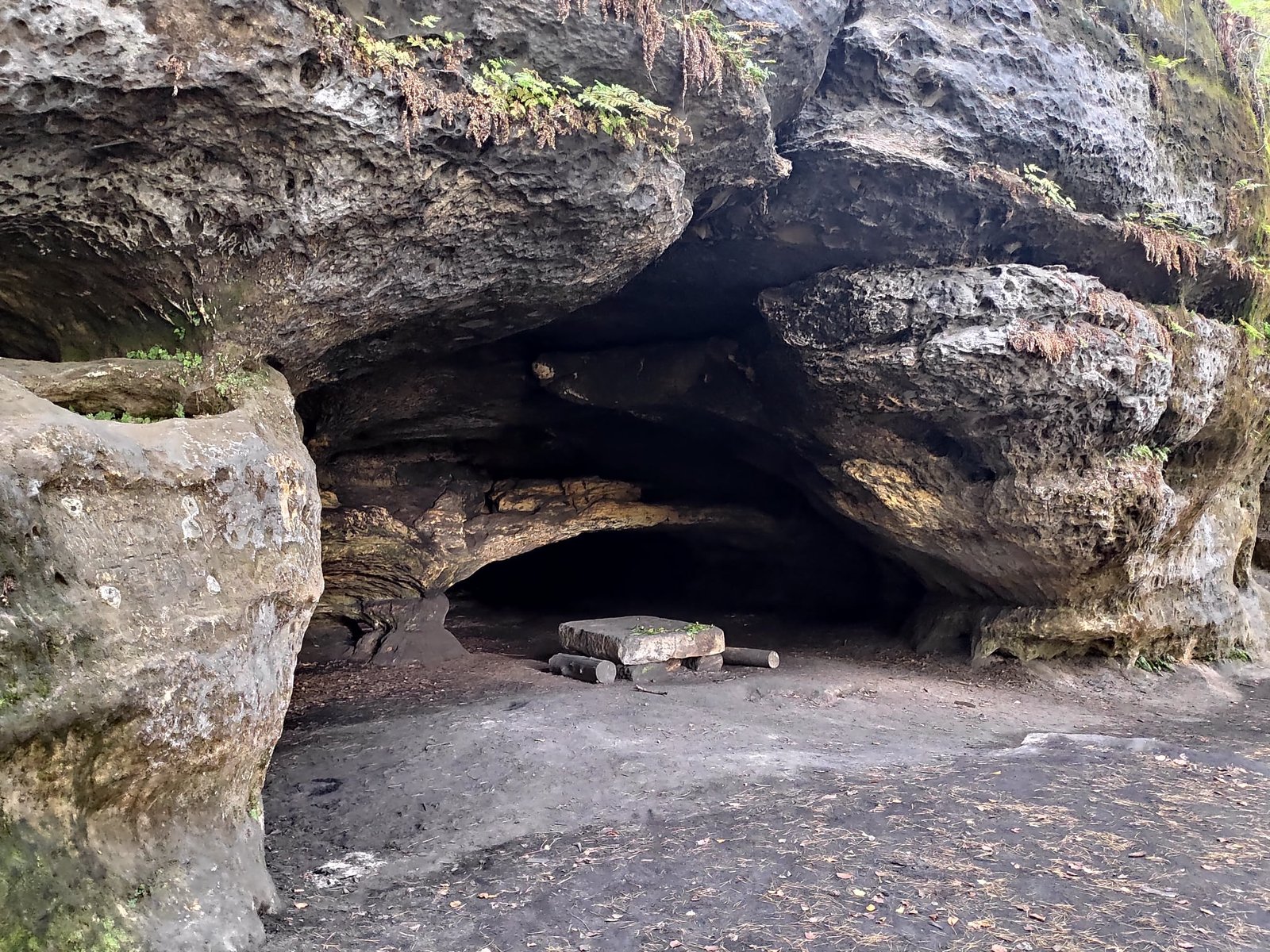
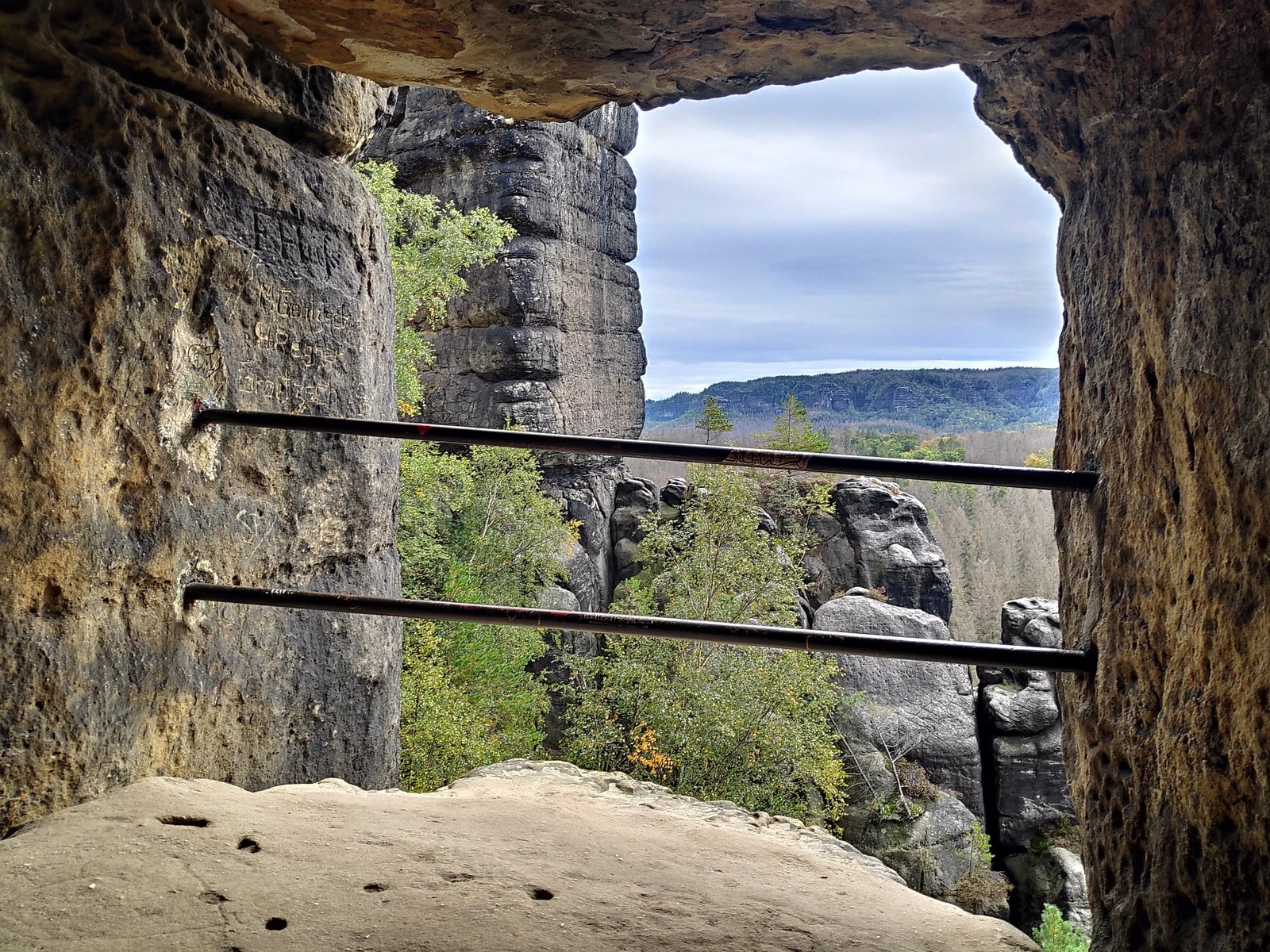
There are also several caves in the area. The Thief’s Cave (Diebskeller) is quite deep, and there is a stone table inside. From the Tailor’s Cave (Schneiderloch) there is a view of the rock towers.
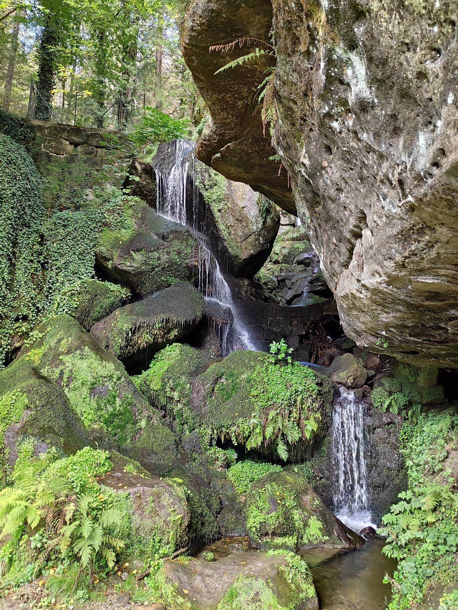
In the valley of the Kirnitzsch stream we also looked in on the Lichtenhainer Wasserfall, which tumbles over mossy boulders.
Practical information – accommodation, transport, shopping
- Base – we stayed in Bad Schandau, a spa town on the Elbe between the two parts of the park. We found a place in a good location, much cheaper than the competition. The downsides were the lack of a pavement to the property (part of the way you had to walk along the road) and the lack of proper heating – we tried to keep warm by lighting the fireplace.
- Transport – public transport (trains, buses, ferries across the Elbe) is very well organised here. A suburban train (S-Bahn) runs from Dresden to Kurort Rathen and Bad Schandau.
- Shopping – which is rare in Germany, you could shop at Lidl on a Sunday – probably because of the tourists.
- When – at the end of September we had 13–18°C, but often fog in the mornings. If the forecast predicts it, it is better to set off later and stay until sunset.
- Trails – most of the peaks are individual rocks reached by steps, footbridges and ladders – good fitness and no fear of heights come in handy. Over five days we hiked about 65 km.
We consider the trip a great success – we ticked off the vast majority of the places we wanted to see, and despite the forecast the weather turned out to be fairly kind to us. On the Czech side of the border the park continues as Bohemian Switzerland.
Photo gallery