In July 2008 I was in Italy with my sister Kasia. We stayed at a campsite by the sea in southern Tuscany, in the area known as the Maremma, and from there we drove around: to the former island of Monte Argentario with the port of Porto Santo Stefano and a scenic road above the cliffs, to Orbetello on its lagoon and to the medieval hill town of Capalbio. The post about Rome, the Vatican and the hot springs of Saturnia comes from the same trip. Practical tips are at the end.
Table of contents
- Porto Santo Stefano
- Strada Panoramica – the cliffs of Monte Argentario
- Orbetello and its lagoon
- Capalbio – walls, fortress and the church of San Nicola
- The view from Capalbio over the Maremma
- Maremma beaches
- Practical information
Porto Santo Stefano
Monte Argentario is a former island. Two sandy spits, the Giannella and the Feniglia – each about 6 km long – join it to the mainland, with a causeway from Orbetello in between. The promontory covers about 60 km², and its highest point, Punta Telegrafo, rises to 635 m. The name probably comes from the argentarii, Roman moneylenders – according to tradition, the Domitii family received the land in return for loans to Rome during the Punic Wars.
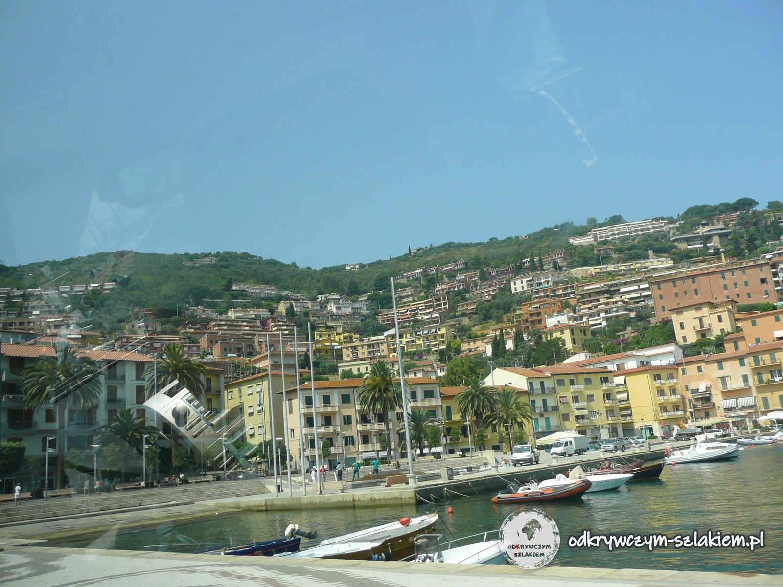
The largest town is Porto Santo Stefano on the north side of the promontory. Colourful houses climb the hillside above a harbour full of yachts and boats. Above the bay stands the Spanish Fortress (Fortezza Spagnola), built from around 1559 – it houses a museum with exhibitions on the local boatbuilders and on objects recovered from the sea around the Argentario.
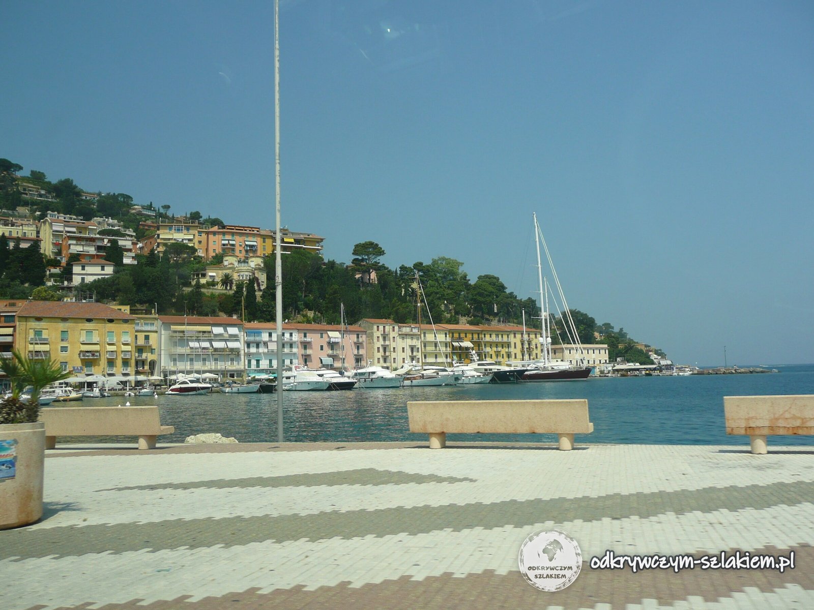
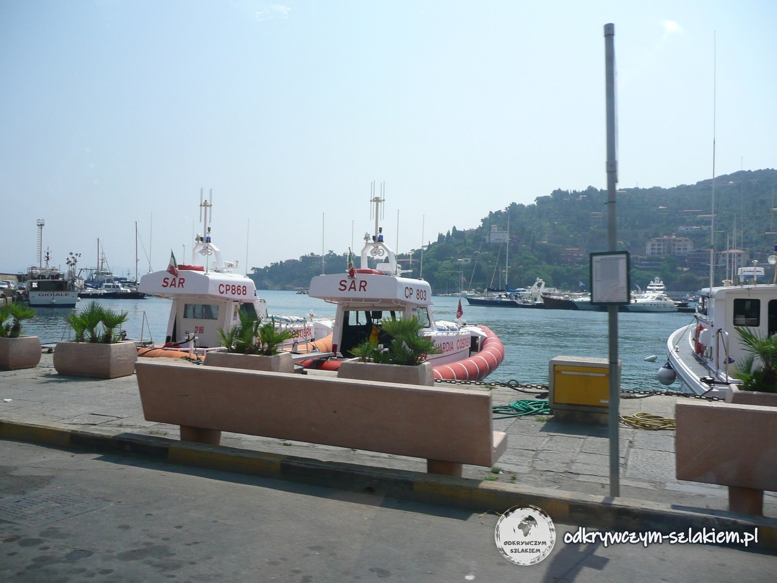
The Spanish fortified the local ports after the treaty of 1557, when Philip II created the State of the Presidi (Stato dei Presidi) – a strip of coastal strongholds from Talamone to Ansedonia, with Orbetello as its capital. The area only passed to the Grand Duchy of Tuscany after Napoleon’s fall, in 1815.
Ferries leave the port for the islands of Giglio and Giannutri. Every year on 15 August the town holds the Palio Marinaro – a 4,000 m rowing race between its four districts, held since 1937.
Strada Panoramica – the cliffs of Monte Argentario
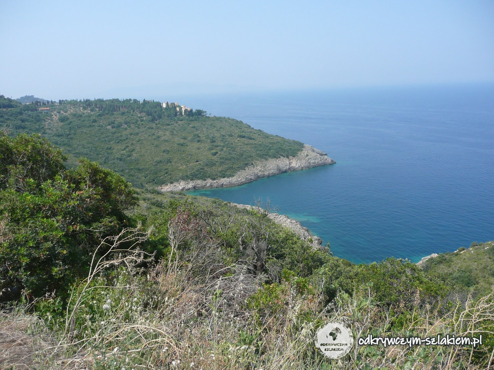
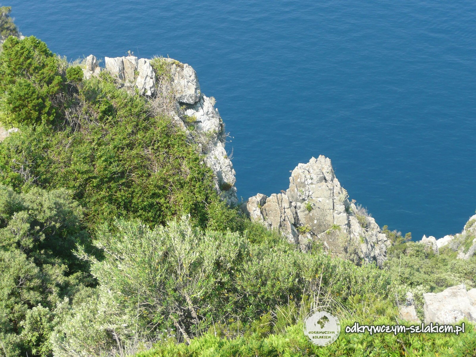
From Porto Santo Stefano we took the scenic Strada Panoramica, which runs around the promontory along the coast. On the west side it passes the coves of Cala del Bove, Cala dei Gessi, Cala Moresca and Cala Grande. We kept pulling over to look at the sea.
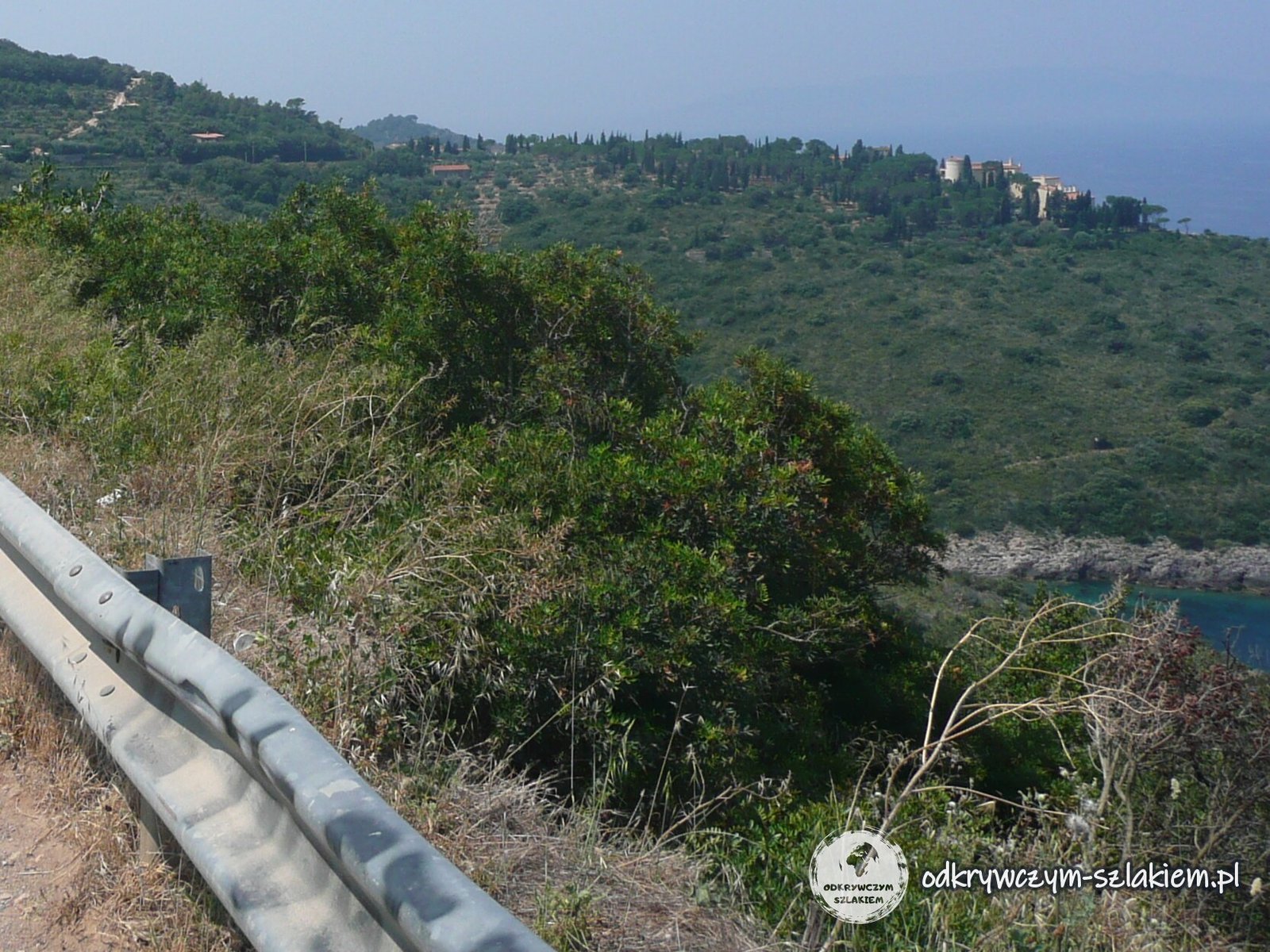
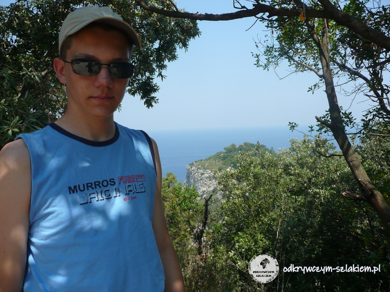
The shore here is steep and rocky: limestone cliffs drop straight into the water, and motorboats passed below. From one viewpoint you can see a rocky islet, and below the road there are villas with pools tucked into the slope.
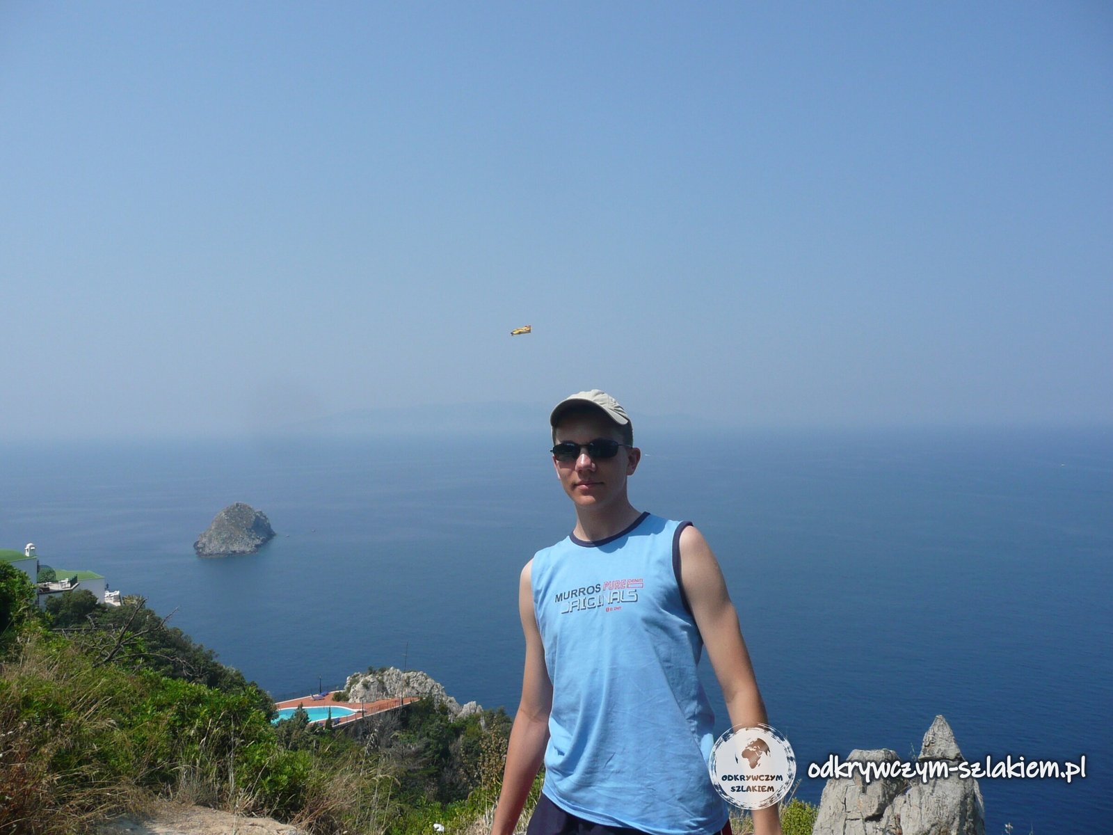
Three small islets lie off the promontory: Isola Rossa, Argentarola and Isolotto near Porto Ercole. In an underwater cave by Argentarola, scientists study how the sea level changed over thousands of years. On the seabed of Cala Grande there has been a statue of Christ the Redeemer since 1990, the goal of underwater pilgrimages by divers.
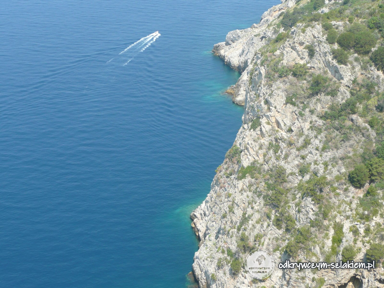
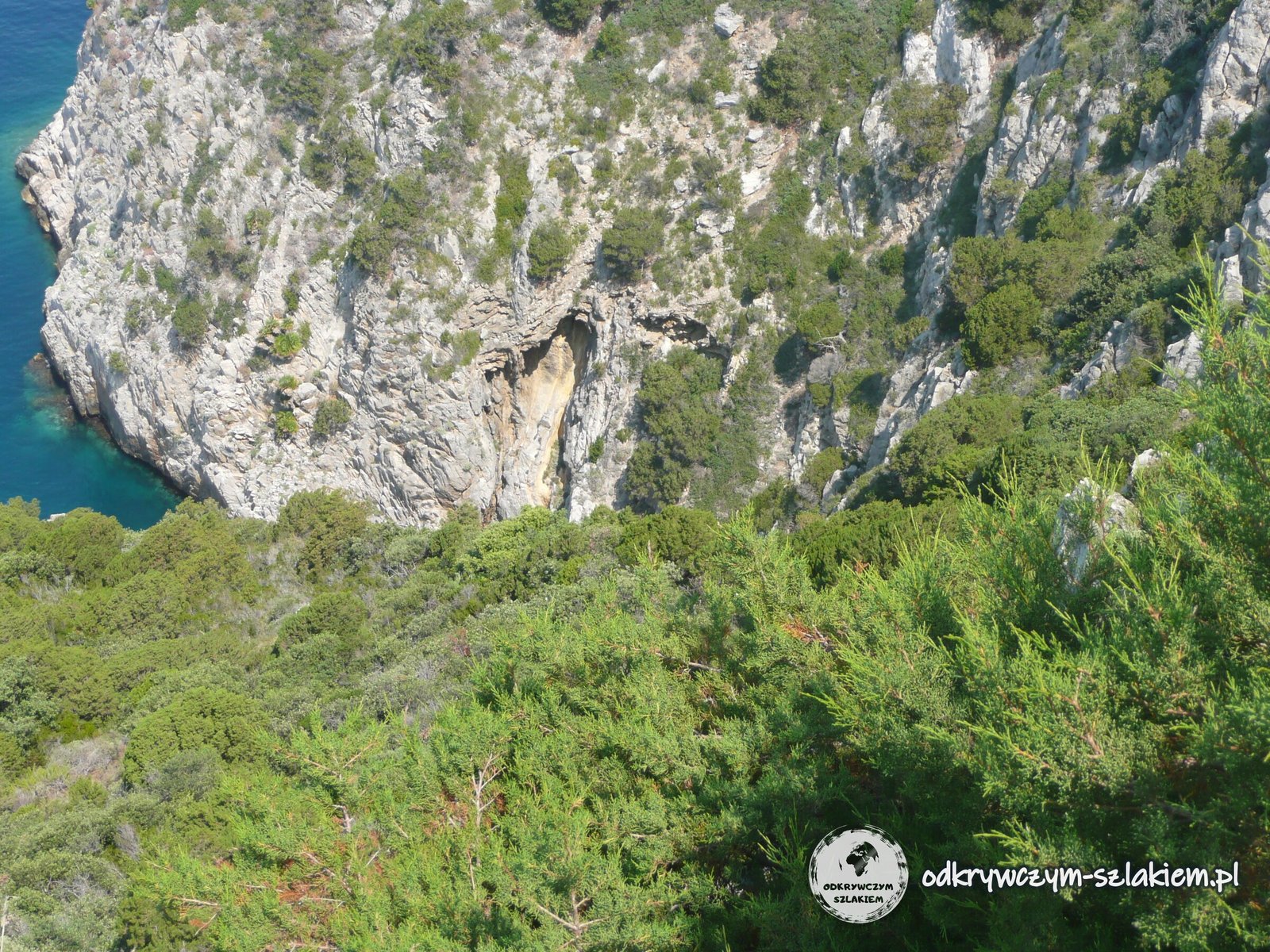
Around Punta Avvoltore, in the south-west of the promontory, the tarmac ends. For about 4 km the route then follows gravel private roads open to traffic and rejoins the tarmac by the Torre Ciana tower. By the road a sign warned of a broken road surface and roadworks, with a 5 km/h speed limit.
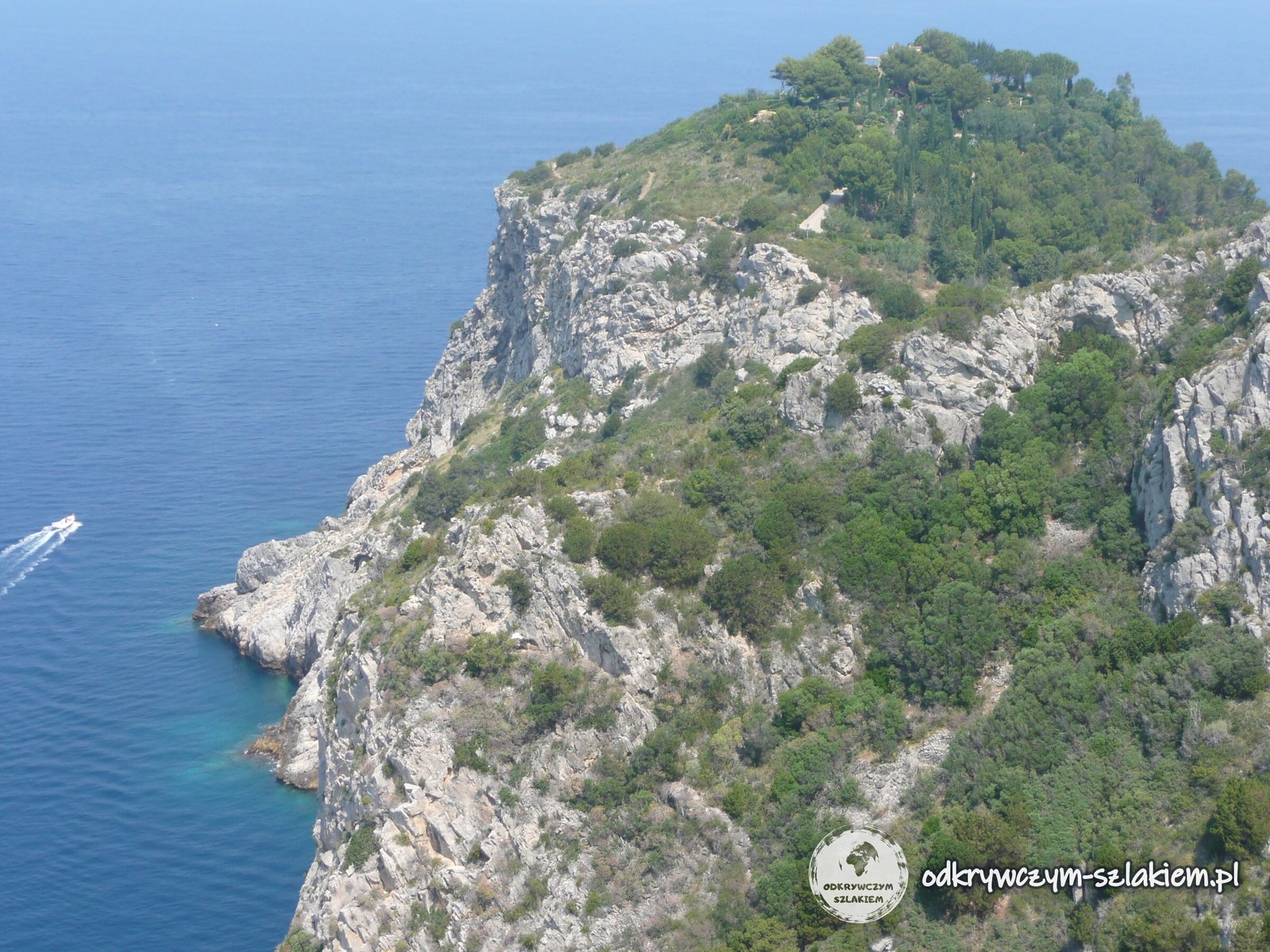
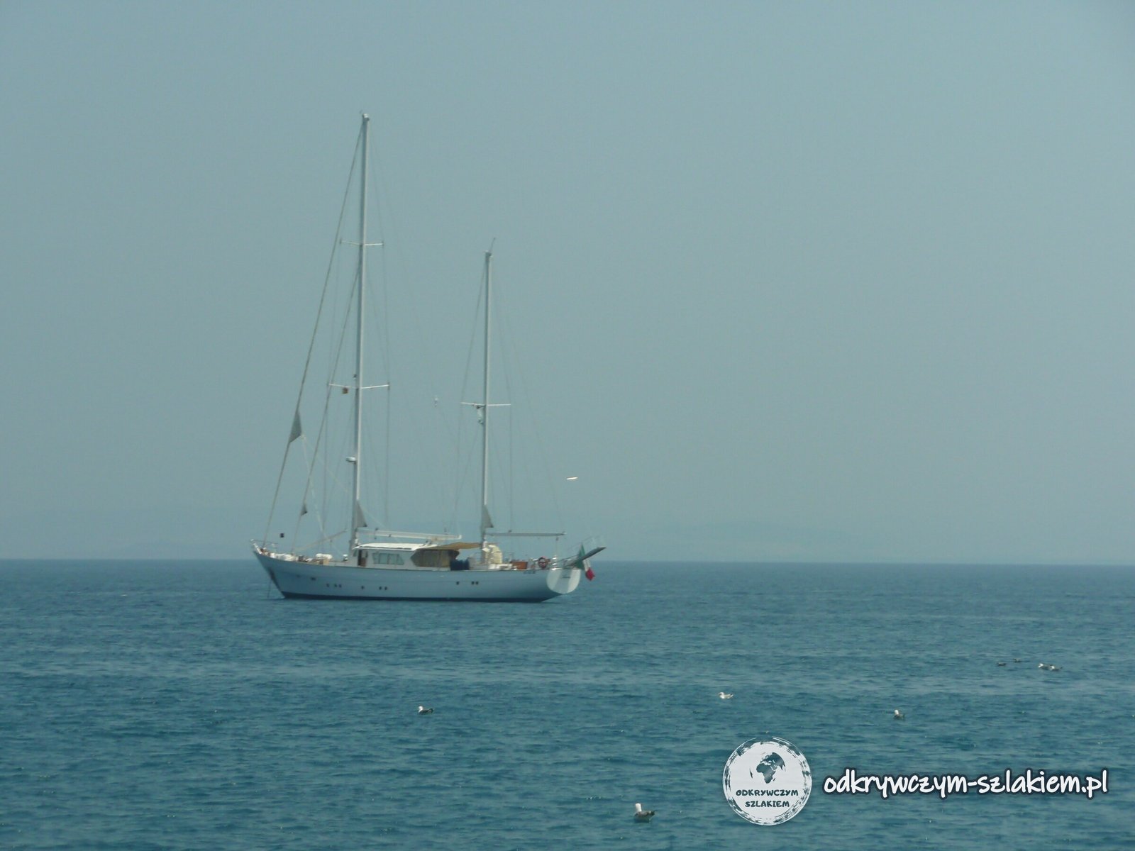
On a clear day you can see the islands of Giglio and Giannutri from the road. In the July heat, though, the horizon was lost in haze.
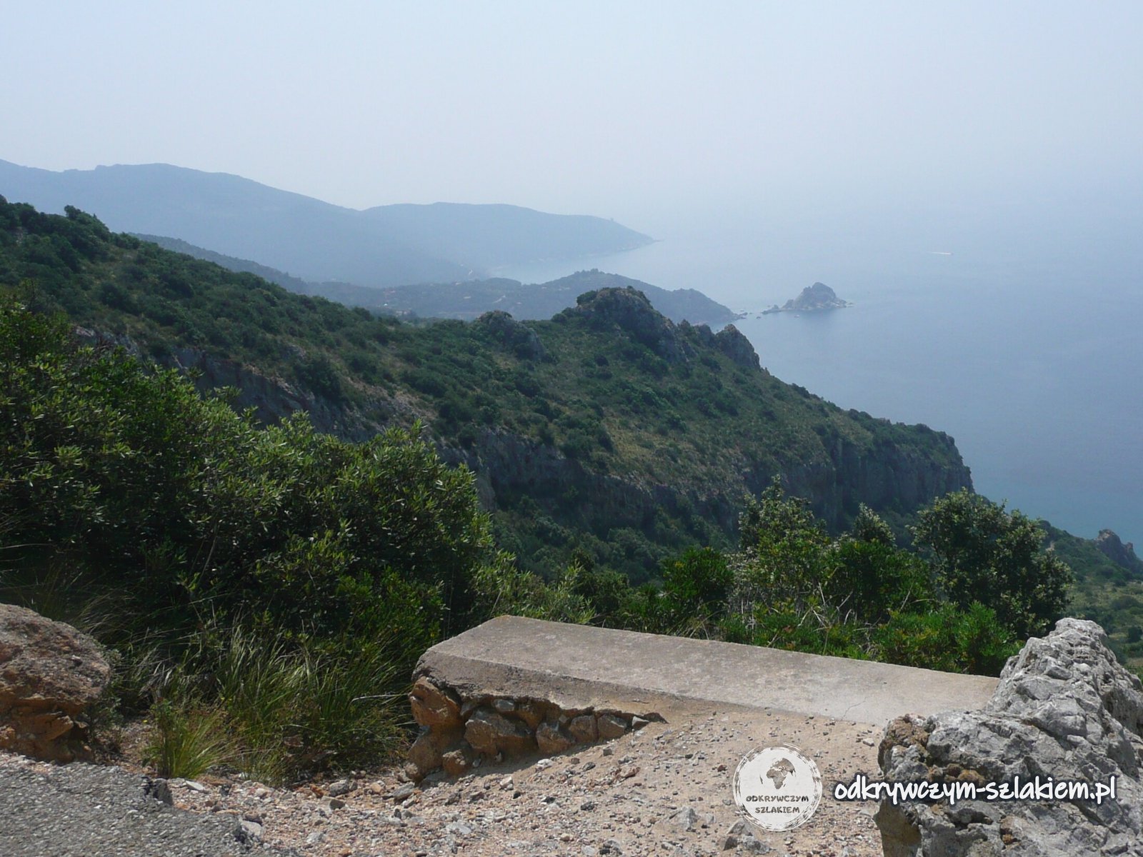
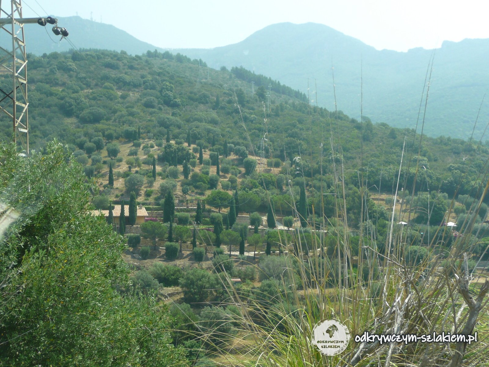
Higher up, the slopes are lined with terraces of olive groves and cypresses. On the other side of the promontory lies Porto Ercole with the Spanish forts of Filippo and Stella – the painter Caravaggio died of a fever there in 1610.
Orbetello and its lagoon
Finally we drove to Orbetello. The town sits on a narrow strip of land in the middle of the lagoon and is linked to Monte Argentario by the Diga Leopoldina causeway, built in 1841–1842 on the orders of Grand Duke Leopold II. The causeway divides the lagoon into a western part (di Ponente) and an eastern part (di Levante).
The lagoon covers about 27 km² but is on average only about 1 m deep. Its western part is a nature reserve with a WWF oasis; flamingos are among the birds that come here.
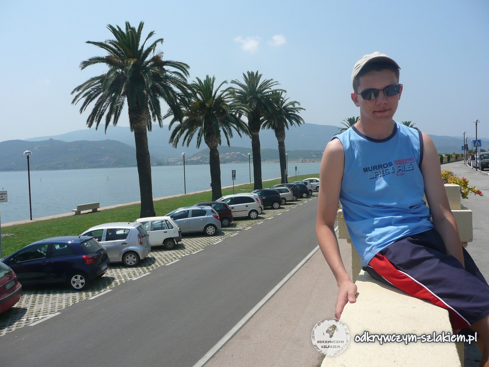
We walked along the palm-lined promenade right by the water, with Monte Argentario across the lagoon. In the town it is worth seeing parts of the Etruscan walls, the cathedral of Santa Maria Assunta, rebuilt in 1375 in the Tuscan Gothic style, and the Spanish Mill (Mulino Spagnolo) standing in the water by the causeway – the only survivor of nine mills built here by the Sienese in the 15th century.
The lagoon was also a seaplane base. On 1 July 1933, 25 Savoia-Marchetti S.55X seaplanes led by Italo Balbo took off from here and flew across the Atlantic to Chicago for the Century of Progress world’s fair.
Capalbio – walls, fortress and the church of San Nicola
A few days later, towards evening, we drove to Capalbio – a medieval hill town inland, right by the border with Lazio. It is first mentioned in 805, when Charlemagne granted the land to the Roman abbey of Tre Fontane. Later Capalbio belonged to the Aldobrandeschi and Orsini families, and from 1416 to Siena.
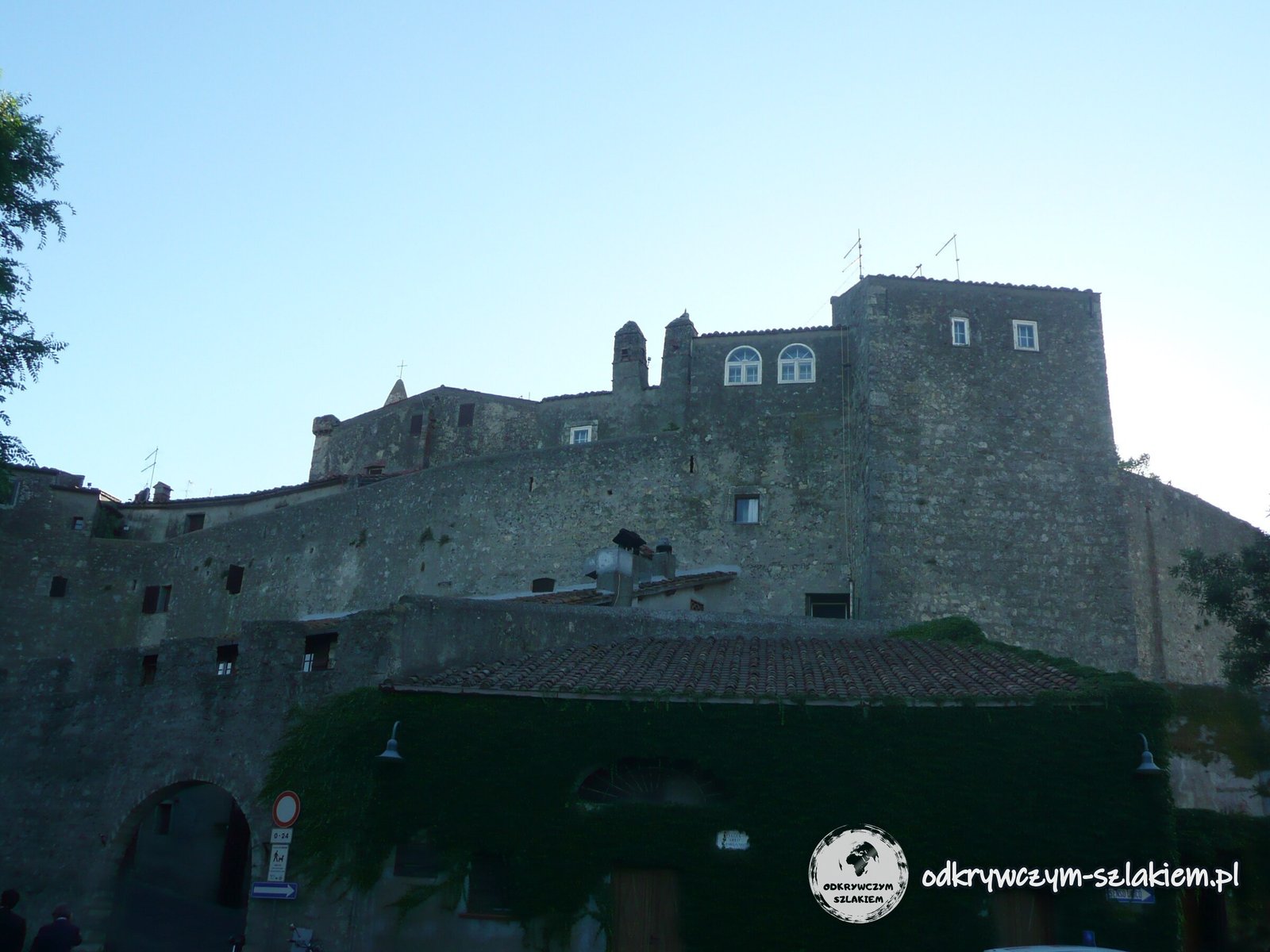
The old town is surrounded by double walls with sentry walks at different levels. The Aldobrandeschi built the inner ring in the 11th–12th centuries, and the Sienese added the outer one in the 15th century. You can walk all the way round the walls – along the way there are small shops and benches with a view of the countryside.
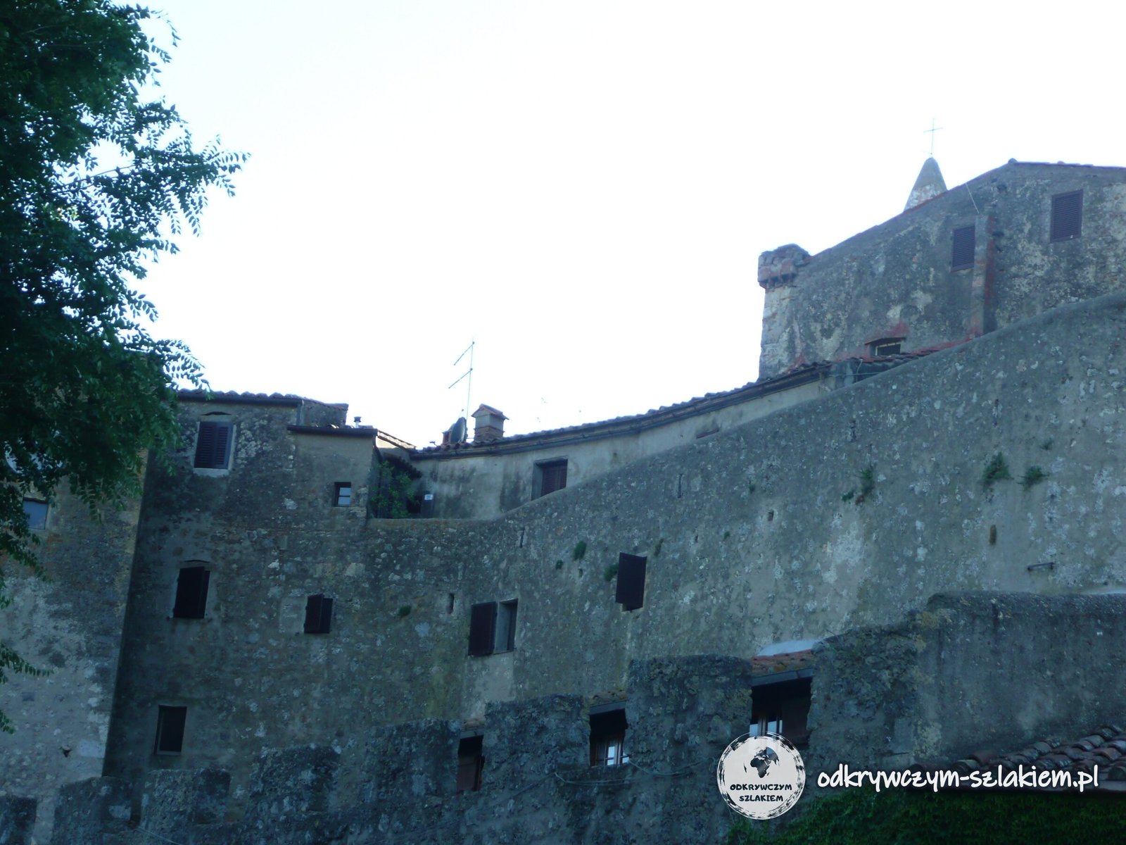
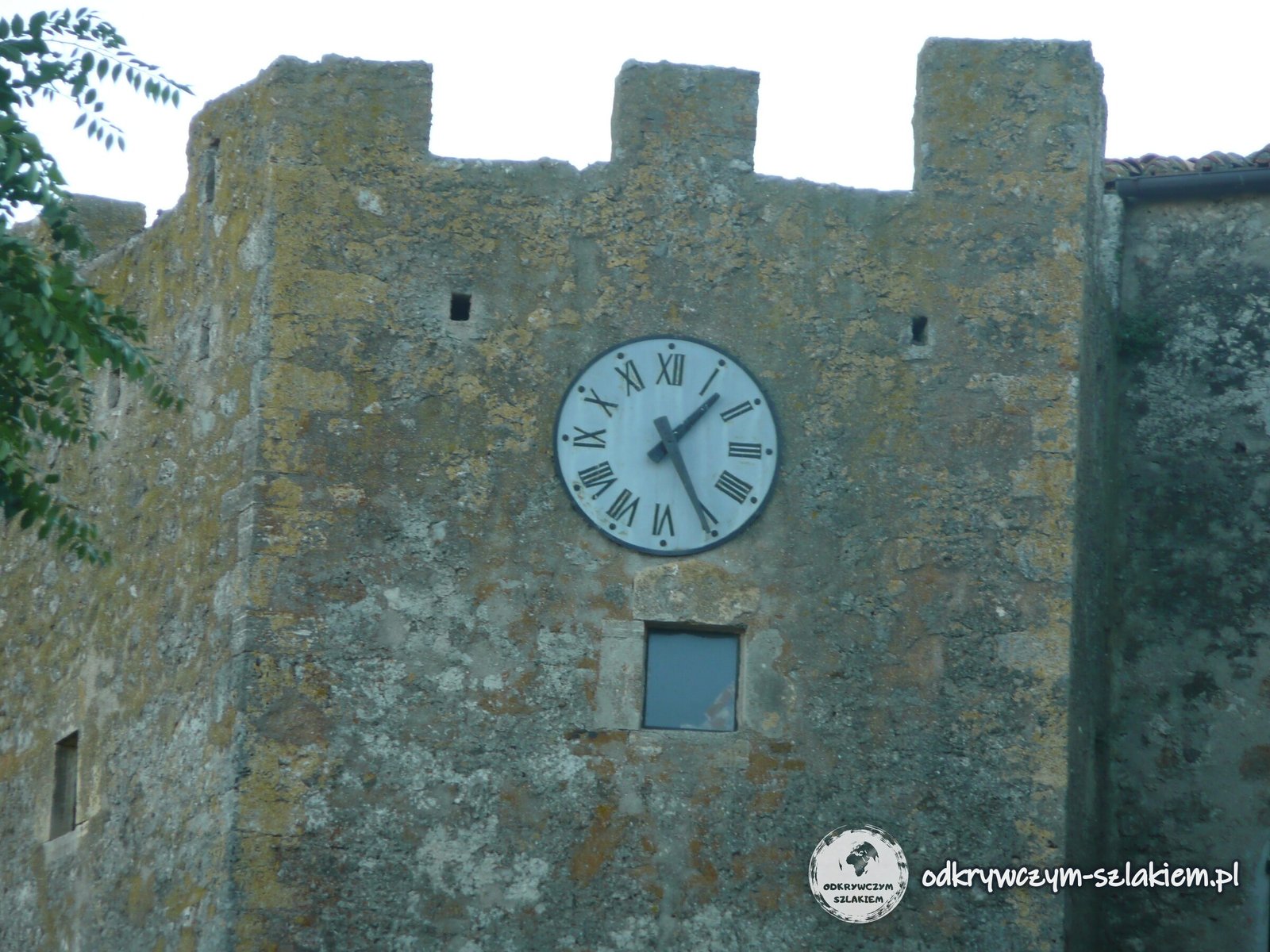
You enter through the Porta Senese gate, with a plaque from 1418 commemorating the restoration of the walls. At the top of the hill stands the Rocca Aldobrandesca – a square, crenellated tower with the Renaissance Palazzo Collacchioni attached to it. The palace has a Conrad Graf piano played by Giacomo Puccini, who came to Capalbio to hunt.
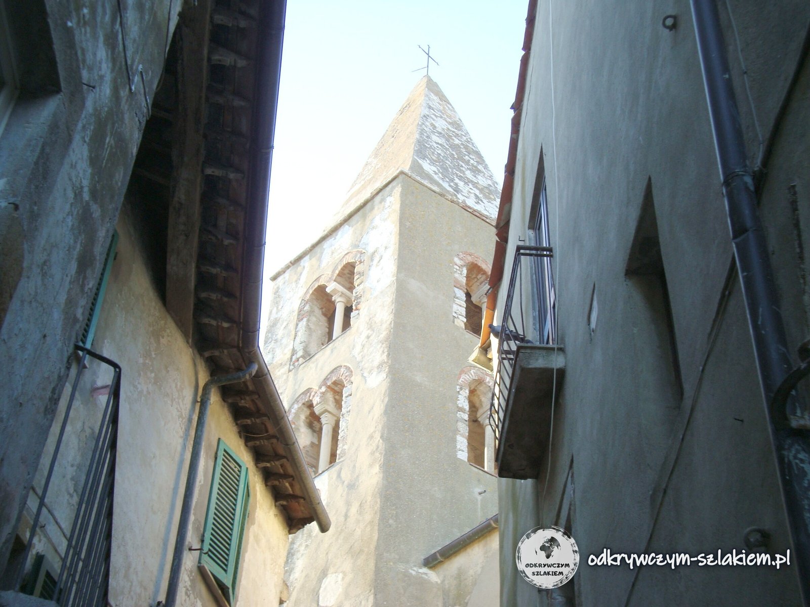
Next to the fortress stands the 12th-century church of San Nicola, rebuilt in the Gothic style in the 14th century, with Renaissance frescoes in its side chapels. Its plastered bell tower rises above the narrow lanes.
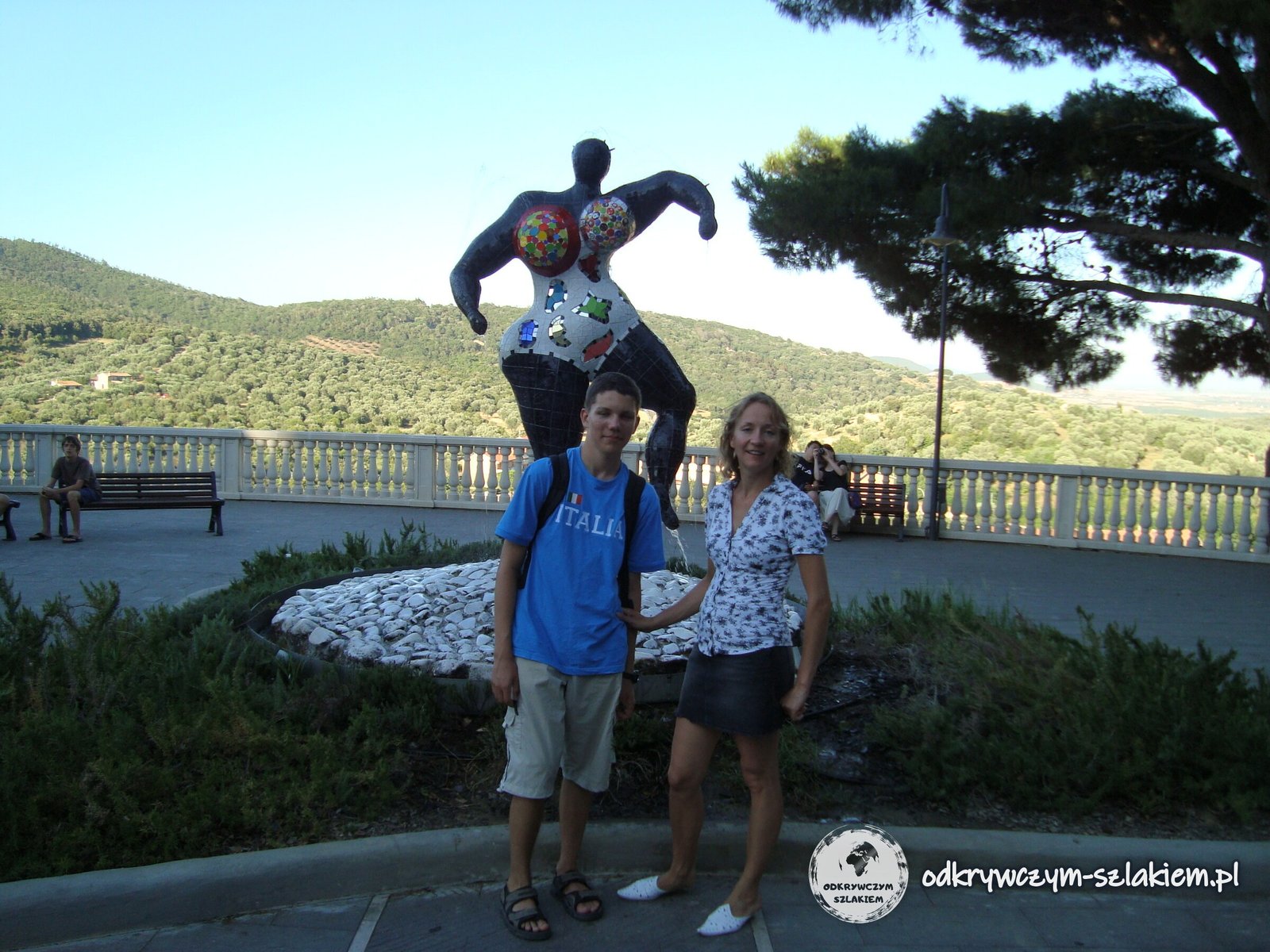
Just outside the walls, on a viewing terrace, stands a colourful sculpture by Niki de Saint Phalle. Not far from here, in Garavicchio, the same artist created the Tarot Garden (Giardino dei Tarocchi) – a park with sculptures of the 22 major arcana of the tarot, some up to 15 m tall. She worked on it from 1979.
The view from Capalbio over the Maremma
From the walls and the terrace you can see the southern Maremma – a plain of fields and olive groves stretching all the way to the sea. For centuries it was plagued by malaria, which made Capalbio decline and empty. The town is one of “the most beautiful villages in Italy” (I Borghi più belli d’Italia) and is sometimes called “Little Athens” for its lively cultural life.
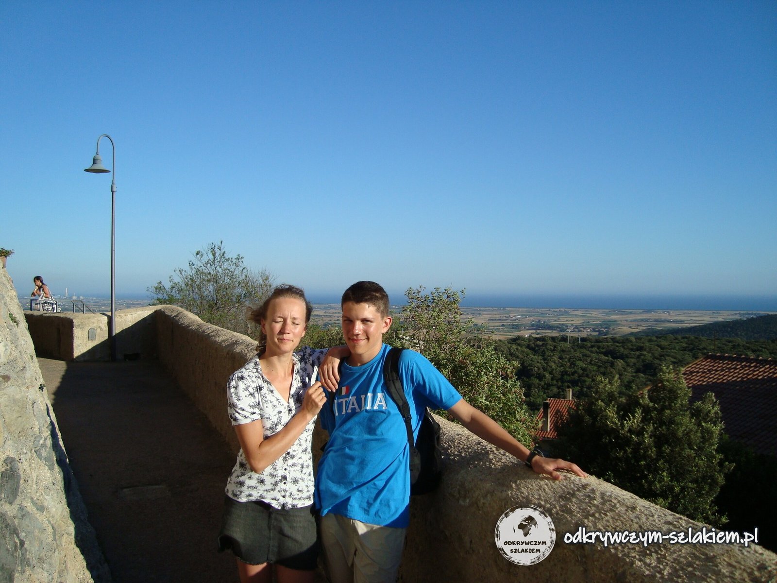
On the horizon, right by the sea, you can see the tall chimney of the Alessandro Volta power station in Montalto di Castro, already in Lazio. It was built in 1992–1998 next to the unfinished Alto Lazio nuclear power plant, abandoned when Italy gave up nuclear energy.
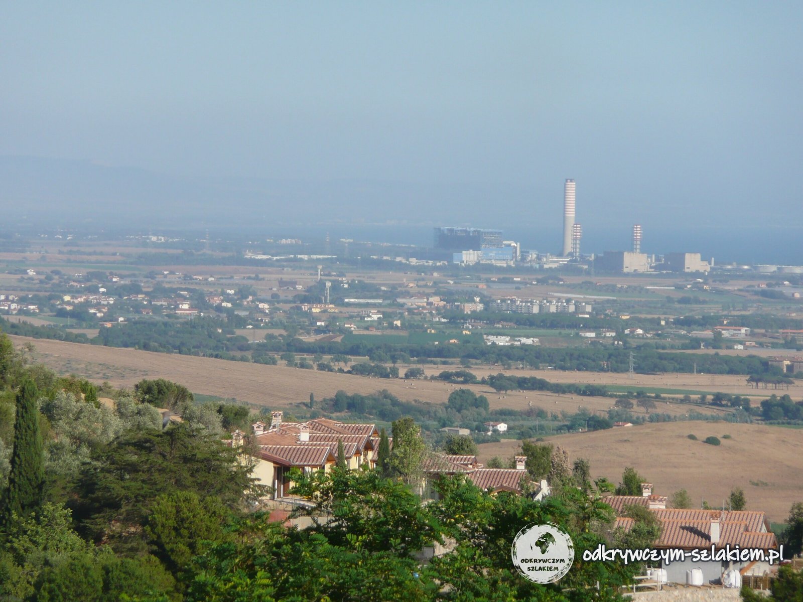
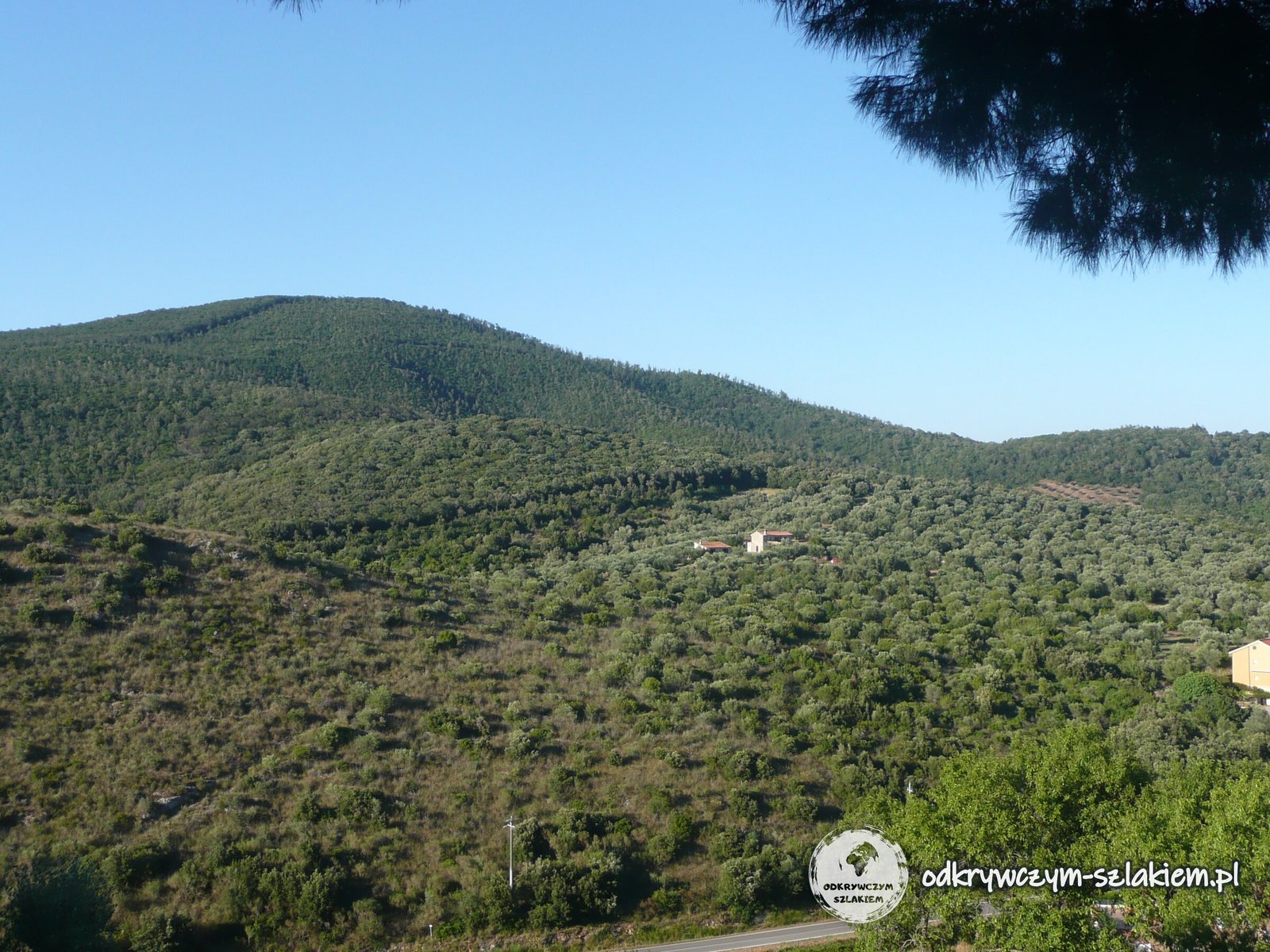
Olive groves surround the town, and wooded hills stretch inland. Some of them belong to the regional Monte Verro – Monteti forest area, signposted by the terrace.
Maremma beaches
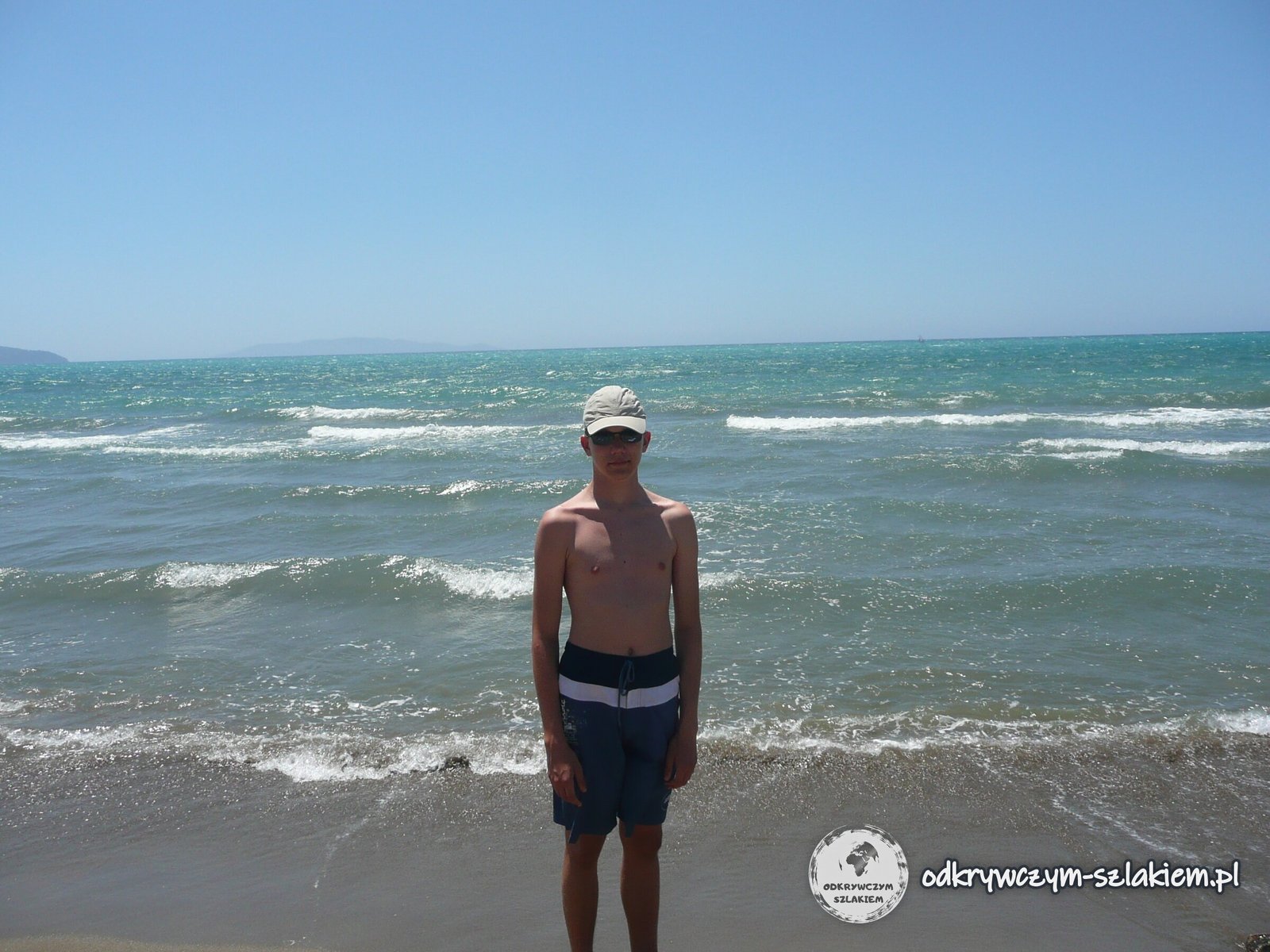
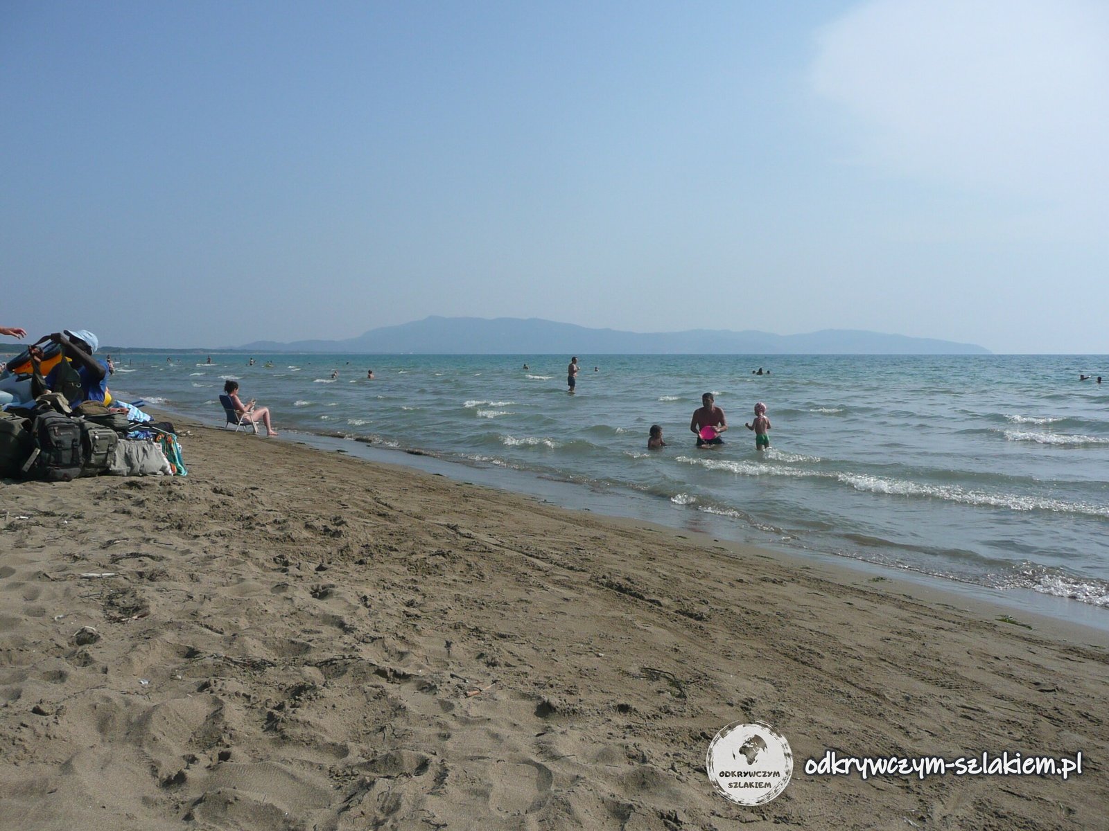
Between trips we rested on the beach by the campsite. The coast here is flat and sandy, with dunes behind the beach covered in Mediterranean maquis and stone pines.
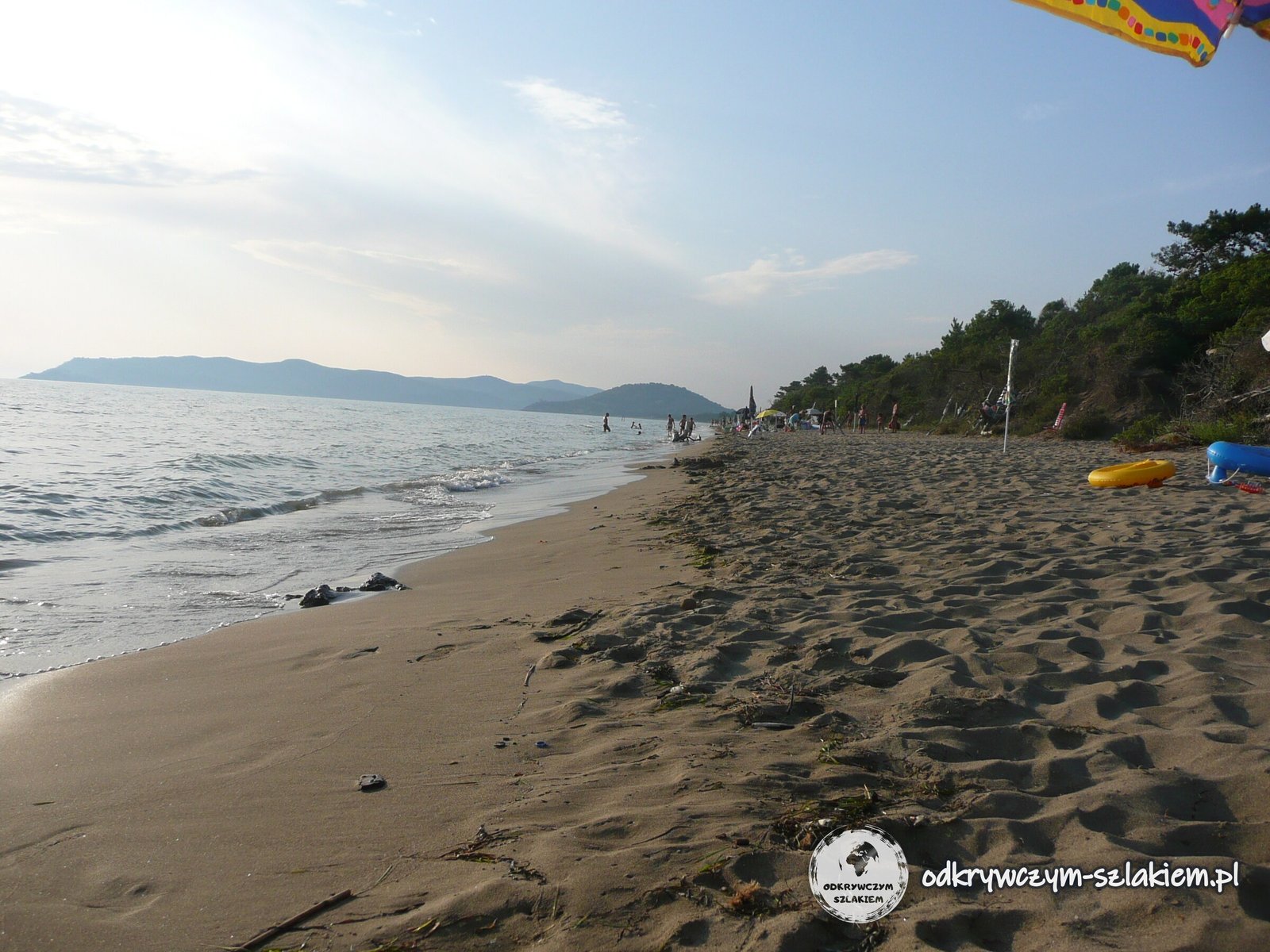
The municipality of Capalbio alone has about 12 km of sandy coast with the beaches of La Torba, Macchiatonda and Chiarone, and there is a WWF oasis at Lake Burano. The longest beaches of Monte Argentario are on the Feniglia and Giannella spits.
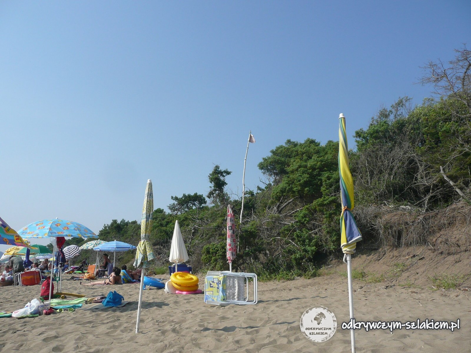
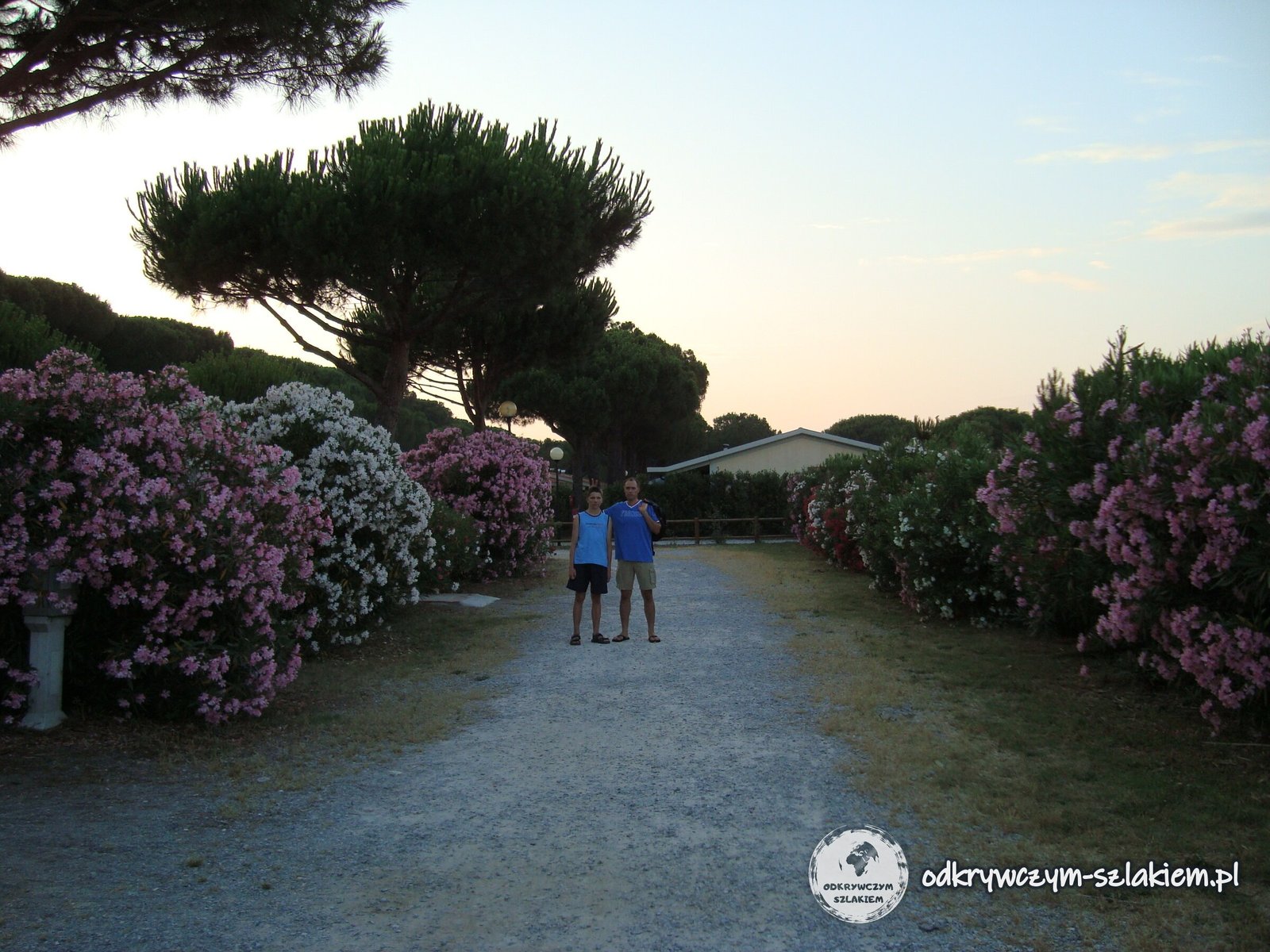
We slept in tents at a campsite among stone pines and flowering oleanders.
During the same stay we also spent a day in Rome and went to the hot springs of Saturnia – they have a separate post: Rome and the Vatican in one day, plus the hot springs of Saturnia.
Practical information
- Getting there: Monte Argentario is about 150 km north-west of Rome; leave the Aurelia road at Albinia. Orbetello-Monte Argentario station on the Rome–Genoa line is about 15 km from Porto Santo Stefano, and almost every train stops there, long-distance ones included. Capalbio’s station is in Capalbio Scalo.
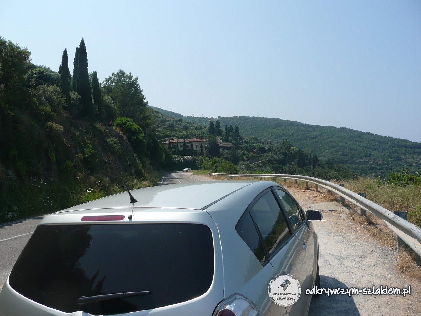
- Strada Panoramica: the stretch around Punta Avvoltore (about 3–4 km) is unpaved. In December 2024 the newspaper La Nazione reported that it could only be driven in a 4×4 and that the region and the municipality were preparing to secure the slope against falling rocks. Check whether it is open before you go. The paved sections from Porto Santo Stefano (SP65) and Porto Ercole (SP66) are fine for an ordinary car.
- How much time: about 2 hours by car, with short stops, are enough for Porto Santo Stefano, the western part of the scenic road and Orbetello. An hour is enough for a walk round the walls of Capalbio – it is worth coming in the evening, when the heat eases.
- By bike: Visit Tuscany describes a 41 km gravel and mountain-bike loop around Monte Argentario, starting and finishing at the Orbetello causeway.
- Ferries: ferries run from Porto Santo Stefano to the island of Giglio (about an hour) and to Giannutri.
- Tarot Garden: open daily from 1 April to 15 October; the organisers strongly recommend booking tickets online in advance (as of 2026).
- Weather: summer here is hot and humid and the horizon is often hazy – for long views from the promontory, spring, which is warm and dry, is better.
Photo gallery