The Main Sudetes Trail (Główny Szlak Sudecki, GSS) is a red-marked trail across almost all of the Polish Sudetes – about 440 km from Świeradów-Zdrój to Prudnik. We walked its western part in two stages: at the end of March 2022, in full winter, with Patrycja, Wiktor and Karol, and in June 2023 with Patrycja, Michał and Jarek. Both trips have their own detailed reports: the Main Sudetes Trail in winter and the Main Sudetes Trail in summer. Here I have put together the trail itself – section by section, from the start in Świeradów-Zdrój to Wałbrzych, with distances, huts and the Crown of Polish Mountains peaks along the way – and what is still left to walk.
Table of contents
- The Main Sudetes Trail in a nutshell
- The Jizera Mountains: from Świeradów-Zdrój to Szklarska Poręba (27 km)
- Szrenica in winter: a snowstorm and turning back
- The Giant Mountains in summer: from Szklarska Poręba to the Karkonosze Pass (about 17 km)
- Śnieżka and the descent to Karpacz (about 16 km)
- The Rudawy Janowickie: from Karpacz over Skalnik (about 32 km)
- Lubawka, a detour to Adršpach and the finish in Wałbrzych
- What is left: from Wałbrzych to Prudnik
- Practical information
The Main Sudetes Trail in a nutshell
The trail is named after Mieczysław Orłowicz, a promoter of tourism and regional sightseeing who came up with the idea. The concept of a walk across the whole of the Polish Sudetes was born in 1947 at a meeting of the Polish Tatra Society in Jelenia Góra. For many years the GSS ended at the railway station in Paczków; since 2009 it has continued through the Opawskie Mountains to Prudnik. Waldemar Brygier’s guidebook gives 443 km and about 120 hours of walking.
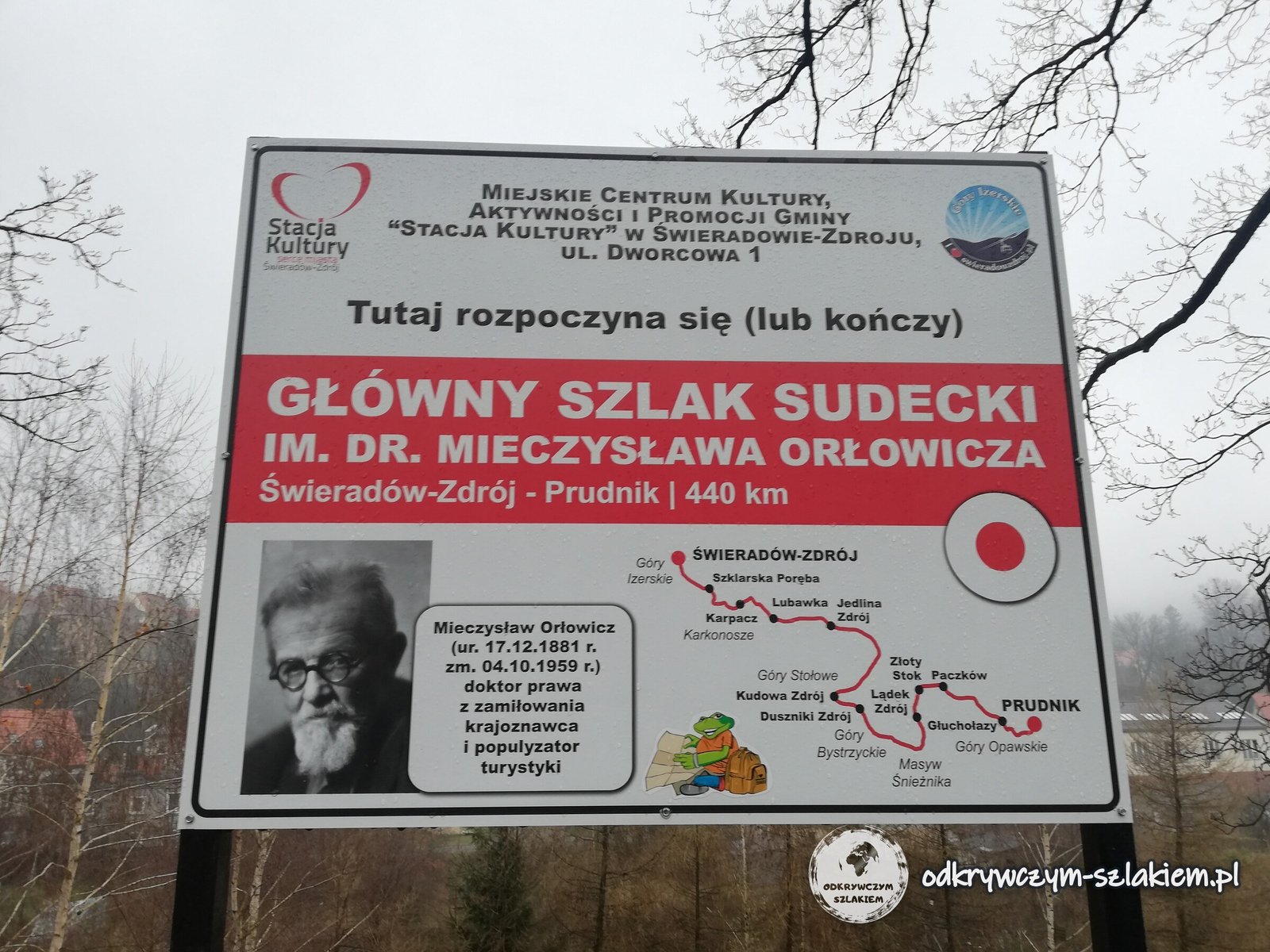
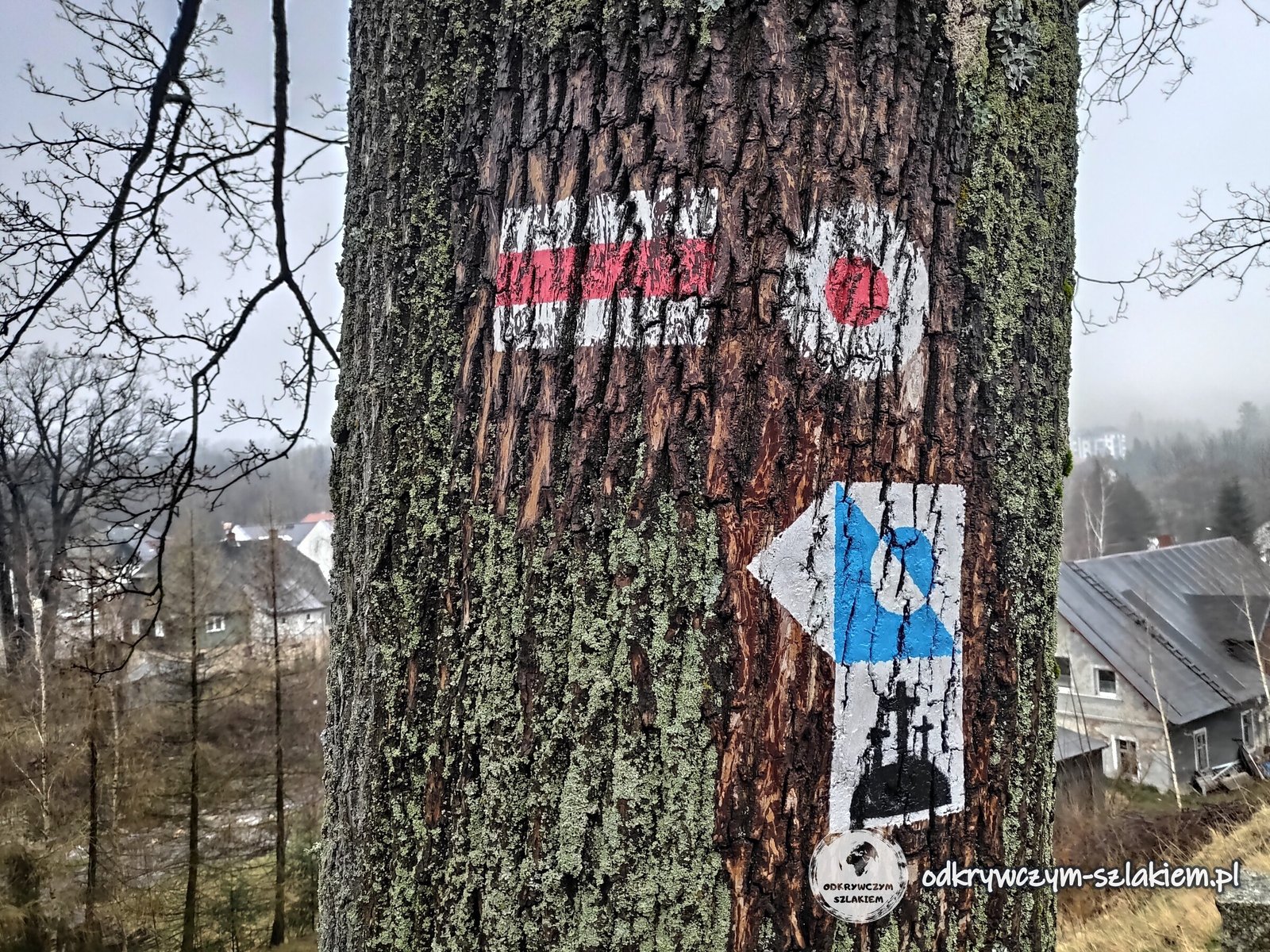
The trail starts by the station in Świeradów-Zdrój, where a board reads “Here begins (or ends) the Main Sudetes Trail”, with a map of the whole route. The GSS marker is a red stripe between two white ones, and the start and end of the trail are marked with a red circle on a white background – like the one on a tree a few steps from the board. On its way the trail crosses more than a dozen ranges, from the Jizera Mountains to the Opawskie Mountains.
All the way to Wałbrzych we walked about 180 km in 9 days – including the descents to our accommodation, Śnieżka and the detour to the Czech Republic.
The Jizera Mountains: from Świeradów-Zdrój to Szklarska Poręba (27 km)
From Świeradów-Zdrój (about 470 m above sea level) the trail climbs straight up to the ridge of the Jizera Mountains (Góry Izerskie). The first point is Stóg Izerski, with the upper station of the gondola lift and a hut. Then the GSS follows the ridge via Łącznik (1066 m), Polana Izerska and the Młaki viewpoint. This section has both wide forest roads and narrow paths through spruce forest.
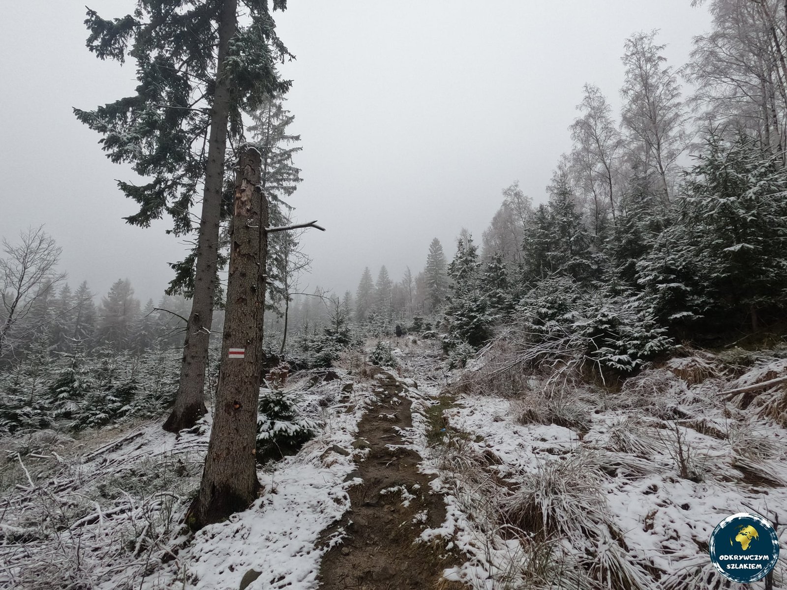
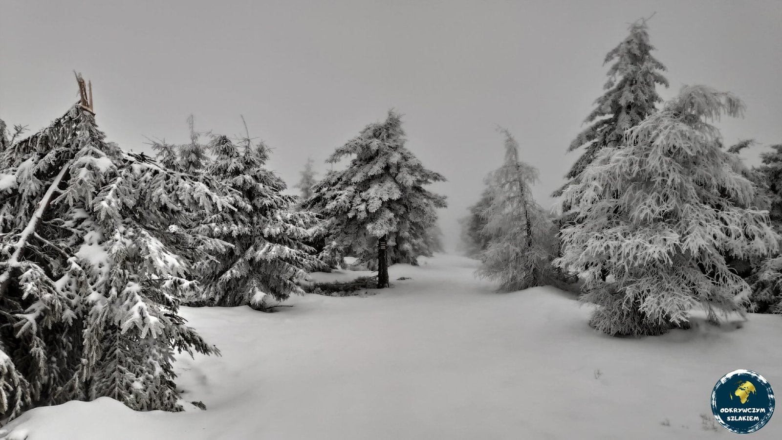
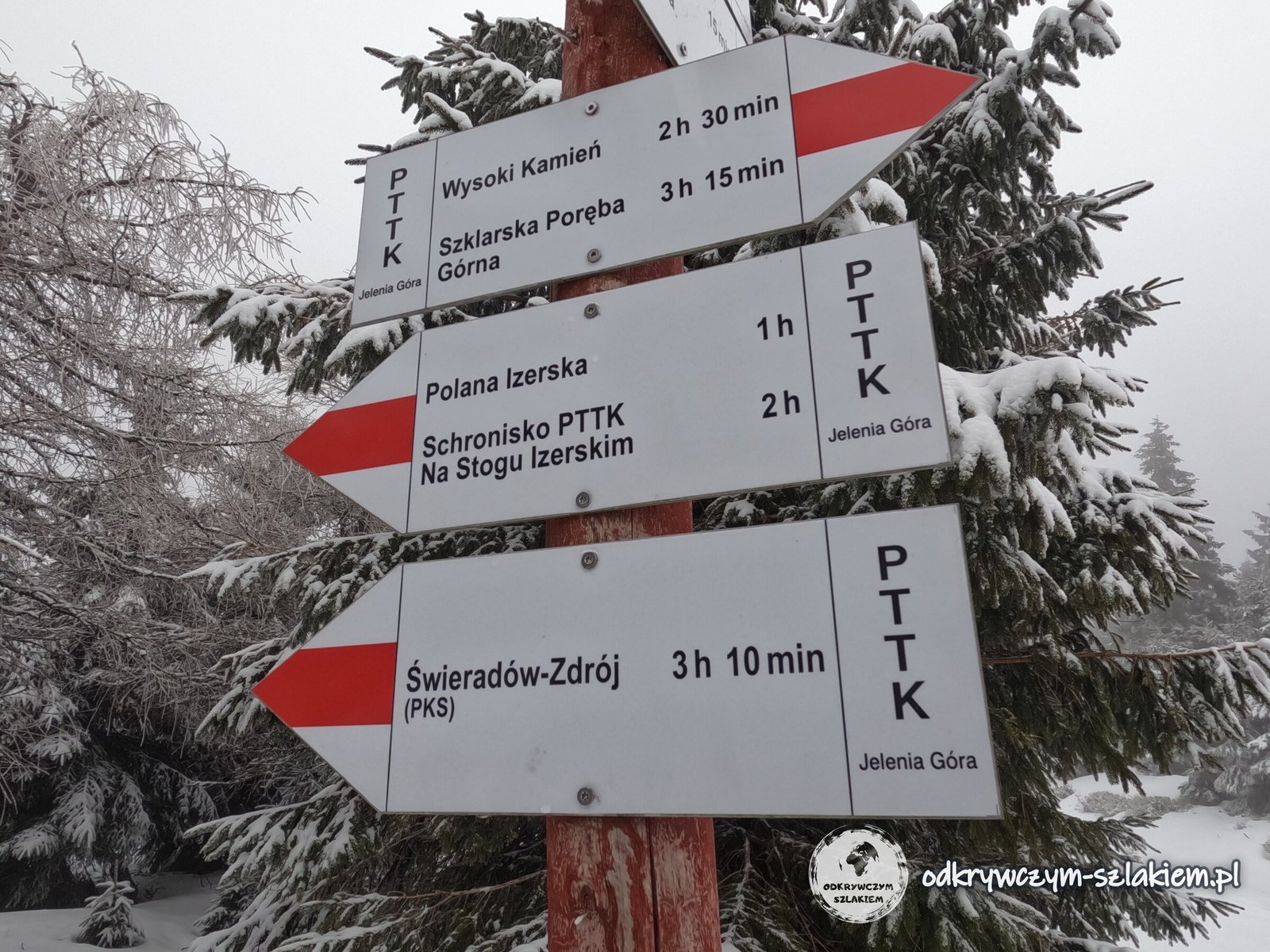
We walked here in the last days of March. There was fog from the morning, the temperature dropped below zero and we kept sinking into snow above our knees – the path was not trodden, as we met only a few people. The huts on Stóg Izerski and Wysoki Kamień were closed at the time. The PTTK signposts show walking times: an hour past Polana Izerska there are still 3 h 15 min to go to Szklarska Poręba Górna.
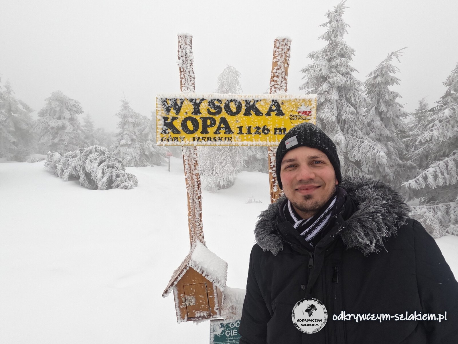
The highest peak of the Jizera Mountains, Wysoka Kopa (1126 m), is the first Crown of Polish Mountains peak on the GSS. The sign with the stamp box stands by the red trail, about 400 m from the shelter – it was moved there to protect the black grouse.
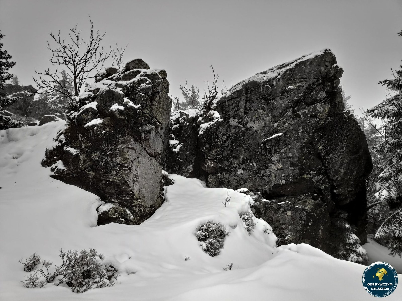
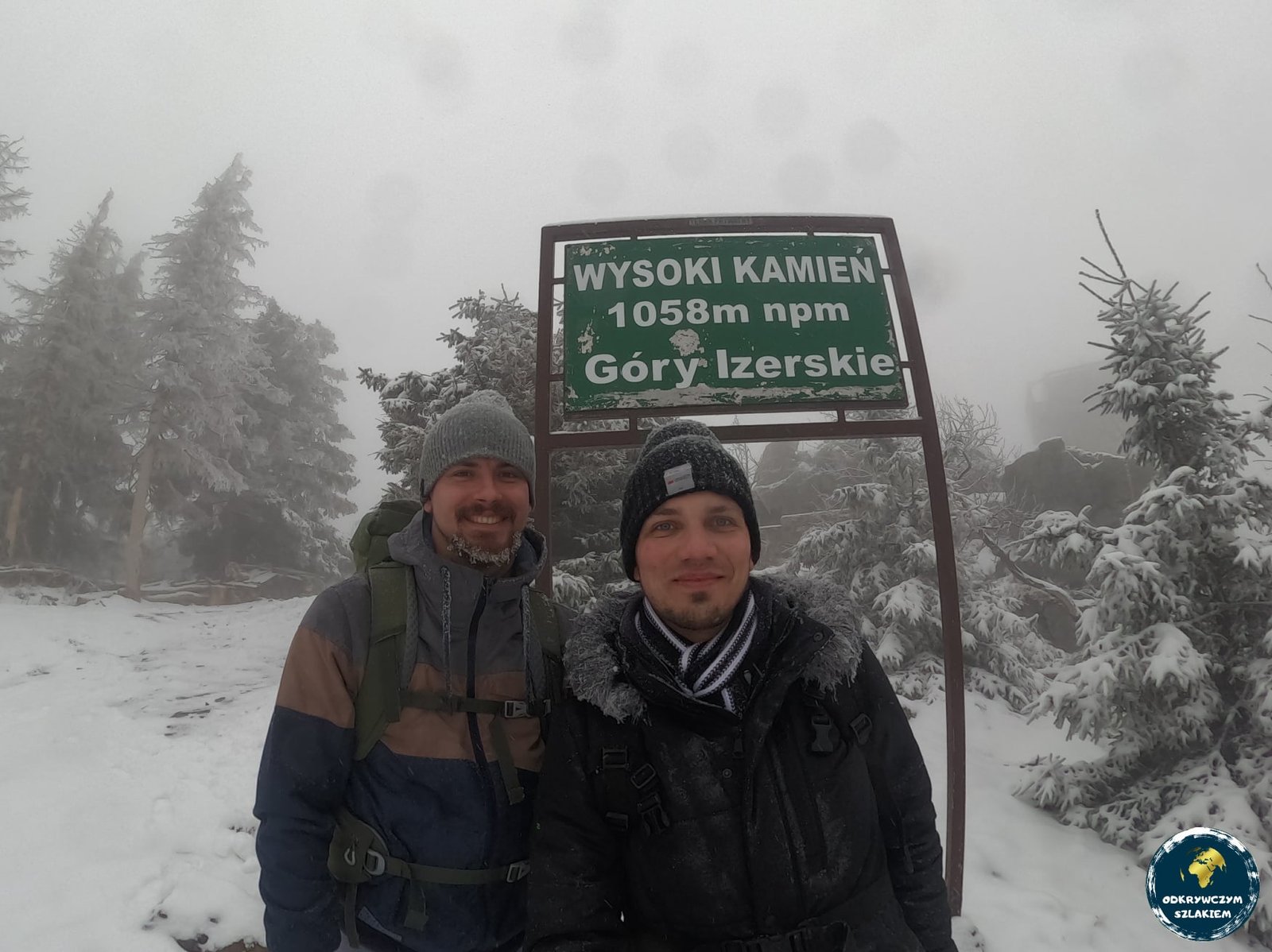
Beyond Wysoka Kopa the trail passes the Zwalisko rocks next to the former Stanisław quartz mine – founded in the 1950s, it was regarded as the highest mining site in Central Europe – and reaches the hut on Wysoki Kamień (1058 m). From there only the descent to Szklarska Poręba remains. That day was about 27 km long and ended with soaked boots.
Szrenica in winter: a snowstorm and turning back
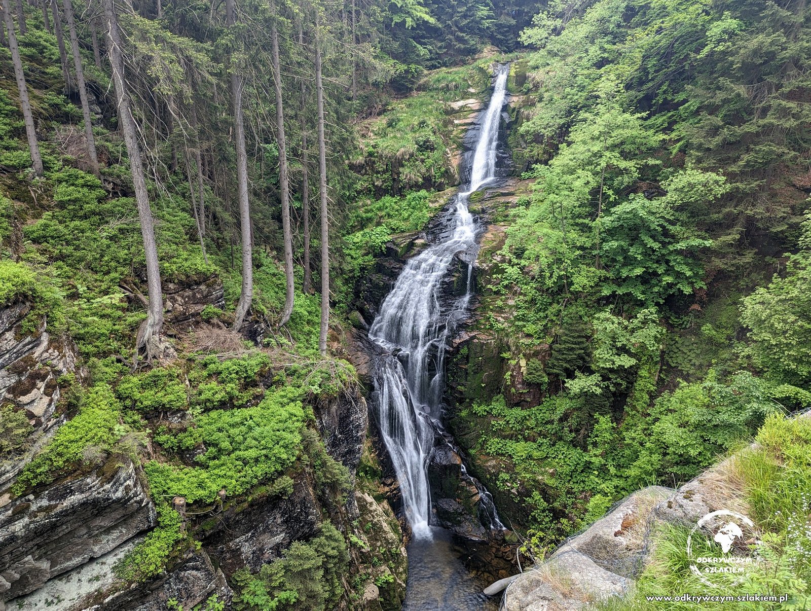
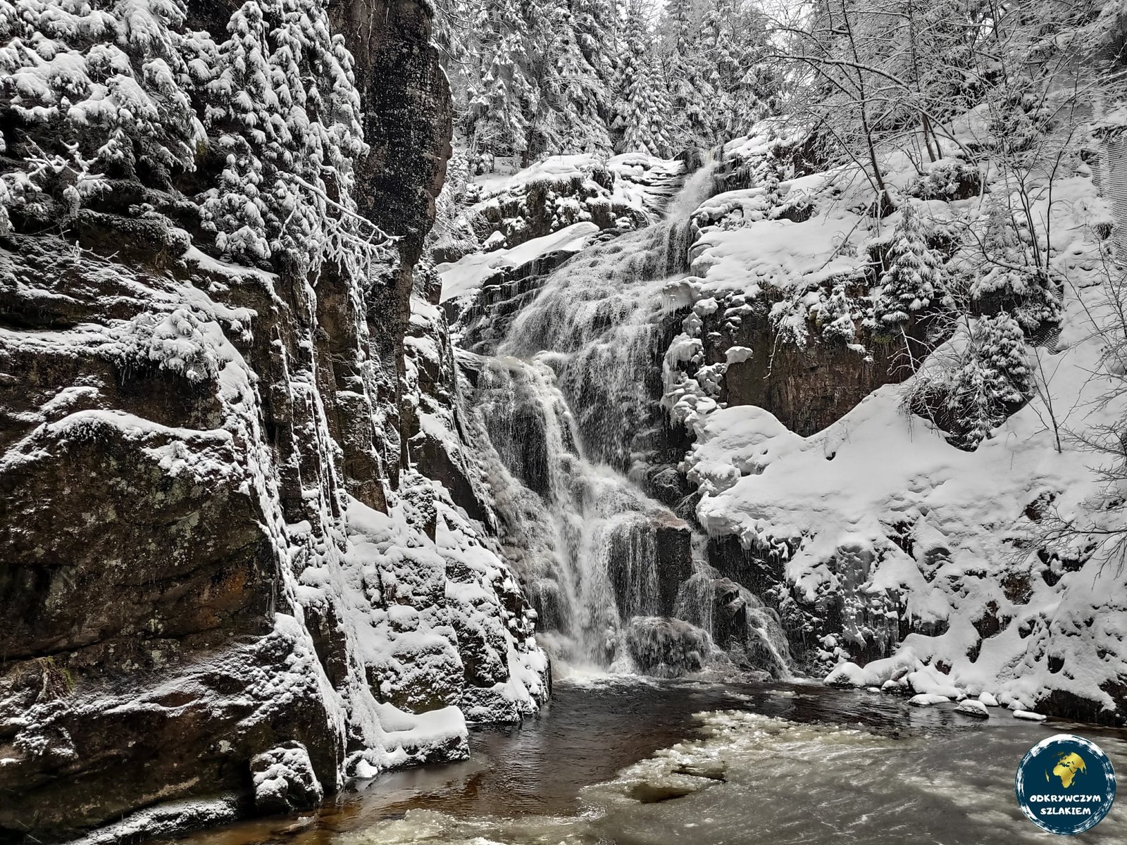
On the second day our goal was the Karkonosze Pass (Przełęcz Karkonoska) – about 18 km. From Szklarska Poręba the trail enters the Karkonosze National Park and passes Kamieńczyk Waterfall. At 27 m it is the highest waterfall in the Polish Sudetes, and in winter its cascades are partly frozen. Then the trail climbs via Hala Szrenicka to Szrenica (1362 m), with a hut on the summit.
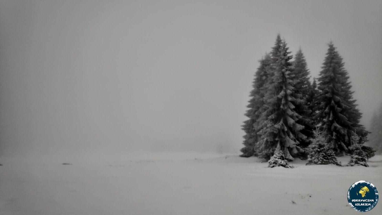
Up to Hala Szrenicka the walking was fine, but beyond Szrenica a snowstorm with strong wind began and visibility dropped almost to zero. Roughly level with Twarożnik we turned back and spent the night in the hut on Szrenica. That day we covered only 9 km, and the temperature fell to −8 °C (with the wind it felt twice as cold).
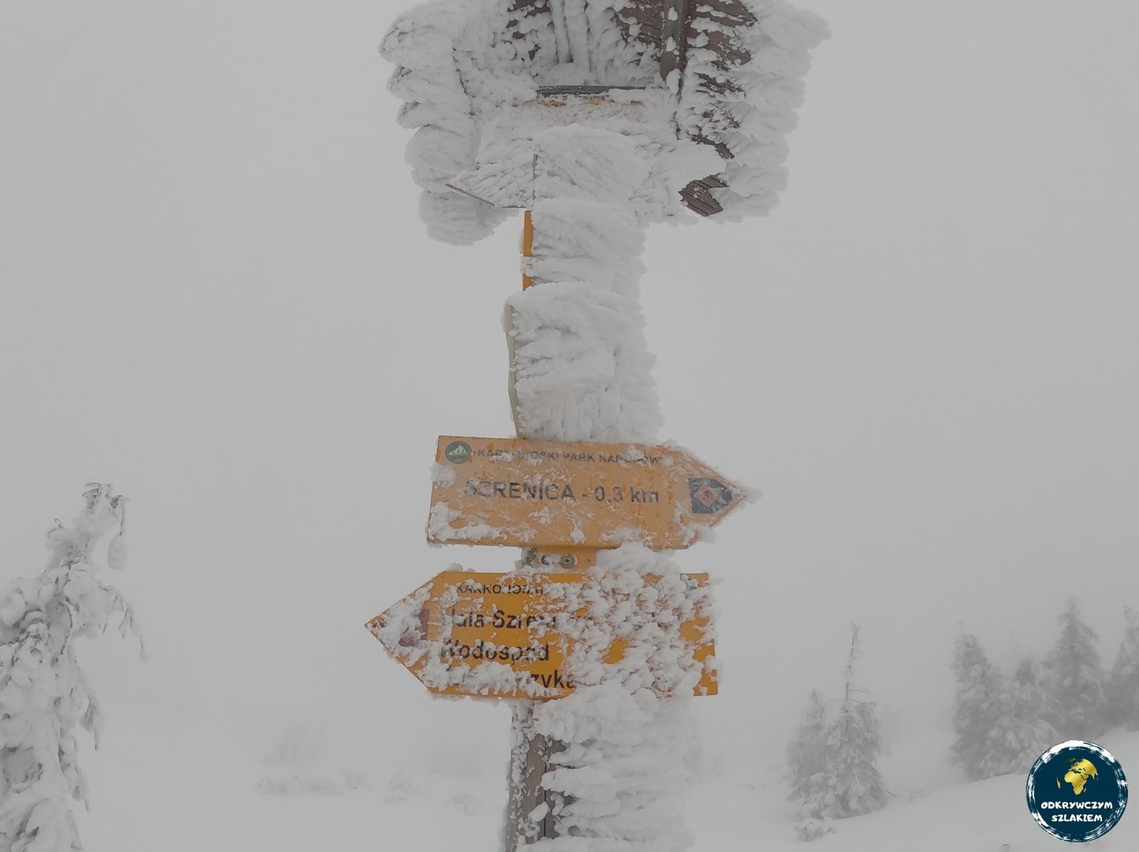
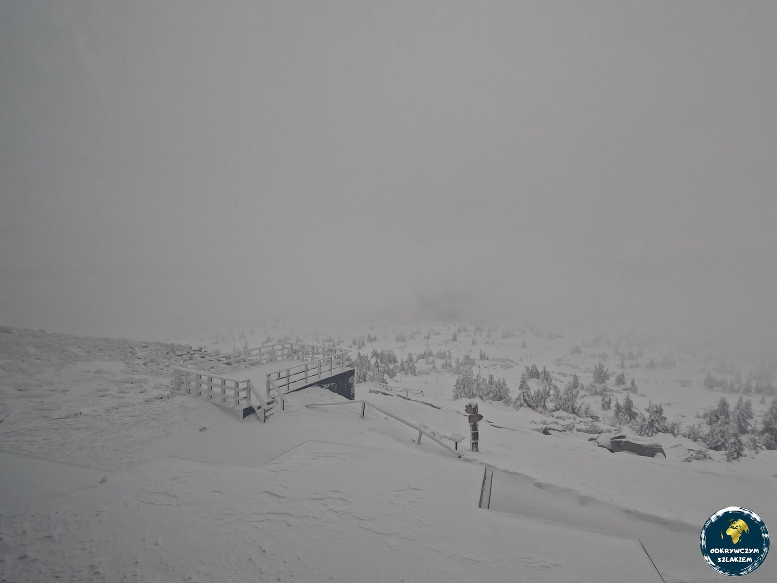
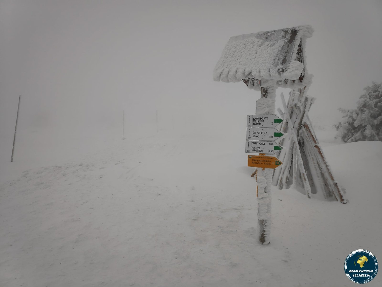
On the third day we walked a bit more of the red trail – along the border, partly on the Czech side – to the Mokra Przełęcz pass. There we left the GSS and returned to Szklarska Poręba on the green and then the yellow trail, past the hut below Łabski Szczyt (10 km). The winter stage came to about 47 km, and Śnieżka had to wait until the following summer.
The Giant Mountains in summer: from Szklarska Poręba to the Karkonosze Pass (about 17 km)
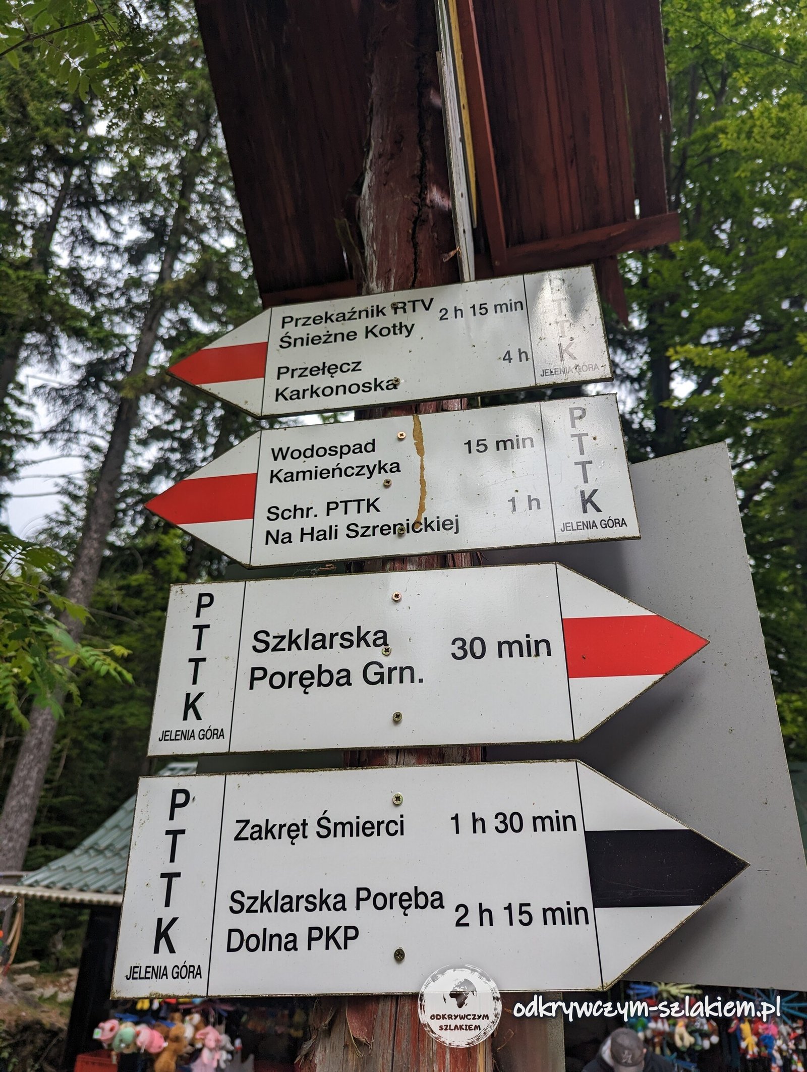
We started the second stage in June 2023, again in Szklarska Poręba, because in winter we had not got further than Mokra Przełęcz. A signpost by the trail shows what lies ahead that day: 15 minutes to Kamieńczyk Waterfall, an hour to the hut on Hala Szrenicka and 4 hours to the Karkonosze Pass.
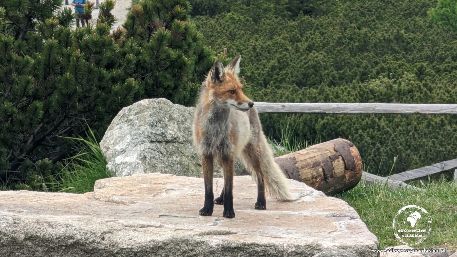
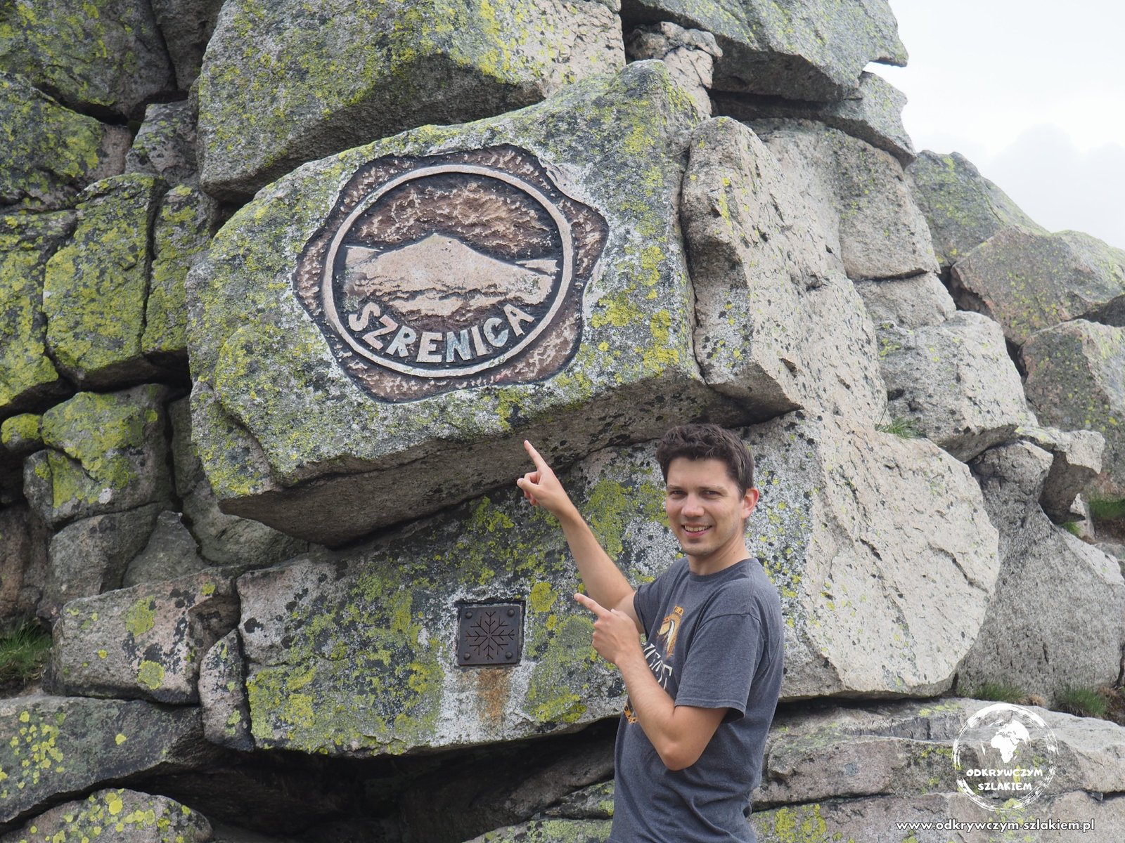
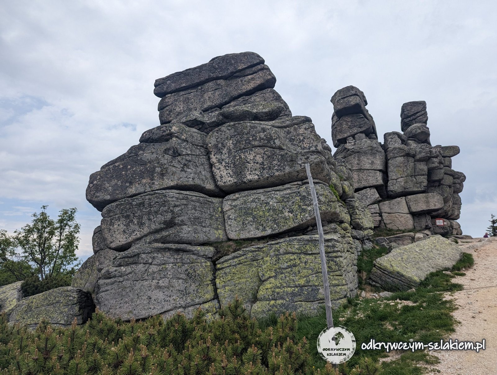
This time we reached Szrenica without any problems, and a fox was wandering around the hut on the summit. A few minutes further on the trail passes Trzy Świnki (Three Piglets) – granite tors which, according to legend, are pigs turned to stone by the mountain spirit Liczyrzepa (Rübezahl).
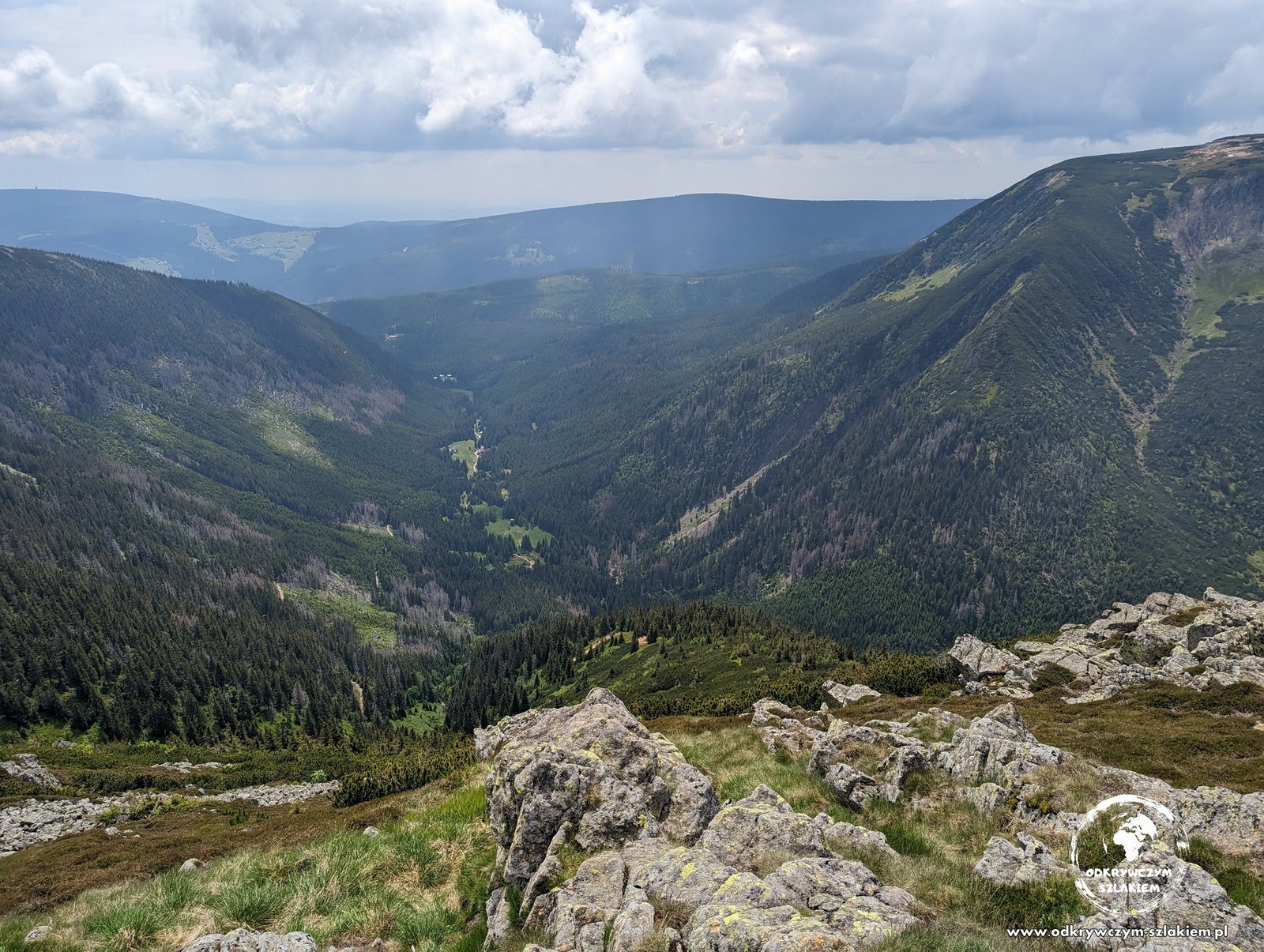
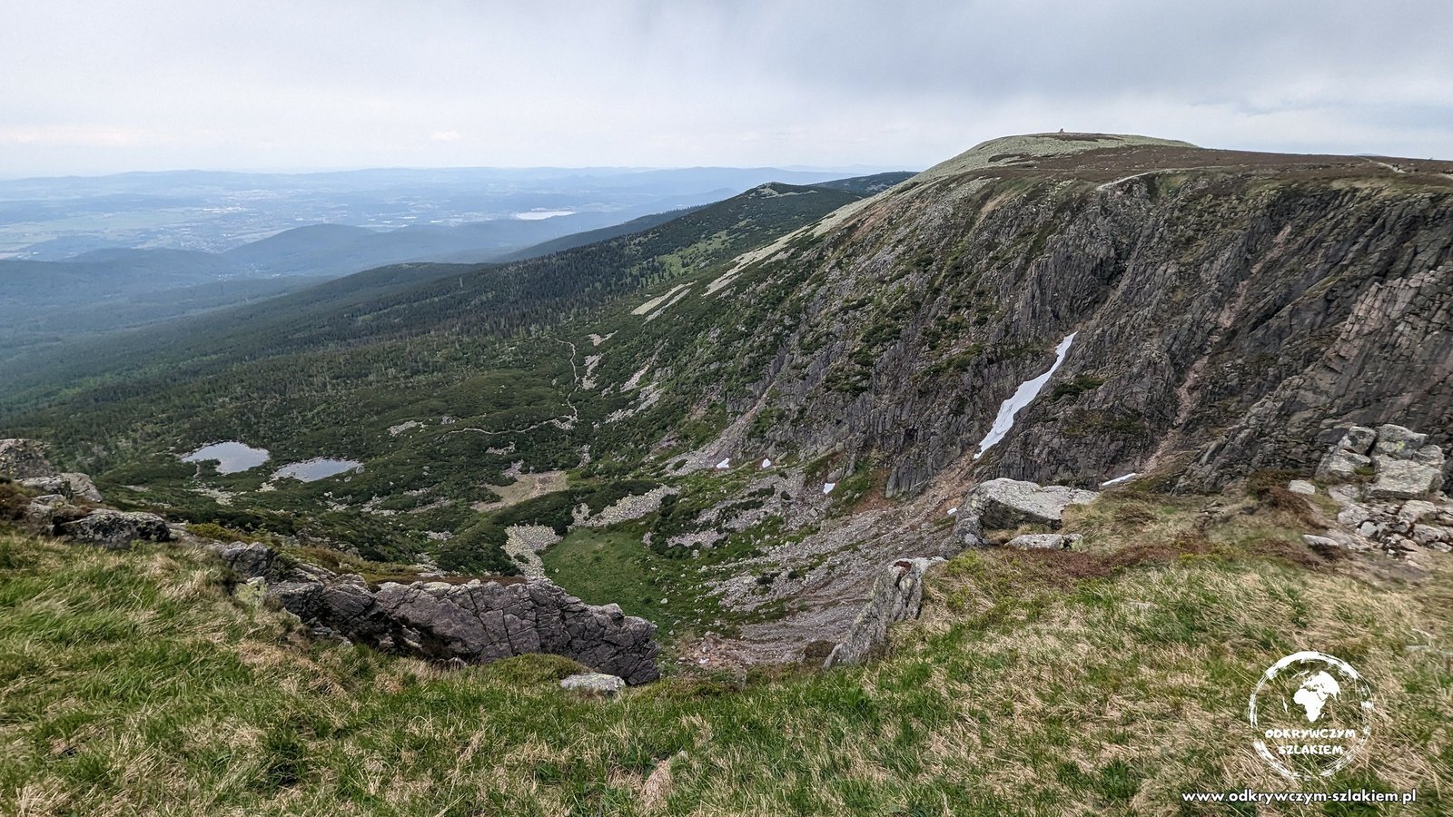
Then the GSS follows the broad ridge of the Giant Mountains along the Polish–Czech border – for about 20 km it runs together with the Polish–Czech Friendship Trail. The most beautiful part is the Snow Cirques (Śnieżne Kotły), glacial cirques whose walls drop more than 200 m.
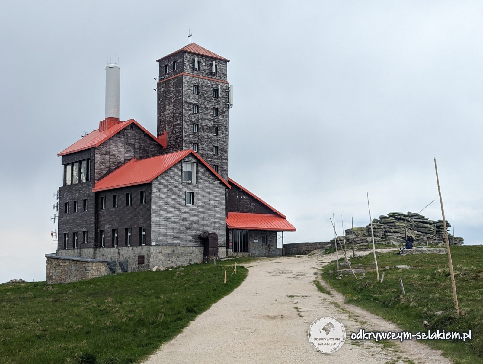
On the edge of the cirques stands a building with a stone tower – a former hut whose first version was built in 1837. It is considered the first real tourist hut in the Giant Mountains, and since 1961 it has housed a radio and TV relay station.
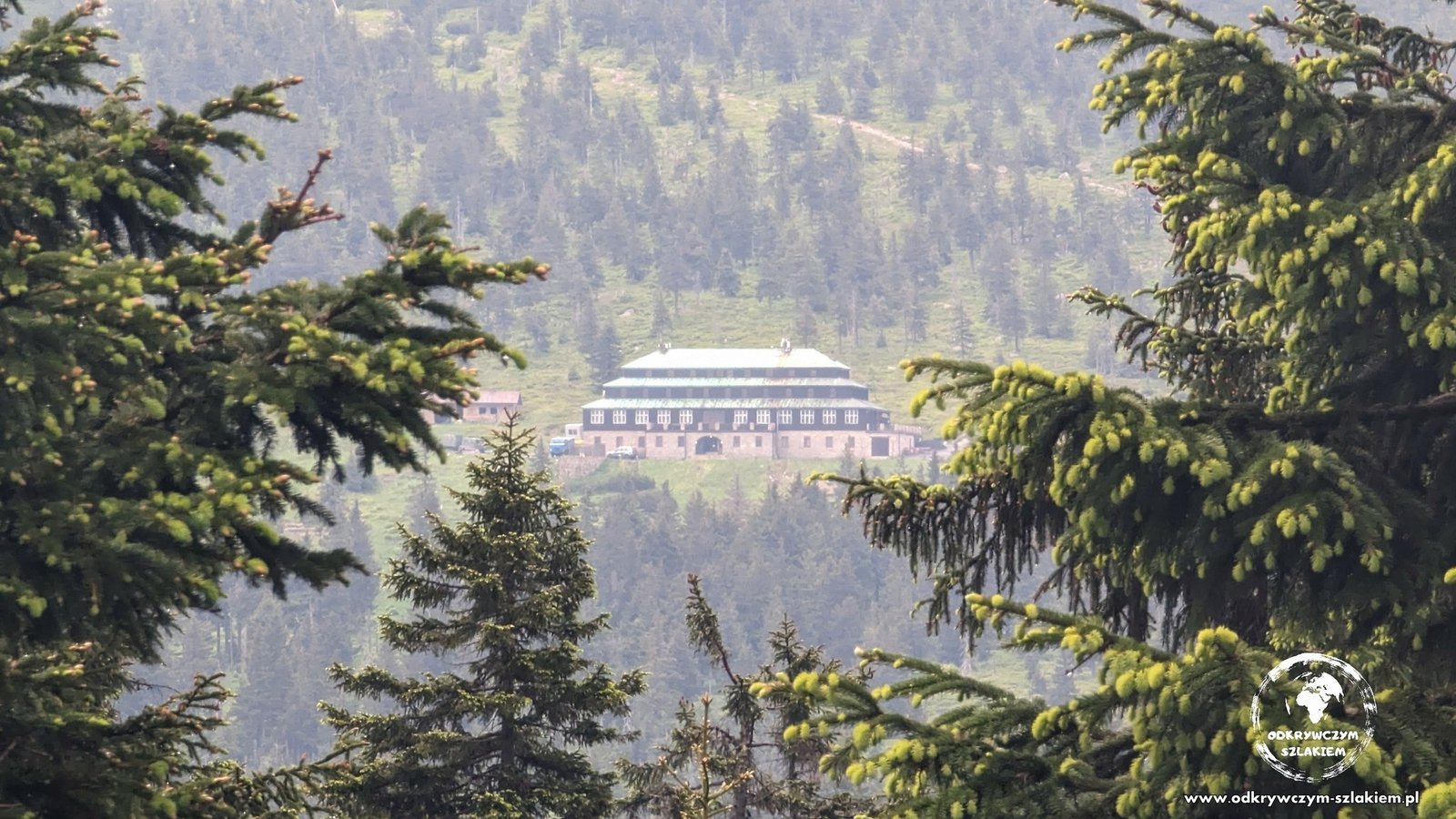
Beyond Wielki Szyszak the trail descends a rocky path to the Karkonosze Pass with the Odrodzenie hut, where we spent the night. That day was about 17 km long, with the most climbing of the whole route – about 1100 m. For part of the day we walked between two storm clouds, but the rain only started once we were sitting in the hut.
Śnieżka and the descent to Karpacz (about 16 km)
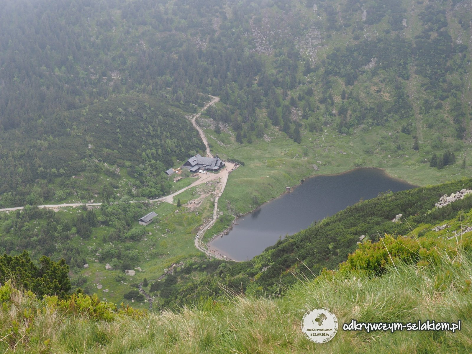
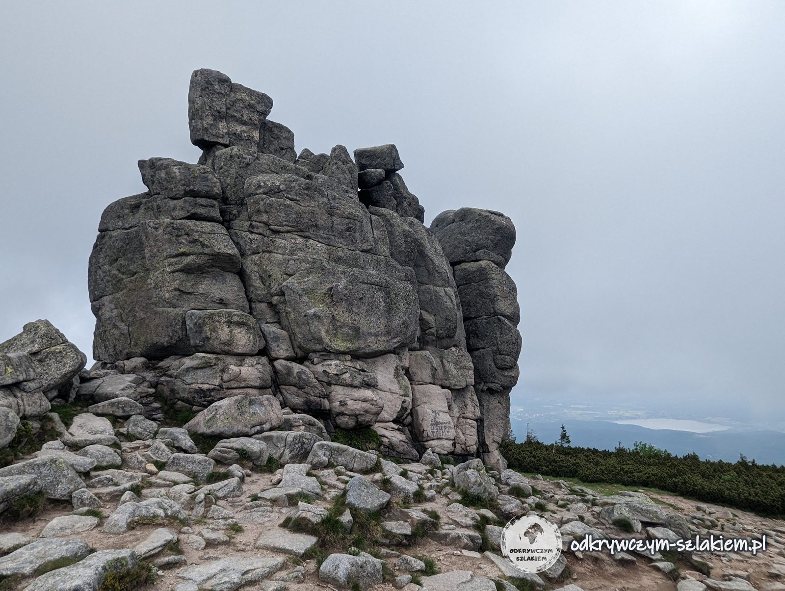
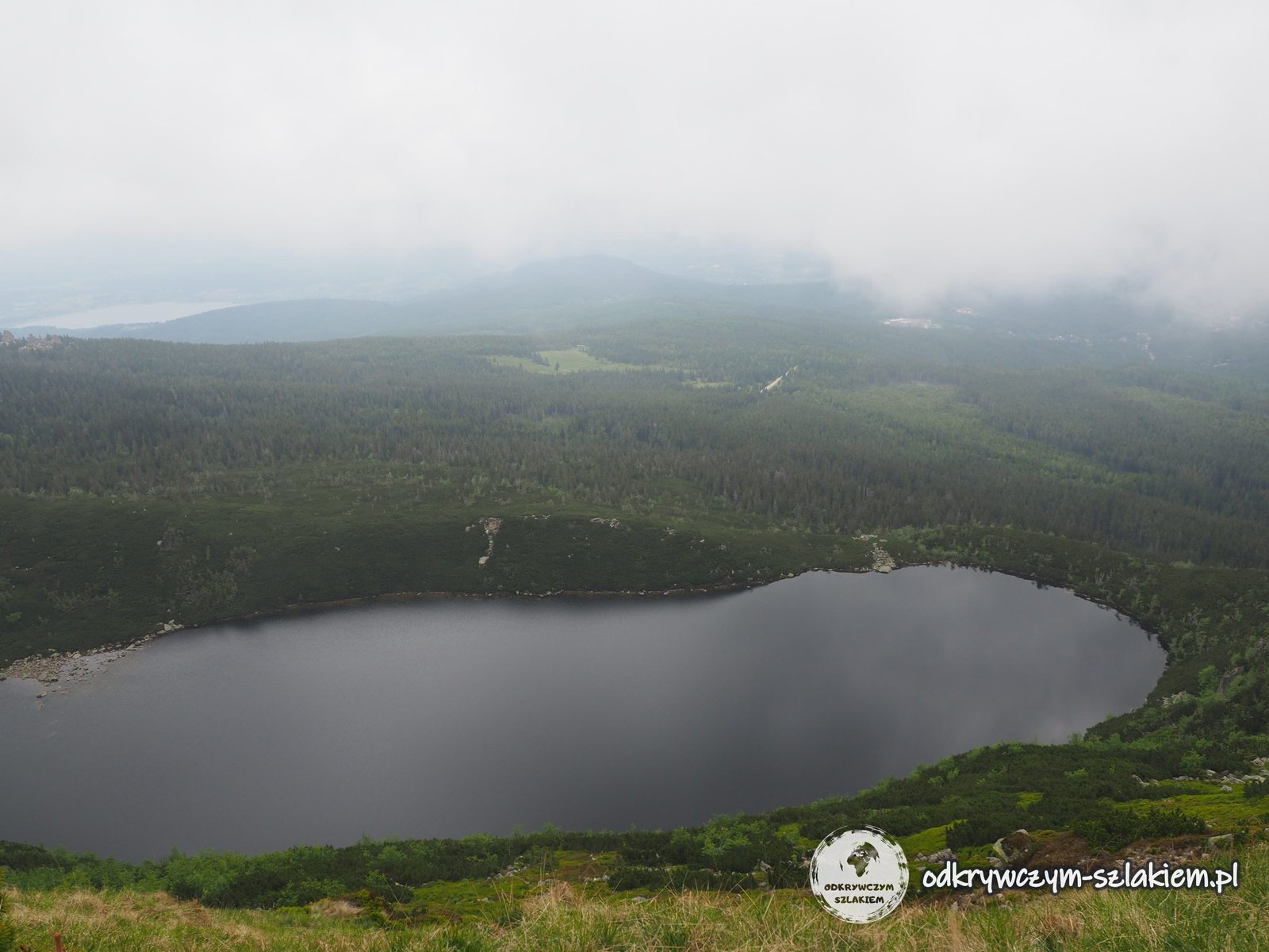
From the Karkonosze Pass the GSS keeps to the ridge – past Mały Szyszak and the granite rock Słonecznik (1423 m). That day we walked in thick fog, but from the edge of the cirques we could see the glacial lakes: Wielki Staw, the largest in the Giant Mountains, and Mały Staw with the Samotnia hut.
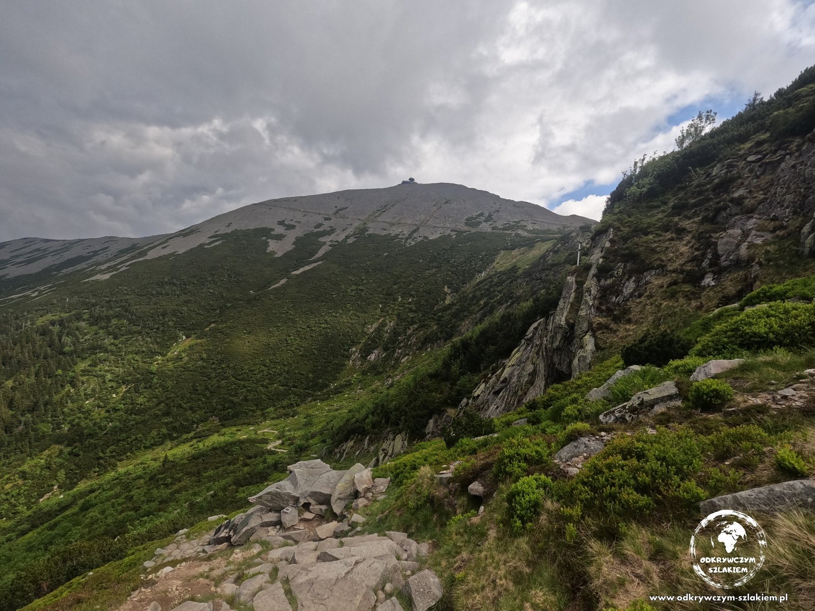
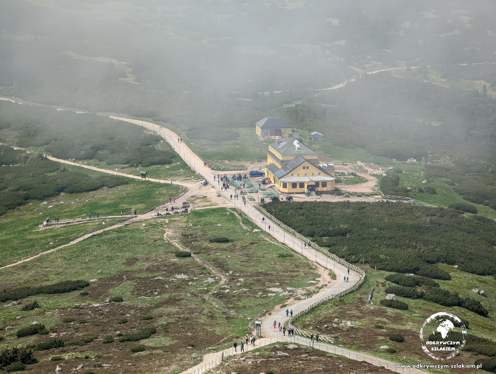
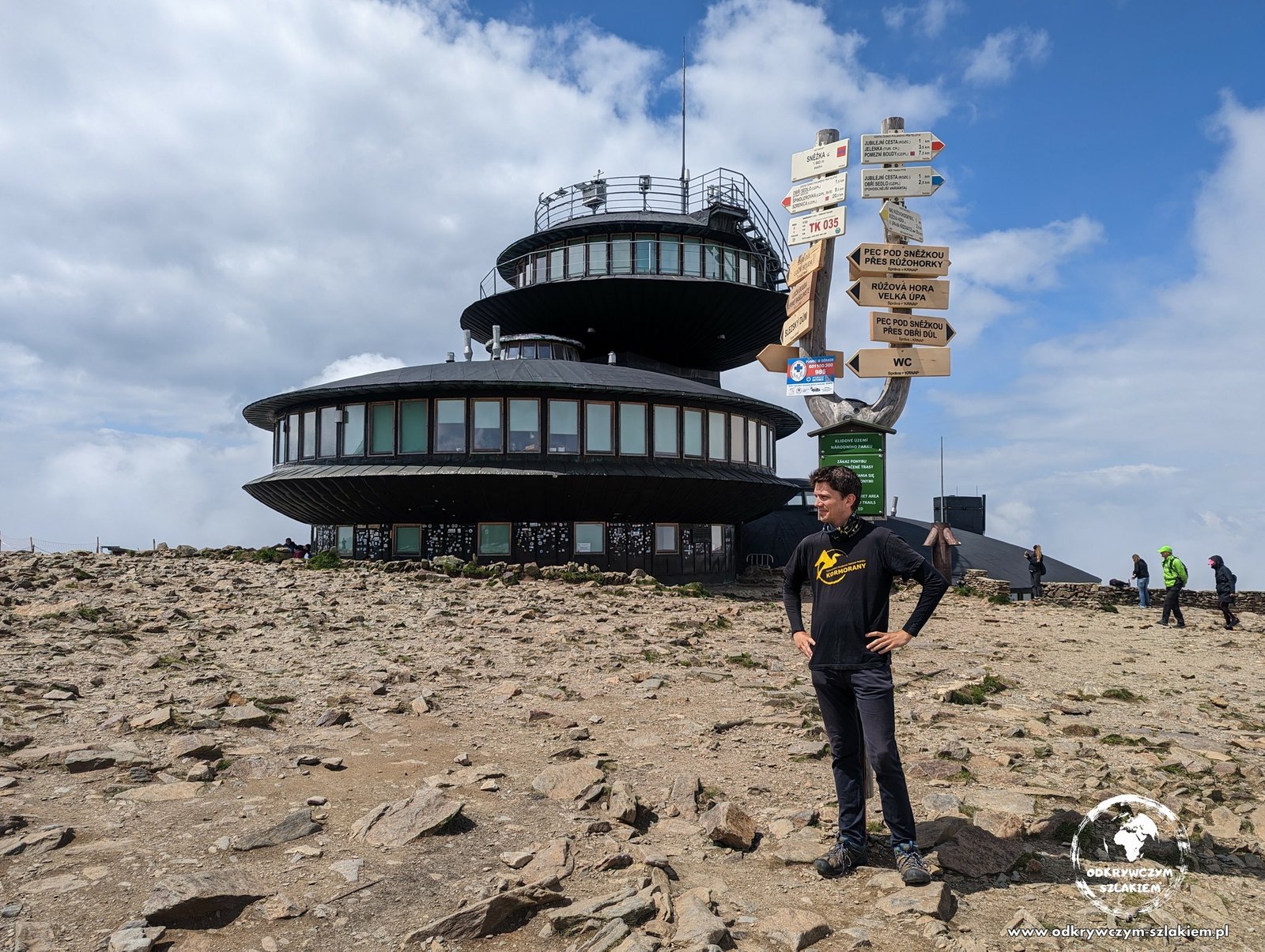
Below Śnieżka the trail reaches the Dom Śląski hut. The summit of Śnieżka (1603 m) itself – the highest peak of the Giant Mountains and of the whole Sudetes, and the second Crown of Polish Mountains peak on this route – lies a few hundred metres off the red trail, so you have to climb it separately. The fog lifted just as we stood by the observatory on the top.
From Dom Śląski the GSS descends through the Łomniczka cirque, past the Nad Łomniczką hut, to Karpacz. Including Śnieżka it came to about 16 km, and at the end we were caught by one of the heaviest downpours of the whole hike.
The Rudawy Janowickie: from Karpacz over Skalnik (about 32 km)
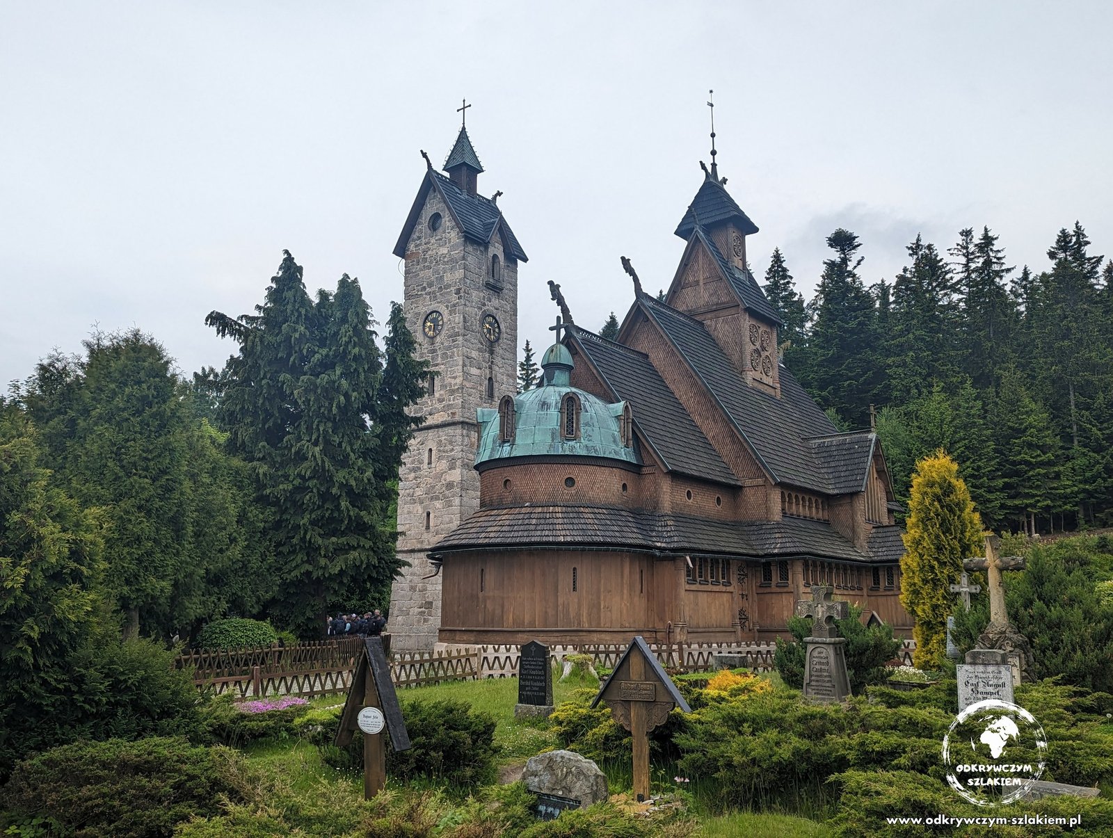
The third day of the summer stage was the longest – about 32 km from Karpacz to Leszczyniec. In Karpacz the trail passes the Wang church – a wooden stave church built at the turn of the 12th and 13th centuries in Norway and moved here in 1842 – and then runs through forests north of the town for a long time.
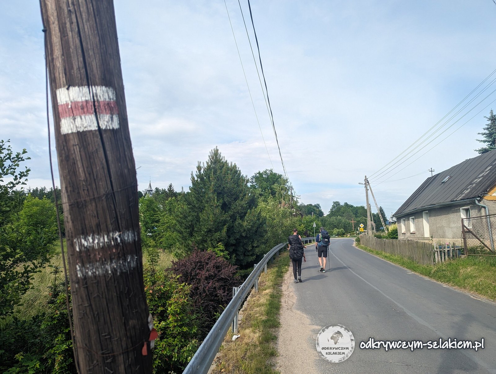
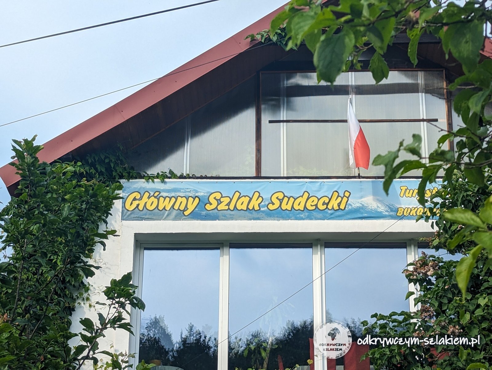
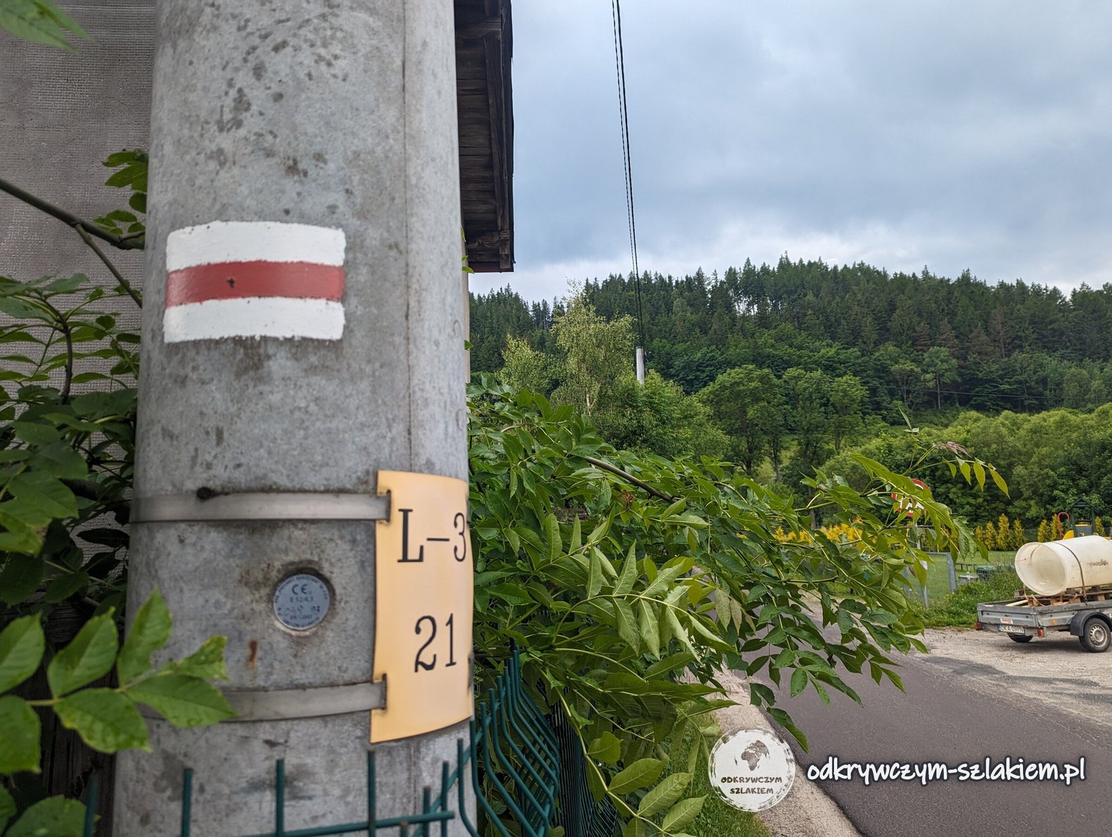
Between the Giant Mountains and the Rudawy Janowickie the GSS goes through villages of the Jelenia Góra Valley, such as Mysłakowice and Bukowiec. Part of the route follows asphalt roads here, and the markers are painted on poles. In Bukowiec one building even has a sign saying “Główny Szlak Sudecki”.
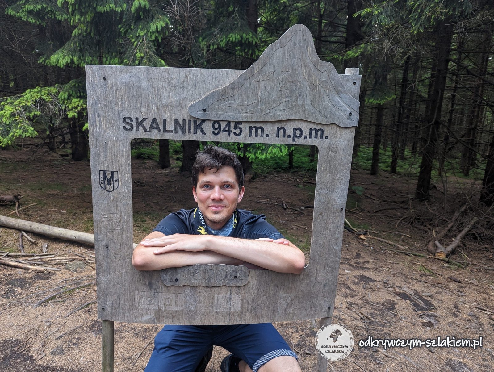
The highest peak of the Rudawy Janowickie, Skalnik (945 m), is the third Crown of Polish Mountains peak on the GSS. It has two tops: a wooded one with a sign and a wooden photo frame, and a rocky one – steps cut into the rock lead up to Ostra Mała, where a viewing platform was built as early as 1886. After Skalnik we went down to Leszczyniec for the night.
Lubawka, a detour to Adršpach and the finish in Wałbrzych
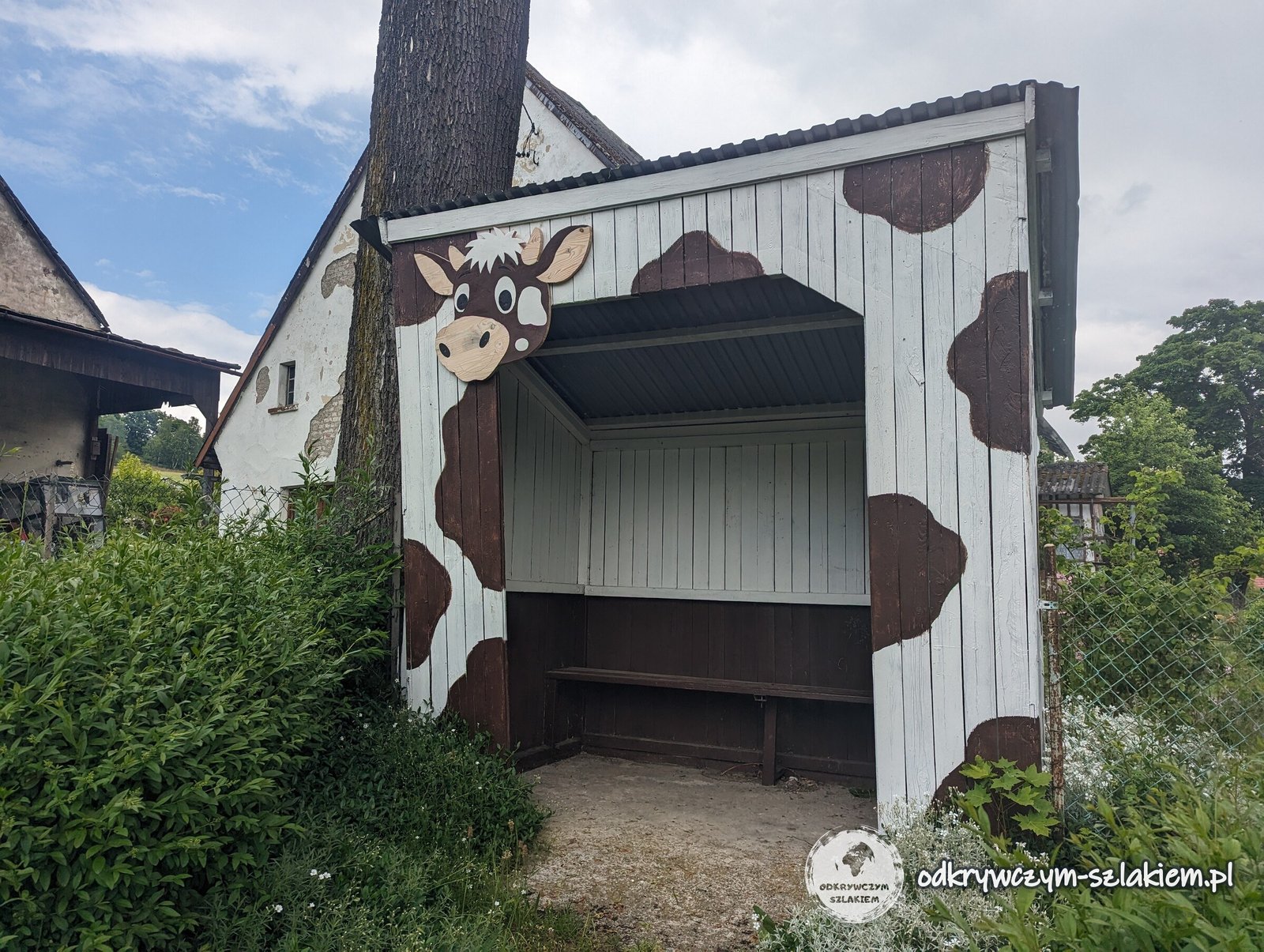
From Leszczyniec the trail leads through Szarocin and Stara Białka to Lubawka – about 15 km of fields and villages without any big climbs. In Stara Białka there is a bus shelter painted with cow patches, and real cows were grazing nearby.
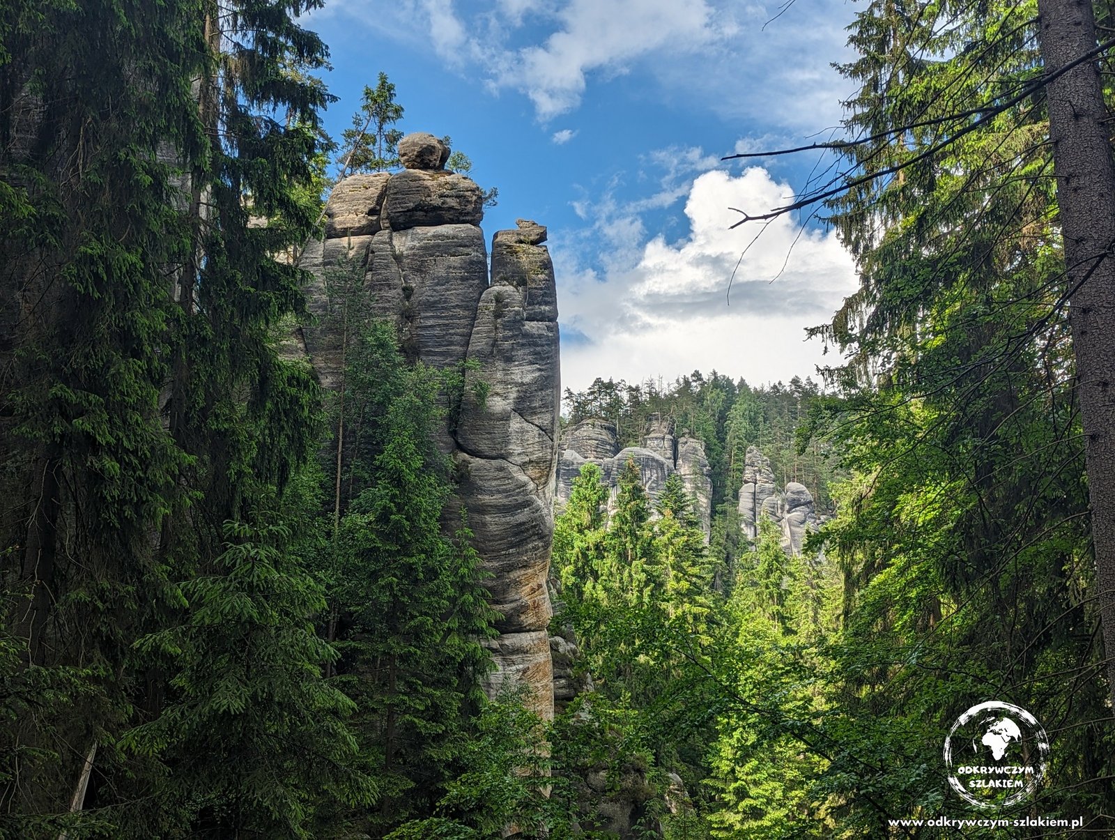
In Lubawka we left the red trail: via Chełmsko Śląskie and across the border we made our way to the Adršpach Rock Town on the Czech side, where we spent two nights – more about it in the report from the summer stage. We rejoined the GSS in Sokołowsko.
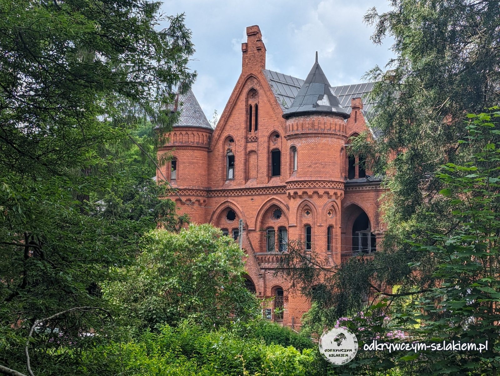
Sokołowsko is a former spa – in 1855 Dr Hermann Brehmer opened the world’s first specialised sanatorium for tuberculosis patients here. Beyond the village the GSS turns east towards the Andrzejówka hut, while we walked straight “to Wałbrzych” via Unisław Śląski.
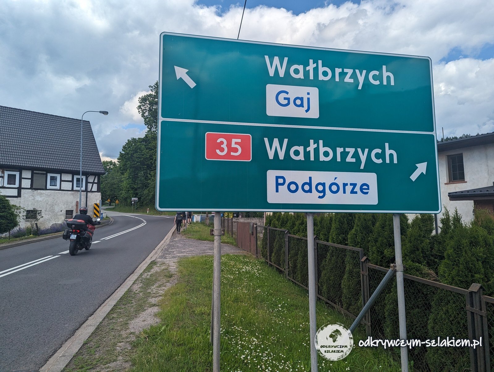
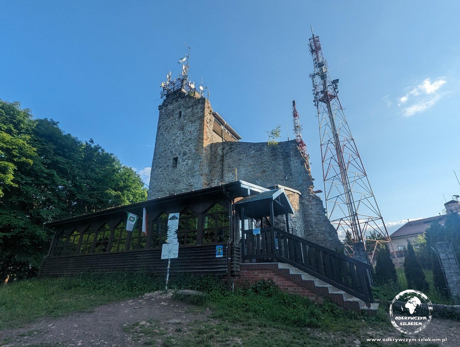
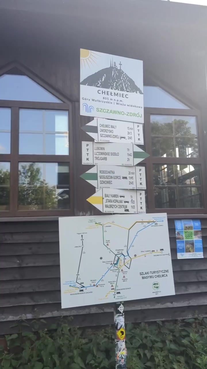
The last peak was Chełmiec (850 m) in the Wałbrzych Mountains, with a stone lookout tower above the city – the fourth Crown of Polish Mountains peak of the whole route, although it lies off the GSS. From Chełmiec we descended to Wałbrzych, where the second stage ended: 6 days and about 135 km.
What is left: from Wałbrzych to Prudnik
There are about 310 km left for me to the end of the Main Sudetes Trail – more than two thirds of it, from Sokołowsko to Prudnik.
Beyond Sokołowsko the trail leads past the Andrzejówka hut below Waligóra in the Stone Mountains to Jedlina-Zdrój, and then along the main ridge of the Owl Mountains (Góry Sowie) to Wielka Sowa (1015 m). Via the Srebrna Pass it leads to Wambierzyce and enters the Table Mountains (Góry Stołowe), past the Rock Mushrooms, Szczeliniec Wielki and the Errant Rocks. Then, via Kudowa-Zdrój and Duszniki-Zdrój, it reaches the Orlické and Bystrzyckie Mountains, and then the Śnieżnik Massif with Międzygórze and the Na Śnieżniku hut. The last part is Lądek-Zdrój, the Golden Mountains with Złoty Stok, Paczków, Głuchołazy and the Opawskie Mountains, from where the trail descends to Prudnik.

Right on the trail lie two more Crown of Polish Mountains peaks – Wielka Sowa and Biskupia Kopa – and not far from it are Waligóra, Szczeliniec Wielki, Orlica, Jagodna and Śnieżnik, among others. I have gathered my ascents so far and the whole list of 28 peaks in the post My Crown of Polish Mountains.
Wałbrzych itself lies a few kilometres from the red trail, which bypasses the city to the south, via Andrzejówka and Jedlina-Zdrój. At some unspecified point in the future I will carry on from right here – from Wałbrzych.
Practical information
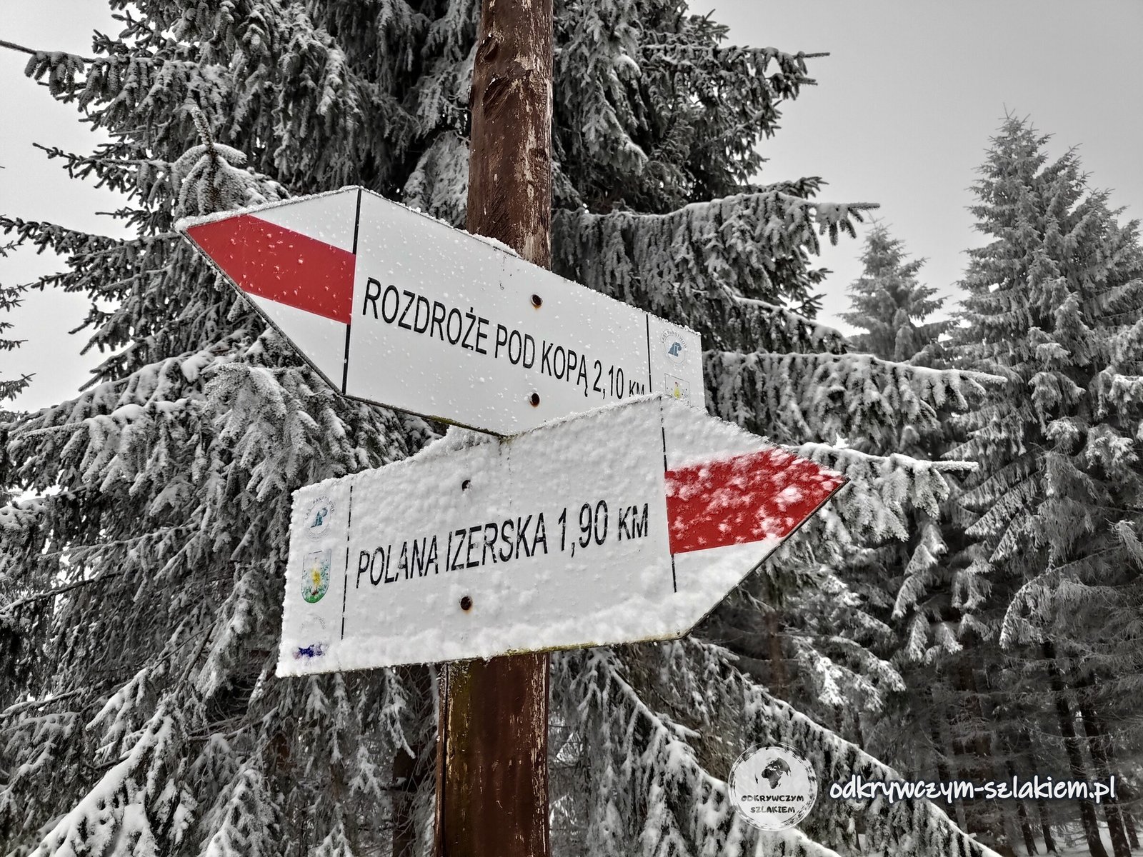
- Waymarking: red – a red stripe between two white ones. The start and end of the trail are marked with a red circle on a white background. PTTK signposts give walking times, and some of them also distances in kilometres.
- Length and time: about 440 km (Waldemar Brygier’s guidebook: 443 km and about 120 hours of walking). At 20–25 km a day with a full pack, the whole trail takes about three weeks, and the section from Świeradów-Zdrój to Sokołowsko (about 130 km) about six days.
- Getting there and back: since December 2023 Koleje Dolnośląskie trains run to Świeradów-Zdrój again (about 20 minutes from Gryfów Śląski), and there are also buses from Jelenia Góra. Convenient places to split the route into stages are Szklarska Poręba (Szklarska Poręba Górna station) and, further east, Jedlina-Zdrój, with its railway station by the trail. The trail ends at the railway station in Prudnik.
- Accommodation: on the western part of the trail there are huts on Stóg Izerski, Wysoki Kamień, Hala Szrenicka and Szrenica, the Odrodzenie hut at the Karkonosze Pass and Dom Śląski below Śnieżka, among others; in Szklarska Poręba, Karpacz and the villages below the Rudawy Janowickie there are guesthouses and apartments. In winter some huts may be closed – it is worth checking before you go.
- Season: on the ridges of the Jizera and Giant Mountains winter can last into April – at the end of March there can be knee-deep snow, fog and frost. In summer you have to reckon with storms and fog on the Giant Mountains ridge.
- Fees: entry to the Karkonosze National Park is paid – the current price list is on the park’s website (kpn.gov.pl).
- Badge: walking the GSS earns you the Main Sudetes Trail badge. Only two places in Poland verify it: the PTTK Central Mountain Tourism Centre in Kraków and the PTTK branch in Jelenia Góra (as of 2026).
- Crown of Polish Mountains: on the Świeradów-Zdrój – Wałbrzych section you can collect stamps from Wysoka Kopa, Śnieżka and Skalnik, and after a detour off the trail also from Chełmiec.
Photo gallery