Steglitz and Lichterfelde lie in the south-west of Berlin, in the Steglitz-Zehlendorf borough, far from the sights of the centre. Until 1990 they belonged to West Berlin, and the border with the GDR ran along the southern edge of Lichterfelde. In this post I have collected places I photographed here between 2019 and 2021: the Bierpinsel tower above the Schloßstraße, the Stadtpark Steglitz, the hill from which Otto Lilienthal launched his gliders, an avenue of Japanese cherry trees on the former border, and Lichterfelde Ost station and the Teltow Canal.
Table of contents
- Steglitz – the Bierpinsel, the Schloßstraße and the Stadtpark
- Lilienthal’s hill (Fliegeberg)
- On the city limits – the cherry avenue on the Mauerweg
- Lichterfelde Ost and the Teltow Canal
- Practical information
Steglitz – the Bierpinsel, the Schloßstraße and the Stadtpark
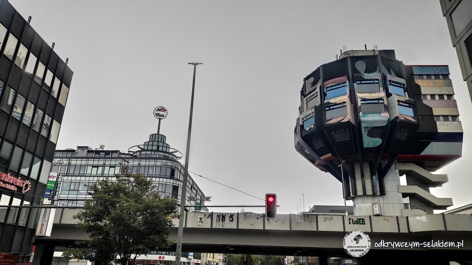
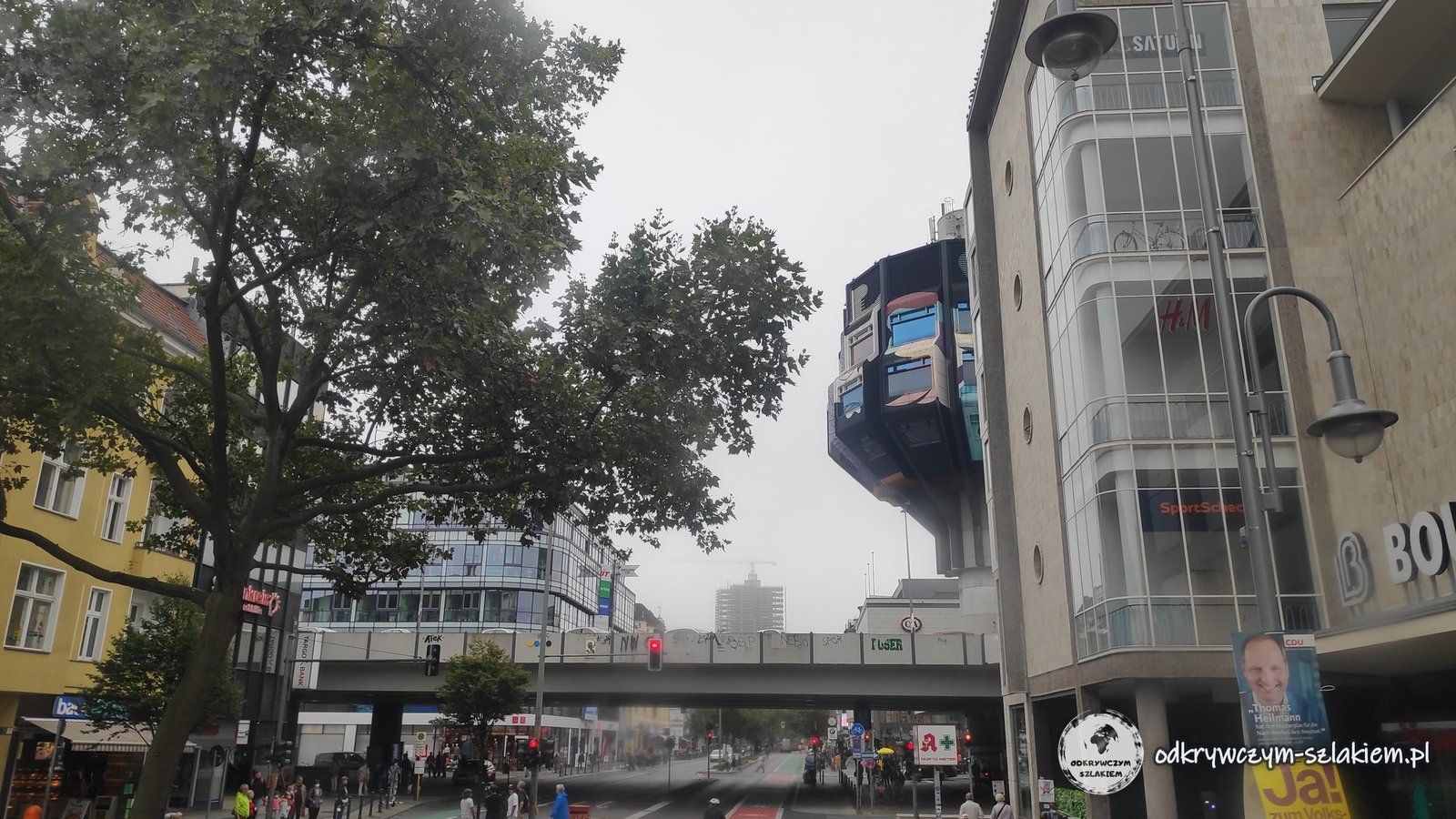
The Schloßstraße in Steglitz is one of Berlin’s main shopping streets, with several large shopping centres. In its northern part, above a road flyover and the U9 Schloßstraße U-Bahn station, stands the Bierpinsel – a 46-metre tower from 1972–1976, built in pop-art style. Its nickname means “beer brush”. The façade is covered in colourful paintings. There were restaurants in the tower until 2006; after that the building stood empty for a long time. I was here on a cloudy morning on 4 September 2021.
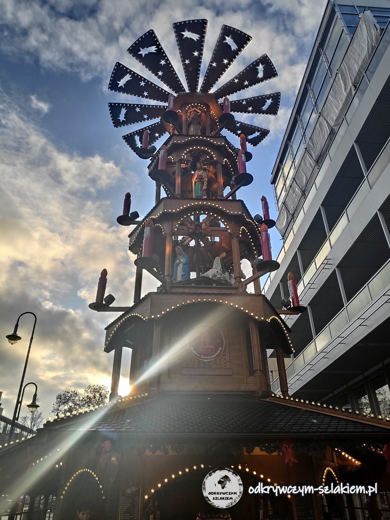
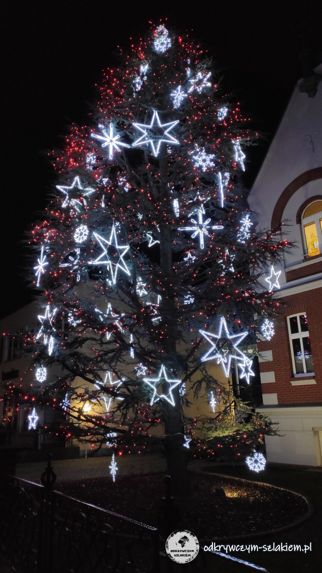
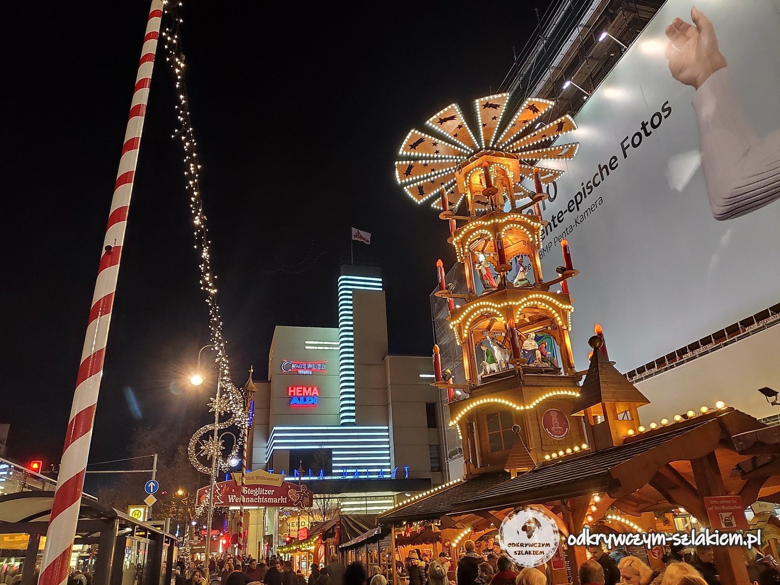
Before Christmas a market with a tall wooden Christmas pyramid was held at the northern end of the Schloßstraße, on Walther-Schreiber-Platz. The photo is from 20 December 2019; I show the 2021 market in the post Berlin: Christmas markets.
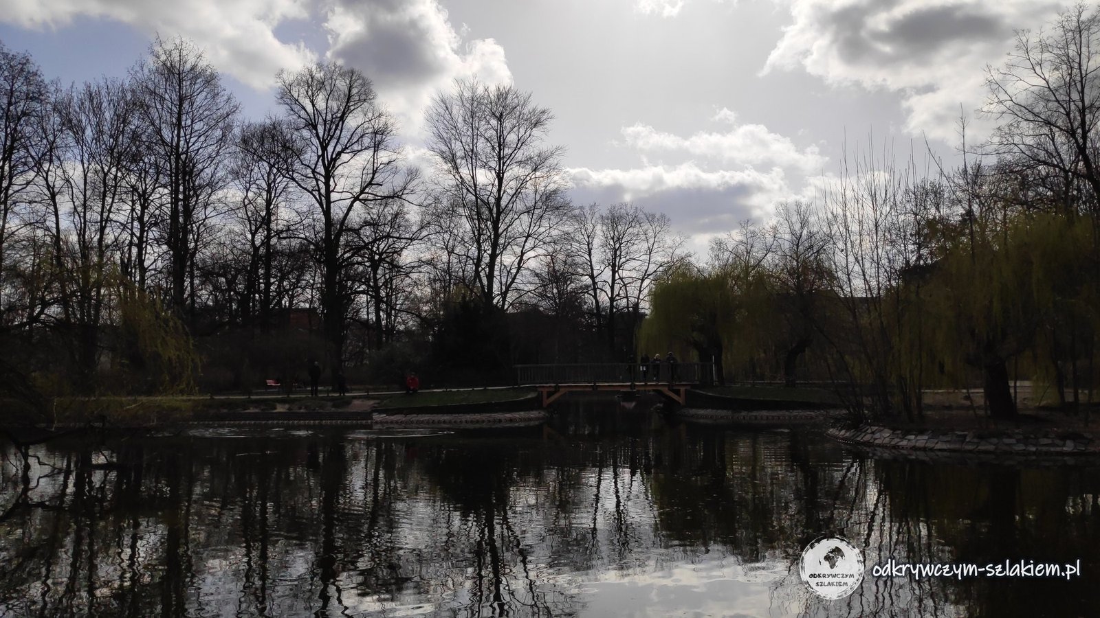
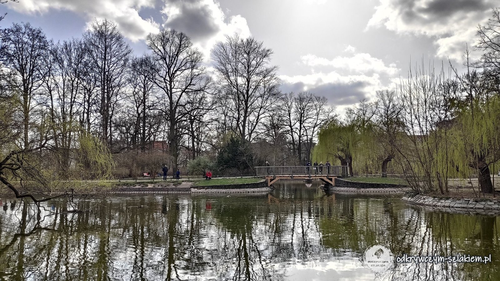
About 1.5 km south-east of the Bierpinsel lies the Stadtpark Steglitz – a city park with a large pond, weeping willows and a small bridge. I was here at the beginning of April 2021, when the first leaves were appearing on the willows.
Lilienthal’s hill (Fliegeberg)
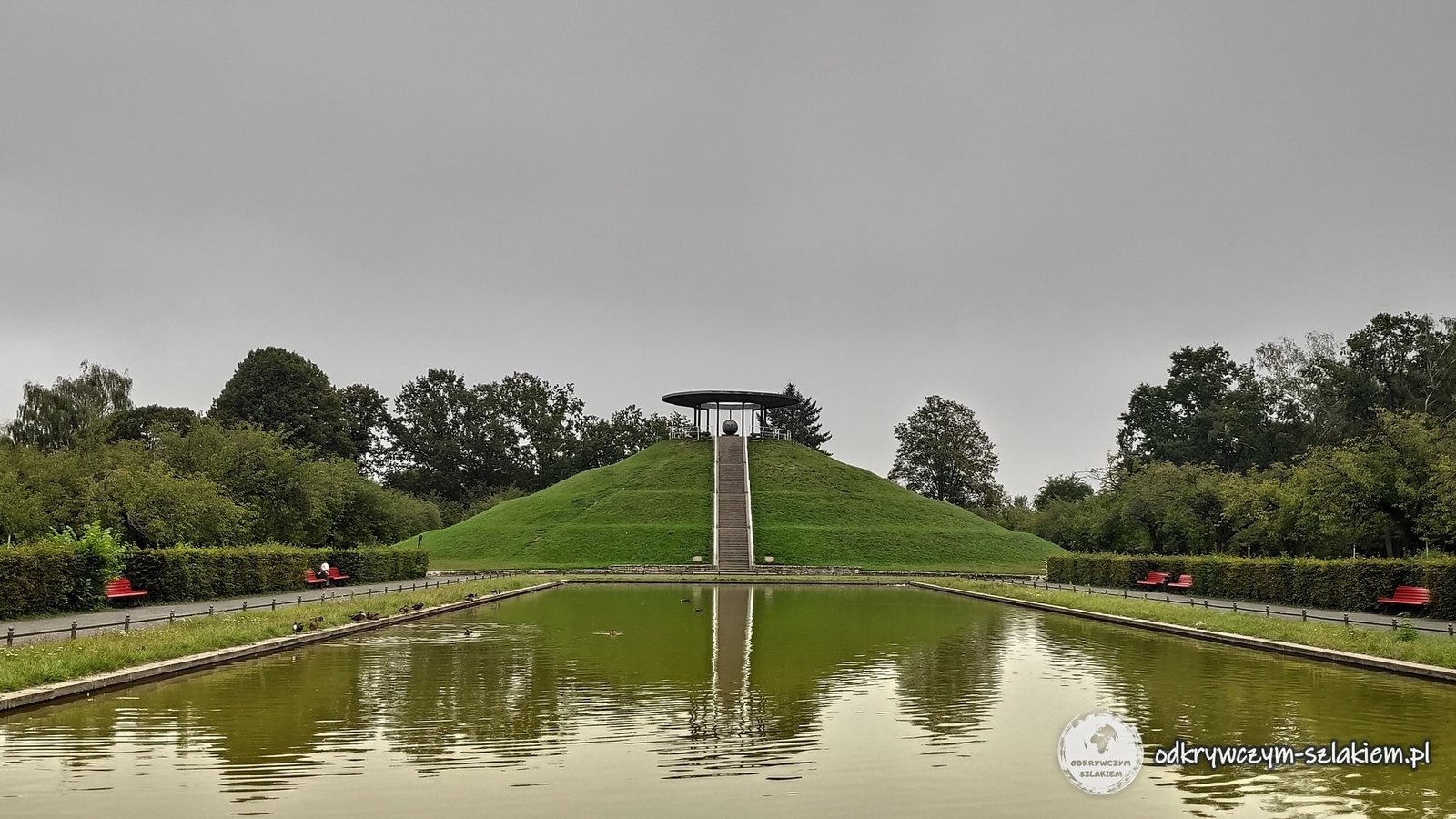
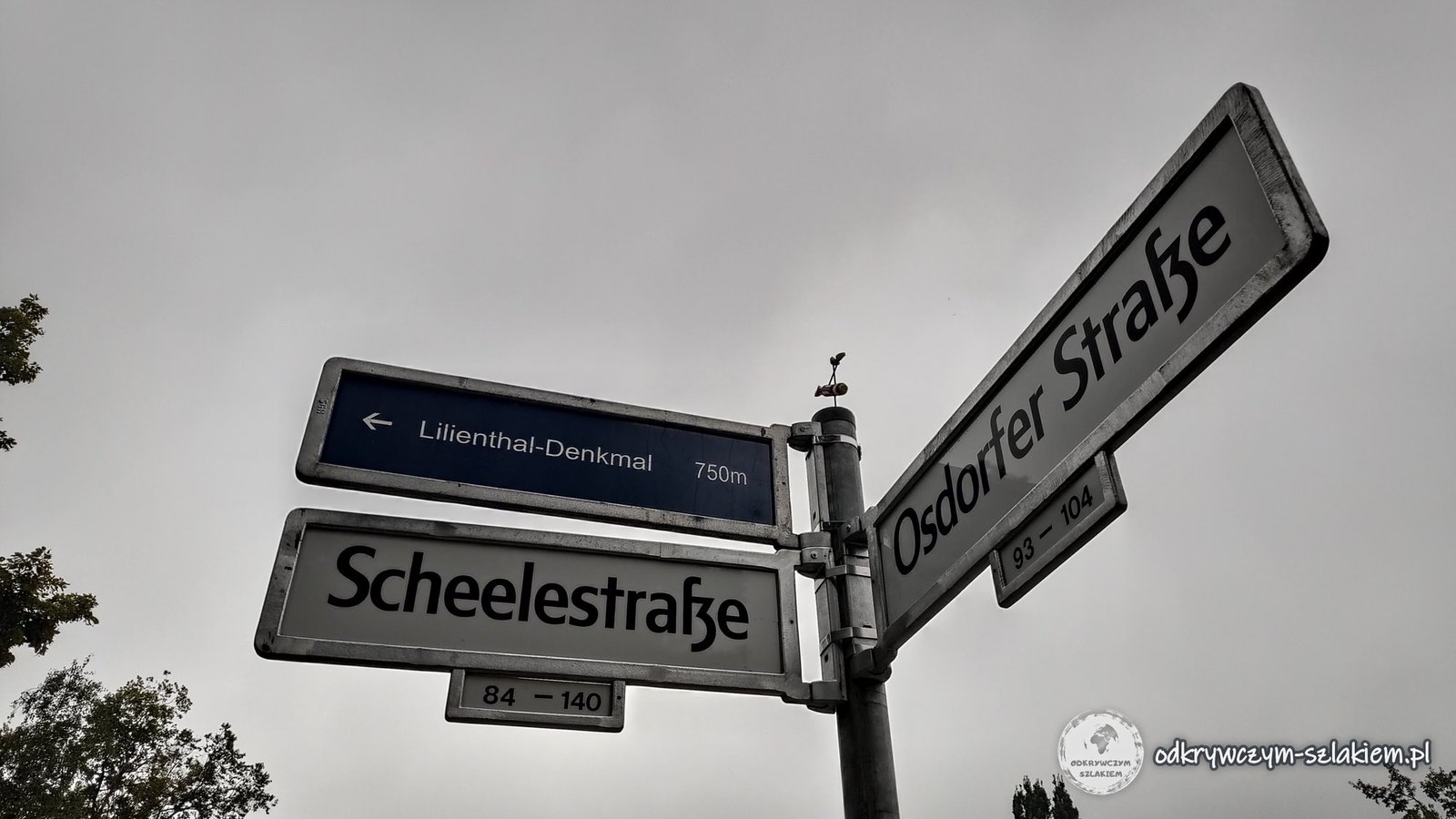
Otto Lilienthal (1848–1896) was an aviation pioneer – one of the first people to fly repeatedly in gliders he had built himself, making more than 2,000 flights. In 1894 he had an artificial hill, the Fliegeberg, heaped up in Lichterfelde, from which he could take off whatever the wind direction. On the corner of Scheelestraße and Osdorfer Straße there is a signpost reading “Lilienthal-Denkmal 750 m”.
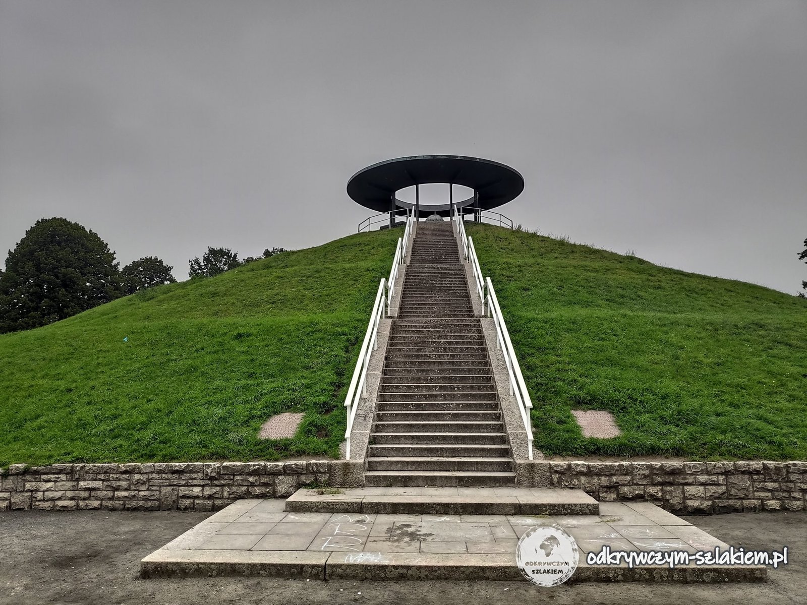
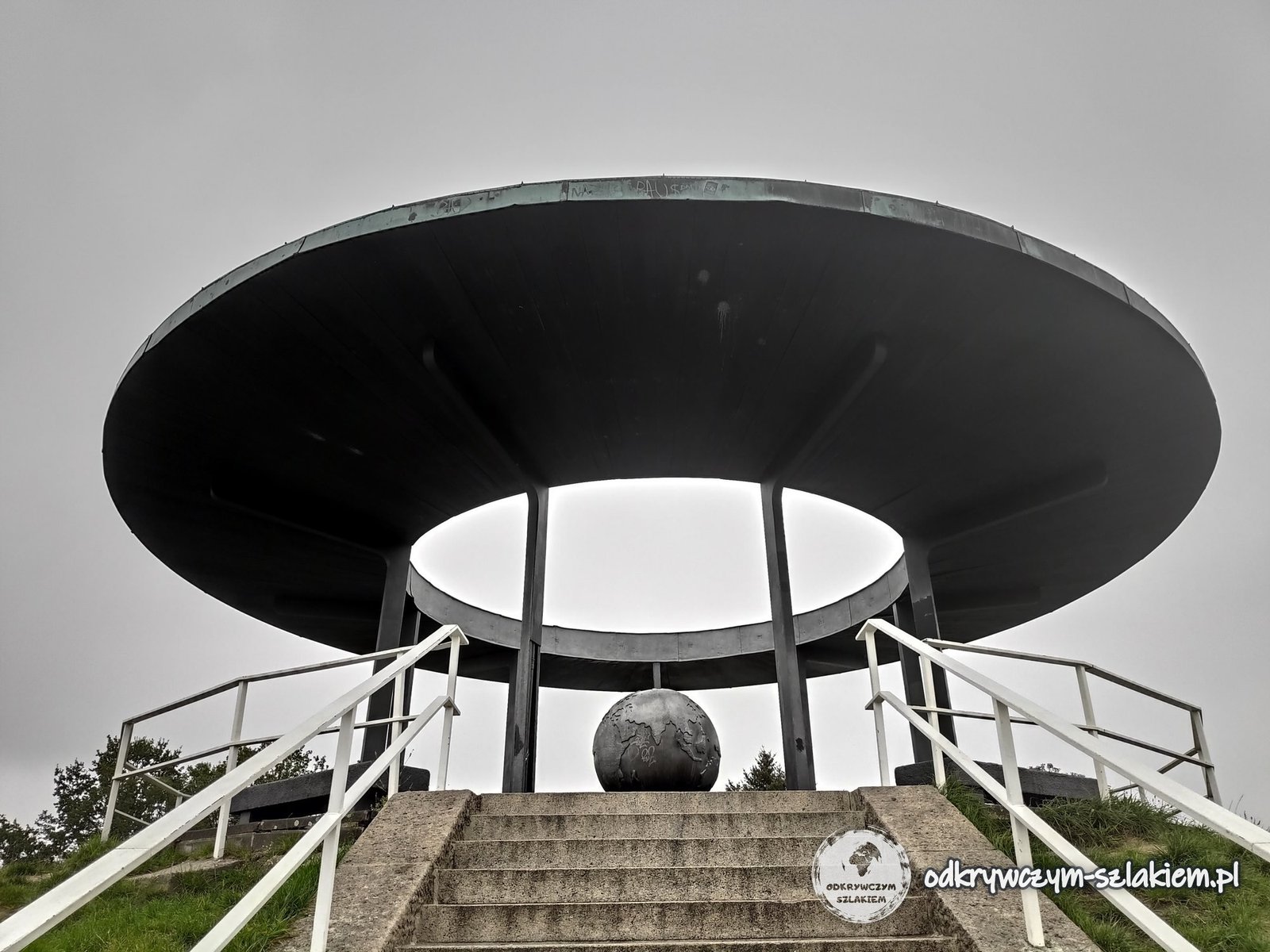
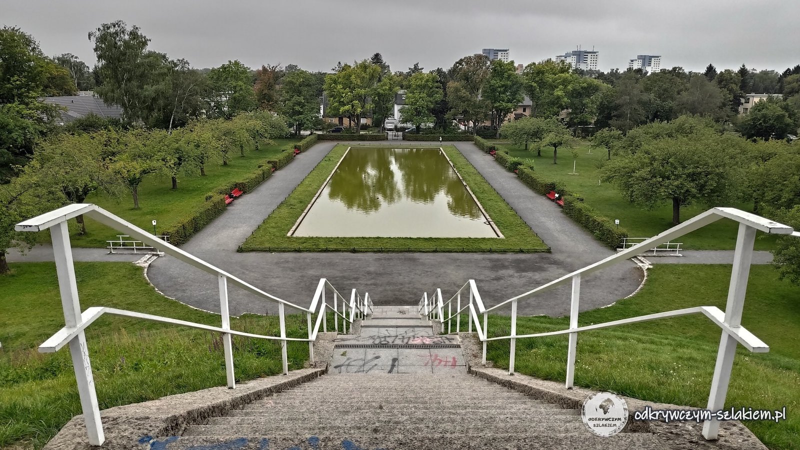
The hill is about 15 metres high. In 1932 a memorial was laid out on it: straight steps lead to the top, where a round canopy stands on columns. Beneath it is a metal globe with the inscription “OTTO LILIENTHAL 1848–1896”. At the foot of the hill there is a rectangular pond.
Lilienthal died in 1896 after his glider crashed on the Gollenberg hills near Stölln in Brandenburg. Tegel Airport was named after him – I write about it in the post North Berlin.
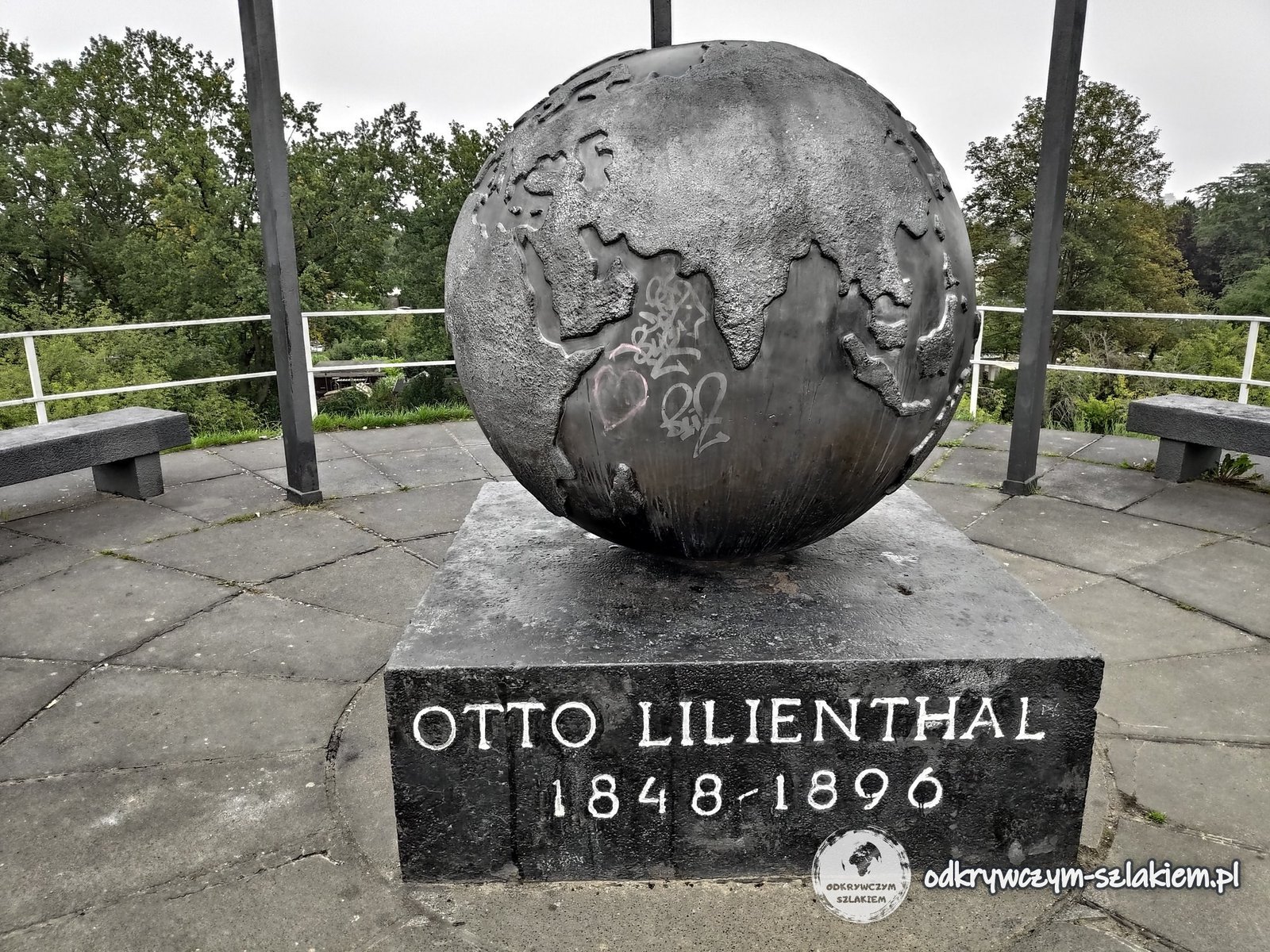
I was here on 4 September 2021, in the late morning. From the top you can see the pond, the trees around it and tall blocks of flats in the distance.
On the city limits – the cherry avenue on the Mauerweg
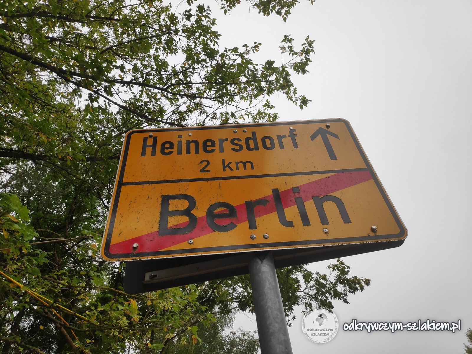
About a kilometre south of the hill there is a yellow end-of-Berlin sign with an arrow pointing to Heinersdorf (2 km) – beyond it, Brandenburg begins. Until 1989 the border between West Berlin and the GDR ran here, and the Wall stood along it.
The Berliner Mauerweg trail follows the former border – it is about 160 km long and circles the whole of former West Berlin. I walked along it through the woods towards Teltow.
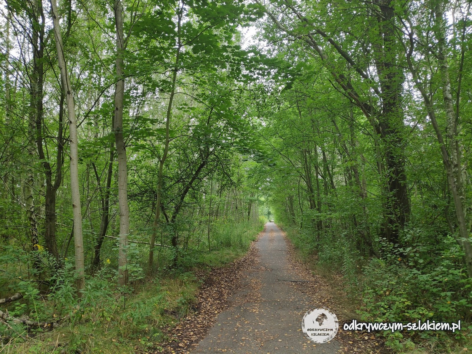
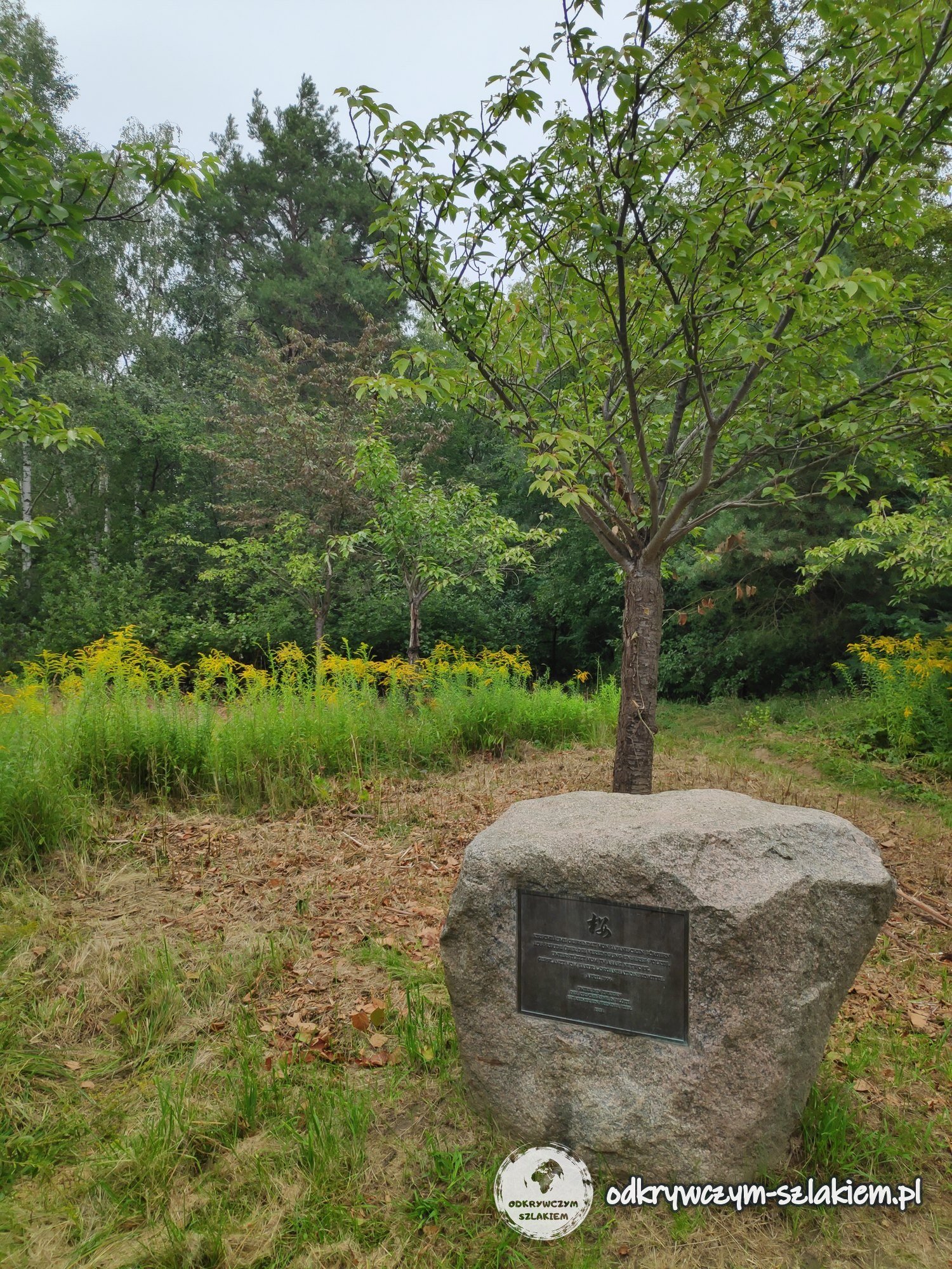
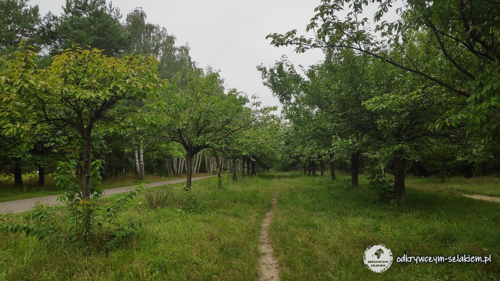
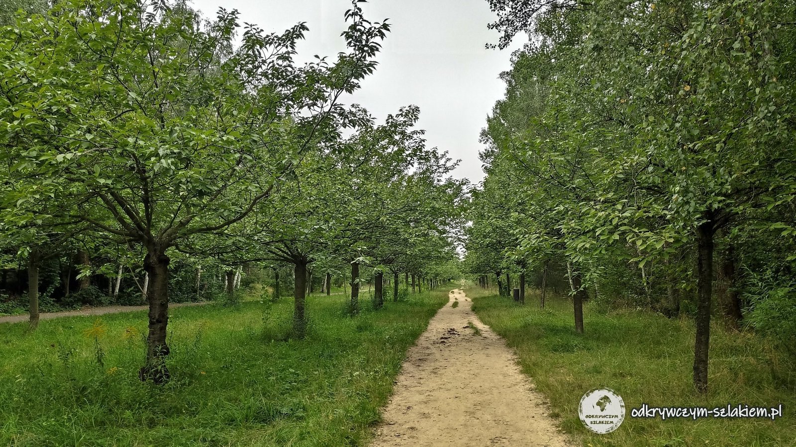
Between Lichterfelde and Teltow, an avenue of Japanese cherry trees (TV-Asahi-Kirschblütenallee) grows along the Mauerweg. The cherries usually blossom in April, but I was here at the beginning of September, so the trees were green.
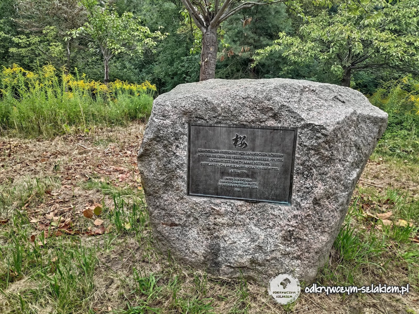
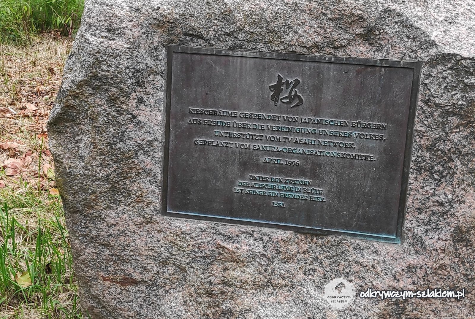
By the avenue lies a boulder with a bronze plaque and the Japanese character 桜 (sakura – cherry). The German inscription says that the trees were donated by Japanese citizens “out of joy at the reunification of our people”, with the support of the TV Asahi network, and planted by the Sakura organising committee in April 1996. Below is a haiku by Issa: “Under the branches of the cherry trees in blossom, no one here is a stranger”.
Lichterfelde Ost and the Teltow Canal
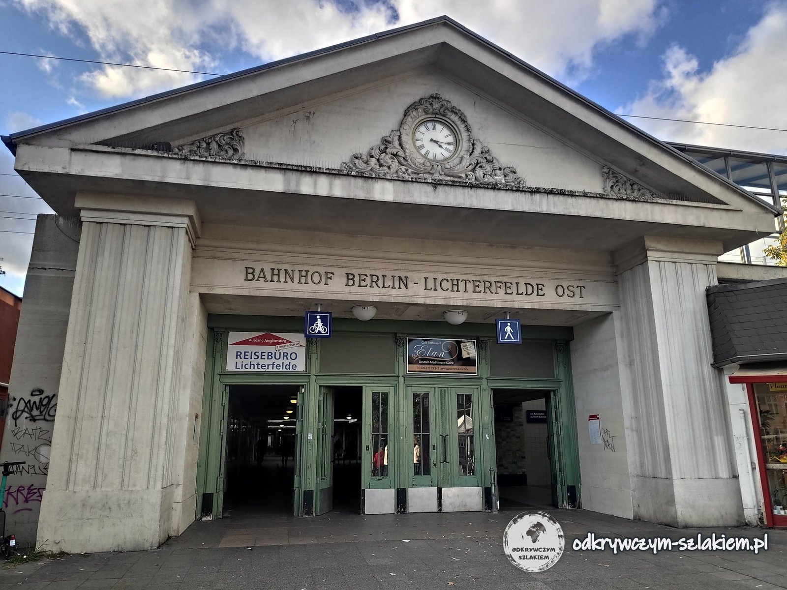
Lichterfelde Ost is a station whose entrance building has columns, a triangular pediment, a clock and the inscription “Bahnhof Berlin-Lichterfelde Ost”. The S25 and S26 S-Bahn lines stop here. It was from here, in 1881, that the world’s first electric tram set off – the line was built by Siemens & Halske. I took the photo in October 2021.
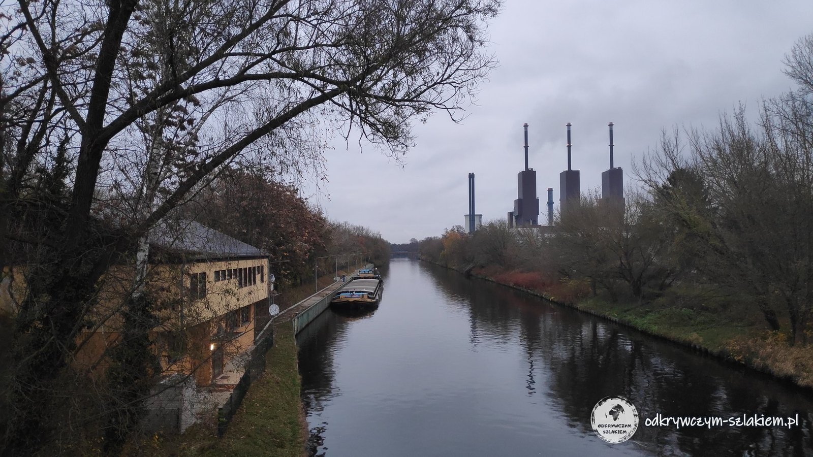
The Teltow Canal (Teltowkanal) flows through Lichterfelde – a shipping canal about 38 km long, opened in 1906, which links the Havel near Potsdam with the Dahme river in Köpenick. In November 2021 a barge was moored by the bank, and power-station chimneys could be seen in the distance.
Practical information
- Getting there: for the Bierpinsel and the Schloßstraße, take the U9 (Schloßstraße station) or the S1 S-Bahn (Rathaus Steglitz). For Lichterfelde Ost, take the S25 or S26. All the places described are in fare zone AB.
- On foot: Lilienthal’s hill is about 1.5–2 km from the Lichterfelde Ost and Lichterfelde Süd S-Bahn stations. From the hill to the cherry avenue on the Mauerweg it is about 2 km.
- When: the cherry trees on the Mauerweg usually blossom in April.
- Free: Lilienthal’s hill, the Stadtpark Steglitz, the cherry avenue and the Mauerweg can all be visited without a ticket. The Bierpinsel can only be seen from the outside.
- More Berlin: I describe City West with the Ku’damm and the Memorial Church in the post Former West Berlin, a stretch of the Mauerweg near Hennigsdorf in the post Day trips from Berlin, and the remains of the Wall in the centre in the post about the Berlin Wall.
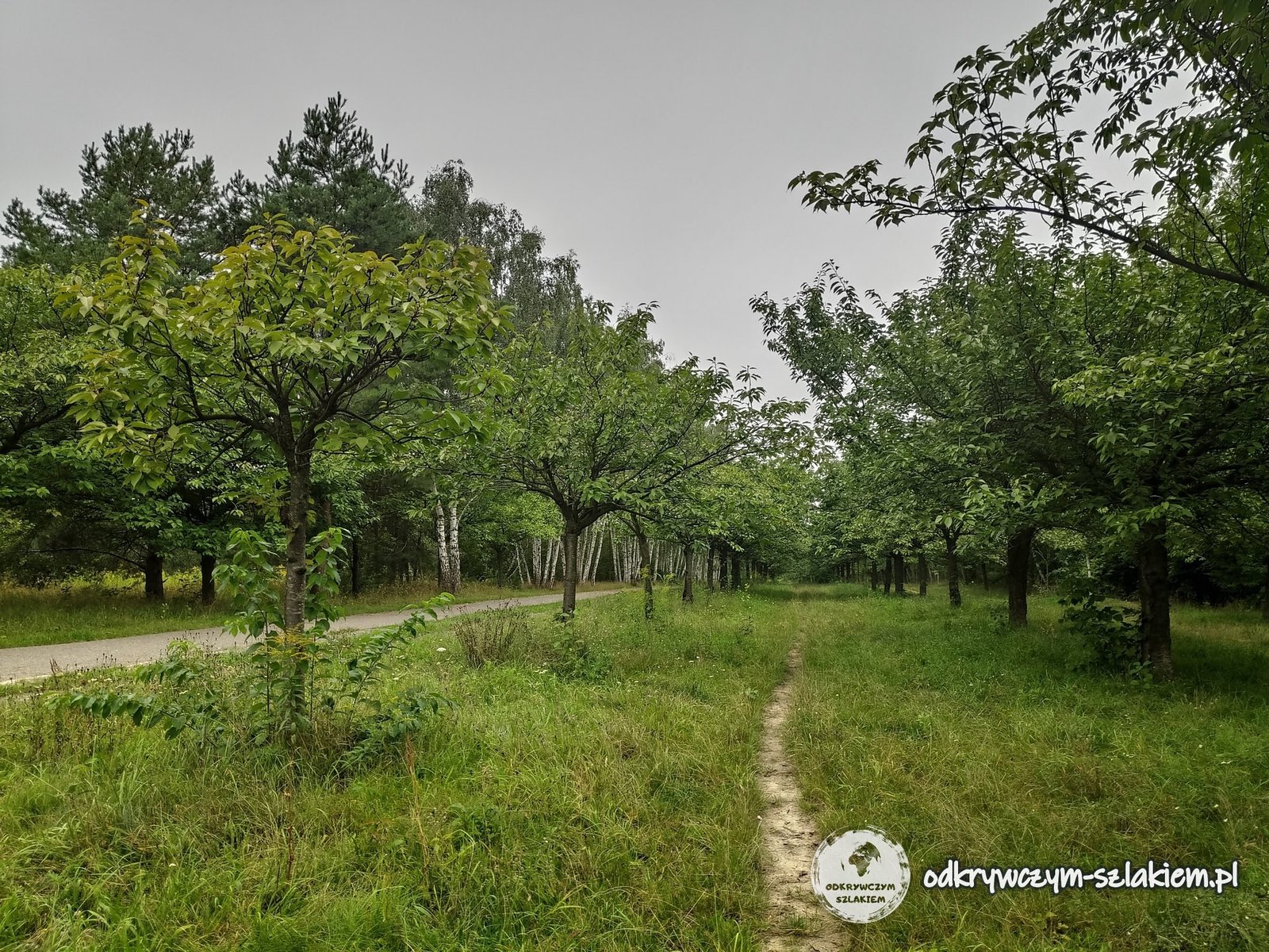
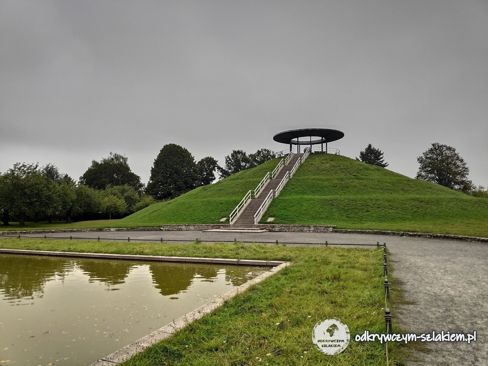
Photo gallery