Berlin is a city where 20th-century history is visible at every turn – and most of all in the places where the Berlin Wall stood for 28 years. In 2019, when Germany was marking the 30th anniversary of its fall, we visited the most important Berlin Wall memorial sites: the colourful East Side Gallery, the Berlin Wall Memorial on Bernauer Straße with its preserved death strip, and the wall segments at Potsdamer Platz. We also saw the whole history of the city – from the Middle Ages to German reunification – in miniature, on the interactive models of Little BIG City.
Table of contents
- The Berlin Wall in brief
- East Side Gallery – the wall as an art gallery
- The Berlin Wall Memorial on Bernauer Straße
- Wall segments at Potsdamer Platz
- Checkpoint Charlie and the Cold War exhibition
- The border in the north – Lübars and Blankenfelde
- Little BIG City – the history of Berlin in models
- Practical information
The Berlin Wall in brief
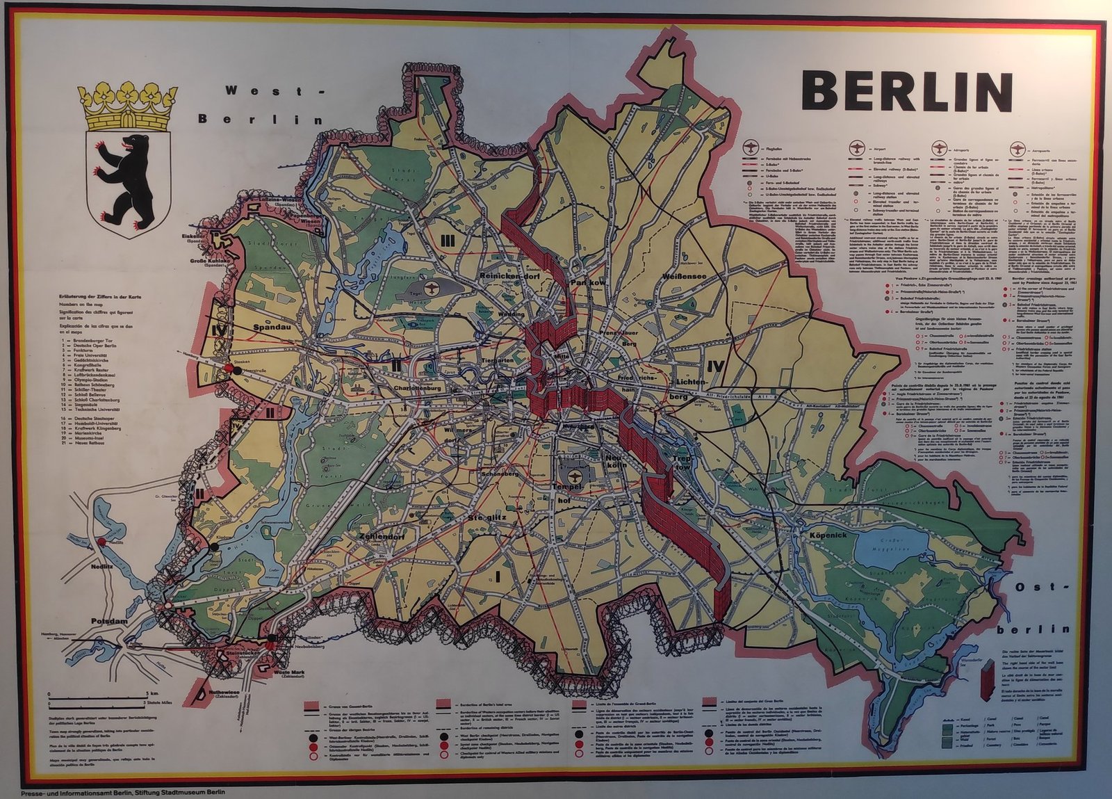
Construction of the wall began on the night of 12 to 13 August 1961 – the East German authorities used it to cut West Berlin off from the rest of the city and from the GDR surrounding it. Over time, the makeshift fence grew into a system of fortifications: two walls with a border strip and watchtowers between them, known as the death strip. Around West Berlin the border was about 155 km long. At least 140 people died there trying to escape. The wall fell on 9 November 1989 and became a symbol of the struggle for freedom – a year later Germany was one country again.
In the city, the former course of the Wall is marked in the pavement by a double row of cobblestones with metal plates reading “Berliner Mauer 1961–1989”. I photographed one of these markers on the border between the Pankow and Wedding districts.

On 9 November 2019, exactly 30 years after the fall of the Wall, I was near the Brandenburg Gate, where the anniversary was being celebrated under the slogan “30 years peaceful revolution – fall of the wall”.

East Side Gallery – the wall as an art gallery
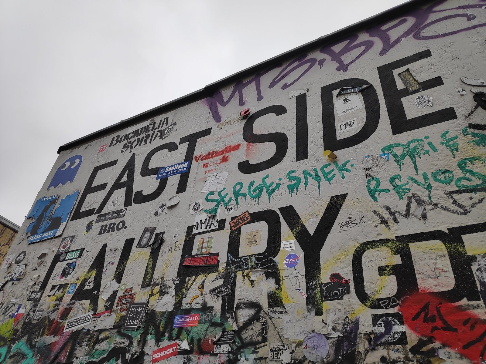
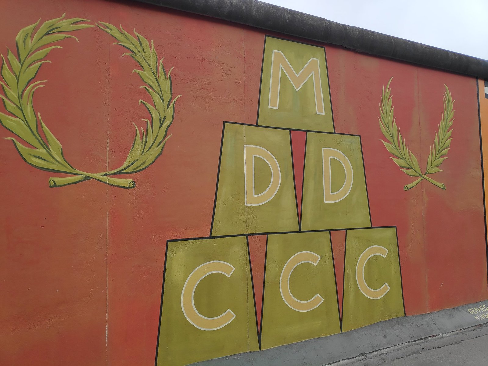
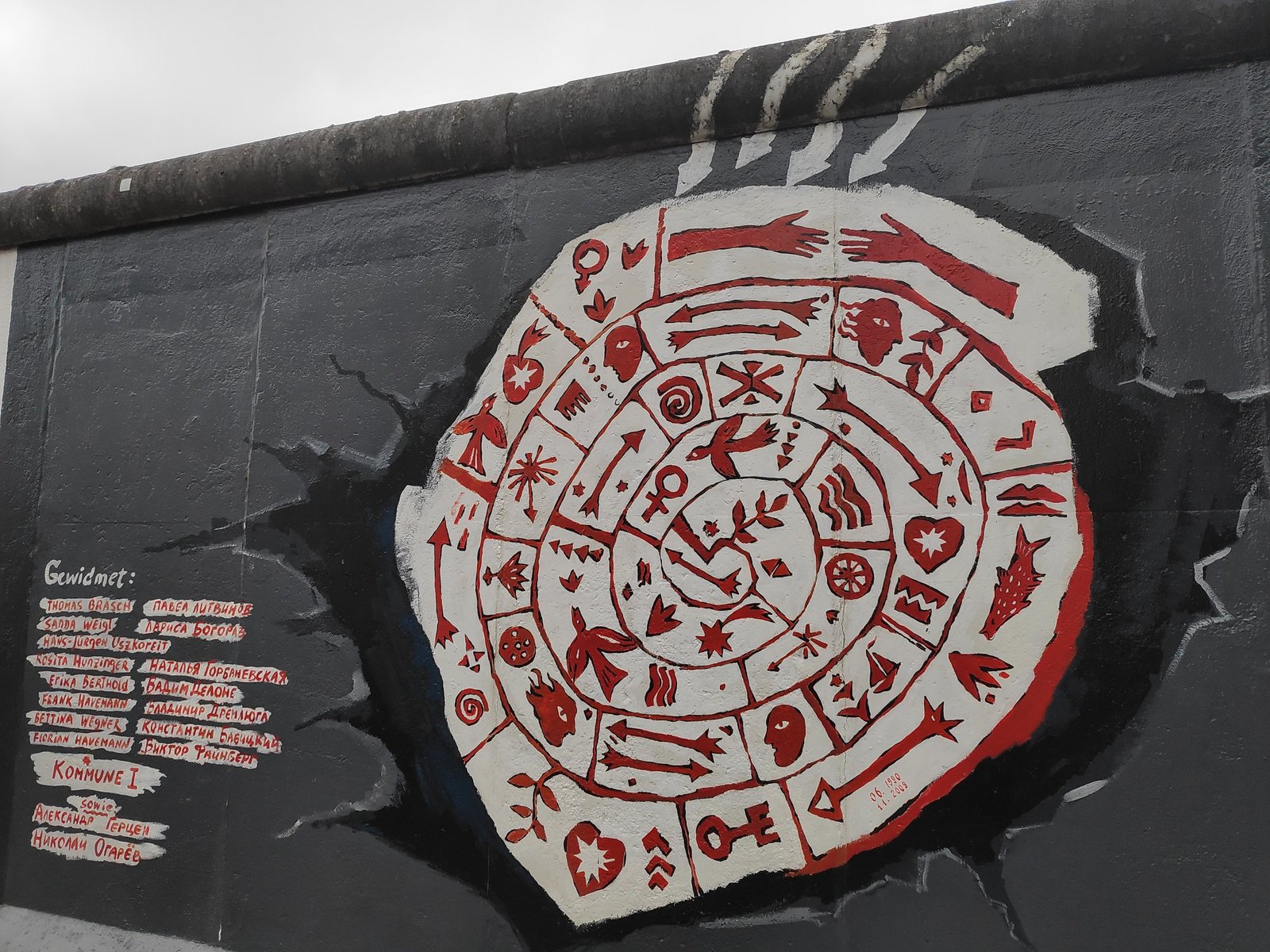
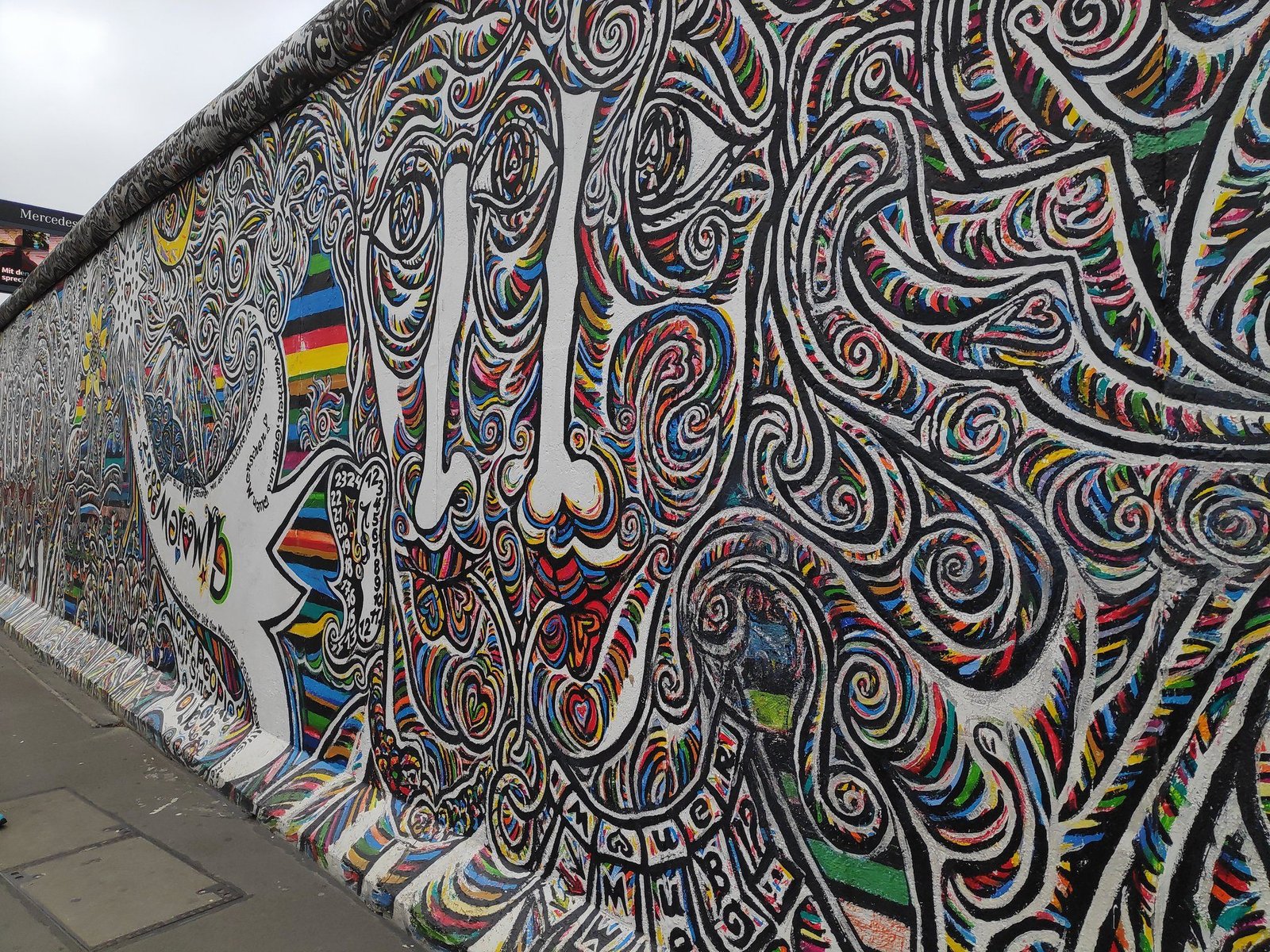
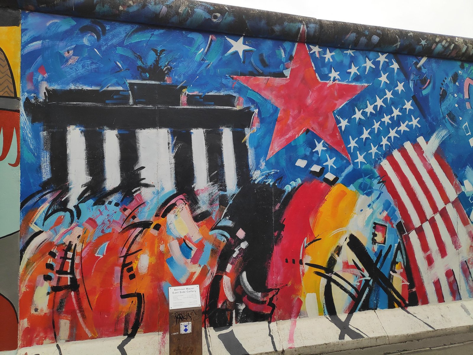
The East Side Gallery is the longest surviving section of the Berlin Wall – about 1.3 km along the Spree, between Ostbahnhof station and the Oberbaumbrücke bridge. In 1990 more than a hundred artists from over twenty countries painted it, and so the wall became the largest open-air art gallery in the world. The paintings speak of freedom, division and hope, and some of them have become icons of Berlin.
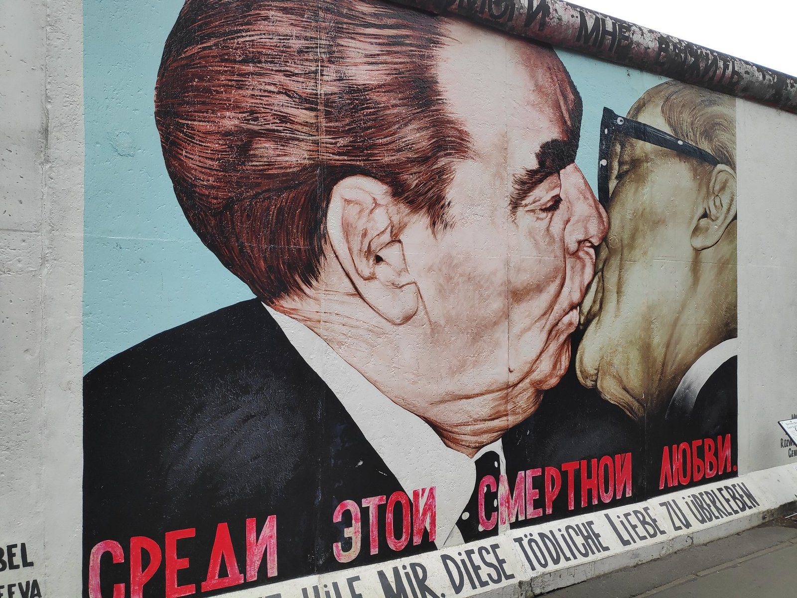
The most famous is “The Fraternal Kiss” by Dmitri Vrubel – Soviet leader Leonid Brezhnev kissing East German leader Erich Honecker, with the caption: “My God, help me to survive this deadly love”. There is always a crowd of people taking photos in front of this mural. It’s worth walking the whole length of the gallery – every section is different.
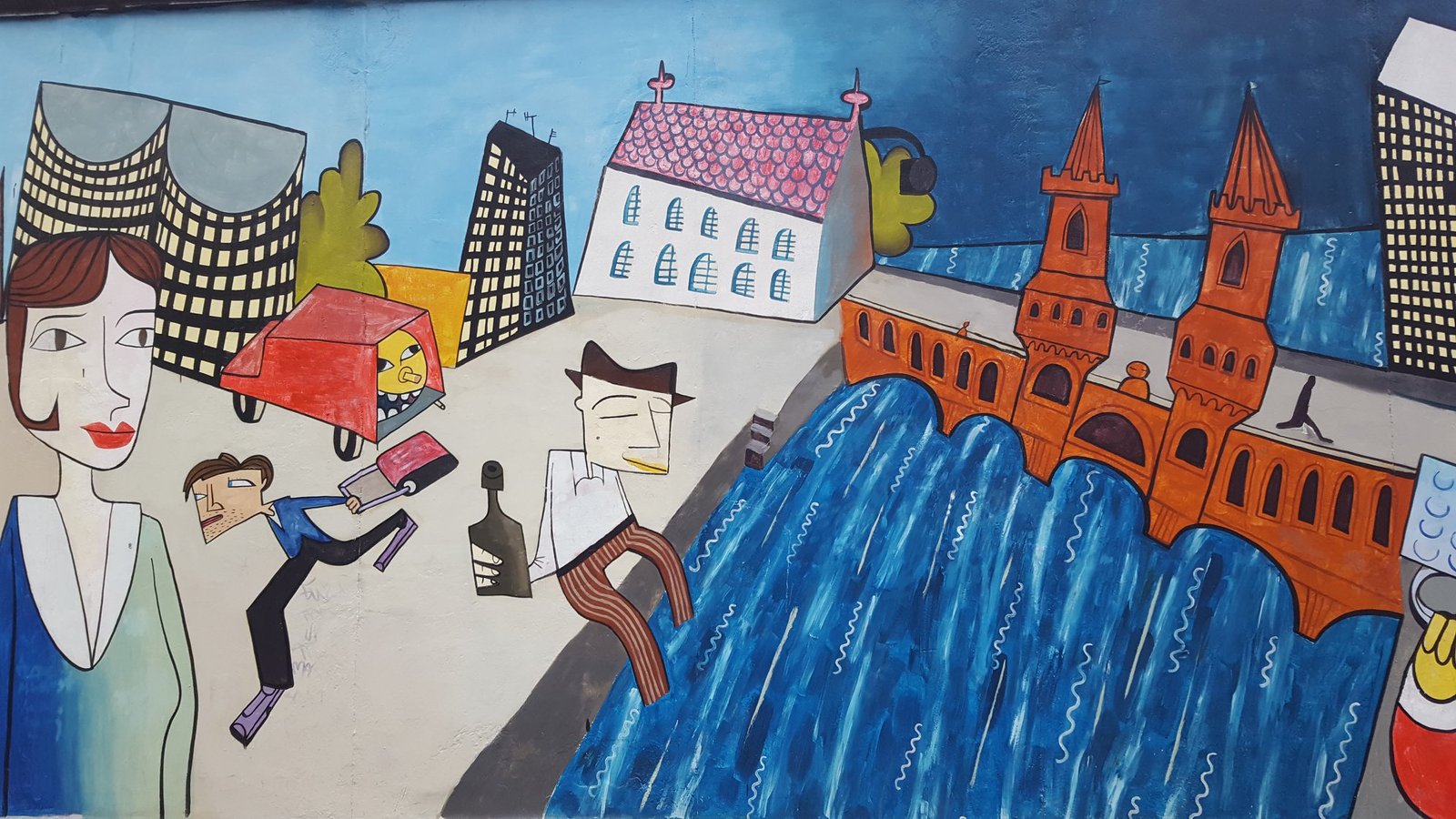
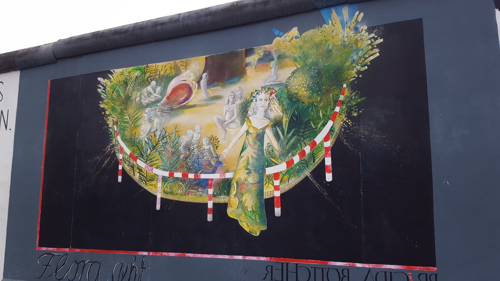
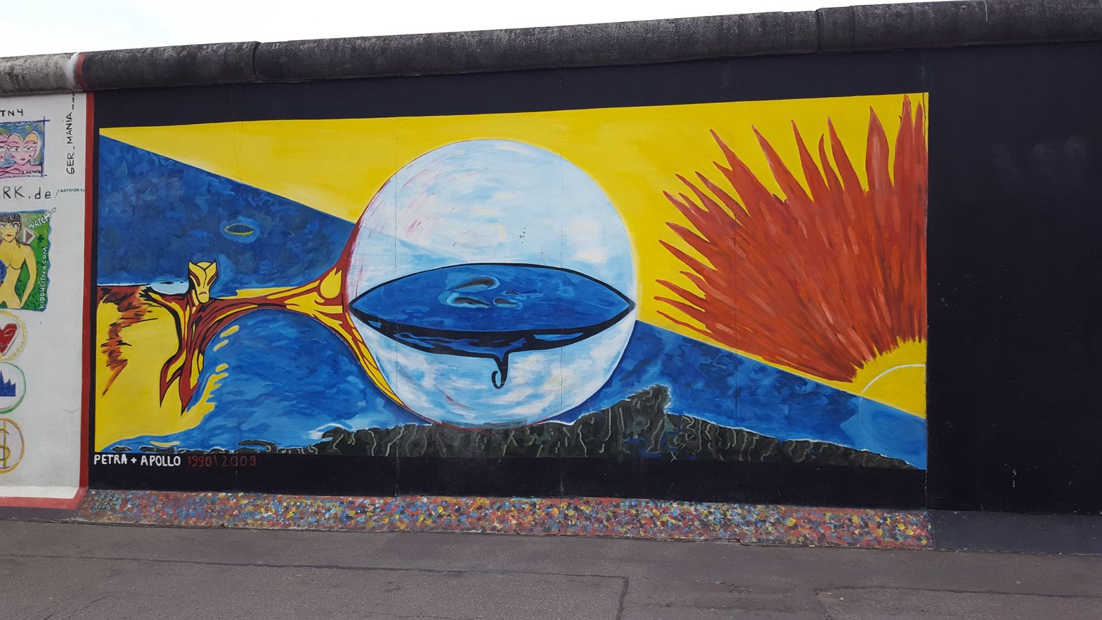
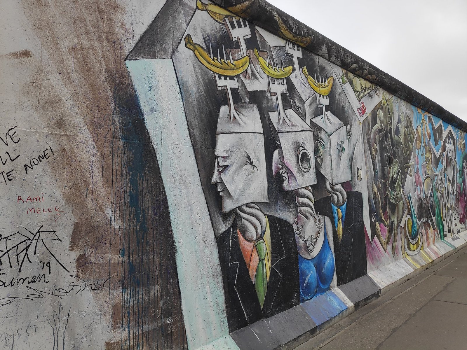
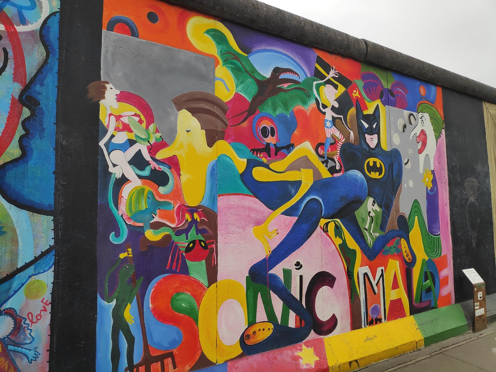
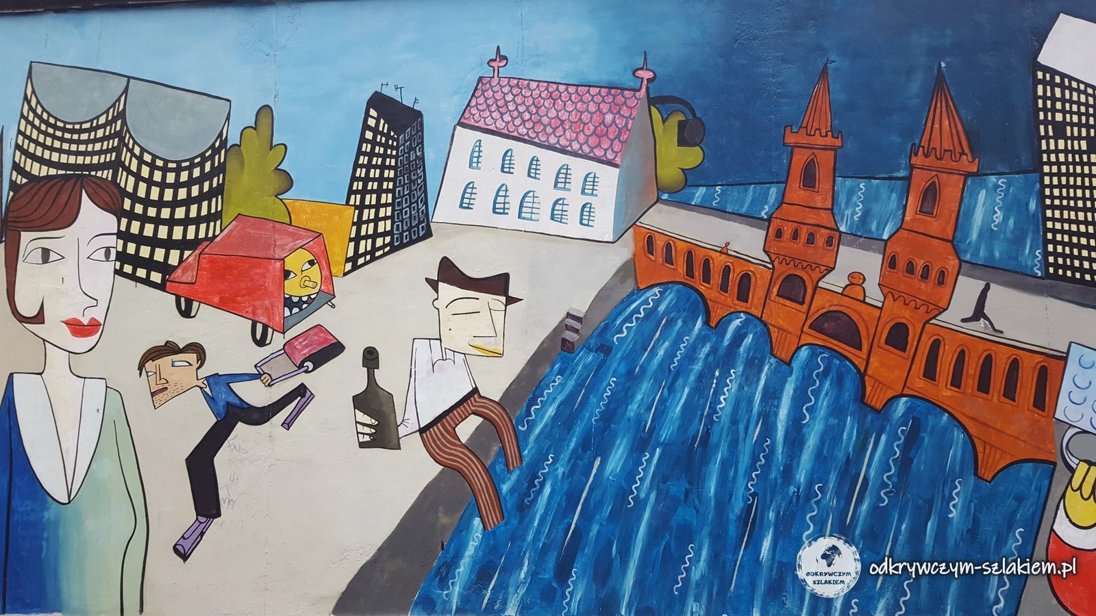
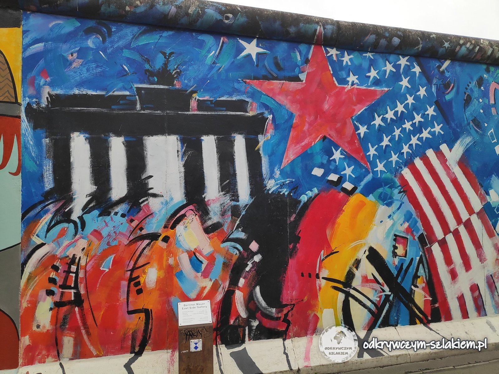
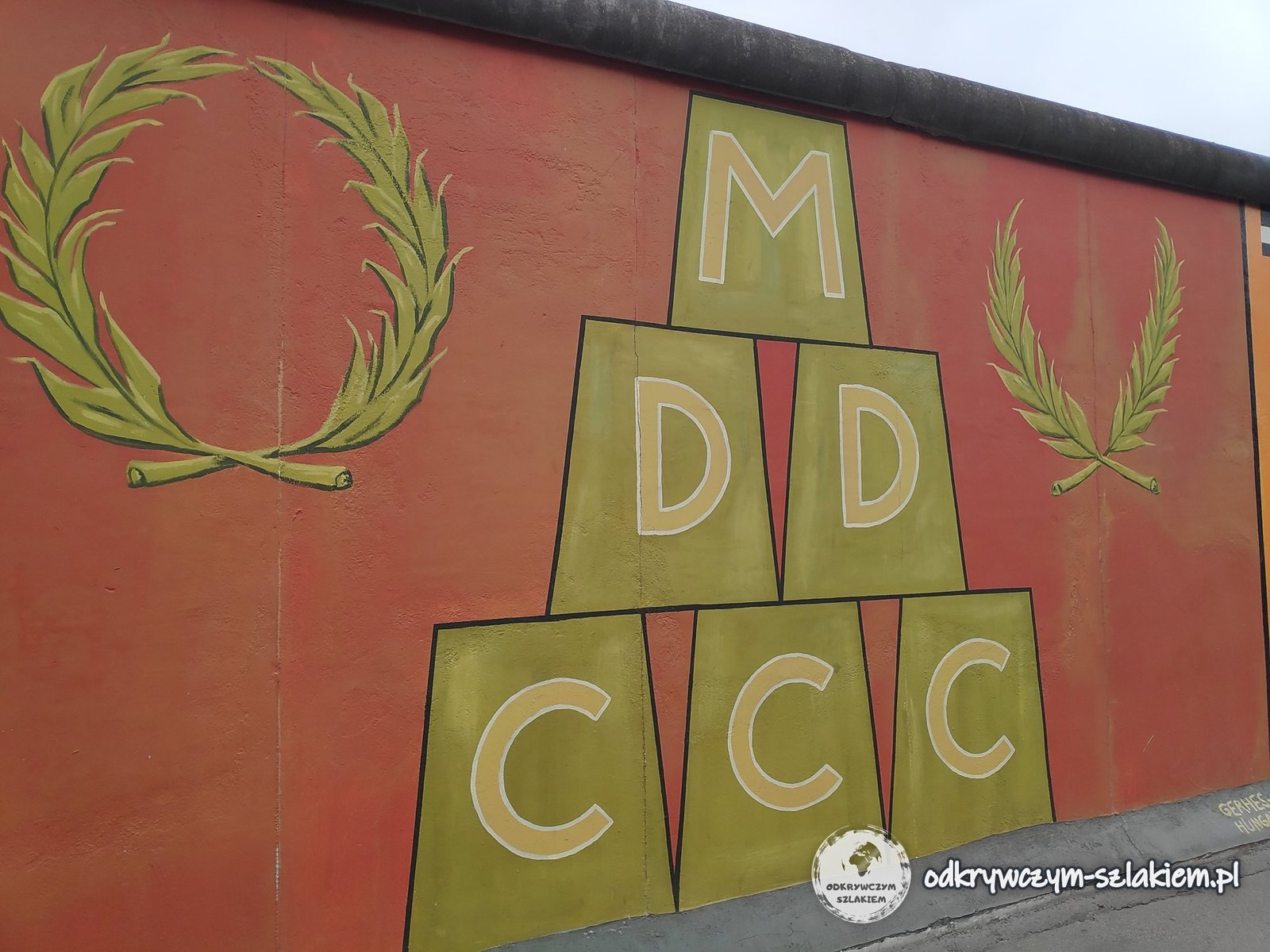
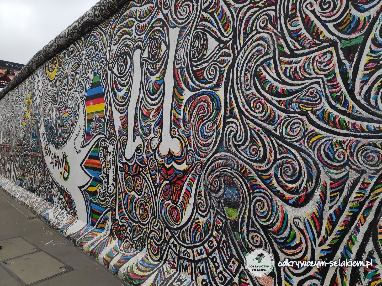
I first walked along the East Side Gallery in July 2011, during my first stay in Berlin. A plaque on the Wall sums up the key dates: the Wall went up in 1961 and fell on 9 November 1989, the paintings were made between February and September 1990, and they were restored in 2009. One of the best known is the Trabant breaking through the Wall – a work by Birgit Kinder from 1990.


Some of the murals are just words. One carries an African proverb in German and English: “Many small people who in many small places do many small things can alter the face of the world”. Another looks like a road sign: “Detour to the Japanese Sector” – a work by Thomas Klingenstein from 1990. Divided Berlin had four sectors – American, British, French and Soviet – but never a Japanese one.


The Berlin Wall Memorial on Bernauer Straße
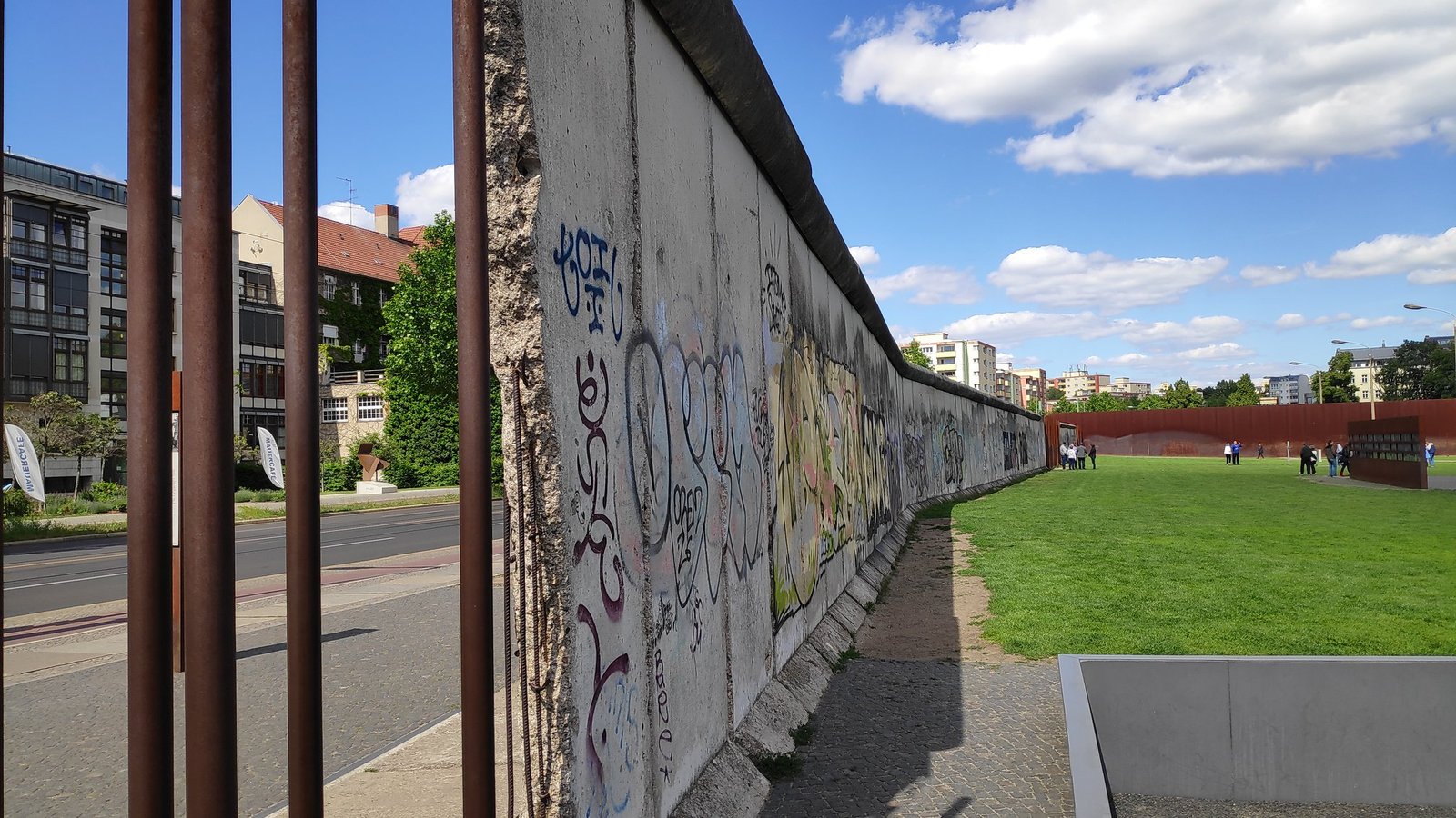
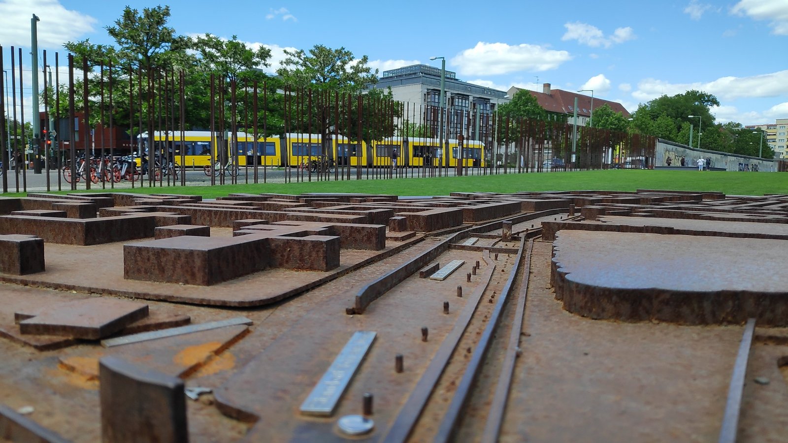
The Berlin Wall Memorial (Gedenkstätte Berliner Mauer) on Bernauer Straße has a completely different character. On this street the border ran right along the houses – residents escaped to the West through the windows before they were bricked up, and later whole apartment buildings were demolished. Today an open-air museum has been set up on a stretch of the former border strip: rusty steel rods mark the course of the wall, and information boards and models show what the border looked like.
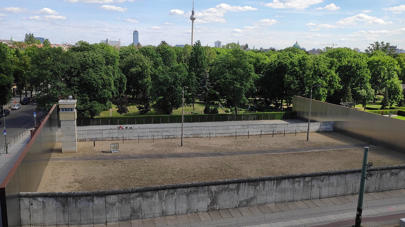
From the viewing platform of the documentation centre you can see an originally preserved section of the border – the outer and inner walls, the sandy death strip and a watchtower. Only from above can you see how carefully thought out this system was and how hard it was to get across.
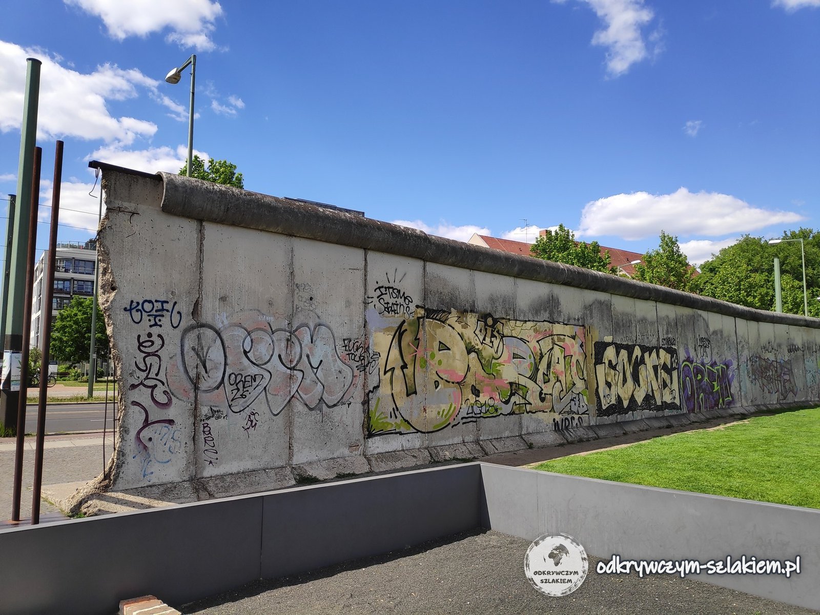
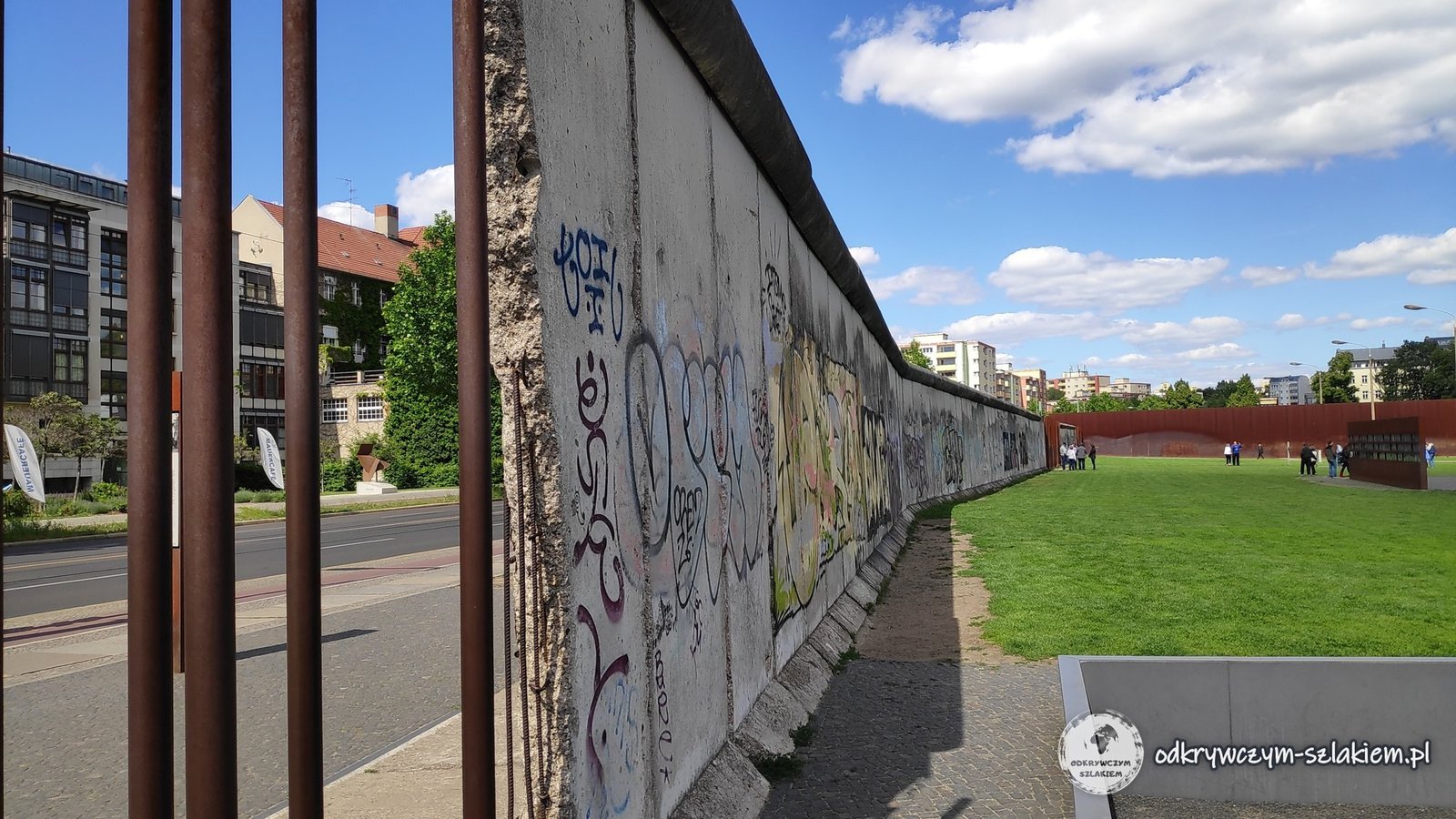
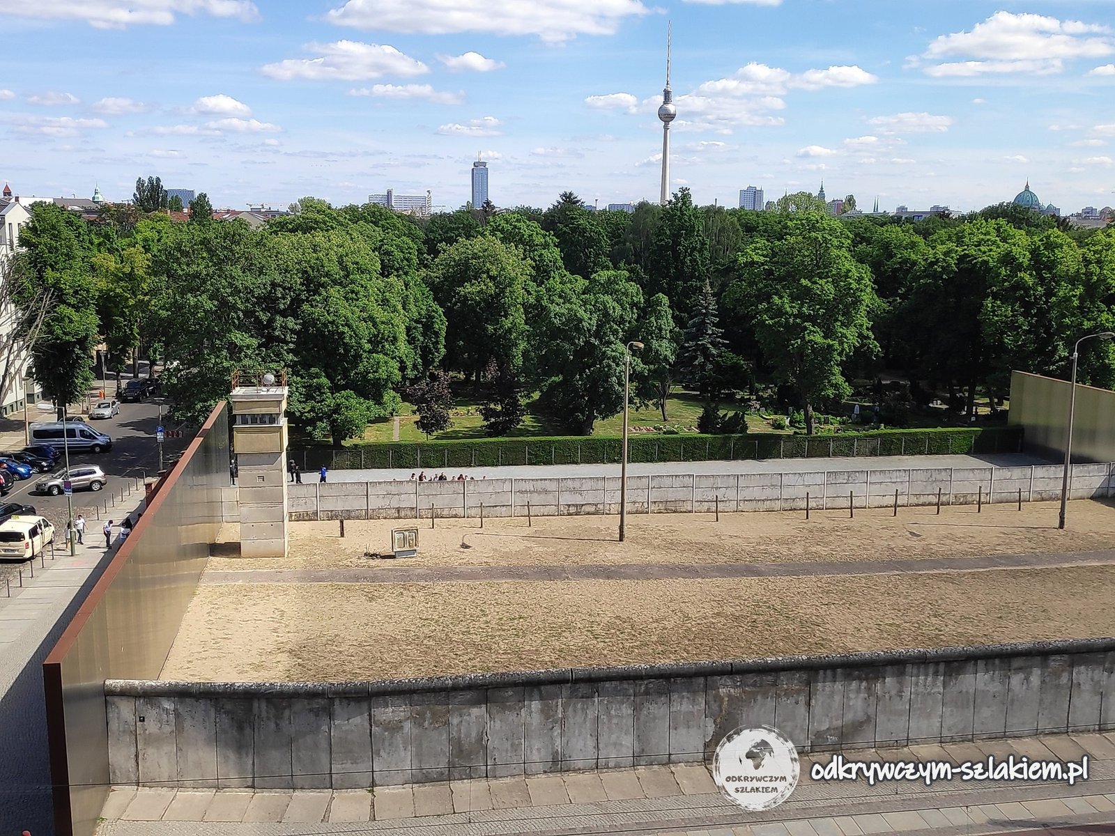
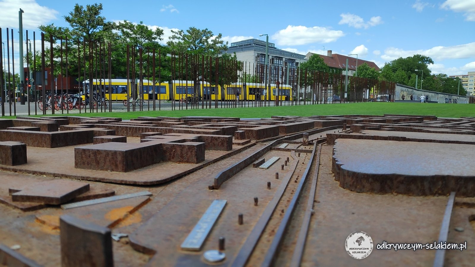
The exhibition at Bernauer Straße includes a photo from 1985 showing the GDR authorities blowing up the tower of the Church of Reconciliation (Versöhnungskirche) – the church stood in the border strip.

Wall segments at Potsdamer Platz
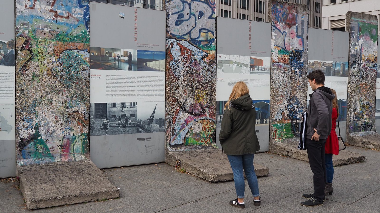
The wall also cut across Potsdamer Platz – before the war one of the busiest squares in Europe, and while the city was divided, a wasteland in the border strip. Today modern high-rises stand here, and the former border is recalled by a few painted wall segments with information boards.
Checkpoint Charlie and the Cold War exhibition
Checkpoint Charlie on Friedrichstraße was the best-known crossing point between East and West Berlin from 1961 to 1990 – it was used by foreigners, diplomats and Allied soldiers. Today a replica of the guard booth with sandbags stands here, and illuminated portraits of two soldiers – a Soviet one and an American one – hang above the street.
Next to it, along a long fence, there is a free open-air exhibition of large-format photos: Soviet tanks at the crossing during the uprising of 17 June 1953, American tanks on 27 October 1961, when US and Soviet tanks faced each other at Checkpoint Charlie, and an aerial photo of the crossing from around 1980, taken by the Stasi. I saw it with my dad.


You can see what the place looked like during the 2021 lockdown in the post Berlin: what to see.
The border in the north – Lübars and Blankenfelde
The Wall surrounded the whole of West Berlin – including the rural outskirts of the city. One summer day I walked through the fields and meadows near Lübars, on the northern edge of Berlin, where the border with the GDR ran. By the path there is a display case with spiked “Stachelmatten” mats with spikes about 10 cm long. According to the sign, the GDR laid them in the ditches of the Eichwerder meadows so that escapees could not wade through them to West Berlin; the ones in the case were found in November 2013. The media called them “Stalin’s lawn”.
A little further on, by the road from Blankenfelde to Lübars, stands the sign “Krankensammellager in Blankenfelde-Nord”. From 1941 to 1945 there was a camp here for sick forced labourers from the Soviet Union who were no longer able to work – according to the sign, at least 700 deaths have been documented. From 1961 to 1989 the site lay within the border fortifications.


I write more about Lübars itself – its fields, ponds and the Tegeler Fließ valley – in the post Green Berlin.
Little BIG City – the history of Berlin in models
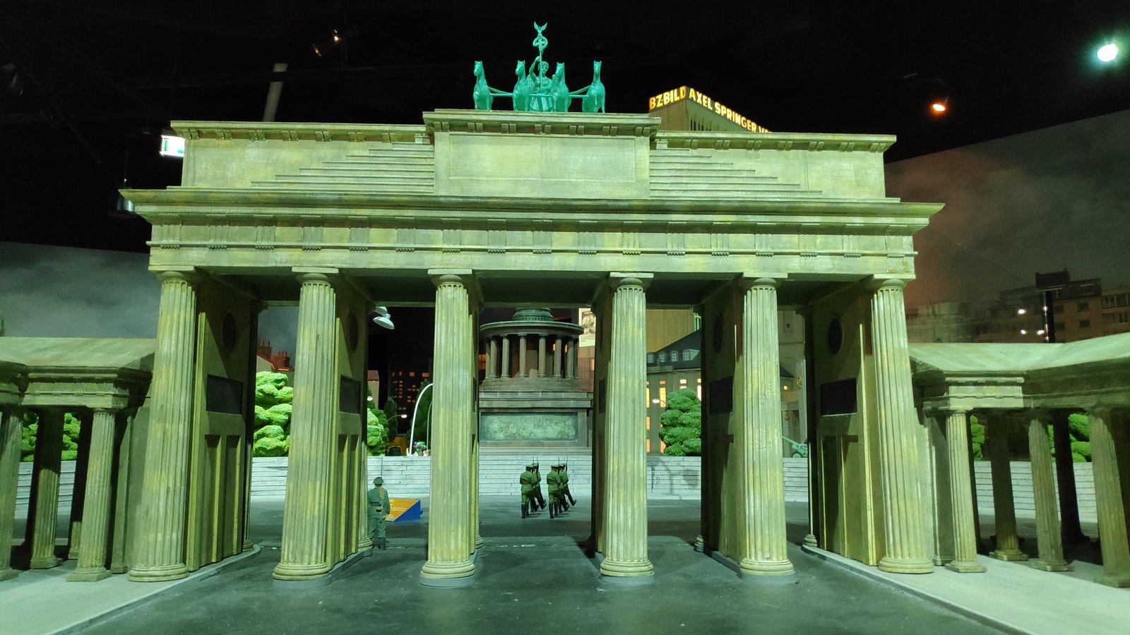
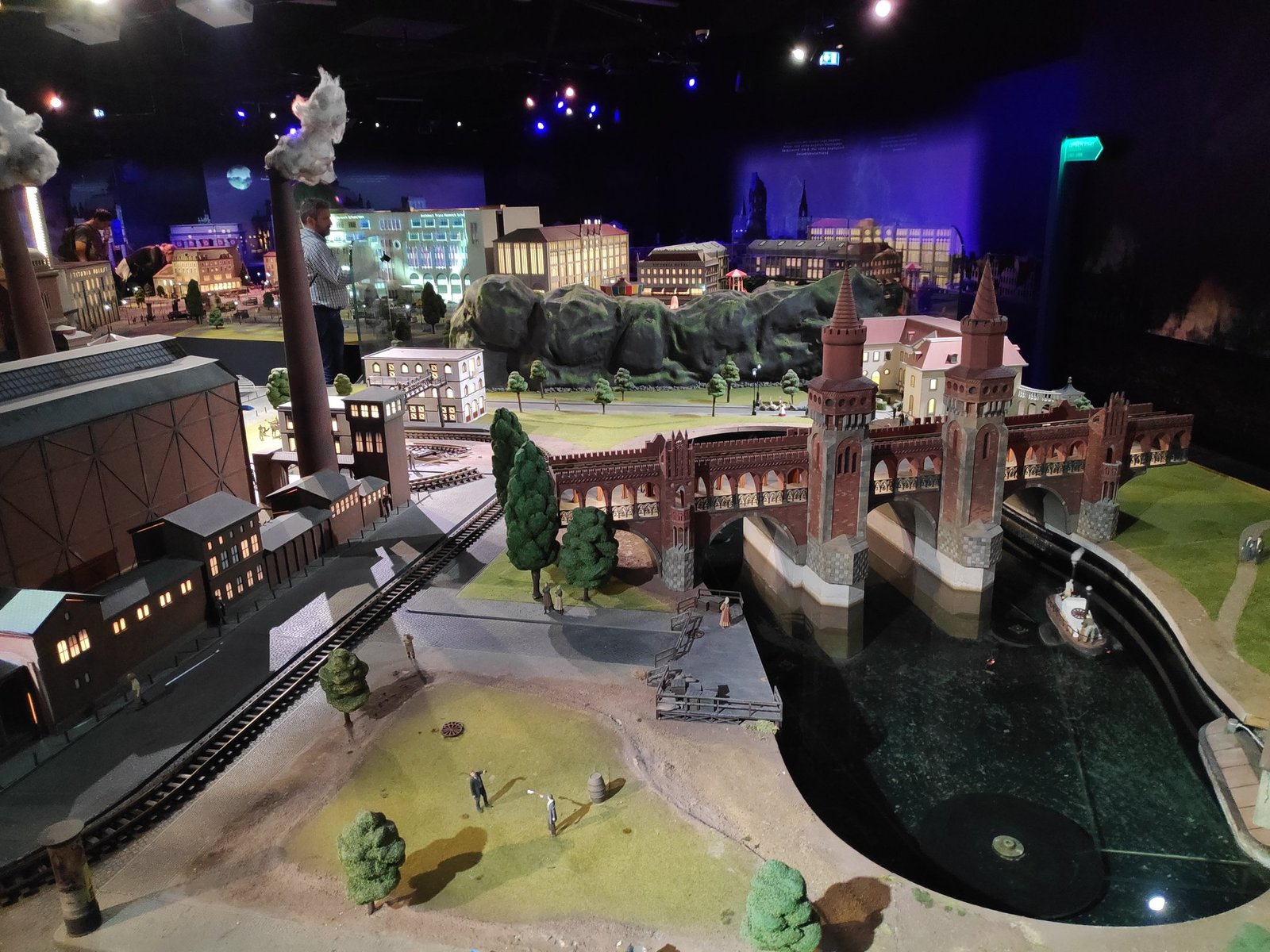
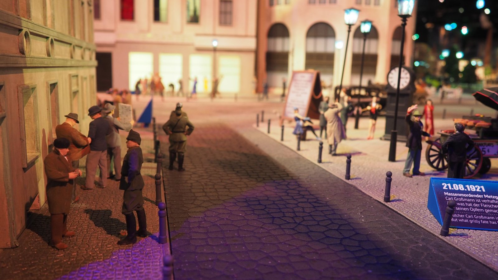
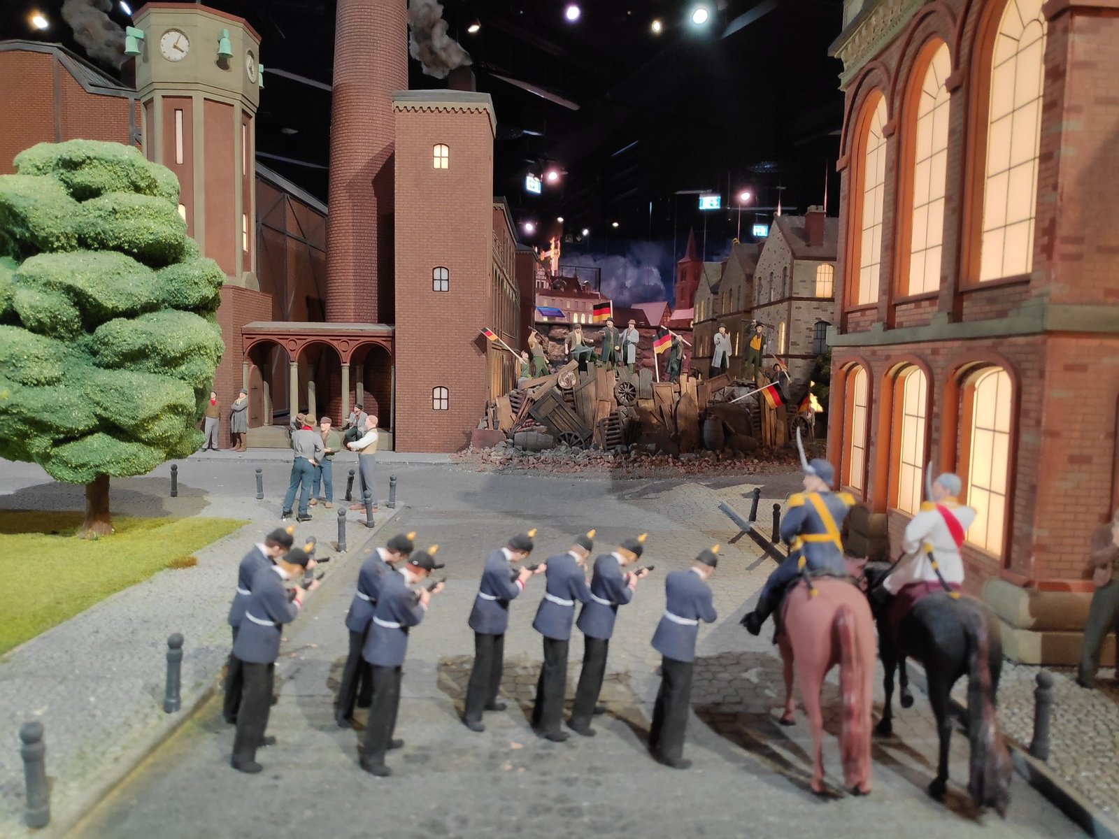
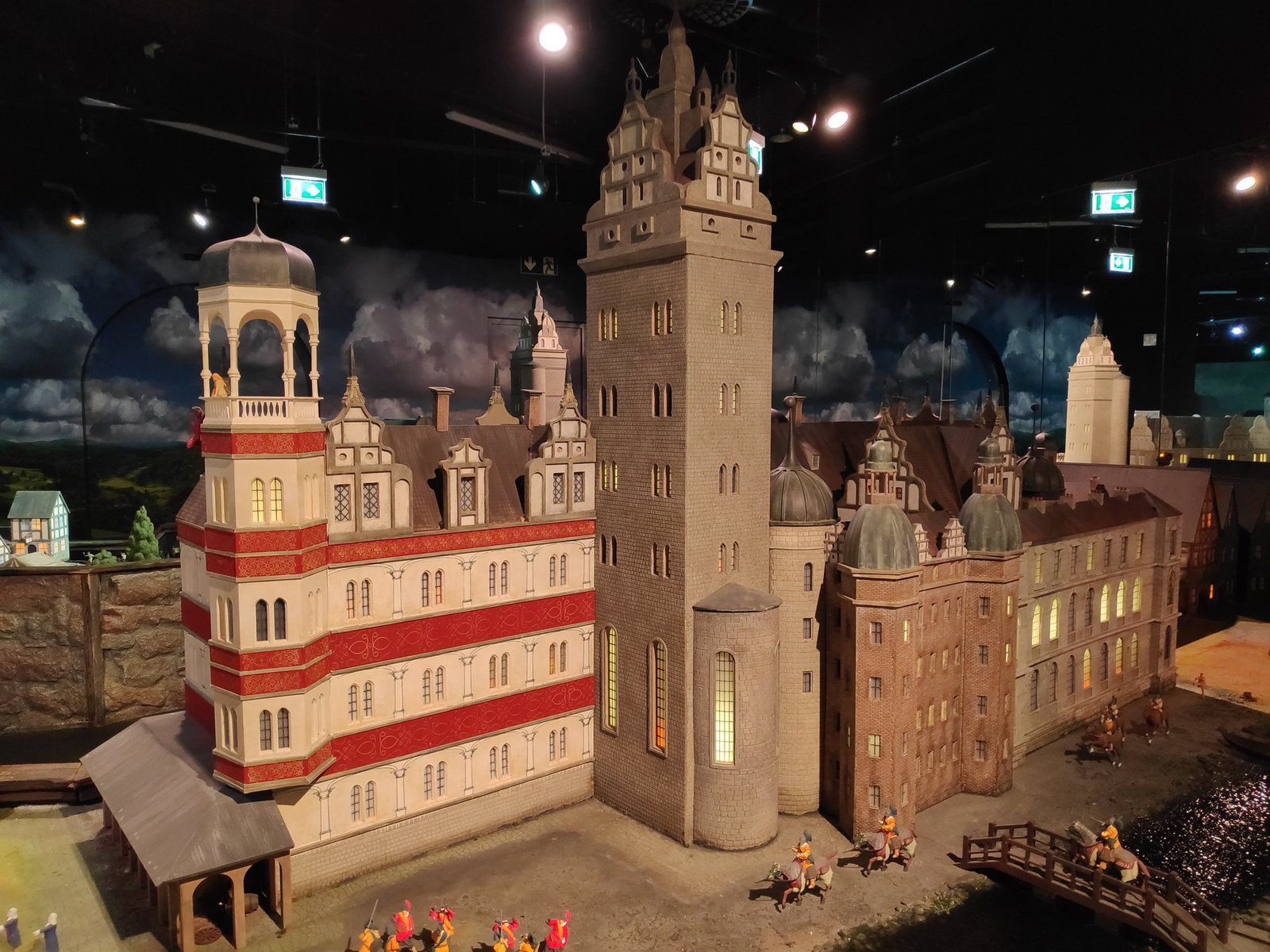
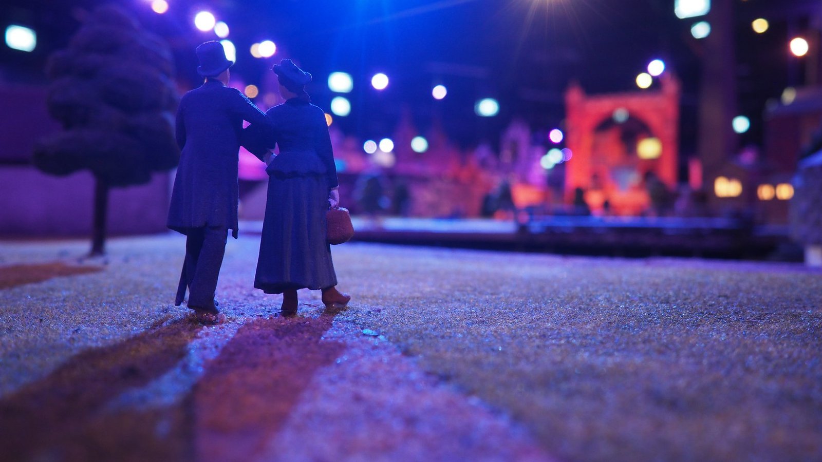
How do you present a city’s history in an accessible way? Little BIG City, at the foot of the TV tower on Alexanderplatz, told it through miniature, interactive models – from the 13th century to the present day. We were here when Michał and Patrycja visited me in Berlin – on the same day as Madame Tussauds. Many of the buildings shown have survived to this day, so we recognised quite a few of them, having seen them in real life earlier. Note: Little BIG City closed permanently in December 2024 – the photos remain.
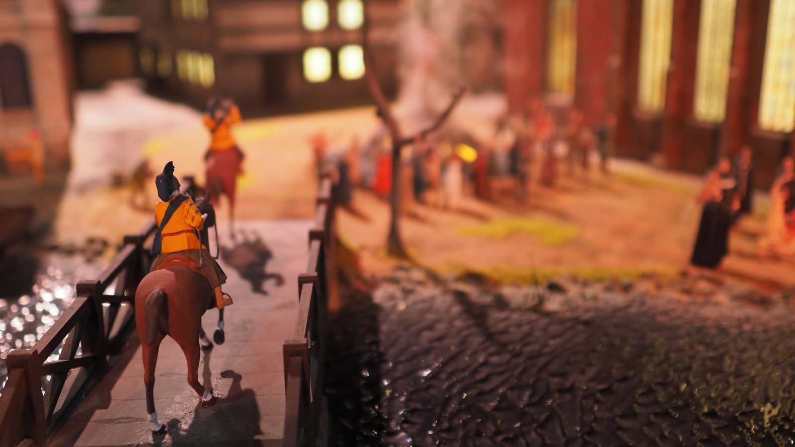
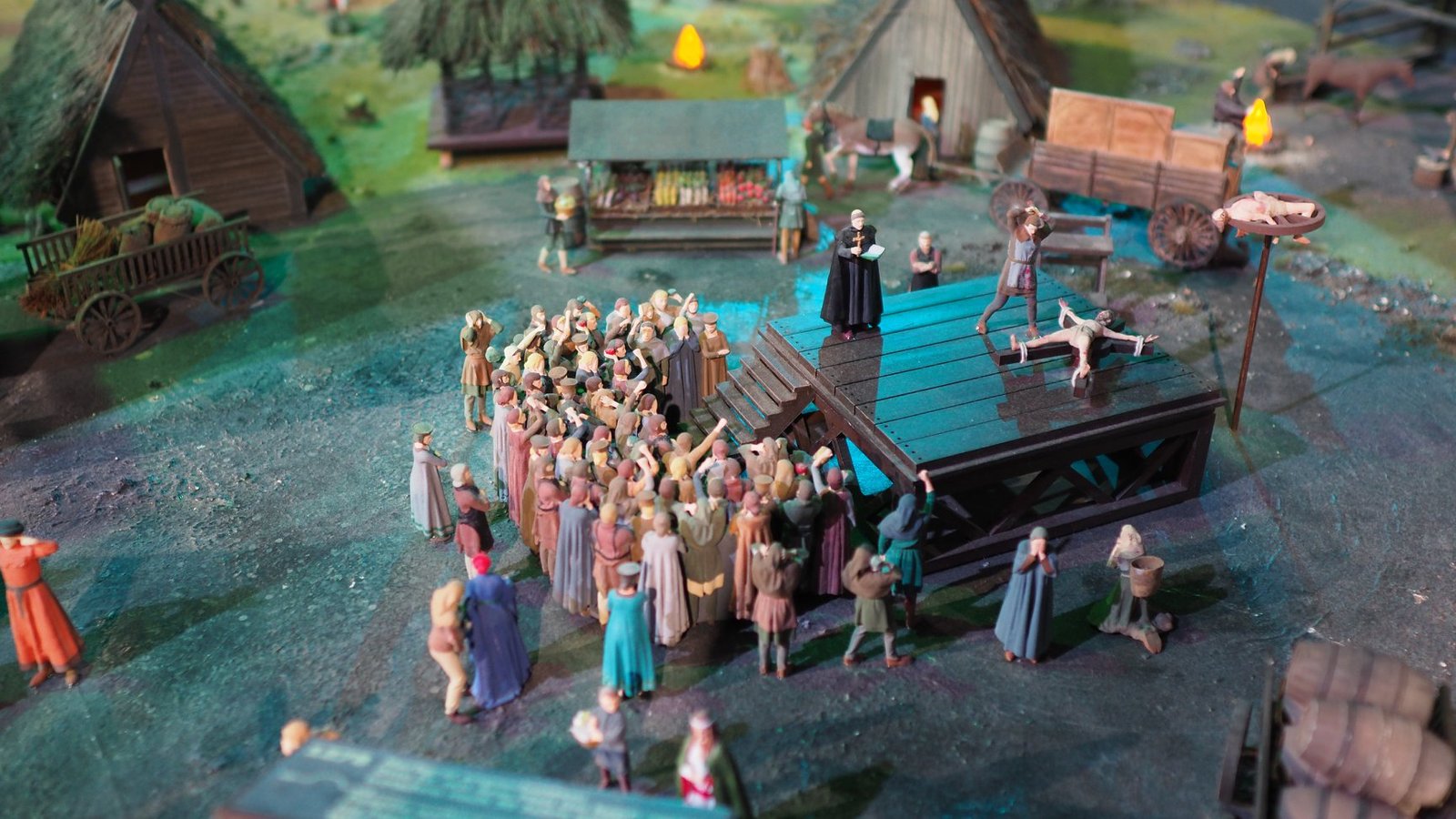
The journey began in the “provincial” Middle Ages – with markets, public punishments and burnings at the stake.
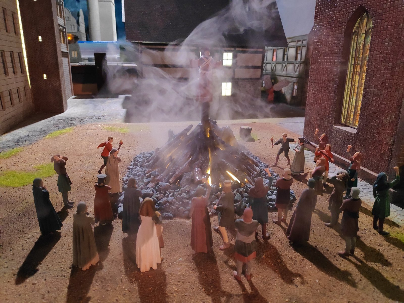
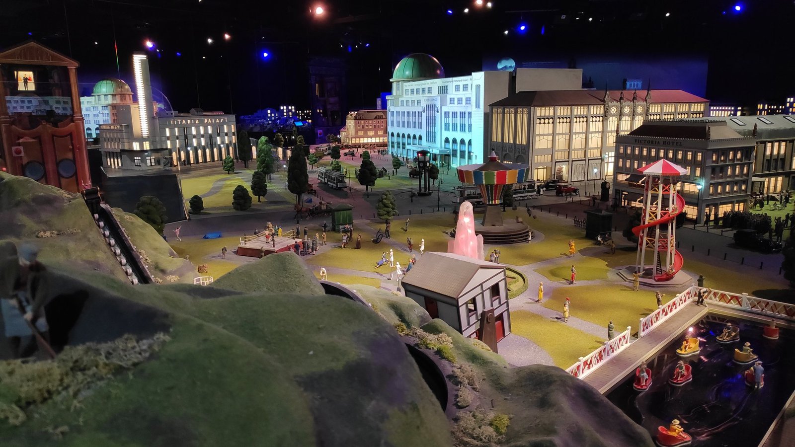
Then we moved on to an ever grander city: the carnival of 1788, Berlin’s growth at the beginning of the 20th century and the 1920s with the huge entertainment complex Haus Vaterland on Potsdamer Platz (destroyed in the war and demolished in the 1970s).
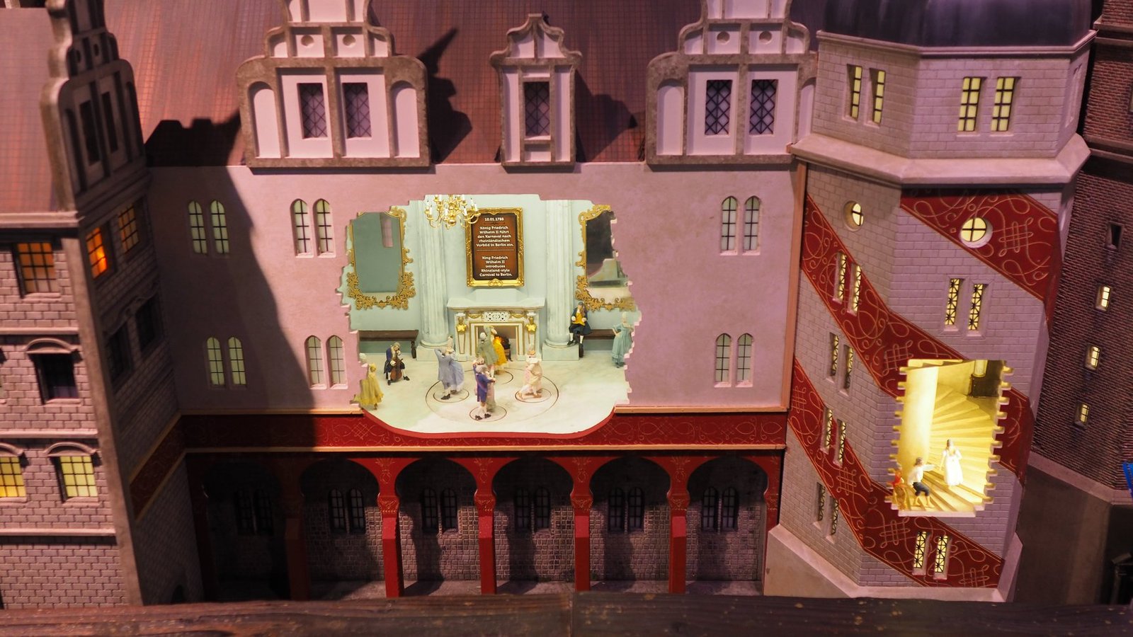
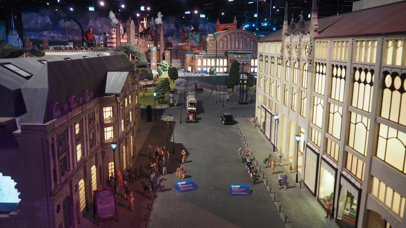
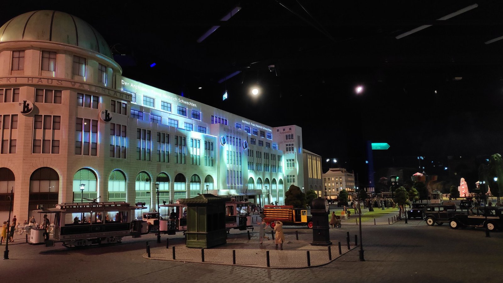
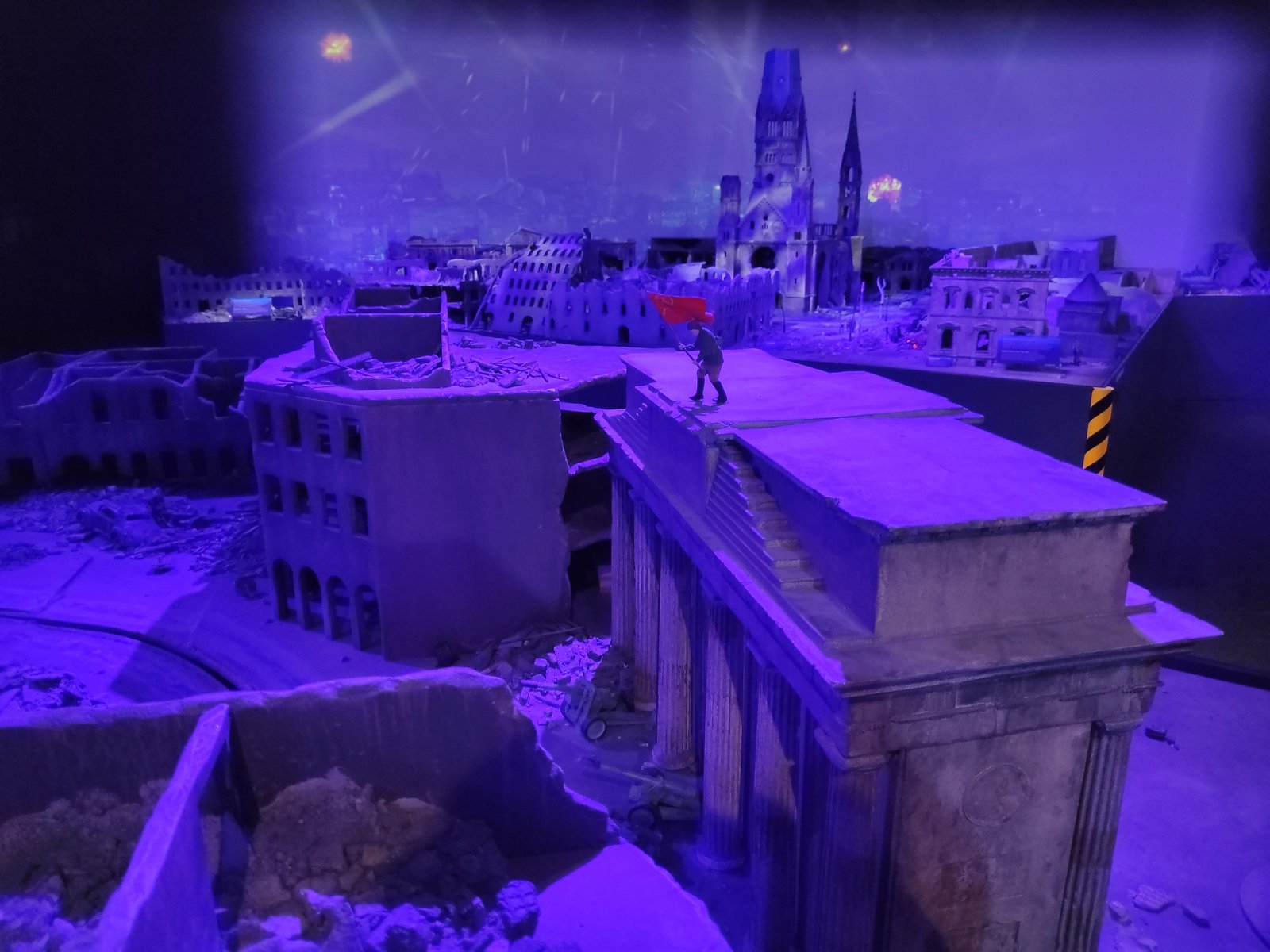
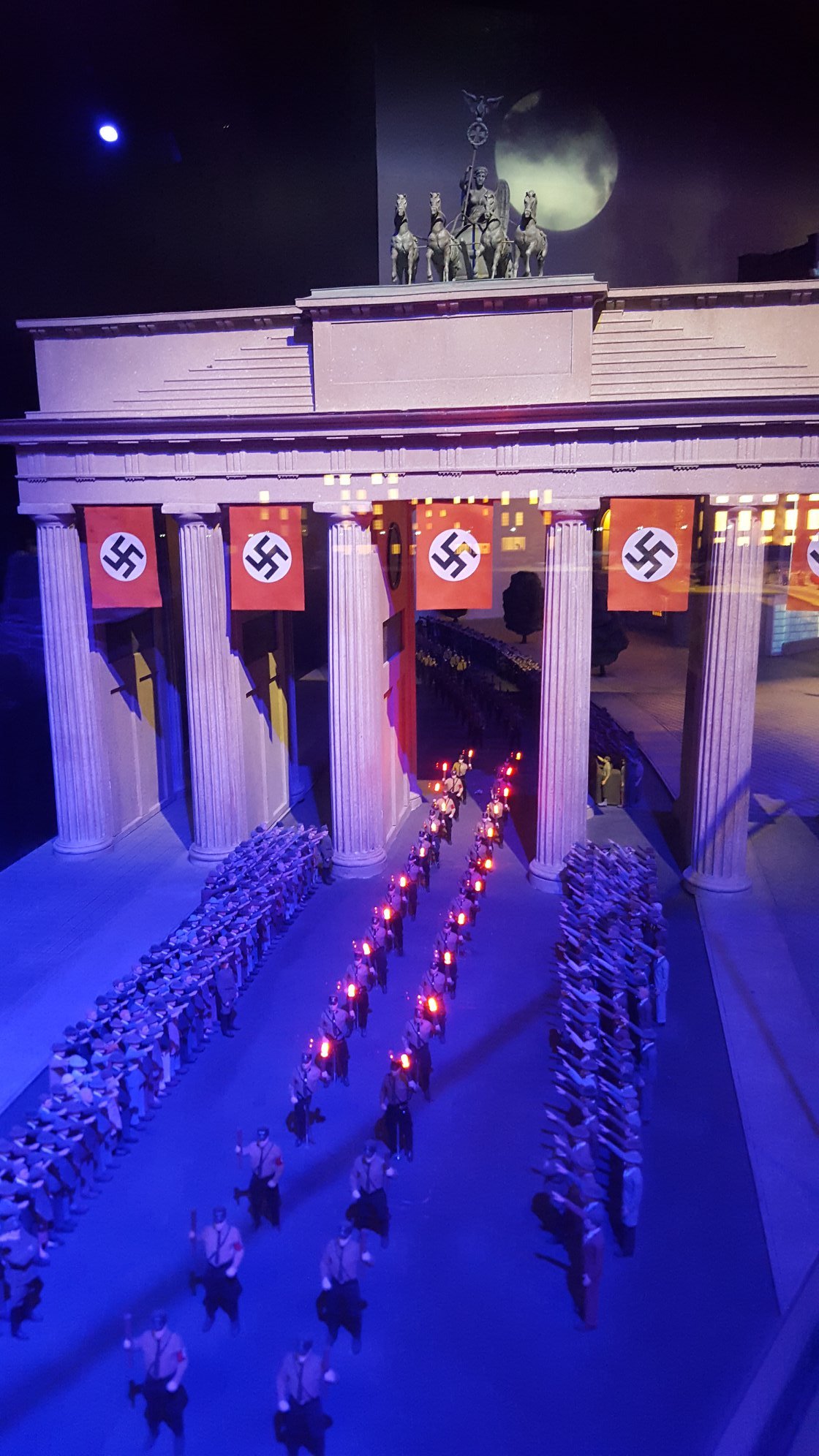
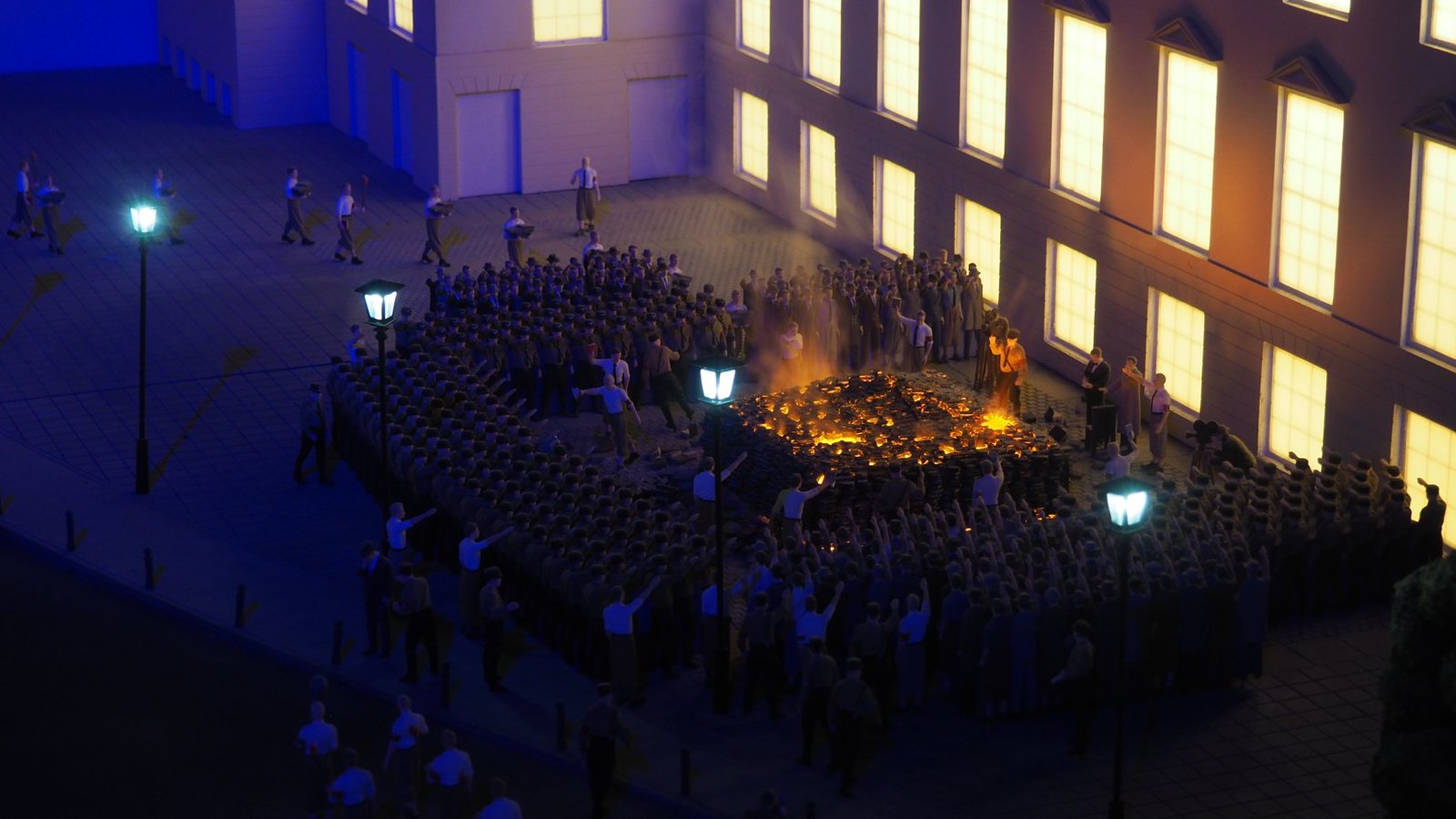
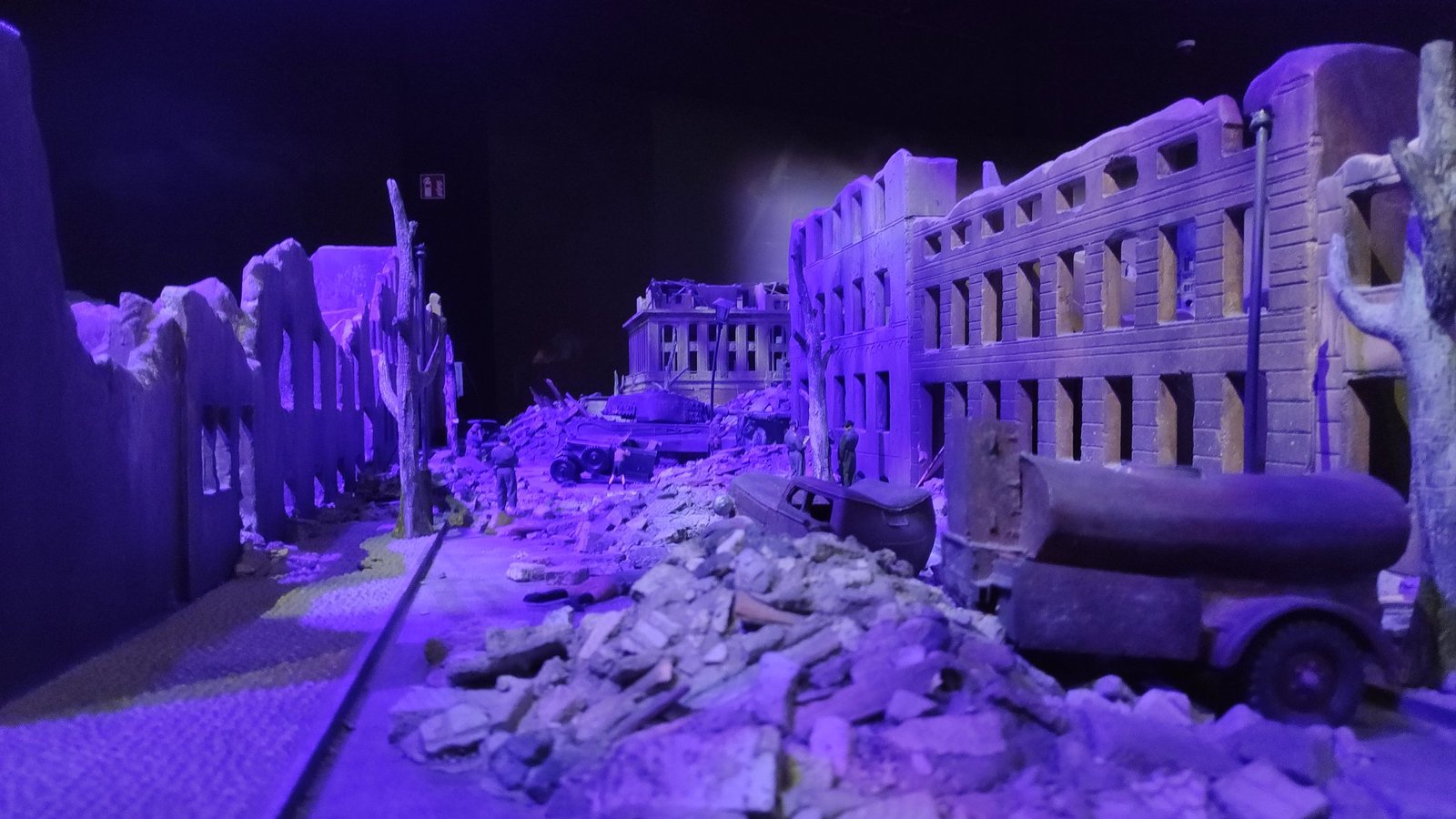
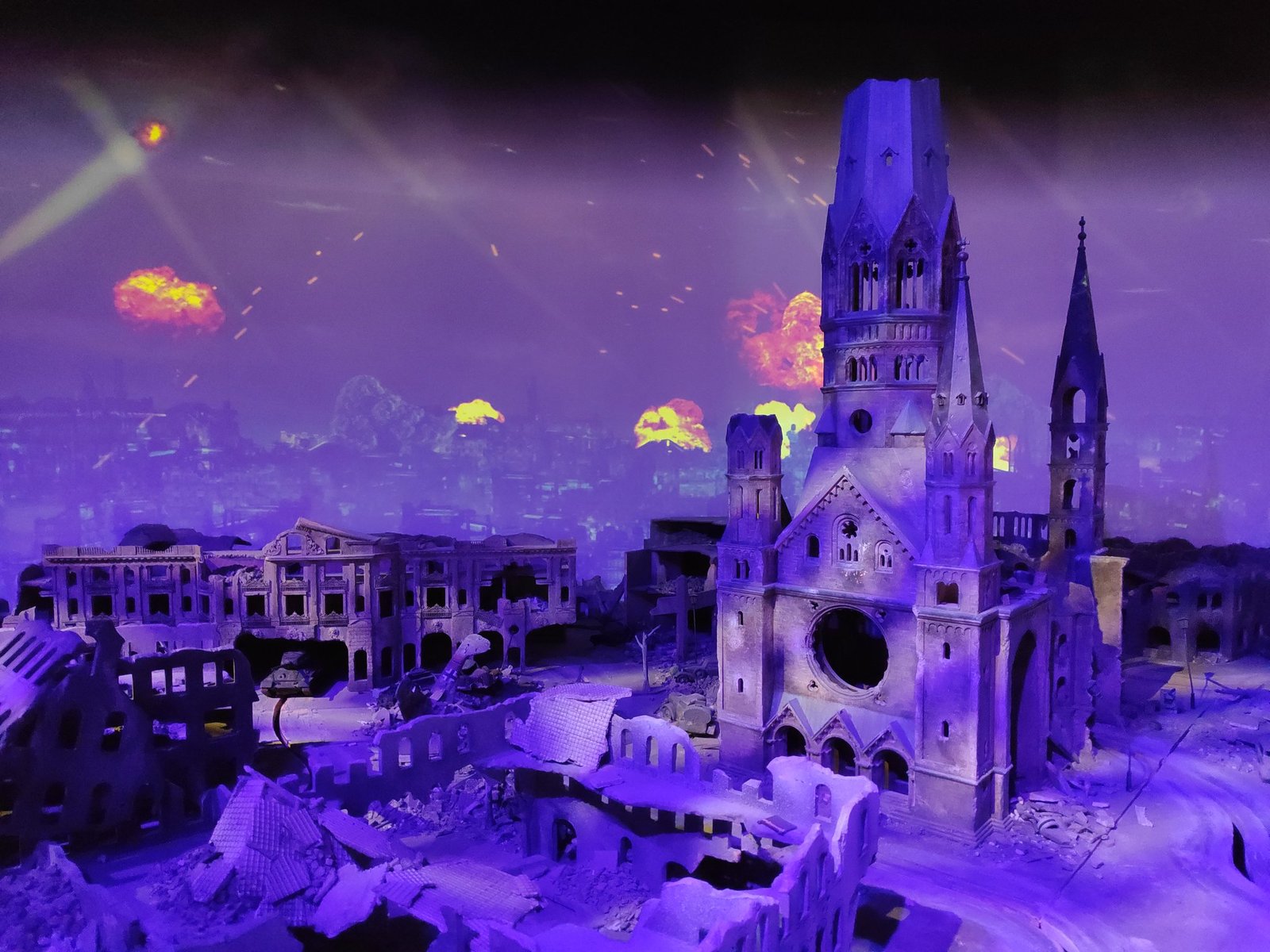
The part about the 1930s and the Second World War made the strongest impression: the Reichstag fire in 1933, the Nazi book burnings, and then the city reduced to rubble. The Kaiser Wilhelm Memorial Church, damaged in the bombing, still stands in Berlin today as a ruin and memorial – and that is exactly how it appears in the model.
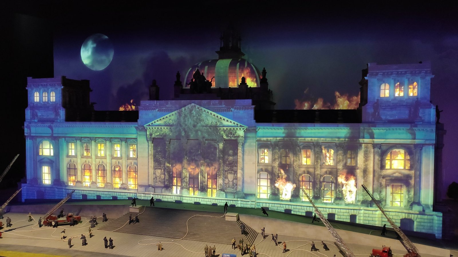
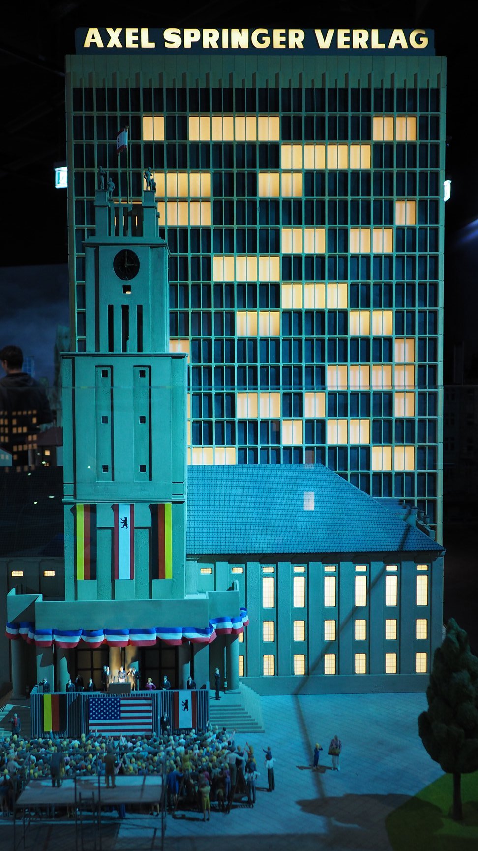
The next models showed the divided city: the building of the wall, the watchtowers, the Checkpoint Charlie border crossing and the celebrations of the GDR’s 40th anniversary in 1989 – just a few weeks before the fall of the wall. On the other side of the border, West Berlin was bustling with life, with its underground station on the Kurfürstendamm.
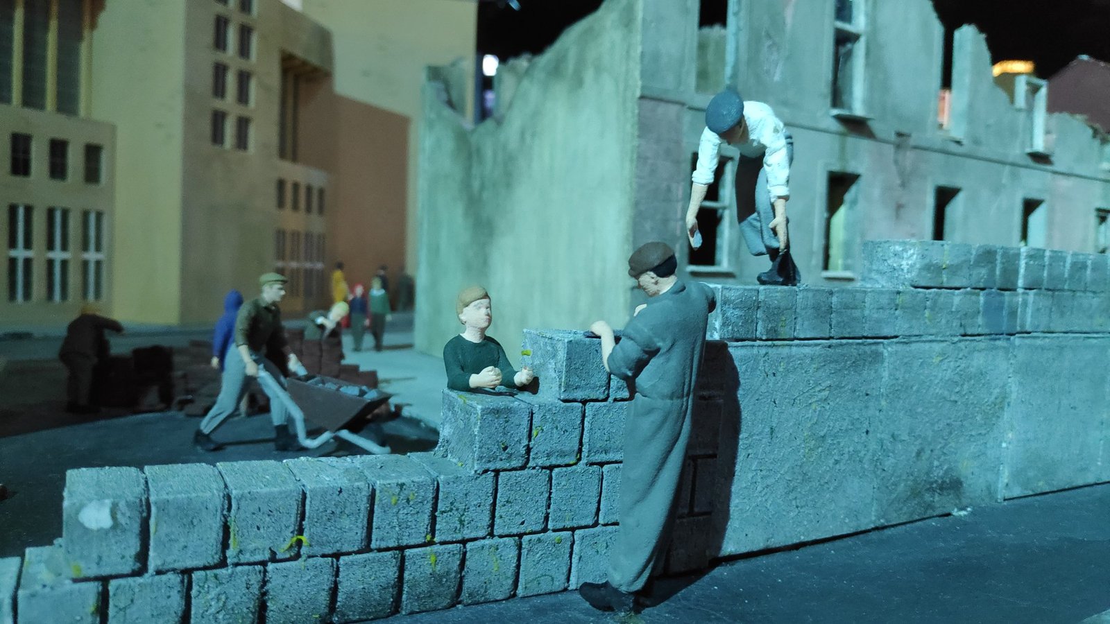
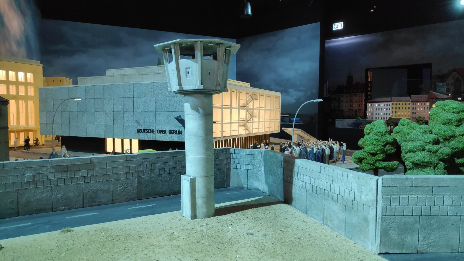
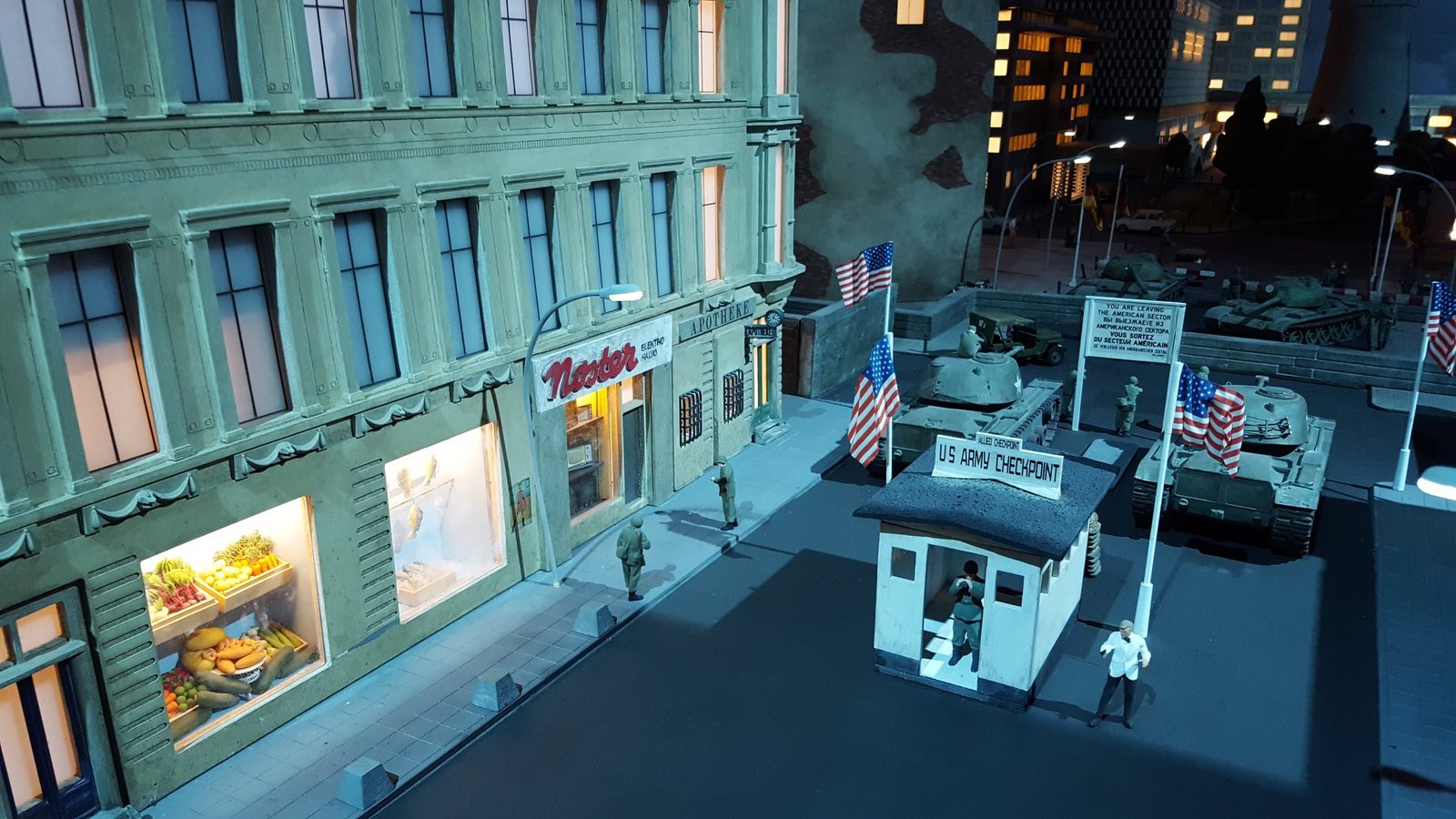
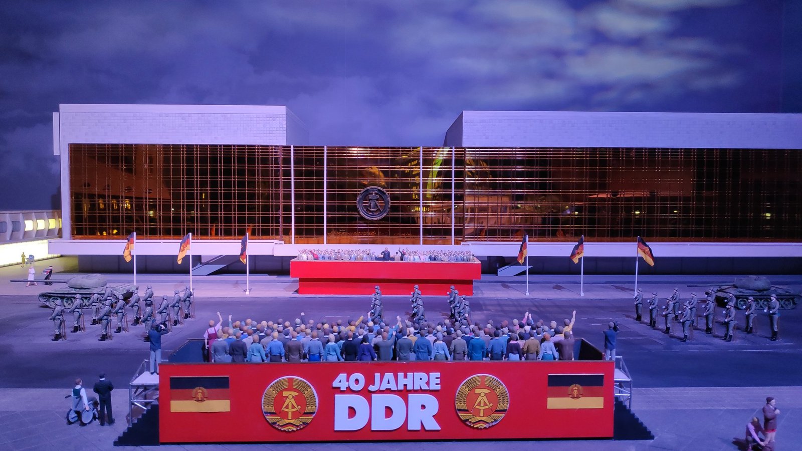
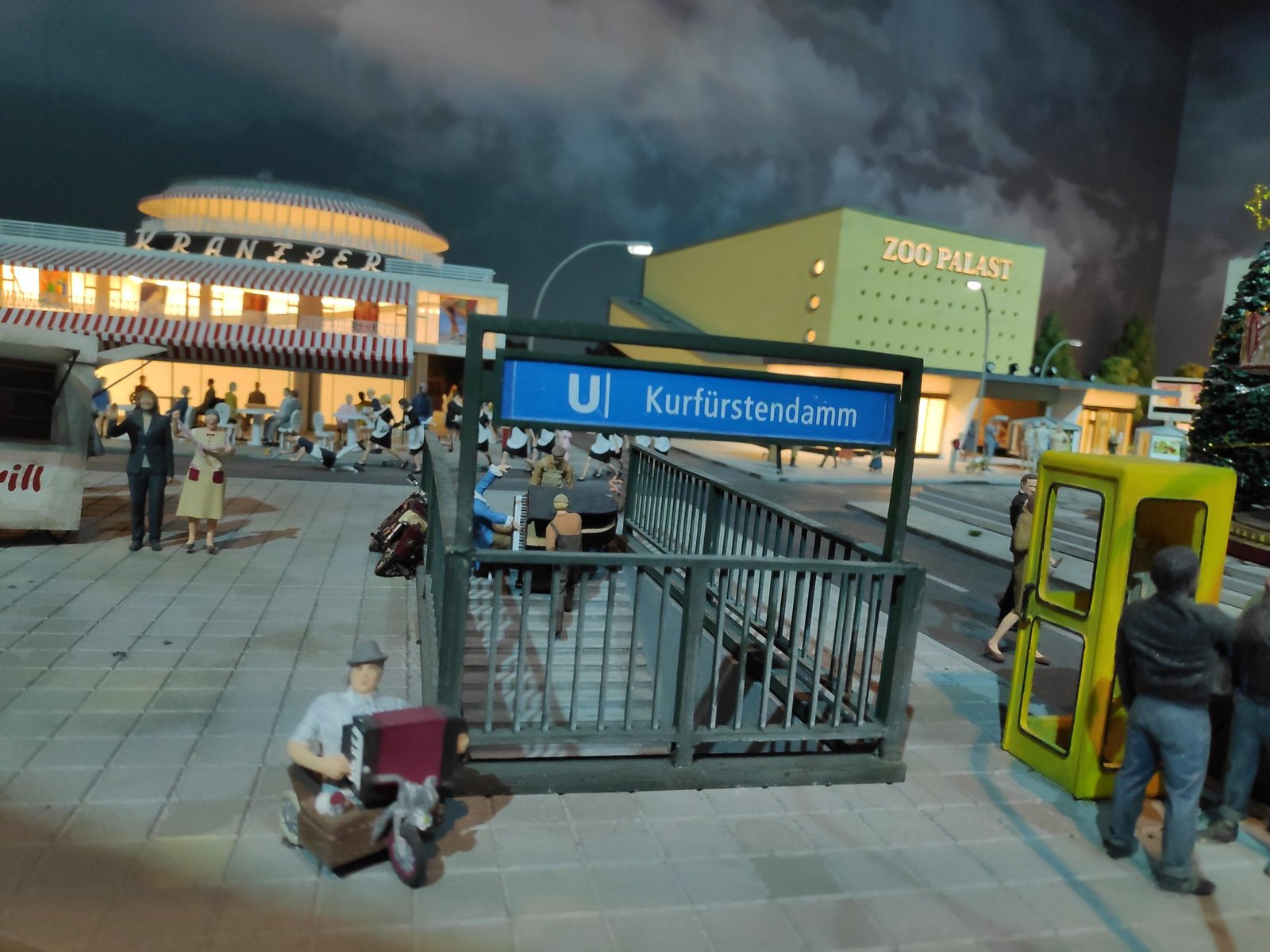
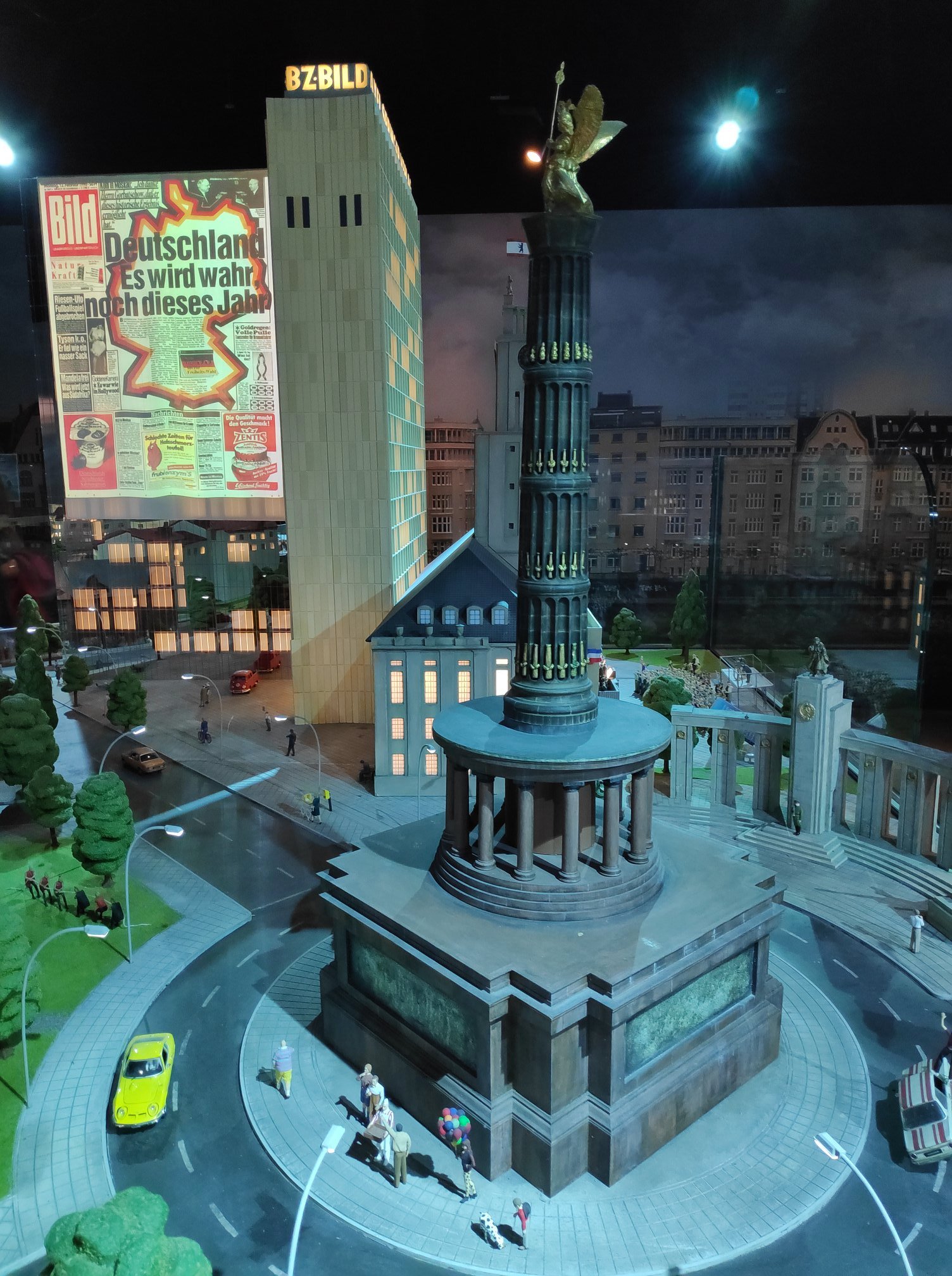
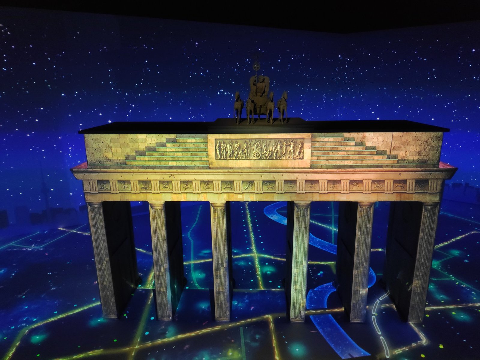
The city’s symbols were there too: the Brandenburg Gate and the Victory Column (Siegessäule), commemorating Prussia’s victories in the wars of 1864–1871. At the end, you could watch the Gate once more in an animation by the exit.
Practical information
- East Side Gallery – Mühlenstraße, between Berlin Ostbahnhof station and Warschauer Straße; it’s a street, so admission is free at any time.
- Berlin Wall Memorial – Bernauer Straße (the nearest station is S-Bahn Nordbahnhof); the outdoor area is free of charge.
- Potsdamer Platz – the wall segments stand by the station exit; on the way it’s worth seeing the Brandenburg Gate and the Reichstag.
- How to combine them – you can see all three places in one day, getting around by S-Bahn and U-Bahn. The map at Bernauer Straße clearly shows where the border ran.
- Checkpoint Charlie – Friedrichstraße, next to the U6 Kochstraße underground station; the open-air exhibition is free and open at all times.
- Little BIG City – the attraction closed in December 2024.
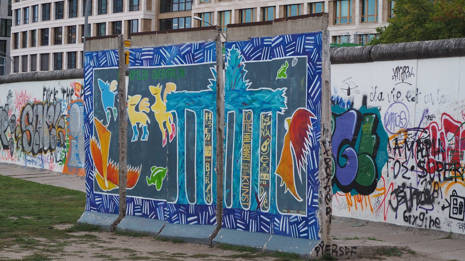
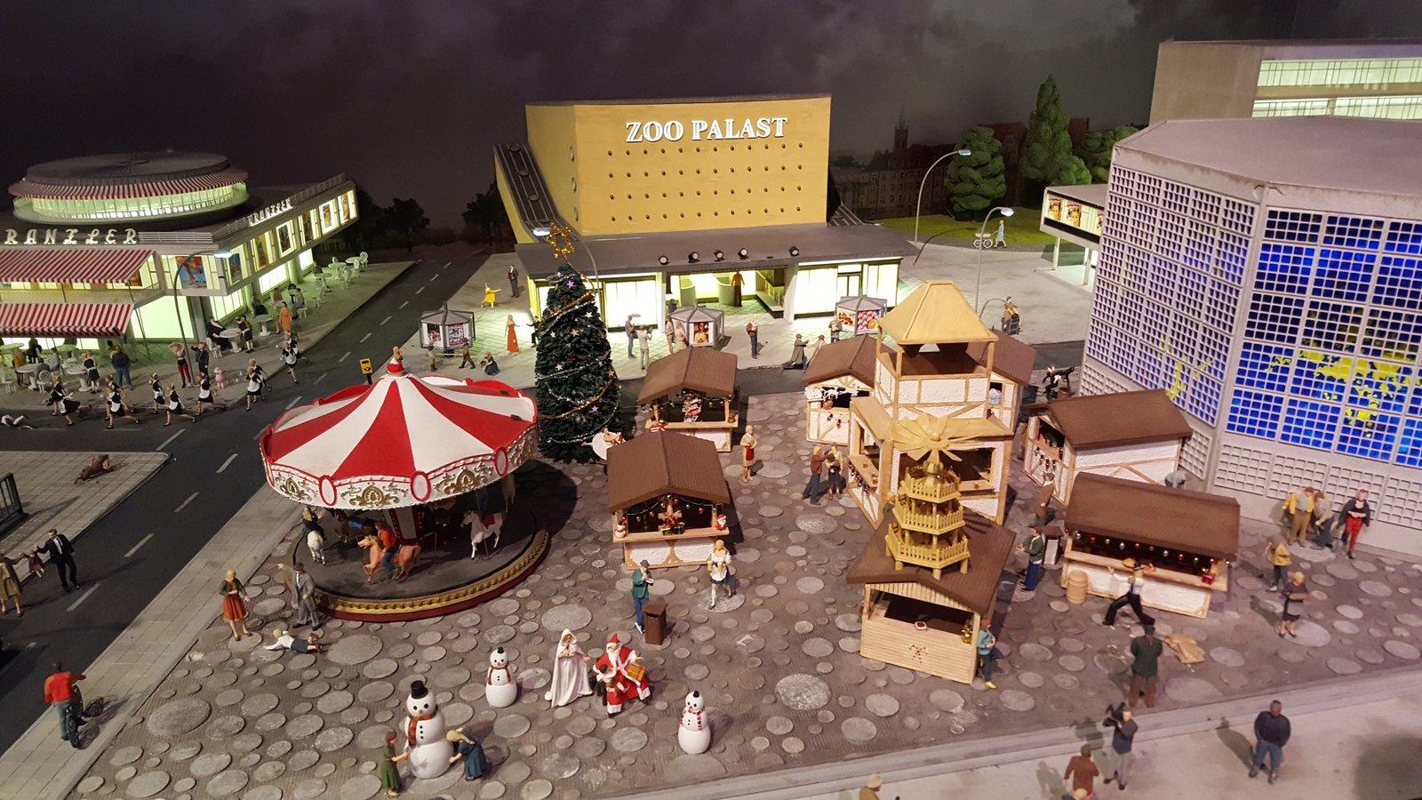
Photo gallery