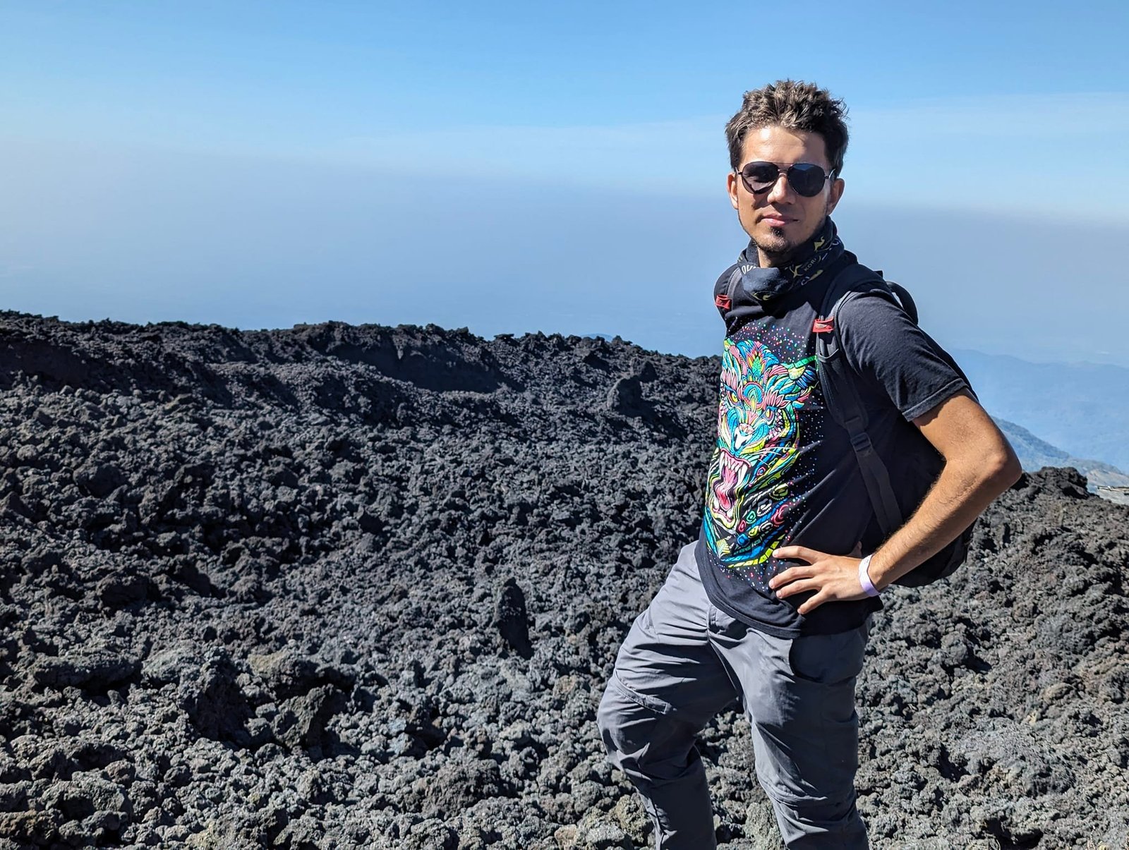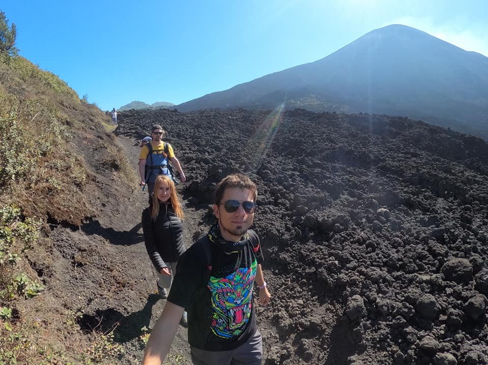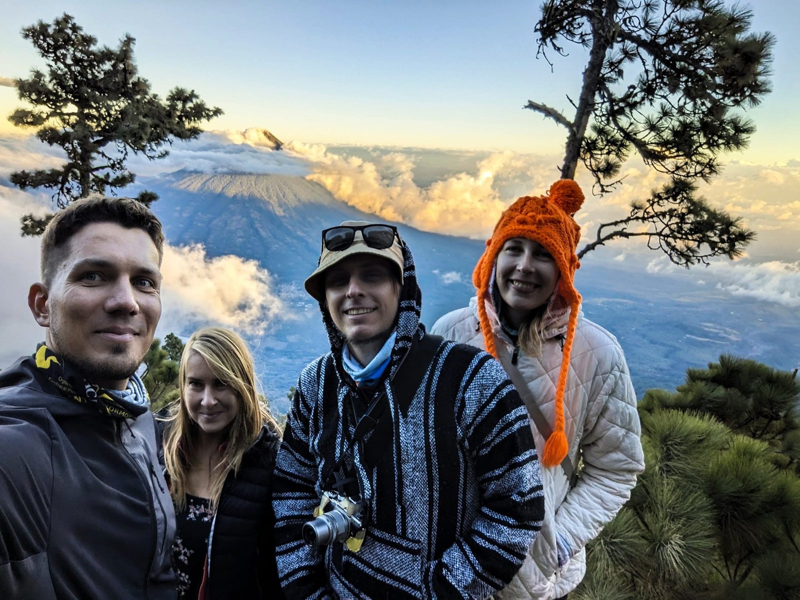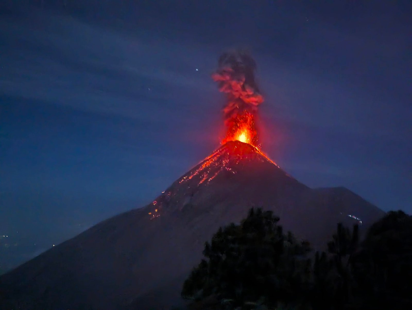
In January 2024 we were living in Antigua Guatemala – we were learning Spanish there, and before that we had spent Christmas in the city. Antigua lies at the foot of three volcanoes: Agua, Fuego and Acatenango, and a little further away rises a fourth – Pacaya. Fuego (3763 m) is the most active volcano in Central America: it erupts practically every 15–30 minutes, and the best place to watch its eruptions is neighbouring Acatenango (3976 m). As a warm-up, on 7 January we went to Pacaya, and two weeks later, on 20–21 January, together with Alicja and Michał we set off on a two-day trip to Acatenango – with a night facing an erupting Fuego, but without the summit. A short overview of all the volcanoes we climbed in Guatemala is in the post Volcanoes of Guatemala.
 11:46
Table of contents
- Pacaya – a tour from Antigua
- The viewpoint below the crater
- Marshmallows over lava in the Cerro Chino crater
- Acatenango – organisation and costs
- The climb to the camp
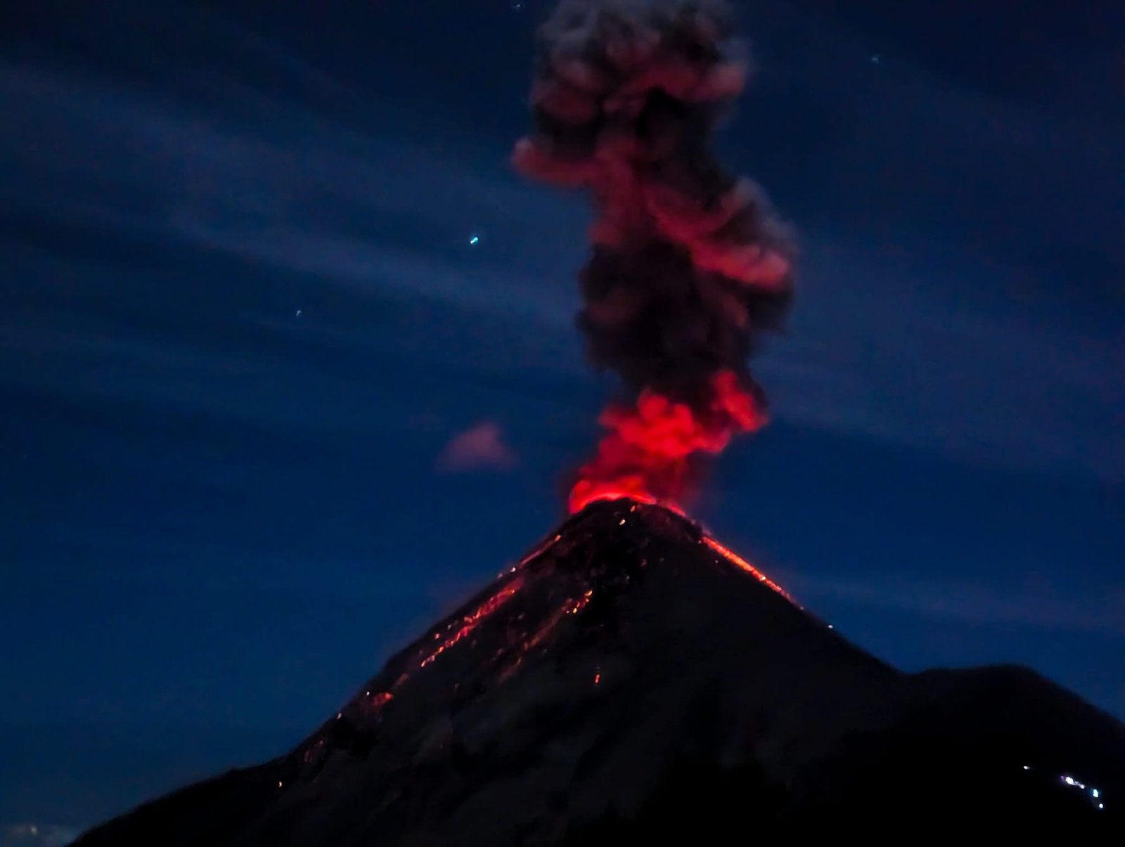
- Fuego’s eruptions
- A night at the camp
- A morning without the summit
- Practical information
Pacaya – a tour from Antigua
Pacaya (2552 m) is one of Guatemala’s 37 volcanoes (all of them in the south of the country) and one of the three that are permanently active – alongside Fuego and Santiaguito – although today its activity is mostly heat and gases, and eruptions are rare. We would have loved to go to Pacaya on our own, but the prospect of a long journey with two changes on chicken buses talked us into a tour. For 125 Q (about €15) – the cheapest offer in Antigua – we got a return minibus (departure at 6:00, back at 13:00), a guide and marshmallows (more about them in a moment). Entry to the national park cost an extra 100 Q (about €12). You can’t go up without a guide anyway.
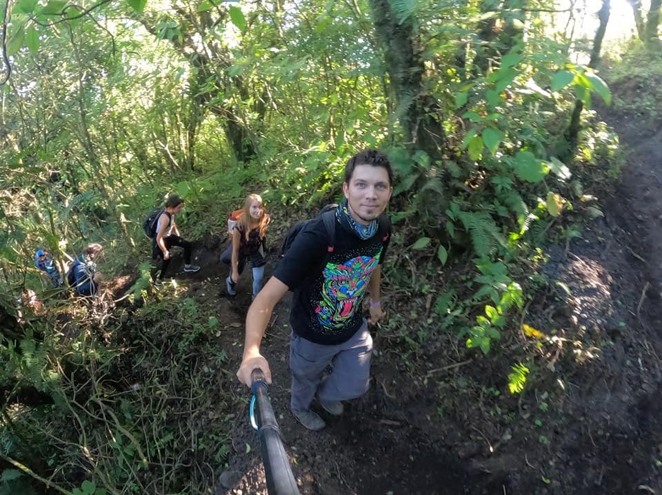
The route is simple – it’s hard to get lost – and technically easy. For several years it has also been safe, with no robberies: every morning and afternoon many guided groups walk the same paths, and you can meet park rangers along the way. First you walk through forest, then you come out onto open slopes.
The viewpoint below the crater
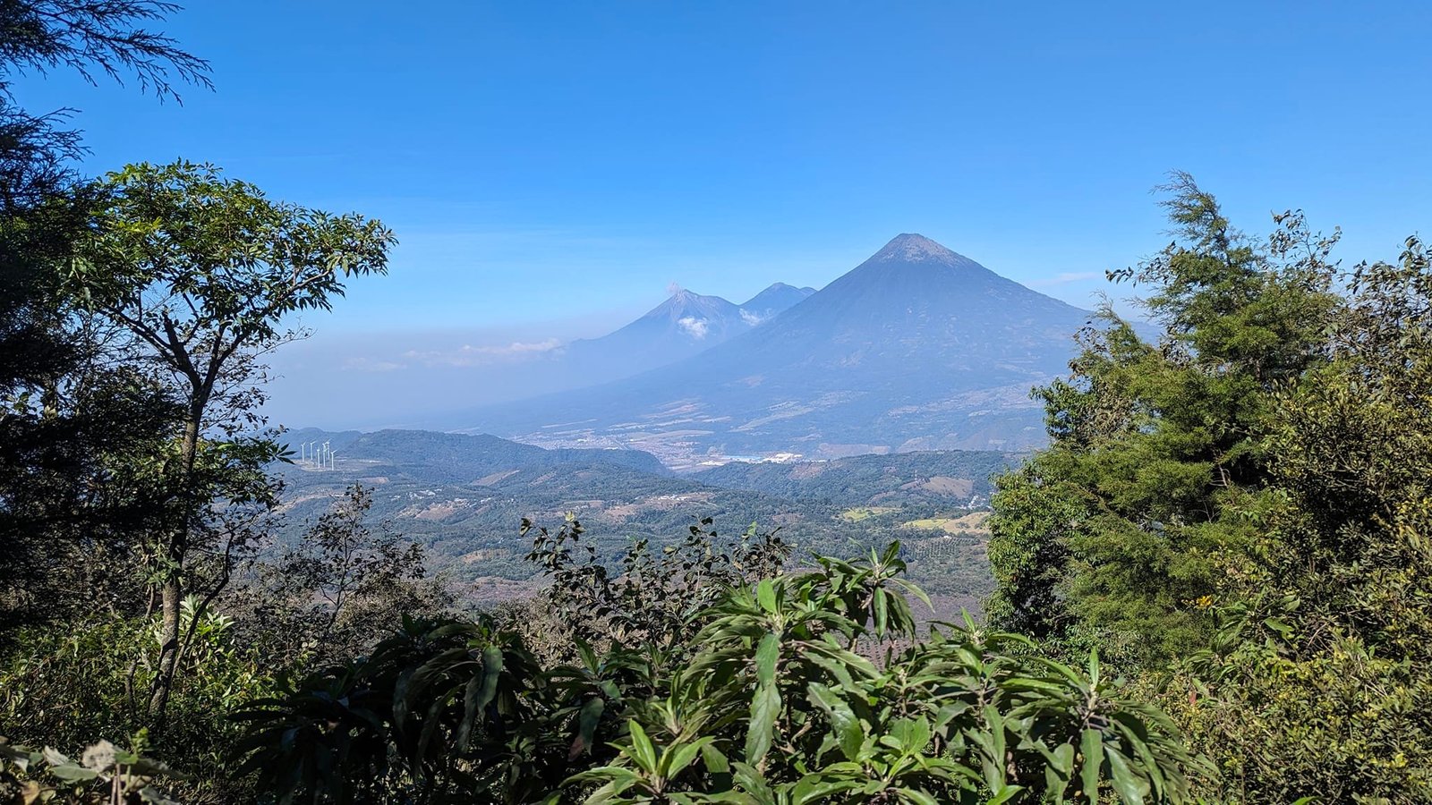
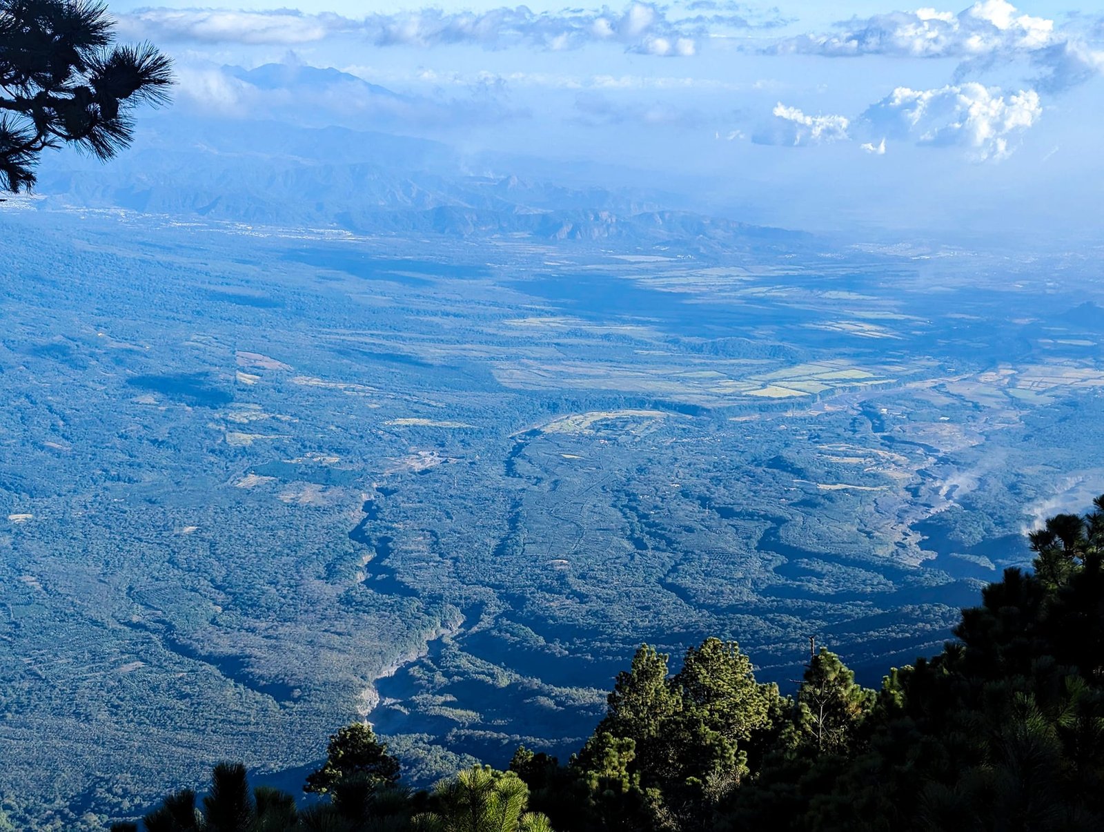
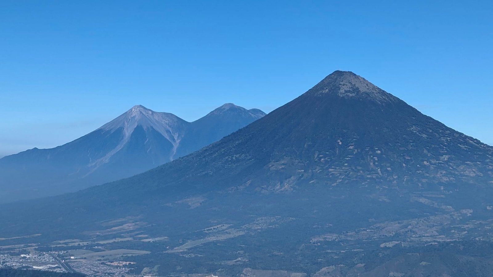
You can’t climb to the summit itself. Pacaya is still active – escaping gases and an unexpected eruption are a real danger, and tourists have died here in past years. So the tours end at a viewpoint at 2297 m, about 400 m higher than the start. From here you can see the cone of Pacaya and, on the other side, the three other volcanoes in the area: Agua, Fuego and Acatenango.
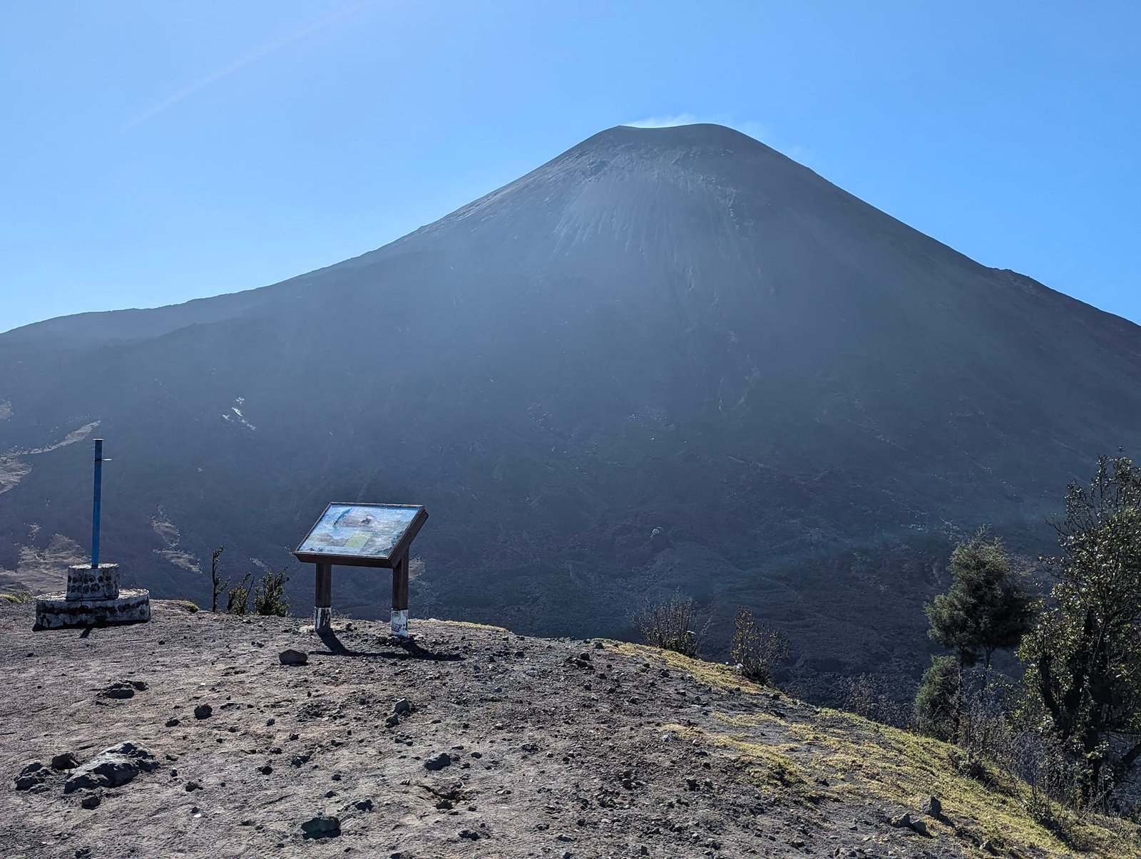
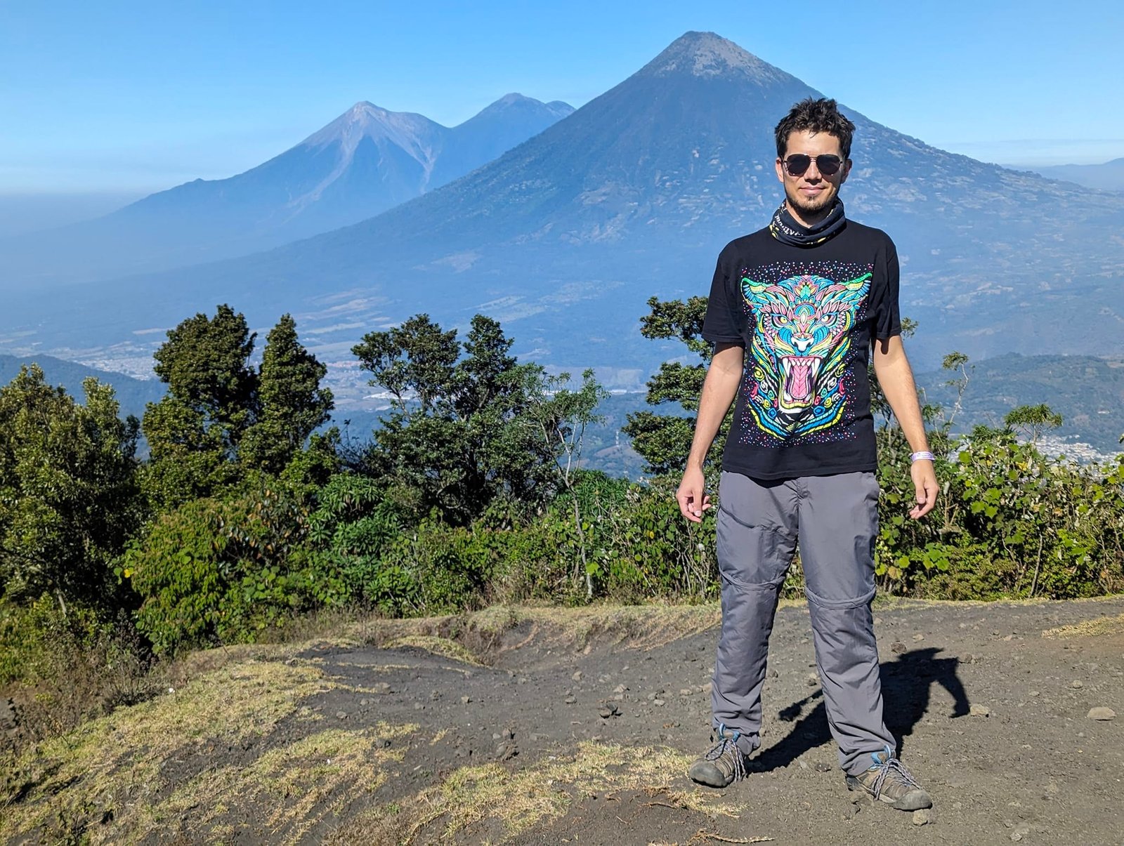
Because of the position of the sun and the humidity, we saw the volcanoes a bit as if through a haze. The views were nice, but we had expected something more – we were left slightly unsatisfied, a feeling that only Acatenango would put right.
Marshmallows over lava in the Cerro Chino crater
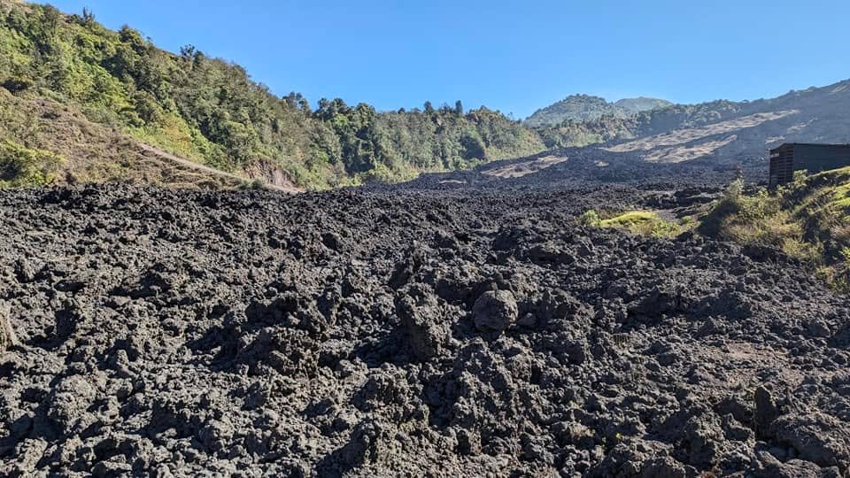
From the viewpoint it’s about 10 minutes down to the old, roughly 800-year-old crater of Cerro Chino. It’s full of solidified lava – mostly from the 2014 eruption – which still gives off heat. A fixed part of every guided tour is roasting marshmallows over cracks in the lava. It sounds spectacular, but in practice it’s hardened lava with a good deal of heat underneath.
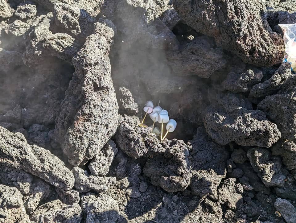
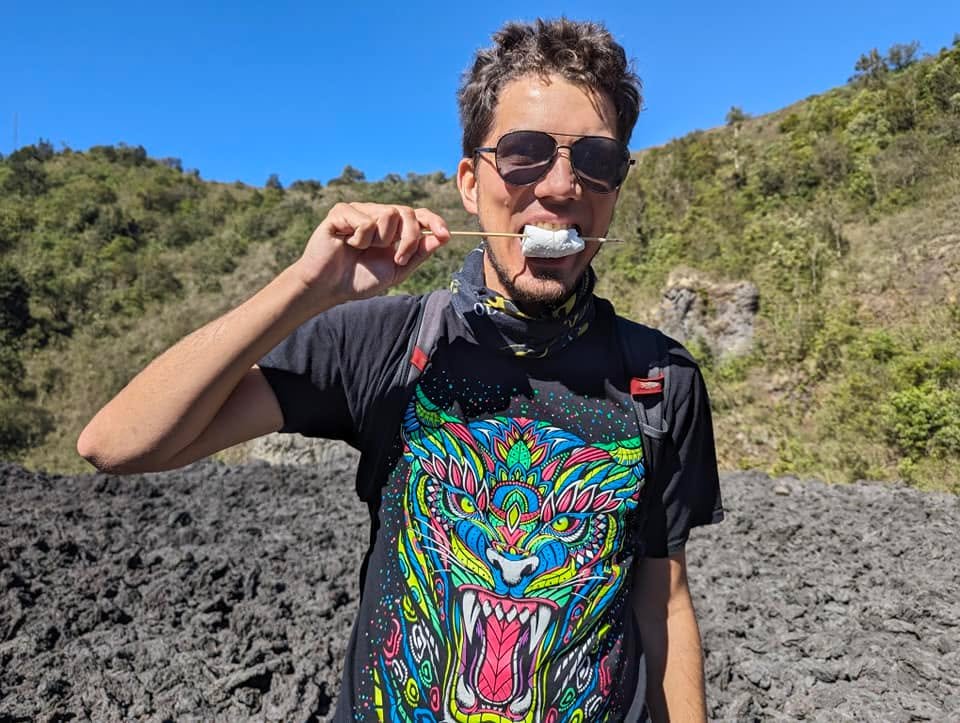
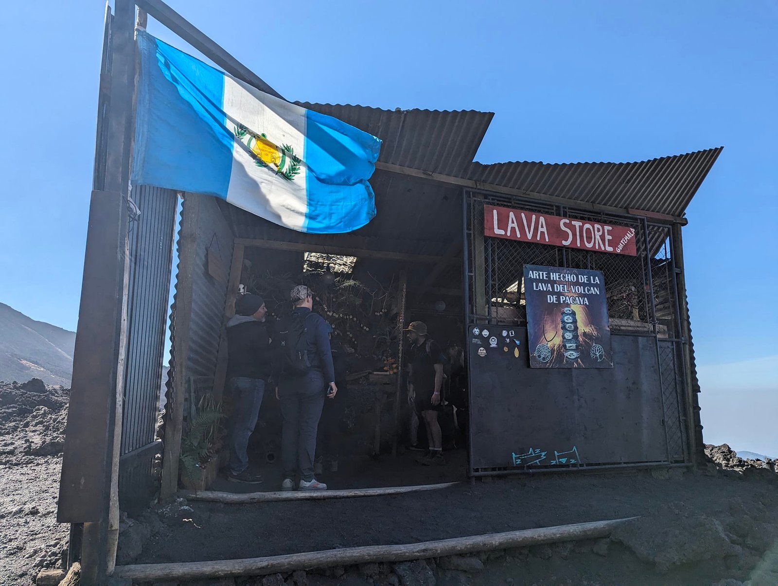
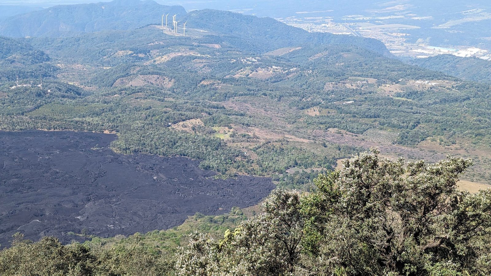
We were told that just two years earlier there was so much heat that you could bake a pizza here. You can still order pizza on the mountain (for more than €23), but with the volcano less active it’s baked with the help of charcoal. On the way back you walk across the 2014 lava field – from above you can clearly see how a black tongue of solidified lava poured between the green hills.
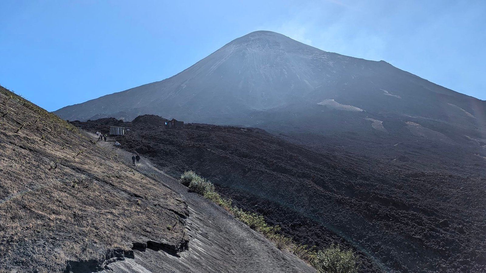
The whole tour went like this: an hour up, 20 minutes at the viewpoint, 10 minutes down to the crater, 20 minutes for marshmallows and a short history of the volcano, an hour down – about 3 hours in total.
 5:44
Acatenango – organisation and costs
Climbing Acatenango with a night below the summit and watching Fuego erupt is probably the top goal of many backpackers in Guatemala – loads of tours run here every day. It’s hard to go on your own, because getting there is long and complicated, so like almost everyone we booked an organised tour. We paid 300 Q per person plus 100 Q for the national park entrance (January 2024). The cheapest offers we saw later were 250 Q + 100 Q. Every agency added 100 Q for the park, even though the sign at the entrance said foreigners pay 50 Q – we don’t know whether the sign was out of date or the agencies pocket the difference.
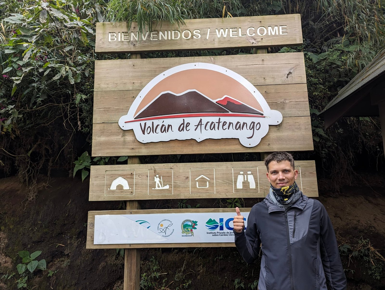
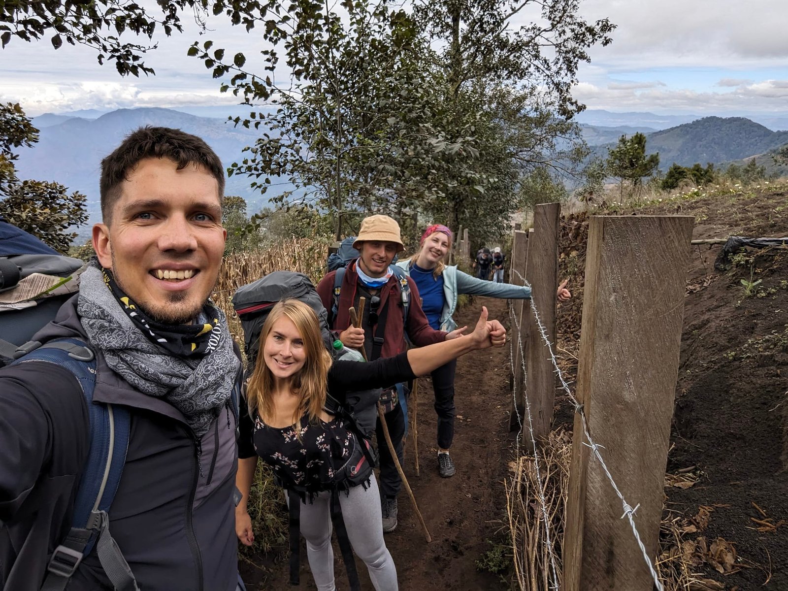
On Saturday 20 January the minibus picked us up in Antigua at 9:00, but then it drove around the town collecting the rest of the group (everyone was staying close to each other – it would have made more sense to meet in one place), and finally we also went to rent warm clothes that looked a bit like they came from a second-hand shop. Altogether we lost an hour and a half. There were about 20 of us and 3 guides; at the start you could rent trekking poles.
The climb to the camp
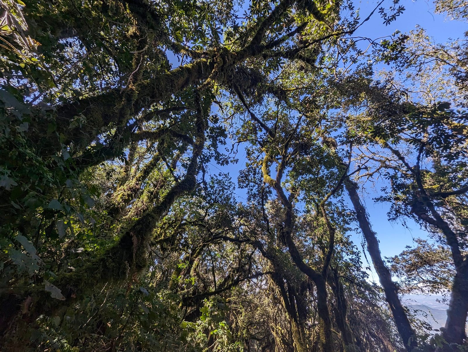
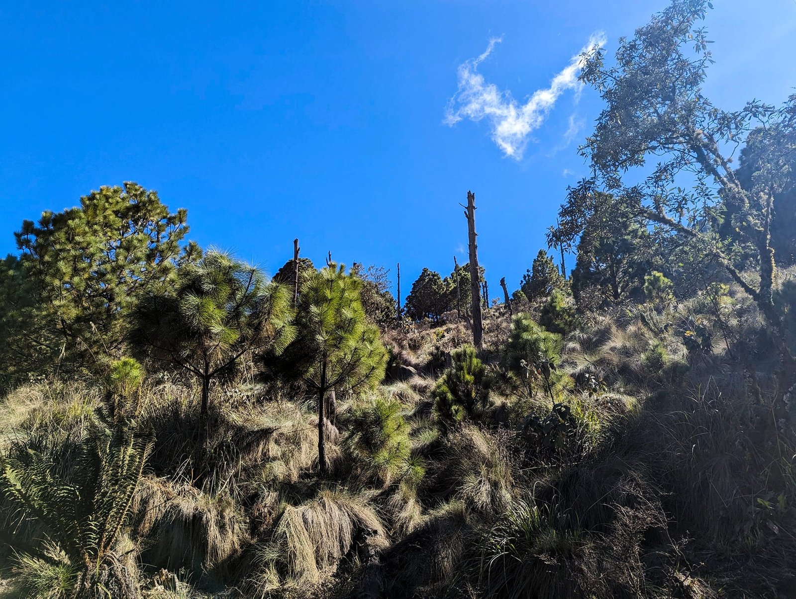
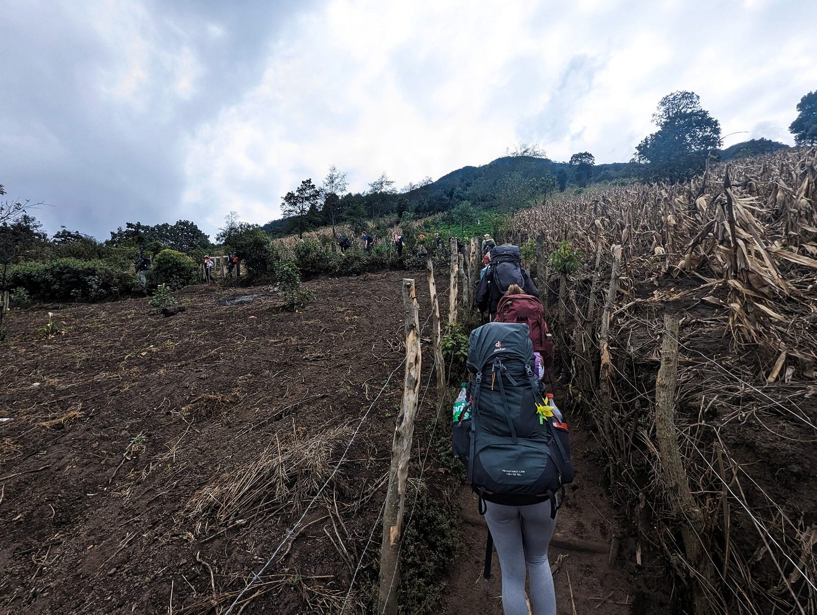
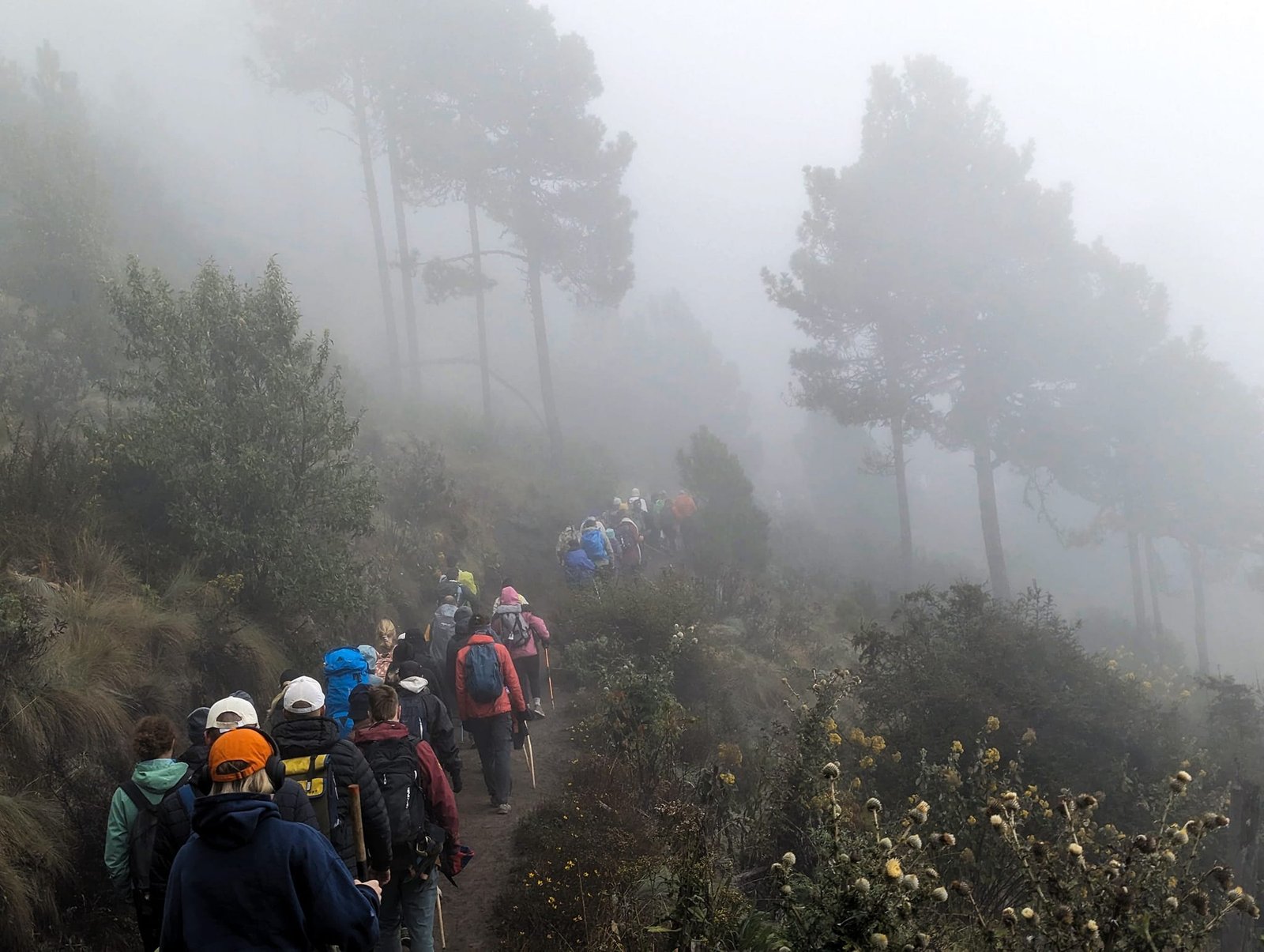
We started walking at about 11:30 at an altitude of about 2400 m. Ahead of us to the camp (the so-called base camp, about 3600 m) lay 8 km of steep climbing, often on loose sand, and about 1200 m of elevation gain. The first section runs through fields, then you enter the forest.
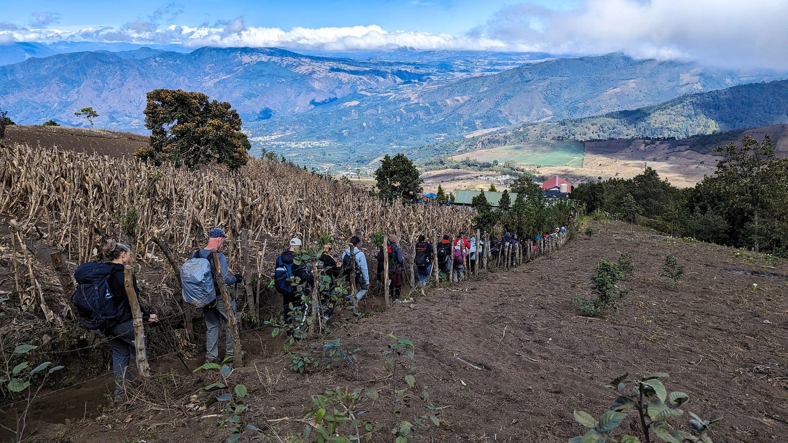
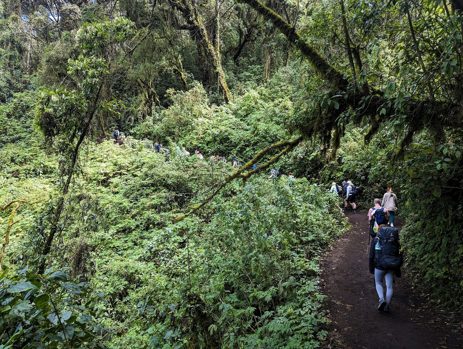
Our backpacks were heavy. Everyone had to carry 4 litres of water – for the way up, but also for dinner and breakfast. On top of that we took our own sleeping bags (we weren’t sure about the ones at the camp), warm clothes for the night and morning, and the meals we had been given by the company. The group walked at a brisk pace; we took regular breaks, which were a relief for our backs and legs, but we were still at the back the whole time and it got harder with every hour.
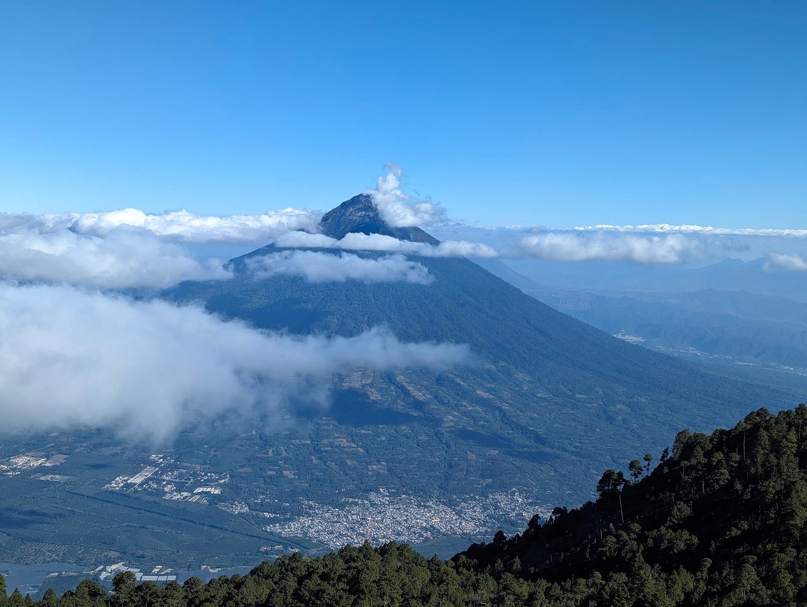
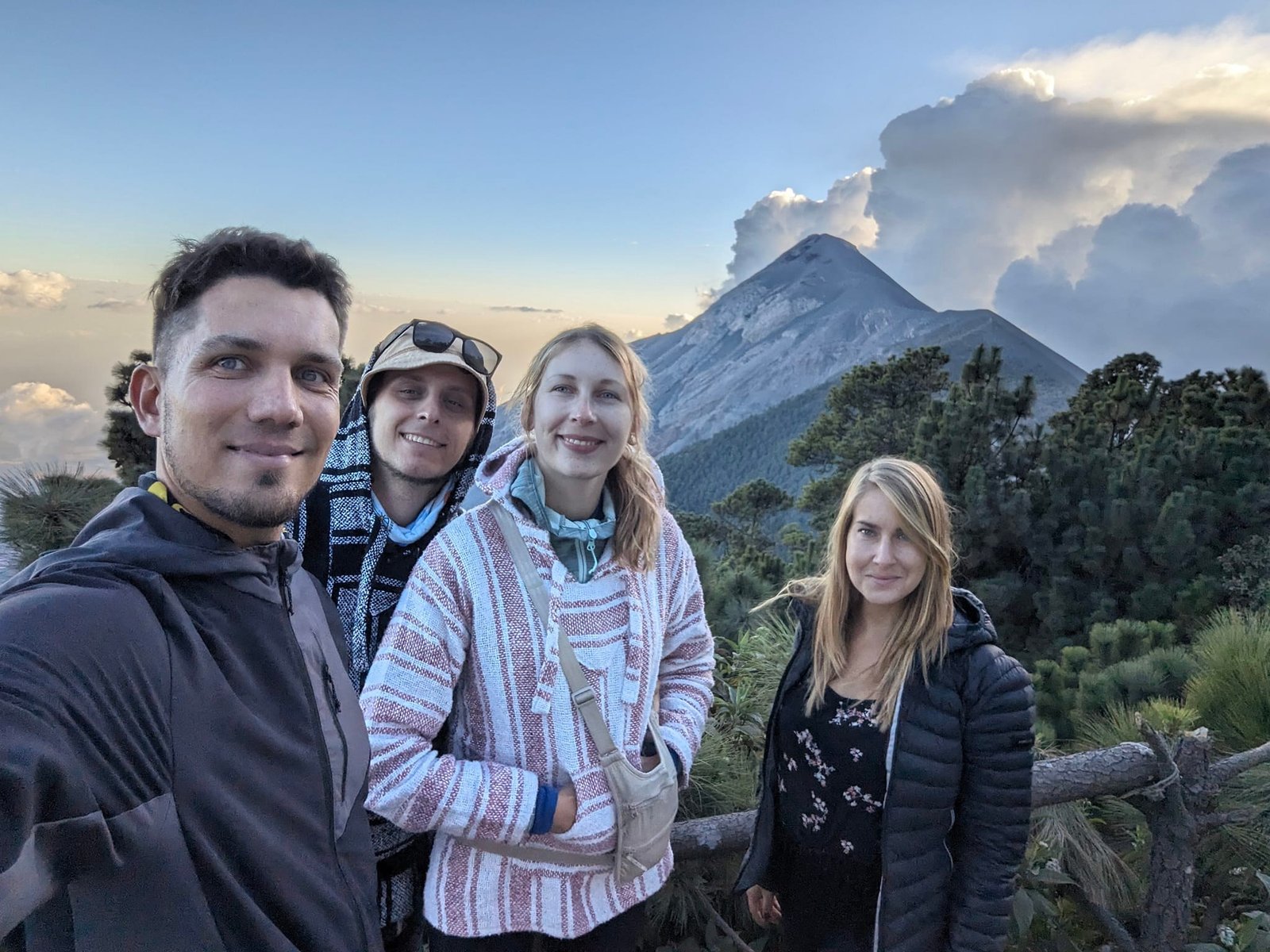
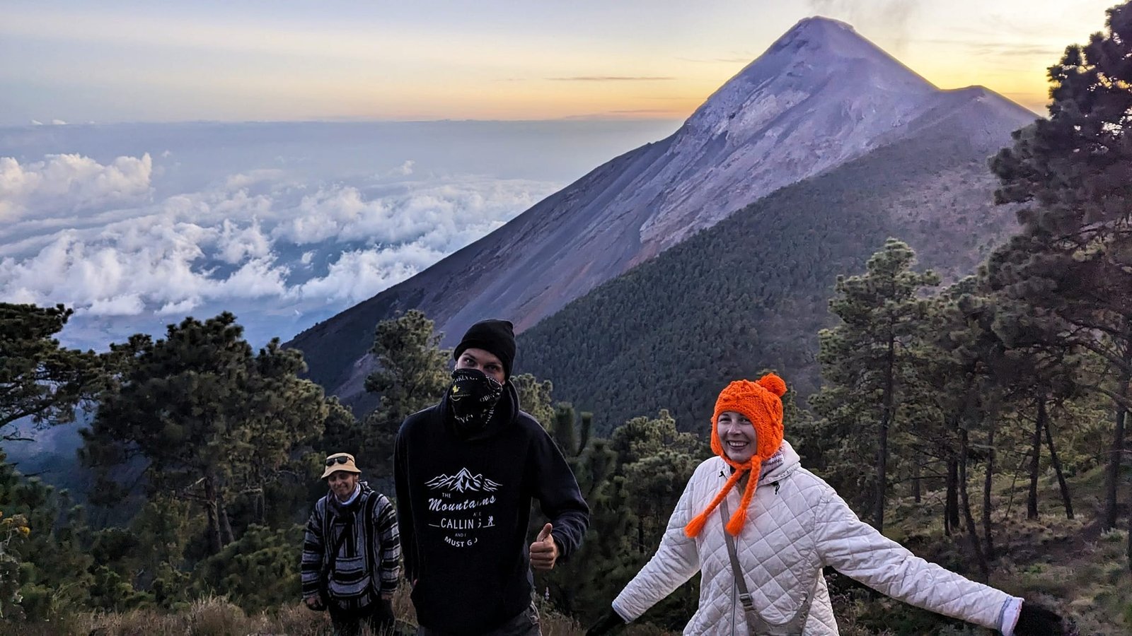
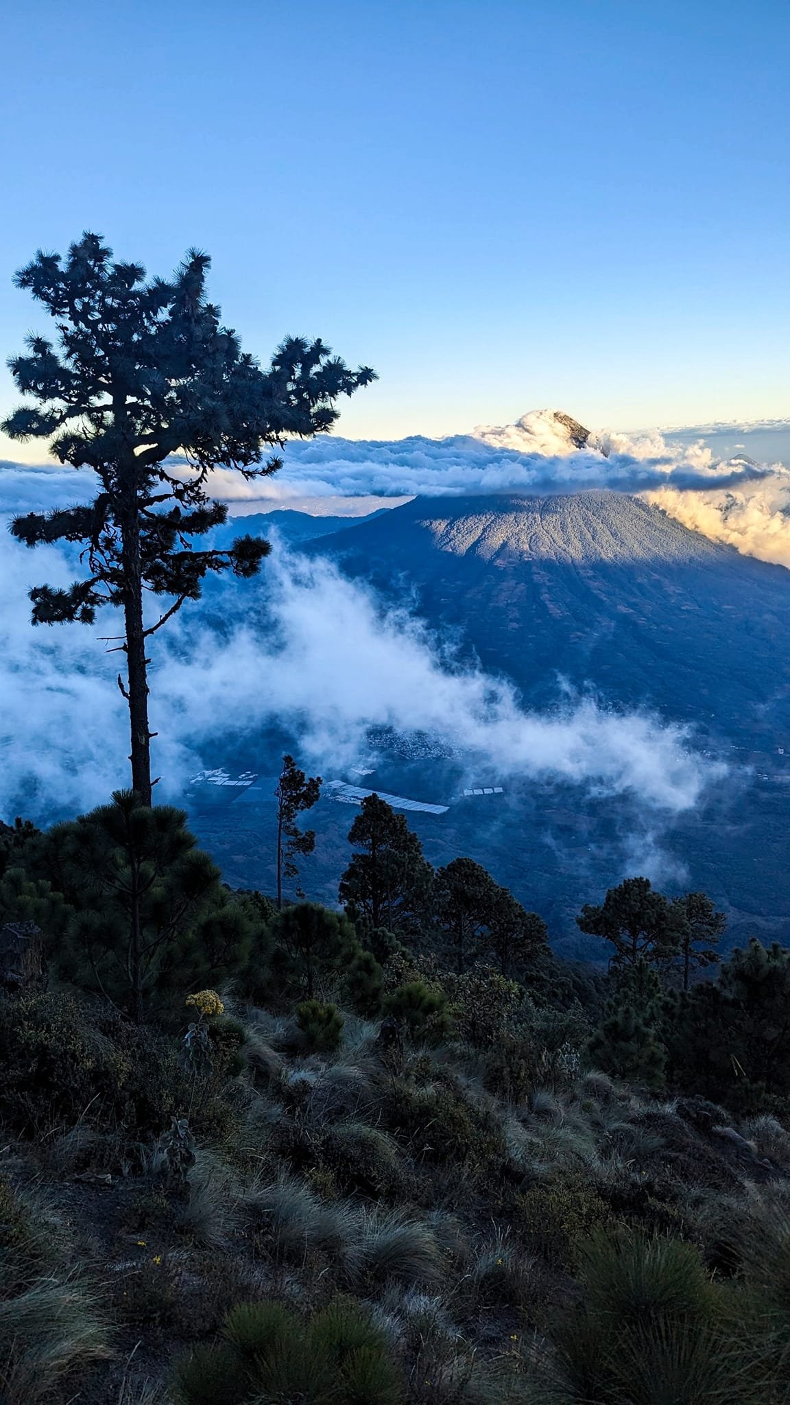
What worried us most was the weather. Unlike the previous days, Saturday greeted us with clouds and the volcanoes couldn’t be seen at all. In the forest it didn’t matter that much, and higher up it luckily cleared and Agua and Fuego came into view.
Fuego’s eruptions
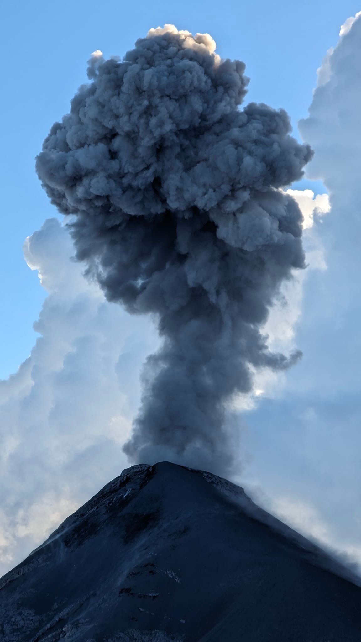
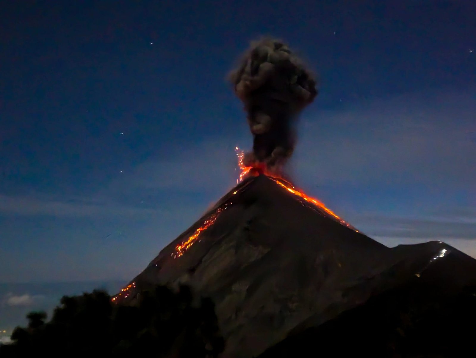
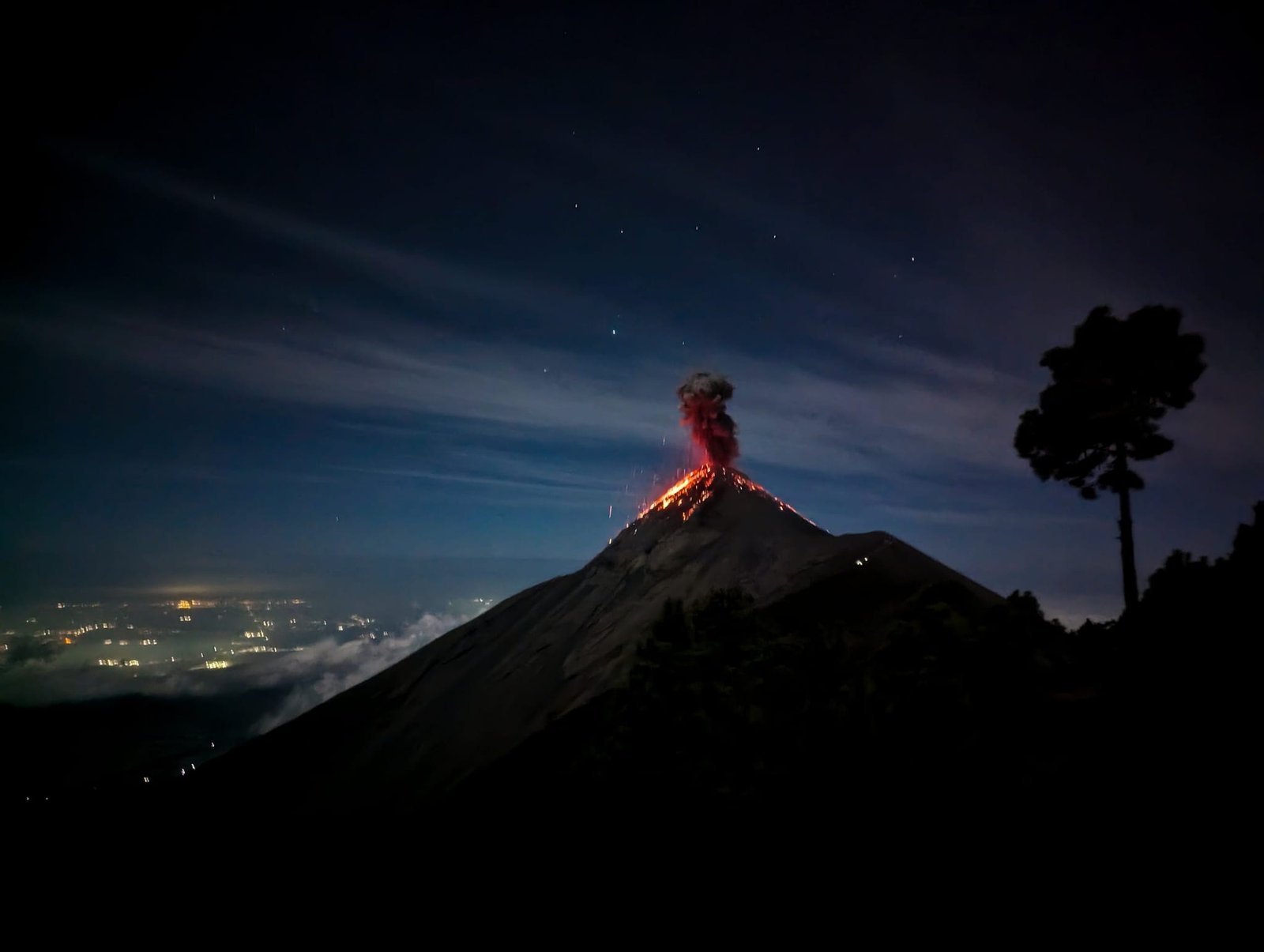
From our camp we looked straight at Fuego. During the day the volcano throws out clouds of steam and ash, and after dark you can see the glowing lava running down its slopes very clearly. It was the first time in our lives that we watched a volcanic eruption live – one of our best memories of Guatemala. Fuego can be dangerous: its last big eruption, in 2018, claimed many lives.
Shortly after reaching the camp, for an extra 200 Q (about €24), you could go with a guide closer to Fuego to watch the eruptions from a short (but “safe”) distance – about 4 hours there and back. We skipped it to save our strength for the summit push on Acatenango the next morning. Most of our group went and came back exhausted. In our opinion the Fuego hike isn’t well planned: right after you get back you go to sleep, and the night is short. Had we known how the morning would end, we would have gone to Fuego too.
A night at the camp
We slept in fabric cabins for 6 people – everyone had a basic mattress and a sleeping bag. Next to them were benches from which we watched the volcano, and a bit further away a makeshift toilet (you wash your hands with your own water). At night it was very cold outside.
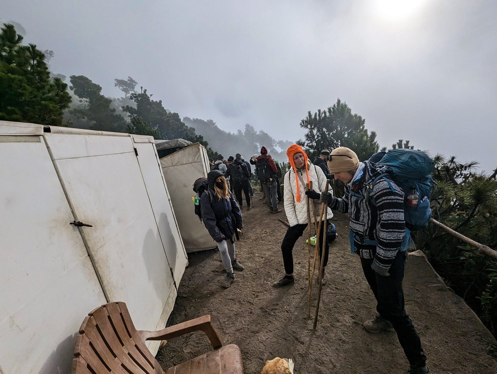
The price included three meals: a burrito for lunch, pasta with sauce for dinner, and for breakfast a bread roll with scrambled eggs and hot chocolate (made with our water). Everything was heated over a fire, but – unlike at other camps, where it burned outside – the fire was in a closed, poorly ventilated room. The smoke stung our eyes and it was hard to breathe, so you couldn’t stay in there for long.
A morning without the summit
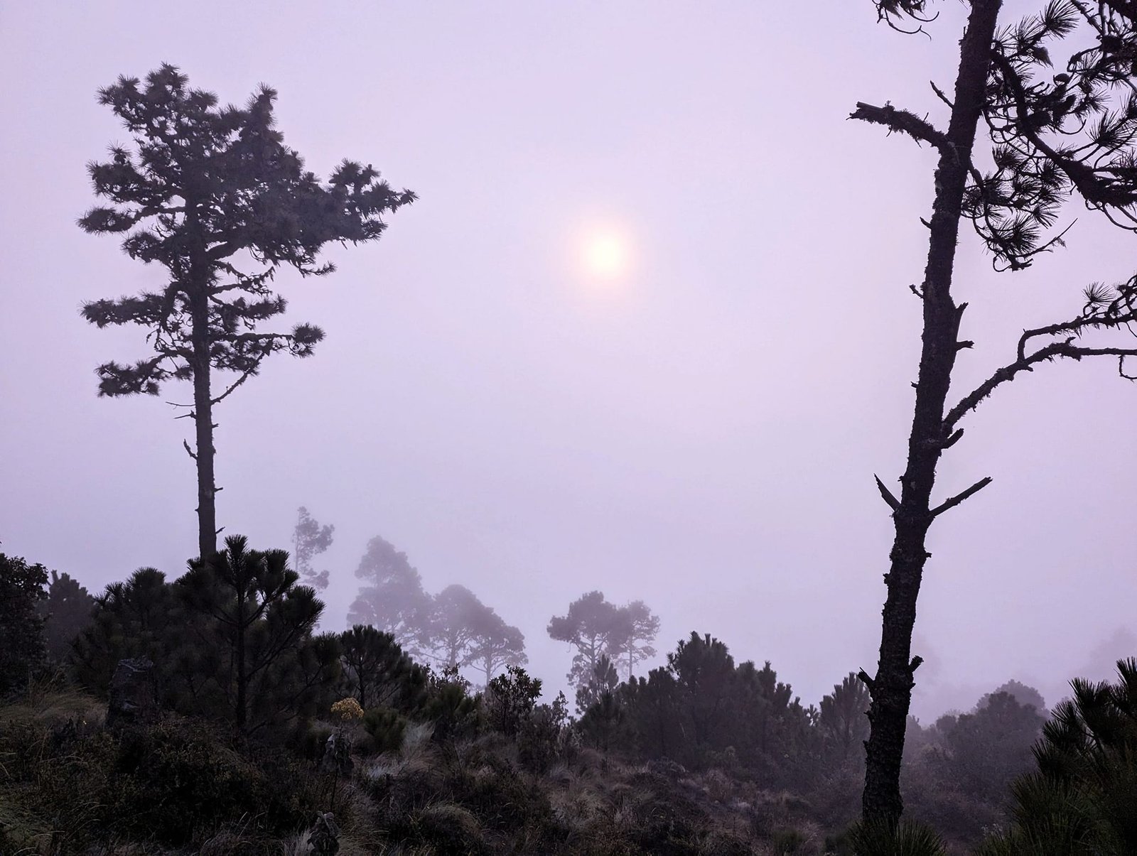
You set off for the summit at 4:00 to make it in time for sunrise. Just before that, clouds rolled in. At first the guides said you couldn’t see anything, then that it was dangerous and they weren’t going. It’s true that you couldn’t see much between the trees, but in our opinion enough to go, and 400 metres higher it could have been completely different. Out of the whole group, only the four of us got up. The rest, exhausted by the Fuego hike and at most six hours of sleep, took the news calmly, maybe even with relief.
We started negotiating. We could see the head torches of other groups going up, but the guides insisted these were people walking around the camp. In the end they agreed – or at least that’s how we understood it – and filmed us saying that we were going at our own risk. Then they went off somewhere, and we waited for them to come back. Only later did we realise that what they meant was for the four of us to climb to the summit on our own, without breakfast, and then walk all the way down to the minibus by ourselves. Nobody told us this clearly. In the end we didn’t reach the summit, while some people from other groups made it to the top that morning.
Most tours normally go up to the top, and just the day before the visibility up there had been excellent – we were simply unlucky. We were disappointed: we missed a sunrise in an incredible place and the chance to climb the highest peak of our lives (our record was still South Teton, 3814 m). On Sunday we went back down the same way – on the loose slope it was hard not to slip.
From Antigua we went to Lake Atitlán (the San Pedro and Atitlán volcanoes), and then to Quetzaltenango, from where we climbed Santa María and Tajumulco.
Practical information
- Pacaya – a tour from Antigua from 125 Q (about €15; transport, guide and marshmallows) + park entrance 100 Q (about €12), January 2024. Departure at 6:00, back at 13:00. About 400 m of elevation gain to the viewpoint (2297 m), about 3 hours in total; an easy route.
- Acatenango – a two-day tour for 300 Q + 100 Q for the park (January 2024; the cheapest we saw was 250 Q + 100 Q). Start at about 2400 m, camp at about 3600 m: 8 km and about 1200 m of elevation gain. Summit push at 4:00 a.m., about 400 m higher.
- Hike towards Fuego – an extra 200 Q (about €24), about 4 hours there and back right after reaching the camp. Afterwards there’s little time left to sleep before the summit push.
- What to take on Acatenango – 4 litres of water per person, warm clothes for the night and morning (you can rent warm clothing before the hike), trekking poles (also for rent). Your own sleeping bag – if you don’t trust the ones at the camp.
- Weather – clouds can roll in suddenly, even at night. Nobody guarantees the summit or the sunrise.
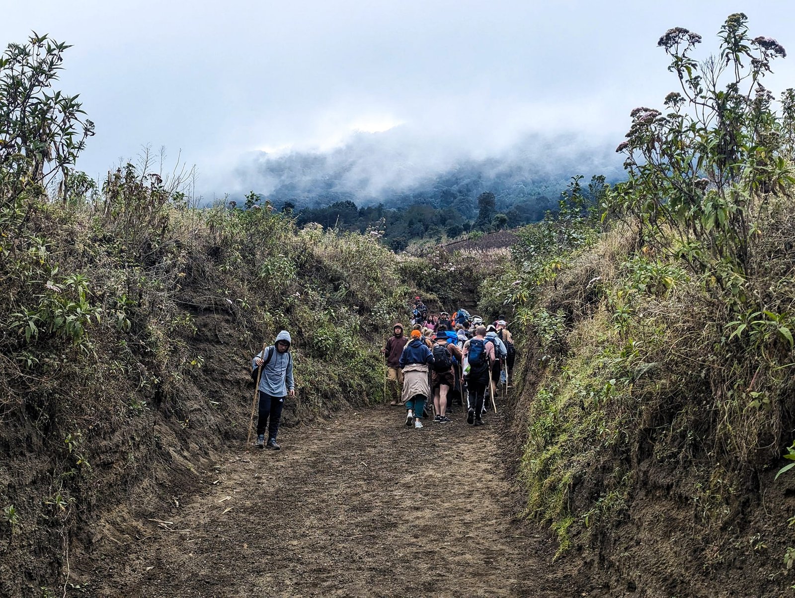
Photo gallery