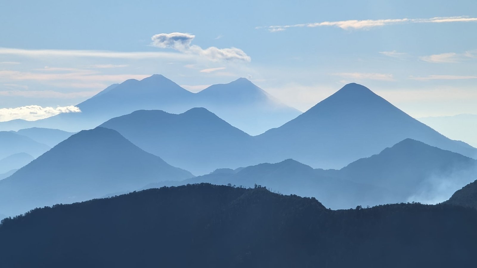
Guatemala is a land of volcanoes. In the southern part of the country alone there are 37 of them; five are active, and three – Fuego, Santiaguito and Pacaya – are permanently active. In our opinion they are the most interesting thing this country has to offer. Between 7 January and 14 February 2024 we went up six of them: Pacaya and Acatenango from Antigua, San Pedro and Atitlán from Lake Atitlán, and from Quetzaltenango (Xela) Tajumulco – the highest peak in Central America – and Santa María. We reached the very summit of four. On Pacaya the trail ends at a viewpoint, and on Acatenango we only made it to the camp below the summit.
Below is a short overview of each one: how hard the route is, how much it costs, whether you need a guide and what you can see from the top. The detailed reports are in separate posts: Acatenango and Pacaya and Santa María and Tajumulco.
Table of contents
- Pacaya (2552 m) – marshmallows roasted over lava
- Acatenango (3976 m) – a night facing Fuego
- San Pedro (3020 m) – above Lake Atitlán
- Atitlán (3537 m) – warm ground at the summit
- Tajumulco (4220 m) – the roof of Central America
- Santa María (3772 m) – the eruptions of Santiaguito
- Comparing the routes
- Guides, safety and practical tips
Pacaya (2552 m) – marshmallows roasted over lava
The easiest volcano on our list, good as a warm-up. We went there on 7 January 2024 on a tour from Antigua. You cannot climb to the summit of the active Pacaya (gases, risk of eruption), so the route ends at a viewpoint at 2297 m, from where you can see the cone of Pacaya and the volcanoes Agua, Fuego and Acatenango. Then you go down to the Cerro Chino crater, where you roast marshmallows over warm lava from 2014.
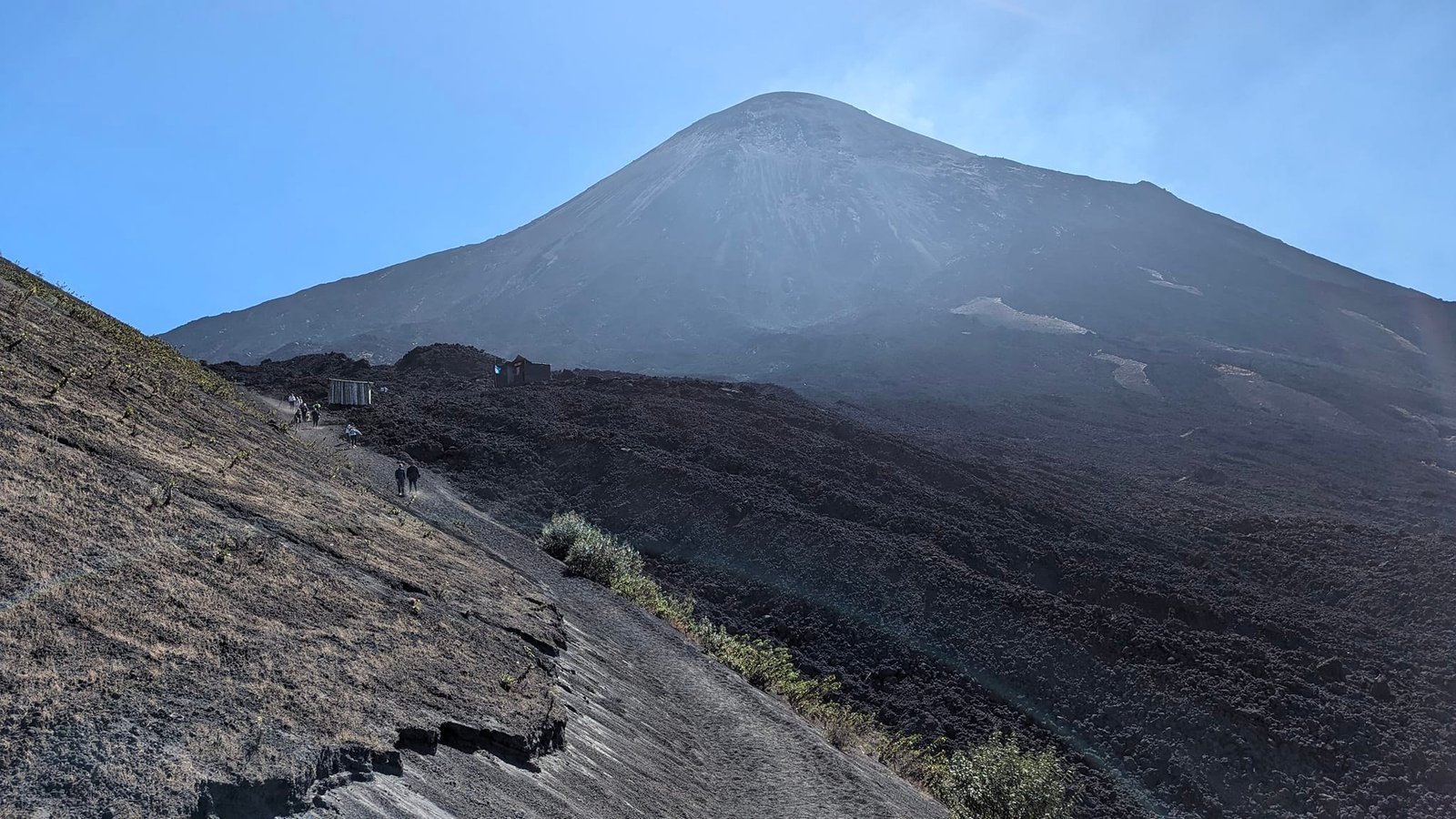
- Route: about 400 m of elevation gain, about 3 hours in total; easy.
- Cost (January 2024): tours from 125 Q (about €15) with transport, guide and marshmallows + national park entrance 100 Q (about €12).
- Guide: required (included in the tour price).
More: Pacaya – a tour from Antigua.
Acatenango (3976 m) – a night facing Fuego
The most famous trek in Guatemala: a two-day trip with a night at a camp at about 3600 m, facing Fuego – the most active volcano in Central America, which erupts every 15–30 minutes. After dark you can see glowing lava. We were there on 20–21 January 2024 with Alicja and Michał. For us it was the hardest volcano in Guatemala – a steep climb on loose sand with a heavy backpack – and the only one whose summit we did not reach: clouds rolled in before 4 a.m. and the guides refused to make the summit push.
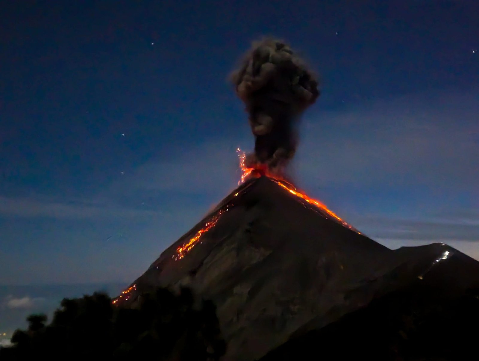
- Route: 8 km and about 1200 m of elevation gain to the camp (from about 2400 to about 3600 m), in the morning about 400 m to the summit; hard.
- Cost (January 2024): 300 Q for the tour + 100 Q for the national park (the cheapest we saw was 250 Q + 100 Q); a hike right up to Fuego costs an extra 200 Q (about €24).
- Guide: practically everyone goes with an agency – it is hard to get here on your own.
More: Acatenango – organisation, Fuego’s eruptions and a morning without the summit.
San Pedro (3020 m) – above Lake Atitlán
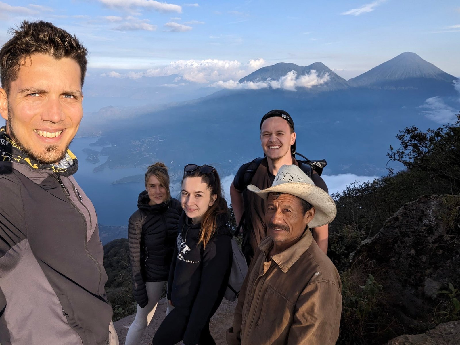
The volcano above the small town of San Pedro La Laguna, where we were staying on Lake Atitlán. We climbed it on 31 January 2024 with Magda, Samuel (we only met at the start of the trail) and our guide Lorenzo – timed so that we would be at the top before sunset. A tuk-tuk took us to the trailhead. The path leads through the shade of trees on firm ground, so despite a similar elevation gain it was much easier going than on Acatenango. At the top the clouds cleared after a few minutes and we saw Tolimán, Atitlán and Acatenango. We came down in the dark.
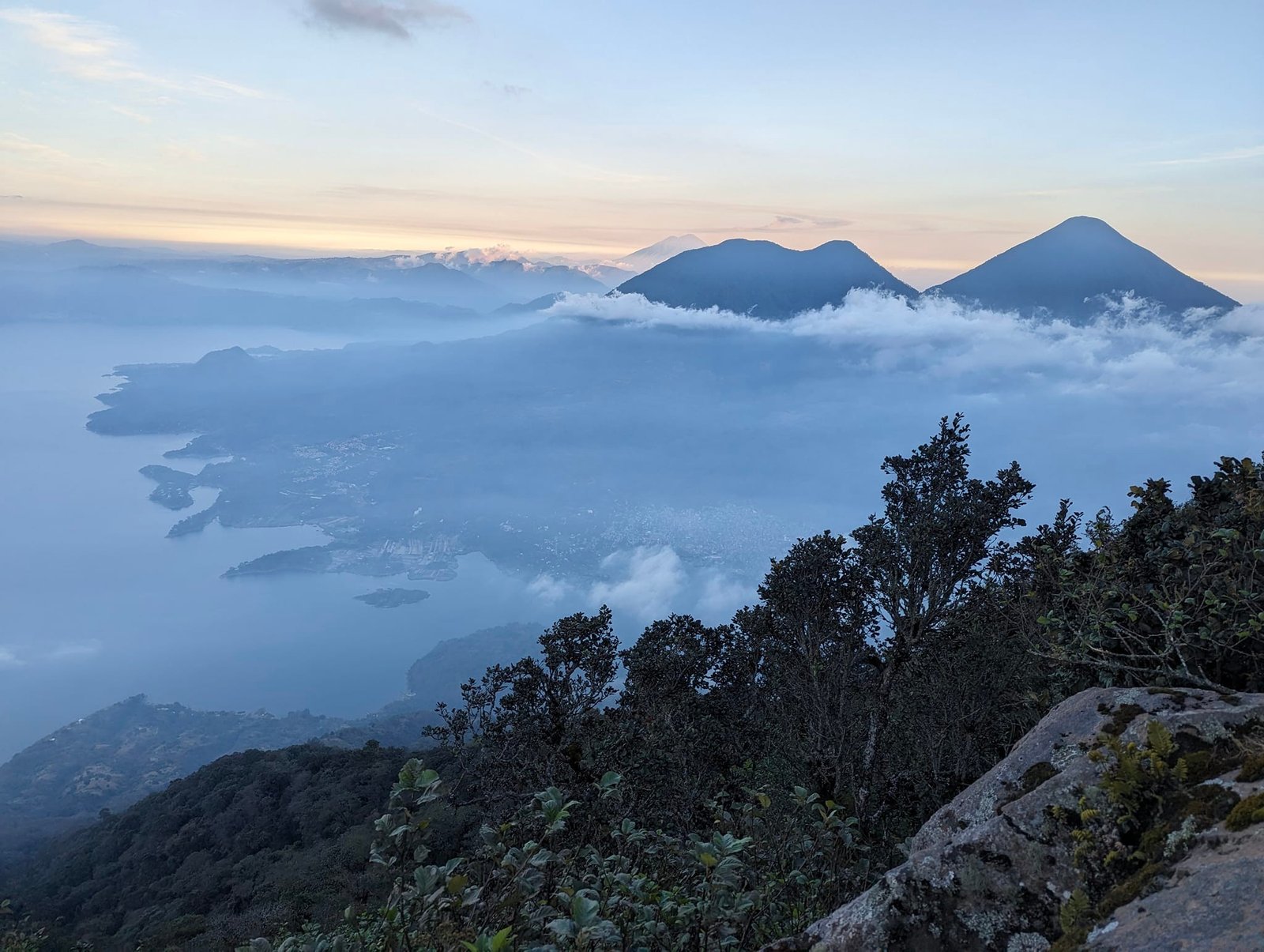
- Route: more than 9 km return and about 1200 m of elevation gain, 2.5 hours up and 1.5 down; moderate.
- Cost (January 2024): 300 Q (about €36) per person – 200 Q for the guide including transport and 100 Q for the entrance.
- Guide: we took one because of the risk of robberies (more in the last part of the post).
 12:55
Atitlán (3537 m) – warm ground at the summit
The highest of the volcanoes around the lake and the toughest climb we had in Guatemala. The trail starts about 10 minutes from the path we had taken the day before to watch quetzals near Santiago Atitlán; we went up the volcano on 4 February 2024. Most of the way leads through forest, then over rocks, and finally across a lava field – the stones slide, it is hard going up and even harder coming down. The closer you get to the summit, the stronger the wind. The volcano is no longer active, but the ground at the top is warm and heats you up when you sit on it, and steam escapes from holes in the ground. The views are out of this world.
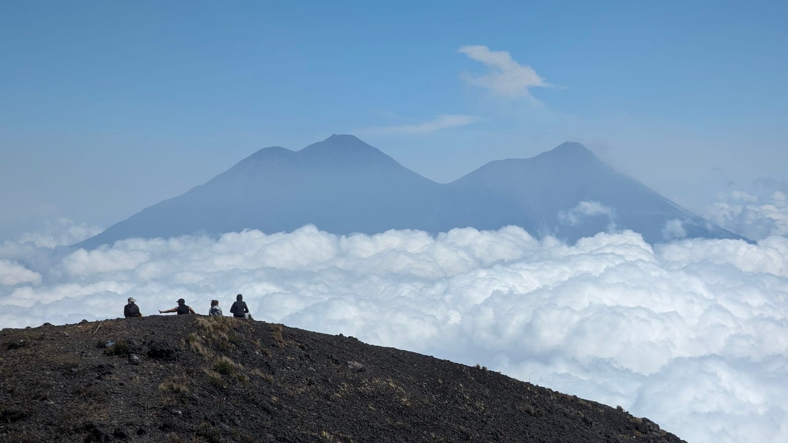
- Route: about 14 km there and back, 1740 m of elevation gain, about 8 hours; hard.
- Guide: we went on our own.
- Getting there: no bus goes to the trailhead – the four of us, with Magda, had a car. At the parking area a self-appointed “parking attendant” made us pay him for watching the car.
Tajumulco (4220 m) – the roof of Central America
The highest peak in Guatemala and all of Central America, and for us our first four-thousander. We climbed it on our own on 12 February 2024, as a day trip from Xela: the first bus at 5:00, a change in San Marcos and the start on the trail at 8:30. Most of the route is in full sun, and the final part – past the shrines of the Stations of the Cross – is steep. We did not meet any tourists, only a police patrol at the summit, and after the descent the Guatemalan and Mexican military: a few years earlier cartels were active here and climbing without a guide was unthinkable. From the summit we saw, among others, Fuego and the Tacaná volcano on the border with Mexico.
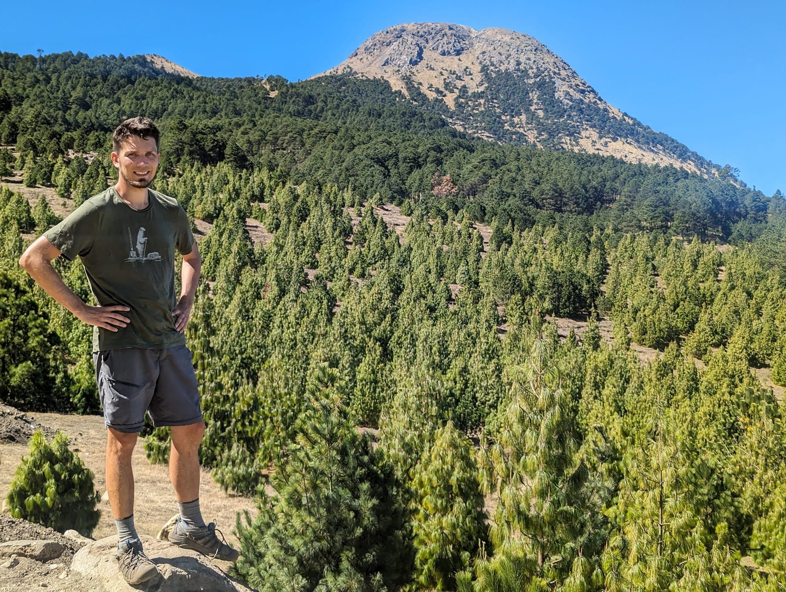
- Route: about 15 km and about 1300 m of elevation gain, 7.5 hours including a loop around the crater; moderate – the altitude and the sun are more tiring than the path itself. Unlike on the other volcanoes, you can get lost here, so an app with the route will come in handy.
- Cost (February 2024): transport from Xela 35 Q one way (about 3 hours with a change), the way back 2 Q + 30 Q.
- Guide: we went on our own.
More: Tajumulco – a day trip from Xela.
Santa María (3772 m) – the eruptions of Santiaguito
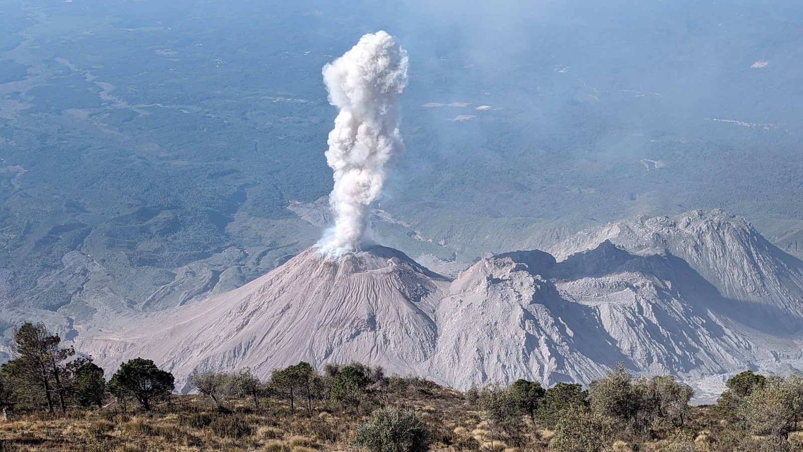
Our favourite volcano in Guatemala, towering over Quetzaltenango. From the summit you can see about 10 other volcanoes – from Acatenango and Fuego to Tajumulco and Tacaná – and about 1200 m below, Santiaguito erupts on average every half an hour: a complex of lava domes that began to grow in the crater after the great eruption of 1902. We climbed it twice; the second time, on 14 February 2024, we were on the trail at 4:30 and spent 3 hours at the top. The trail is non-technical and only gets steep at the end. You need to set off early, because after 10–11 a.m. the clouds come in.
- Route: 11 km and about 1300 m of elevation gain, 3.5 hours up and 2 down; moderate.
- Cost (February 2024): an Uber from Xela to Llano del Pinal 35–40 Q one way.
- Guide: we went on our own.
More: Santa María – the volcano above Xela.
Comparing the routes
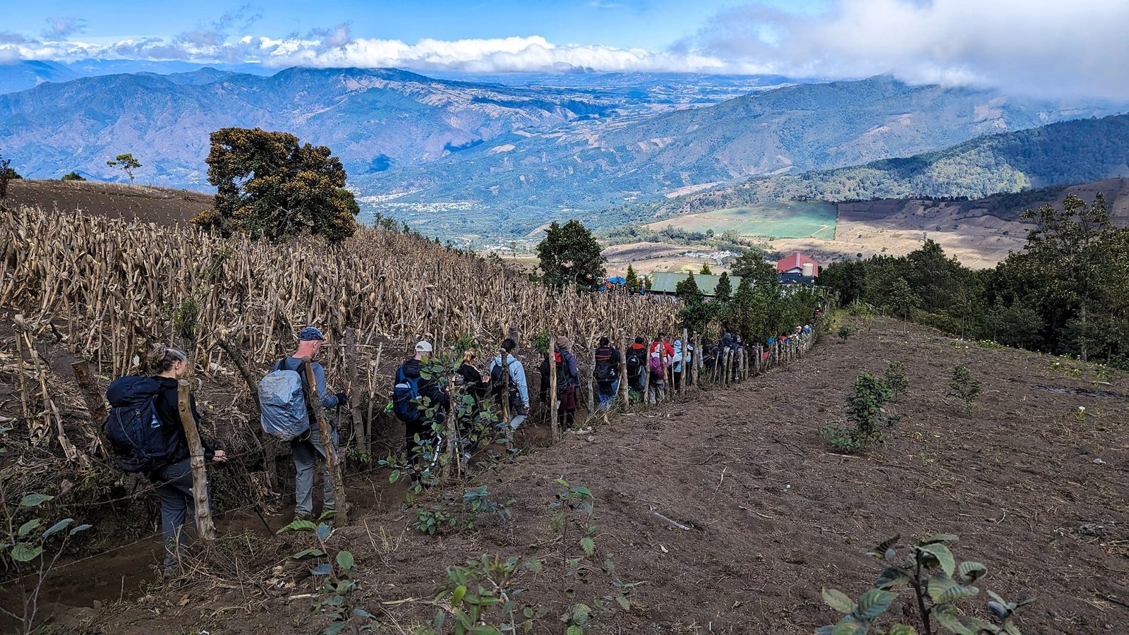
On most of the volcanoes we had about 1200–1300 m of elevation gain, but the distance varied. The longest route was the one up Tajumulco (15 km), and Atitlán had the greatest elevation gain (more than 1700 m). Apart from Acatenango, none of the volcanoes gave us much trouble – Acatenango was the first one that high, and on top of that came fatigue and a heavy backpack.
- Pacaya (2552 m) – about 400 m of elevation gain, about 3 hours; easy; guided only.
- Acatenango (3976 m) – 8 km and 1200 m to the camp, about 400 m to the summit in the morning; 2 days; hard; with an agency.
- San Pedro (3020 m) – more than 9 km, 1200 m, about 4 hours; moderate; we went with a guide.
- Atitlán (3537 m) – 14 km, 1740 m, about 8 hours; hard; on our own, by car to the trailhead.
- Tajumulco (4220 m) – about 15 km, 1300 m, 7.5 hours; moderate; on our own.
- Santa María (3772 m) – 11 km, 1300 m, about 5.5 hours of walking; moderate; on our own.
Guides, safety and practical tips
In some places a guide is compulsory, in others strongly recommended – it was the same later in El Salvador and Nicaragua. Officially it is about safety: robberies and the risk of getting lost. More than once, though, we saw it more as a way to make money, especially as guides also expect a tip. The trails are usually straightforward – often marked, mostly a single path – and with a map app (we use AllTrails) getting lost is pretty much impossible.
We only heard about robberies in three places: on Volcán de Agua near Antigua, on the lakeside trail along Lake Atitlán from San Marcos to Santa Cruz, and on the San Pedro volcano. That is why we took a guide on San Pedro. Lorenzo told us that robberies only happen there near the summit (the robbers come from the Santiago Atitlán side), in the morning and mostly at weekends – and in 21 years of work he had come across it once, a long time ago. Just in case, besides a machete he carried a makeshift weapon. We consider the other volcanoes we climbed safe, and we never once felt threatened in Guatemala. Information on the internet is often outdated, too – on Tajumulco, just a few years earlier, nobody went without a guide.
- Start early – in this part of the country the clouds come in at about 10–11 a.m. and you can no longer see much. On Santa María and Tajumulco we set off before dawn.
- Warm clothes – in the mountains it is warm during the day (up to 28°C in Antigua, up to 23°C in Xela), but the nights are cold (from a few degrees to the mid-teens), and it is even colder at the summits.
- Bases – Antigua (Pacaya, Acatenango), San Pedro La Laguna on Lake Atitlán (San Pedro, Atitlán) and Quetzaltenango (Santa María, Tajumulco).
- Currency – we give prices in quetzales (Q); at the beginning of 2024, 1 Q was worth about €0.12.