After the Grand Canyon and Horseshoe Bend we headed north, to the borderlands of Arizona and Utah – red sandstone country. In four days (2–5 October 2018) we saw Monument Valley and three of Utah’s national parks: Arches with over two thousand rock arches, Canyonlands with its maze of canyons and Bryce Canyon with thousands of rock spires. At the time we were travelling as a group of five in a rental car – I describe the whole route of the month-long trip in the 30-day USA itinerary.
Table of contents
- Monument Valley – buttes from the westerns
- Arches National Park – the land of rock arches
- Canyonlands National Park – in a storm and at the viewpoints
- Bryce Canyon National Park – a forest of rock spires
- Practical information
Monument Valley – buttes from the westerns
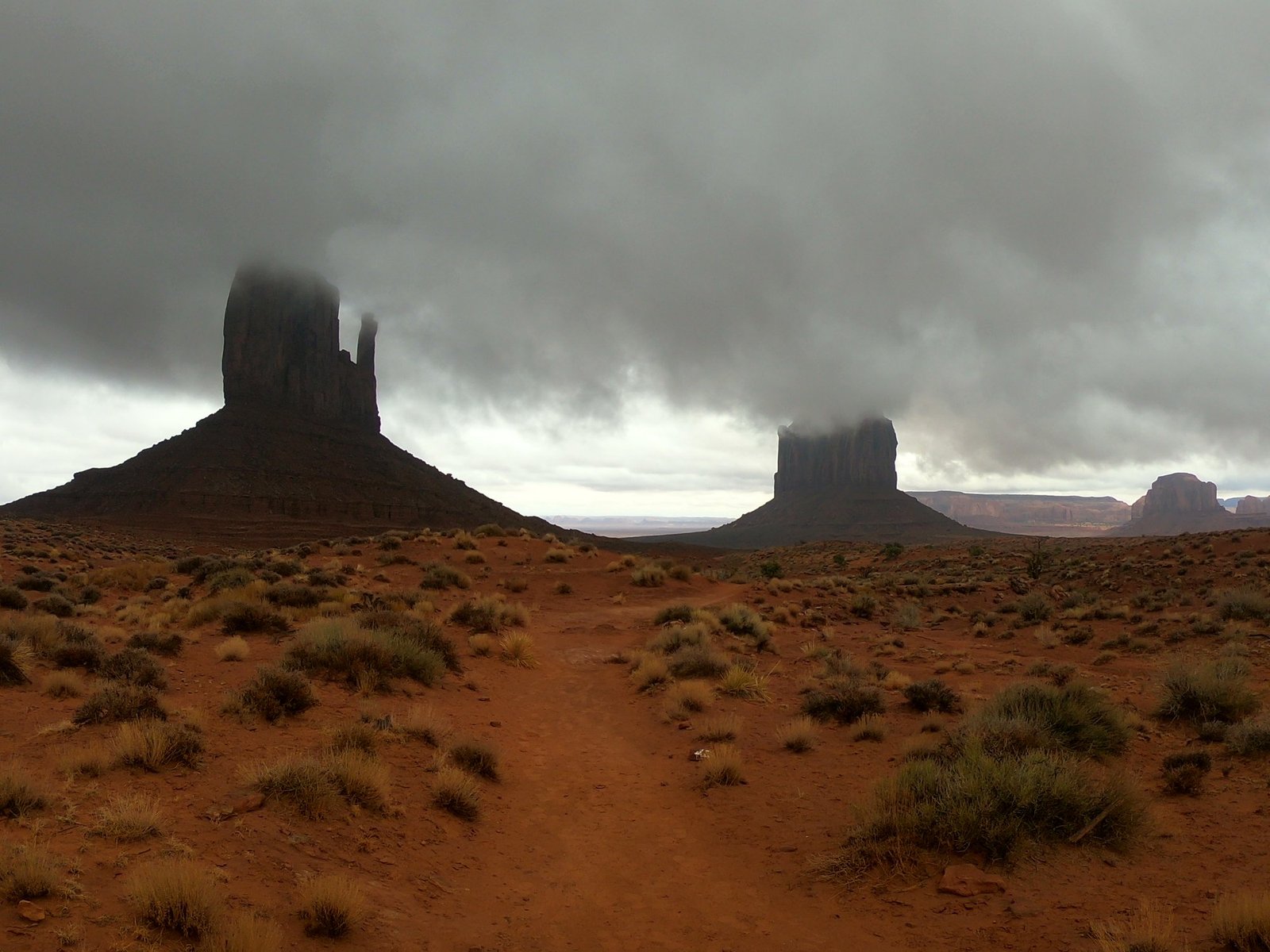
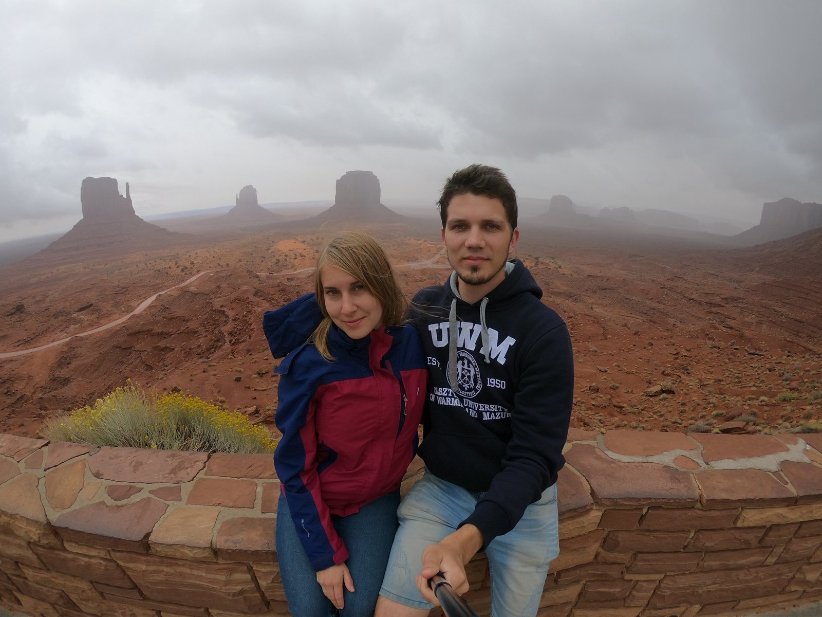
On 2 October we reached Monument Valley – a valley on the Arizona–Utah border from which red sandstone buttes rise. It is one of America’s most recognisable landscapes: it has appeared in many films, mostly westerns. The rock formations are up to about 300 m high, and the valley floor lies on average at about 1855 m above sea level. The most famous are the two Mitten buttes, which look like hands in mittens with one thumb.
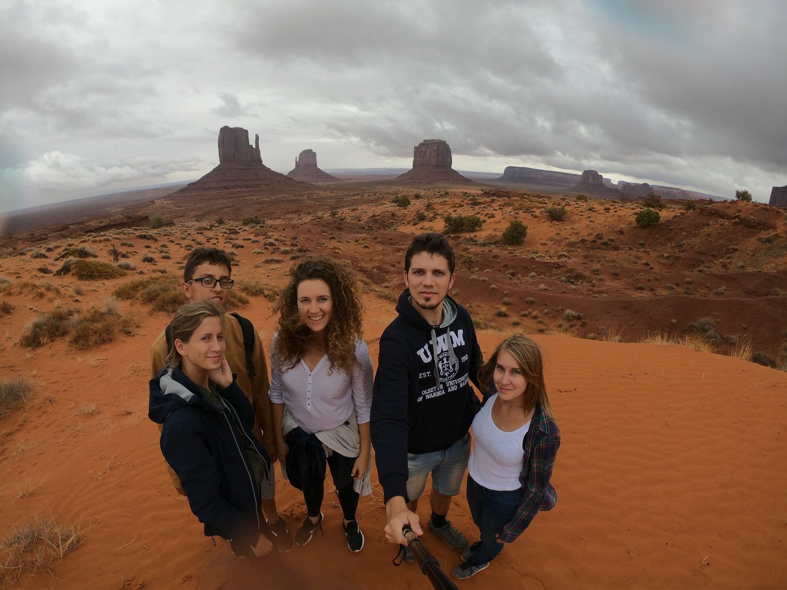
Unfortunately we were out of luck with the weather: it rained for most of the day, and low clouds hid the tops of the rocks. On the other hand – Monument Valley in rain and mist has an atmosphere that is anything but picture-postcard.
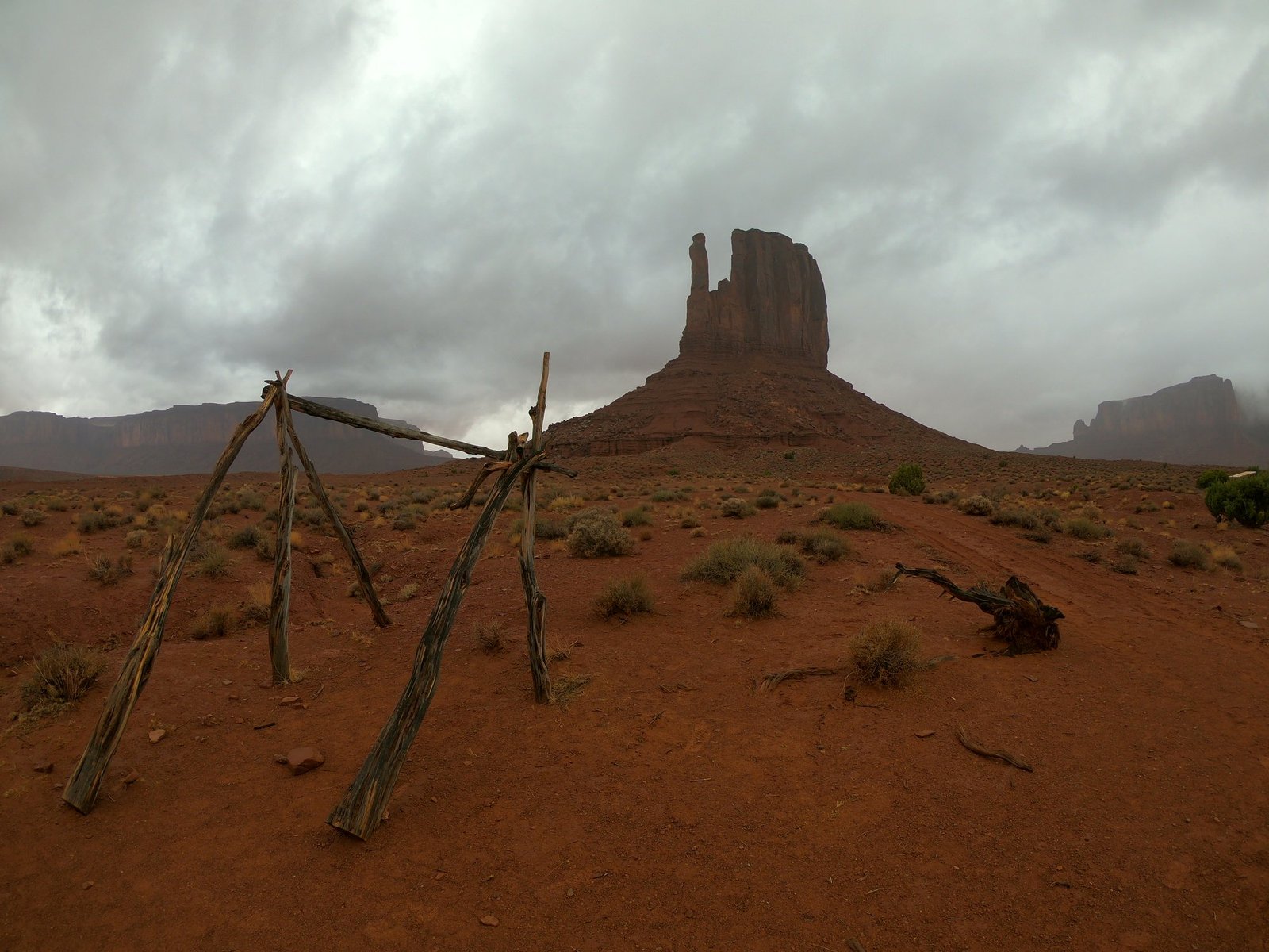
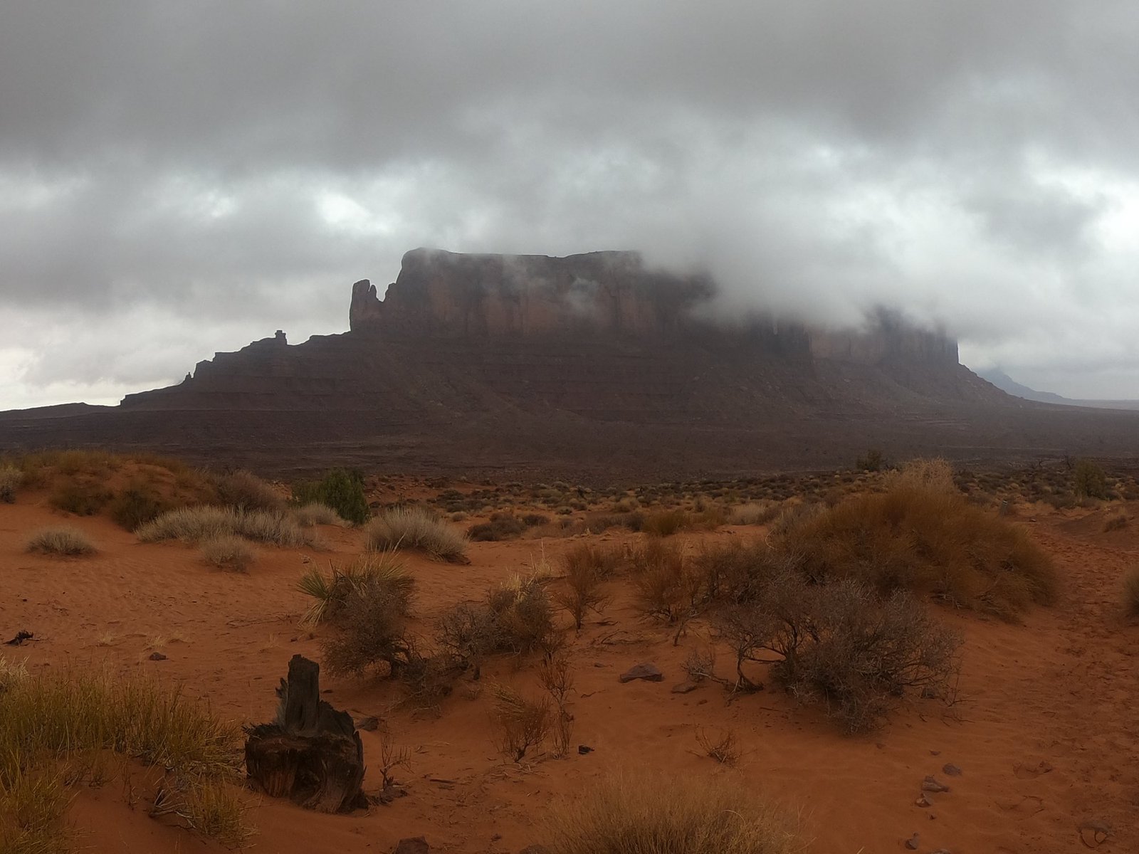
The valley lies within the Navajo reservation (Navajo Nation) and is run by them as a tribal park – entry is paid separately and is not covered by the national parks pass.
Arches National Park – the land of rock arches
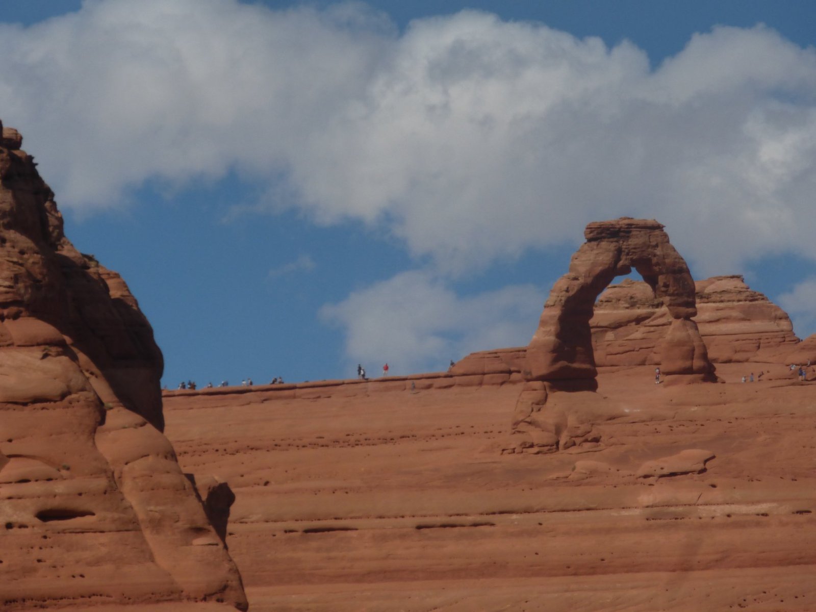
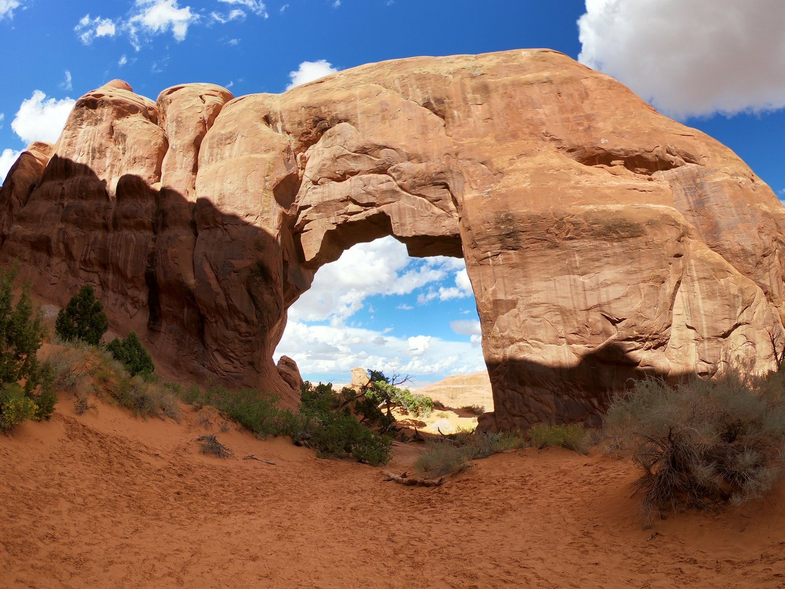
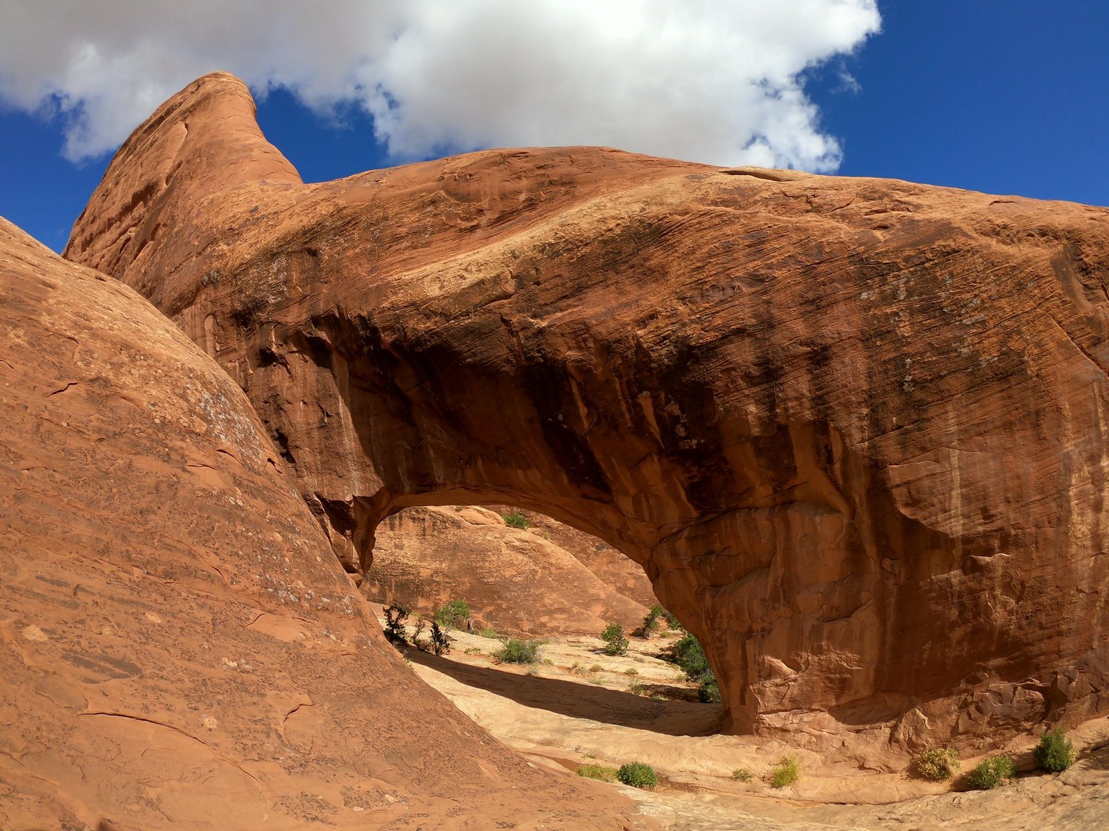
On 3 October we went to Arches National Park, which – as the name suggests – is famous for its rock arches, “holes” carved in the sandstone by the forces of nature. There are more than two thousand of them here. The best known is Delicate Arch – a lone arch about 16 metres high on the edge of a rock bowl, the symbol of the whole state of Utah (it even appears on the local licence plates).
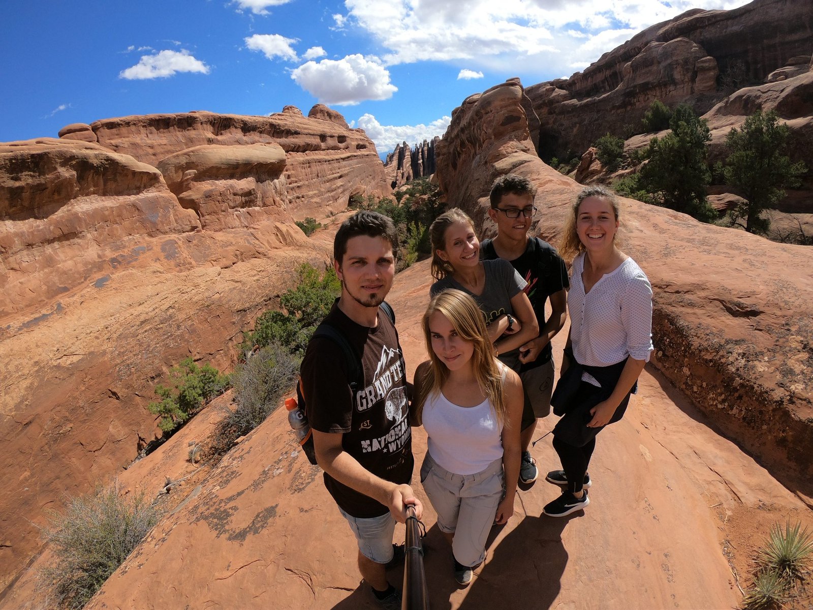
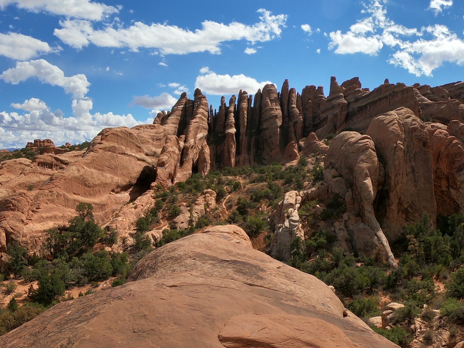
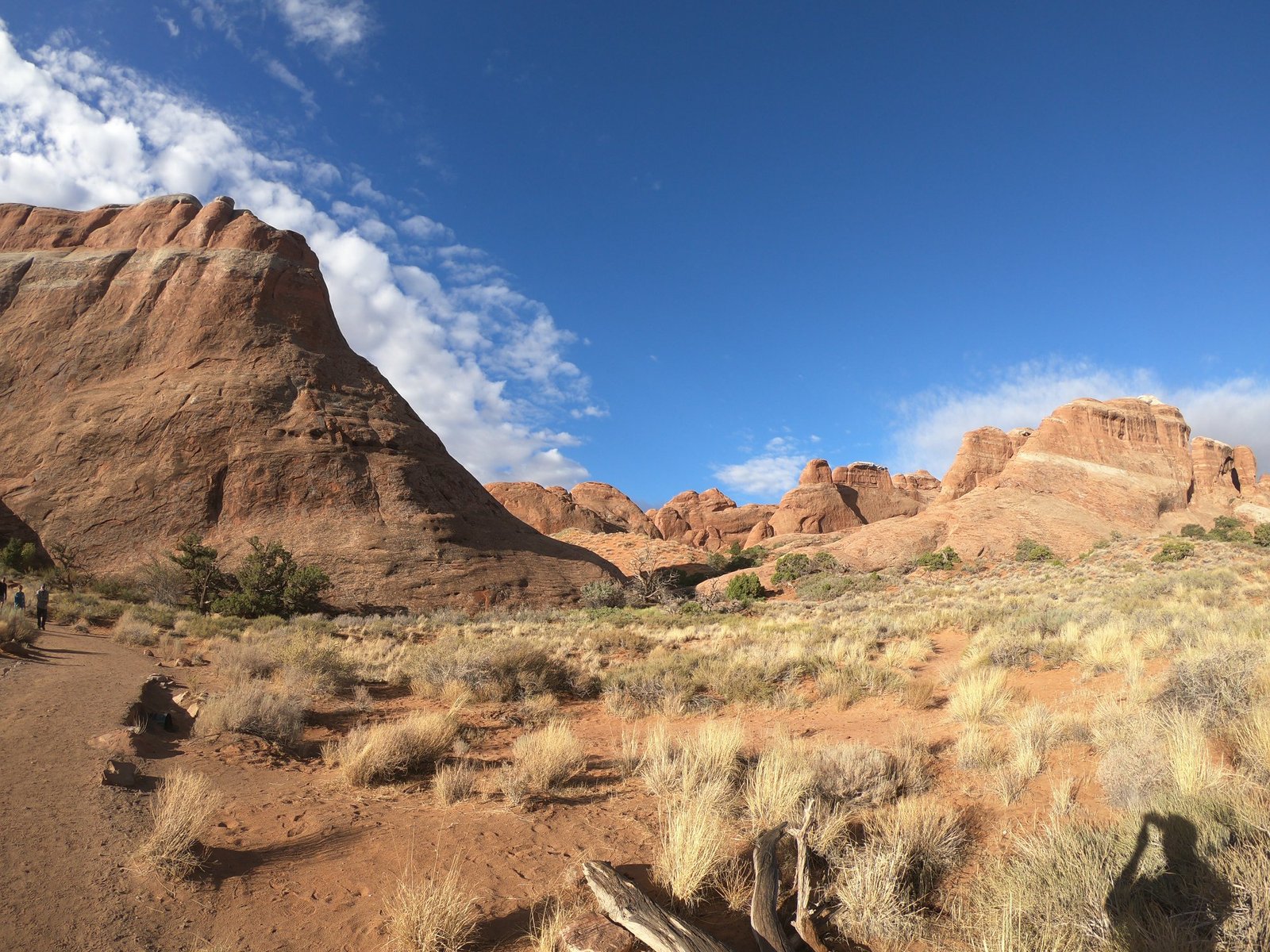
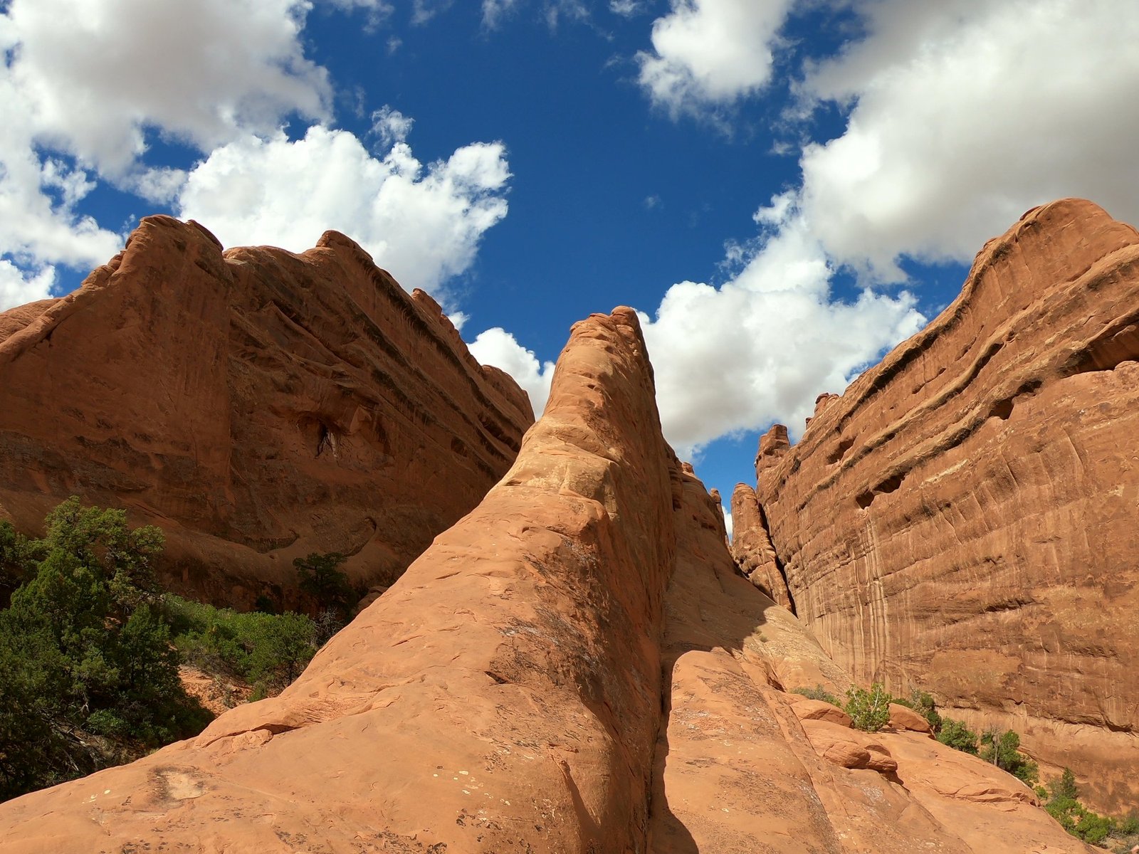
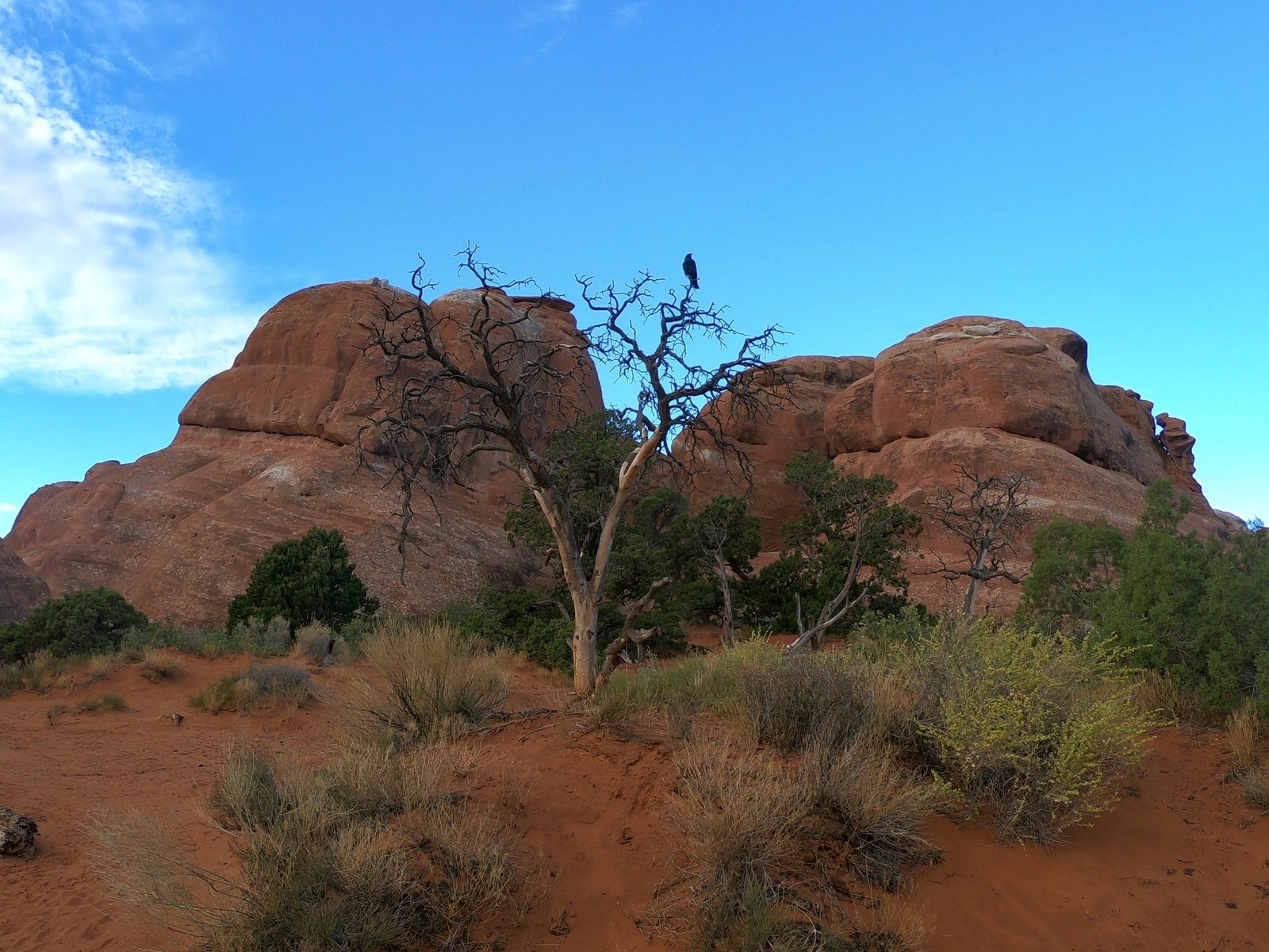
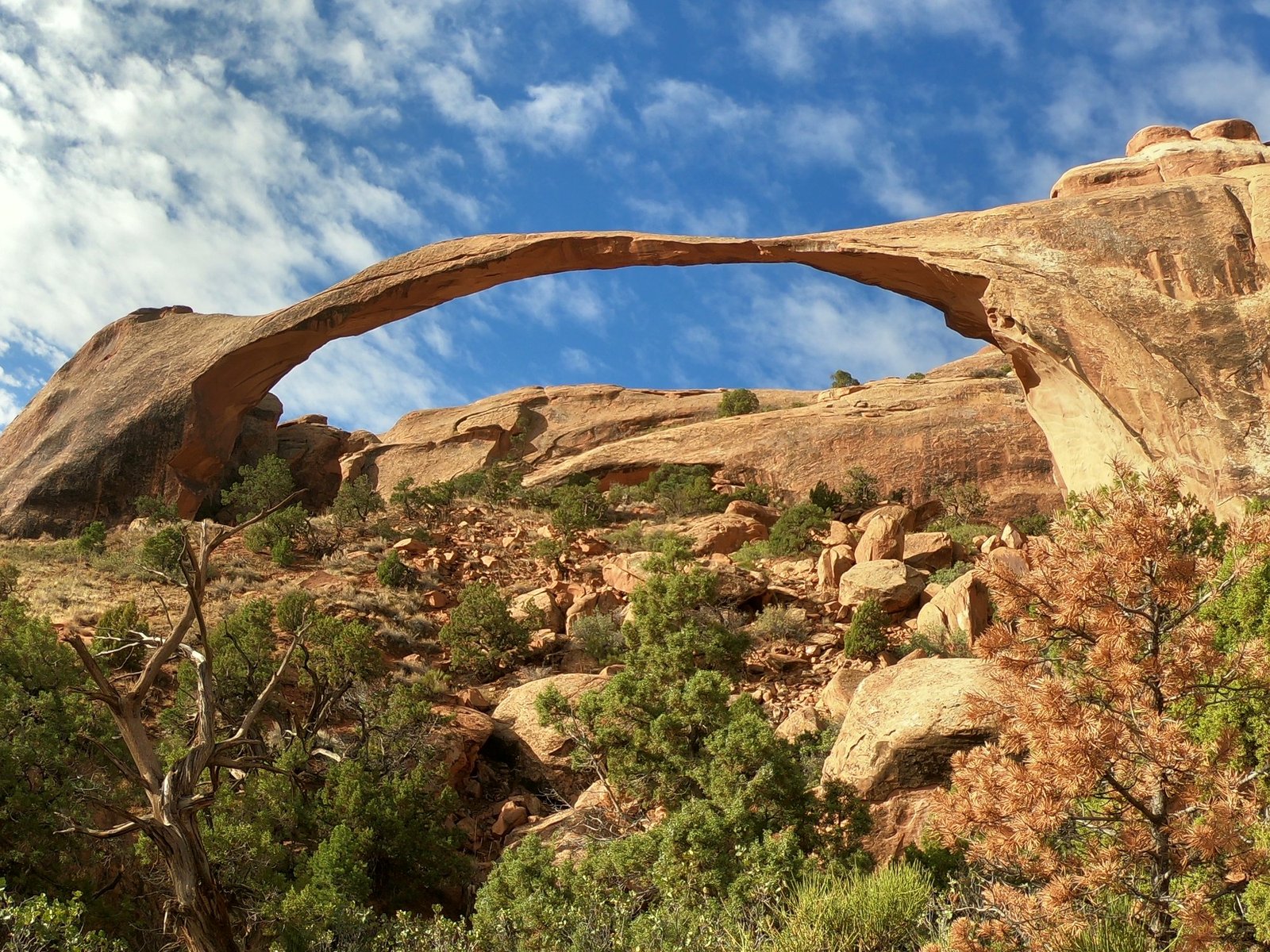
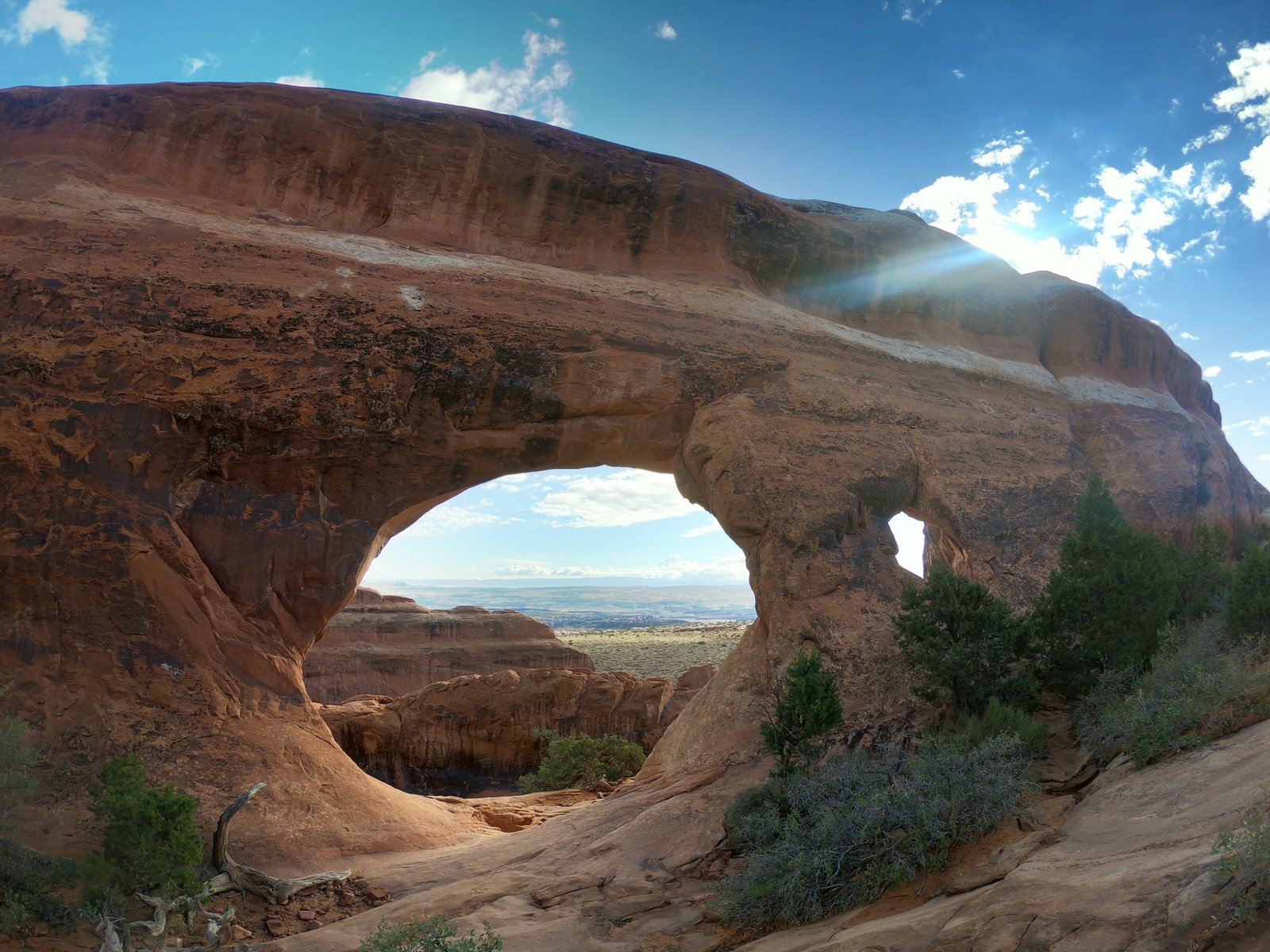
We saw the most arches on the trail in the part of the park called Devils Garden, among long rock “fins” of red sandstone. Among others, there is Landscape Arch – one of the longest natural arches in the world, with a span of about 90 m and surprisingly thin in places.
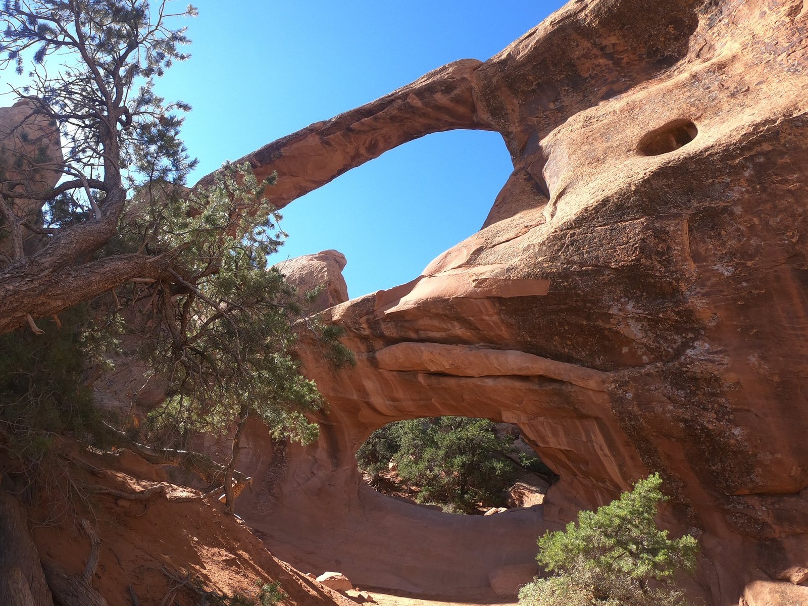
Further on, the trail leads to Partition Arch, through which you can see a wide valley, and to Double O Arch – two arches stacked one above the other. The Devils Garden trail also has harder sections: on one of them a steep descent awaited us down almost vertical rock covered in small, loose pebbles – we nearly turned back. For one of us, who is afraid of heights and was wearing the wrong shoes, it was a real challenge.
Canyonlands National Park – in a storm and at the viewpoints
On 4 October we drove to Canyonlands – Utah’s largest national park, divided by the Colorado and Green rivers into several hard-to-reach districts. We had less time here than in any of the other parks. On top of that, first thing in the morning, before we had even set off on the trail, we watched from the car as storms rolled in from two sides – lightning and pouring rain on both horizons. The storm did not spare us and because of it we did not hike the trail we had planned, so we mostly had time for the viewpoints.
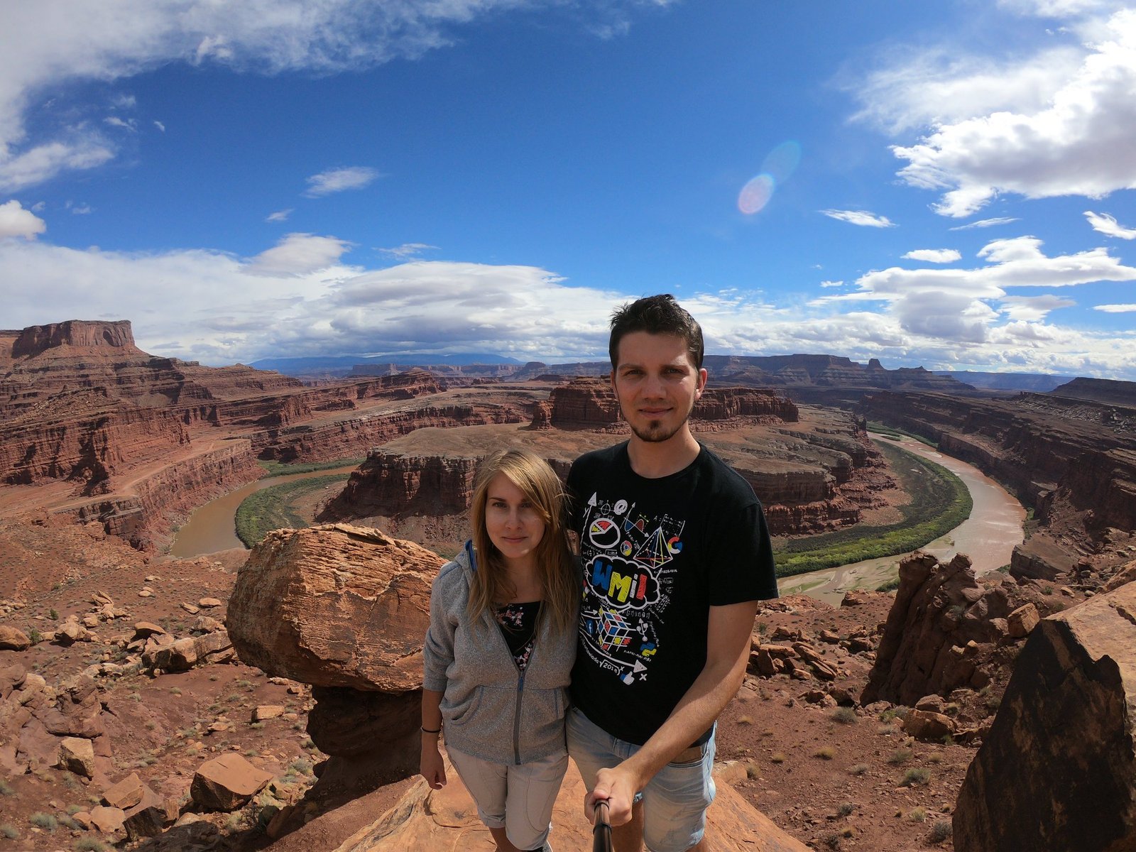
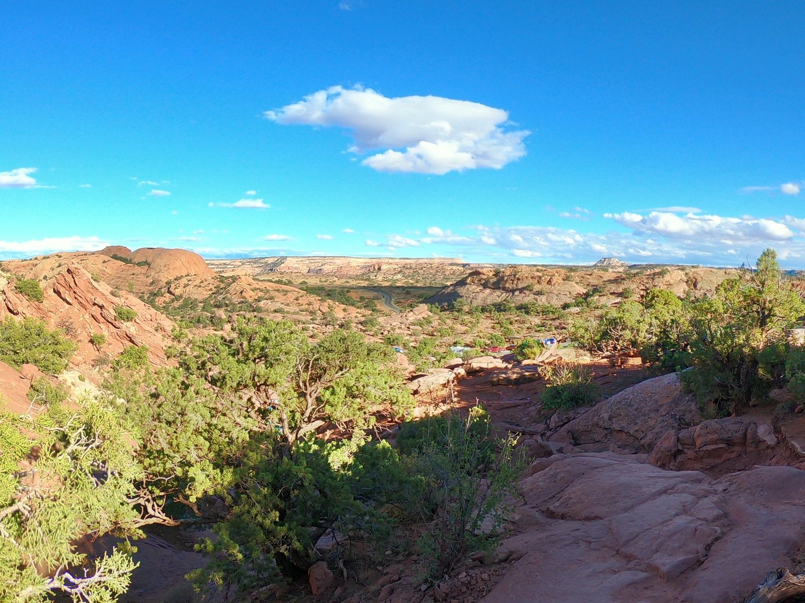
One of them was Gooseneck Overlook, with a view of a bend in the Colorado River. It was reached by a narrow, steep road meant mainly for four-wheel drives. We drove down it in an ordinary car and only at the bottom realised that we had to go back the same way. The climb back up was quite a challenge.
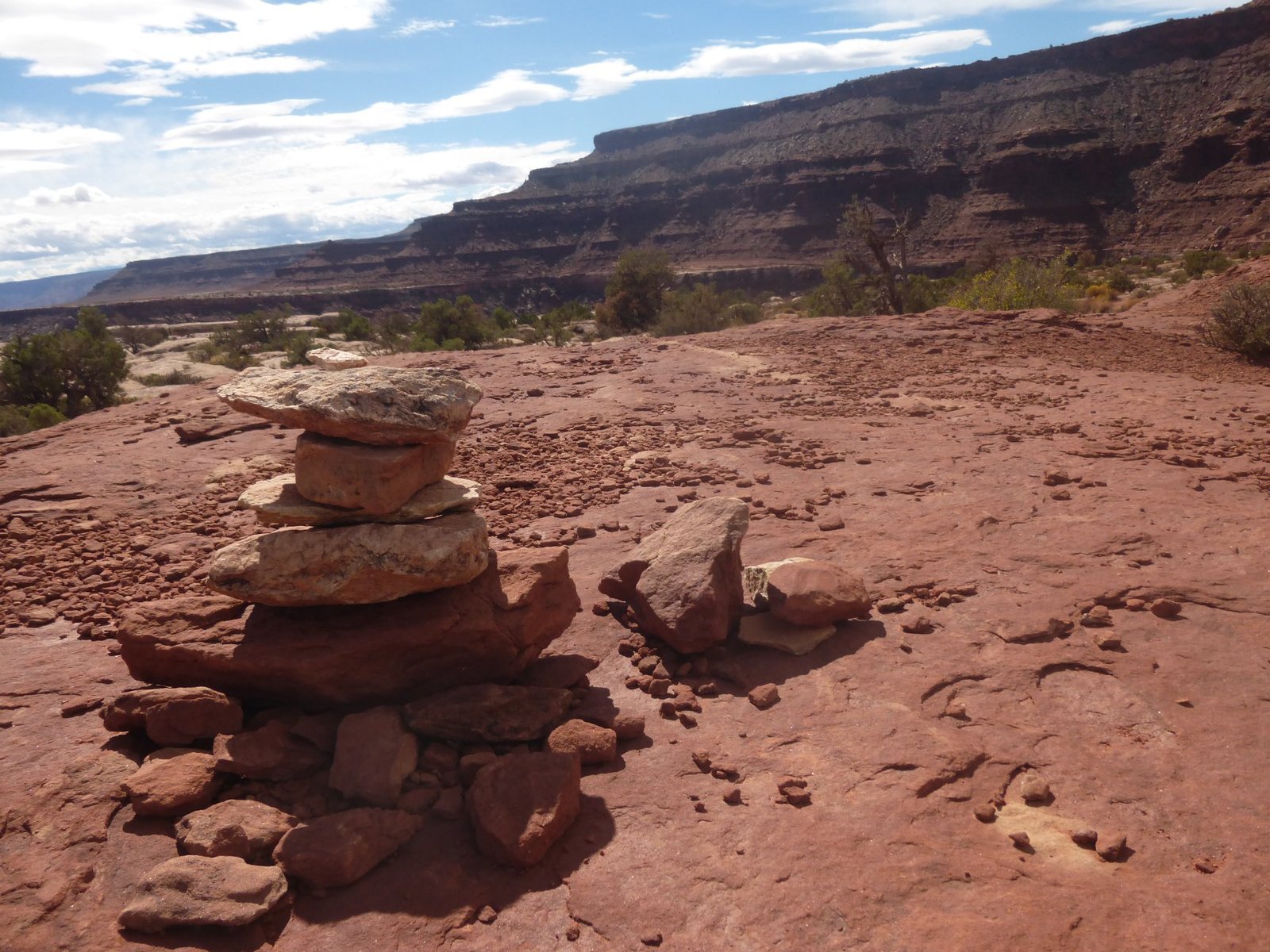
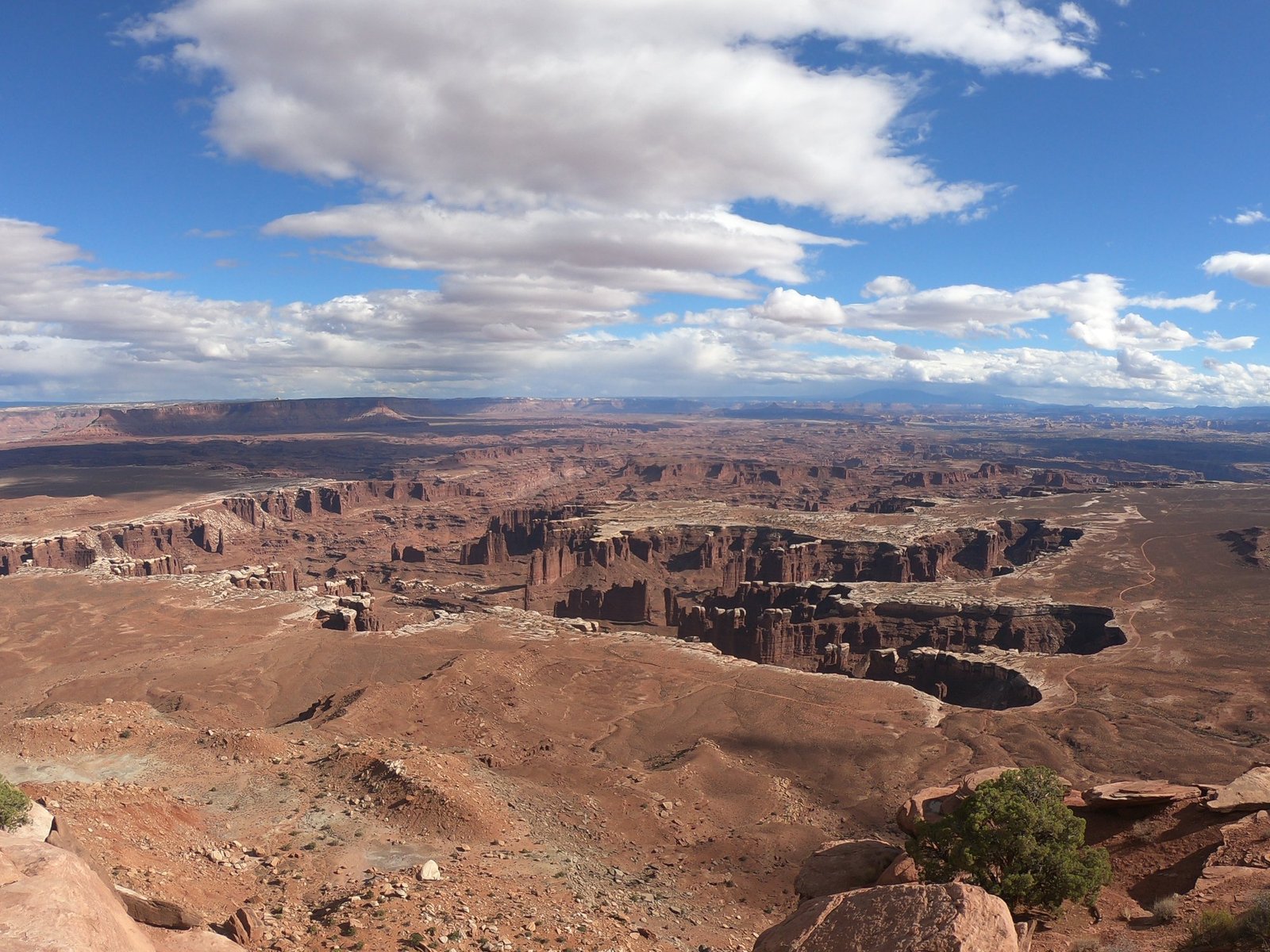
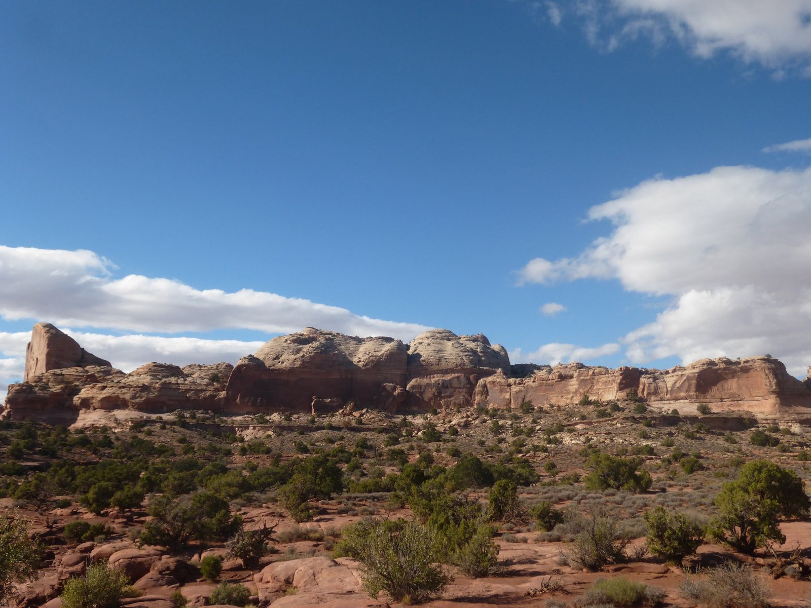
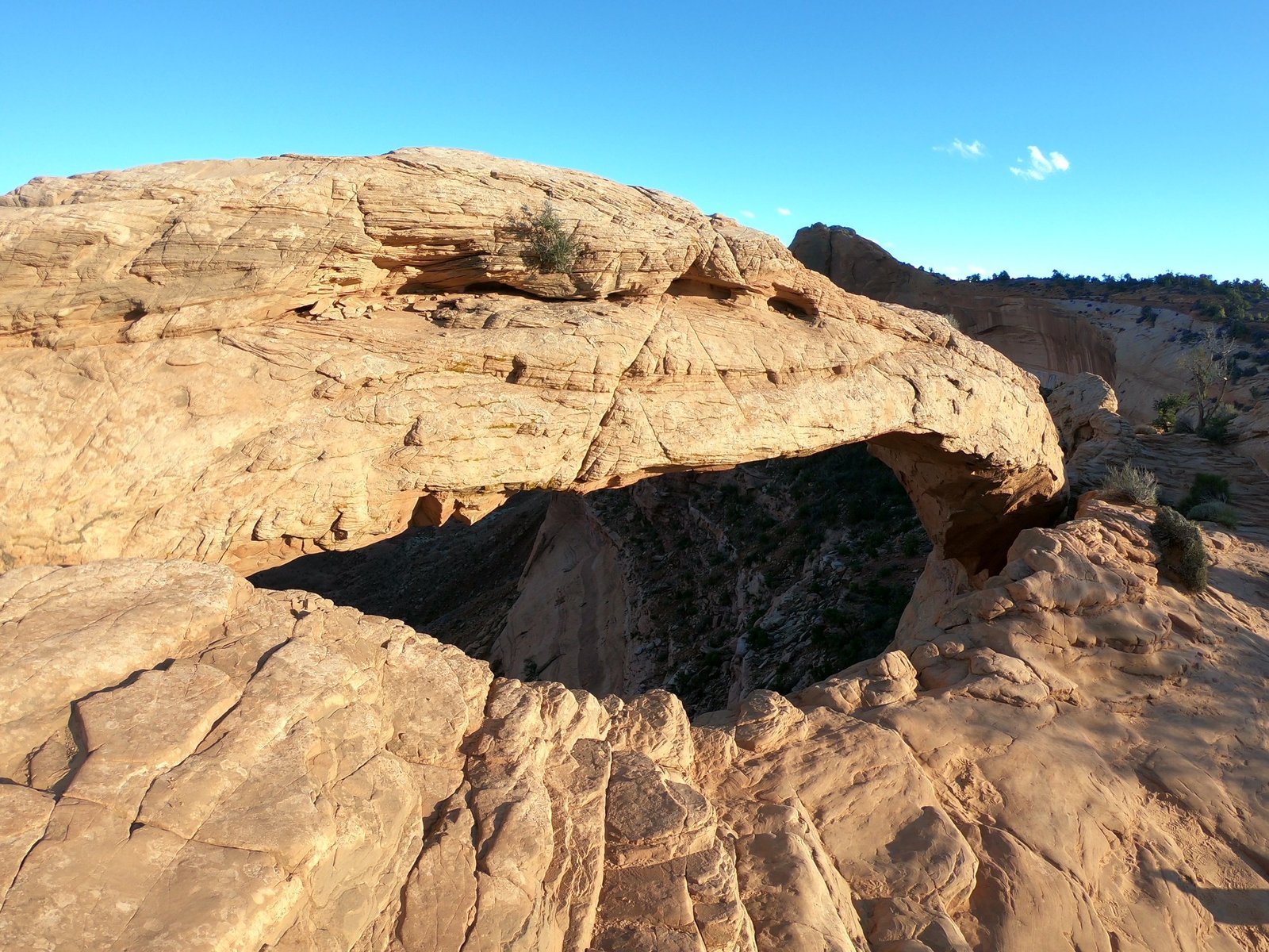
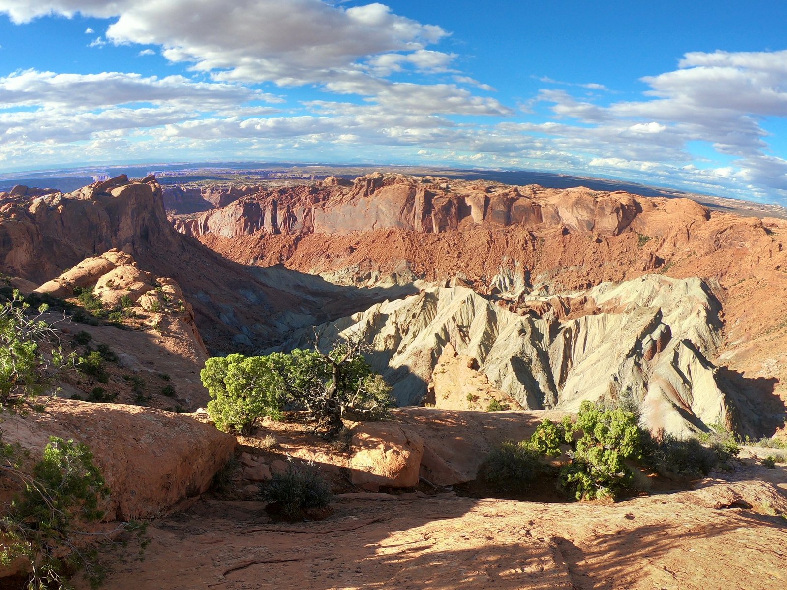
Canyonlands is a bit of a mix of the parks we had visited earlier – the Grand Canyon and Arches. There are deep canyons and rock arches, such as Mesa Arch on the edge of a cliff, as well as the Upheaval Dome crater. Its origin is still disputed today: it was probably formed by a meteorite impact or by the washing out of underground salt deposits.
Bryce Canyon National Park – a forest of rock spires
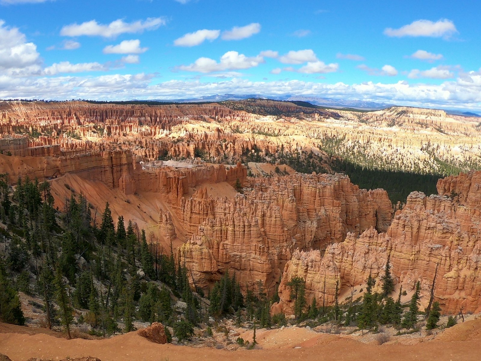
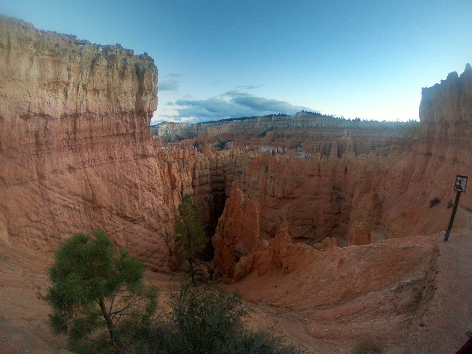
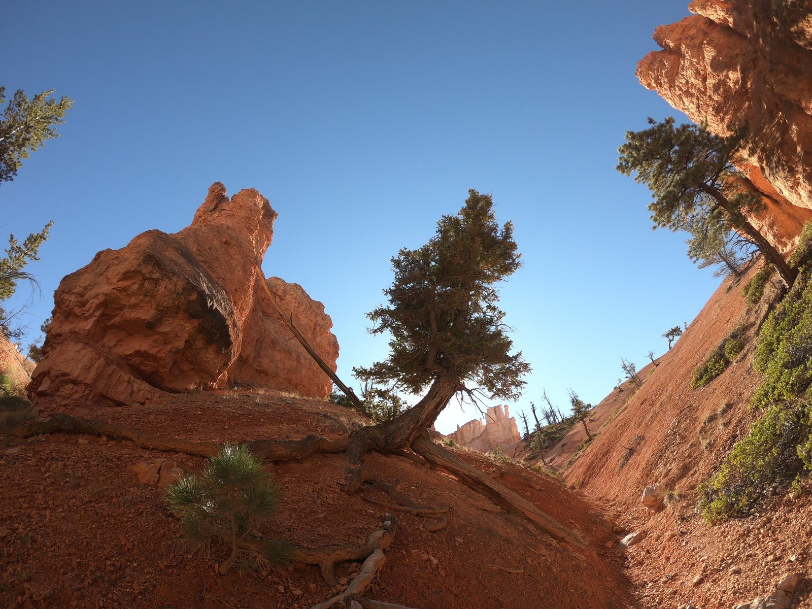
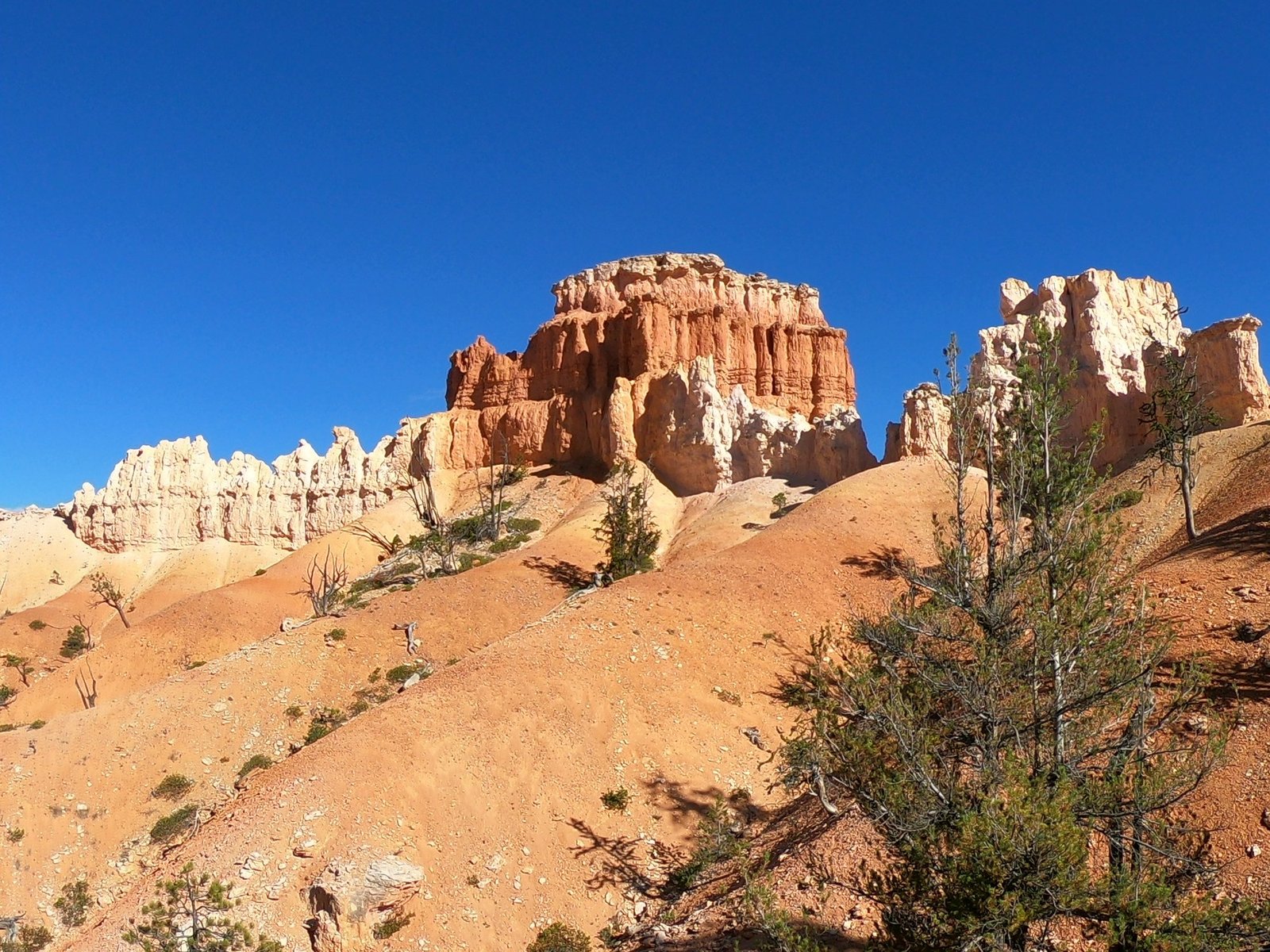
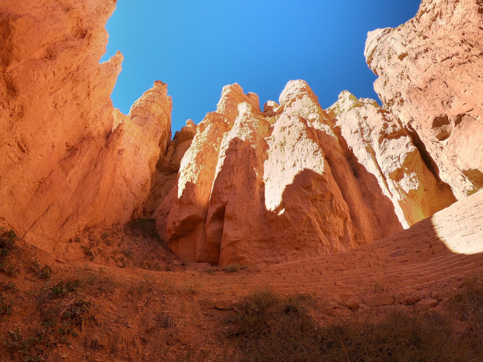
On 5 October we reached Bryce Canyon. Despite its name, it is not a canyon but a series of natural amphitheatres on the edge of a plateau, filled with thousands of rock spires – hoodoos. They were formed by erosion: water seeps into cracks in the rock, freezes at night and splits it apart, and rain washes away the softer layers. The formations look like… well, what exactly? Hard to say – everyone sees something different in them. The most common forms are spires, windows, arches and slots.
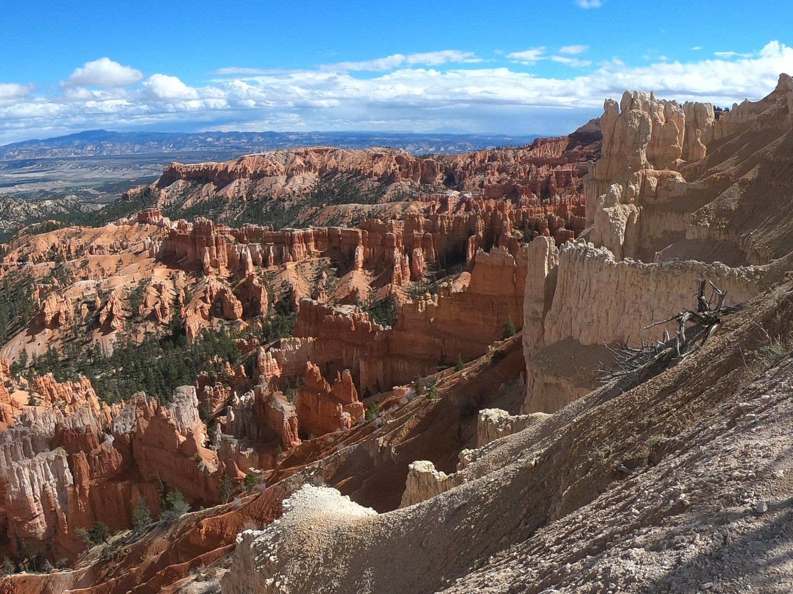
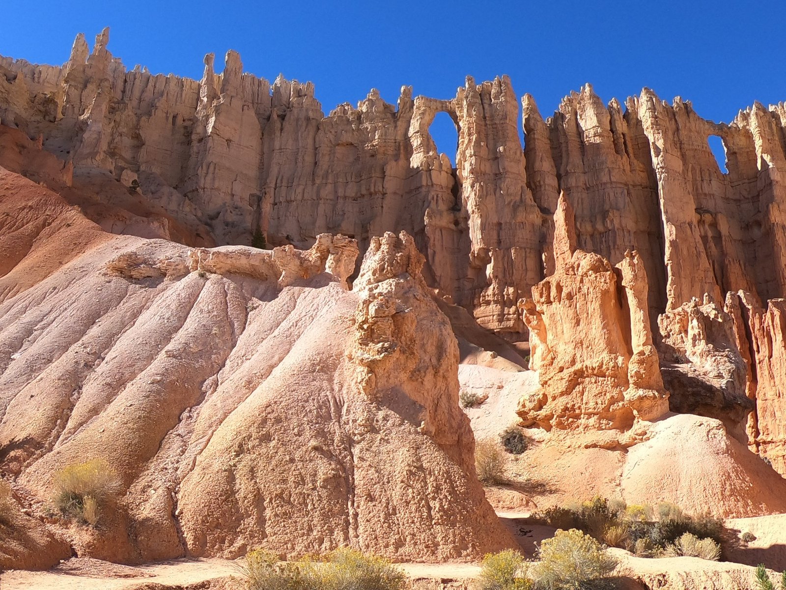
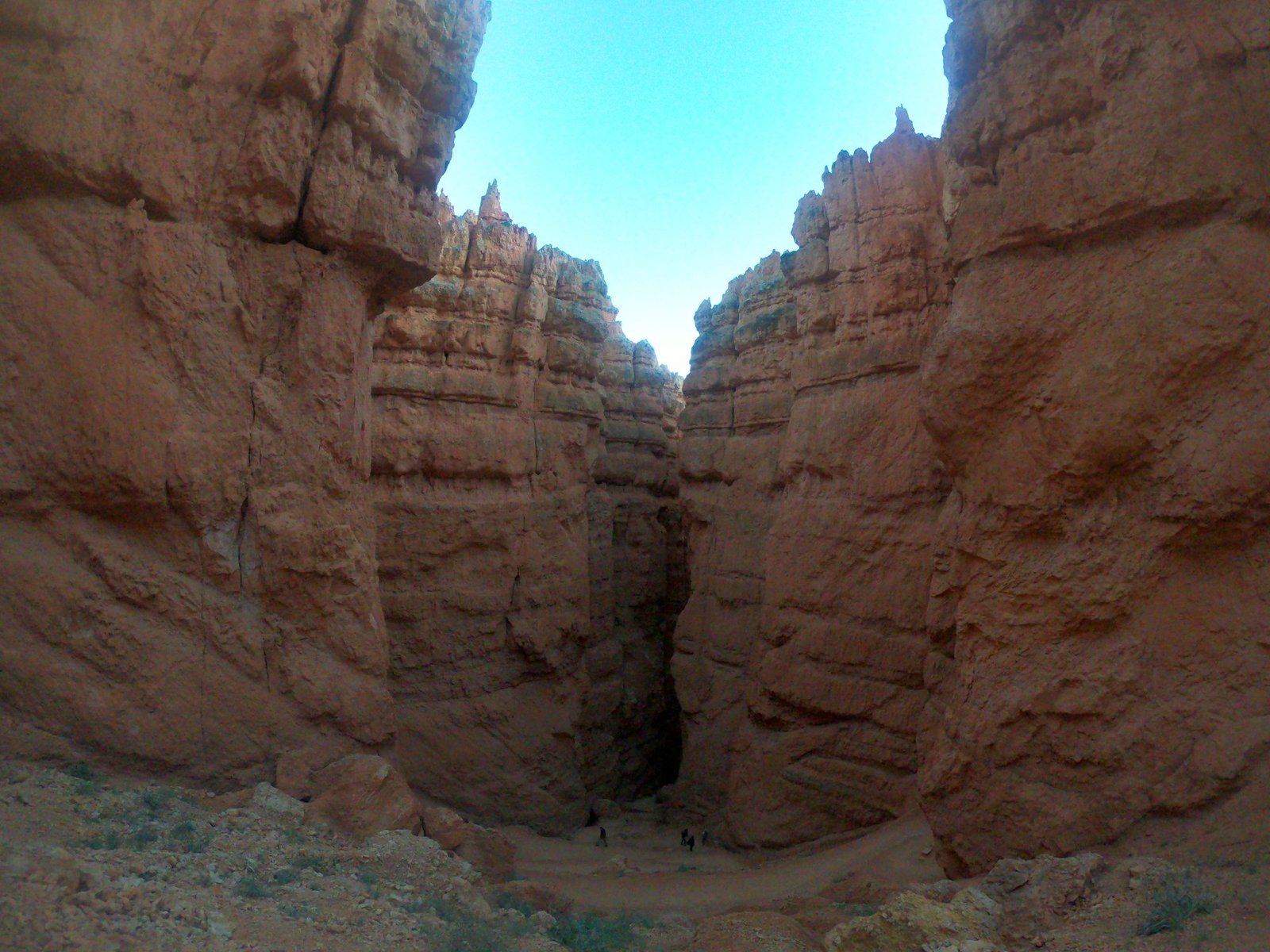
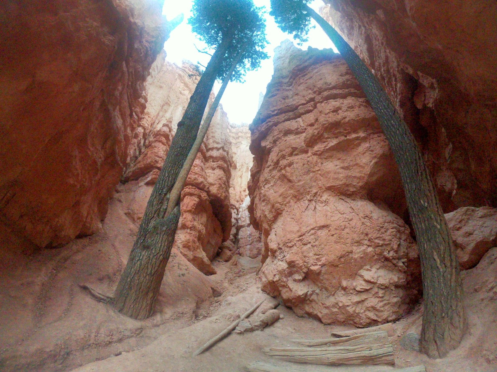
From the rim of the plateau we went down into the amphitheatre, where you see the spires from a completely different perspective – from below. The Navajo Loop trail leads through the narrow Wall Street gorge, where tall trees grow between the rock walls.
The park lies high up – at about 2400–2700 m above sea level – so in October it was really cold. It was here that we met a Polish couple who invited us to stay with them near New York; some two weeks later they really did host us when we were exploring New York. The next day we moved on to Las Vegas.
Practical information
- Base – for Arches and Canyonlands the most convenient place to stay is around the town of Moab: the Arches entrance is a few kilometres from town, and the Island in the Sky district of Canyonlands about 50 km. From there it is about 400 km to Bryce Canyon and about 240 km to Monument Valley. We drove 475 km from Page via Monument Valley to Arches, 118 km from Arches to Canyonlands, 480 km from Canyonlands to Bryce Canyon, and from there 423 km to Las Vegas.
- Entry – Arches, Canyonlands and Bryce Canyon are covered by the annual America the Beautiful pass, which pays for itself very quickly on a road trip. From 2026, visitors from outside the USA pay 250 USD for it, and without the pass the most popular parks (including Bryce Canyon) charge an extra 100 USD per person. Monument Valley is a Navajo tribal park – entry is paid separately. You can check the current rules at nps.gov.
- Reservations – in recent years Arches has required a timed-entry reservation in season – worth checking before you go.
- Roads – not every road to a viewpoint is suitable for an ordinary car; check the road surface on the park maps, not just in your satnav.
- Weather – in October the weather can be changeable: in Monument Valley it rained all day, Canyonlands greeted us with a storm, and in high-lying Bryce Canyon it was cold. More practical tips in the post How to plan a cheap trip to the USA.
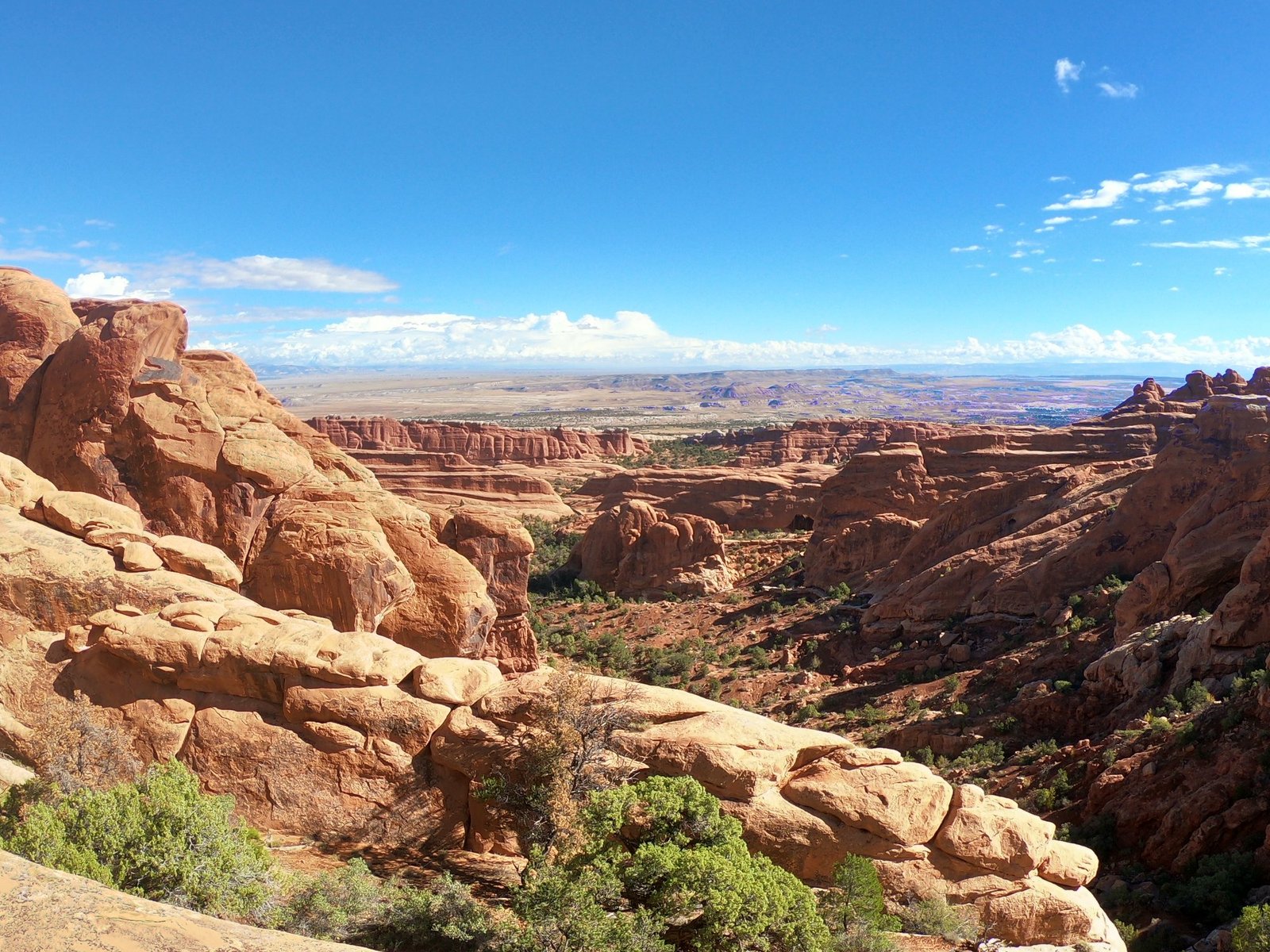
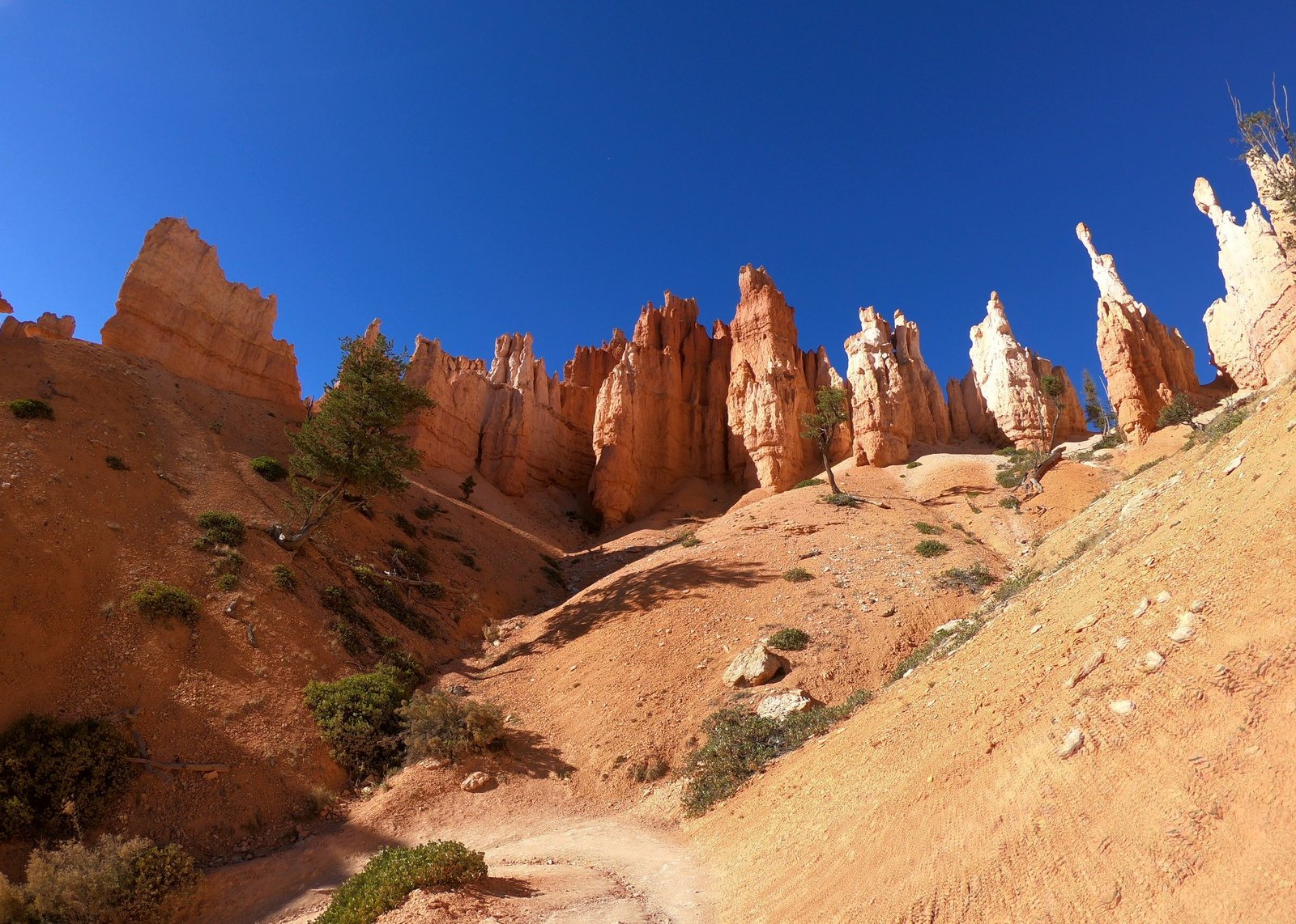
Photo gallery