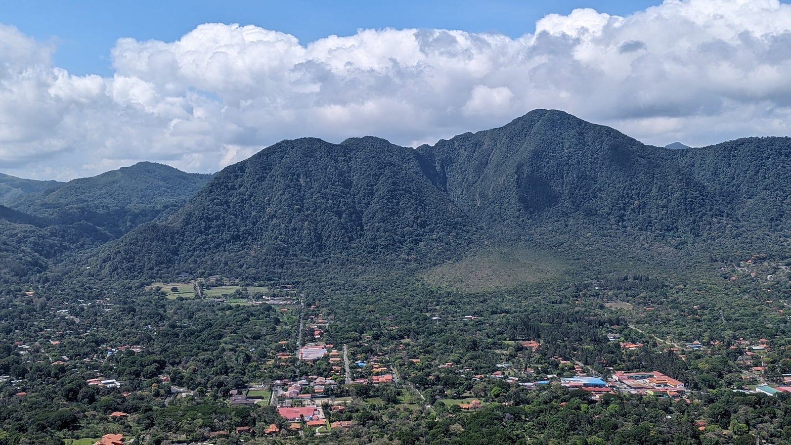
On Tuesday, 16 April 2024, we went to El Valle de Antón and stayed there until 21 April. Before that we had spent four days in Boquete – we hiked a different trail there every day, and one day we climbed Barú volcano (3475 m), Panama’s highest peak (more in the post Trails in Boquete and Barú volcano). El Valle de Antón is a valley formed more than a million years ago in the caldera of a huge, inactive volcano (its last eruptions were tens of thousands of years ago; the sign on Cara Iguana gives about 34,500 years) – the surrounding hills are its walls. The valley floor lies at about 600 m, and the peaks around it are 800–1100 m high, so the climbs are small and with relatively little effort you get beautiful views.
Four days, four different trails. We really liked three of them: La India Dormida (“the Sleeping Indian Girl”), Cerro Cara Iguana (“Iguana Face”) and Cerro La Silla (“the Chair”). The forest trail of Cerro Gaital did not impress us. To two trails we took a bus (about 10 minutes); to the other two we walked straight from the hostel. Apart from the most popular “Sleeping Indian Girl”, we did not meet many people on them. All four belong to the Ruta de la Caldera trail network – according to the signboards on the trails, about 30 km of routes along the mountains and ridges surrounding the valley.
The trails are easy, and it was dry too. But mountains are mountains – you always have to be careful and, above all, dress properly. We witnessed a rescue operation: a young man had probably broken his leg – and he had gone into the mountains in Crocs. He was not the only one, either.
 1:30
Table of contents
- La India Dormida – the Sleeping Indian Girl and petroglyphs
- Cerro Cara Iguana – a narrow ridge above the town
- Cerro La Silla – grassy ridges, a cross and a shrine
- Cerro Gaital – a forest trail to a viewpoint
- The town of El Valle de Antón – where we stayed and the weather
- Practical information
La India Dormida – the Sleeping Indian Girl and petroglyphs
On Wednesday, 17 April, we hiked the La India Dormida trail – the most popular of the four. Entry cost 3 USD, but only from one side. On the Ruta de la Caldera map this section is 6 km long, and the summit itself is 892 m a.s.l.
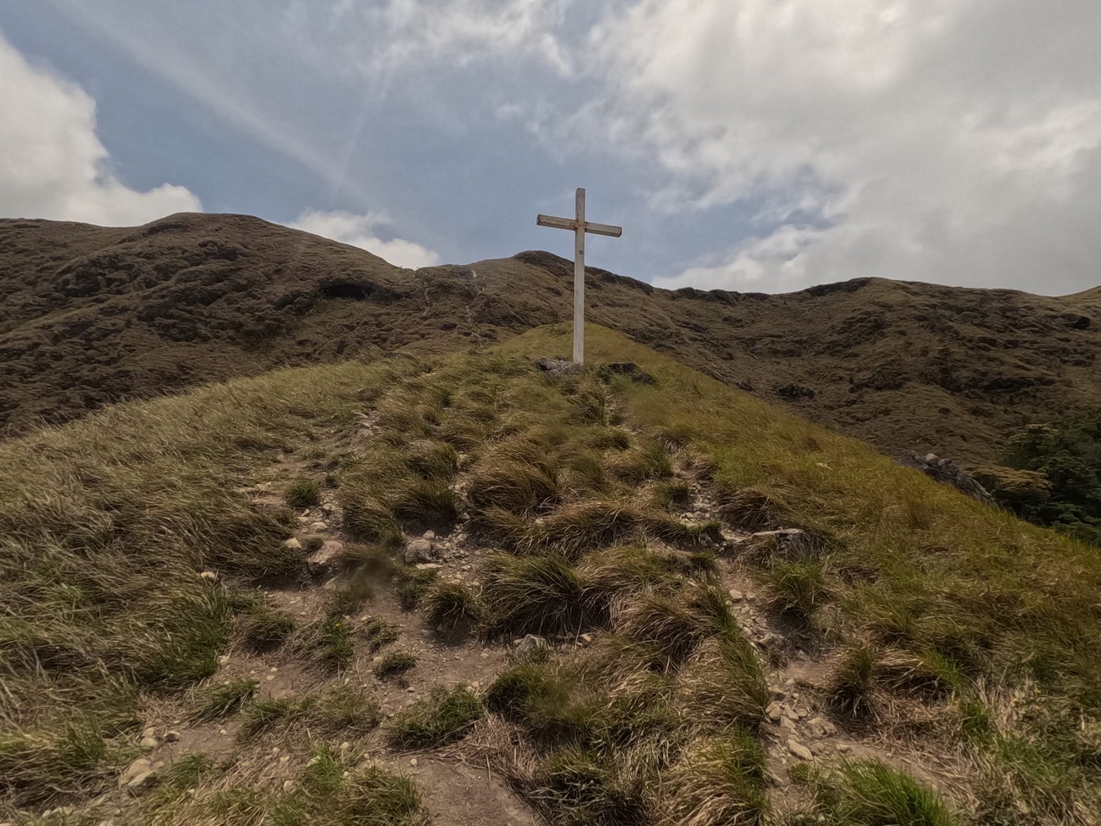
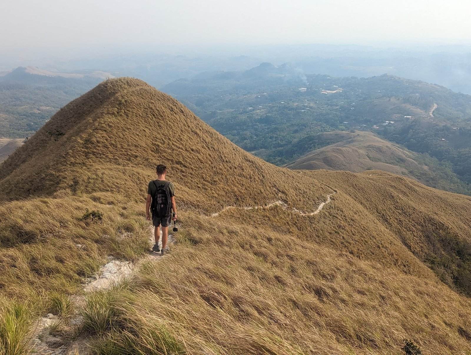
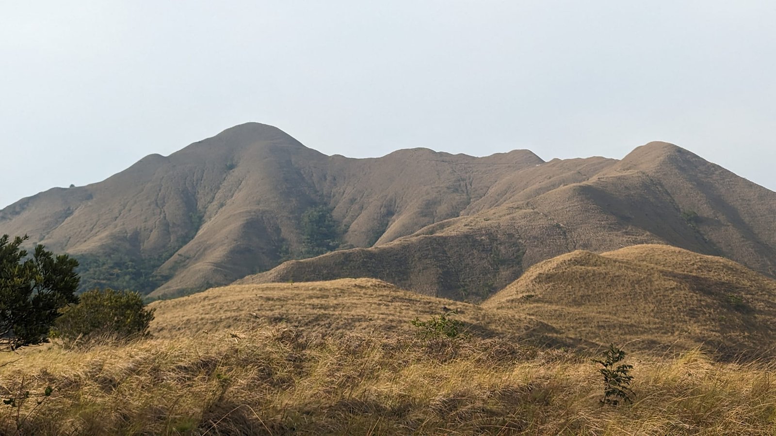
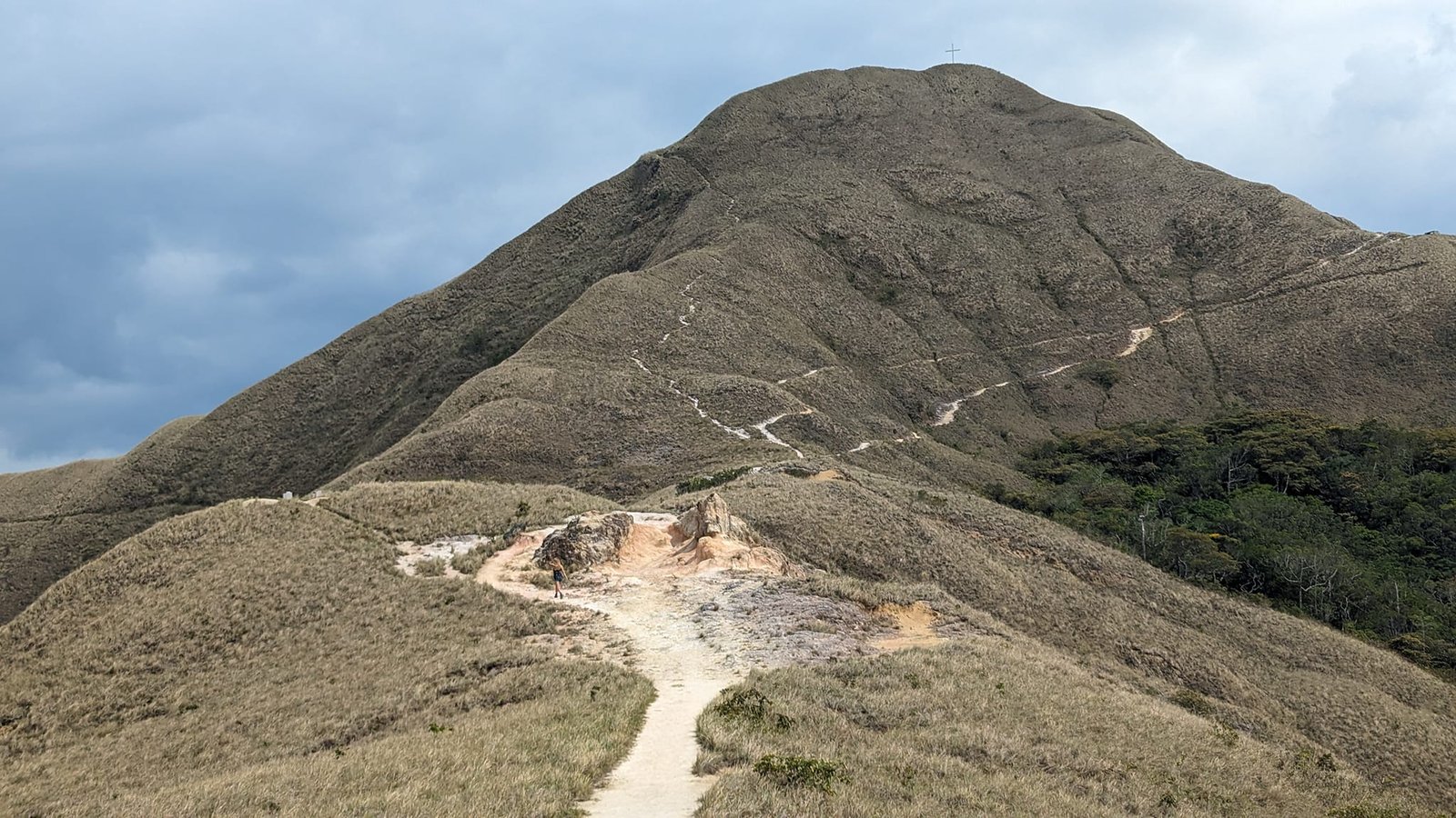
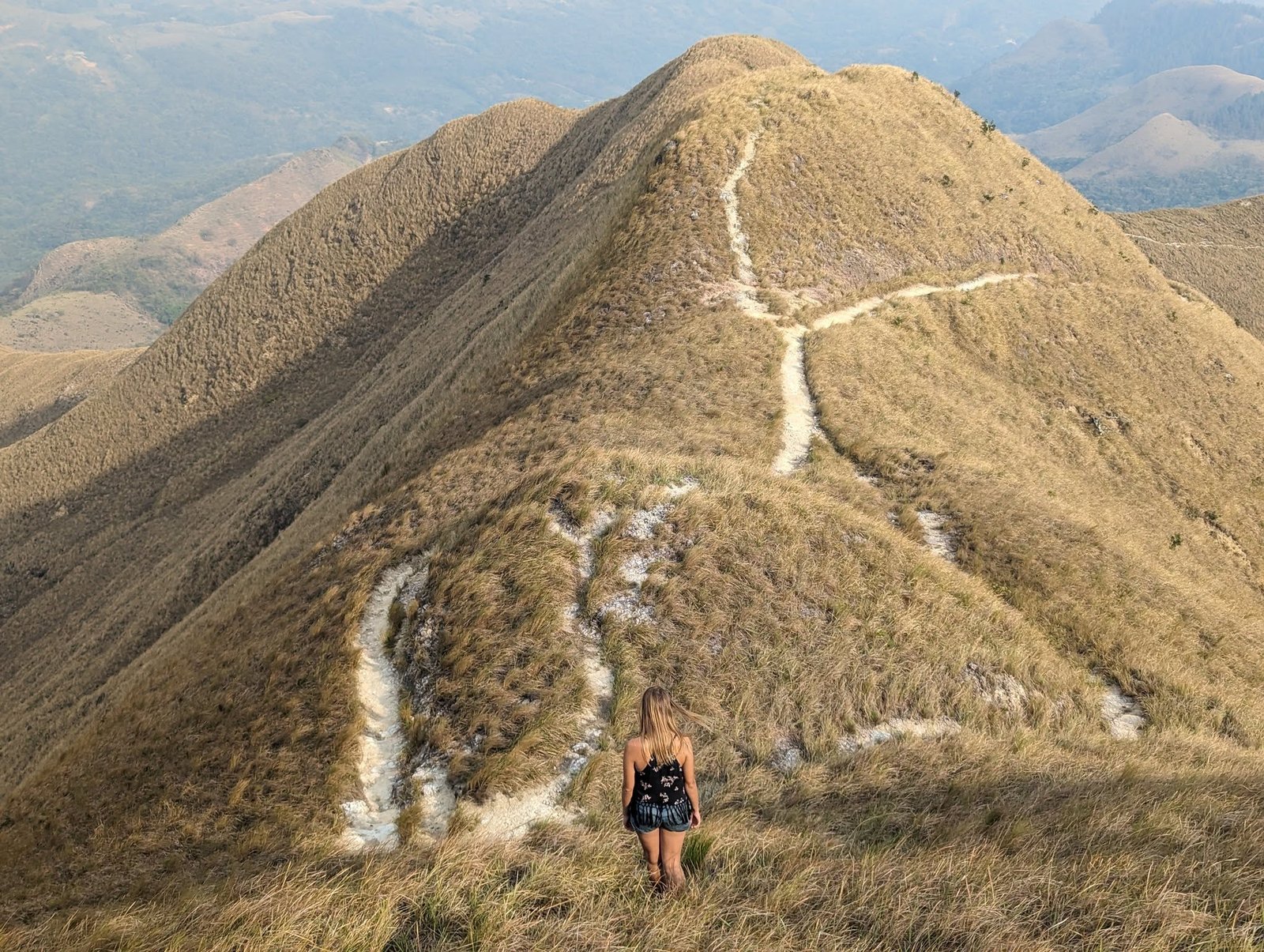
What are these mountains like? The forest grows only up to a certain height, and above it there is nothing but grass – a bit like the grassy ridges of the Bieszczady Mountains in Poland or the hills of Ireland.
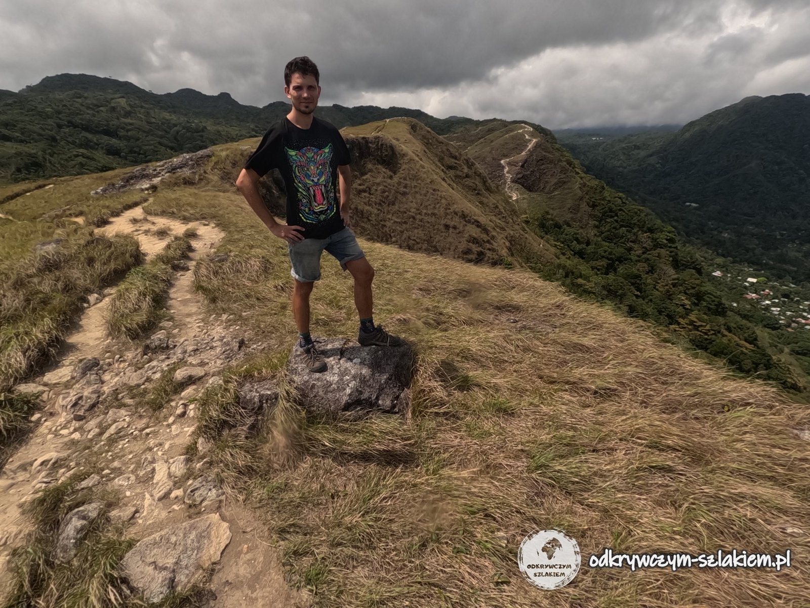
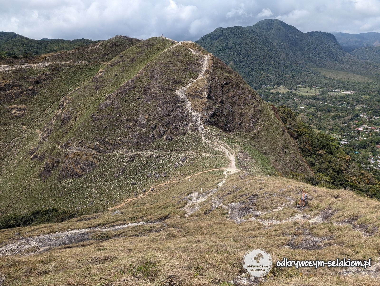
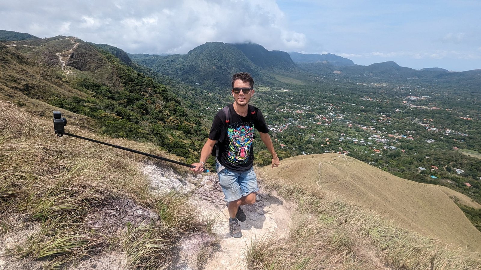
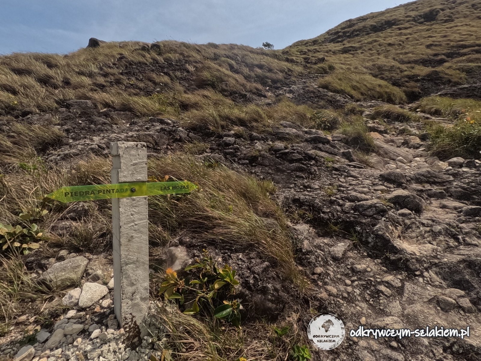
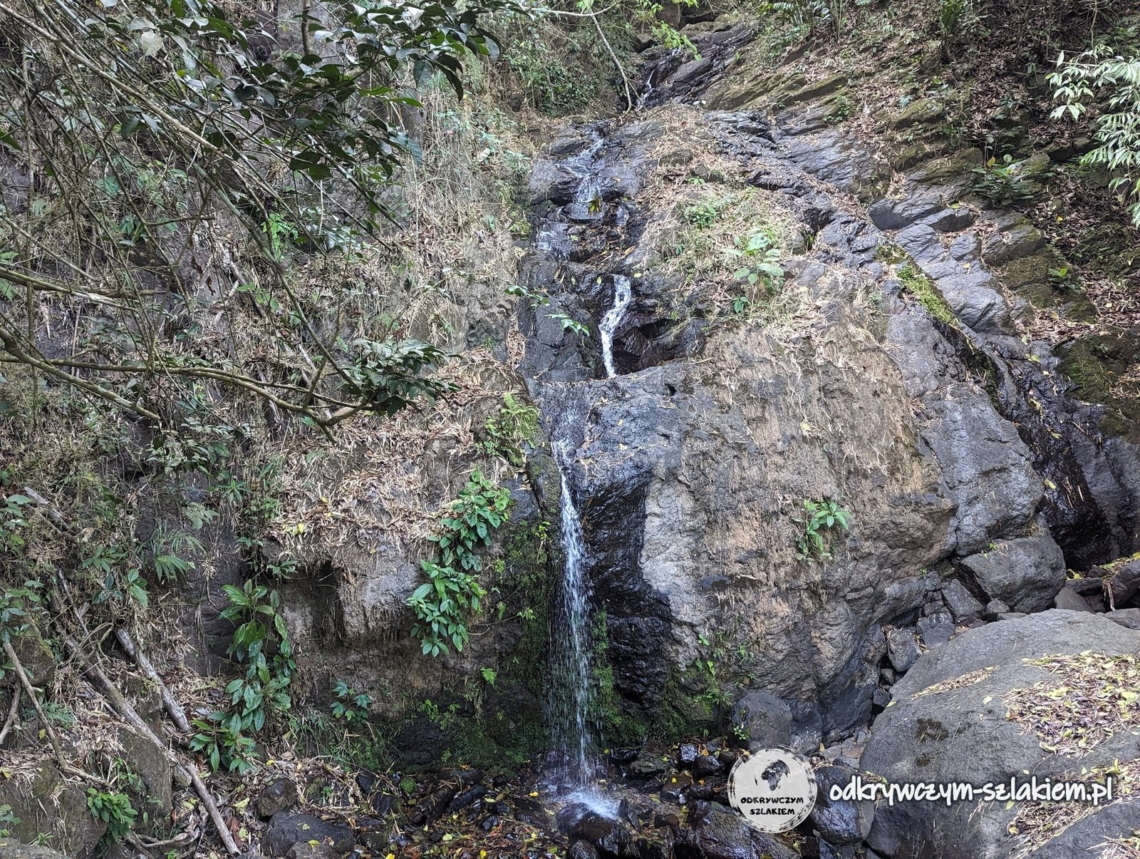
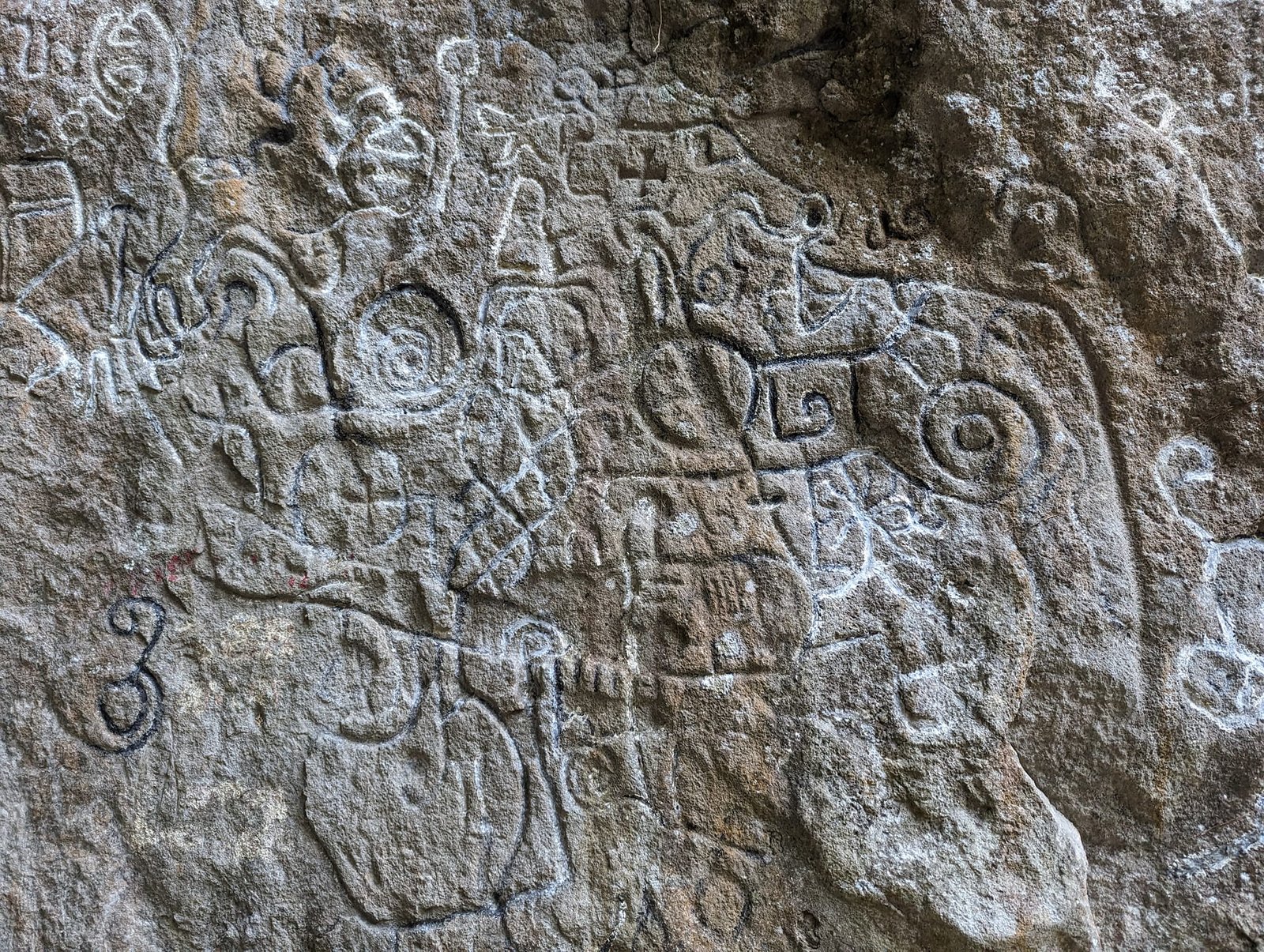
From the ridge we went down into the forest – we passed a small waterfall there, and right by the trail we also came across a rock with carved petroglyphs. A signpost on the ridge points to the Piedra Pintada rock – the signboard of the La India Dormida water reserve describes it as a huge boulder of volcanic origin with pre-Columbian carvings.
According to the same signboard, the first people arrived in the valley about 14,000 years ago, and the meaning of the carvings has still not been deciphered: archaeologists link them to beliefs about the natural world, historians see a harvest calendar in them, and others a map of rivers, mountains and paths. Since 2002 all petroglyphs in Panama have been protected as national historic monuments.
Cerro Cara Iguana – a narrow ridge above the town
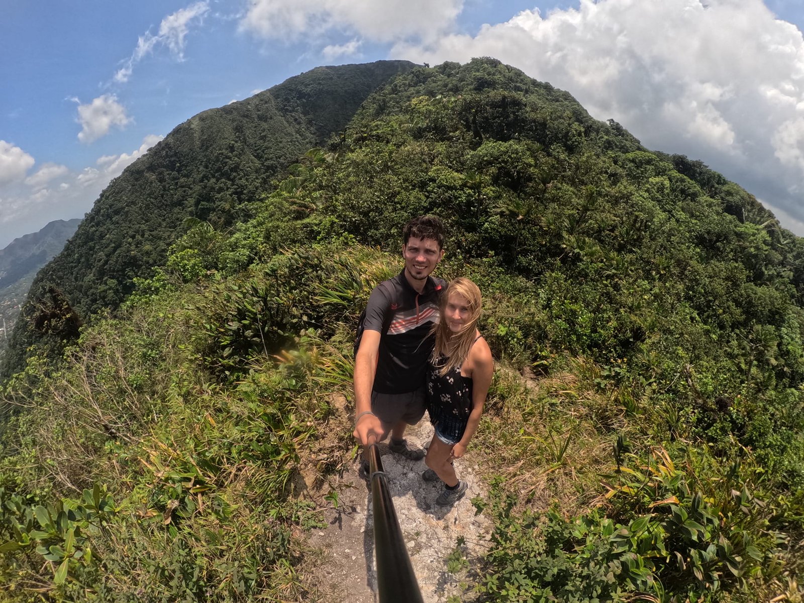
On Thursday, 18 April, we set off for Cerro Cara Iguana. The name (“Iguana Face”) comes from the silhouette of the ridge, which looks like an iguana lying down – as a signboard by the trail explains. According to the map the summit is 898 m a.s.l., and the Ruta de la Caldera section is 6.3 km long. We walked from the town, and including the way back the app recorded 12.25 km and 673 m of elevation gain.
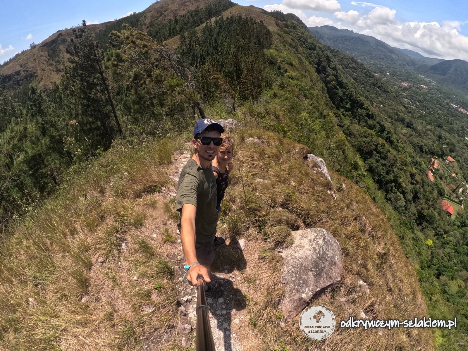
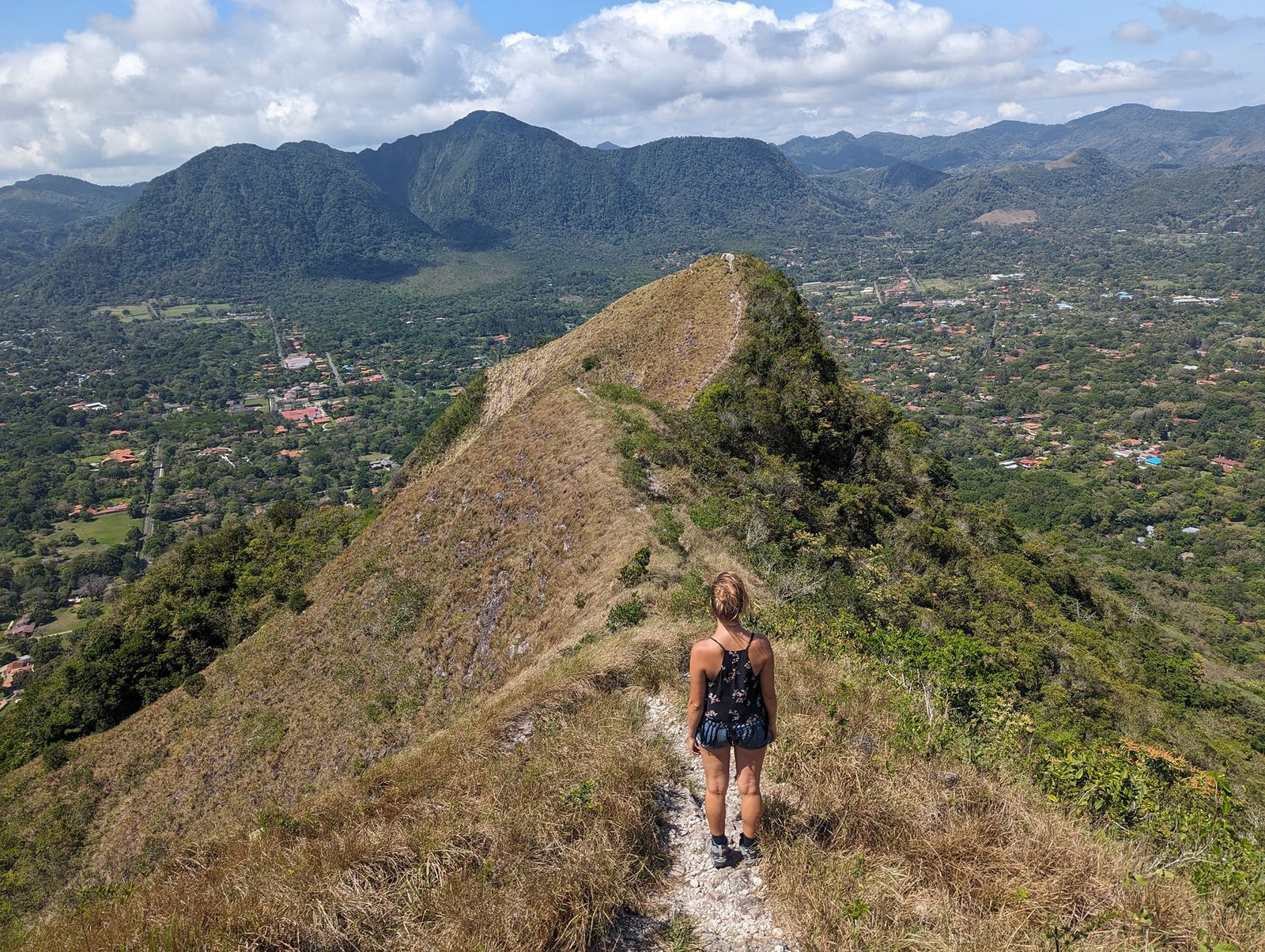
The signboards by the trail also explain why there is grass on the ridges instead of forest. Cara Iguana, India Dormida, La Cruz and Violín are the walls of an ancient volcano, and the soil on their ridges forms from very “young” volcanic rocks that have not yet weathered enough for a forest to grow on them. Here and there, however, there are Caribbean pines, planted by people from the nearby villages and the Ministry of the Environment. The Farallón and Hato rivers rise on the slopes of Cerro Cara Iguana, and 12 nearby communities get their drinking water from them – which is why it has been a water reserve since 2009.
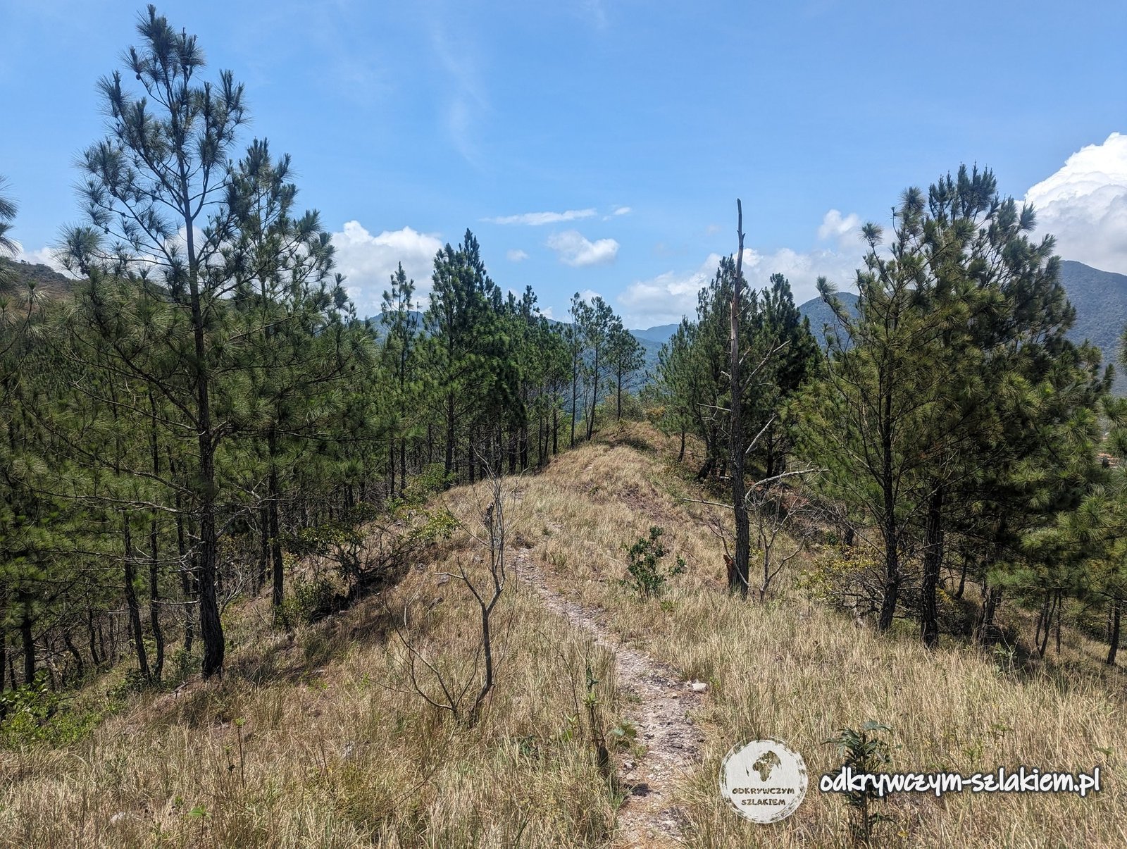
Cerro La Silla – grassy ridges, a cross and a shrine
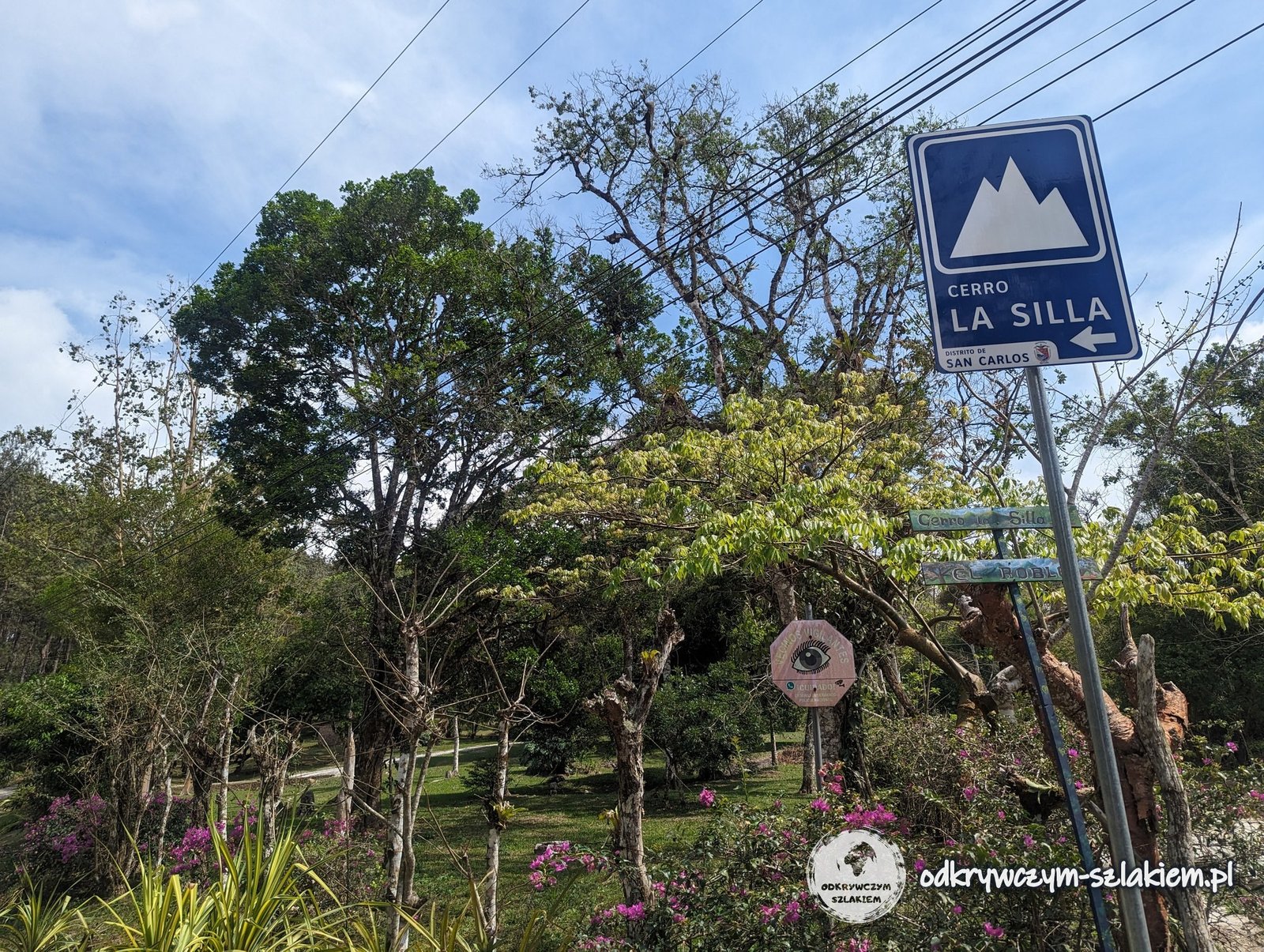
On Friday, 19 April, it was the turn of Cerro La Silla (“the Chair”). We turned off the asphalt road onto the trail at a blue “Cerro La Silla” sign, and soon afterwards we passed transmitter masts – on the Ruta de la Caldera map this point is called Las Antenas.
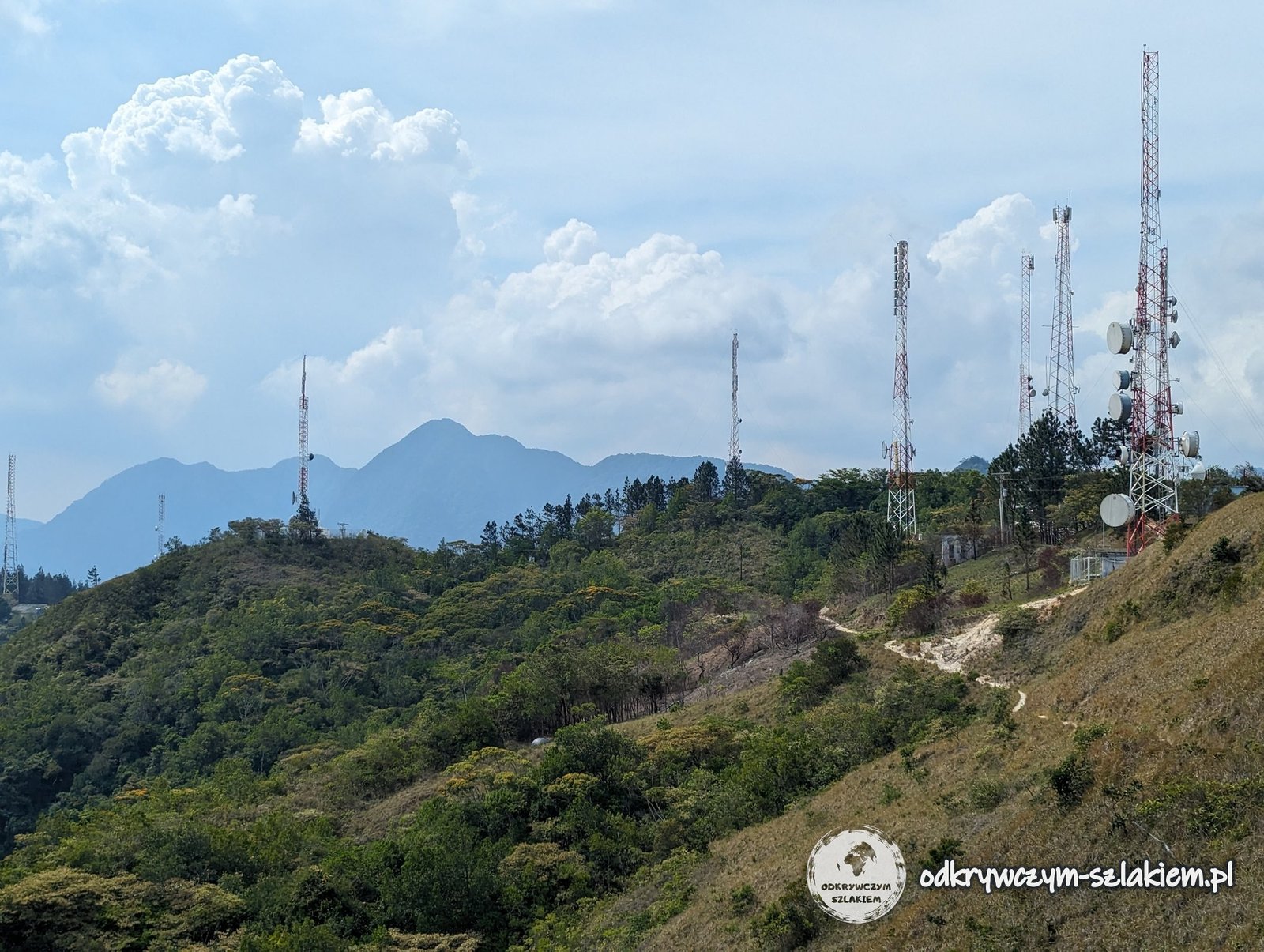
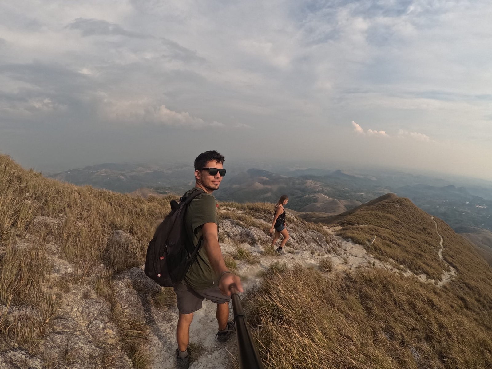
Further on, the trail follows long, grassy ridges. According to the map La Silla is 822 m a.s.l. On the Ruta de la Caldera signboard the whole Macano – La Silla section is 9.4 km and 5–7 hours of walking – it is the only one of the four marked as difficult.
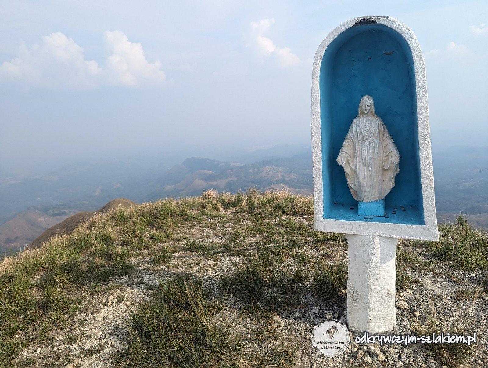
On the ridges stand a tall cross and a shrine with a statue of the Virgin Mary.

Cerro Gaital – a forest trail to a viewpoint
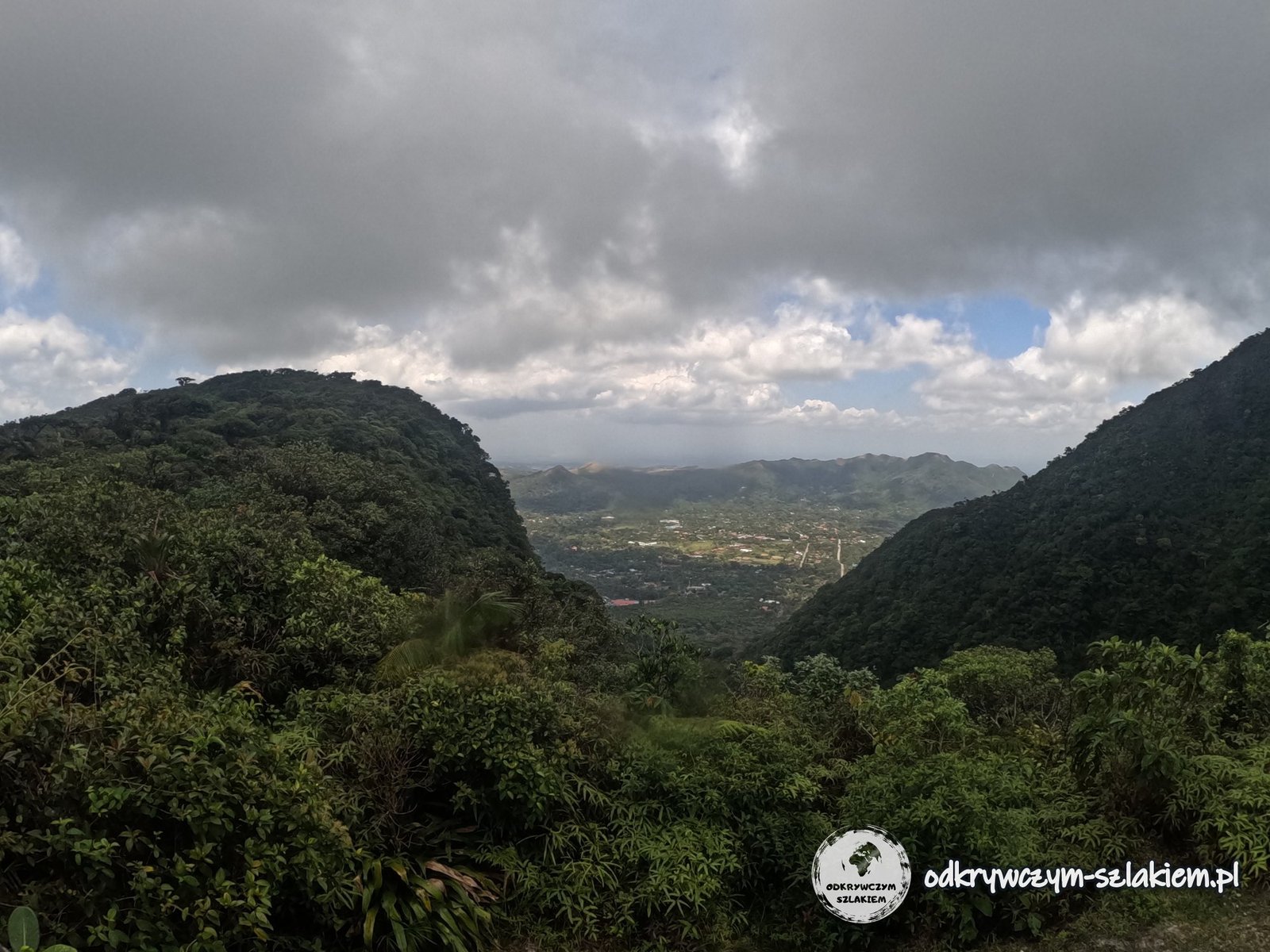
On Saturday, 20 April, we had Cerro Gaital left – the only one of the four trails that runs mainly through forest. It is a natural monument (Monumento Natural Cerro Gaital) created in 2001 and covering 511 ha; the name comes from the gaita palm that grows here. According to the signboard, Cerro Gaital (1138 m a.s.l.), Caracoral (1028 m) and Pajita (1045 m), known as “Las Tres Marías”, are volcanic domes pushed up by magma after the El Valle volcano collapsed about a million years ago. The Antón River, which flows to the Pacific, and the Indio River, which flows to the Caribbean Sea, also rise here – the latter is essential for the operation of the Panama Canal.
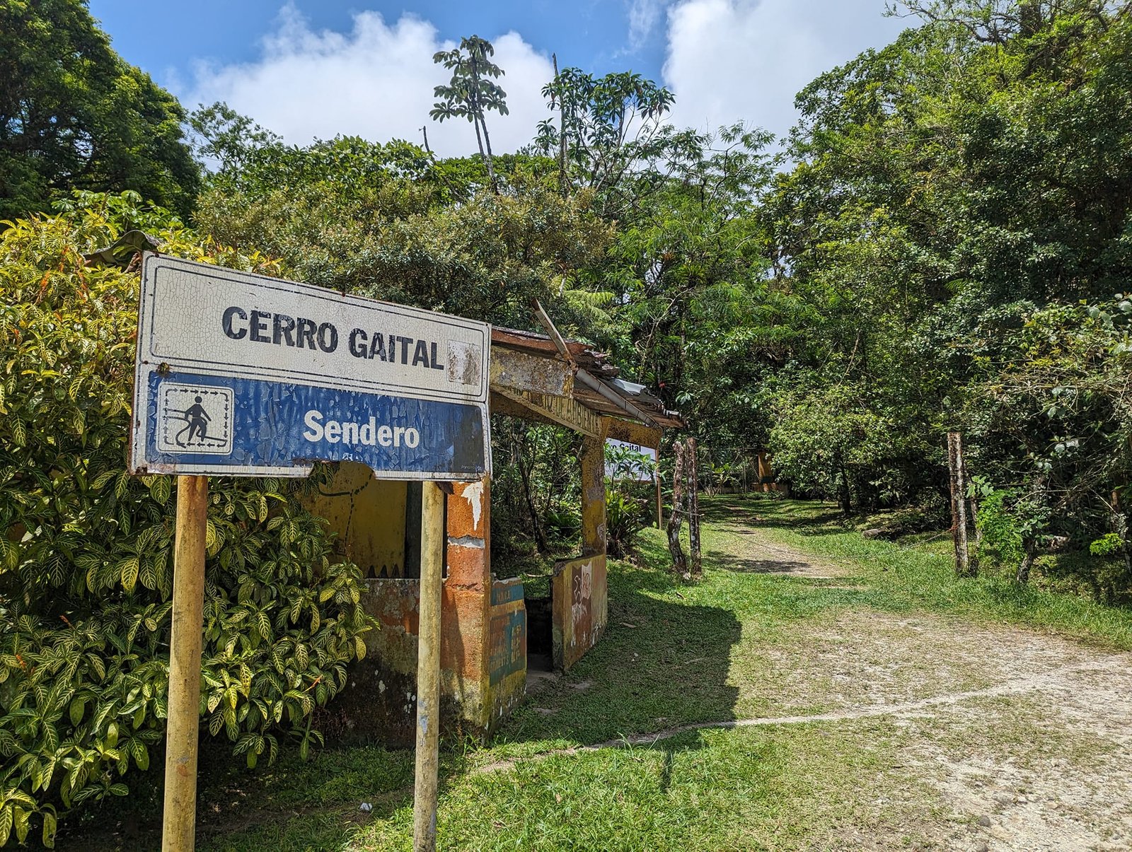
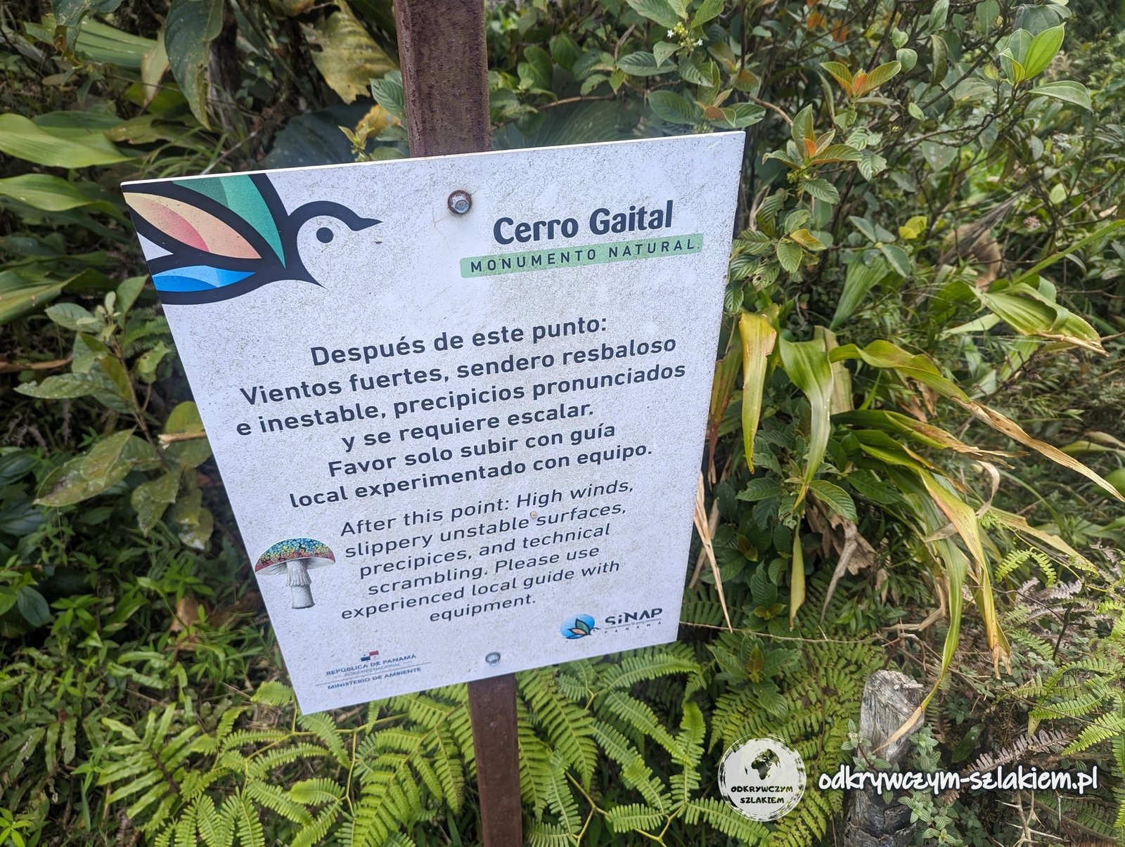
The trail is a loop to a viewpoint – according to the signboard 1.7 km and 1–1.5 hours. Beyond it, a path leads to the summit itself, with a warning sign in front of it: strong winds, a slippery and unstable path, steep drops and scrambling – go up only with an experienced local guide with equipment.
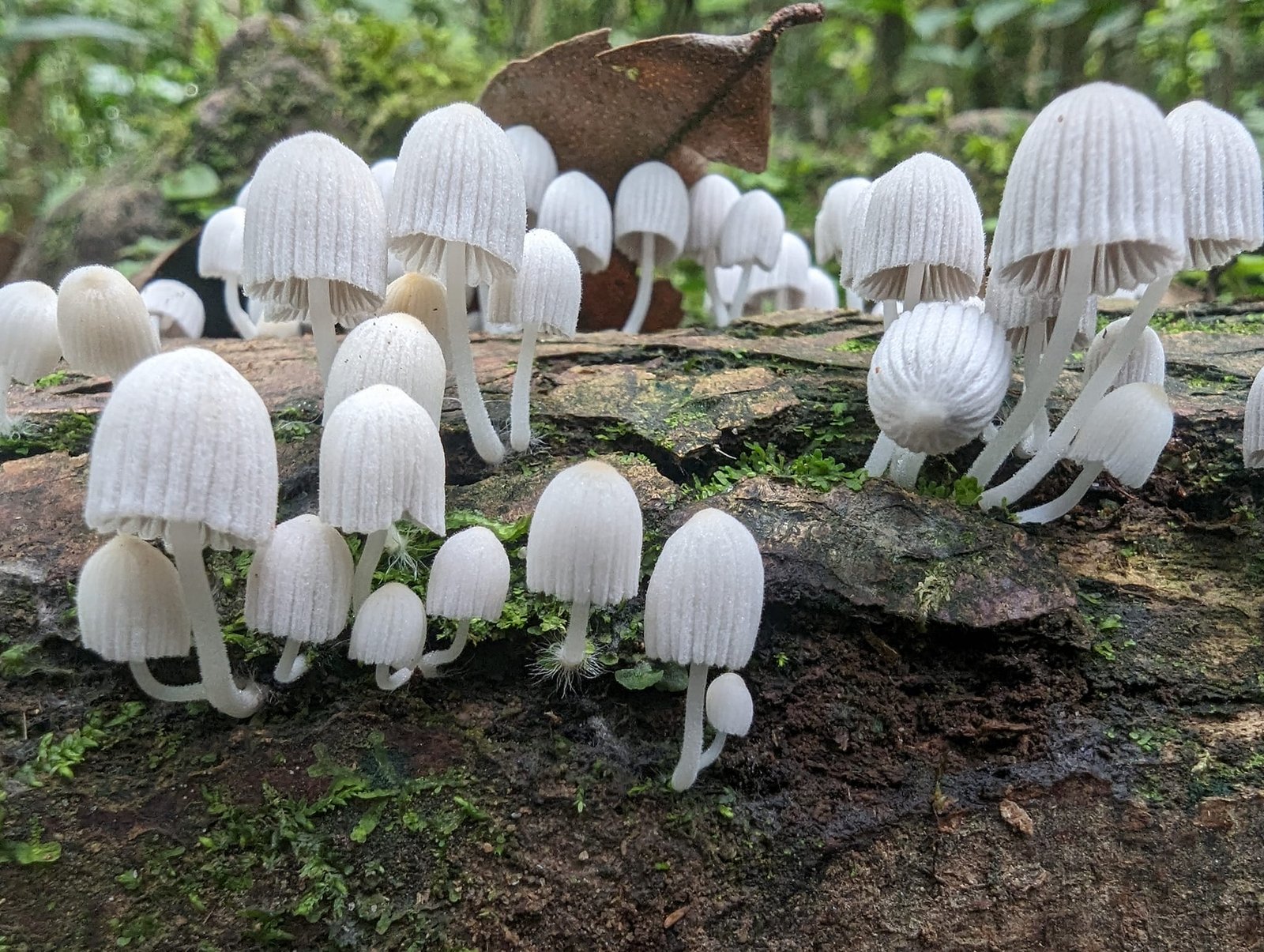
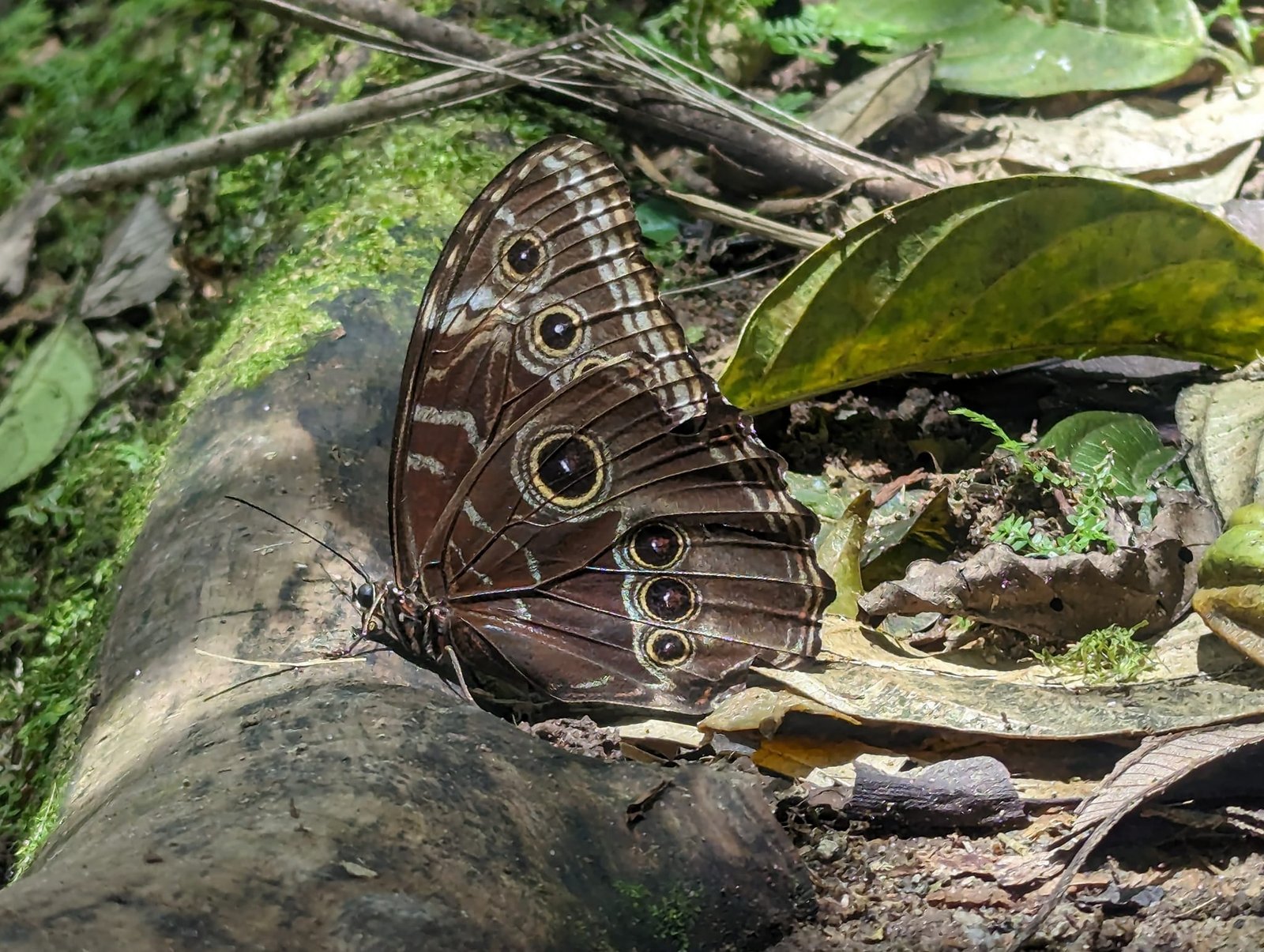
In the forest we came across a trunk covered in white mushrooms and a butterfly with eyespots on its wings.
The town of El Valle de Antón – where we stayed and the weather
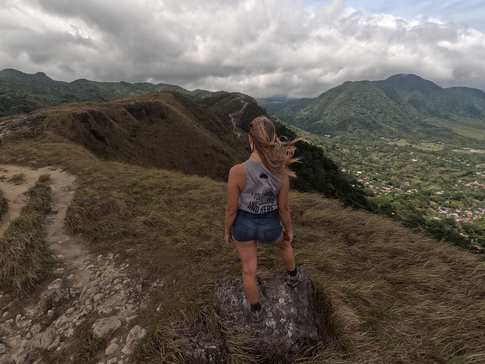
We hit the weather window perfectly: it was windy every day, but it only got really cloudy and rainy on the day we left for the capital. We stayed at the Don Casa de Juan hostel – the best value we could find. The town itself is small and quiet, with a church, a market full of fruit and brightly painted buses. We saw the church and the market on Thursday morning, before setting off on the Cara Iguana trail.
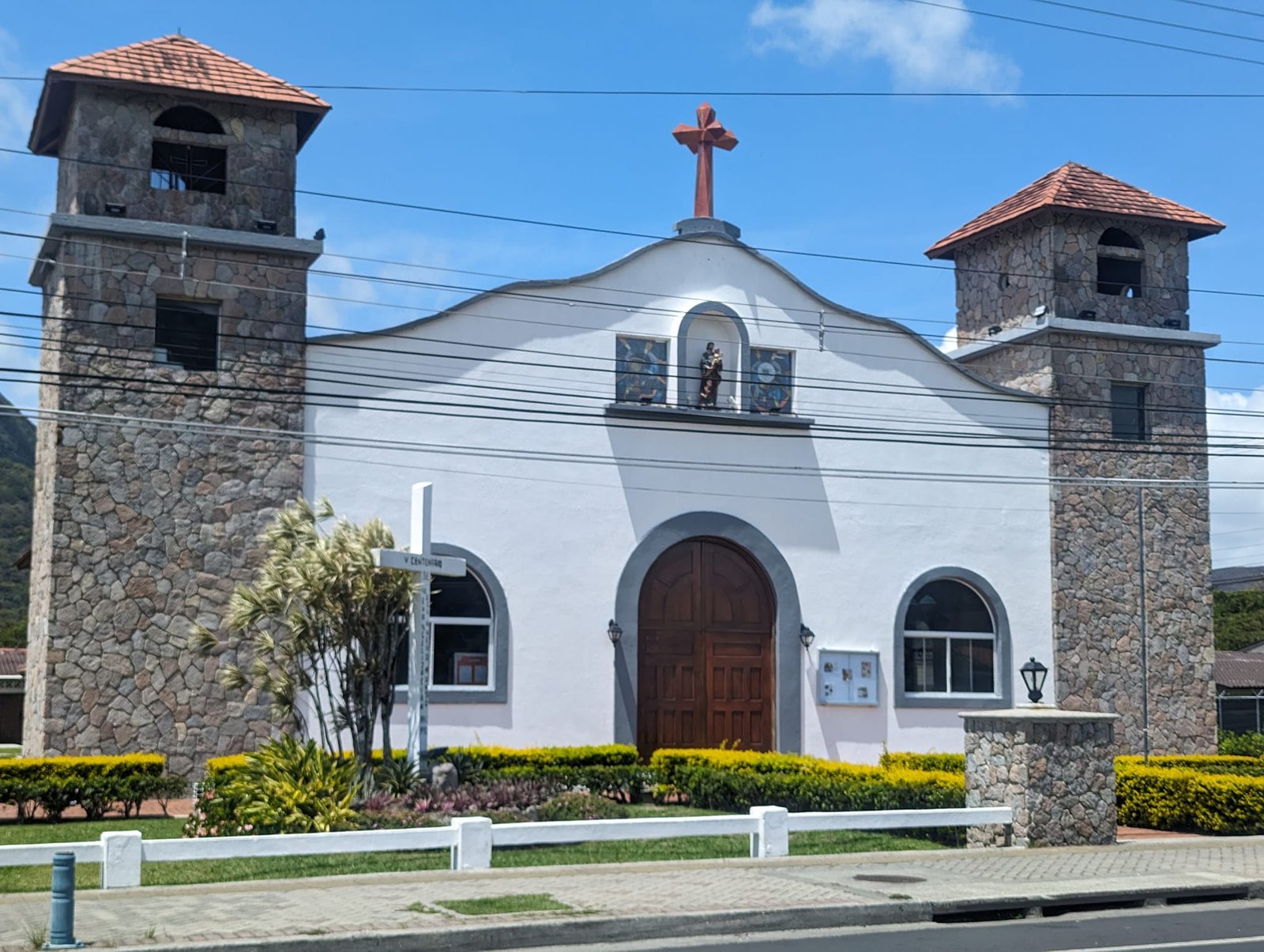
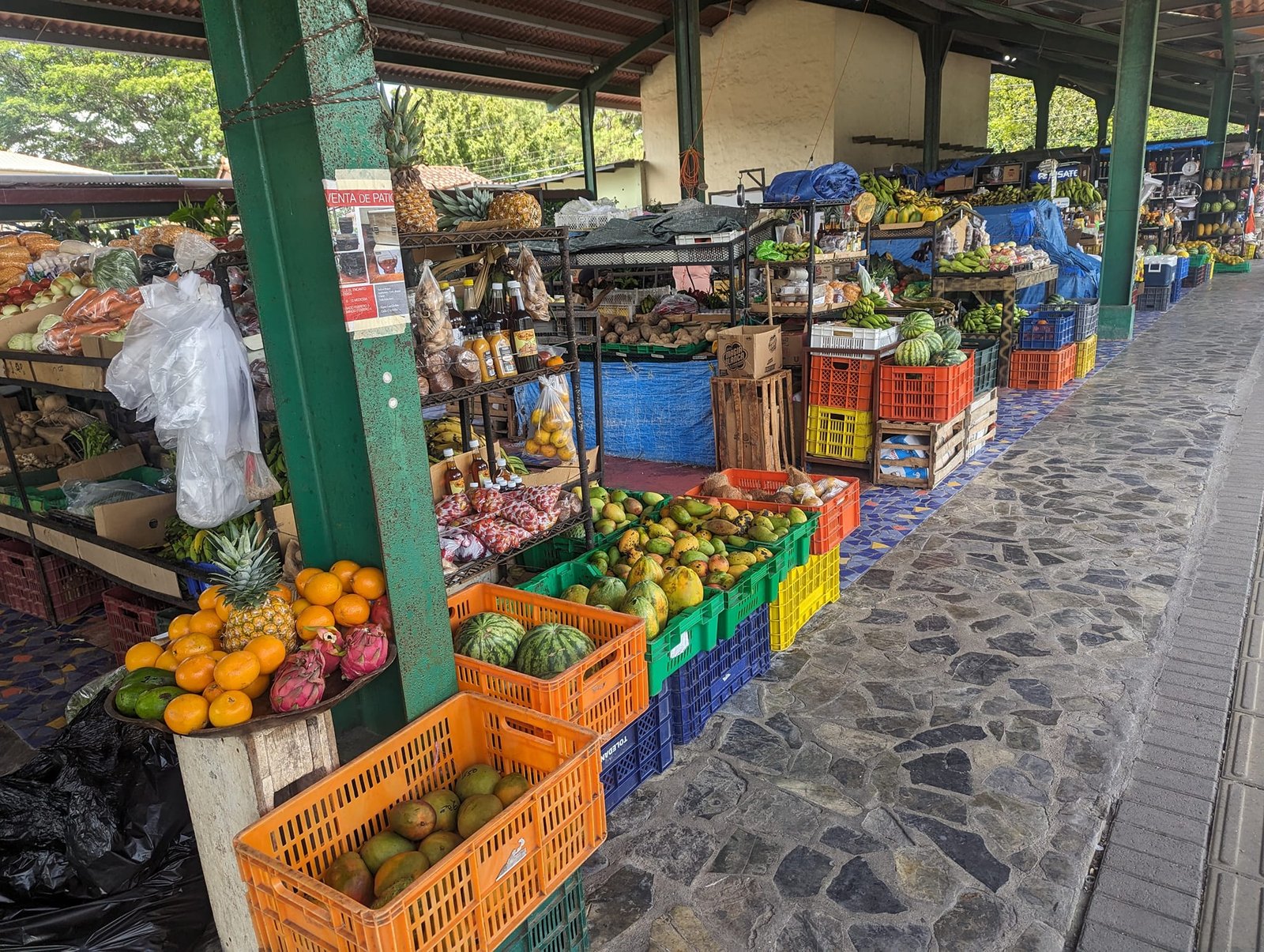
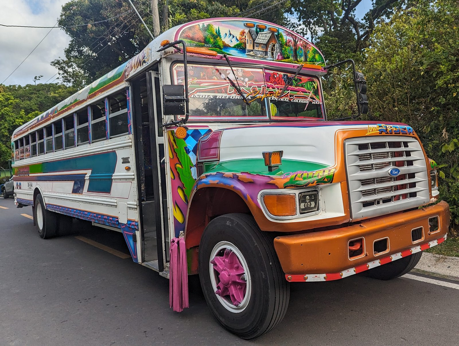
On Sunday, 21 April, we took a bus from El Valle de Antón to the capital – more about it in the post Panama City – the Panama Canal, Casco Viejo and wildlife in the middle of the capital.
Practical information
- Trails – La India Dormida, Cerro Cara Iguana, Cerro La Silla and Cerro Gaital are part of the Ruta de la Caldera trail network (about 30 km of routes around the valley). To two of them we took a bus (about 10 minutes); to the other two we walked from the town.
- Distances and times from the signboards (April 2024) – La India Dormida: 6 km, 4–6 h, moderately difficult (summit 892 m a.s.l.); Cara Iguana: 6.3 km, 3.5–4.5 h, moderately difficult (898 m a.s.l.); Macano – La Silla: 9.4 km, 5–7 h, difficult (La Silla 822 m a.s.l.); Cerro Gaital: loop to the viewpoint 1.7 km, 1–1.5 h, and to the summit (1138 m a.s.l.) only with a guide and equipment.
- Entry – 3 USD for the La India Dormida trail, but only from one side (April 2024).
- Accommodation – Don Casa de Juan hostel, the cheapest we found (April 2024).
- Weather and wind – in April it was windy every day, but dry. Signboards on the Cara Iguana and Cerro Gaital trails warn of strong winds in the dry season in treeless areas and at viewpoints.
- Water and safety – according to the signboard there is no access to water on the Cara Iguana trail, and some sections run along drops without railings; lighting fires is not allowed either.
- Costs – throughout Panama (22 days) we spent on average 24 USD (about €23) per person per day, counting all expenses.
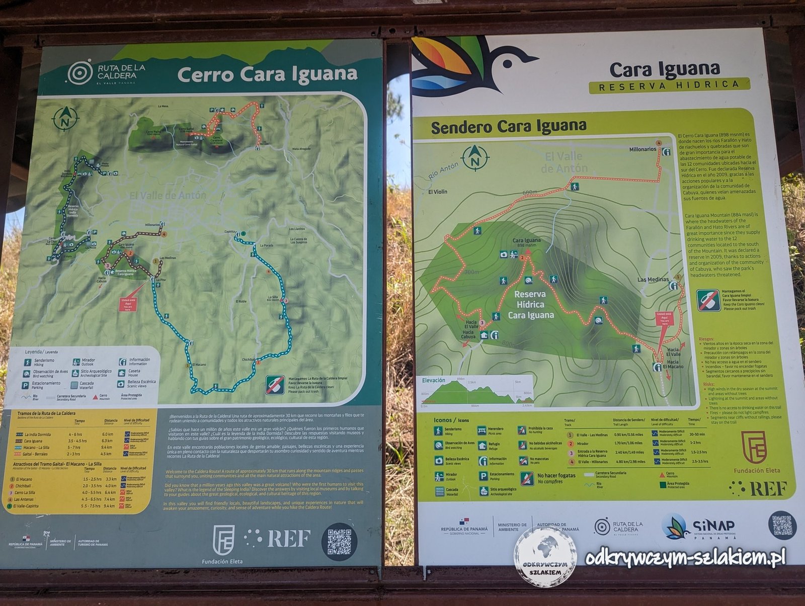
Photo gallery