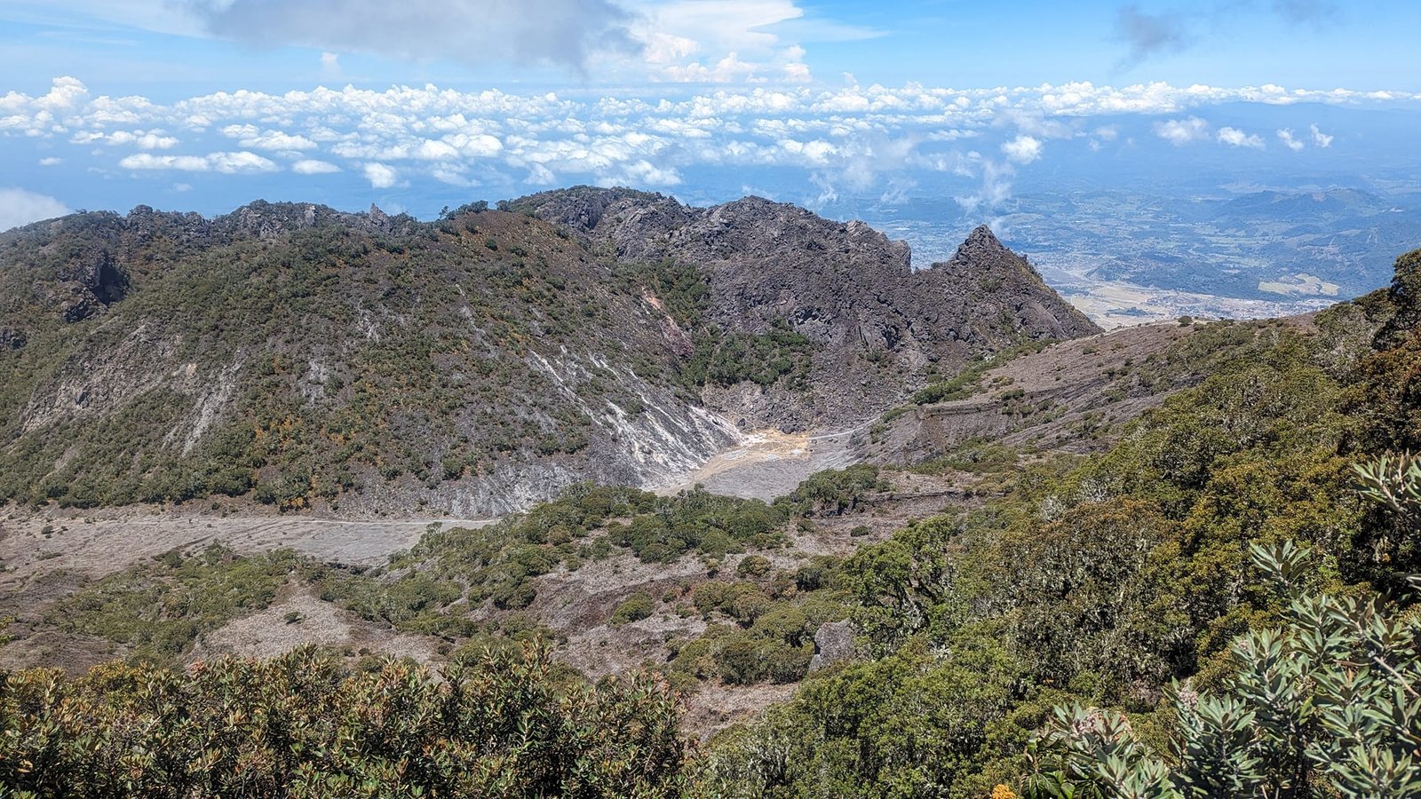
After a few rainy days in Costa Rica’s cloud forests, La Fortuna and Cahuita National Park, on 11 April 2024 we crossed into Panama – the eighth country of our trip through Latin America. As our first stop we chose Boquete in Chiriquí province: a mountain town surrounded by cloud forests at the foot of the country’s highest peak, the Barú volcano. We spent four full days there and hiked one trail each day – three fairly easy ones (El Pianista, the hanging bridges and The Pipeline) and one demanding one, to the very summit of Barú (3475 m). Then we moved on to El Valle de Antón, a valley in the caldera of an ancient volcano, where the next four days went the same way: a different trail every day. These day-after-day mountain hikes were our most interesting adventure in Panama.
 1:30
Table of contents
- From Costa Rica to Boquete
- El Pianista – fog, ravines and a memorial cross
- The hanging bridges of Boquete Tree Trek
- The Pipeline – a thousand-year-old tree and a hidden waterfall
- Barú volcano (3475 m) – Panama’s highest peak
- El Valle de Antón – four trails in a volcanic caldera
- Practical information
- Summary
From Costa Rica to Boquete
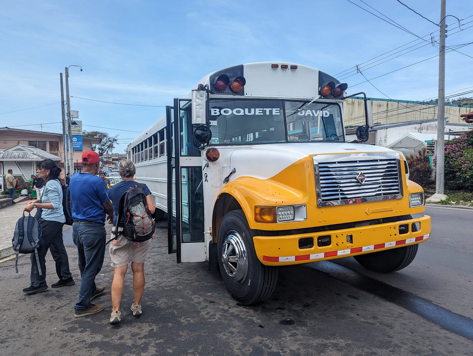
From Cahuita, the nearest border crossing was the one on the Caribbean coast (Sixaola – Guabito). The border turned out to be one of the quickest of the whole trip – when we entered Panama nobody even checked our onward tickets. In the city of David we only changed buses, and we reached Boquete that same day.
The town has two parts: Bajo Boquete – the centre with bus stops, shops and tour agencies – and Alto Boquete, higher up. We stayed in the latter, at The Yellow House hostel, which we highly recommend: a well-equipped kitchen (we cooked for ourselves the whole time), very fast internet, a competitive price, plus a washing machine and dryer at no extra cost. The only downside was getting around – for every trail we first had to take a bus or a taxi to Bajo Boquete, although it is under 10 minutes.
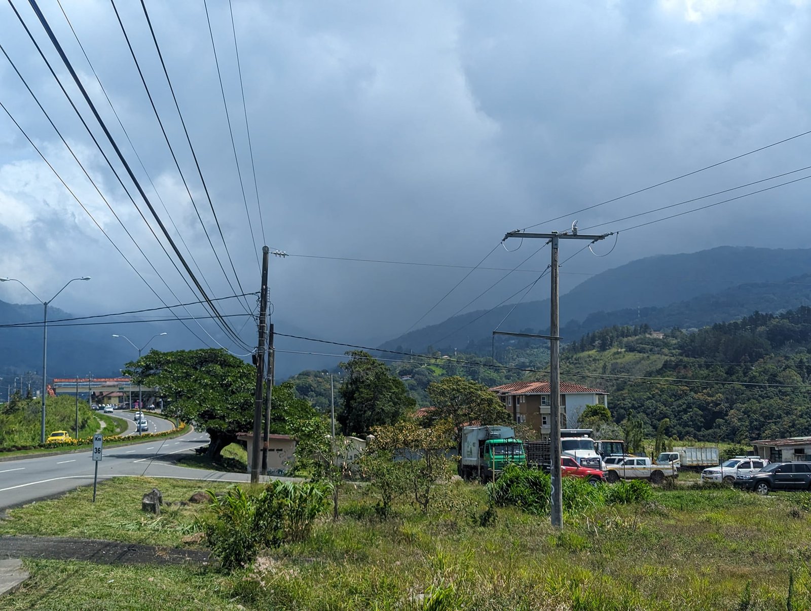
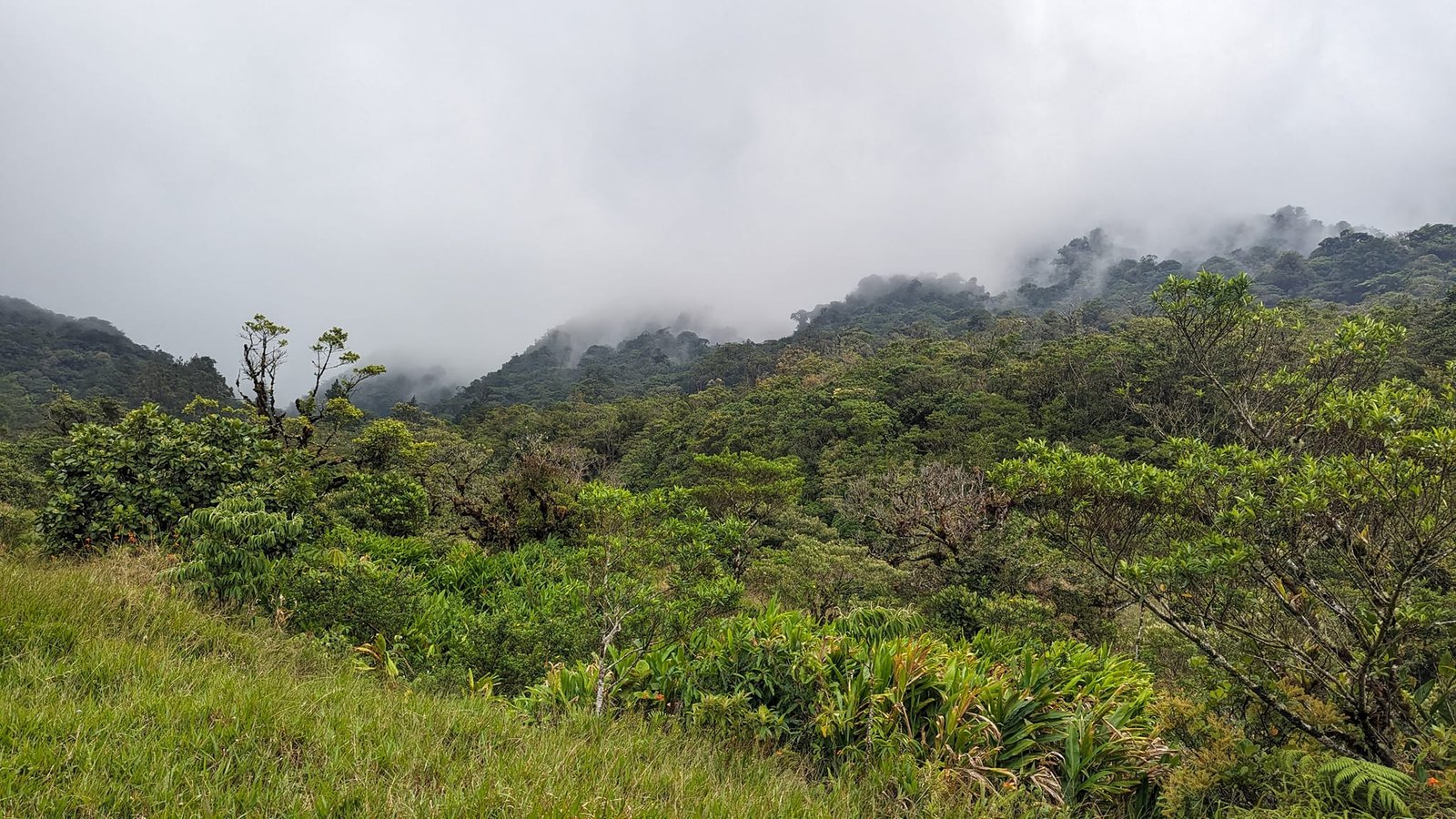
The weather did not spoil us at first. Despite good forecasts, the first two days were awful – strong wind and a damp breeze. We were staying right next to the cloud forests, and the climate here was exactly the same as in Costa Rica shortly before: lots of fog, poor visibility and a lot of moisture. Luckily, the following days were brighter.
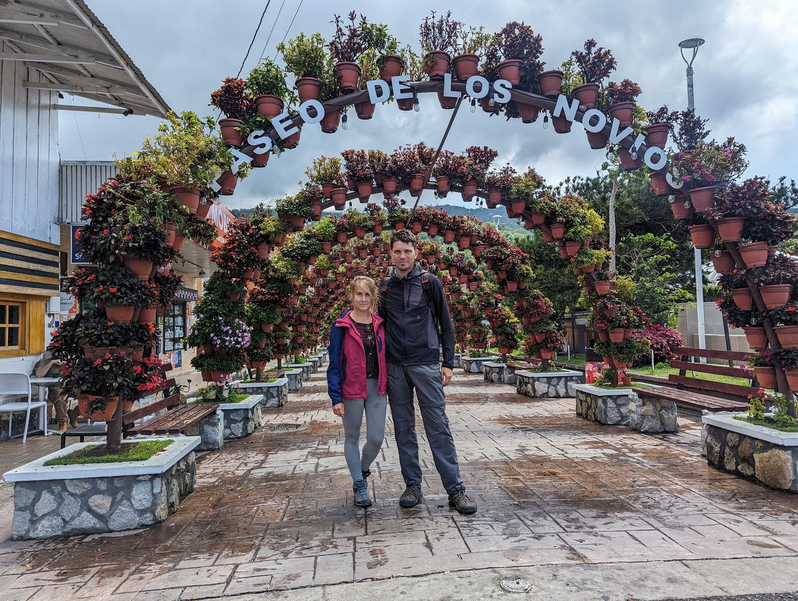
El Pianista – fog, ravines and a memorial cross
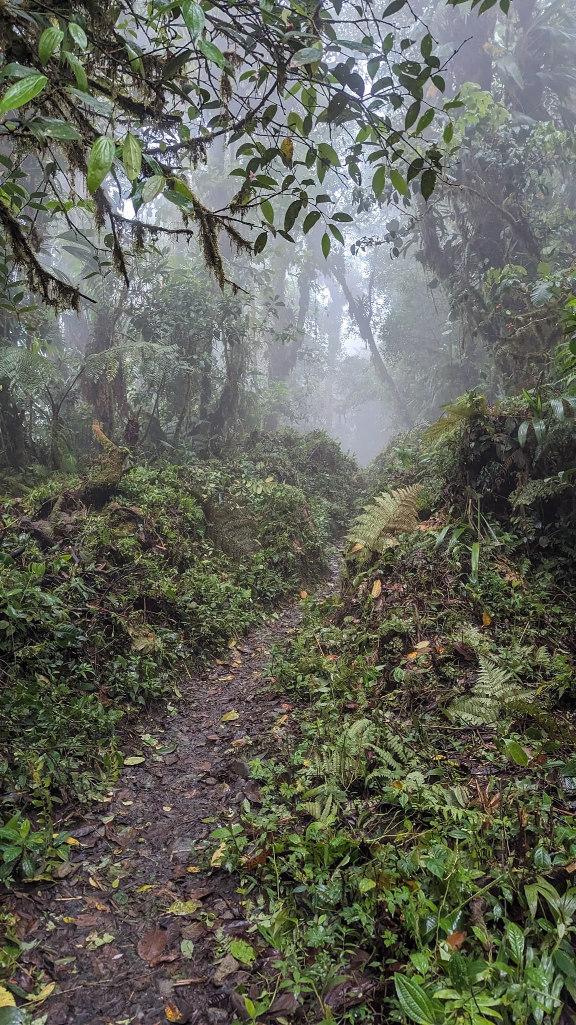
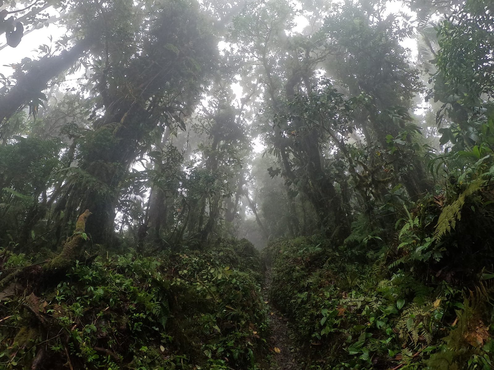
On Friday, 12 April, we hiked the El Pianista trail: about 9 km return and 600 m of elevation gain. The first section runs past grassy fields and meadows – a bit like Ireland. Until the forest began we still had nice views; after that we could see practically nothing through the fog.
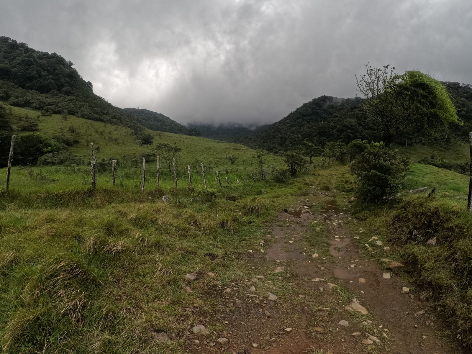
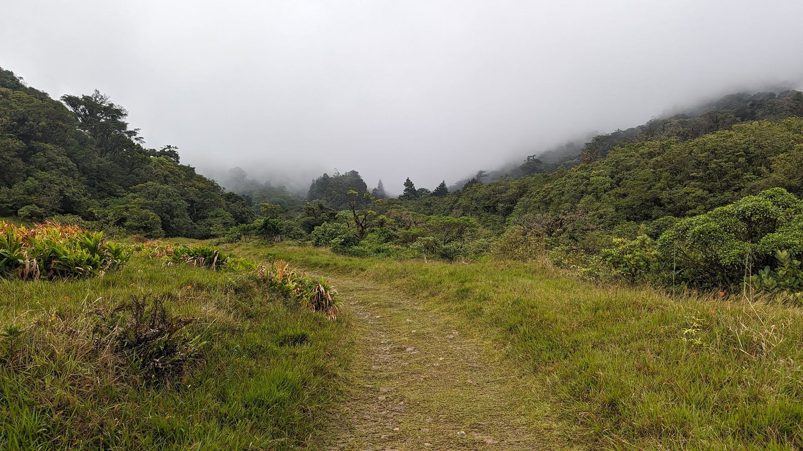
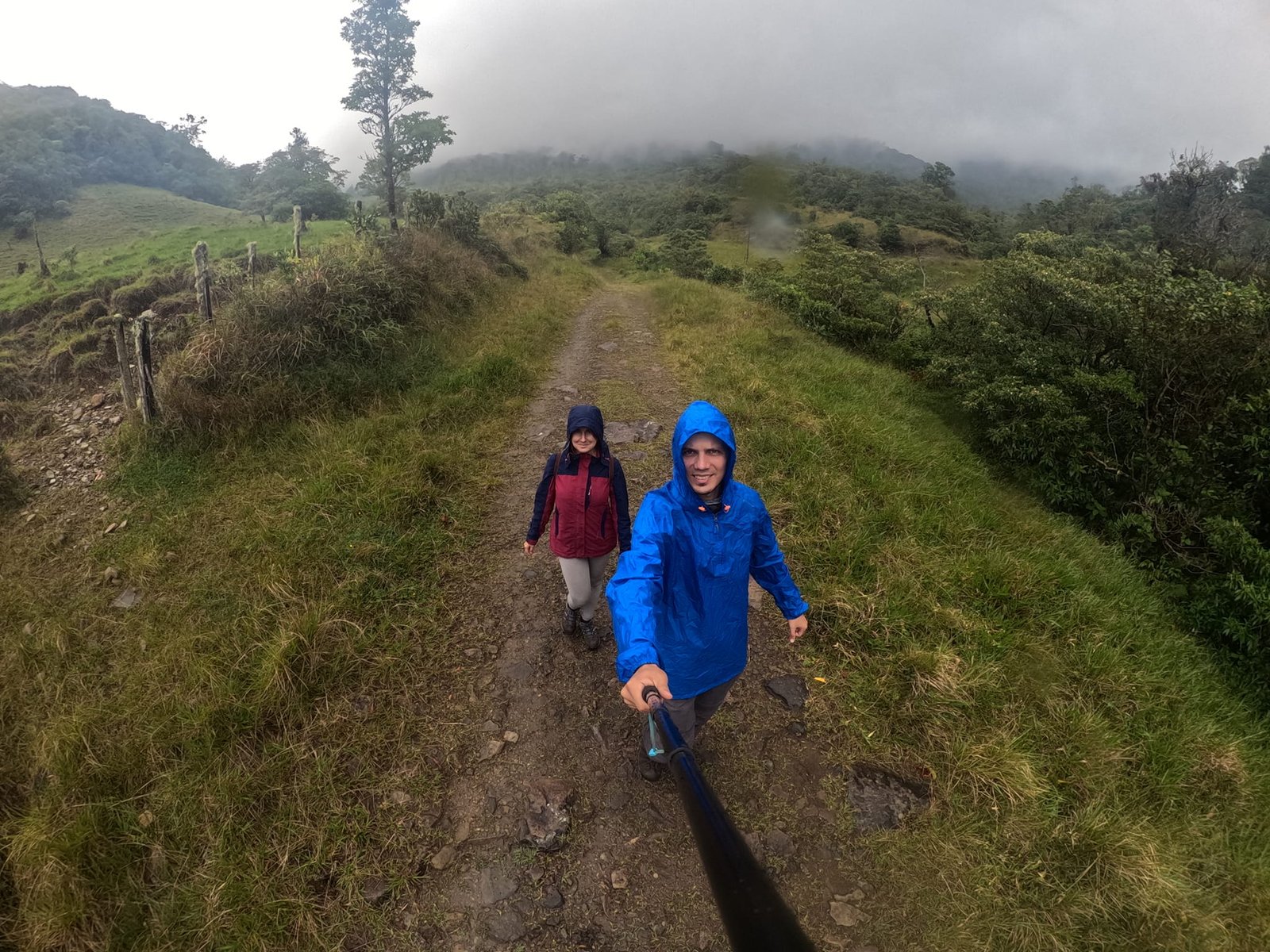
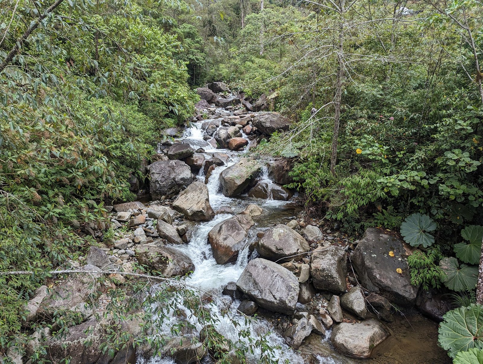
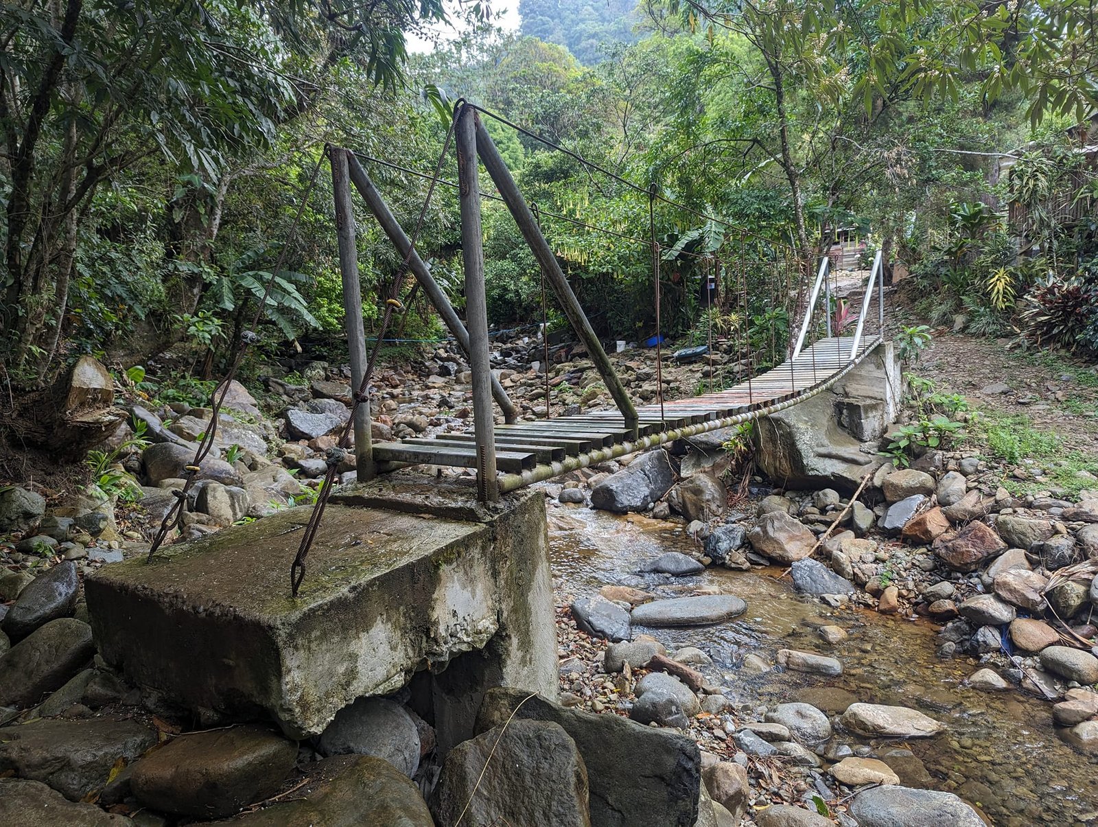
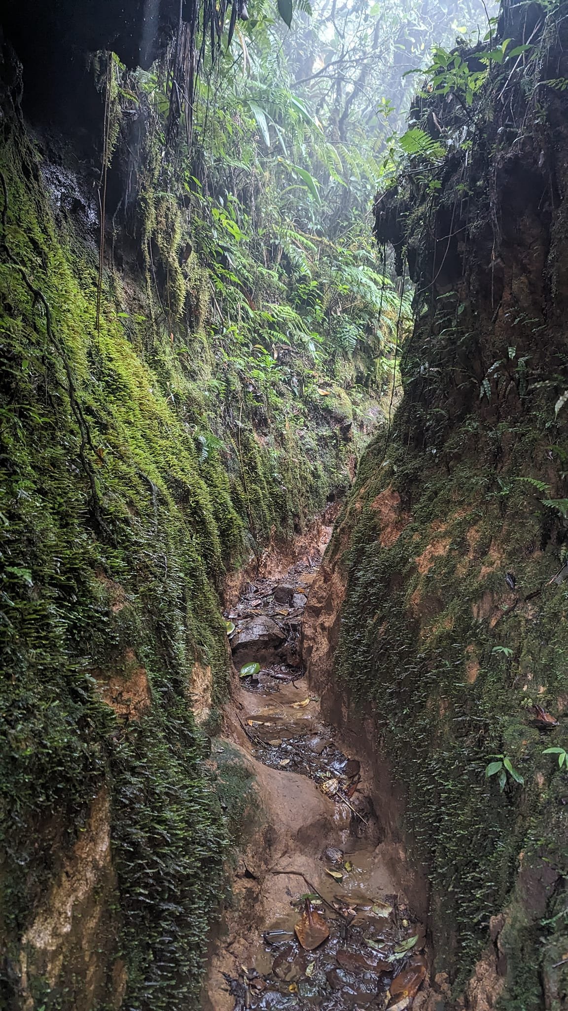
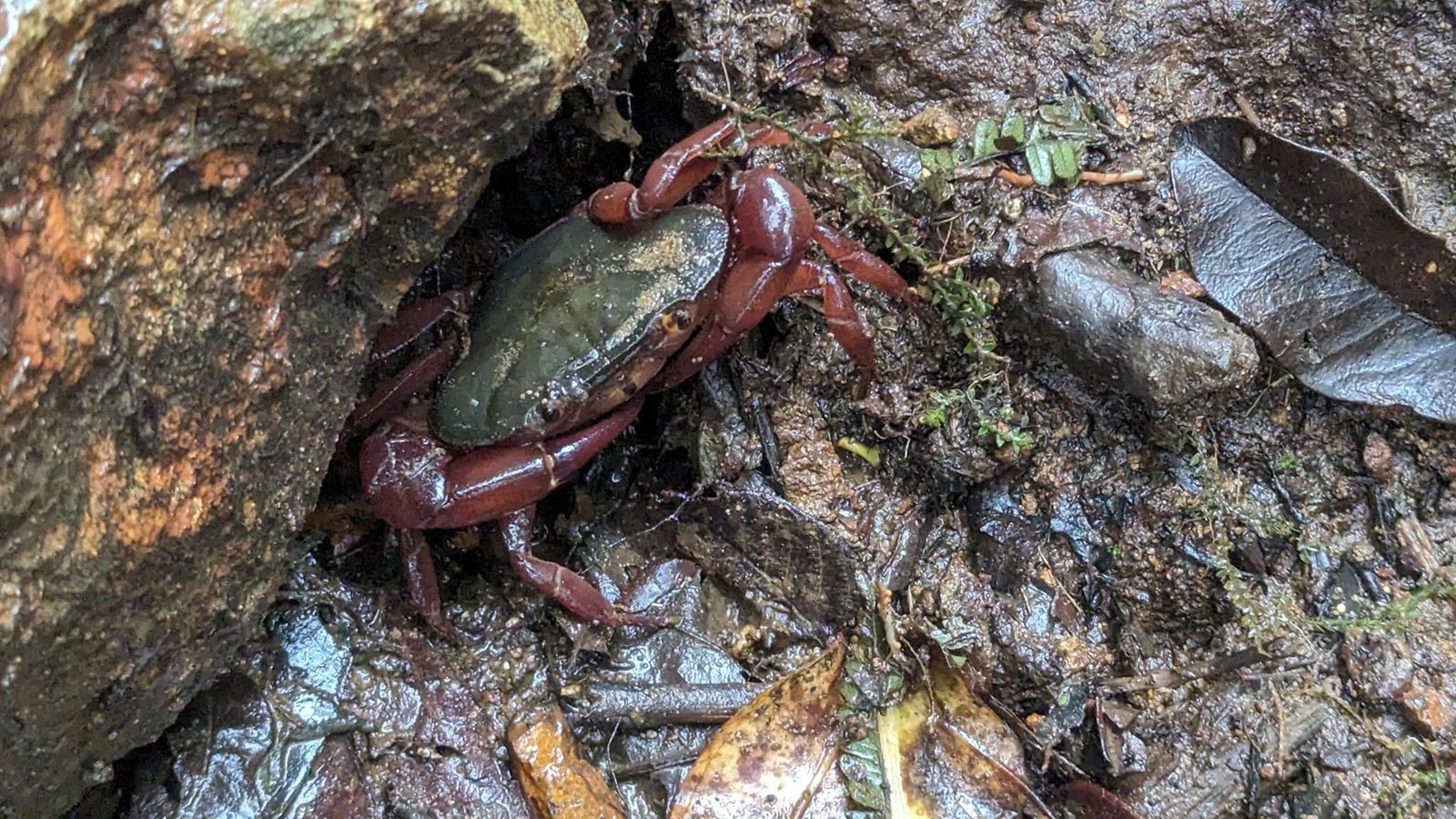
In the forest the path narrows and in places runs through narrow ravines, and you cross the streams on simple footbridges. Everything is wet and covered in moss and epiphytes – a typical cloud forest. We even spotted a crab among the stones.
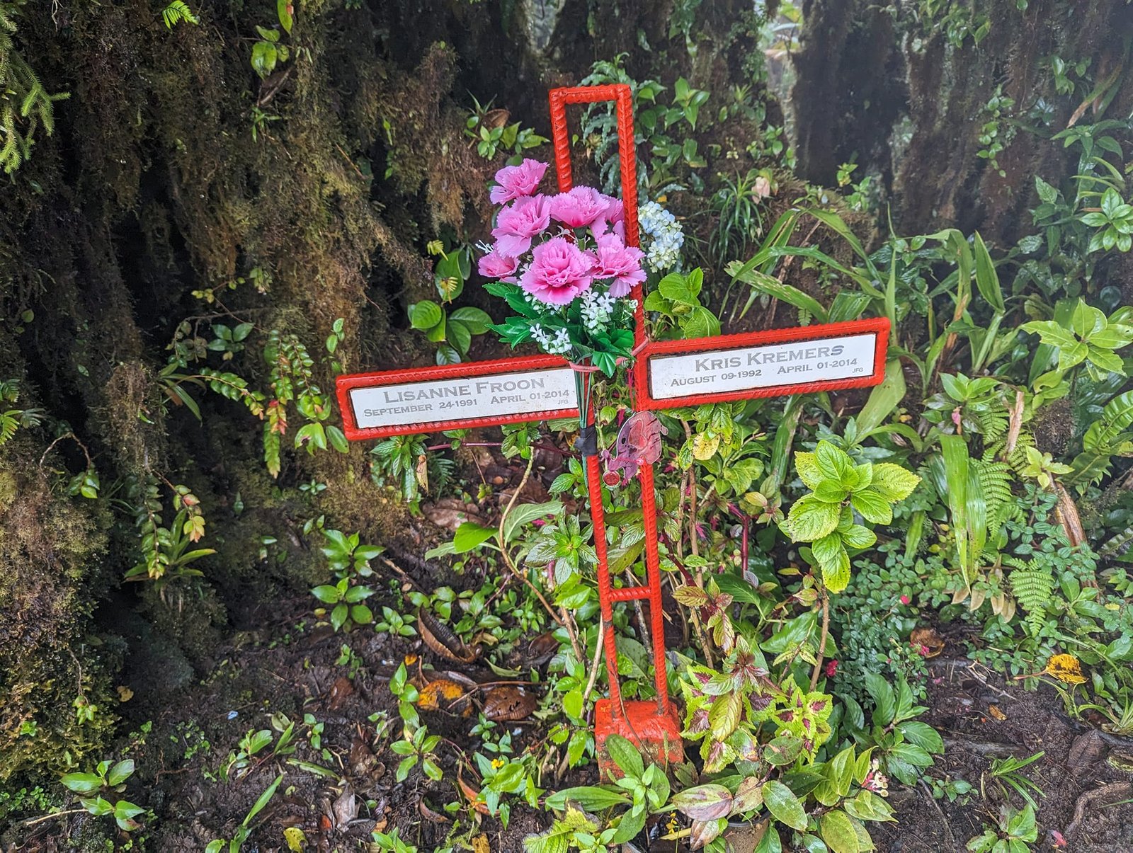
The trail is known above all for a mysterious and sad story. In April 2014 two young Dutch women, Lisanne Froon and Kris Kremers, went missing here. Both died, and the circumstances of their deaths have never been explained. At the end of the trail there is a symbolic memorial cross with their names. In good weather you can see both the Pacific and the Caribbean Sea from here – all we found was fog and strong wind.
The hanging bridges of Boquete Tree Trek
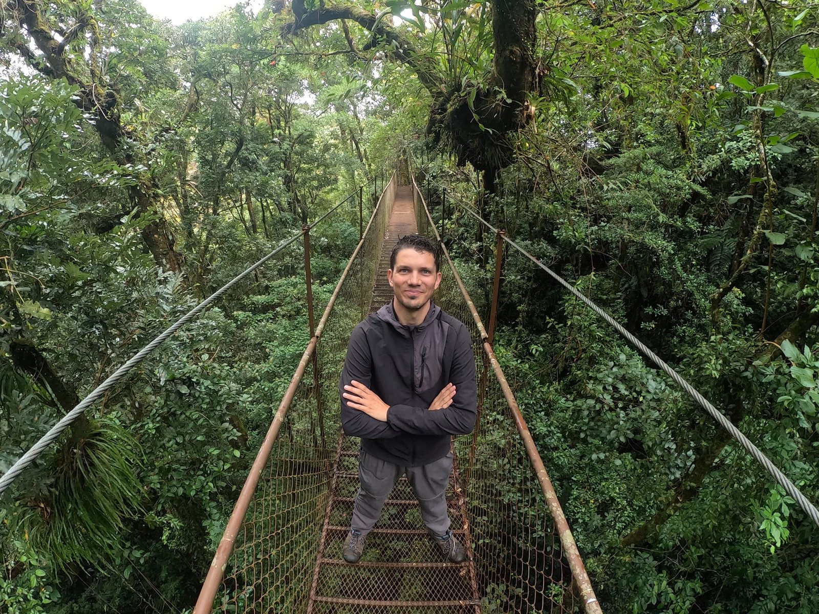
On Saturday we went on the hanging bridges trail: about 3 km (a loop) and 200 m of elevation gain. The route is on the private grounds of the Boquete Tree Trek Mountain Resort, so you have to book a guided tour – the Tour de Puentes Colgantes. We arranged it in the centre of Bajo Boquete; it cost 30 USD per person, with groups of up to 15 people (April 2024).
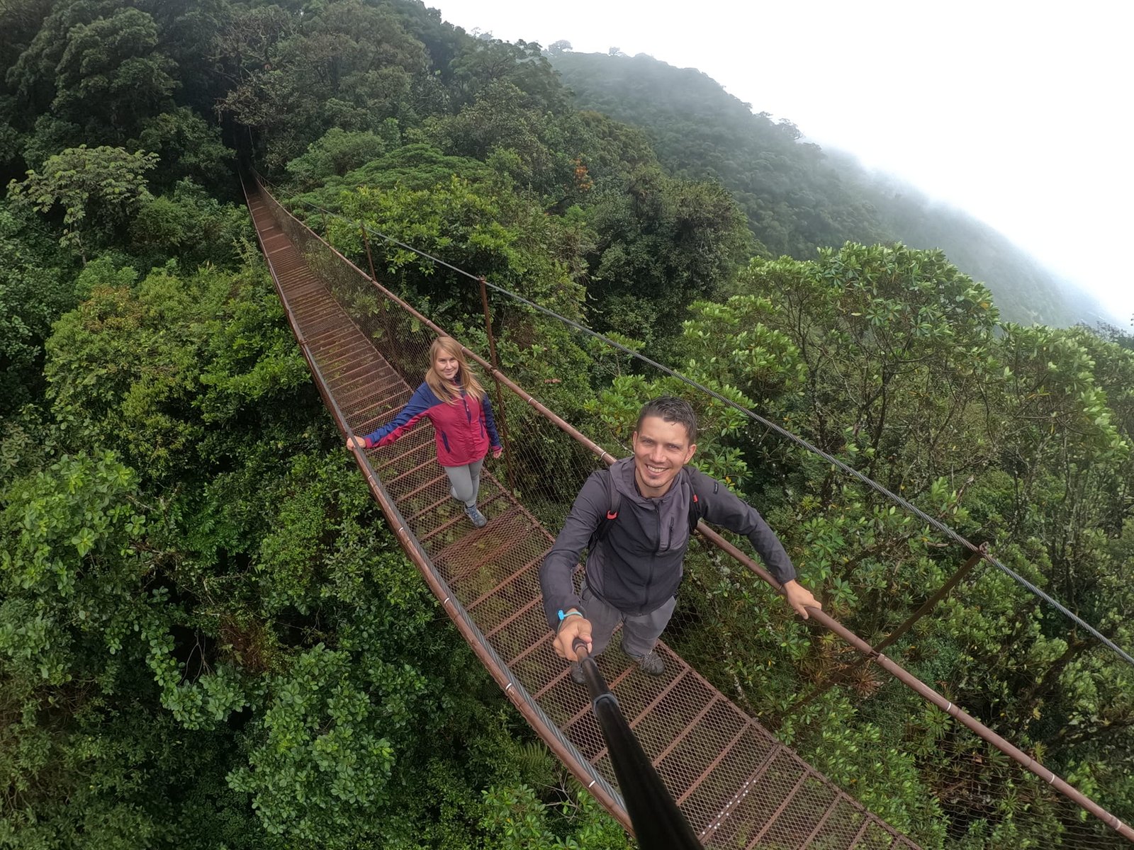
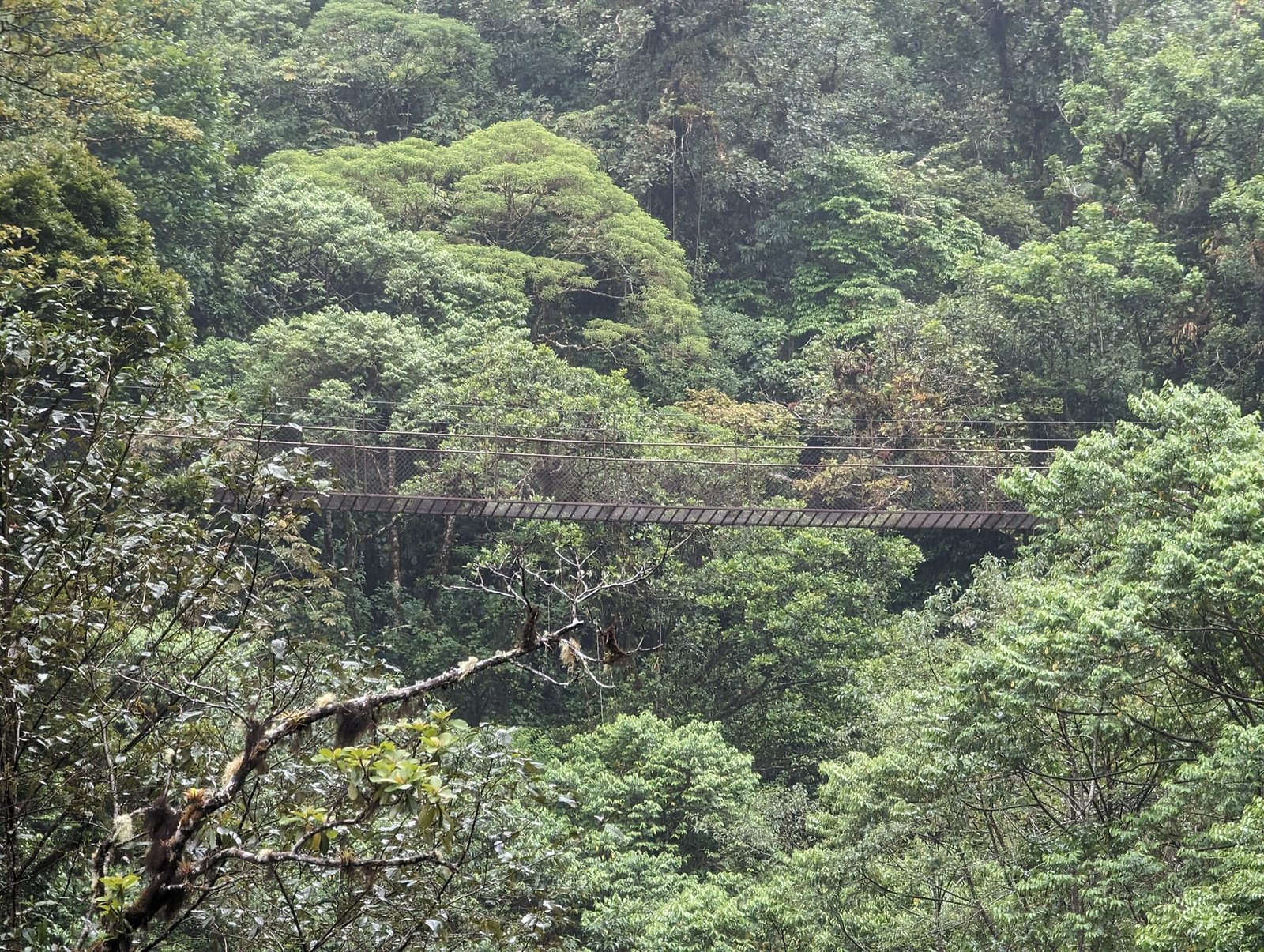
Along the way you cross 6 steel bridges – the longest is 135 m, and the highest hangs 70 m above the ground. Between them you walk quite a lot through the jungle itself, while the guide tells you about the plants and animals of the area. I think it is worth it.
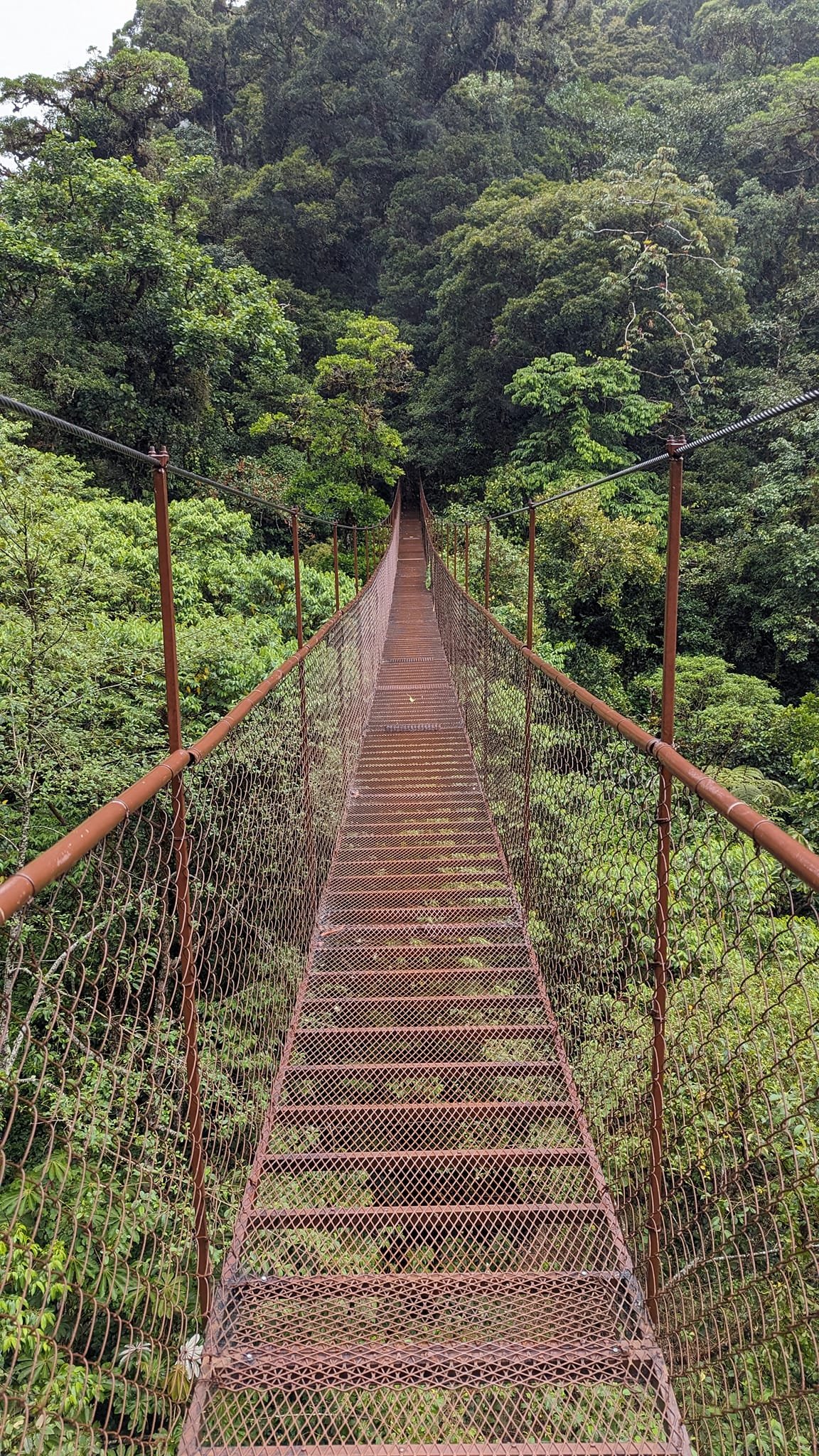
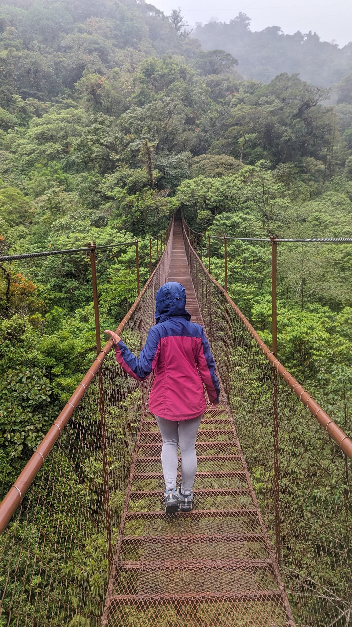
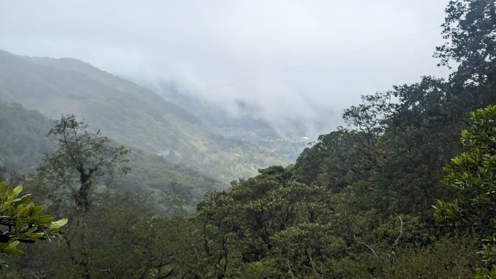
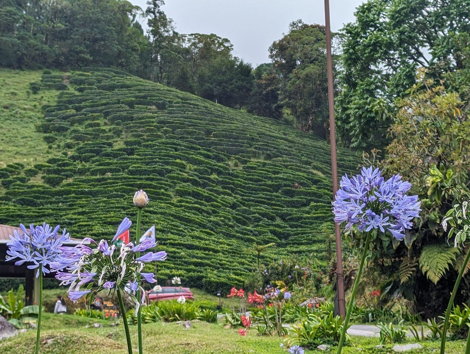
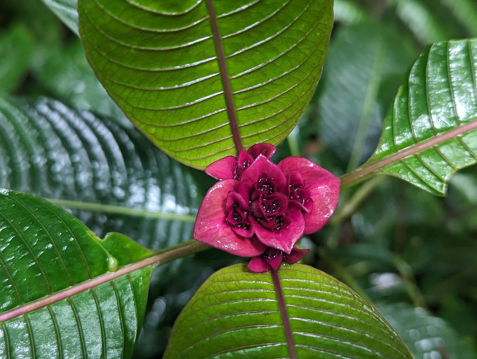
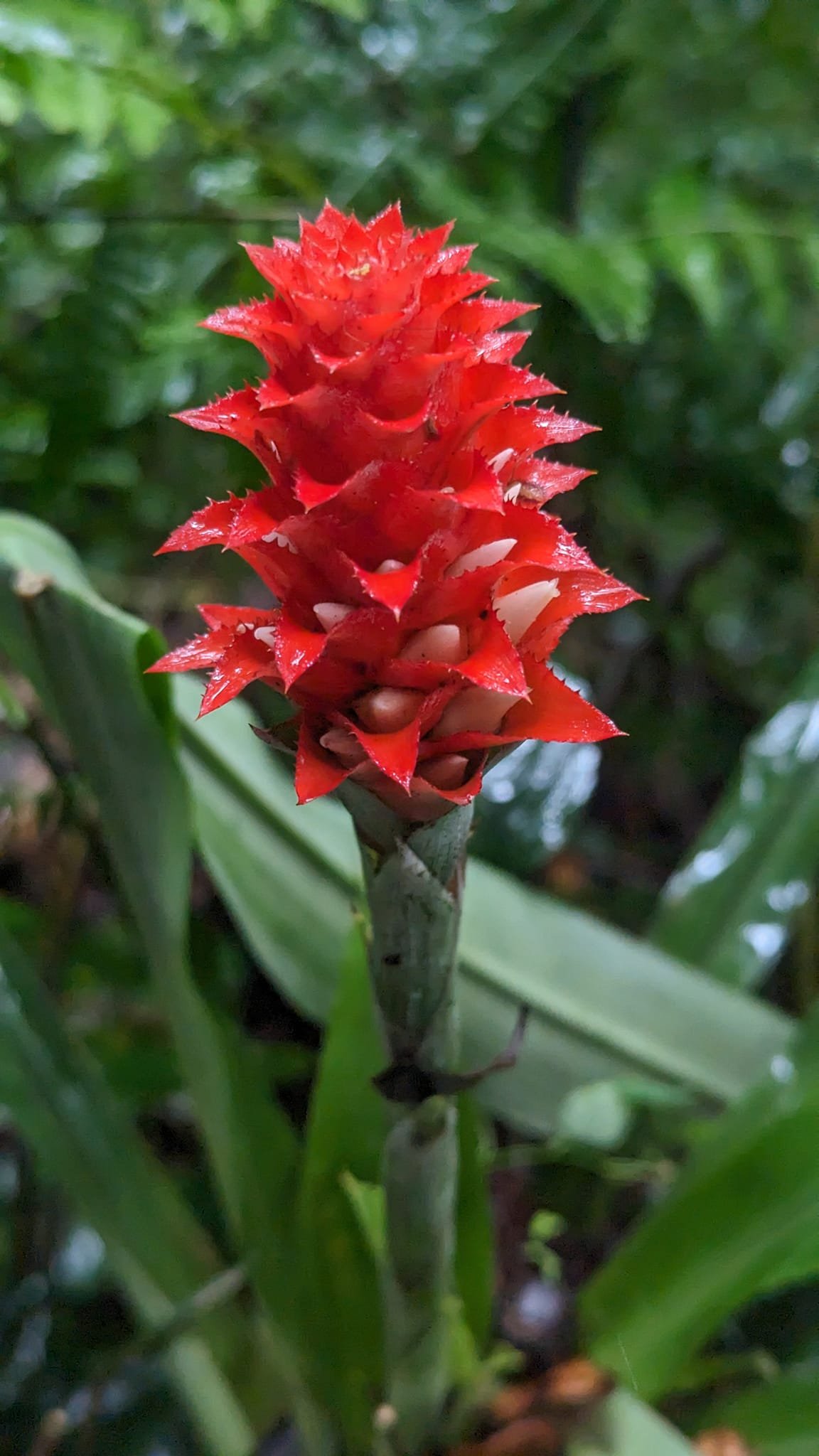
Lots of colourful plants were flowering in the forest, and from the bridges and the path we could see misty valleys.
The Pipeline – a thousand-year-old tree and a hidden waterfall
On Sunday it was time for The Pipeline: about 7 km return and 500 m of elevation gain. At the entrance we did not pass any fee gate – maybe because it was the low tourist season. Visitors who came here in other months wrote that they were charged 5 USD each.
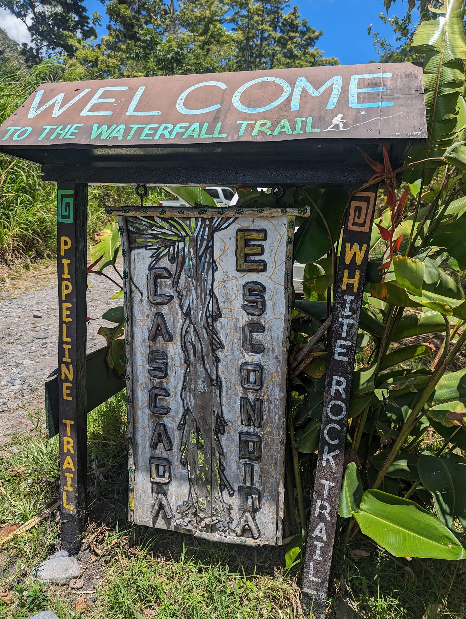
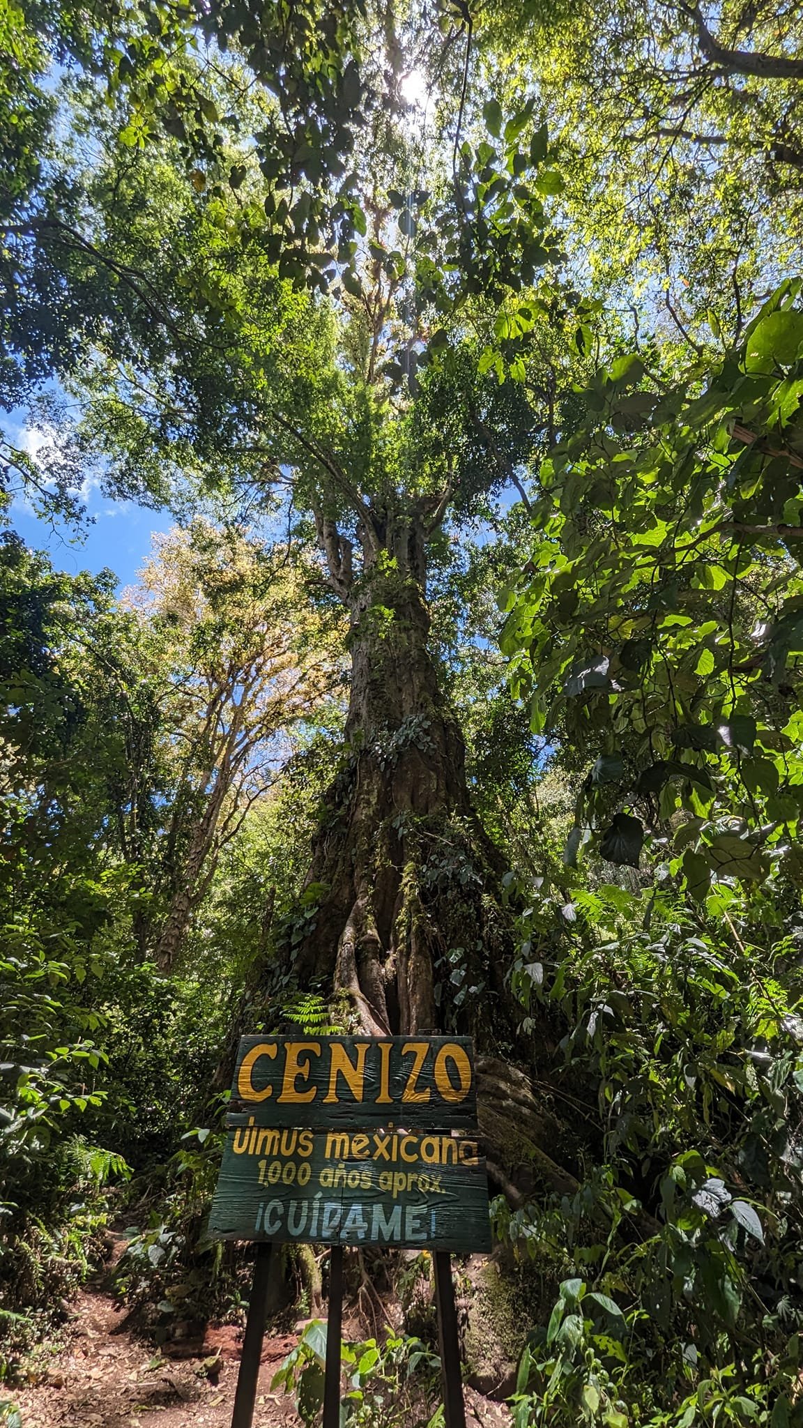
The trail runs along pipes carrying water – hence its name. On the way you can admire a thousand-year-old tree, and at the end a “hidden” waterfall (Cascada Escondida) awaits in very pretty surroundings.
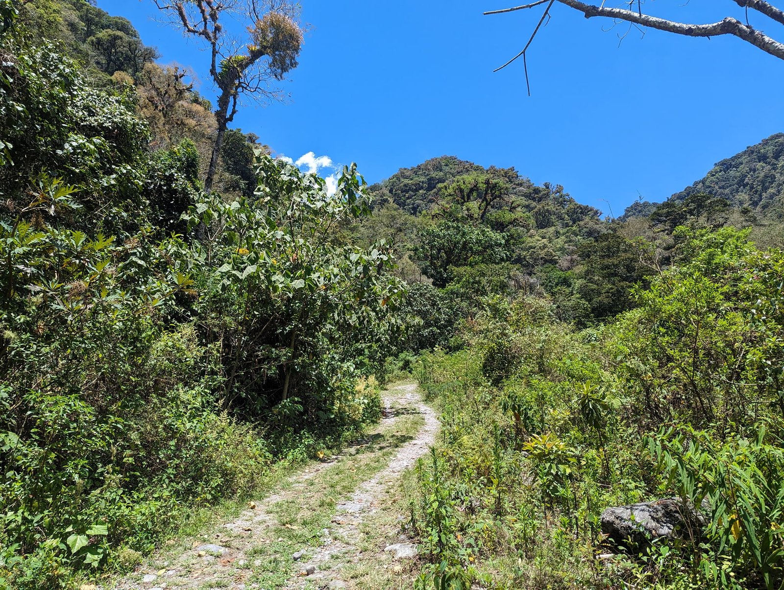
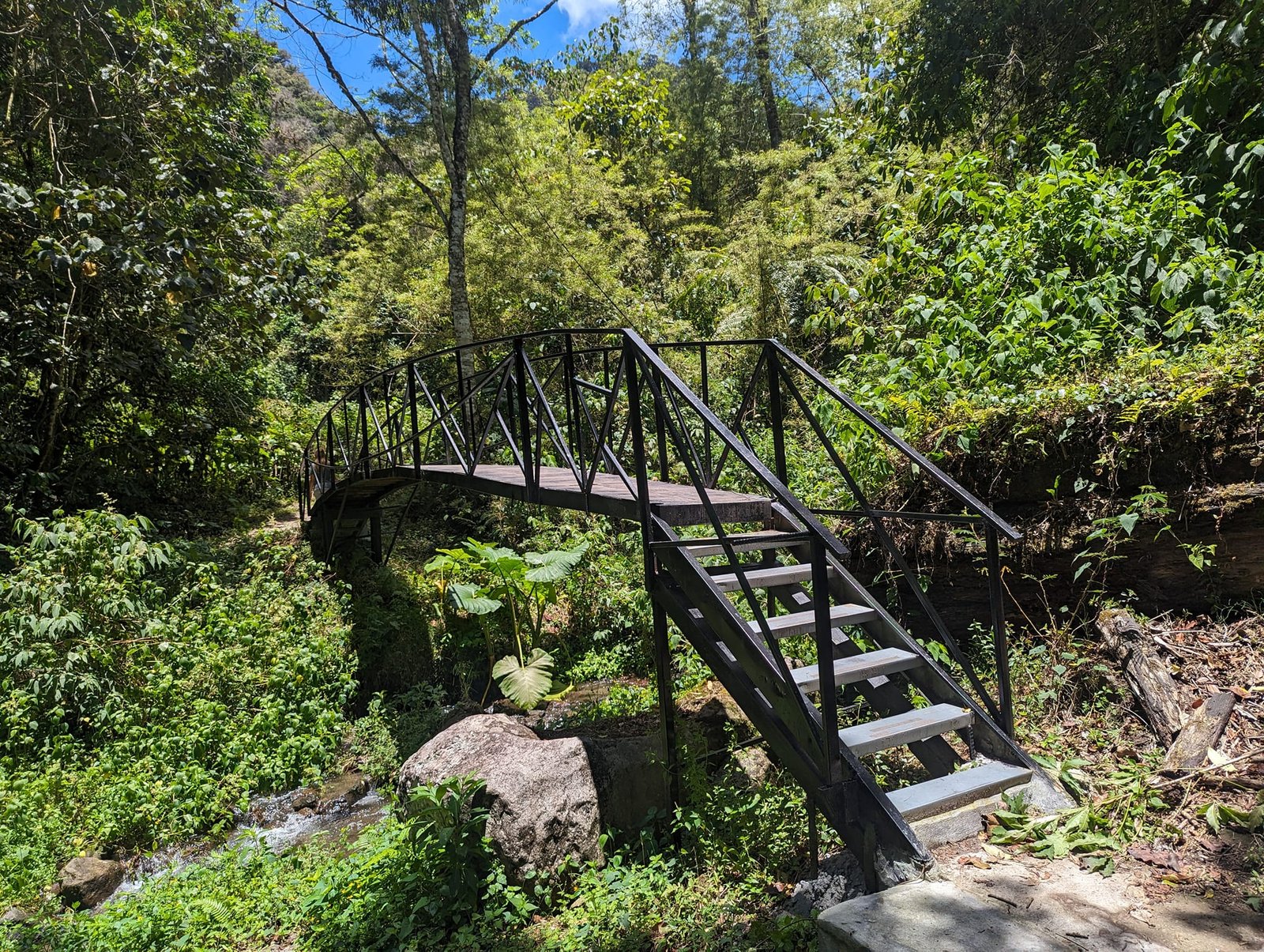
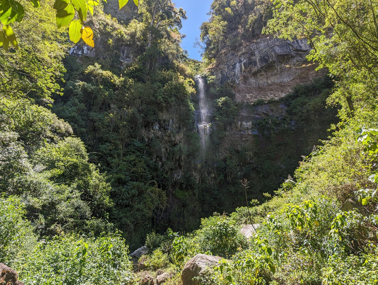
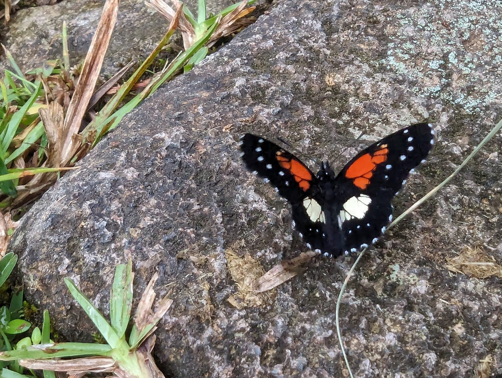
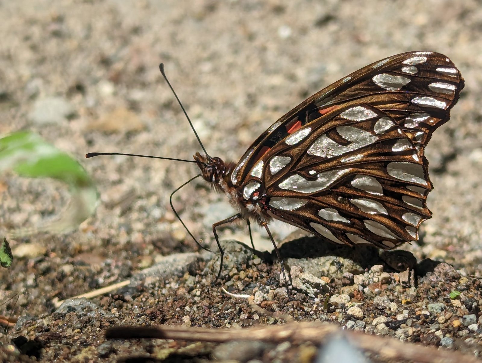
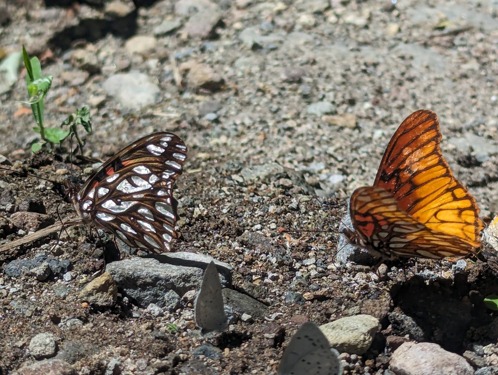
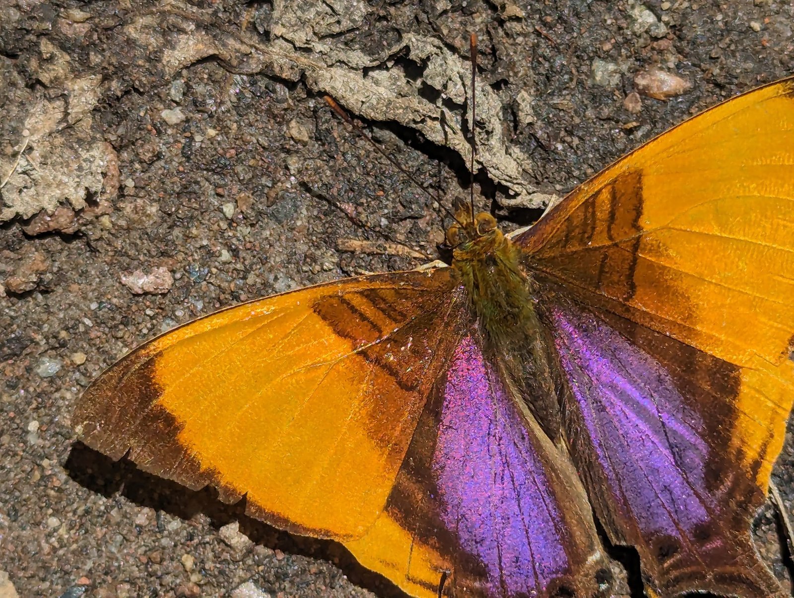
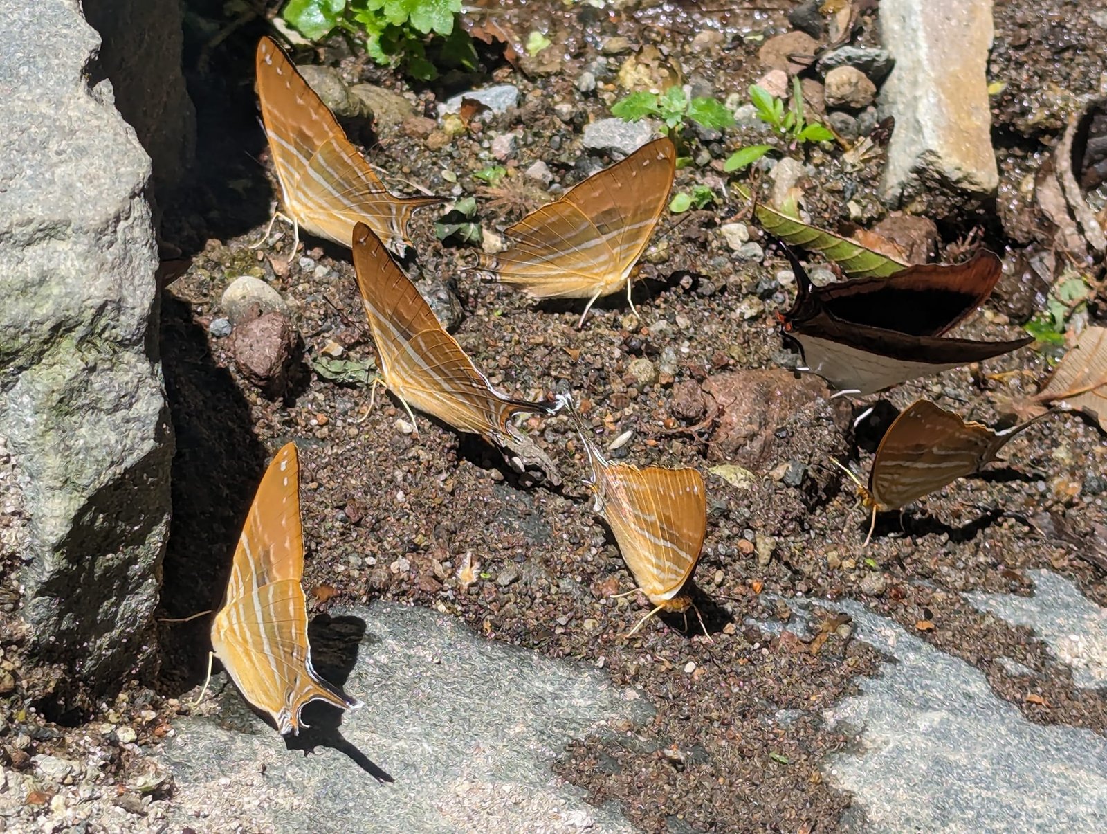
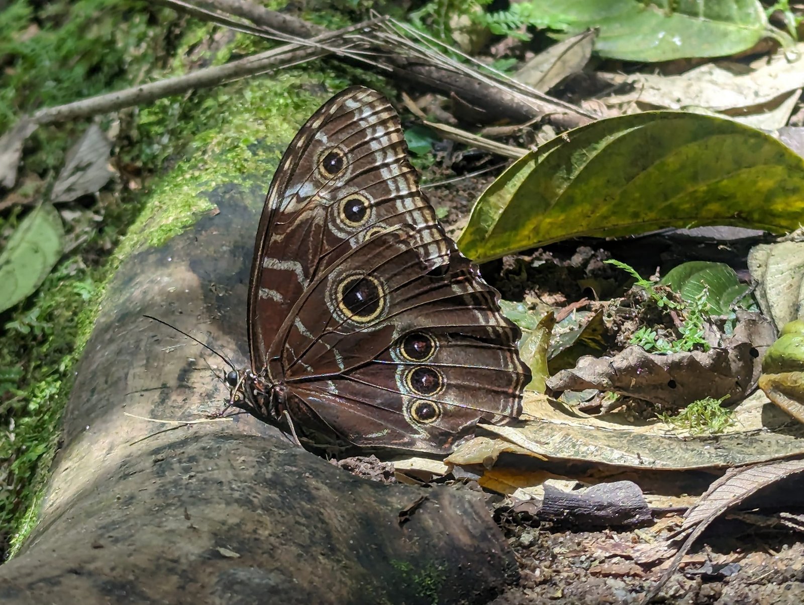
The Pipeline is considered a good place for watching wildlife, especially birds. We had no luck with birds, but there were loads of butterflies – whole groups of them sat on the path. The route can be combined with the Las Tres Cascadas trail; we did not have time for that.
Barú volcano (3475 m) – Panama’s highest peak
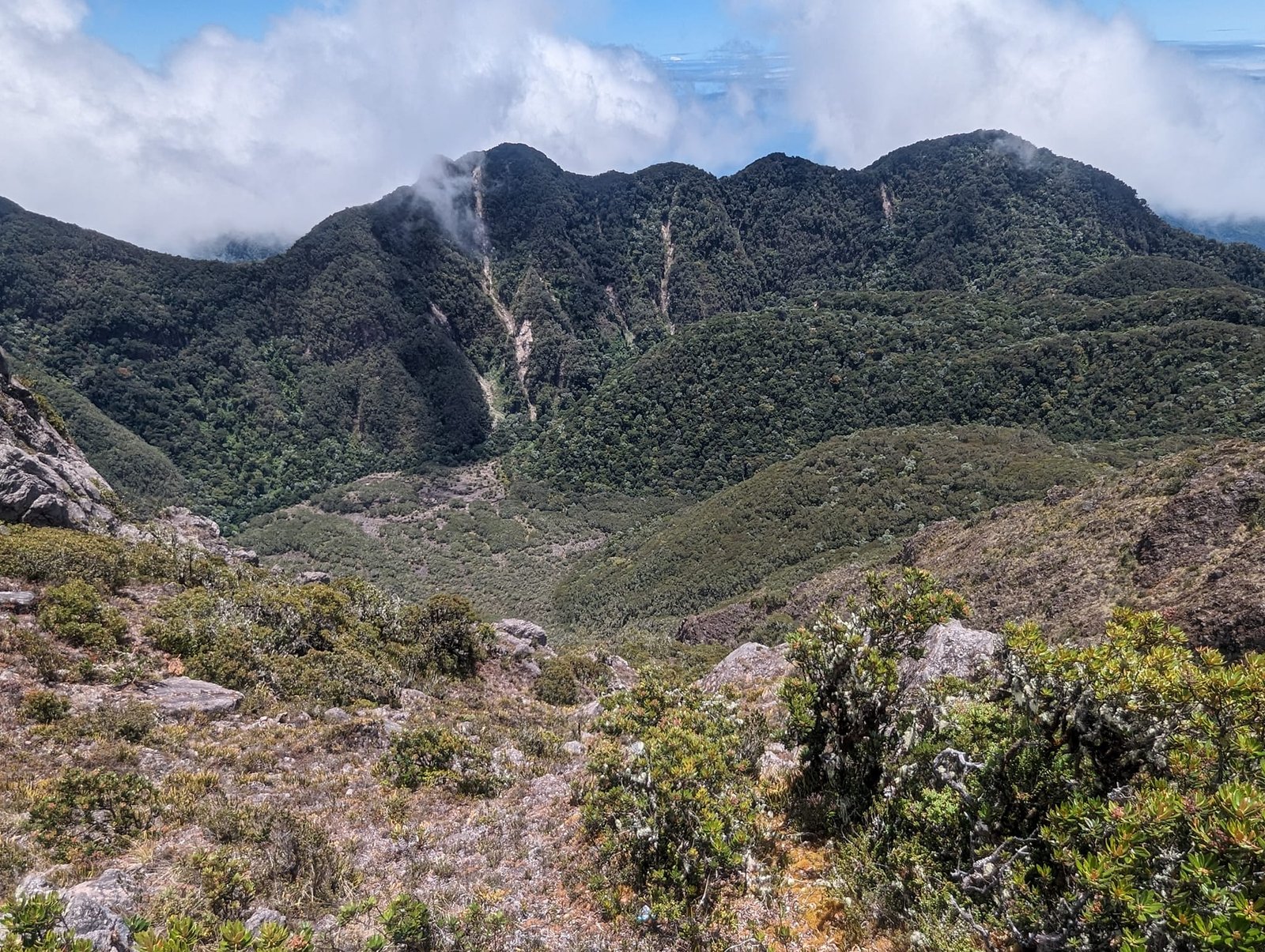
Barú (also called Chiriquí, 3475 m) is one of three volcanoes in Panama and also the country’s highest peak. It is dormant – it last erupted around 1550. Being in Boquete, we could not skip climbing it. On 15 April we got up at 3:30 and left around 5:00. We waited for any bus from Alto Boquete to Bajo Boquete, where we wanted to change to a bus going to the trailhead, but in the end we took a taxi (11 km, 10 USD for two people). We set off on the trail at 6:00, shortly before sunrise, from an altitude of about 1800 m.
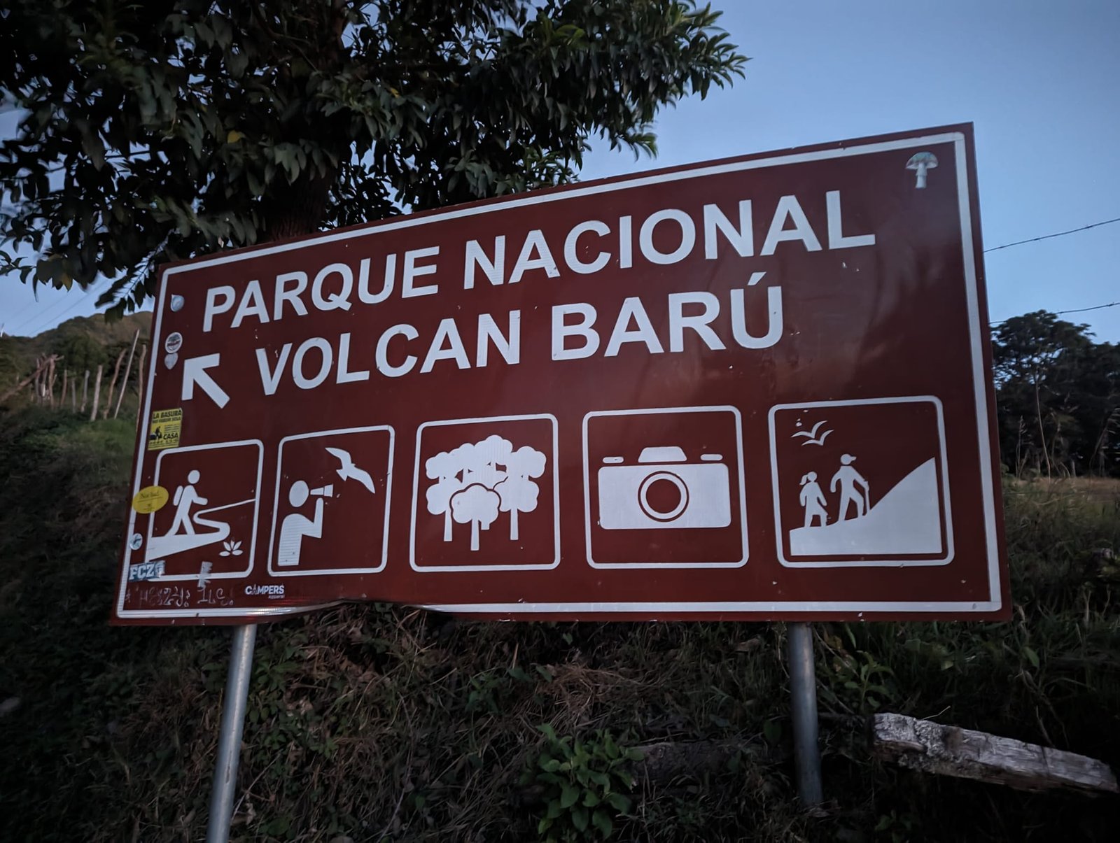
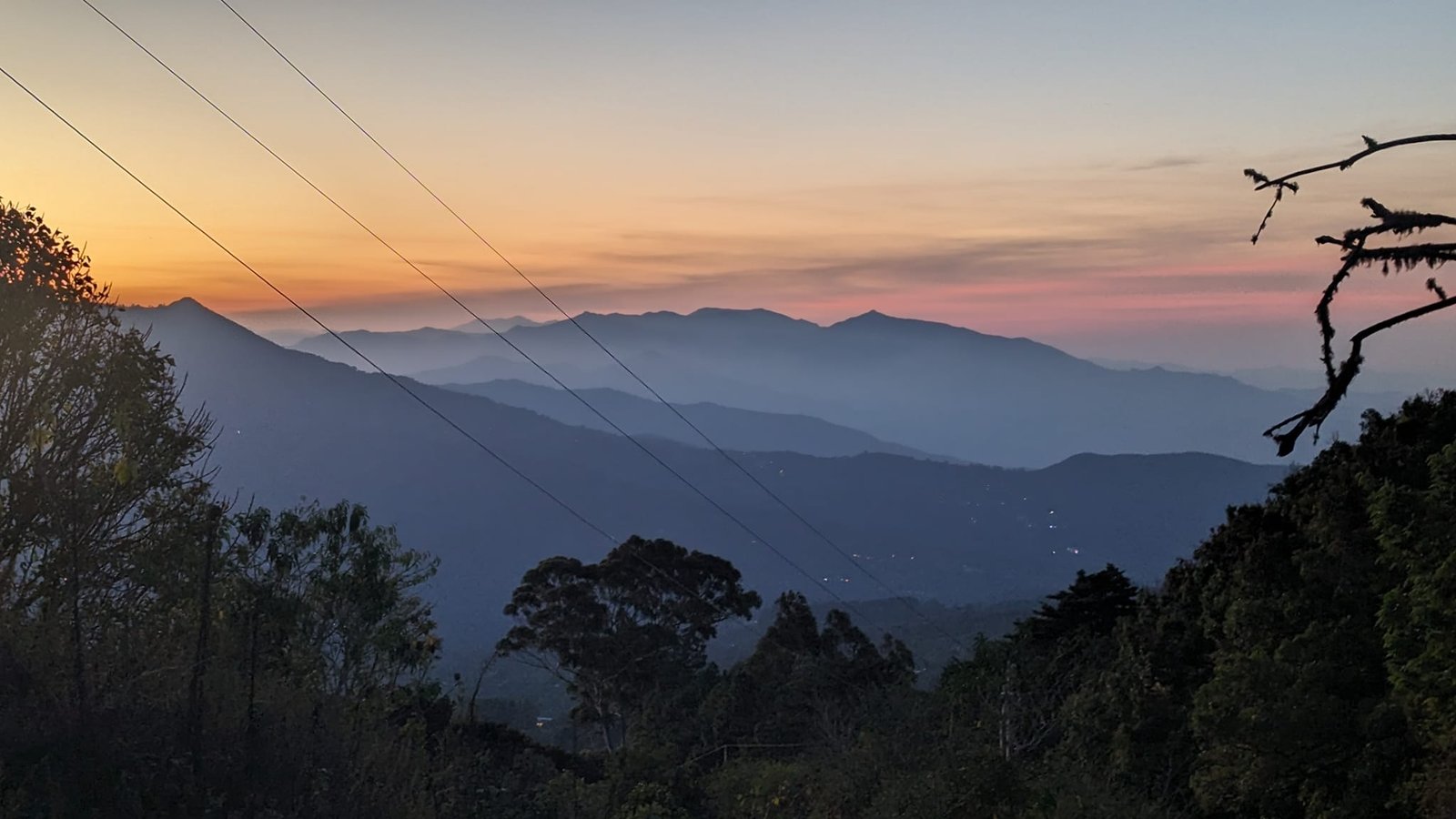
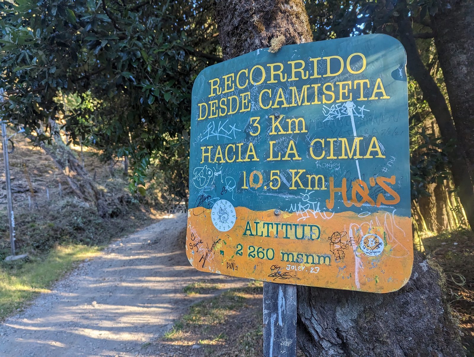
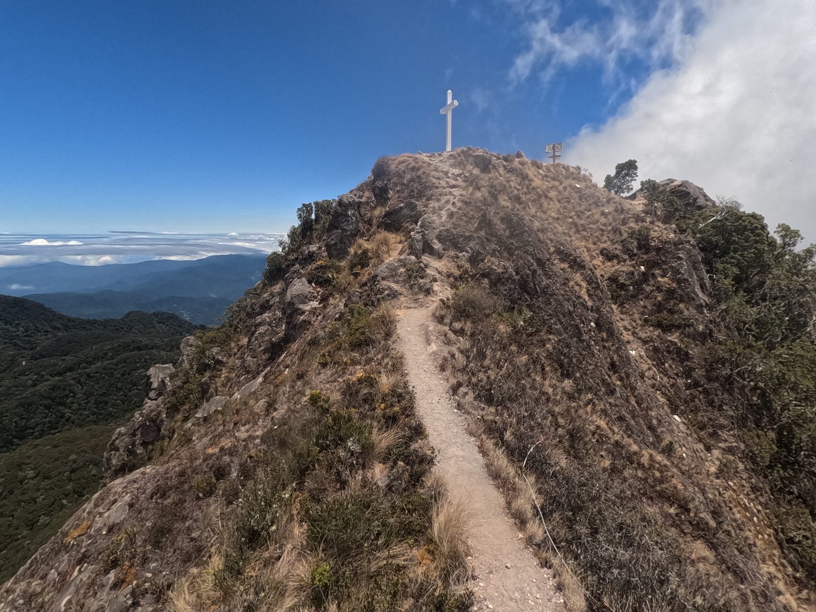
Technically the route is certainly not difficult, but it is long – 14 km one way – with quite a lot of elevation gain, about 1900 m. Most of the time you walk along a wide track with no nice views, because the trees block everything, so on foot it drags on. At about 2600 and 3300 m there are two places to pitch tents.
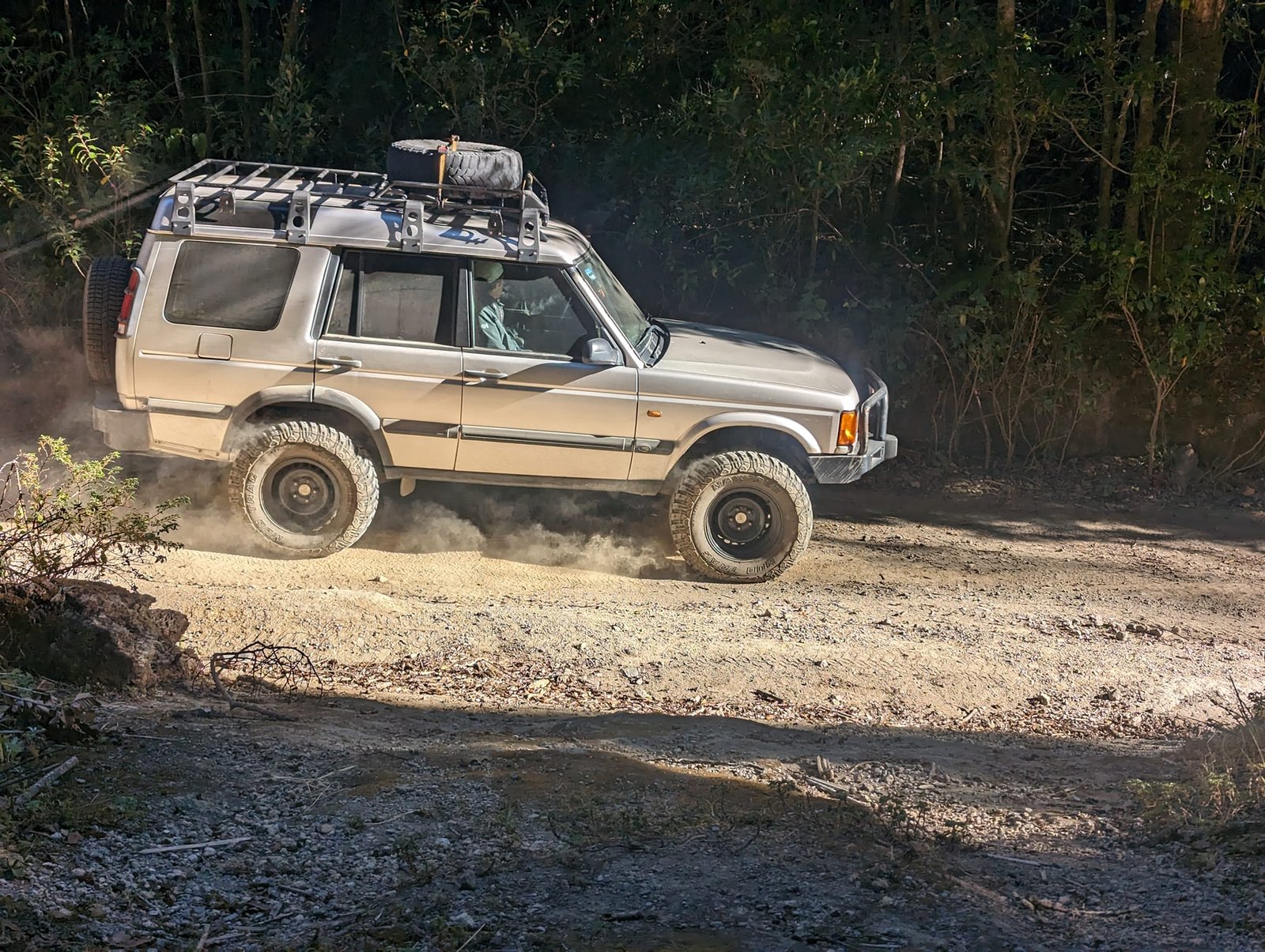
You can drive almost to the summit in an off-road vehicle, and that is what most people do – we were passed mainly by tourist tours and sometimes by workers from the transmitter towers. We hardly met anyone on foot.
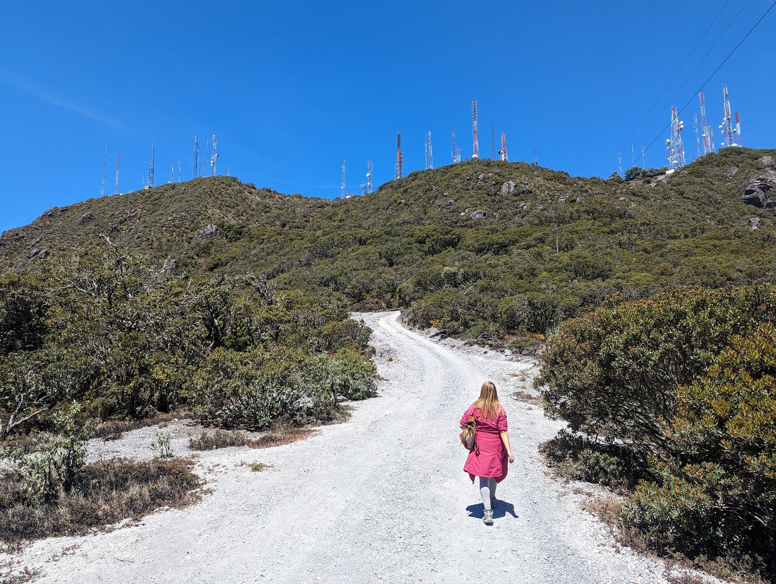
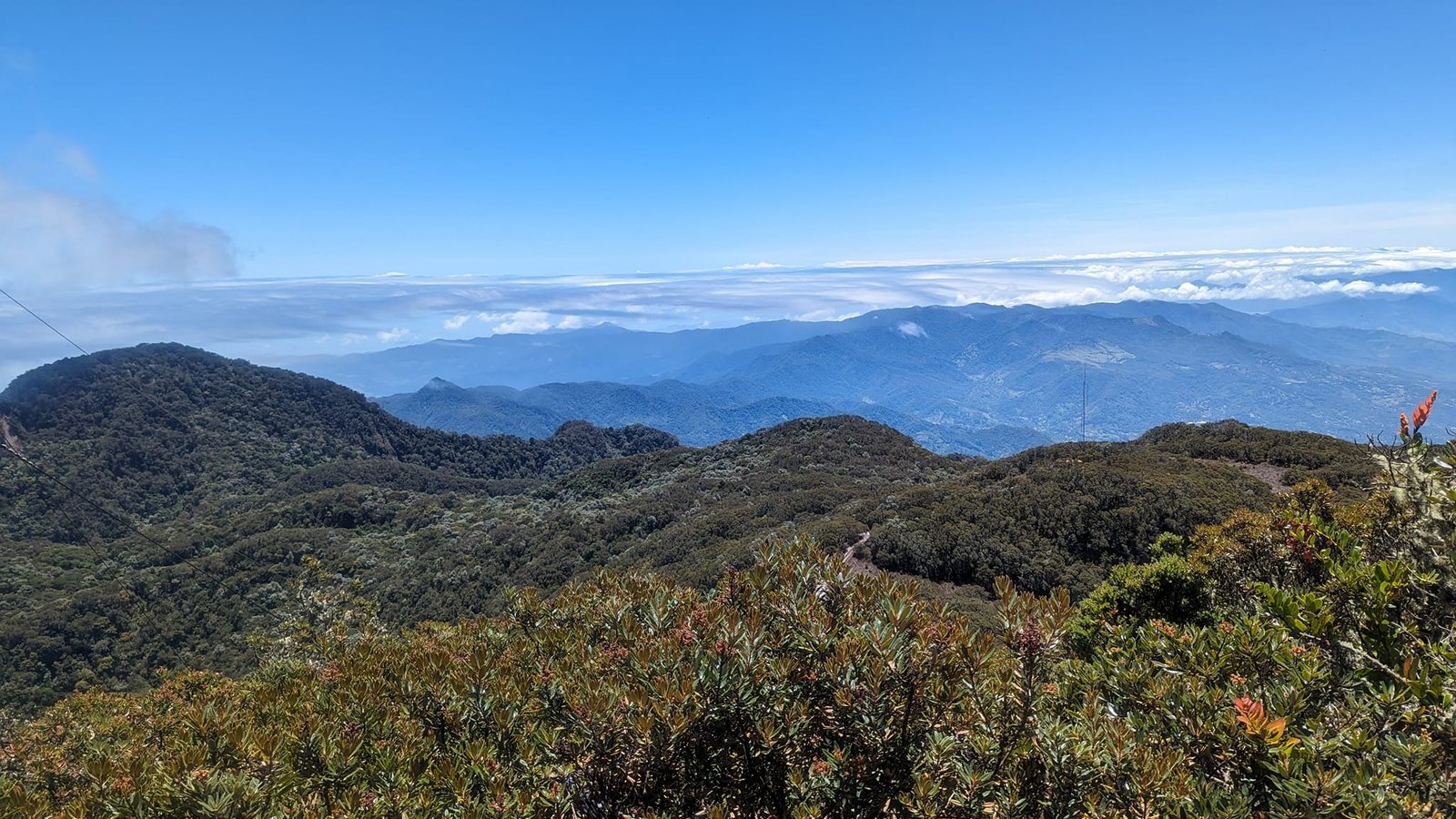
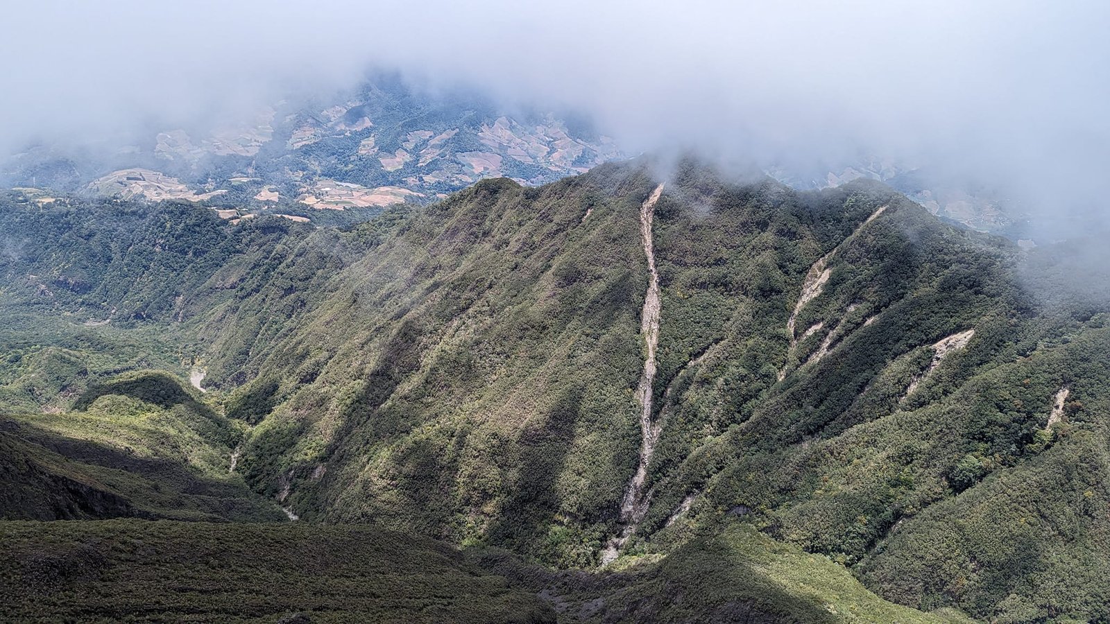
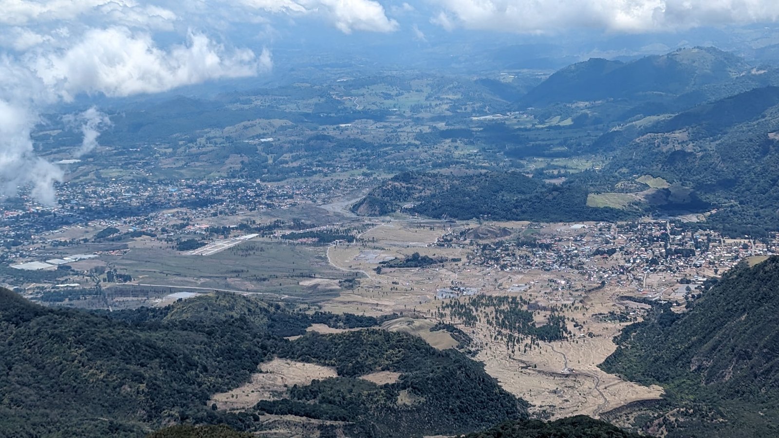
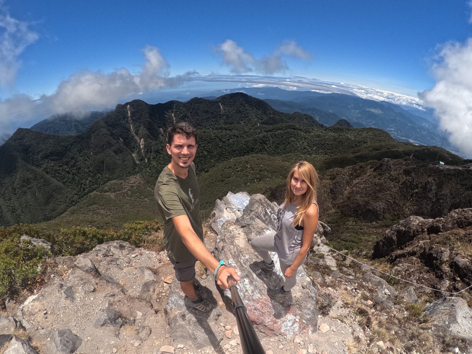
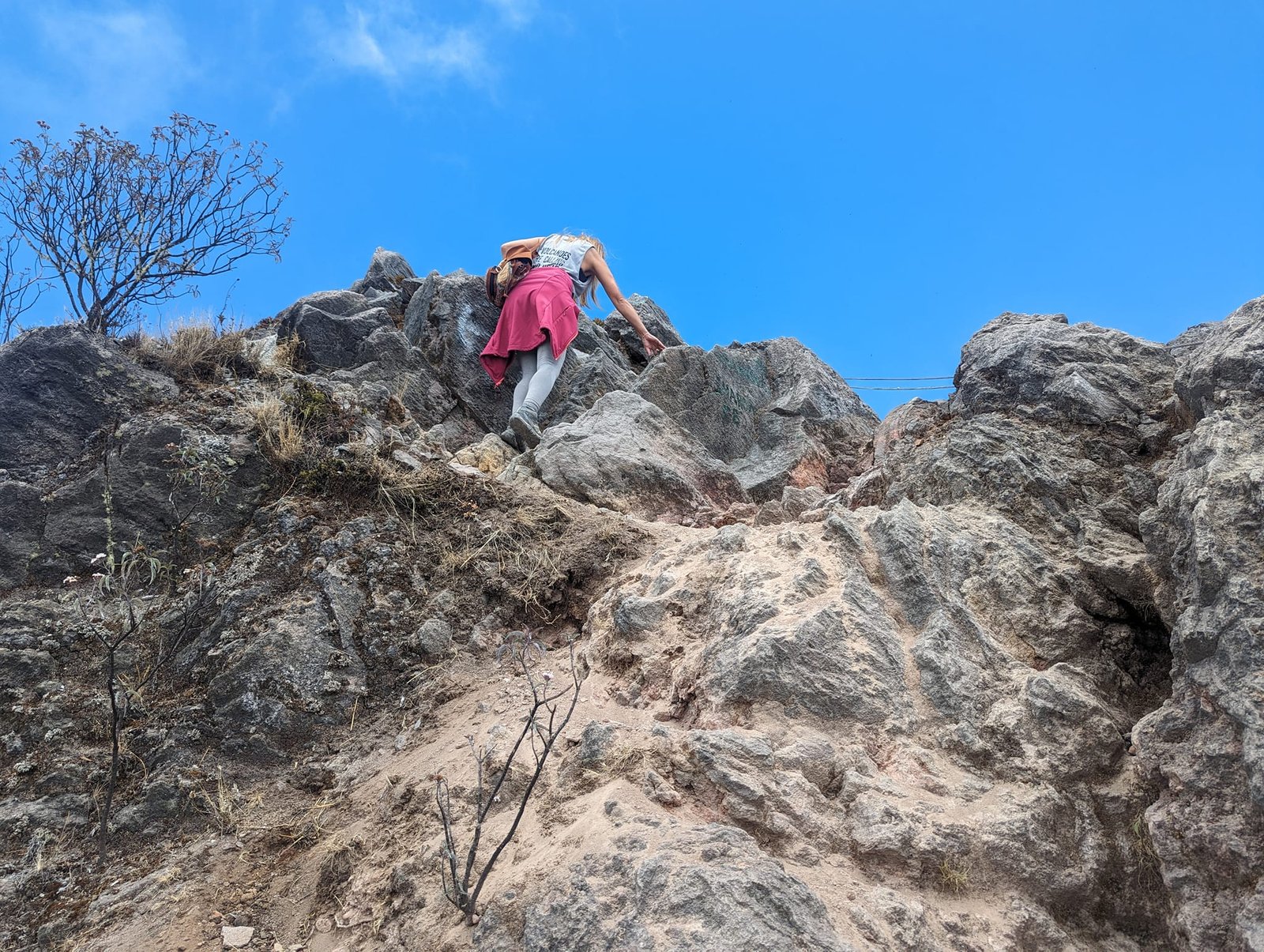
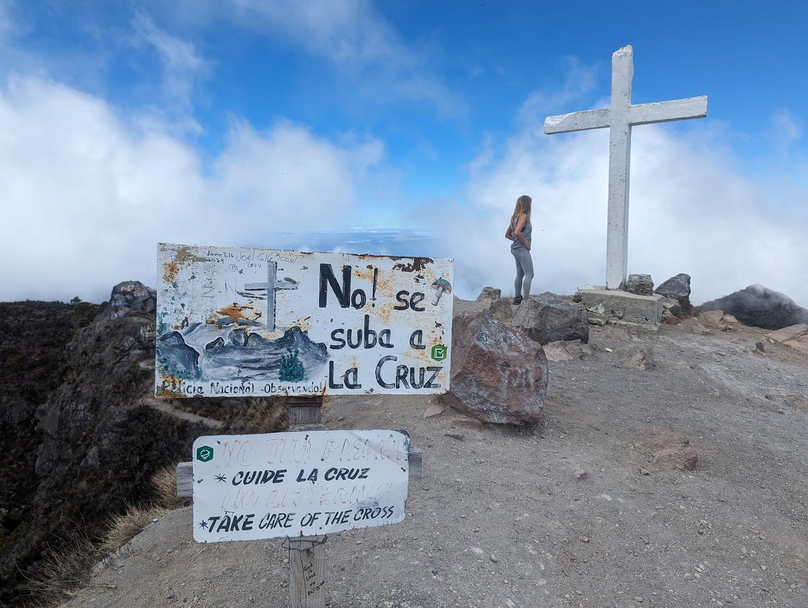
From the transmitter towers you can already see the crater, and a bit further on – over a few rocks, which is the most technical moment of the whole route – stands the actual summit with a cross. We reached the top around 12:00, so the climb took us 6 hours (with breaks). Tiny flies were a terrible nuisance up there, but the views were magnificent – from the summit you can see two oceans. We spent an hour at the top.
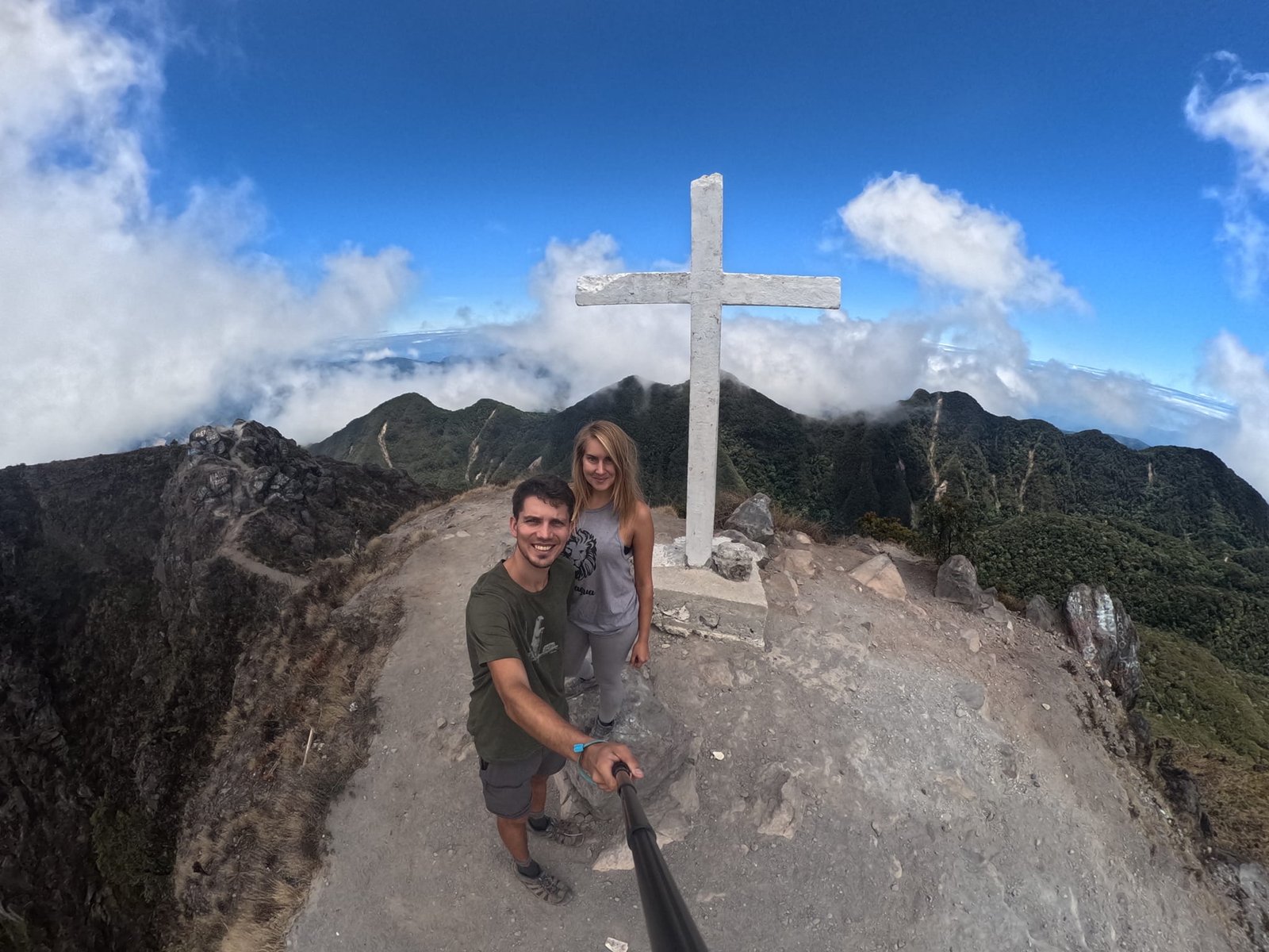
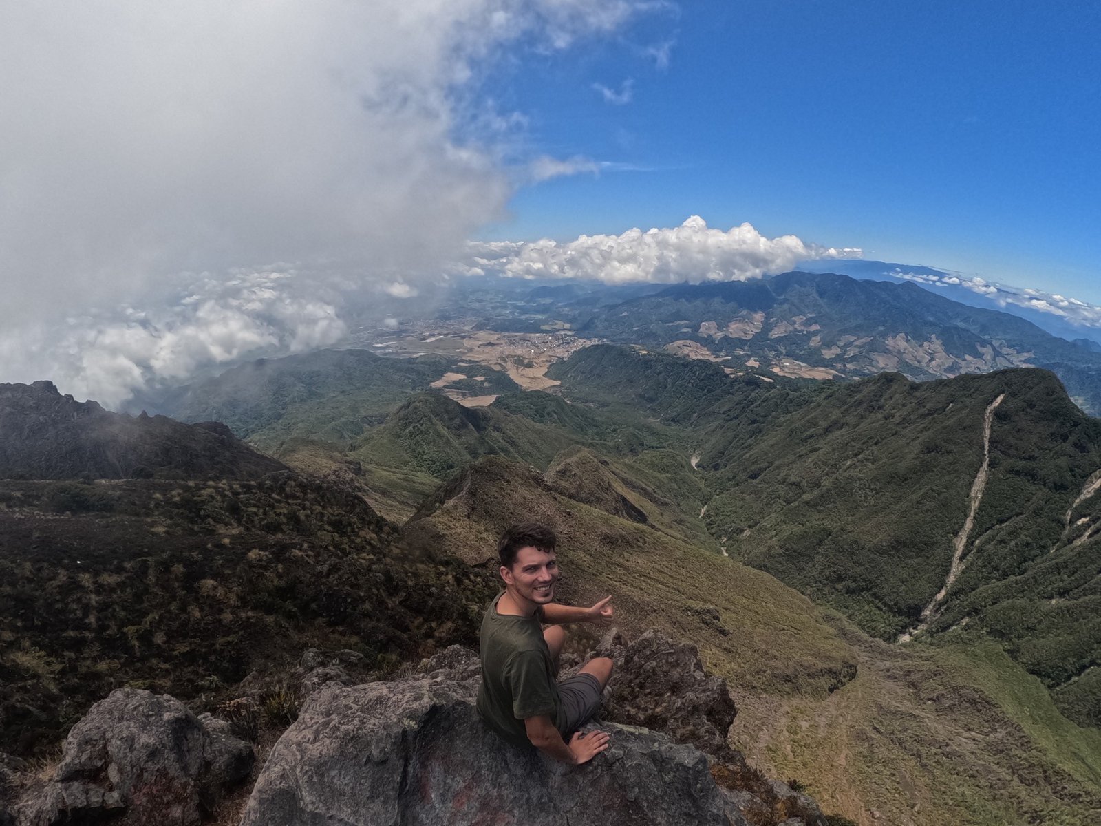
There is also a route up from the west – that trail is shorter and steeper, but also more interesting (and without cars). Because of where we were staying, it was not an option for us.
We started down after 13:00. On the way back we had to be more careful, because the ground was quite loose (though nothing extreme) – each of us fell once. That was also when I realised that my travel insurance had expired a few days earlier, and the new one would only start after a waiting period. We were down at around 17:00, after 4 hours. But we had not arranged a taxi, and all the cars had already left the car park. There was an hour and a half left until sunset, so we were counting on hitchhiking or a bus. After half an hour of walking a car stopped for us, and we rode back in the back of a pickup – together with a fridge.
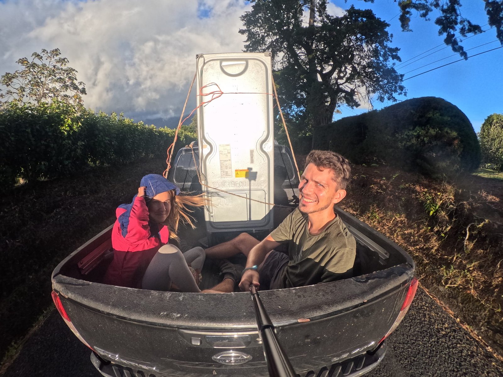
After Tajumulco in Guatemala (4220 m), Barú was the second national high point we climbed on this trip.
El Valle de Antón – four trails in a volcanic caldera
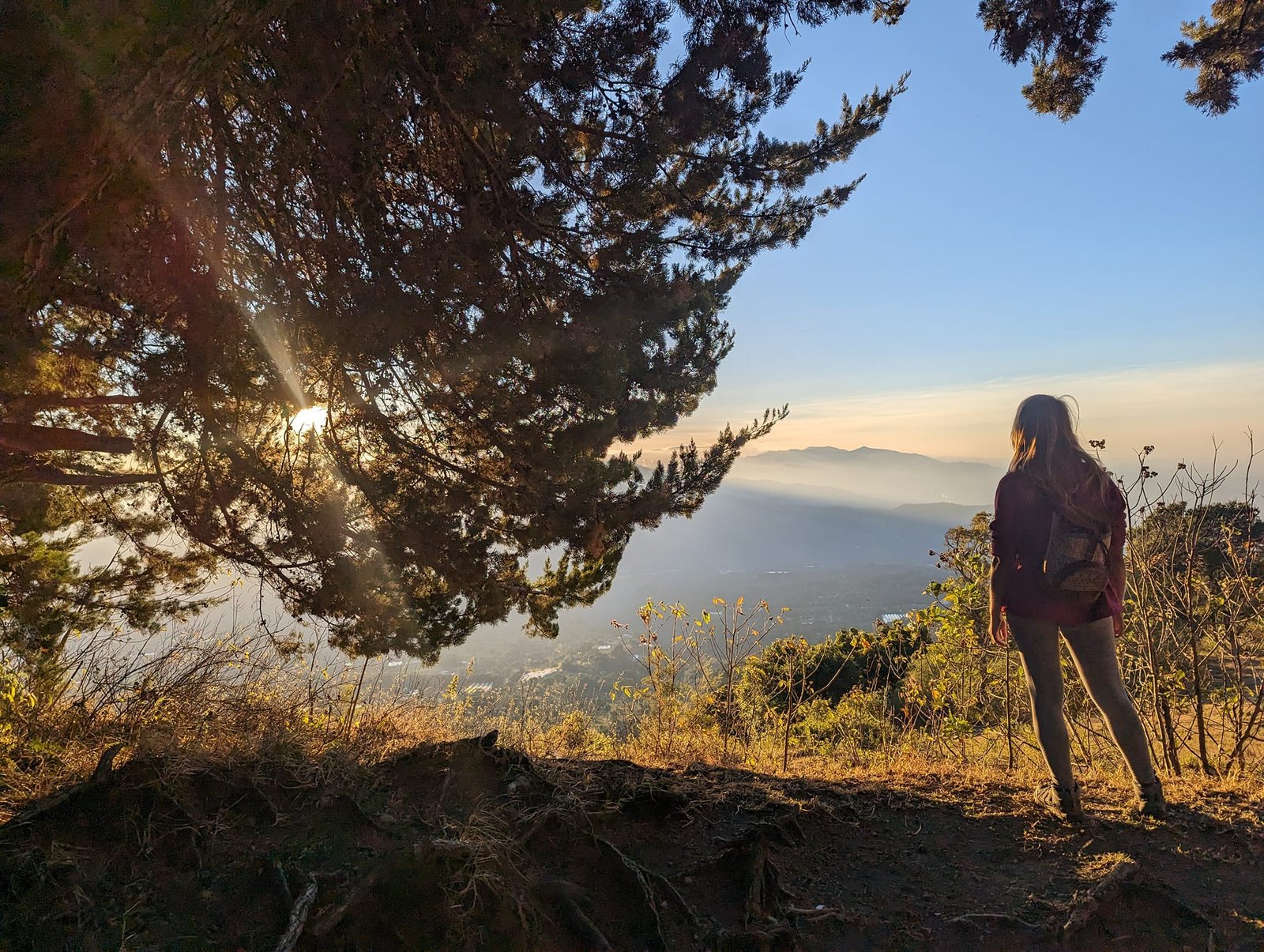
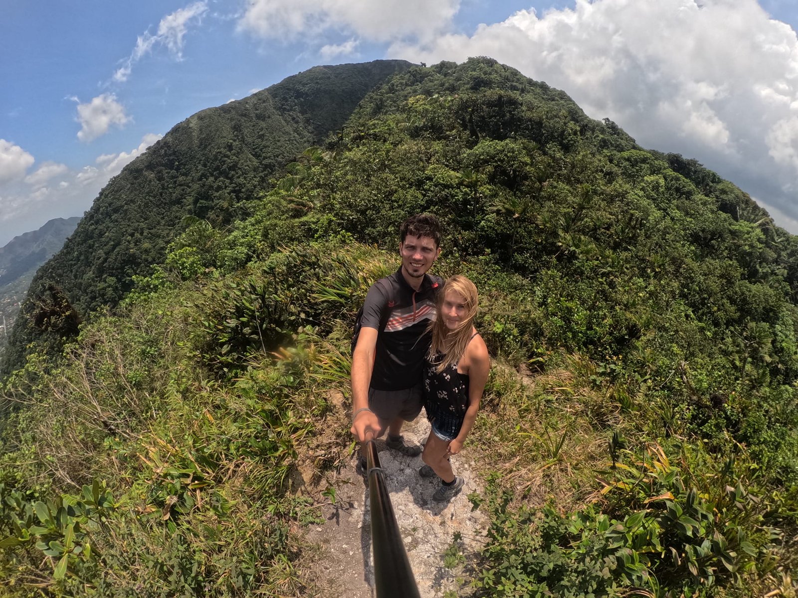
On Tuesday, 16 April, we went to El Valle de Antón and stayed there until 21 April. It is a valley formed more than a million years ago in the caldera of a huge, inactive volcano (the last eruption was about 300,000 years ago) – the surrounding hills are its walls. The valley floor lies at about 600 m, and the peaks around it are 800–1100 m high, so the climbs are small and with relatively little effort you get beautiful views.
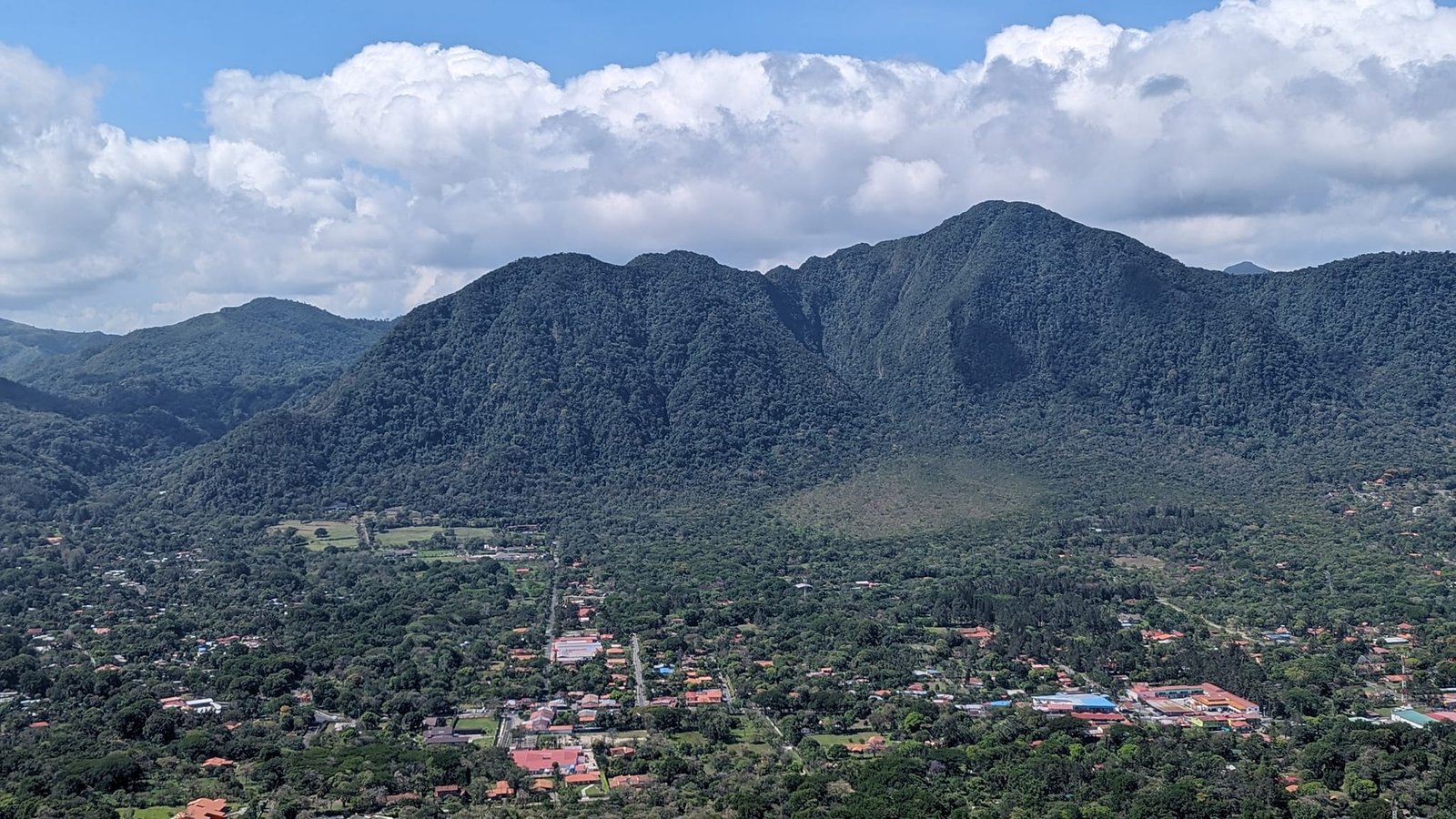
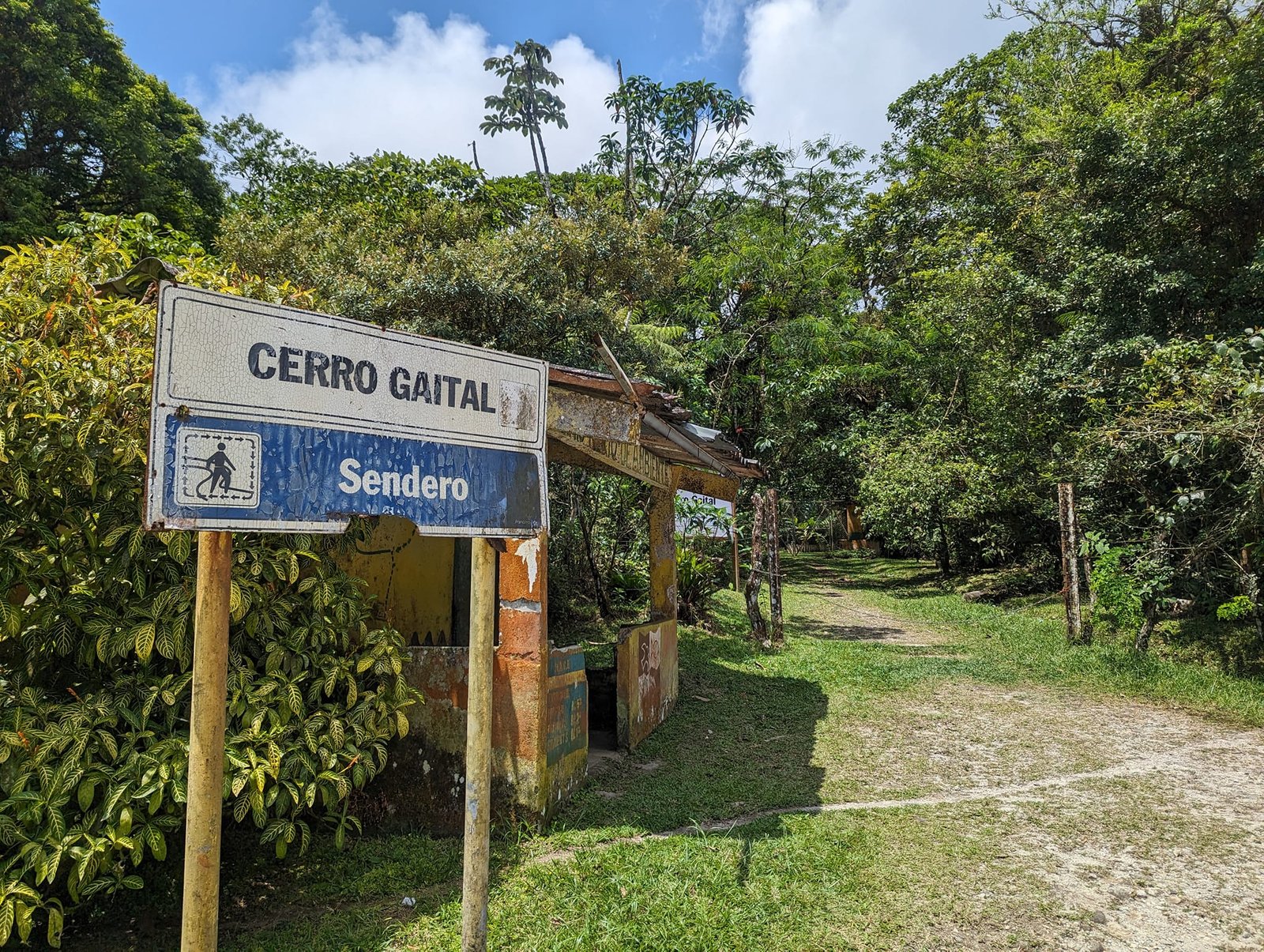
Four days, four different trails. We really liked three of them: La India Dormida (“the Sleeping Indian Girl”; entry cost 3 USD, but only from one side), Cerro Cara Iguana (“Iguana Face”) and Cerro La Silla (“the Chair”). The forest trail of Cerro Gaital did not impress us. To two trails we took a bus (about 10 minutes); to the other two we walked straight from the hostel. Apart from the most popular “Sleeping Indian Girl”, we did not meet many people on them.
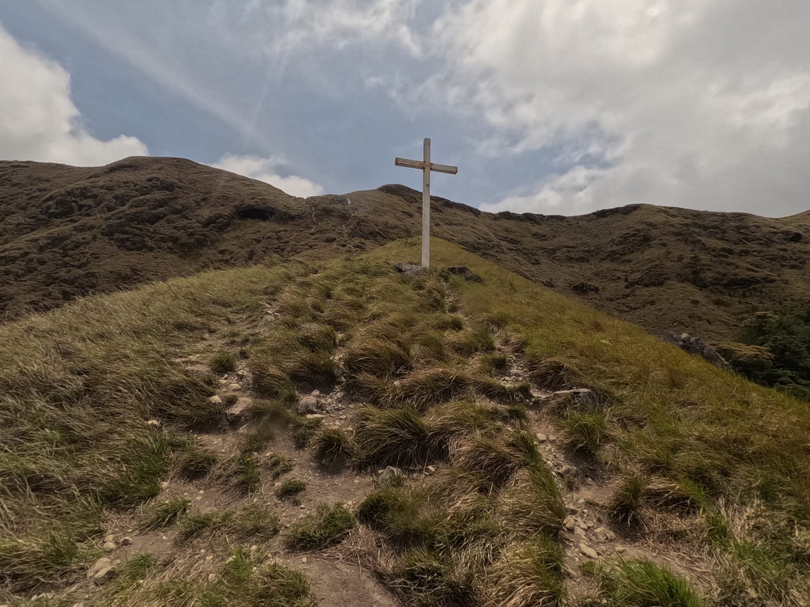
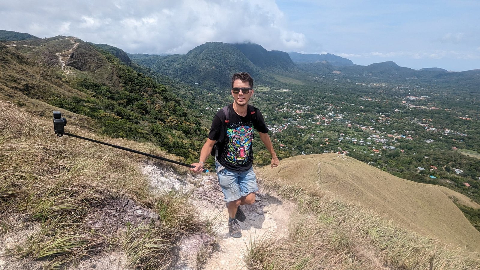
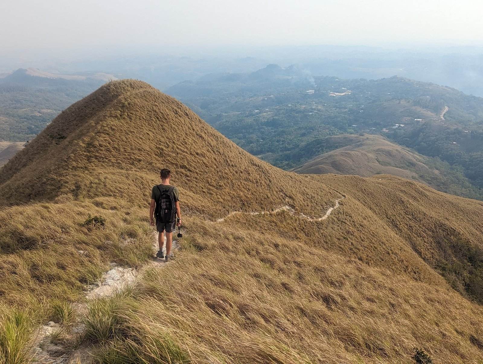
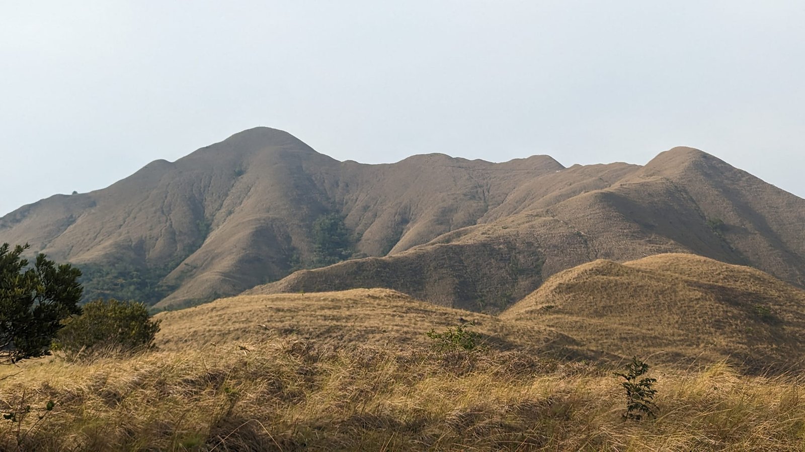
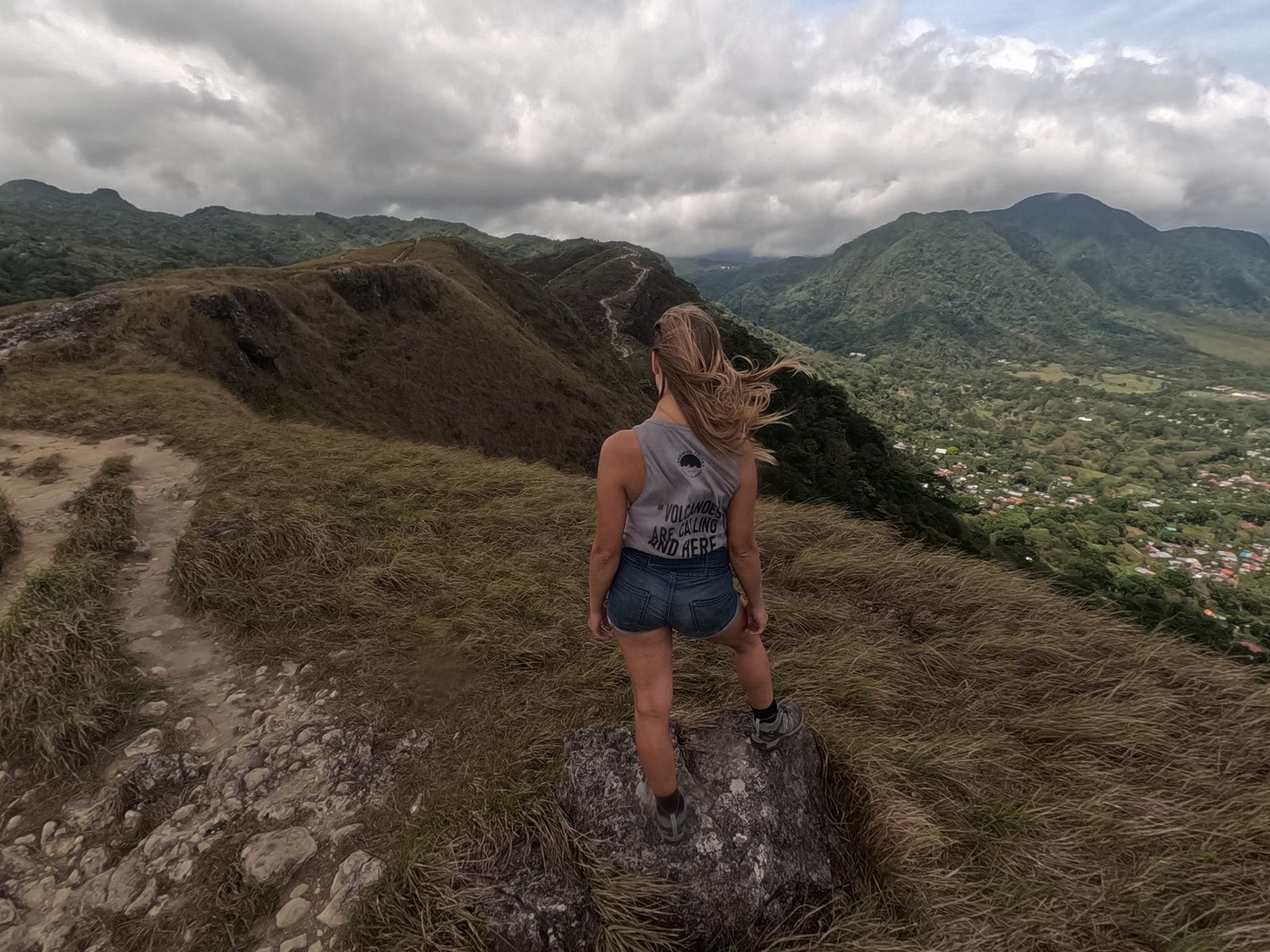
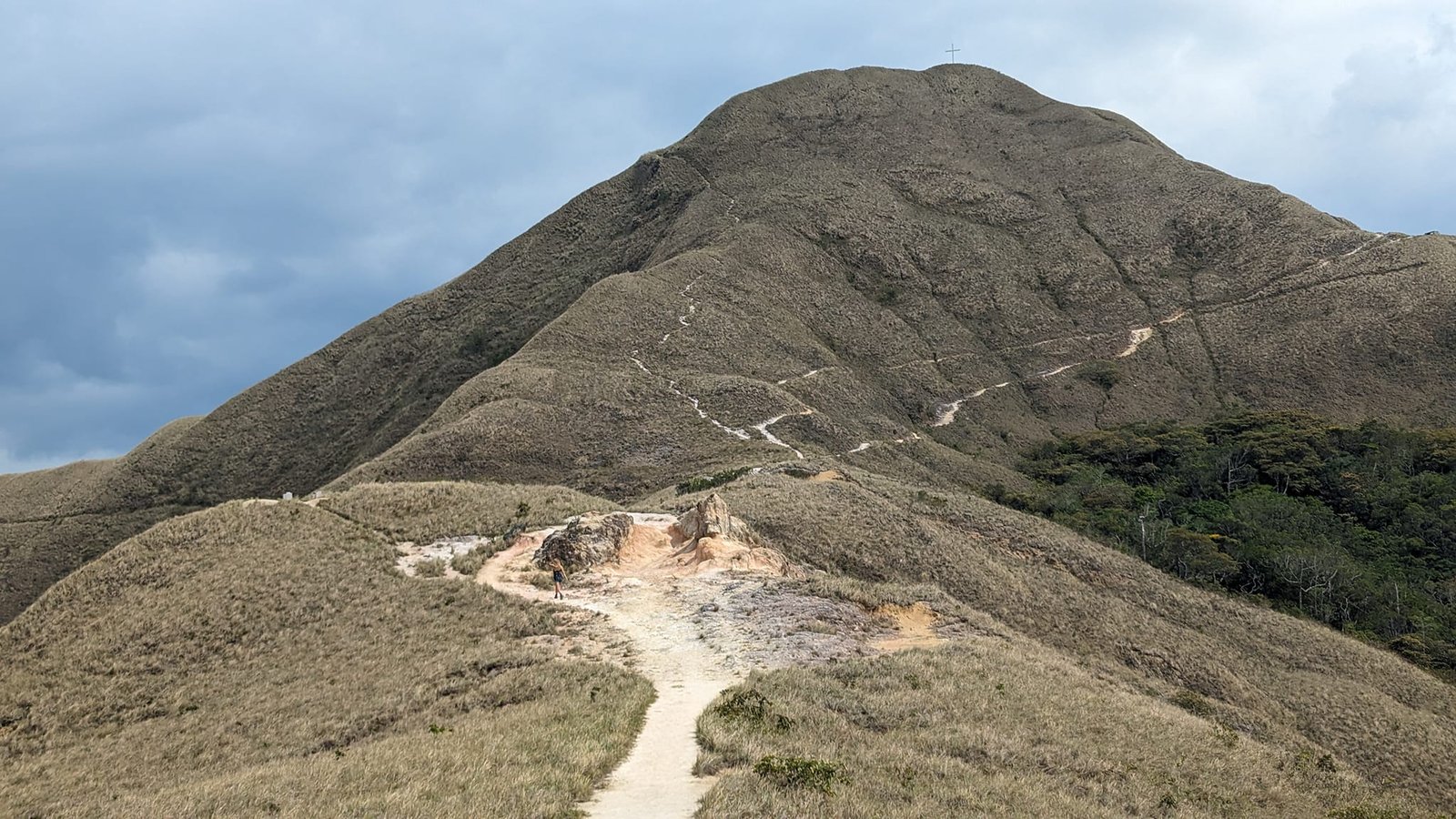
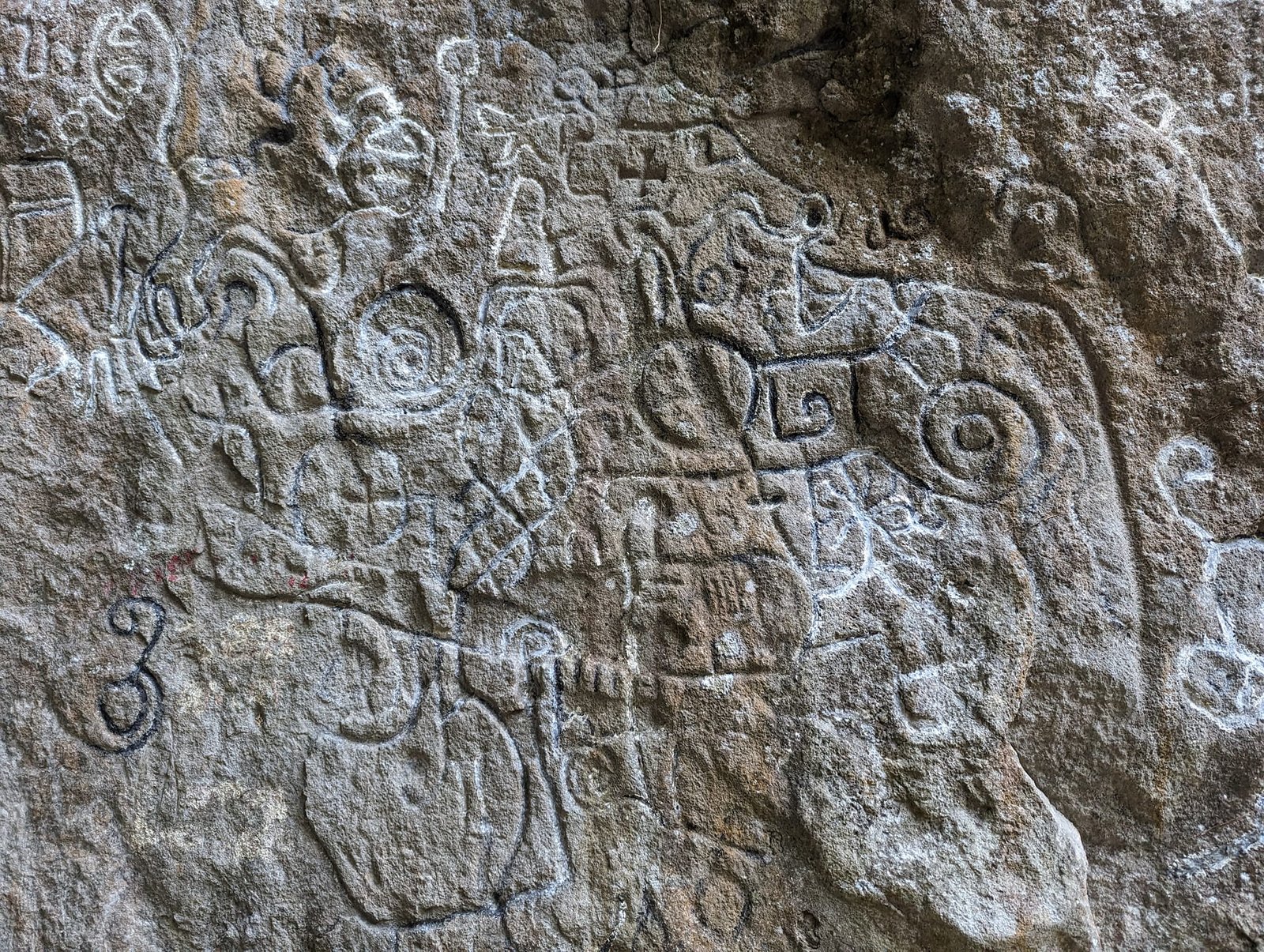
What are these mountains like? The forest grows only up to a certain height, and above it there is nothing but grass – a bit like the grassy ridges of the Bieszczady Mountains in Poland or the hills of Ireland. On one of the trails we also came across a rock with carved petroglyphs.
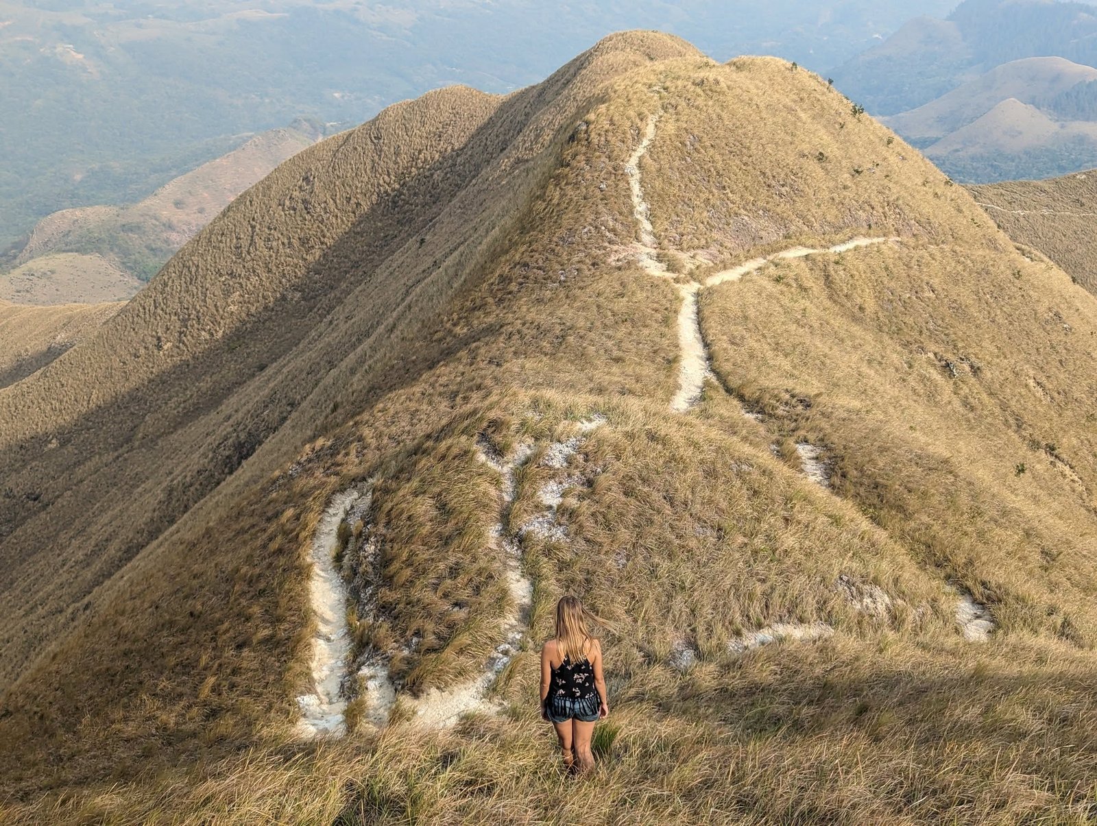
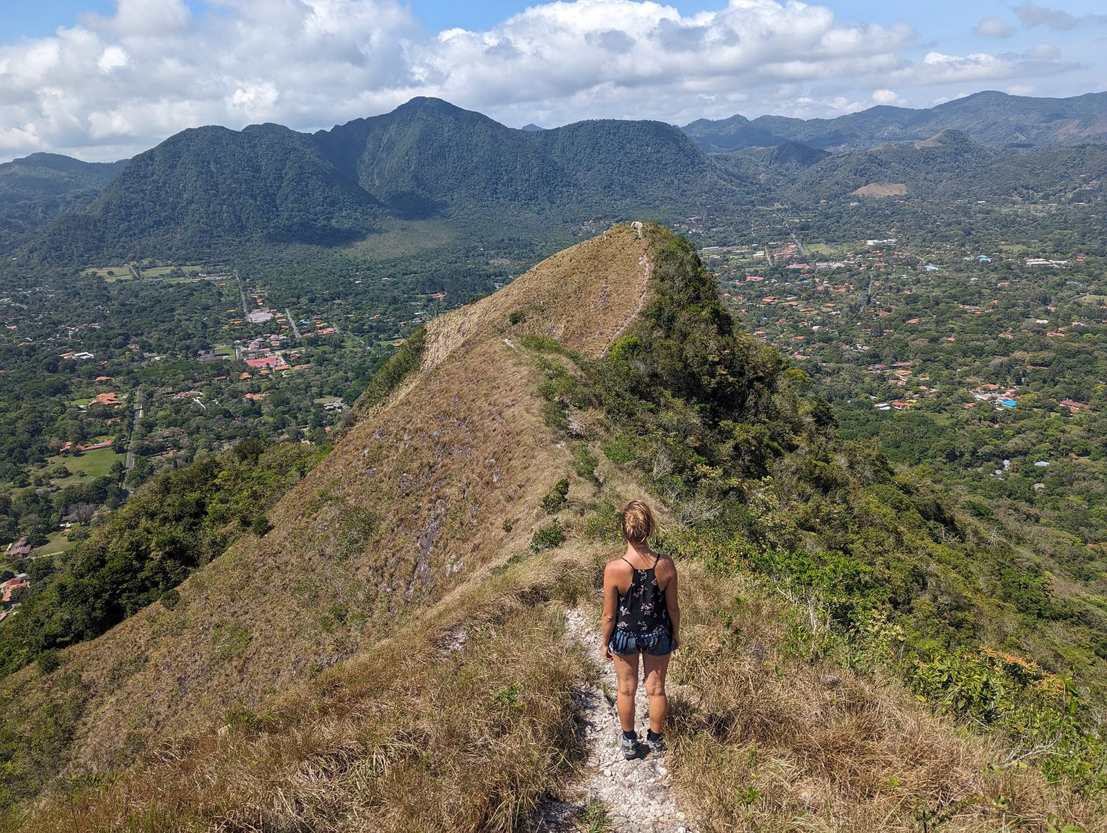
The trails are easy, and it was dry too. But mountains are mountains – you always have to be careful and, above all, dress properly. We witnessed a rescue operation: a young man had probably broken his leg – and he had gone into the mountains in Crocs. He was not the only one, either.
We hit the weather window perfectly: it was windy every day, but it only got really cloudy and rainy on the day we left for the capital. We stayed at the Don Casa de Juan hostel – the best value we could find. The town itself is small and quiet, with a church, a market full of fruit and brightly painted buses.
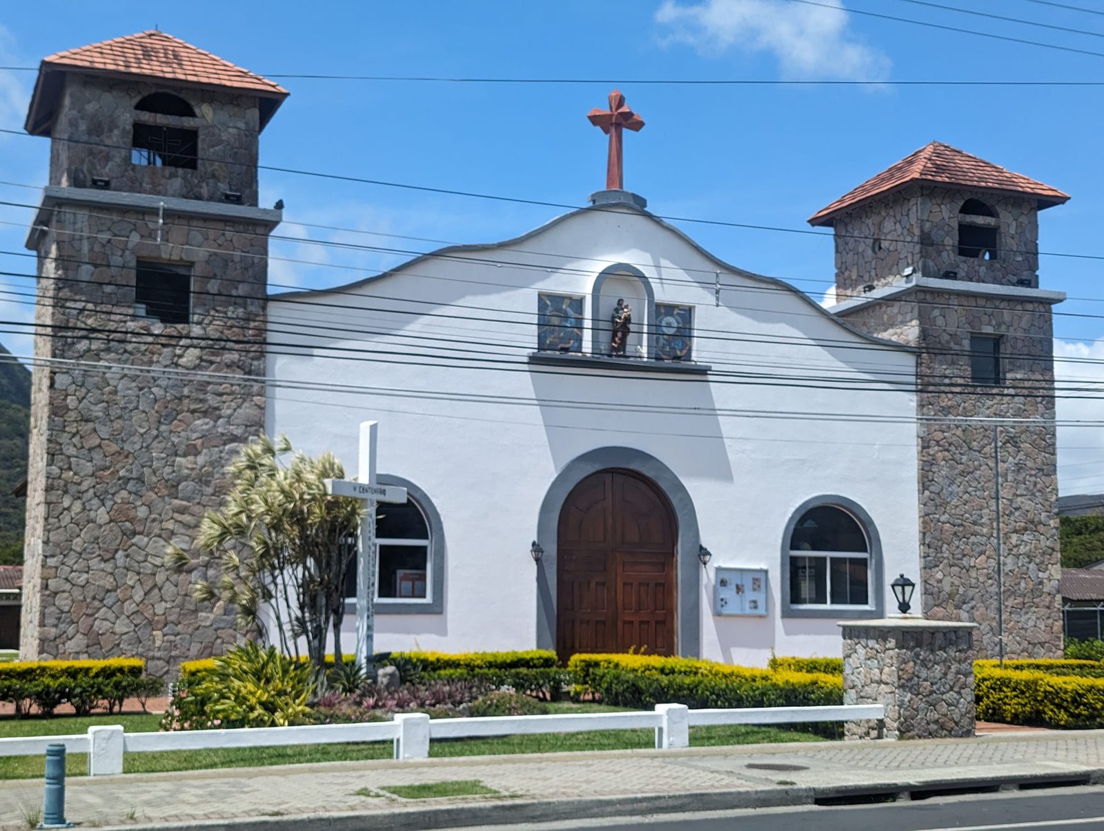
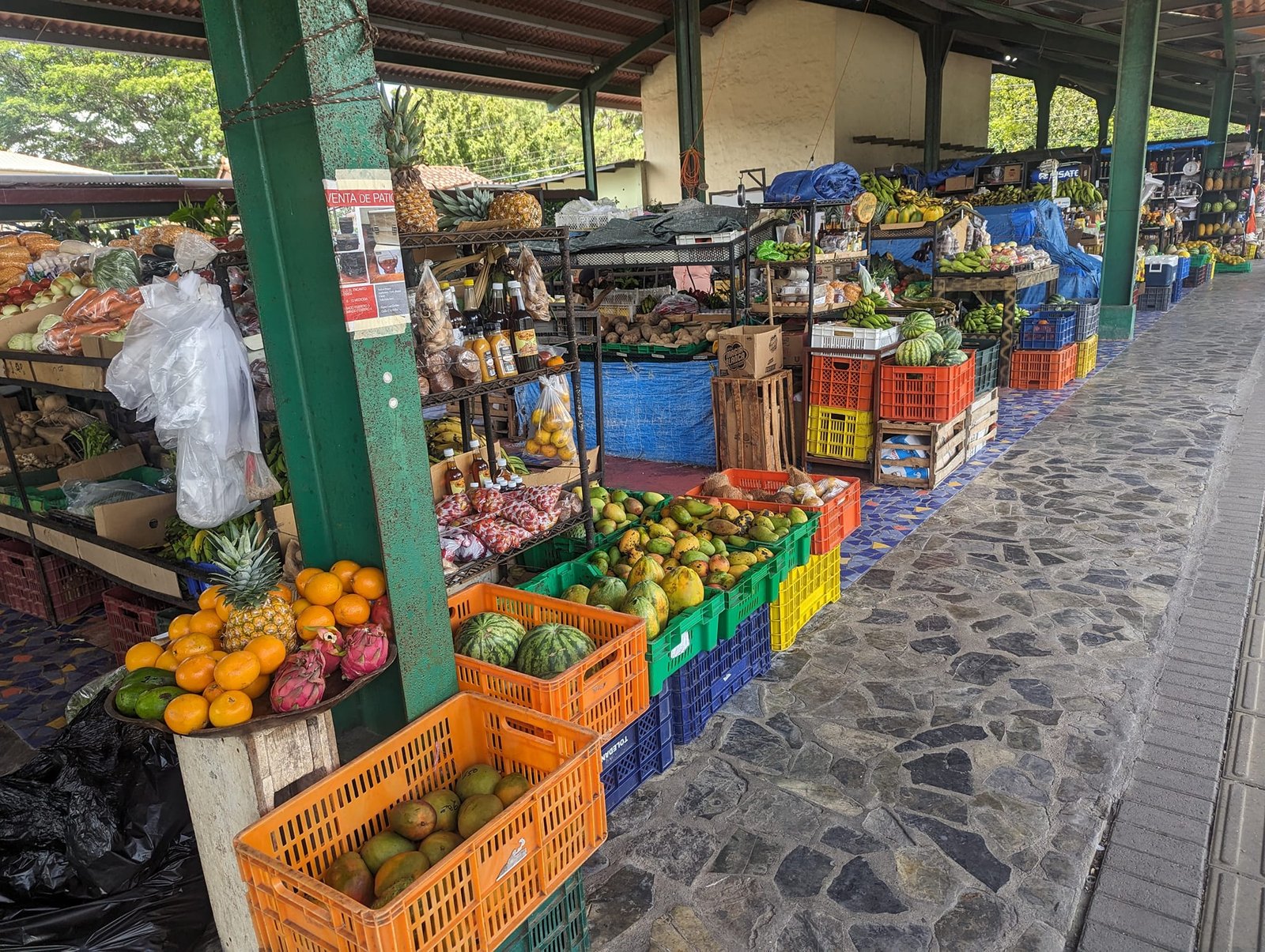
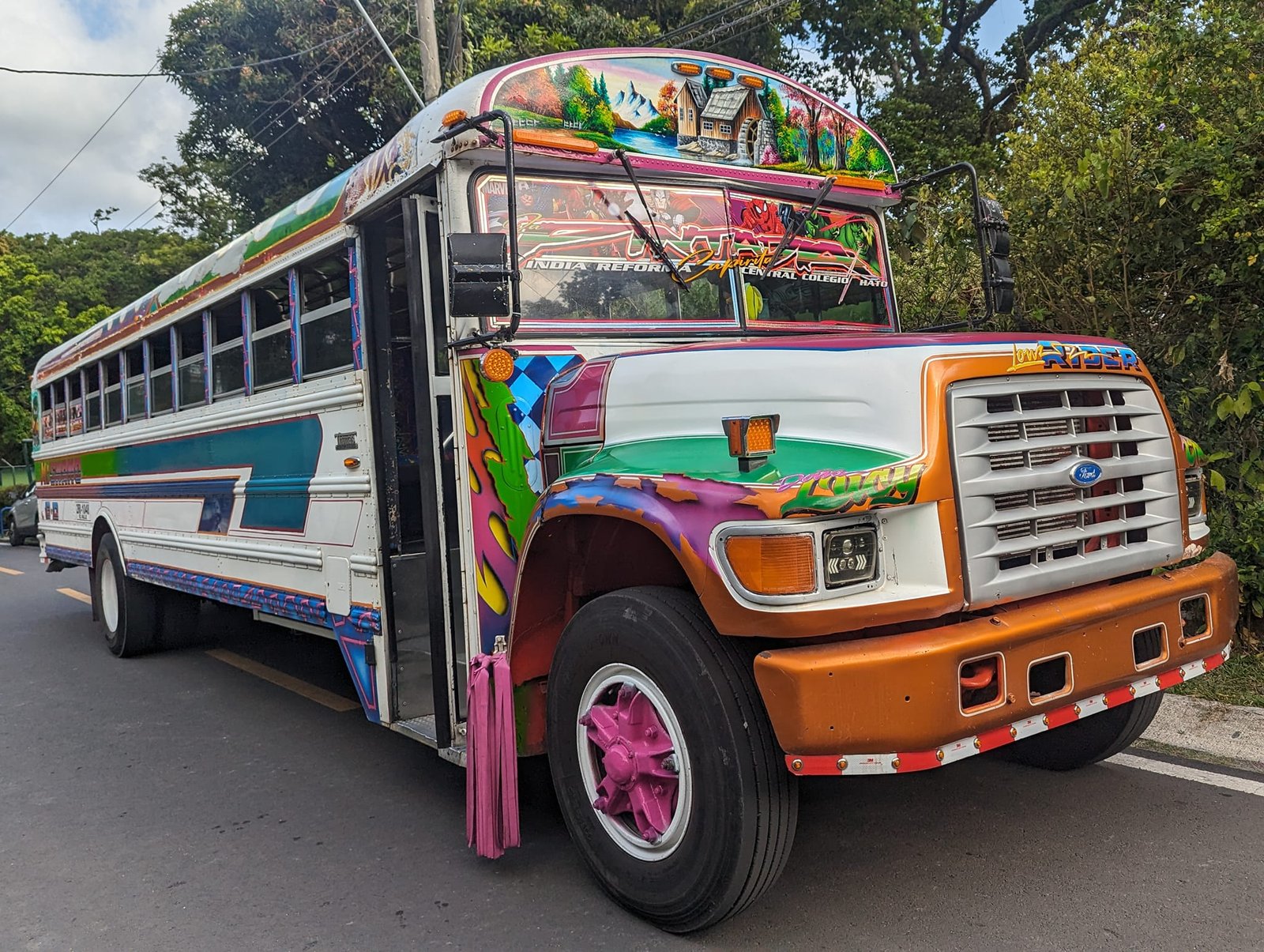
From El Valle de Antón we went to the capital – more about it in the post Panama City – the Panama Canal, Casco Viejo and wildlife in the middle of the capital.
Practical information
- Costa Rica – Panama border – we crossed it on the Caribbean coast; formalities were quick and nobody checked onward tickets. As Poles we did not need a visa – how long you can stay is decided by the date on the entry stamp (as of 2024).
- Getting to Boquete – with a change in the city of David. Buses run between Alto and Bajo Boquete, and there are taxis too; the ride takes under 10 minutes.
- Accommodation – in Boquete, The Yellow House hostel in Alto Boquete (kitchen, fast internet, free washing machine and dryer); in El Valle de Antón, Don Casa de Juan, the cheapest we found (April 2024).
- Trails in Boquete – El Pianista: about 9 km return, 600 m of elevation gain; The Pipeline: about 7 km return, 500 m of elevation gain. In the low season (April 2024) we did not pay any entry fee; in other months about 5 USD was reportedly charged.
- Hanging bridges (Boquete Tree Trek) – guided tour 30 USD per person (April 2024), a loop of about 3 km and 200 m of elevation gain, 6 bridges; you book it in the centre of Bajo Boquete.
- Barú volcano – taxi from Alto Boquete to the trailhead: 11 km, 10 USD for two people (2024). The route is 14 km one way with about 1900 m of elevation gain; it took us 6 hours up and 4 down. Officially you have to register your climb by e-mail and start between 4:00 and 13:00, and a guide is recommended; nobody charged us a national park fee. You can also get near the summit by 4×4. Arrange your transport back in advance – in the afternoon the last cars leave the car park.
- El Valle de Antón – the trails La India Dormida (3 USD from one side, April 2024), Cerro Cara Iguana, Cerro La Silla and Cerro Gaital; some are about 10 minutes away by bus, the others within walking distance of the town.
- Weather – in April the first days in Boquete were windy, foggy and damp; in El Valle de Antón it was windy but dry.
- Insurance – check its dates before heading into the mountains; mine expired during the trip, and the new one only started after a waiting period.
- Costs – throughout Panama (22 days) we spent on average 24 USD (about €23) per person per day, counting all expenses.
Summary
Boquete and El Valle de Antón showed us a Panama completely different from the one associated with skyscrapers and the canal: cloud forests, hanging bridges above the treetops, grassy ridges like mountain meadows and the country’s highest peak. For eight days in a row we hiked a different trail every day, and that is what we remember best from Panama. If we had to pick just one – Barú is a must, although on foot it takes a fair bit of effort.
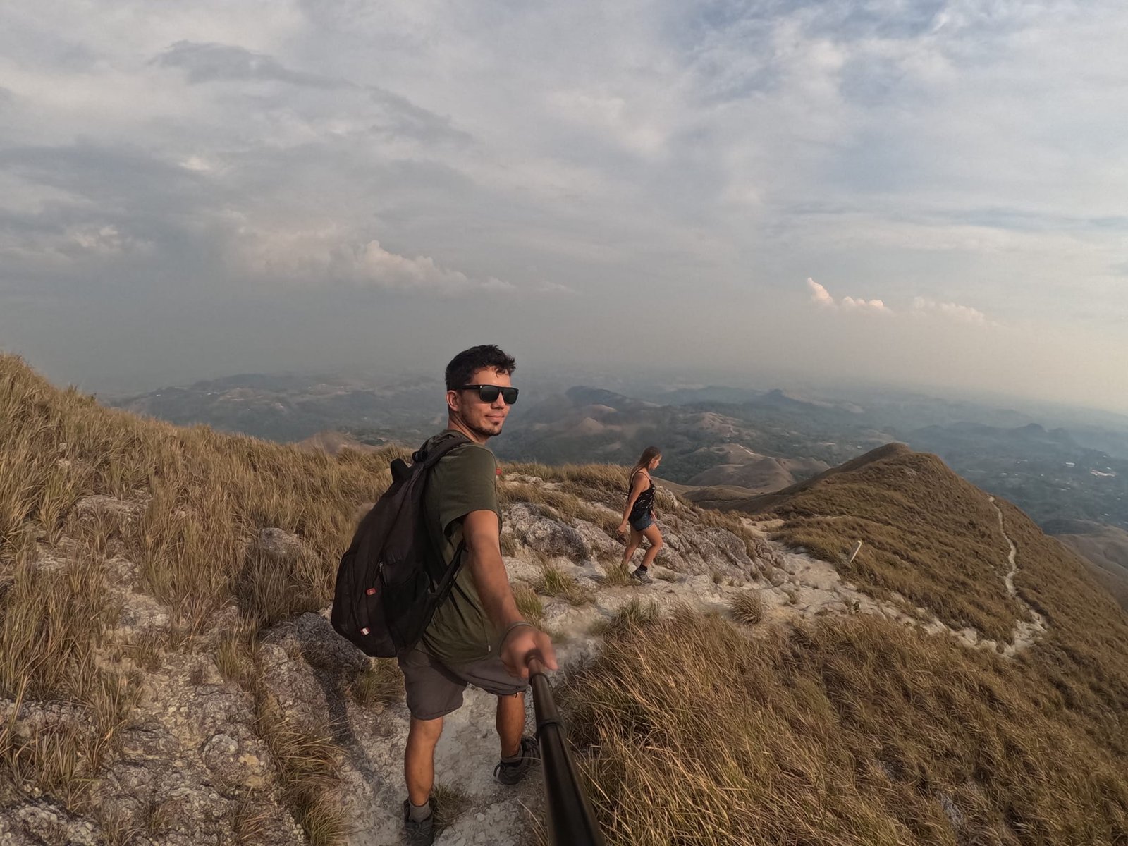
Photo gallery