Grand Canyon National Park in Arizona is one of the showpieces of the United States and a place on every “must see” list. It is the most extensive canyon system in the world – the Colorado River carved it over a length of about 446 km, and in places it is almost 1.8 km deep. We got here on 29 September 2018, during our month-long trip after finishing the Work & Travel programme. We spent the first day at the viewpoints, on the second we hiked down the Bright Angel Trail all the way to the Colorado River, and on the third we visited Marble Canyon and Horseshoe Bend. In this post you’ll find out whether the Grand Canyon is really worth a visit, whether it’s worth hiking down into it and what else to see in the area.
Table of contents
- On the way: Route 66
- Viewpoints on the South Rim
- Bright Angel Trail – down to the Colorado River
- Cathedral Wash in Marble Canyon
- Horseshoe Bend
- Practical information
On the way: Route 66
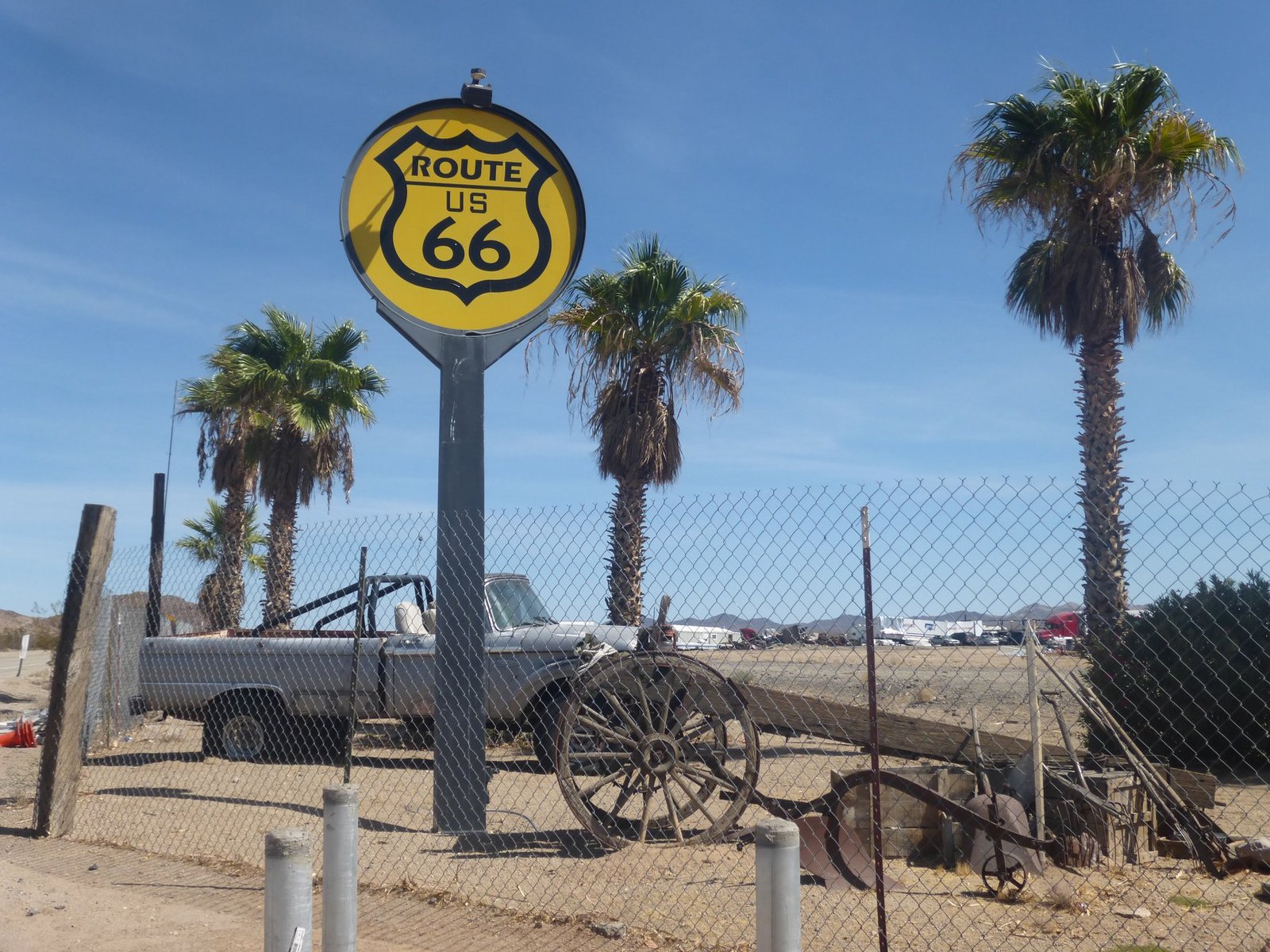
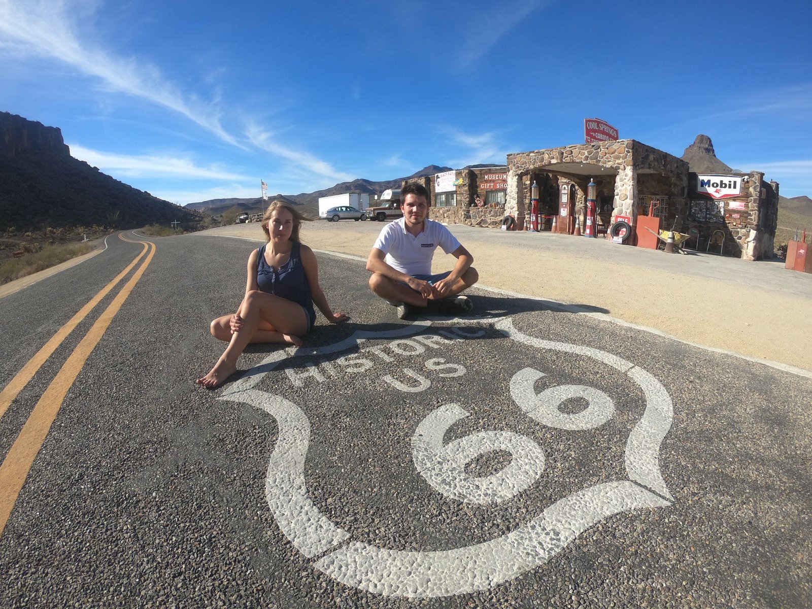
Before we reached the park, on 28 September we drove a stretch of the historic Route 66, which once connected Chicago with Los Angeles. We stopped at Cool Springs Station – a rebuilt petrol station from the 1920s, today a small museum and souvenir shop on the winding section of road towards Oatman. Old cars, signs and the Route 66 shield painted on the asphalt – a must-stop for anyone driving this way.
Viewpoints on the South Rim
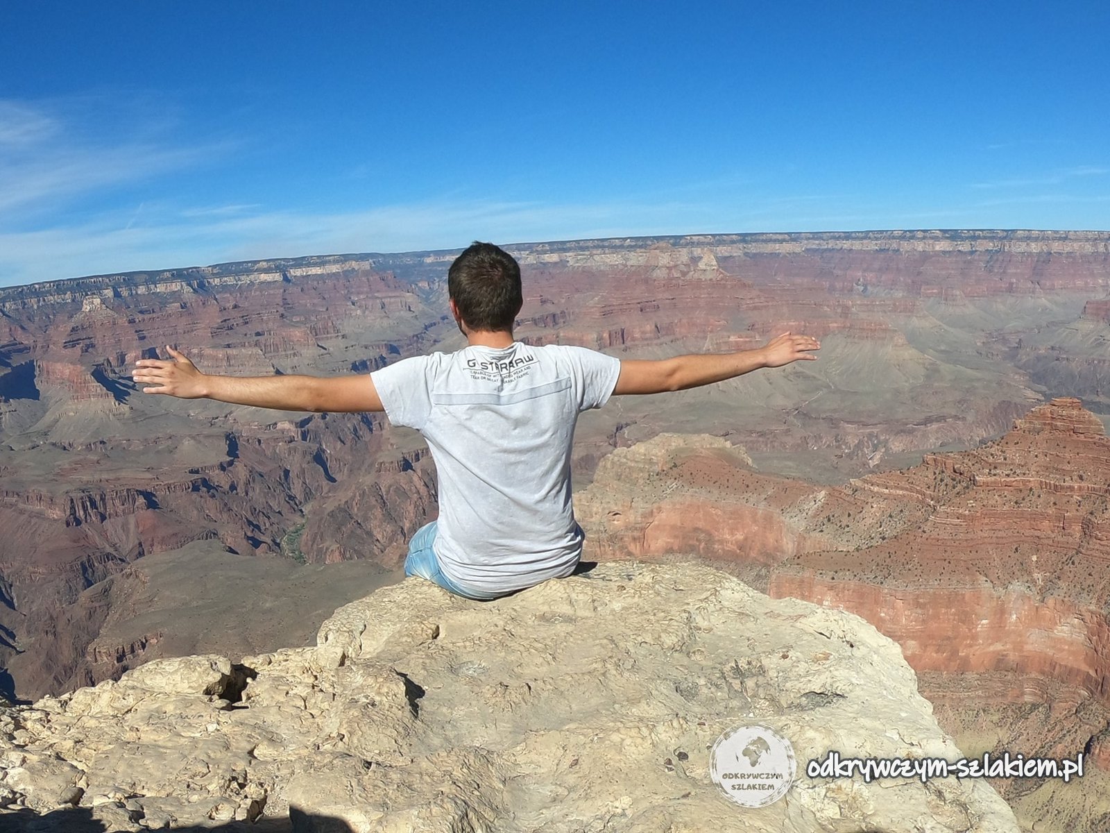
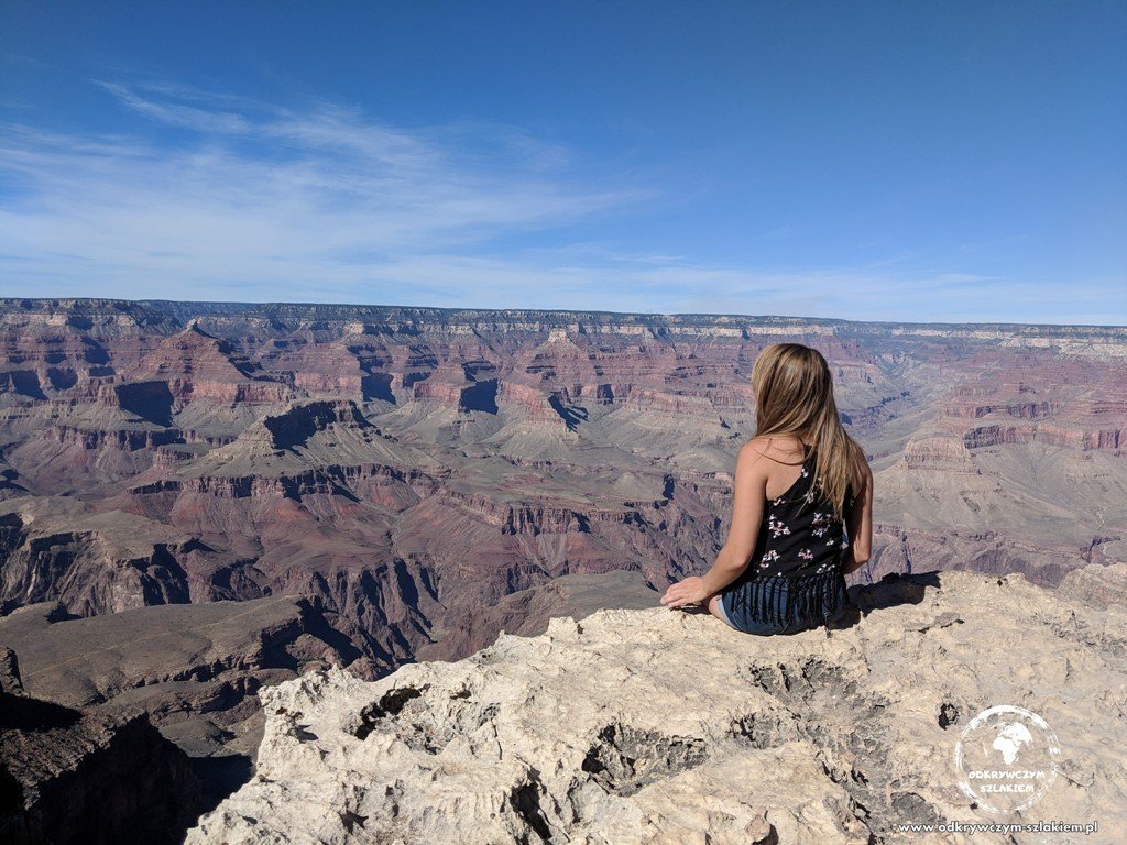
The Grand Canyon is above all about viewpoints – and they’re all spectacular. We recommend the southern edge of the canyon (South Rim): it’s the easiest to reach and open all year round, unlike the northern one (North Rim), which only opens seasonally. Of all the viewpoints we saw, we liked Mather Point and Hopi Point the most. Free park shuttle buses run along the rim, so you can leave the car in a car park and move between the viewpoints – and for most of the year you can only get onto Hermit Road by shuttle anyway.
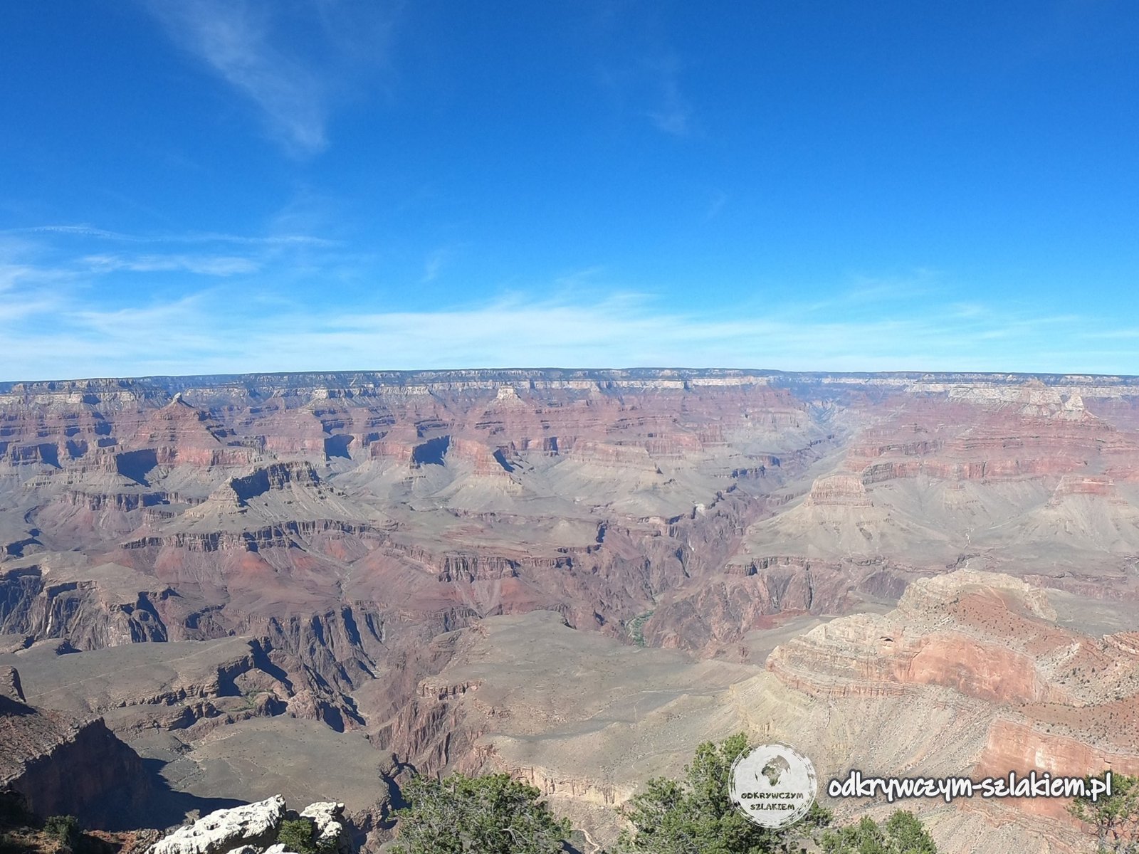
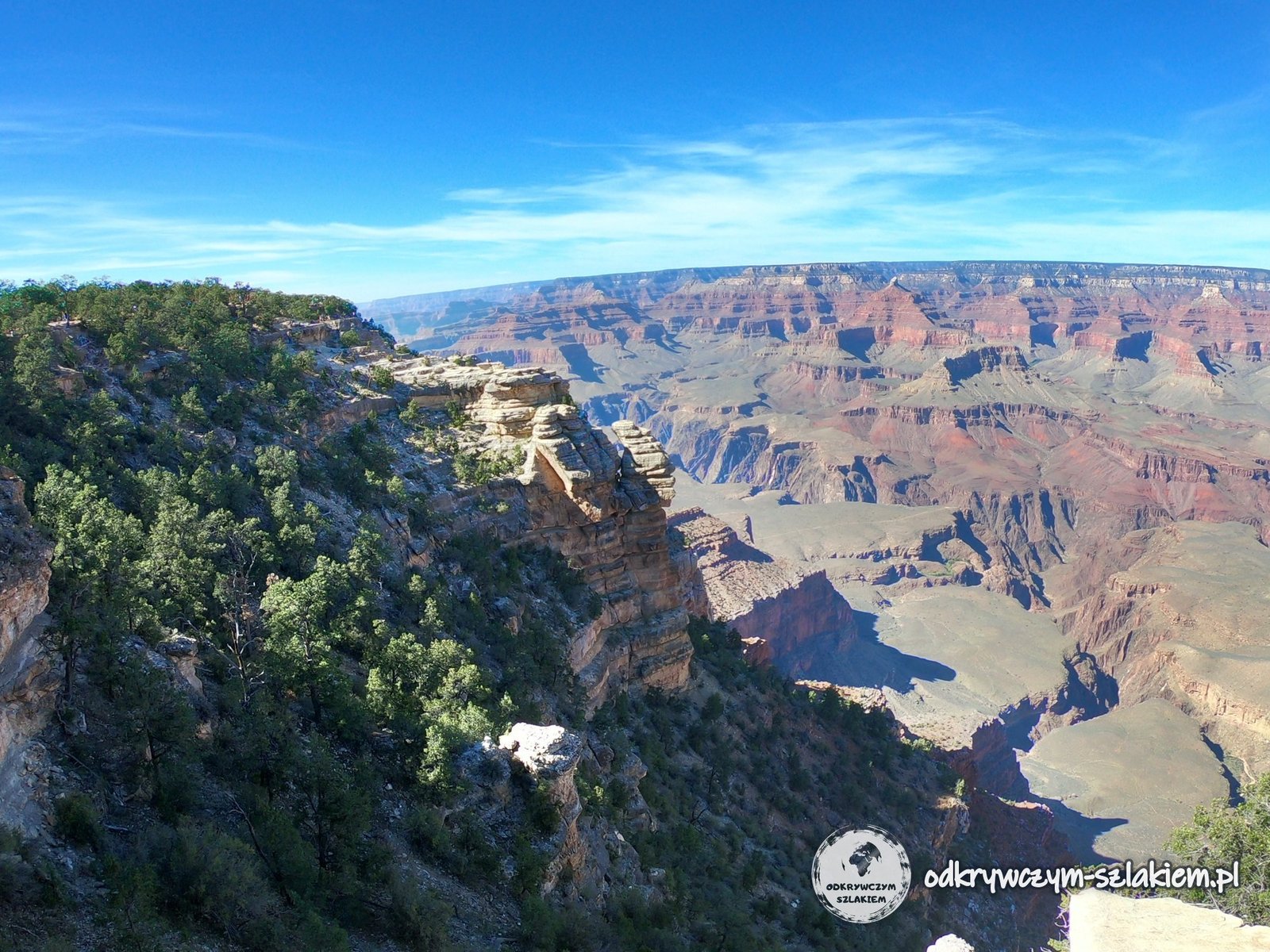
Viewpoints on the South Rim, from east to west:
- Shoshone Point (a short walk from the car park)
- Ooh Aah Point (the first switchbacks of the South Kaibab Trail)
- Yavapai Point
- Mather Point
- Trailview Overlook
- Powell Point
- Hopi Point
- Mohave Point
- The Abyss
- Monument Creek Vista
- Pima Point
- Hermits Rest
Bright Angel Trail – down to the Colorado River
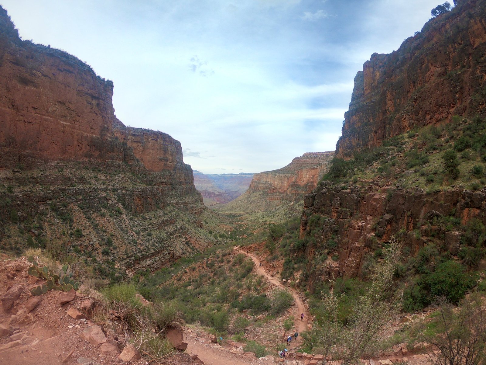
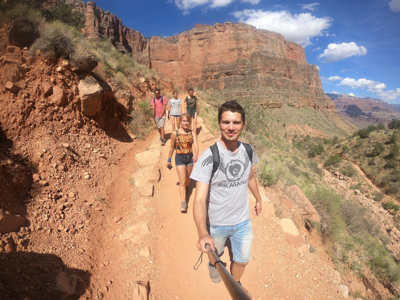
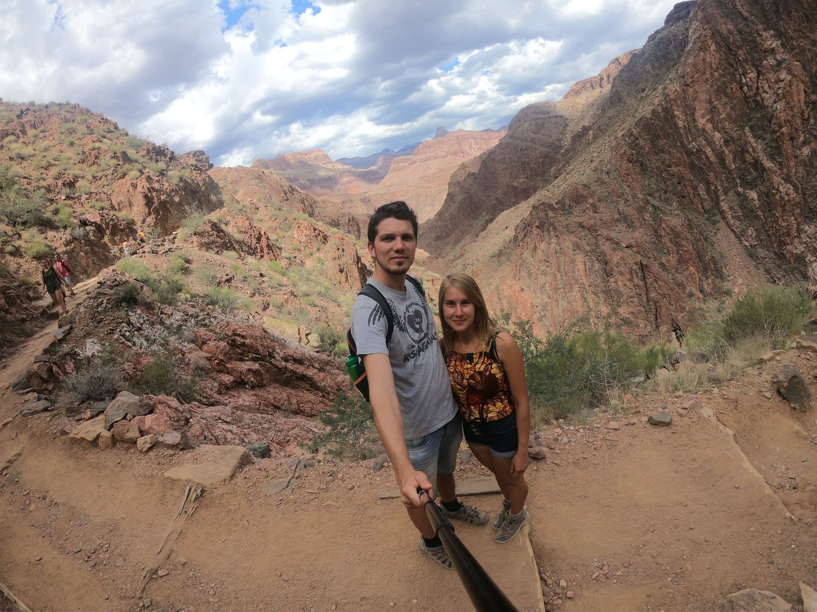
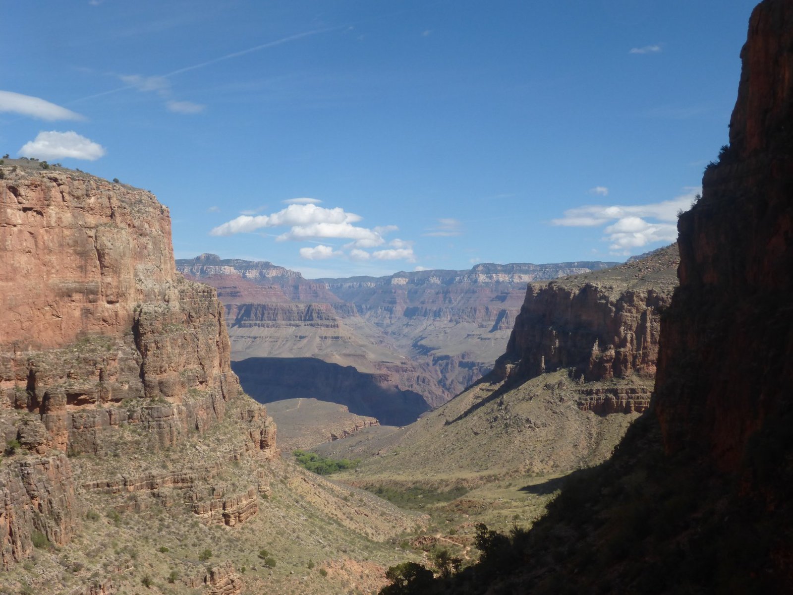
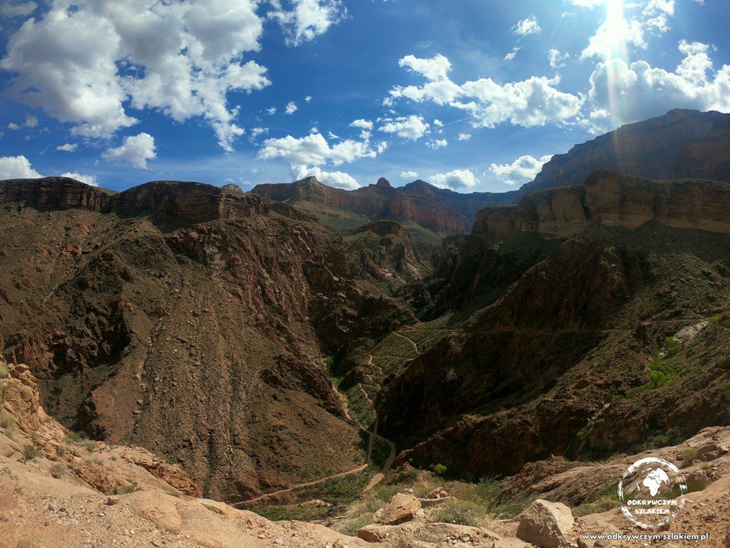
The viewpoints are breathtaking, and the sheer size of the canyon can be overwhelming. But only by hiking down into it can you see the Grand Canyon from below and grasp its true scale. On the second day, 30 September, first thing in the morning we set off on the Bright Angel Trail, which starts in Grand Canyon Village. We went all the way down to the Colorado River and came back the same way – it came to about 26 km, the longest distance we had ever covered in one day up to then.
The trail zigzags down through layer after layer of rock – the lower you go, the warmer and more desert-like it gets. The descent to the river (to River Resthouse) is about 12.5 km one way, with about 1340 m of elevation difference. Since you come back the same way, uphill the whole time, you should allow roughly twice as much time for the return as for the descent. The route is considered demanding, but it’s very well marked.
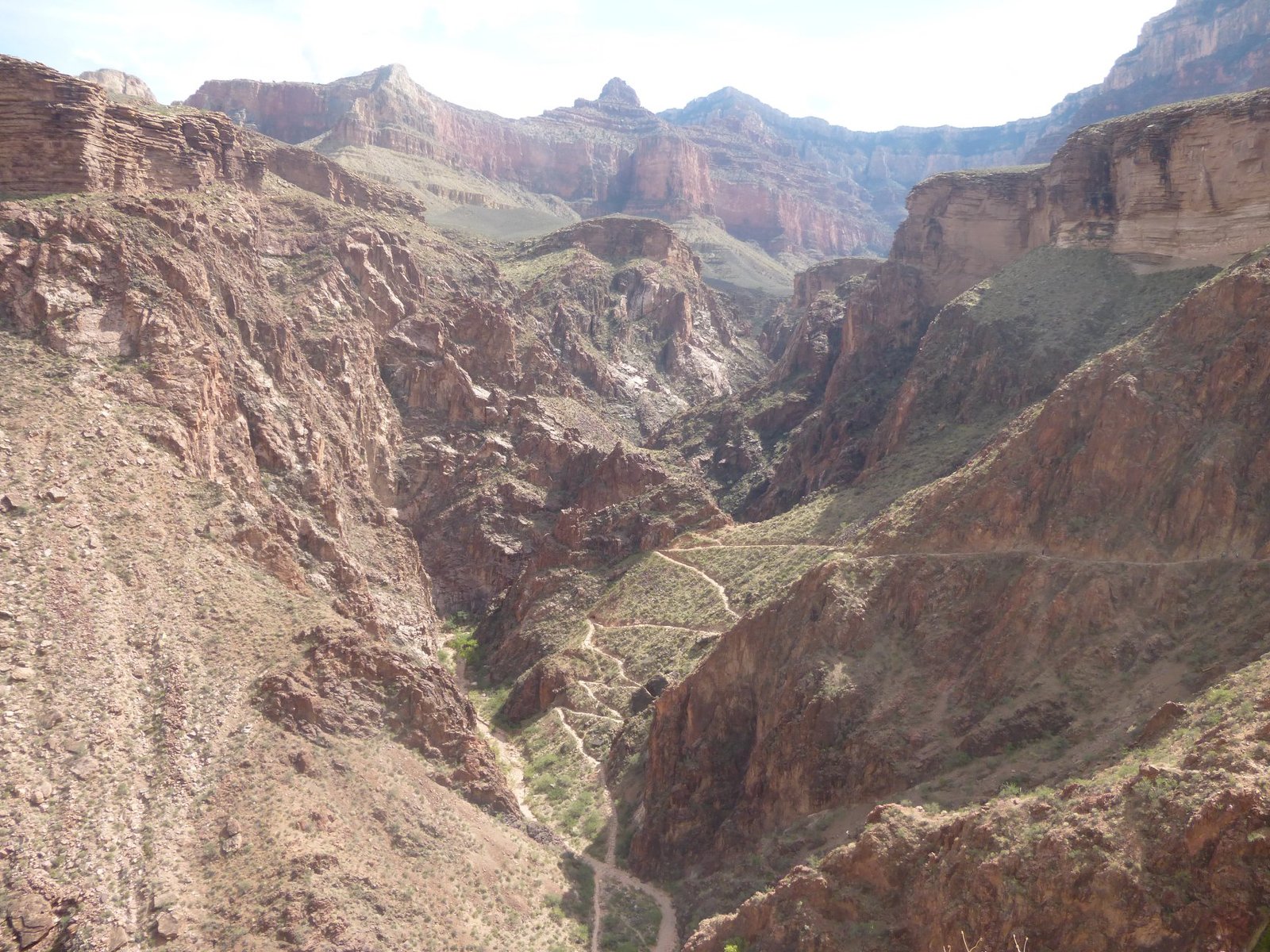
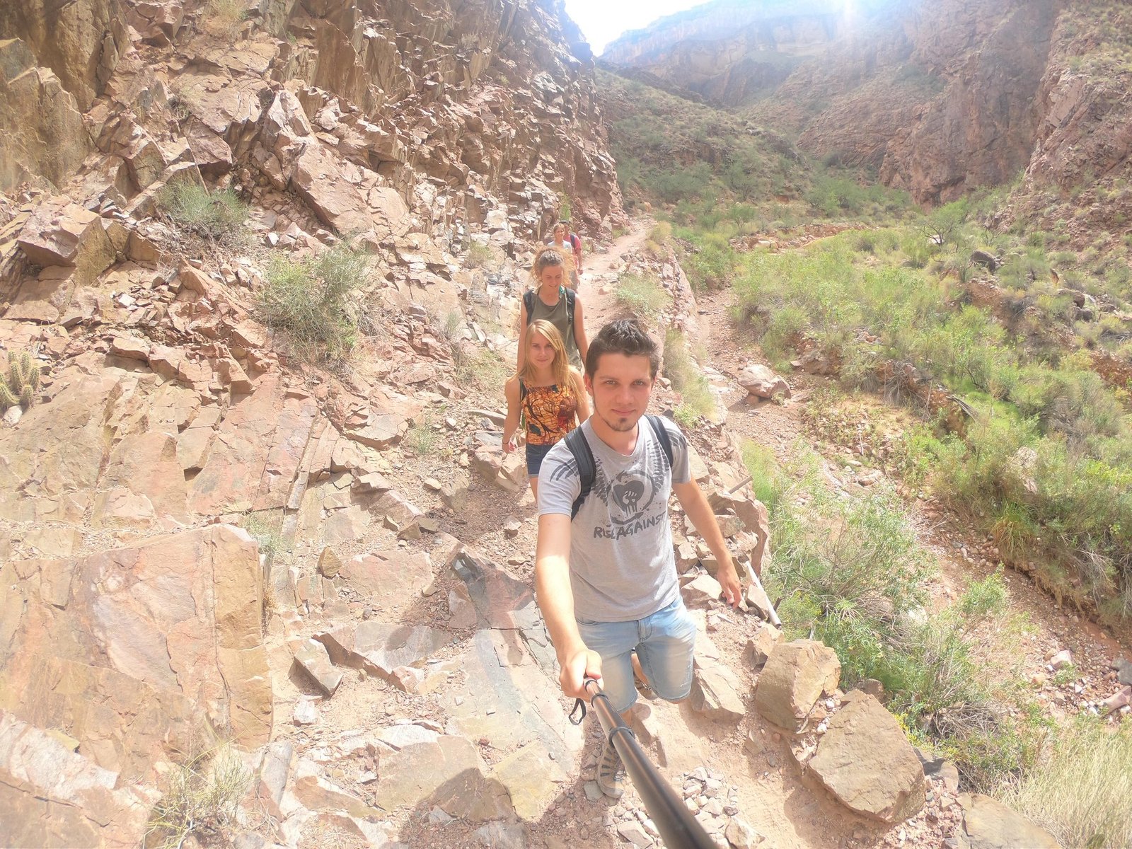
Along the way there are drinking water points – Mile-and-a-Half Resthouse and Three-Mile Resthouse (seasonal) and Havasupai Gardens (formerly Indian Garden), a green oasis roughly halfway. Even so, you need to carry plenty of water, something to eat and a hat. The park advises against hiking down to the river and back in one day, especially in summer – we went at the end of September, in bearable temperatures, set off early in the morning and were back before dark, but we felt it in our legs for a long time.
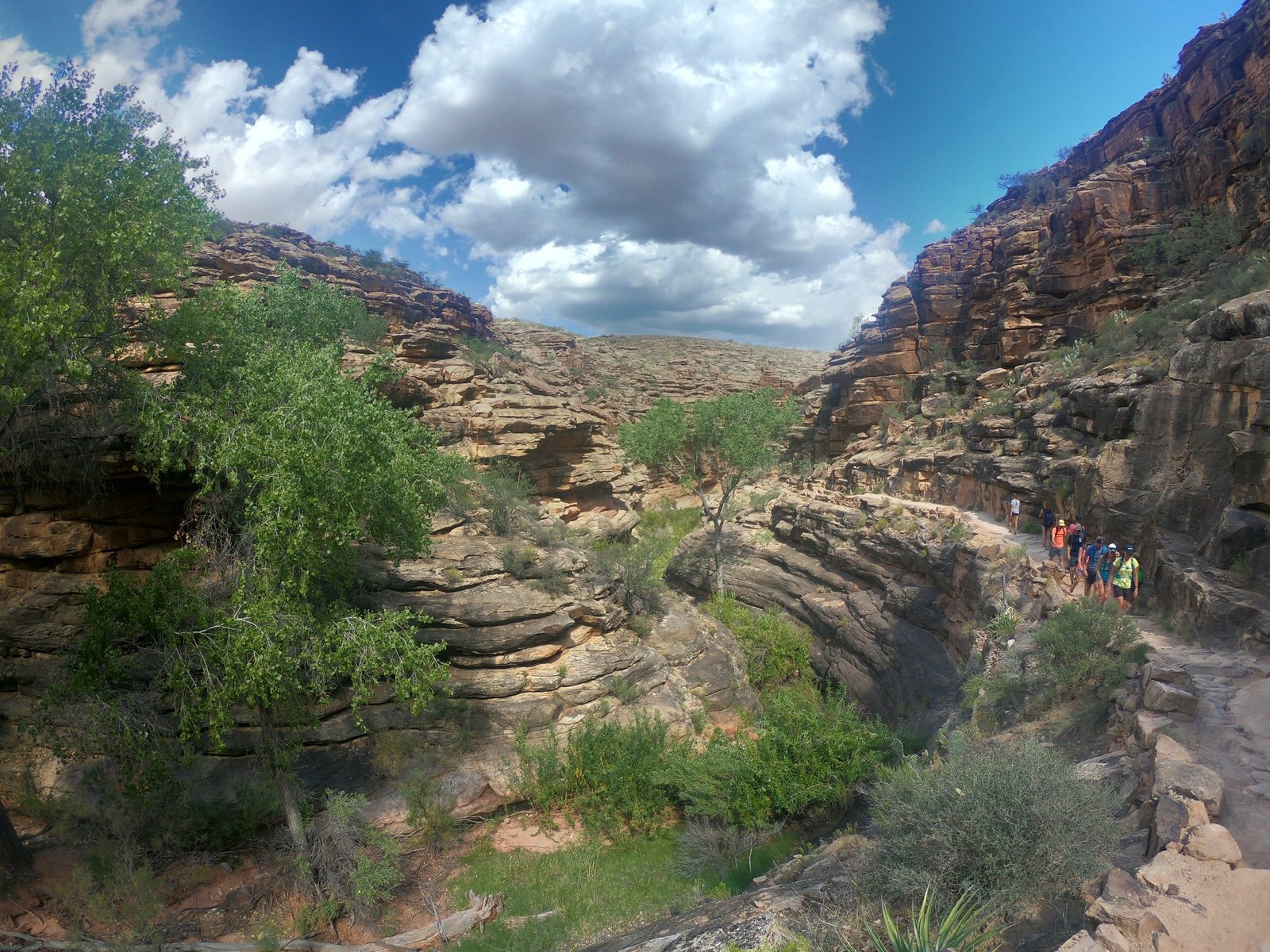
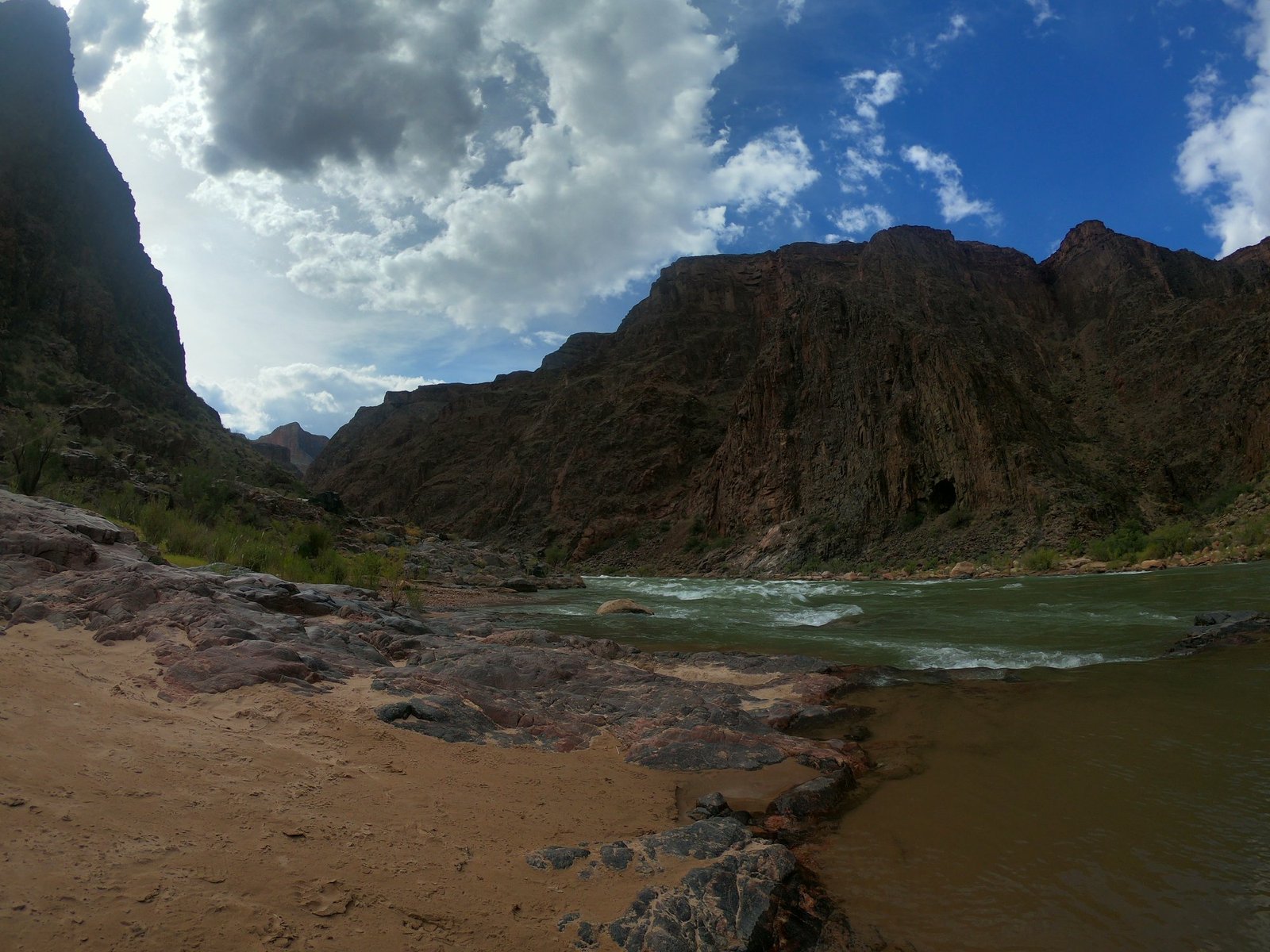
At the bottom a reward was waiting – the Colorado River flowing along the floor of the canyon, whose walls rise more than one and a half kilometres above it. Anyone who wants to stay in the canyon overnight needs a backcountry permit, which you have to apply for several months in advance. That’s why most people only do part of the trail and turn back – for example at Havasupai Gardens or at the Plateau Point viewpoint. Even a section like that shows the canyon from a completely different perspective than from the rim.
Cathedral Wash in Marble Canyon
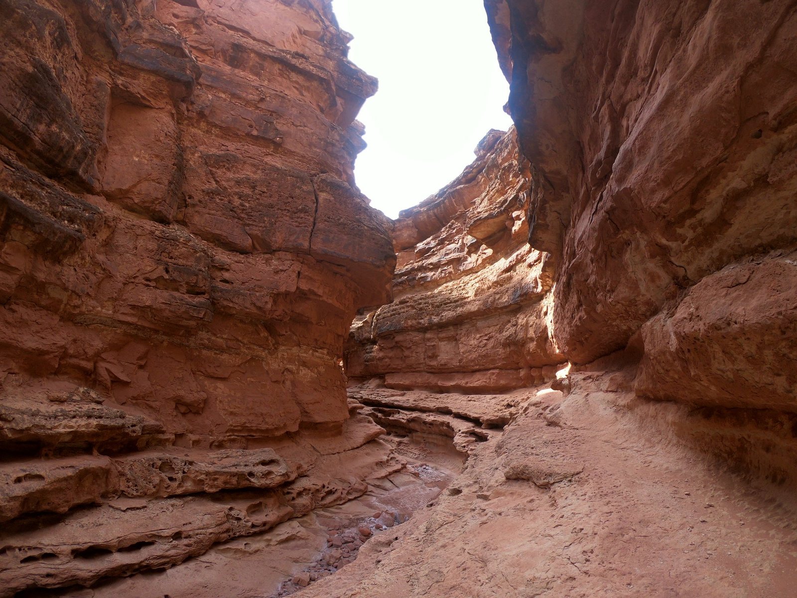
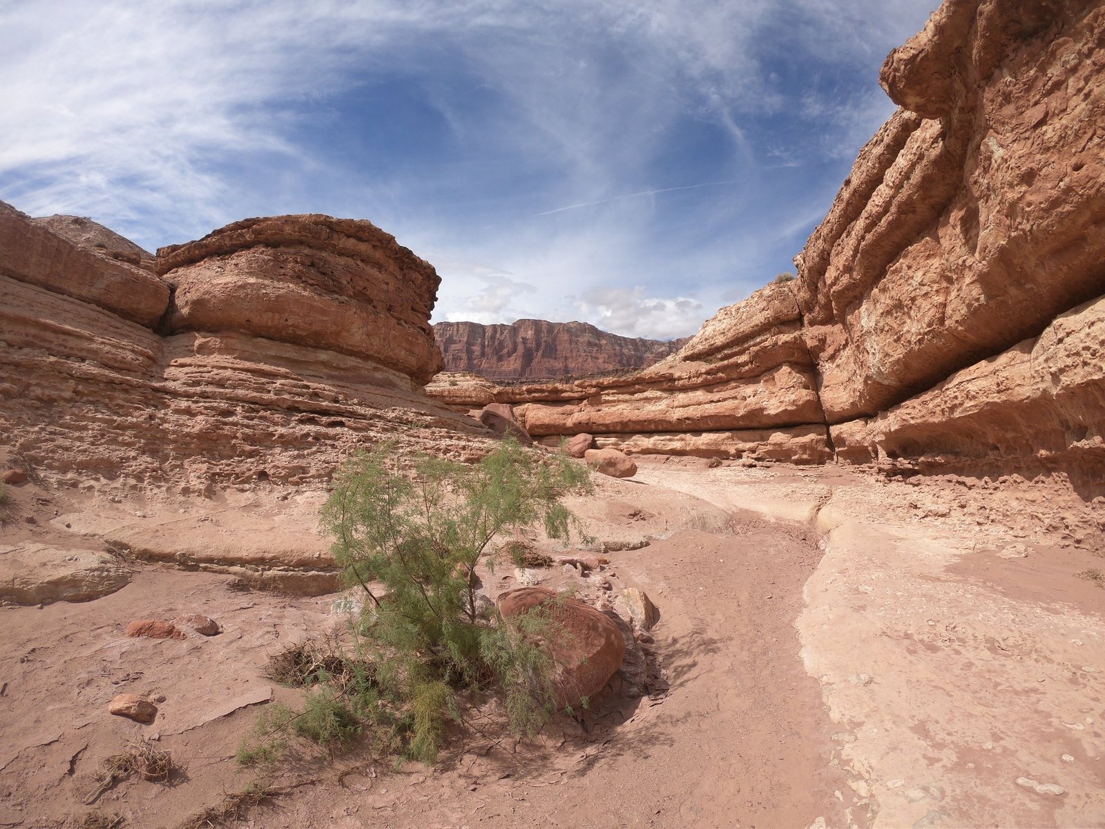
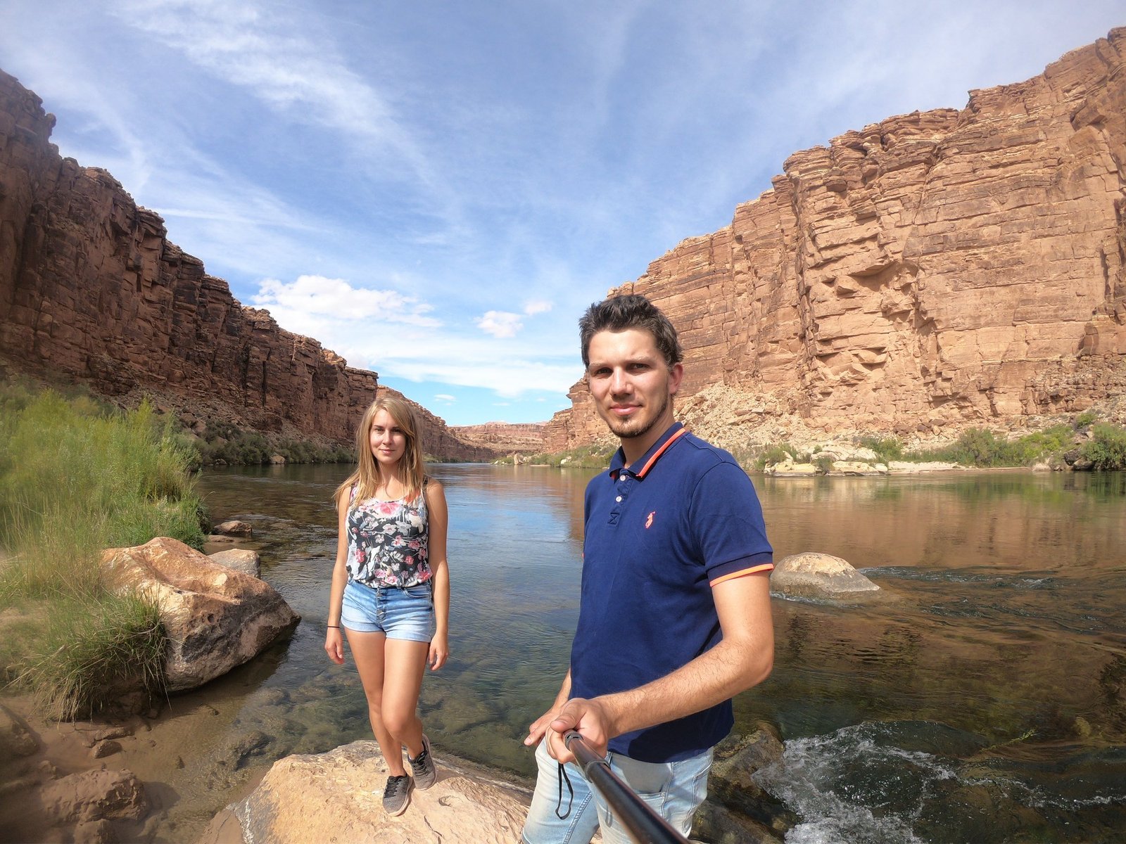
On 1 October we drove to the area of Marble Canyon, where the Grand Canyon begins – near Lees Ferry, within Glen Canyon. There we walked the short but very pretty Cathedral Wash trail: a dry creek bed between layers of red sandstone leads all the way down to the Colorado River. It’s about 5 km there and back (you return the same way) and about an hour and a half of walking, and in a few places you have to scramble over rocks a little. If there’s a risk of a storm, better skip it – the creek bed then turns into a raging torrent.
Horseshoe Bend
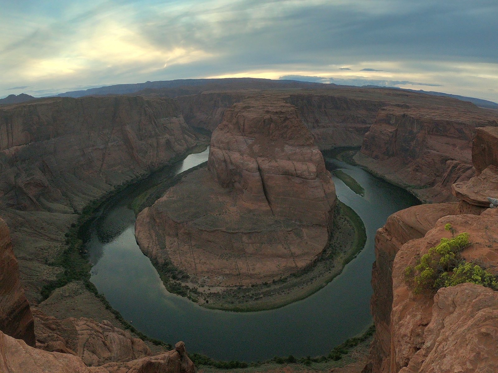
At the end of the day we stopped at Horseshoe Bend near the town of Page – one of the best-known views in the USA. Here the Colorado River curves around a horseshoe-shaped rock about 300 metres below the edge of the cliff. From the car park it’s less than a kilometre one way. It’s prettiest at sunset, although that’s also when it’s busiest – and be careful: along most of the edge there are no railings. It’s definitely worth stopping by if you’re in the area anyway. From here we headed on to the national parks of Utah.
Practical information
Getting there
The South Rim is easiest to reach by car: it’s about 130 km from Flagstaff, about 370 km from Phoenix and about 450 km from Las Vegas. We came from Joshua Tree National Park in California, stopping on the way at Route 66 – about 600 km in total. From the Grand Canyon via Marble Canyon to Page (Horseshoe Bend) we drove another 410 km or so.
Accommodation
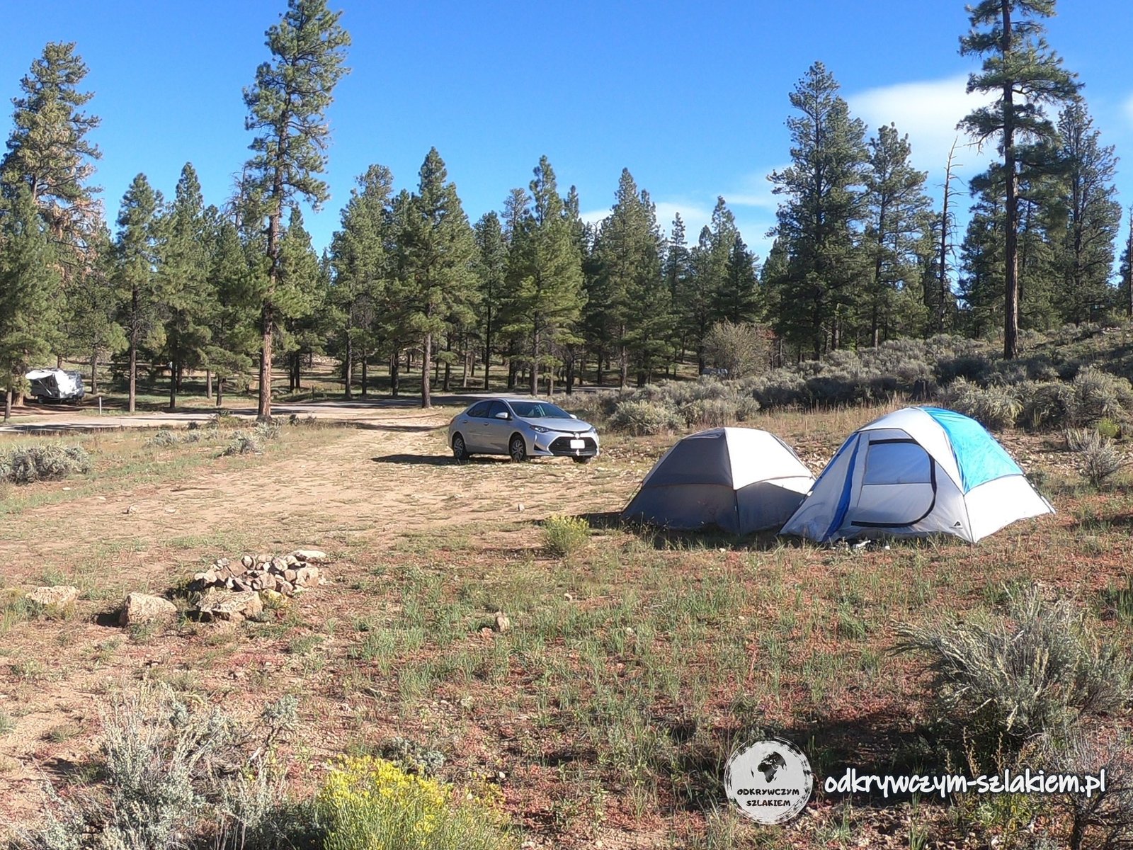
We camped about 20 km from Grand Canyon Village. In the park itself there are campsites (e.g. Mather Campground – pitches must be booked in advance) and hotels, and in the Kaibab National Forest surrounding the park you can pitch a tent for free outside designated campsites, following the rules of so-called dispersed camping. The South Rim lies at about 2100 m, so the nights can be cold – a warm sleeping bag is a good idea.
Cost
In 2018 entry by car cost 35 USD – a ticket valid for 7 days for everyone in the car. Entry is also covered by the annual America the Beautiful pass, valid in almost all US national parks, which pays off very quickly on a road trip through several parks. Note: from 2026, visitors from outside the USA pay an extra 100 USD per person at the Grand Canyon (and at a few other of the most popular parks), or buy the annual non-resident pass for 250 USD. Check the current prices on the park’s website before you go – nps.gov/grca.