After ten days on the Galápagos we returned to Quito and headed straight into the mountains. On 7–9 June 2024 Patrycja and I hiked the Quilotoa Loop – a three-day trek through the Ecuadorian Andes, from village to village, staying in hostels along the way. You can walk the trail in either direction: from the small town of Sigchos to the Quilotoa lagoon or the other way round. We chose the second option – we started at the highest and most important point of the whole route, the lagoon in the volcano’s crater, and then spent most of the time walking downhill.
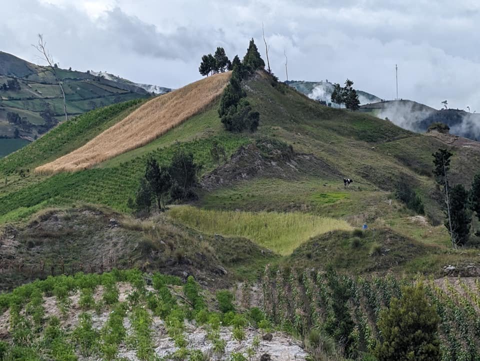
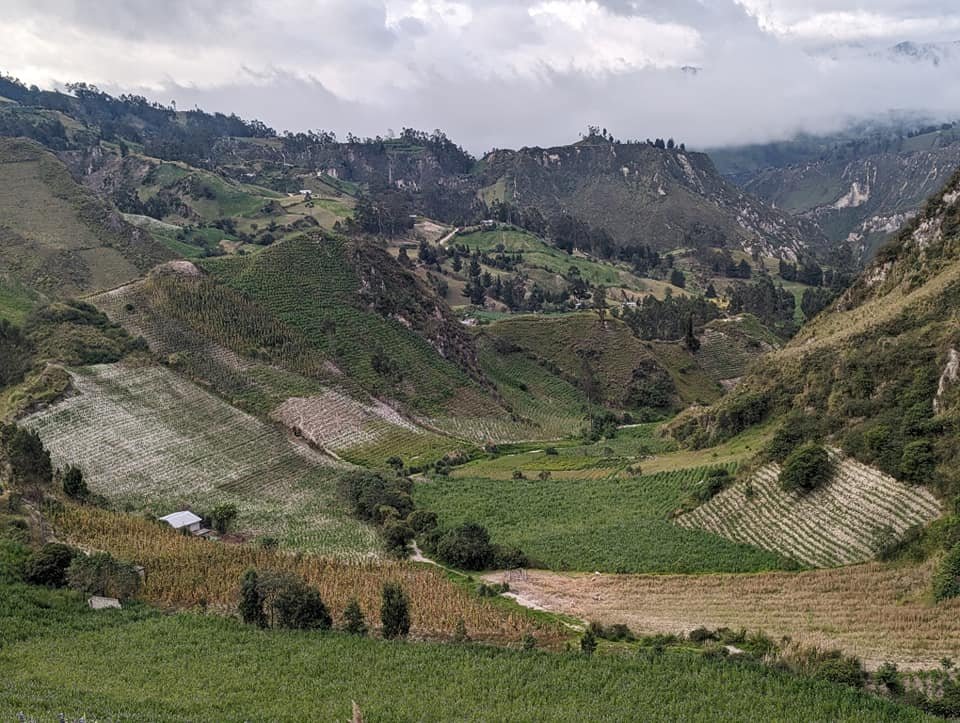
The views were fairly similar every day: lots of green, deep valleys, rivers, and sheep, cows and donkeys on the slopes. After the first day we thought the best views were already behind us, but the next two days pleasantly surprised us. On top of that, we met almost nobody – since the state of emergency was declared in Ecuador, there have been far fewer tourists on the trail than before. Below I describe the route day by day, and at the end I have gathered the practical information: getting there, luggage, accommodation and prices.
Our route:
- 6 June – flight from the Galápagos to Quito and, on the same day, a bus to Latacunga,
- 7 June – bus to Quilotoa, the crater lagoon and the descent to Chugchilán,
- 8 June – from Chugchilán to Isinliví,
- 9 June – from Isinliví to Sigchos and back to Latacunga.
Table of contents
- Quilotoa Loop – route and direction
- Quilotoa Lagoon – a volcano to start with
- Day 1: from Quilotoa to Chugchilán
- Day 2: from Chugchilán to Isinliví
- Day 3: from Isinliví to Sigchos
- Accommodation on the trail – dinner, breakfast and cold nights
- Practical information
- Summary – is it worth it?
Quilotoa Loop – route and direction
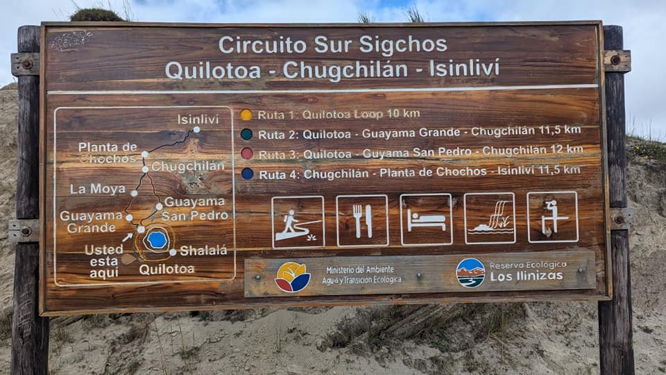
The Quilotoa Loop is a network of trails linking Andean villages around the Quilotoa lagoon. The three-day version we chose goes through Quilotoa, Chugchilán, Isinliví and Sigchos – we spent the nights in the two villages in the middle. On the board by the crater the whole network is called Circuito Sur Sigchos, with the individual sections listed: from Quilotoa to Chugchilán you can descend via Guayama Grande (11.5 km) or via Guayama San Pedro (12 km), and from Chugchilán to Isinliví a trail leads via Planta de Chochos (11.5 km). Watch out for the names: on that board, the “Quilotoa Loop” is only the 10-kilometre loop around the crater.
You can start the trek from either end. If you set off from Sigchos, you save the lagoon for dessert, but you have to walk uphill for most of the route. We started from Quilotoa, the highest point of the whole trek (about 3900 m a.s.l.). Thanks to that we were going downhill most of the time – over almost 40 kilometres we covered about 1500 metres of elevation change.
Quilotoa Lagoon – a volcano to start with
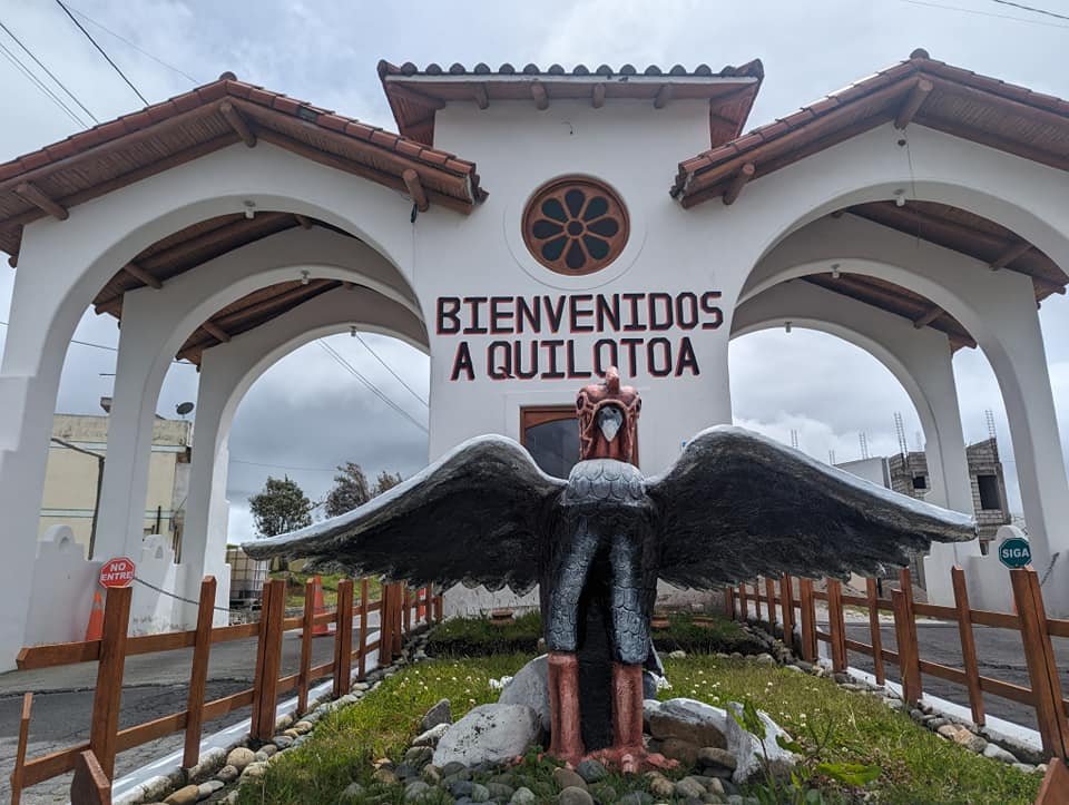
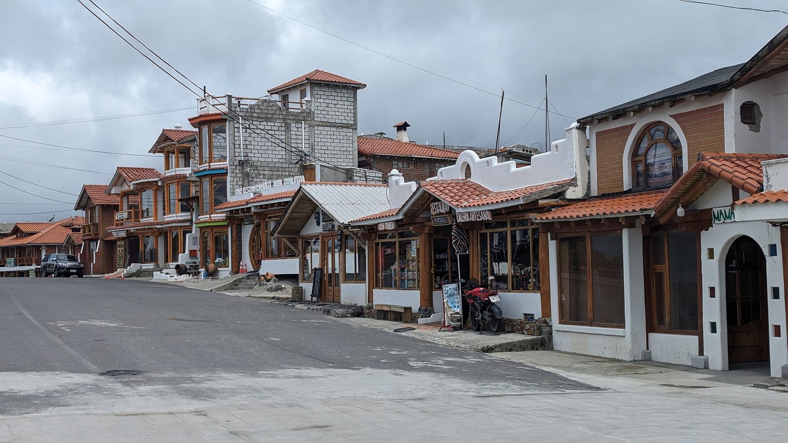
The bus from Latacunga to the village of Quilotoa took about two hours. Visitors are greeted by a gate reading “Bienvenidos a Quilotoa” with a sculpture of a condor, and behind it runs the main street lined with red-roofed houses.
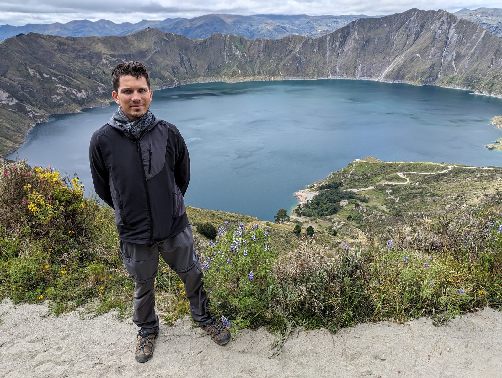
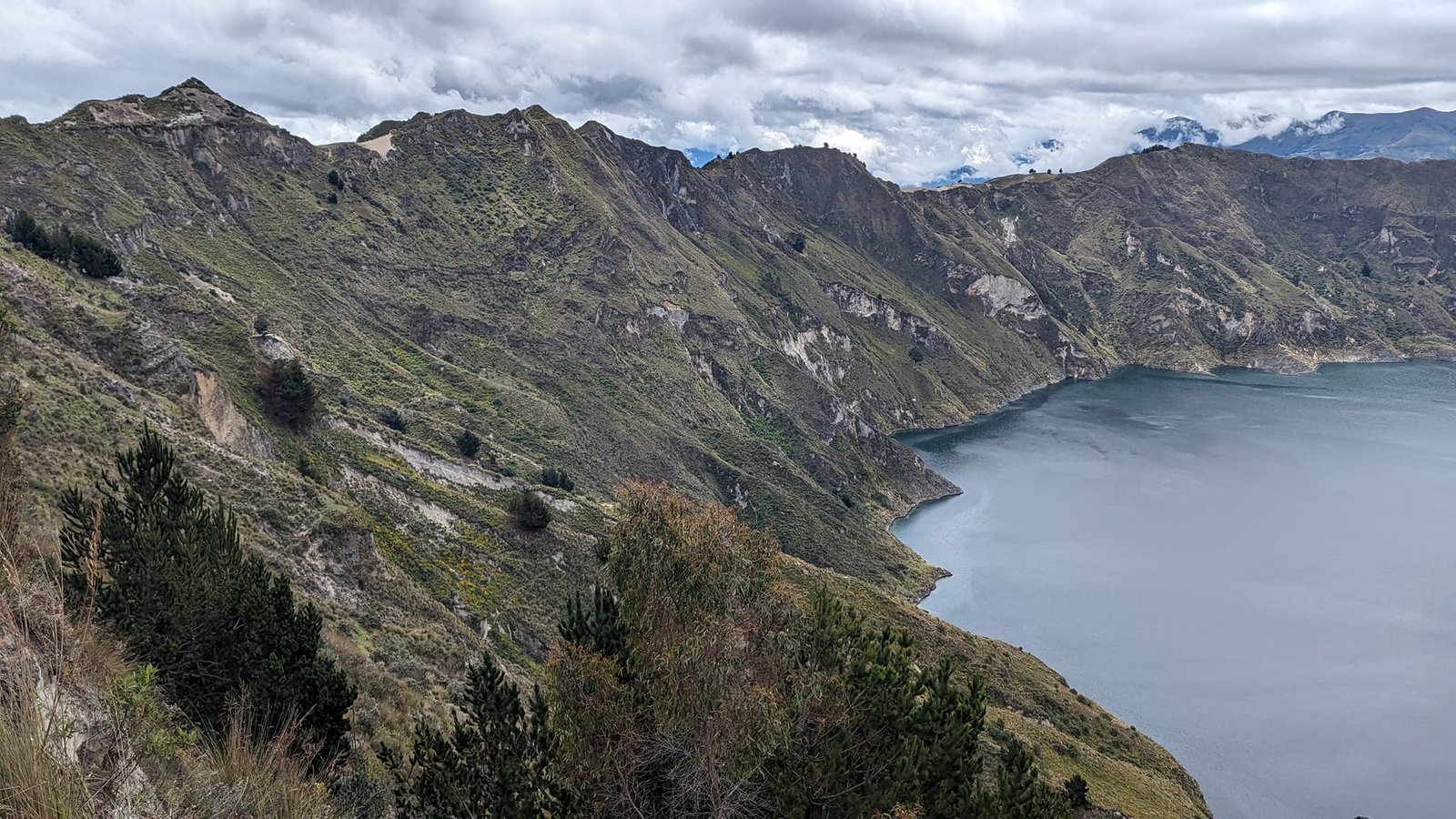
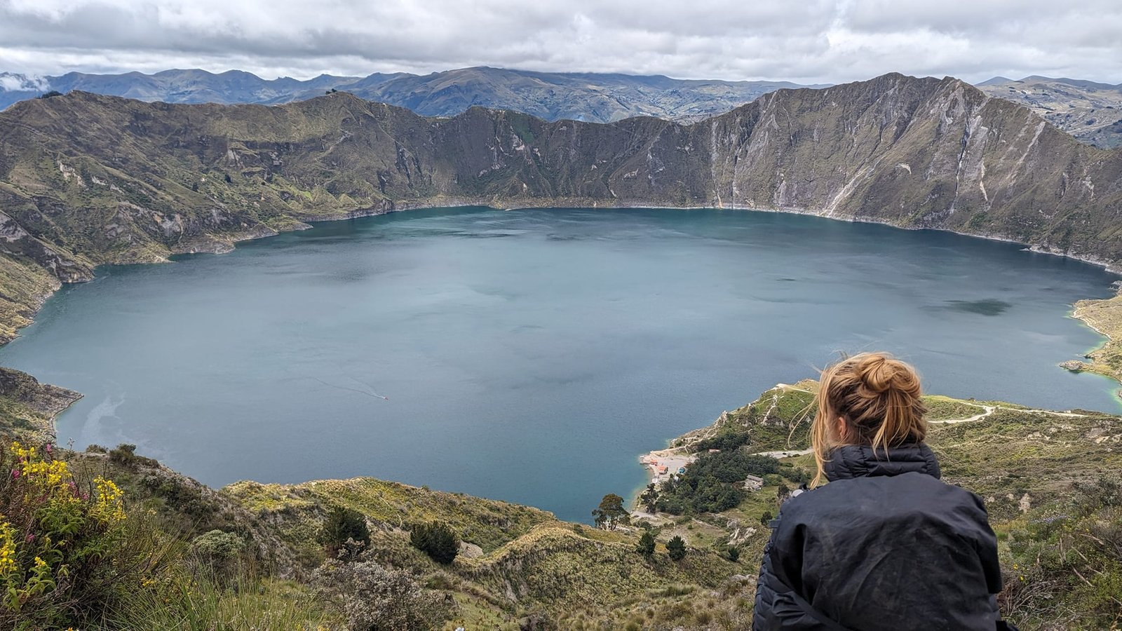
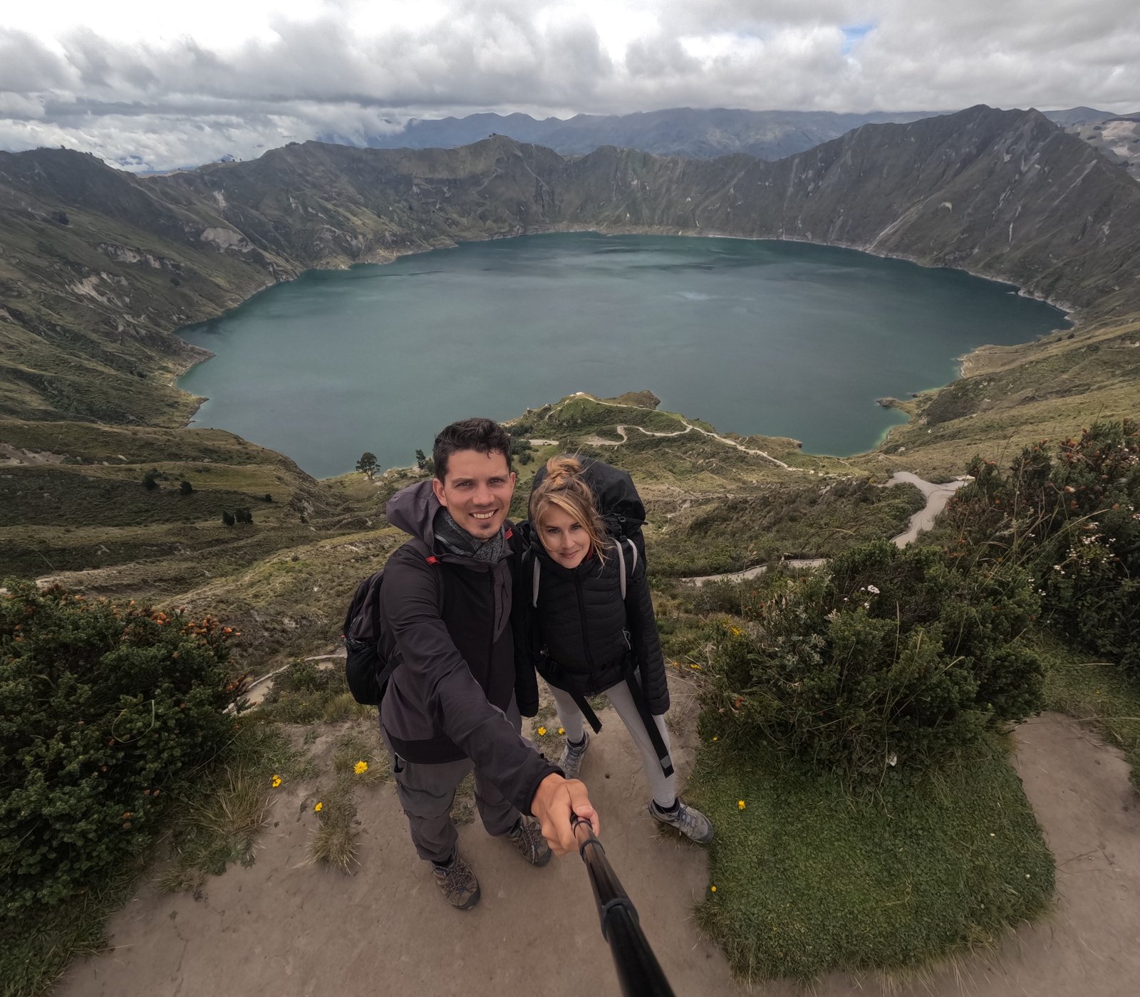
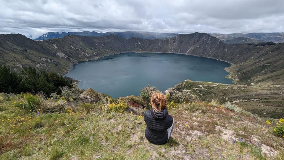
A few minutes from the houses we were standing on the rim of the crater. The lagoon fills the crater of Quilotoa – the westernmost volcano of the Ecuadorian Andes. From the rim, at an altitude of about 3900 metres, you can see the whole lake surrounded by steep walls. It is the best-known spot on the entire route, so before moving on we walked to several viewpoints.
Day 1: from Quilotoa to Chugchilán
We set off on the trail around noon. First we walked along the ridge following the rim of the crater, with the lagoon on one side and green valleys on the other, and then the long descent began.
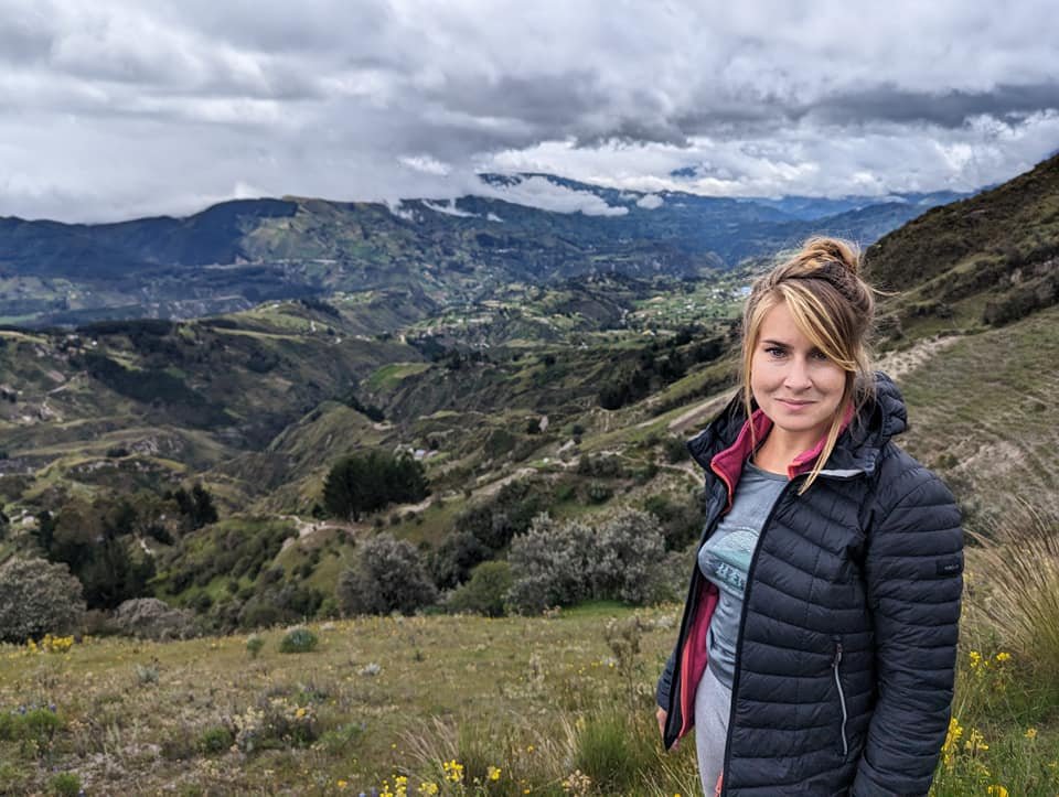
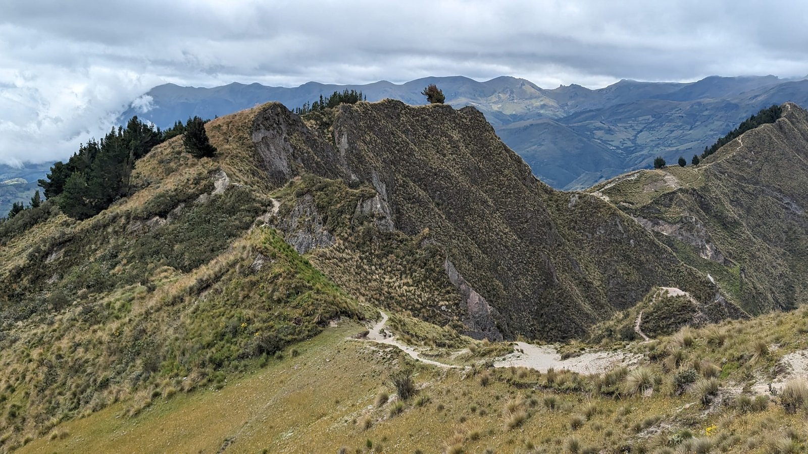
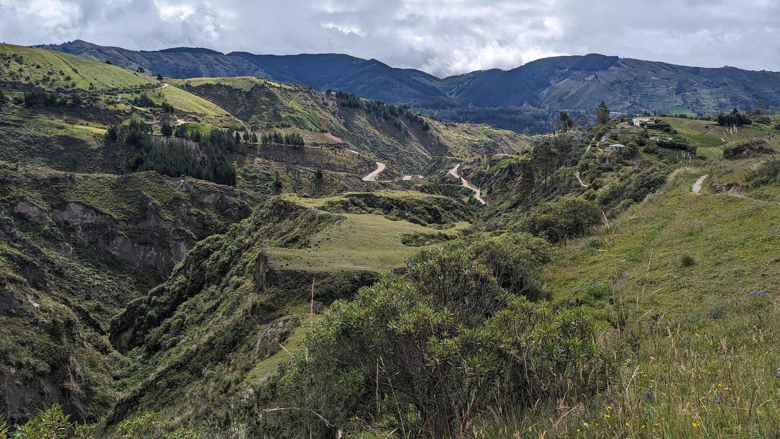
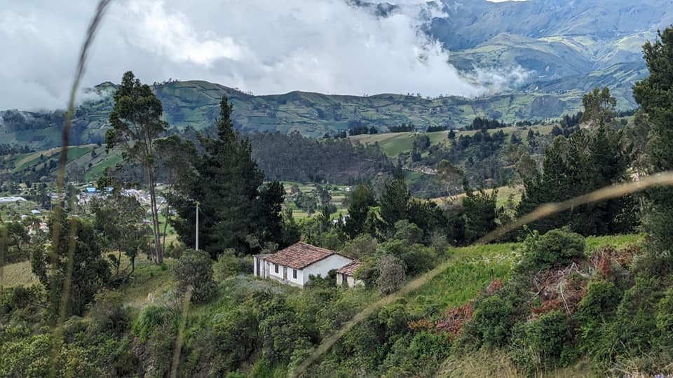
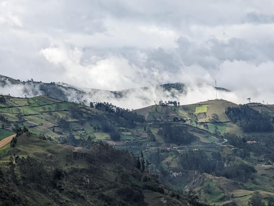
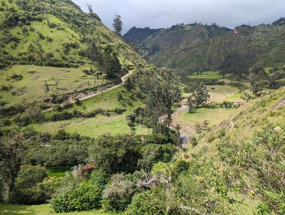
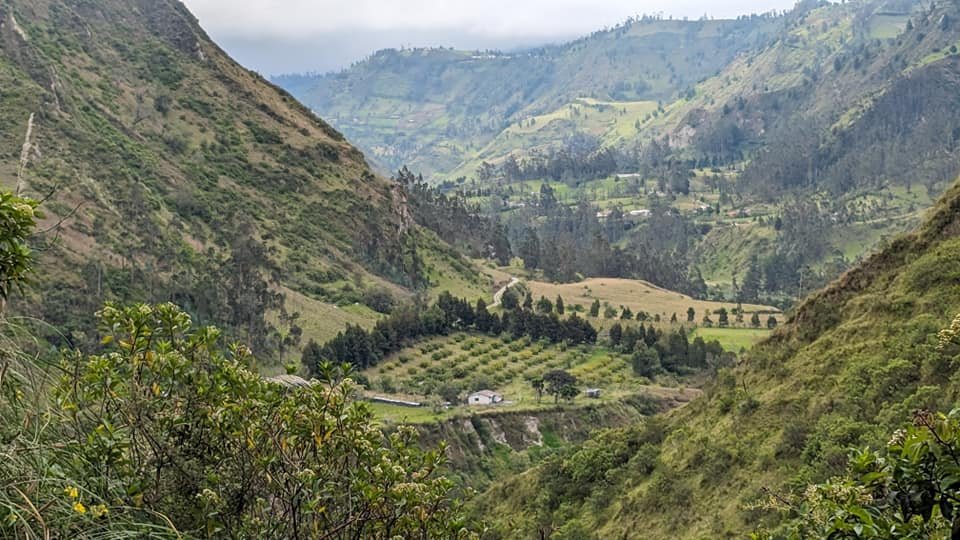
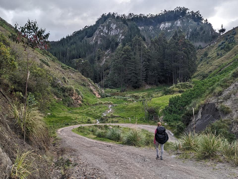
The landscape changed quickly. Instead of the crater, we now had fields on steep slopes in front of us, scattered farmsteads, dirt roads winding in switchbacks and ever deeper gorges. Clouds kept covering and uncovering the surrounding peaks.
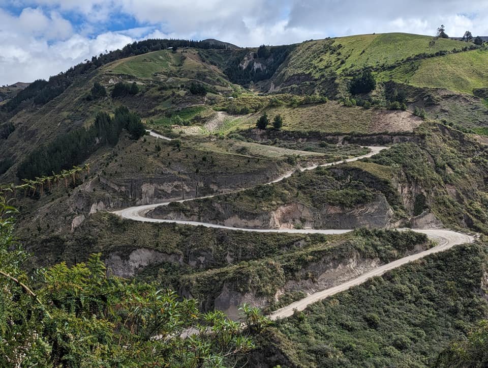
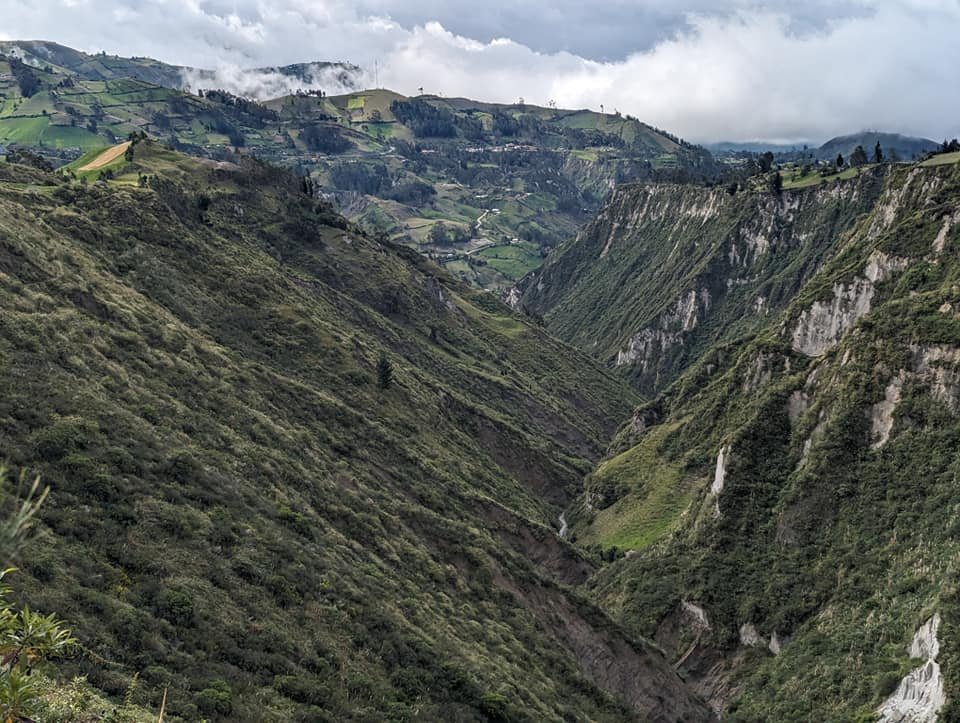
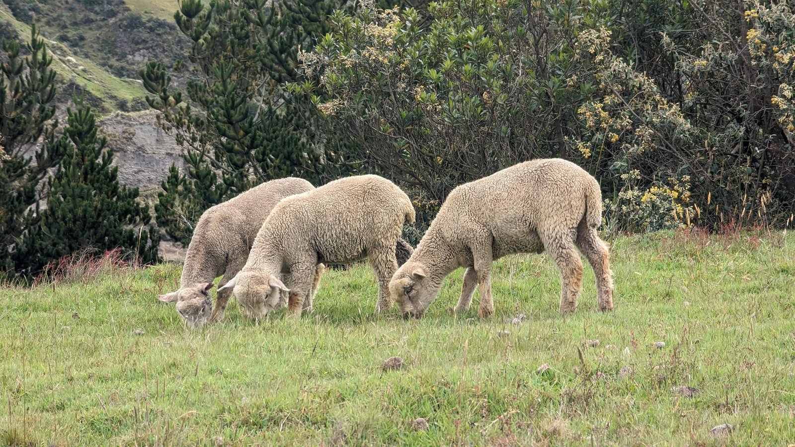
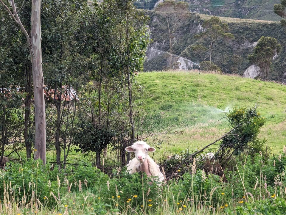
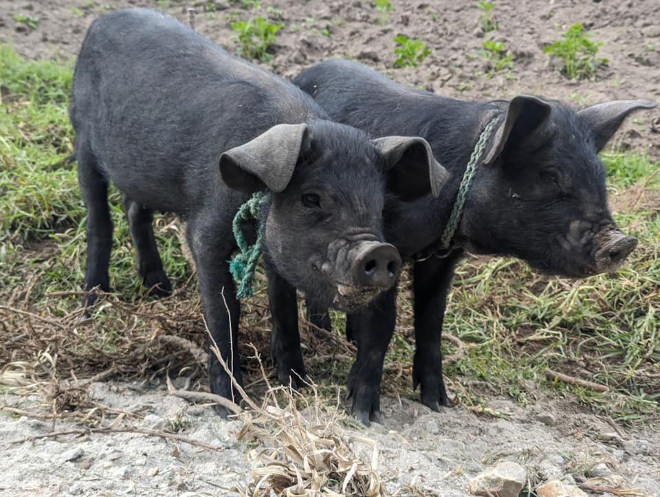
We passed animals more often than people: sheep, cows, donkeys and pigs, and at one of the farms two black piglets tied up on strings.
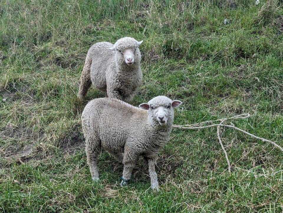
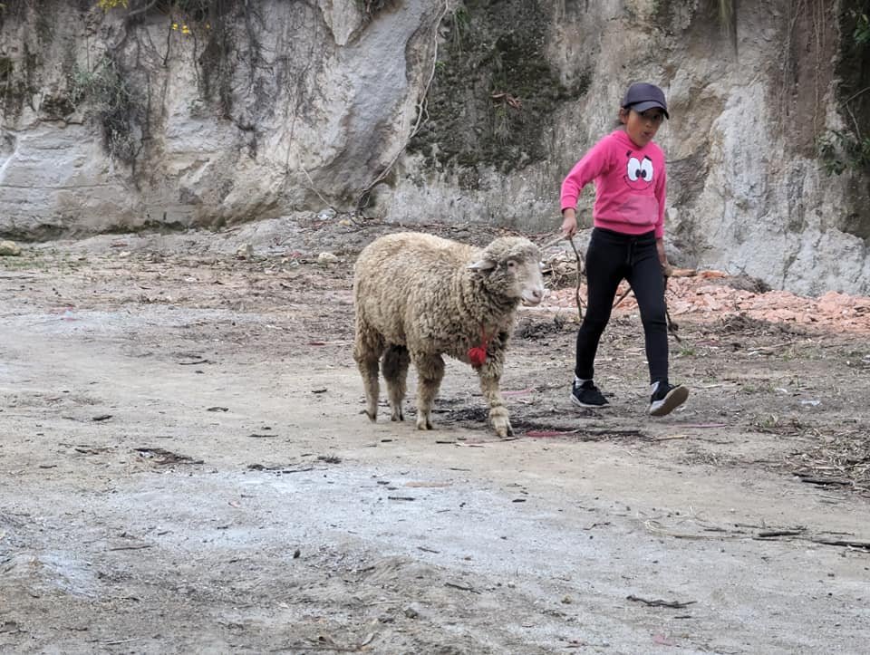
The last stretch followed a wide road along the valley floor, beneath rock walls. We reached Chugchilán towards evening, and one of the last encounters of the day was a little girl leading a sheep on a string.
Day 2: from Chugchilán to Isinliví
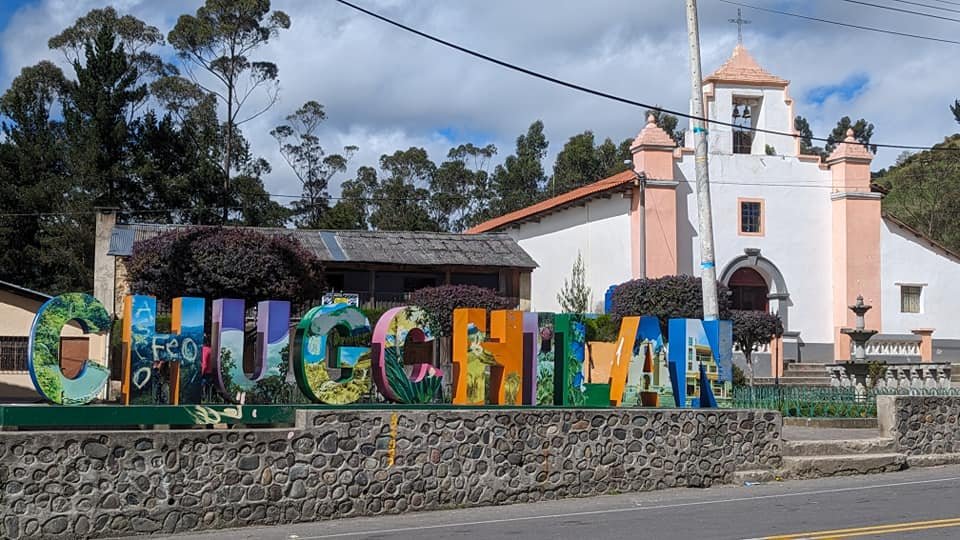
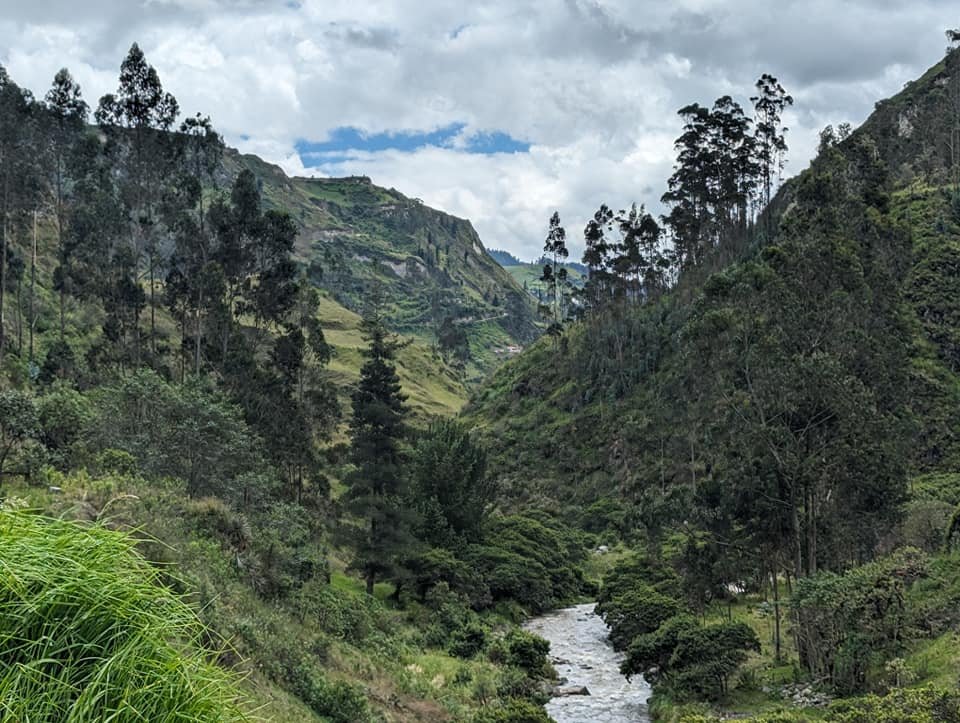
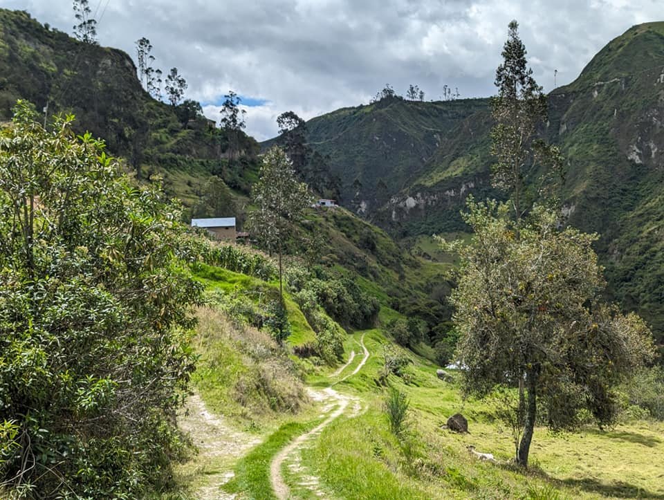
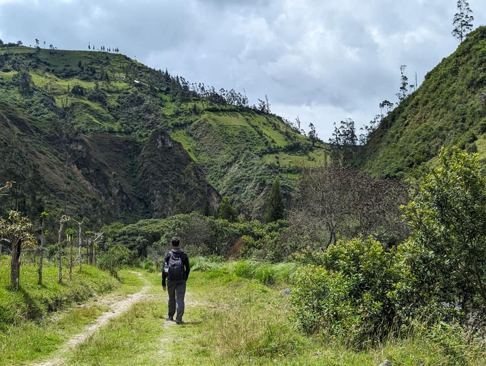
In the morning, after breakfast at the hostel, we walked through the centre of Chugchilán, past the colourful sign with the village’s name and the white church, and carried on. The second stage (about 11.5 km according to the board by the crater) really impressed us: the trail went down steep slopes into a deep canyon and then followed the river valley.
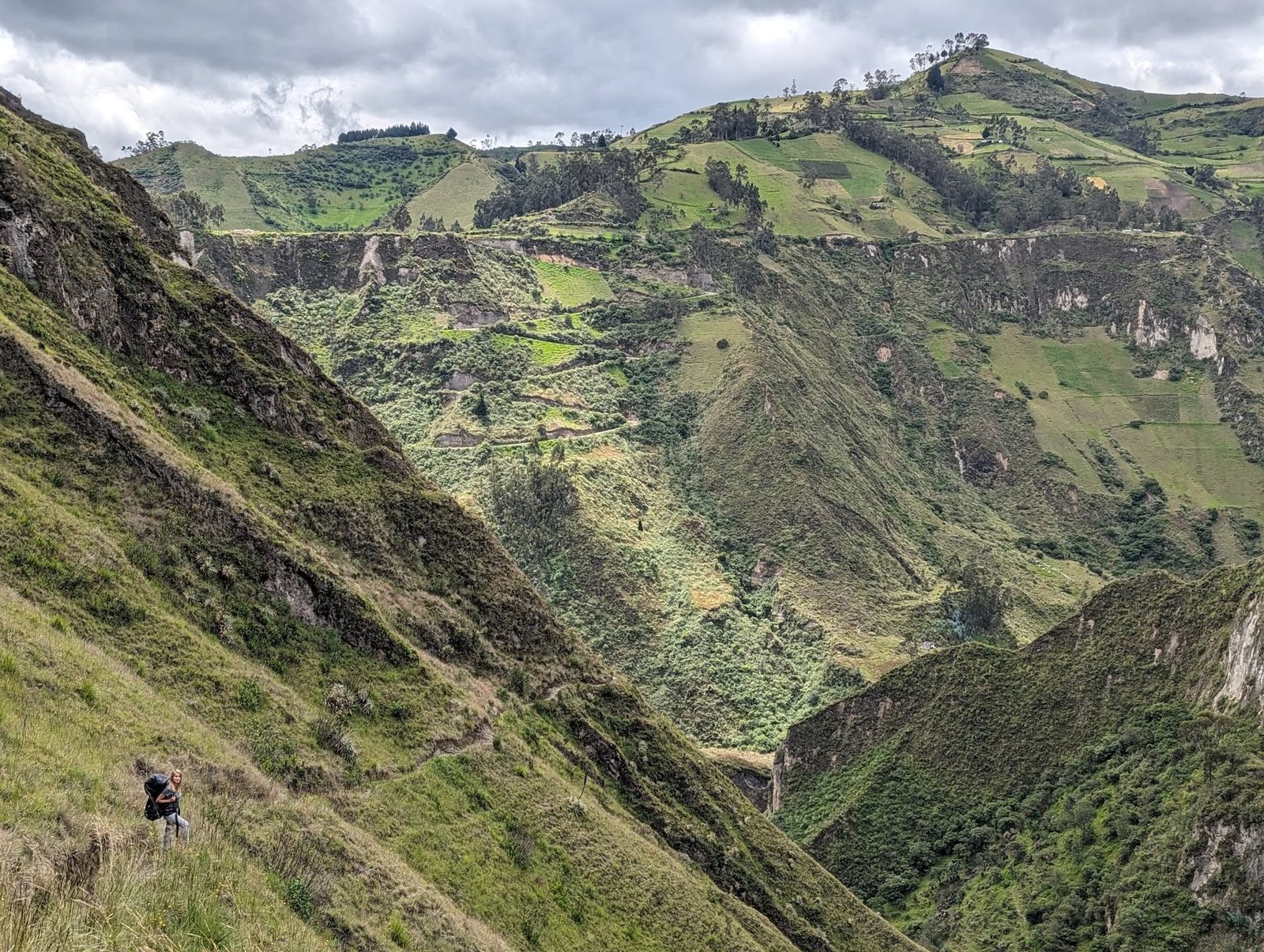
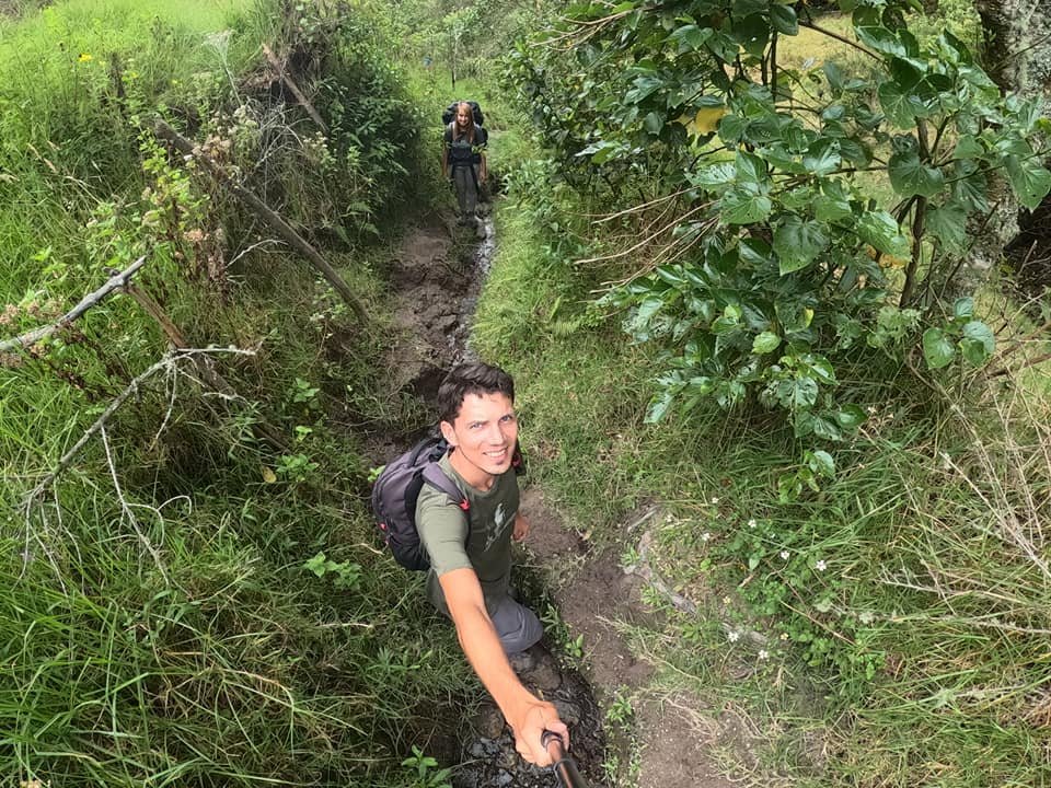
In places the path was narrow and steep, and at one point it ran through a deep, eroded gully barely wide enough for one person.
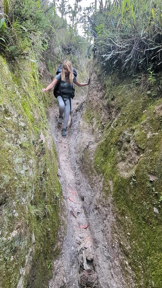
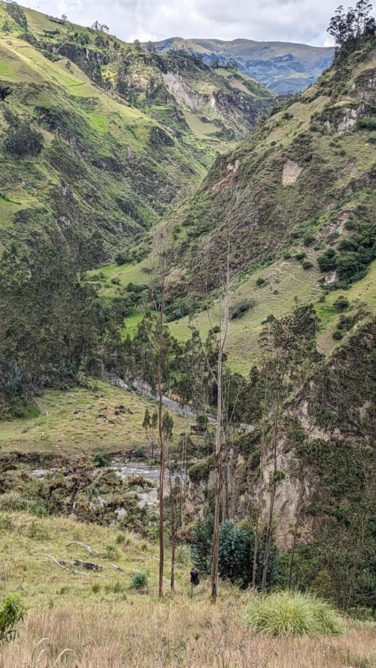
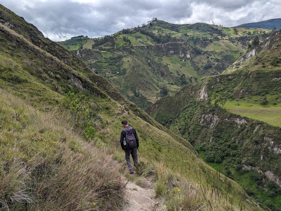
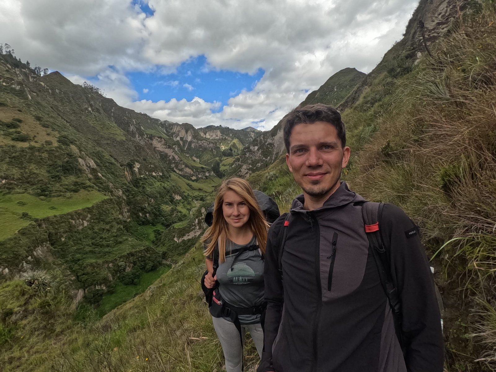
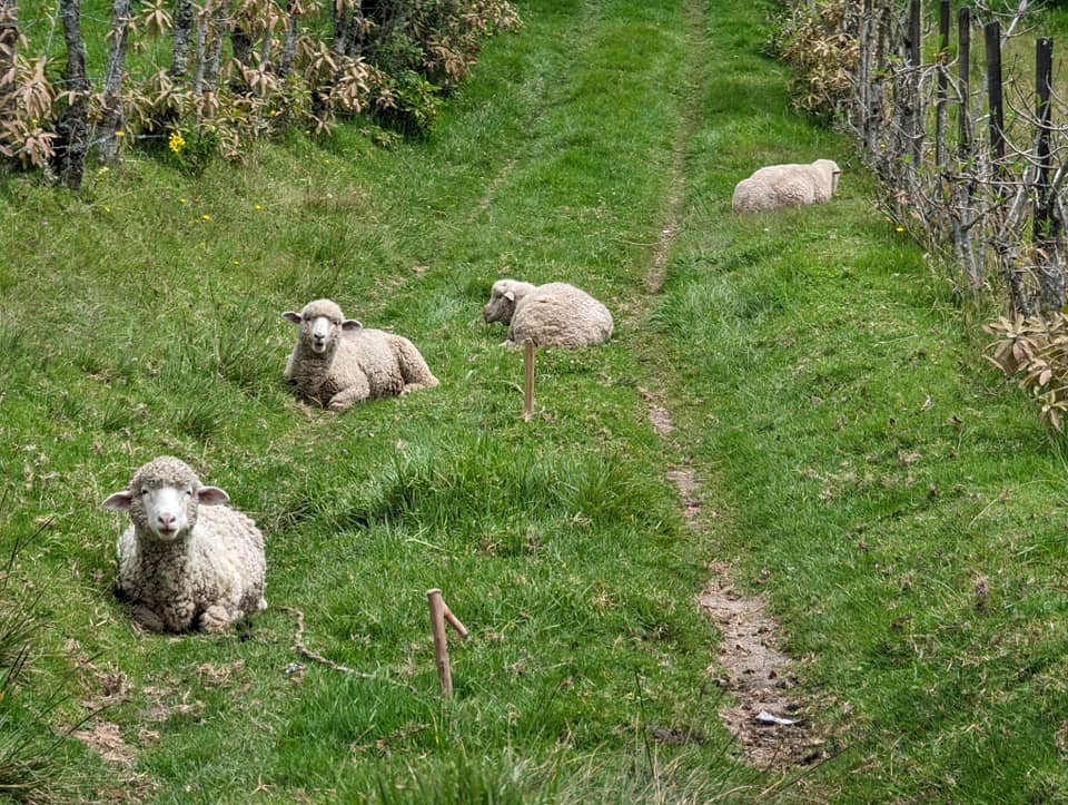
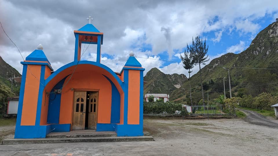
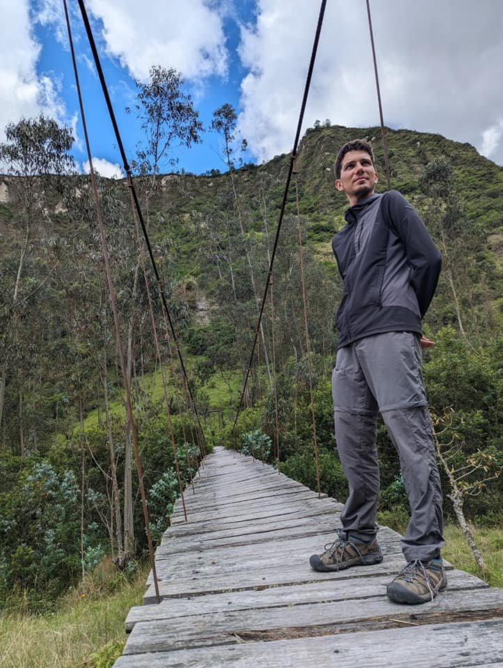
A river flows along the bottom of the valley, and we walked beside it for quite a while. On the way we passed a small orange-and-blue chapel in one of the hamlets, flocks of sheep lazing on the path and a wooden suspension bridge.
We reached Isinliví in the afternoon. It is a small village with fewer places to stay than Chugchilán – more about that below.
Day 3: from Isinliví to Sigchos
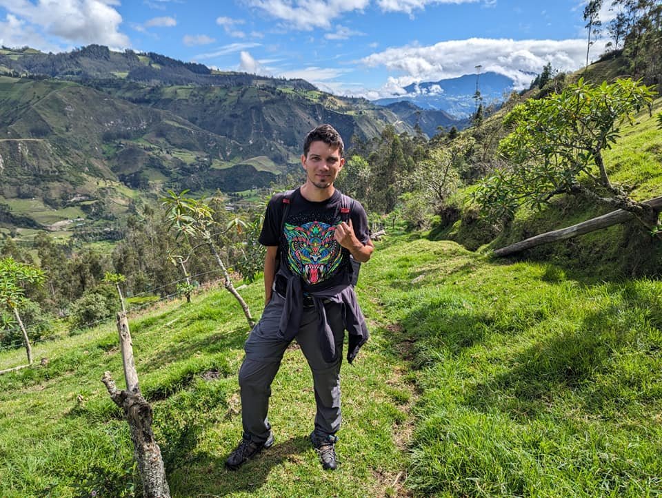
The last stage led from Isinliví to the small town of Sigchos, where the trail ends. Once again everything was green, and the sheep and donkeys in the meadows let us get quite close.
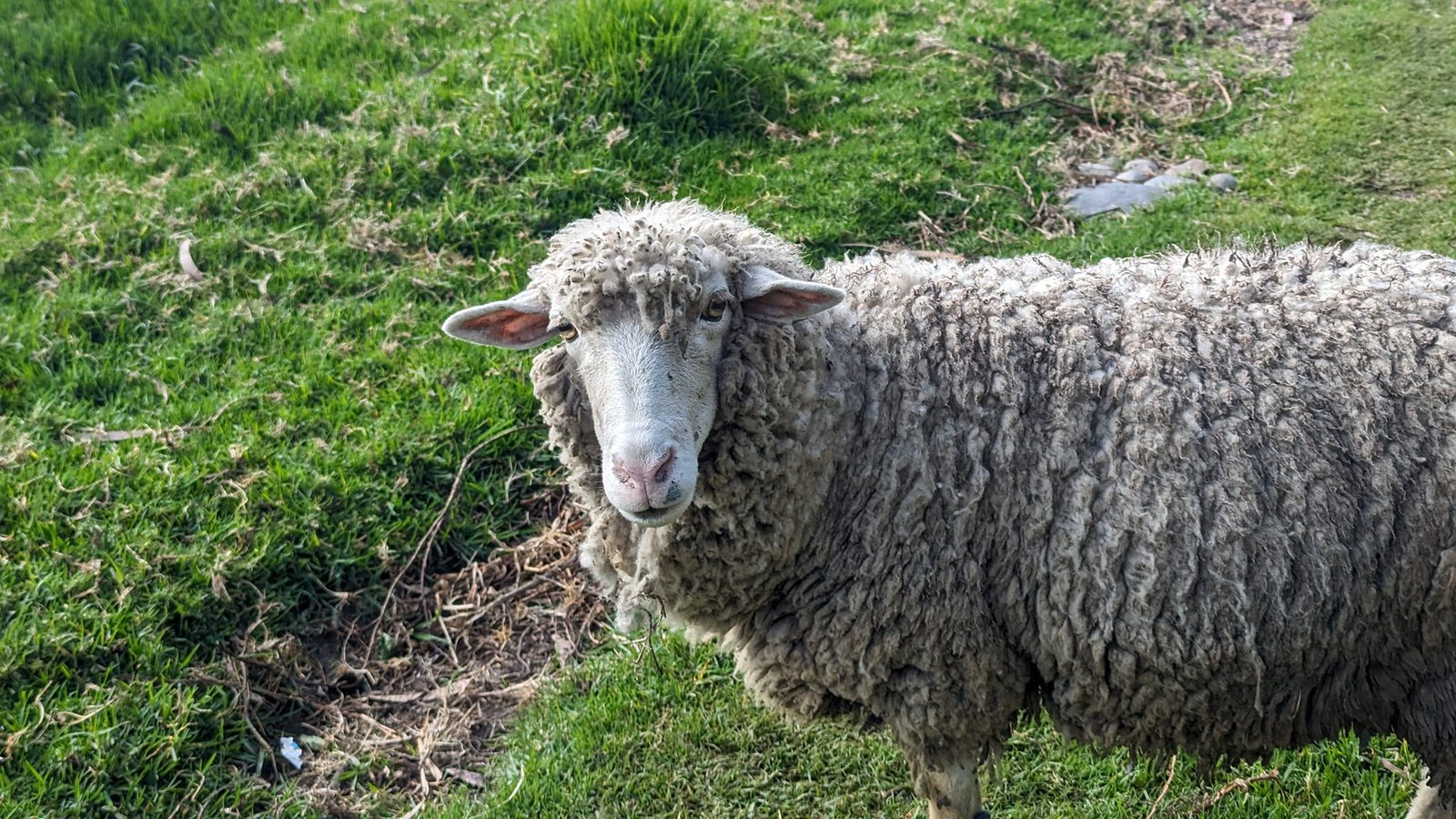
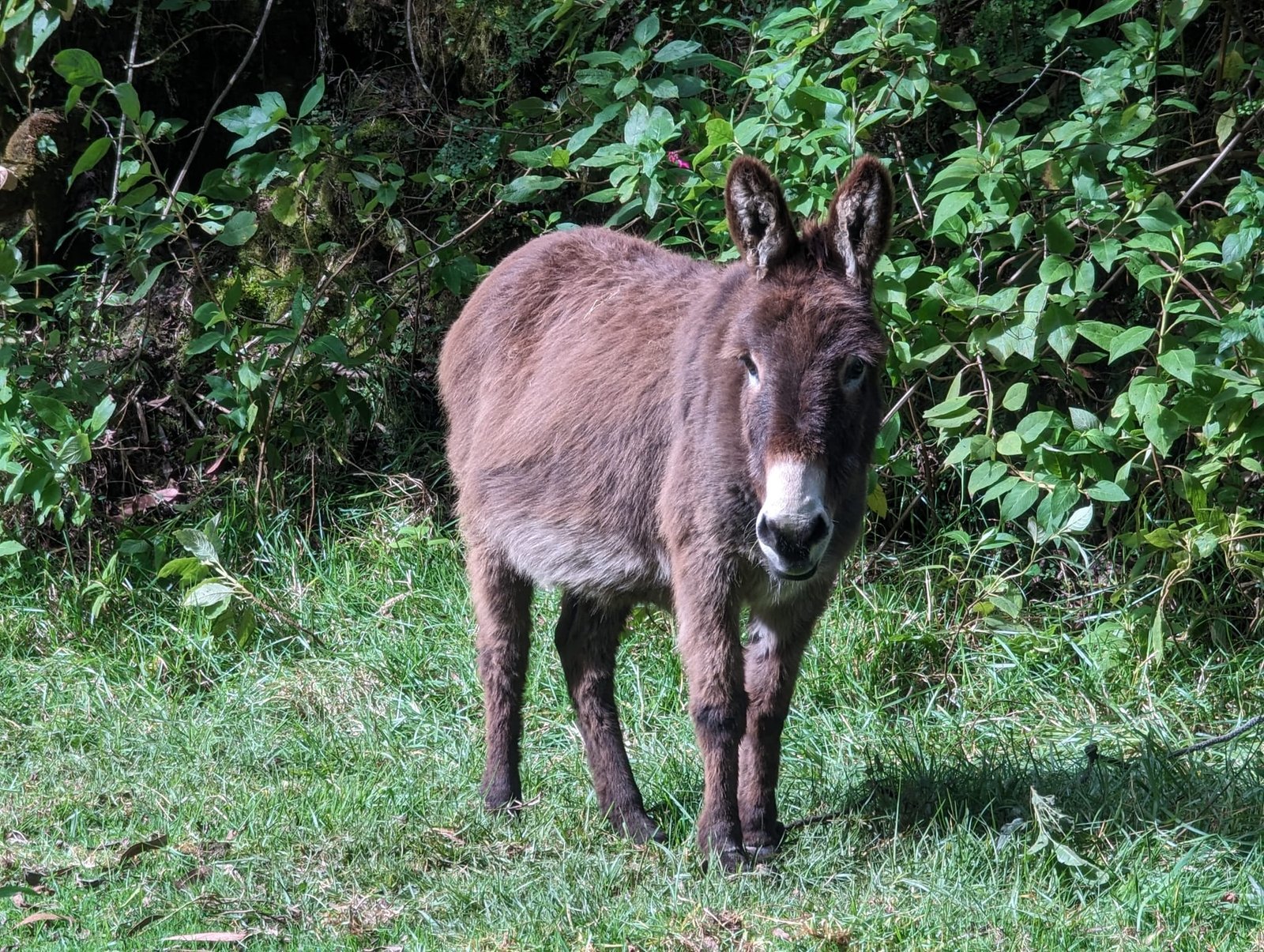
On the third day we had the best weather: the sun was shining over the valley, and the clouds clung to the high peaks on the horizon. We passed more villages with red roofs, fields and pastures.
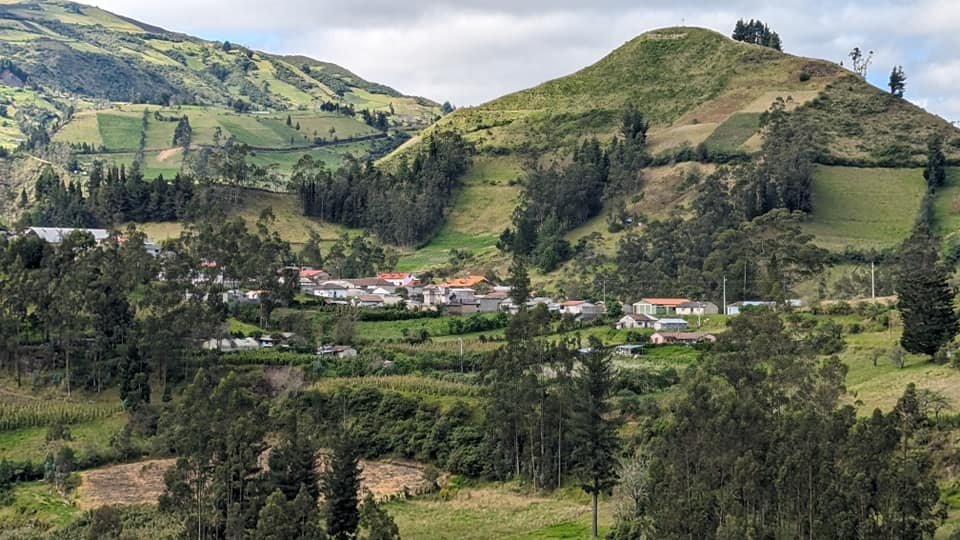
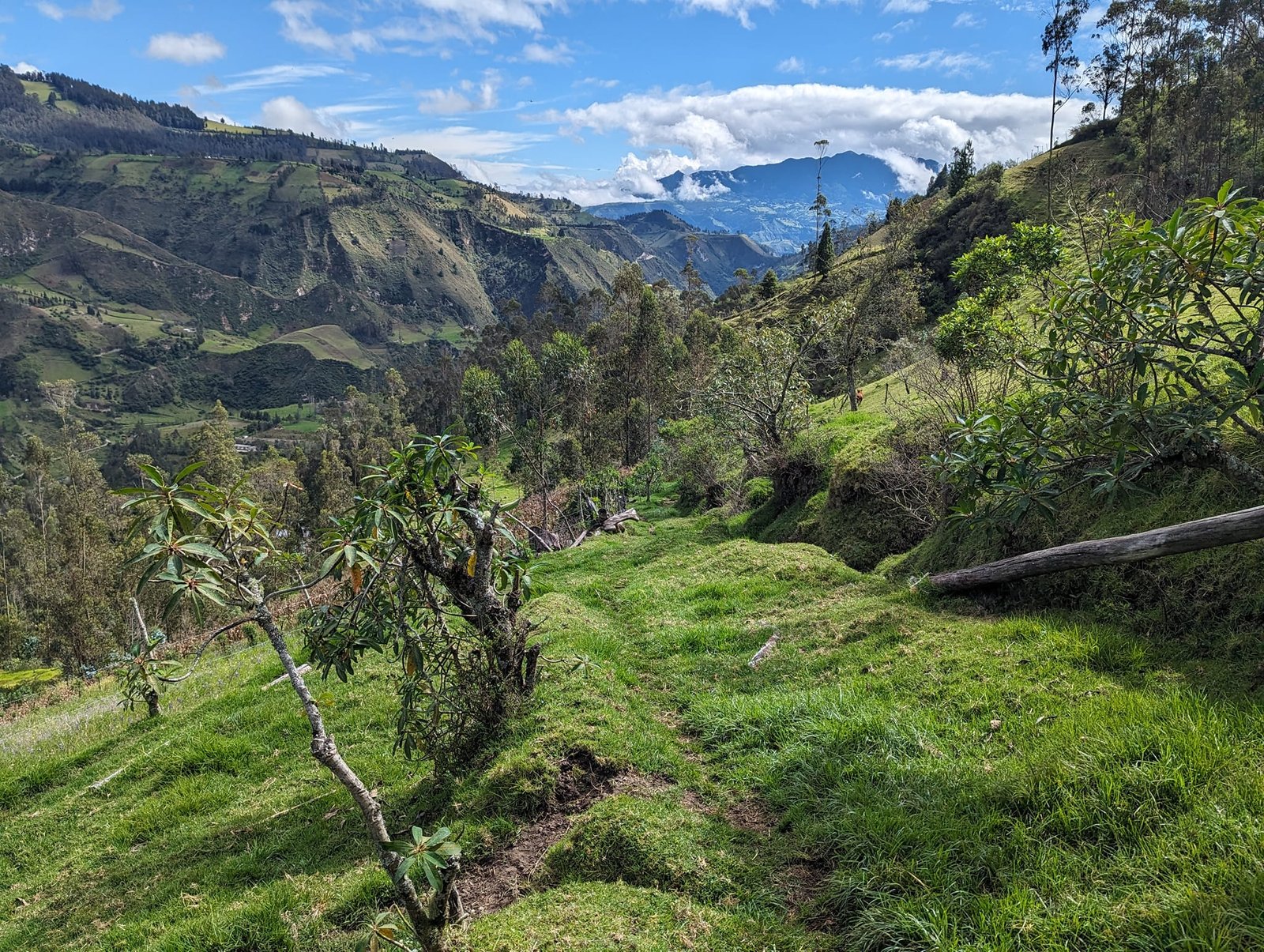
From Sigchos we went back to Latacunga to pick up our big backpacks. On the way back we had another chance to see Cotopaxi – one of Ecuador’s best-known volcanoes – but this time, too, it hid in the clouds. We only wanted to see this volcano from afar – if we had had more time, we might have been tempted to climb it or Chimborazo.
Accommodation on the trail – dinner, breakfast and cold nights
There is quite a lot of accommodation along the route – except perhaps in Isinliví, where we spent the second night. The nice thing is that most hostels include dinner and breakfast in the price, so after a whole day of walking all you have to do is sit down at the table.
We highly recommend Hostal Backpackers in Chugchilán (23 USD, our first night): lovely hosts and big portions of food. It was from them that we heard that since the state of emergency was declared in Ecuador (in January 2024), the number of tourists on the trail had dropped drastically, and the hostels were losing a lot because of it. We can confirm it – in three days we met almost nobody. Better for us, worse for the local business owners.
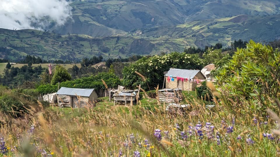
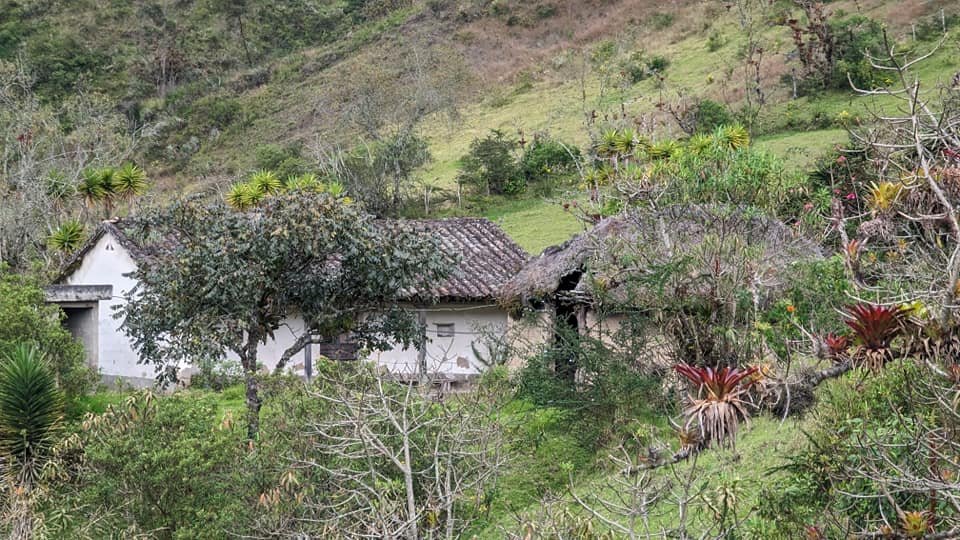
The downside is the temperature in the rooms. Nights in these mountains are cold, the buildings are not of the best quality and, of course, have no heating. Seeing the conditions some families live in, we wondered how they manage.
Practical information
The key information in a nutshell (as of June 2024):
- Direction: from Sigchos to Quilotoa or the other way round. If you start from Quilotoa (about 3900 m a.s.l.), you walk downhill for most of the route.
- Length: for us almost 40 km in three days and about 1500 m of elevation change. Sections according to the board by the crater: Quilotoa – Chugchilán 11.5 km (via Guayama Grande) or 12 km (via Guayama San Pedro), Chugchilán – Isinliví 11.5 km.
- Getting there: from Quito to Latacunga, and from there about 2 hours by bus to Quilotoa. From Sigchos you return to Latacunga.
- Luggage: we left our big backpacks in storage in Latacunga, where we spent the night before the trek, and walked light, with small daypacks.
- Accommodation: there is plenty of choice in Chugchilán and less in Isinliví; most places include dinner and breakfast. Hostal Backpackers in Chugchilán – 23 USD.
- What to bring: warm clothes for the night, because the rooms have no heating.
- Tourists: after the state of emergency was declared in 2024, there were very few people on the trail.
Summary – is it worth it?
Definitely worth it. In our version, the Quilotoa Loop starts at its most beautiful spot – the crater lagoon – but the next two days were no worse at all: green valleys, rivers, canyons and small villages, plus an almost empty trail. We especially recommend starting from Quilotoa to those who prefer walking downhill to climbing. Just be prepared for cold nights.
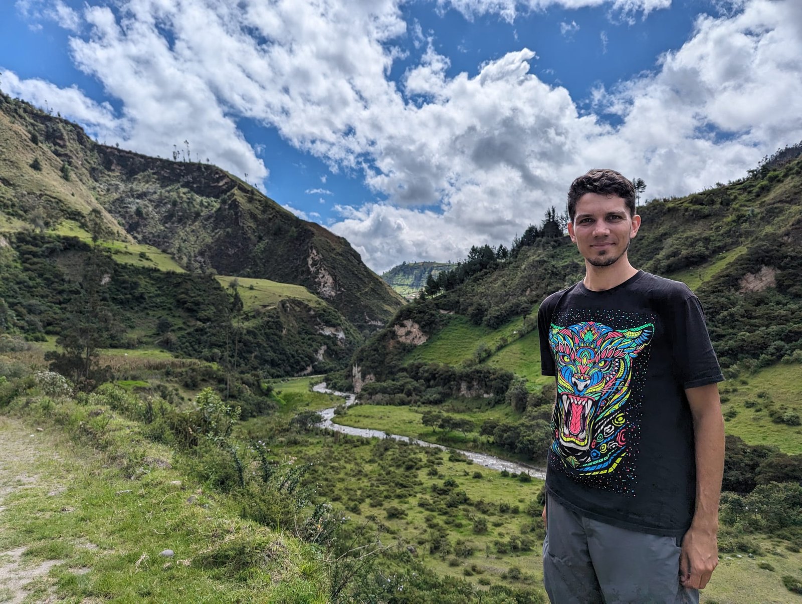
Photo gallery