After more than a week at Lake Atitlán, on 5 February 2024 we arrived in Quetzaltenango, which everyone simply calls Xela. This mountain city in western Guatemala, overlooked by the Santa María volcano, was our base for ten days. From here we climbed volcanoes, but Quetzaltenango and its surroundings are also places where you can experience Maya culture up close. On the sacred hill of Cerro Quemado and at the Chicabal lagoon in a volcanic crater, Guatemalans lay flowers, pray – sometimes very emotionally – sing and perform rituals. We felt as if we had gone back in time.
Table of contents
- Xela – by chicken bus to the city below the volcano
- Cerro Quemado – the sacred hill of the Maya
- Prayers and singing – on Sundays and weekdays
- Flags, altars and a lava field at the top
- Laguna Chicabal – a lake in a volcanic crater
- Flowers and altars on the shore of the lagoon
- Practical information
Xela – by chicken bus to the city below the volcano
From San Pedro La Laguna on Lake Atitlán we went to Xela by chicken bus – a converted old American school bus. It was our first ride on one of these buses, and an eventful one right from the start. The road climbs the whole way, and if it had not been for a lorry that seemed to have broken down on the way, it would have gone smoothly. The driver’s assistant walked on the roof while the bus was moving – unfortunately there was no way to film it. An unforgettable experience, although we think we still prefer shuttles. We reached Quetzaltenango in the evening.
Accommodation here was the cheapest in the whole of Guatemala – we paid just under 50 Q a night for a double room, while the most expensive was in Antigua. In our free time we strolled around the centre, including a park with a round colonnade, and around a cemetery with colourful burial niches.
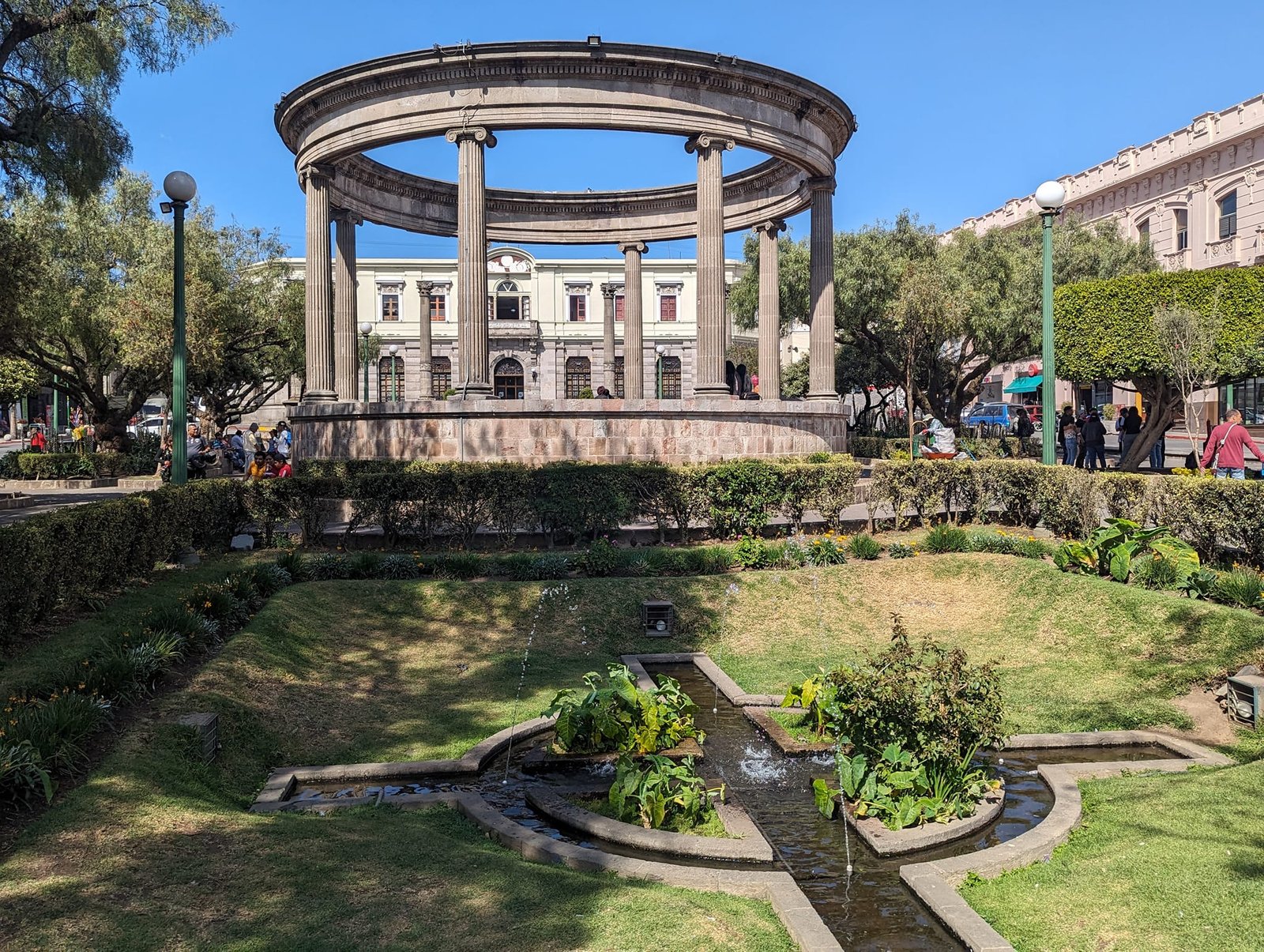
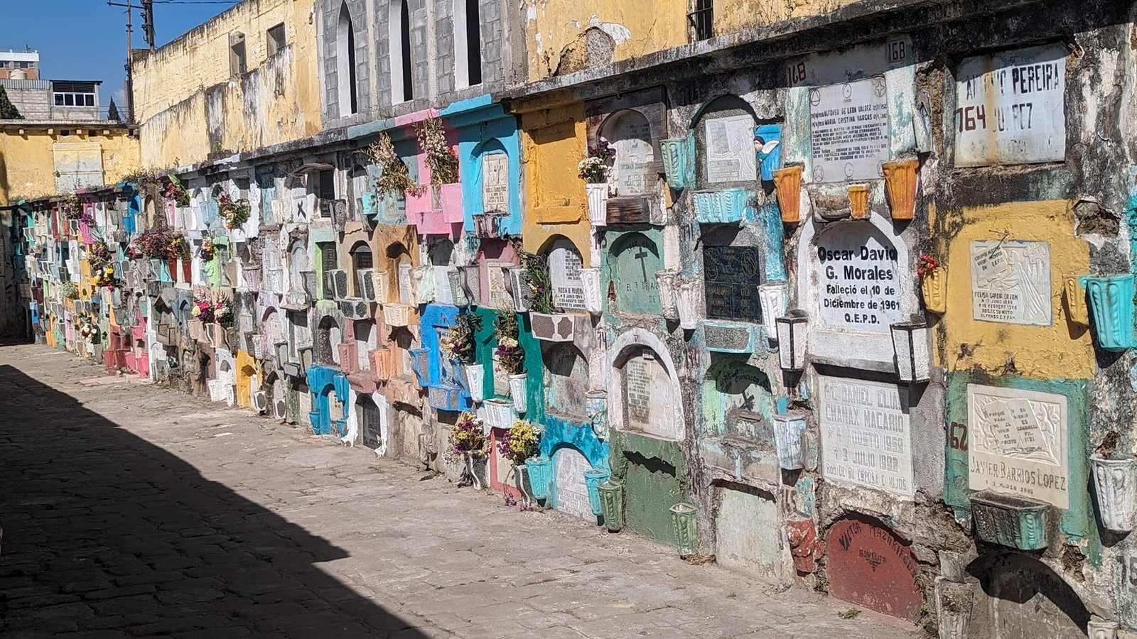
Unfortunately we have no photos from our first days in Xela – they were lost together with other photos from the phone from early February. The day after we arrived we went up Cerro el Baúl, a hill with a viewpoint over the city. On 10 February we took a tour to the hot springs. We went to Aguas Amargas (Fuentes Georginas are more popular): there are two outdoor pools – one with warmer water, the other cooler – and lots of smaller indoor pools. We paid 25 Q to get in.
The Santa María volcano (3772 m) towering over the city is, in our opinion, the volcano with the most beautiful views from the top. We climbed it twice, and from Xela we also went to Tajumulco (4220 m), the highest peak in Central America. I describe both climbs in the post Santa María and Tajumulco, and I have gathered all the volcanoes we climbed in Guatemala in the post Volcanoes of Guatemala.
Cerro Quemado – the sacred hill of the Maya
Cerro Quemado, or the “Burnt Hill”, is a volcanic hill a few kilometres from the centre of Quetzaltenango. When you are in Xela you cannot miss it, because it is the very heart of the beliefs and culture of the Maya. They believe that volcanoes are among the best places to get closer to God. People here talk not only to God but also to their ancestors, because according to their beliefs spirits may live on the hill. That is why every day many Guatemalans come here – both from the surrounding area and from different parts of the country – to pray and perform rituals.
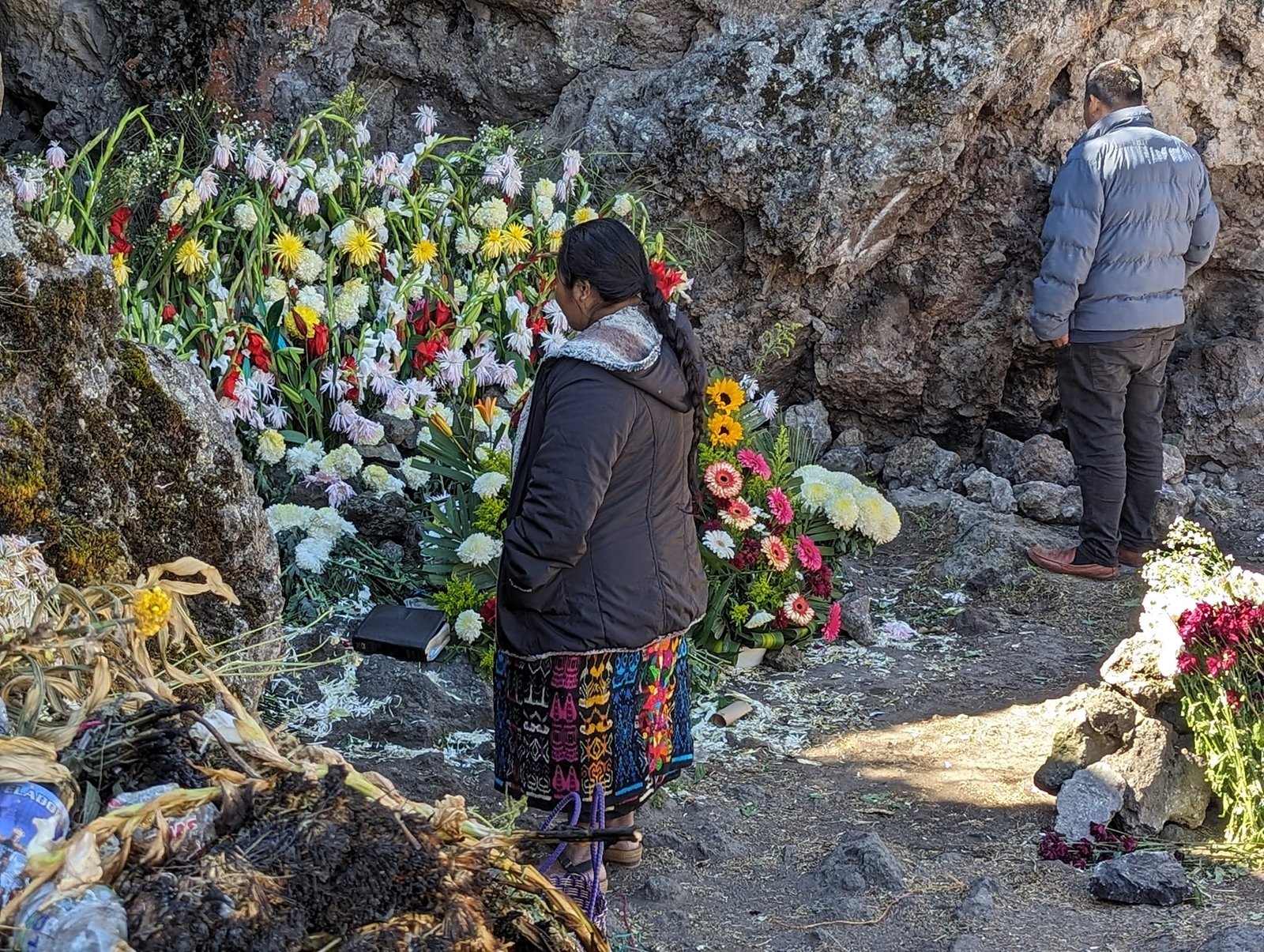
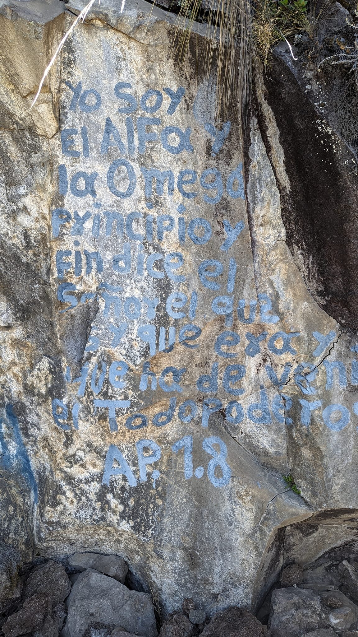
Surprising as it may sound, the rituals today are mainly Christian. The Maya once believed in many gods and made offerings to them, and among the most precious offerings were human ones. Today Guatemalans are Christians, but the influence of the Maya religion is still clearly visible here. Bible quotations have been painted on the rocks – such as “I am the Alpha and the Omega” from the Book of Revelation – along with slogans about Jesus and, here and there, the days on which prayer groups meet.
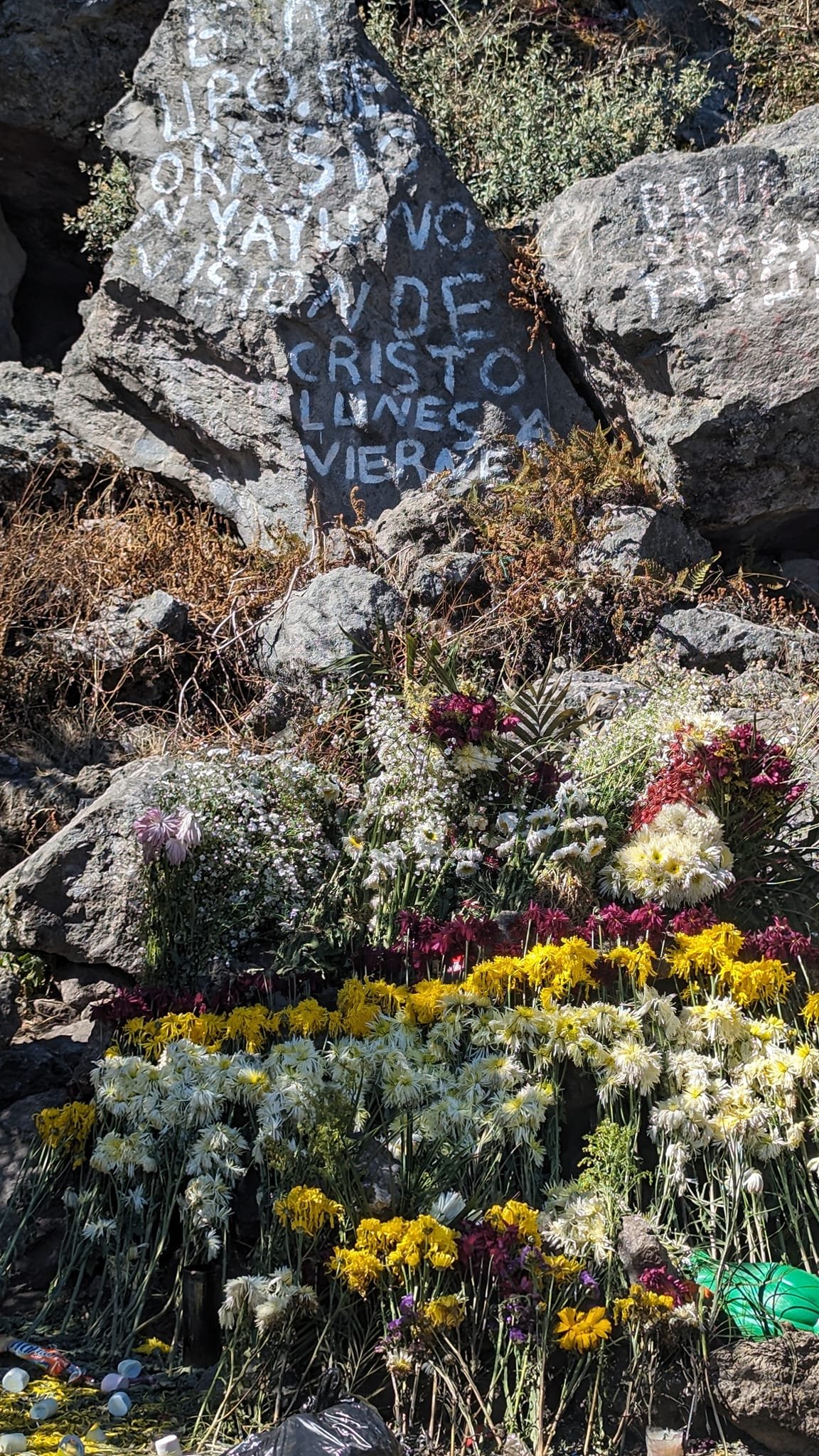
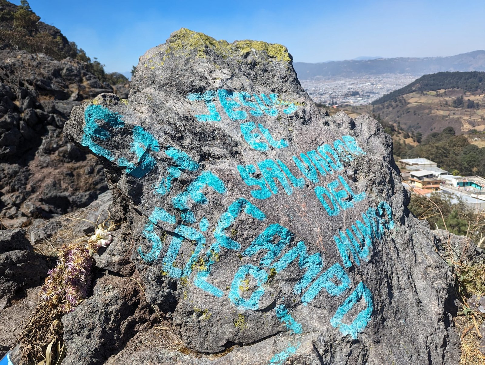
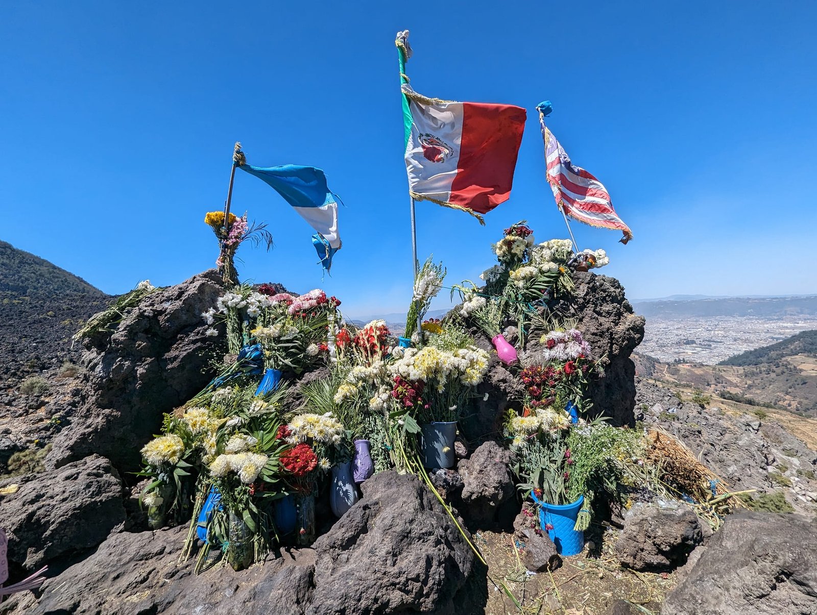
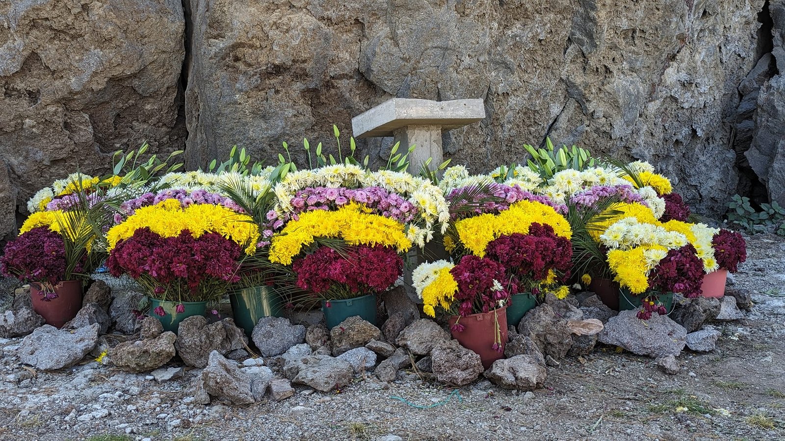
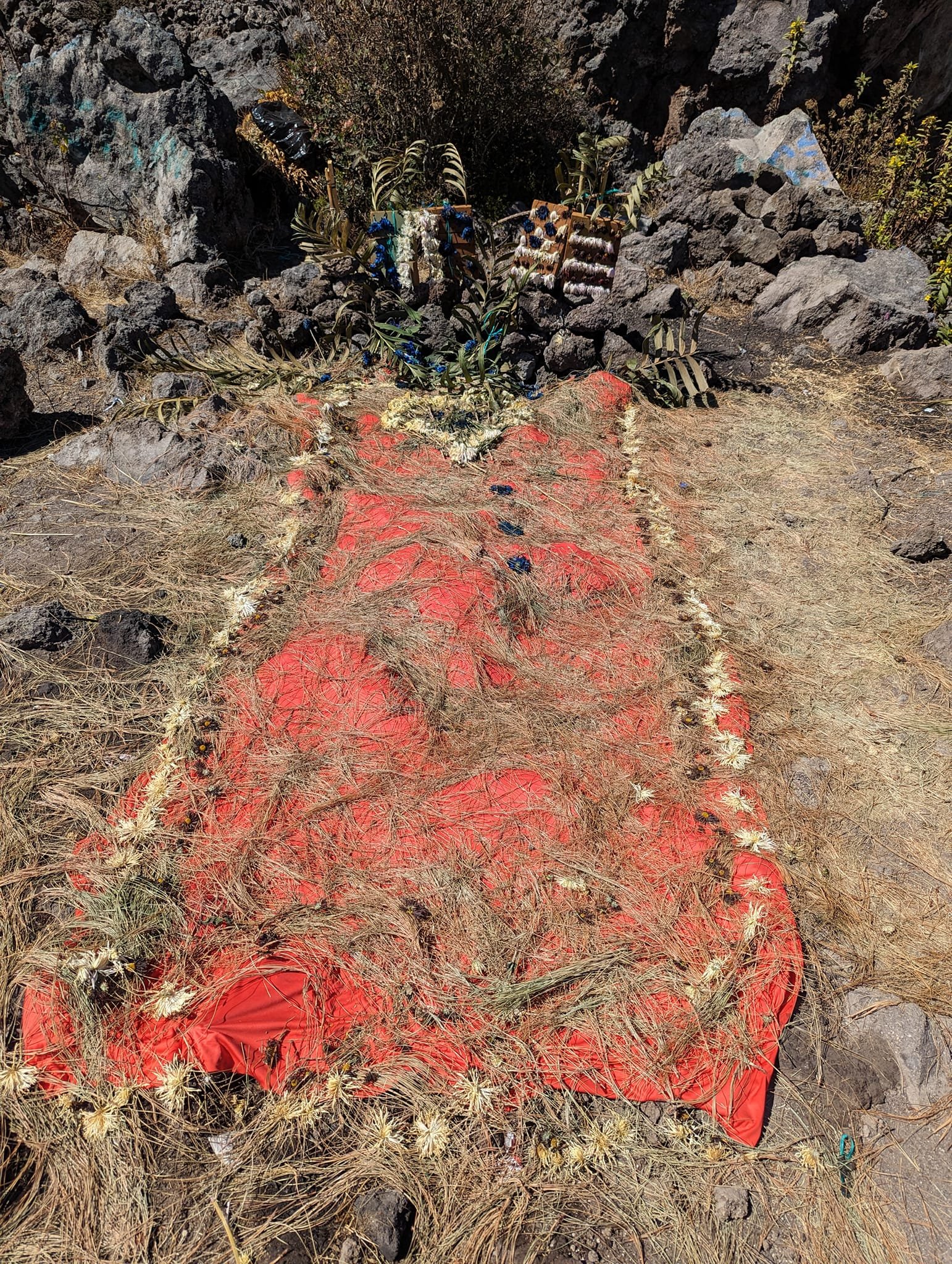
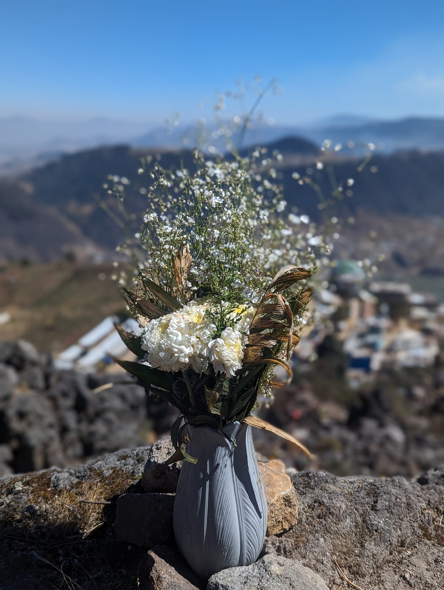
Today people leave flowers as offerings, and sometimes also food and drinks. The whole hill was covered with them – next to some of the rocks there were whole buckets of chrysanthemums and lilies.
This is not a tourist spot – among hundreds of Guatemalans we saw only a few foreigners. We, however, wanted to get closer to the local culture. It is worth remembering that this is above all a place of prayer, not an attraction – and behaving here as you would in a temple.
Prayers and singing – on Sundays and weekdays
Walking around the hill, we kept coming across people praying – they were almost everywhere. Some knelt in silence, others prayed aloud, cried or shouted, and others again sang joyfully together. In one group someone was speaking through a microphone, and in a large tent there was a concert of hymns interrupted by emotional speeches. We also saw shamans – no wonder, since ceremonies are still held here.
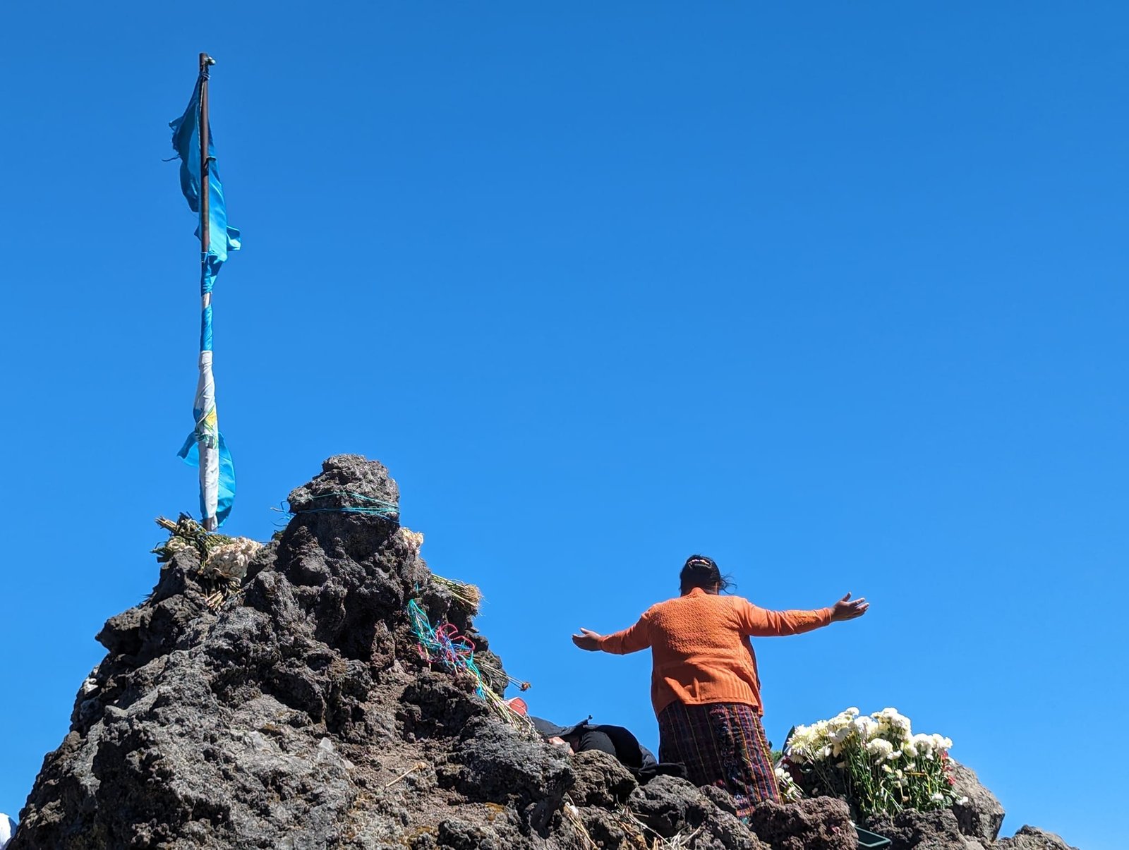
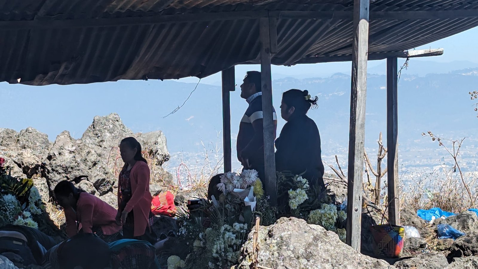
We visited Cerro Quemado twice: in the middle of the week (I think it was a Wednesday or Thursday) and on Sunday 11 February – the photos are from that day. More people came on Sunday, but it was more intense during the week. There probably is no rule, though – it all depends on who comes on a given day and what they have planned for their prayers. The important thing is not to arrive too late, ideally by about 10:00 at the latest.
We had mixed feelings. On the one hand it frightened us a little, on the other we admired how strongly the Maya beliefs, still closely tied to nature, live on here. Patrycja was reminded of the words of the Mesoamericanist Prof. Elżbieta Siarkiewicz: “today’s Quiché Maya from Chichicastenango (in Guatemala) believe that maize is afraid of earthquakes, and when one happens they talk to it to keep its spirits up”.
Flags, altars and a lava field at the top
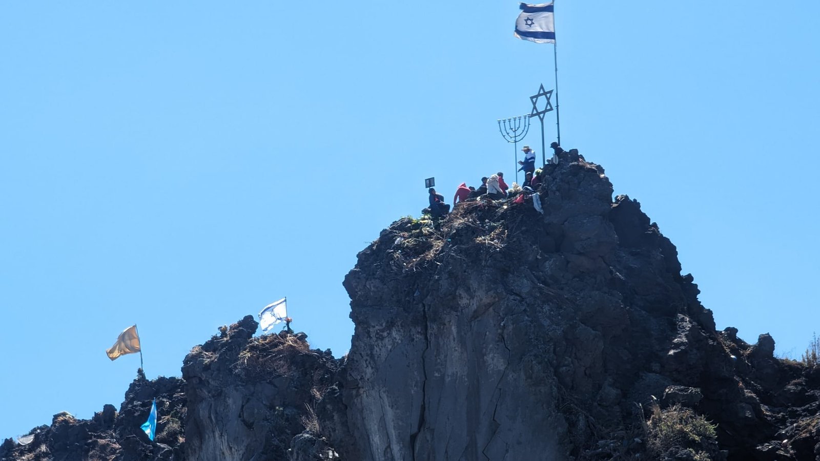
At the top flags flutter – those of Guatemala, Mexico and the USA, and also of Israel, next to a metal Star of David and a menorah – and between the rocks there are little altars of flowers.
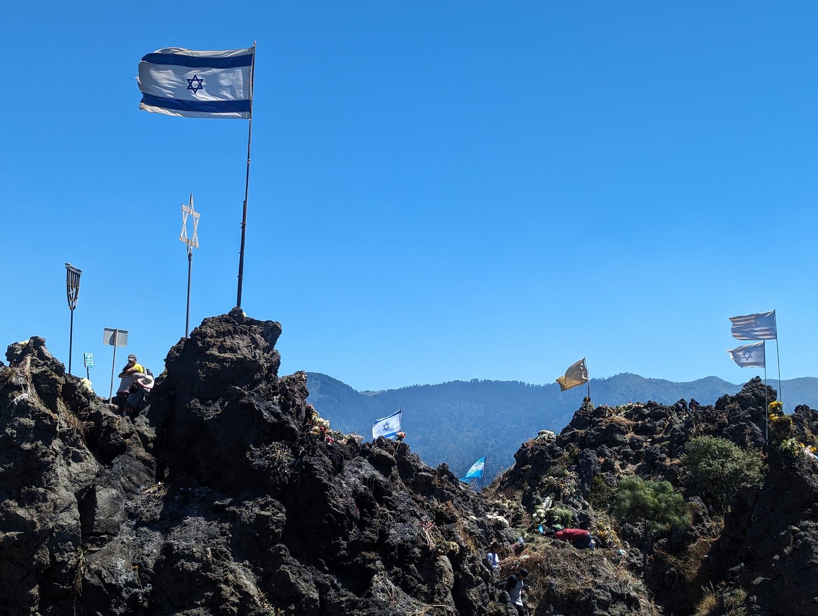
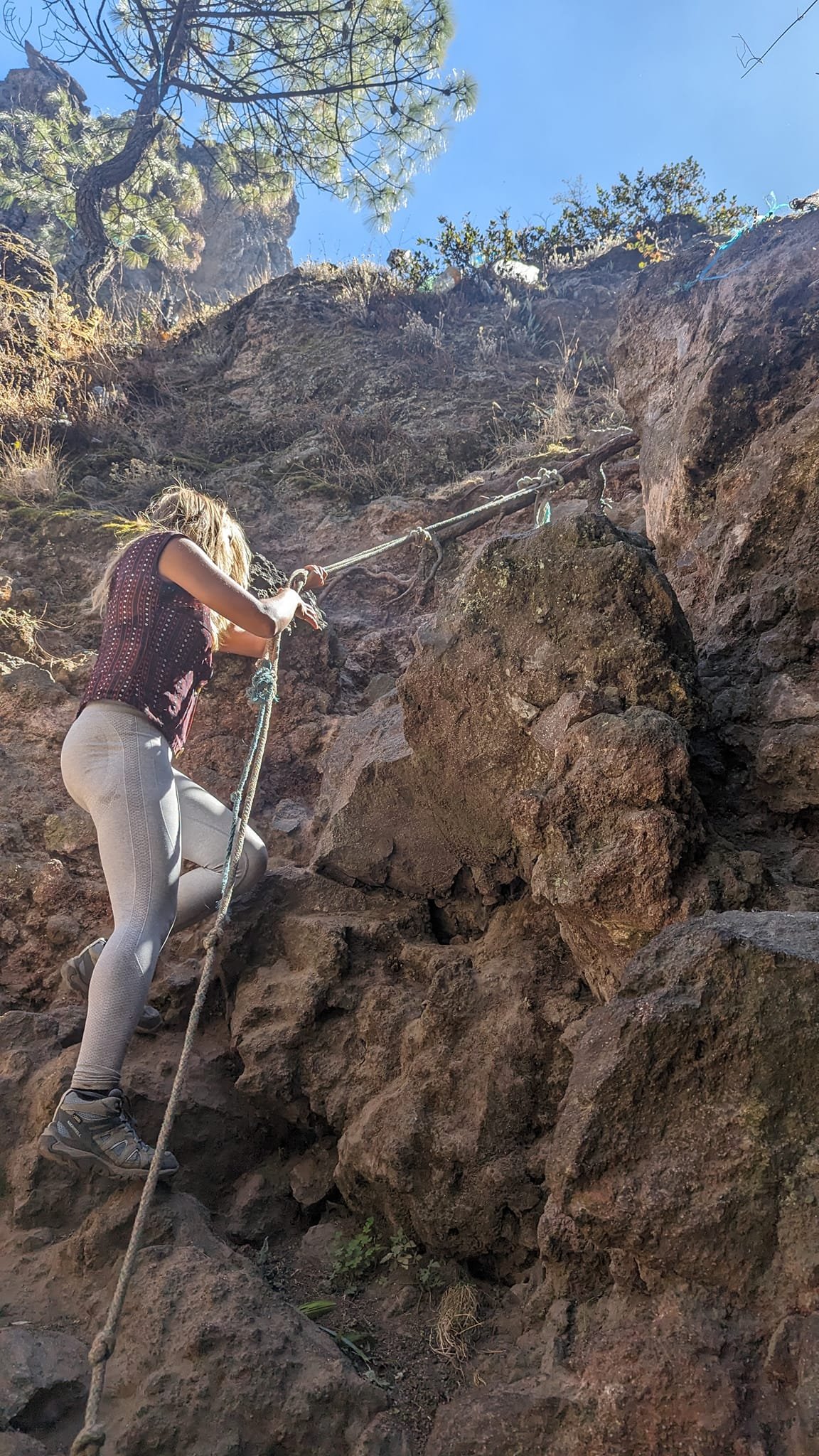
Steep paths lead to some of the altars – in places you have to pull yourself up on a rope.
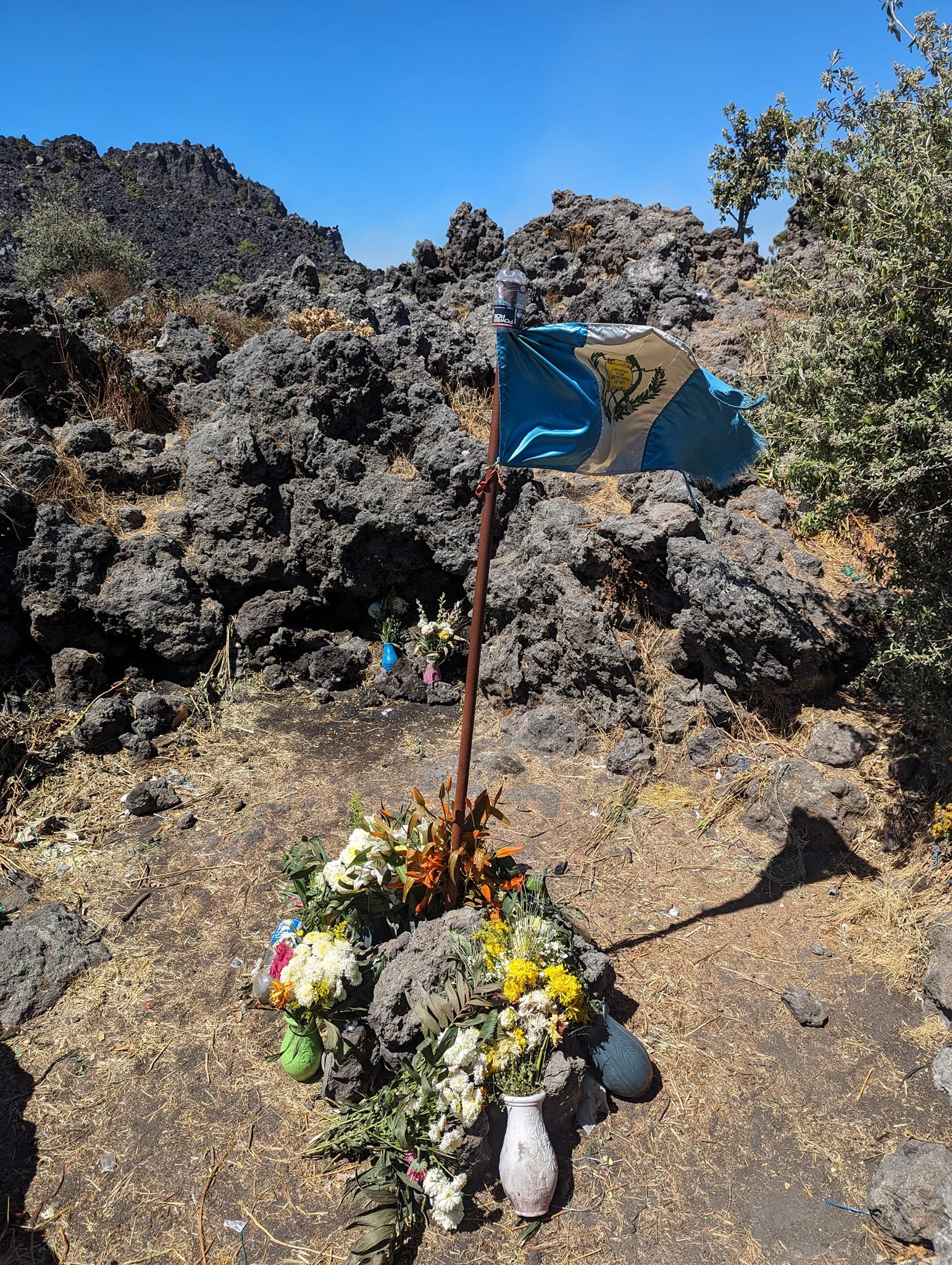
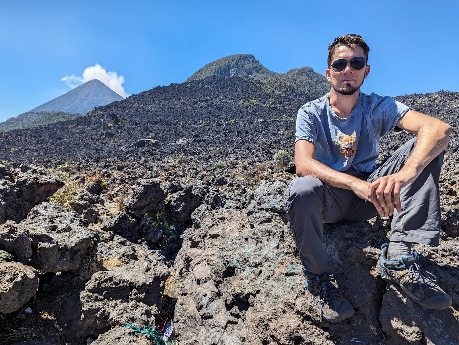
Further on stretches a lava field with a view of the Santa María volcano. Unfortunately, apart from flowers there is also a lot of rubbish on the hill, and in places the lava field has simply become a rubbish field.
Laguna Chicabal – a lake in a volcanic crater
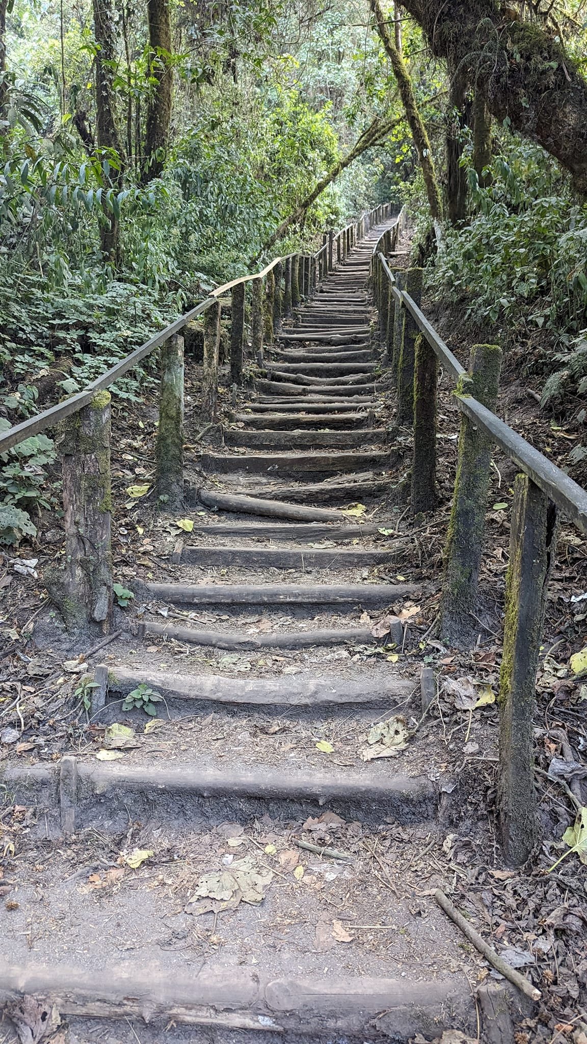
Laguna Chicabal lies a bit further from Quetzaltenango – about 25 km, or a 45-minute drive – in the crater of the Chicabal volcano (2900 m). We went there on 13 February.
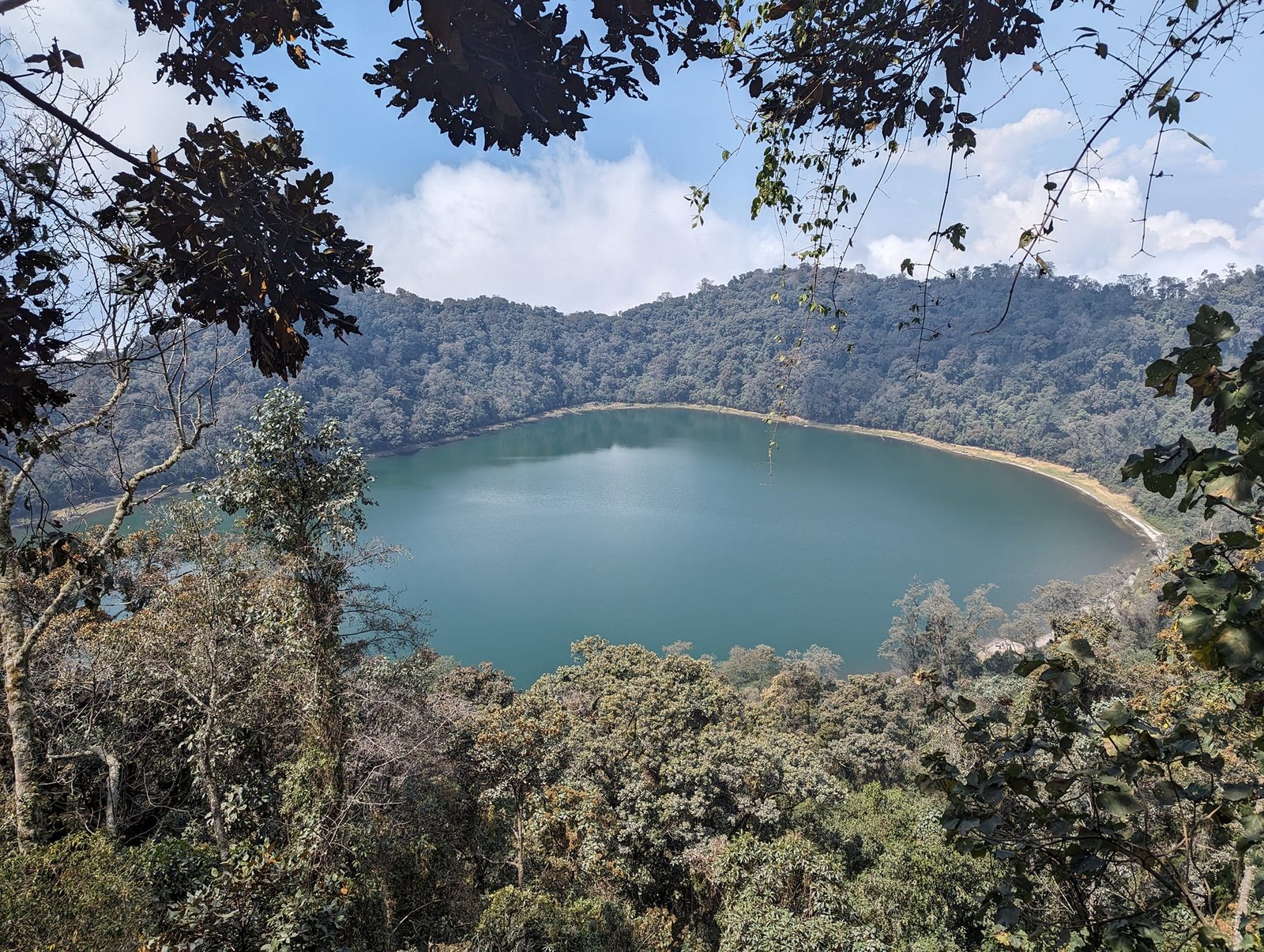
The walk from the village of San Martín Sacatepéquez to the viewpoint, together with the loop around the lagoon, is about 10 km with 700 m of elevation gain. You can always try hitchhiking (only 4x4s stop), because time is short: from about 10:00 the visibility gets worse. That is exactly how we skipped the sandiest stretch of the road.
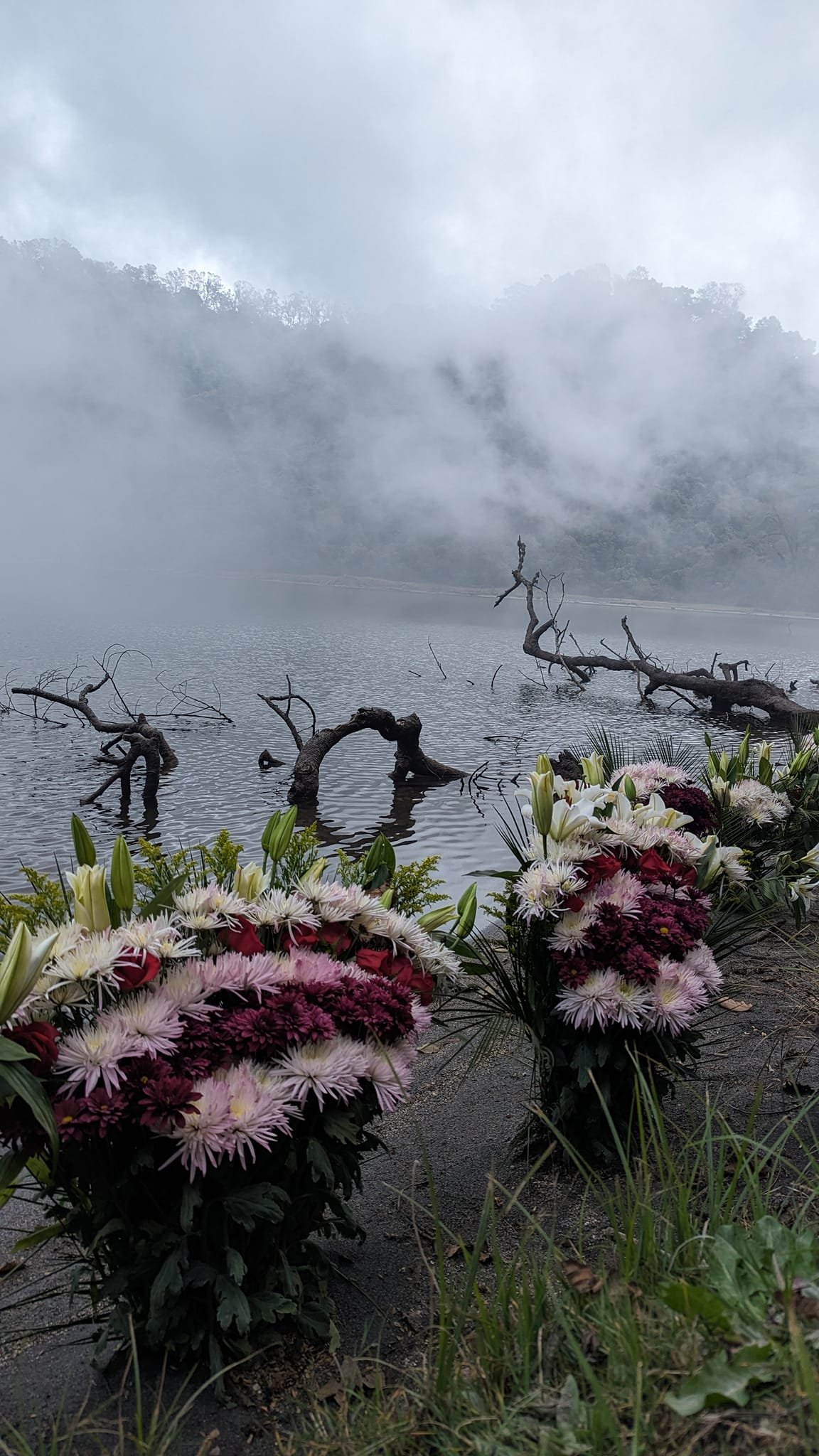
Although we were here at a good time, we could only see the lagoon itself – the surrounding volcanoes were not visible at all, and at about 11:00 fog rolled in over the water. The weather here changes from day to day.
Flowers and altars on the shore of the lagoon
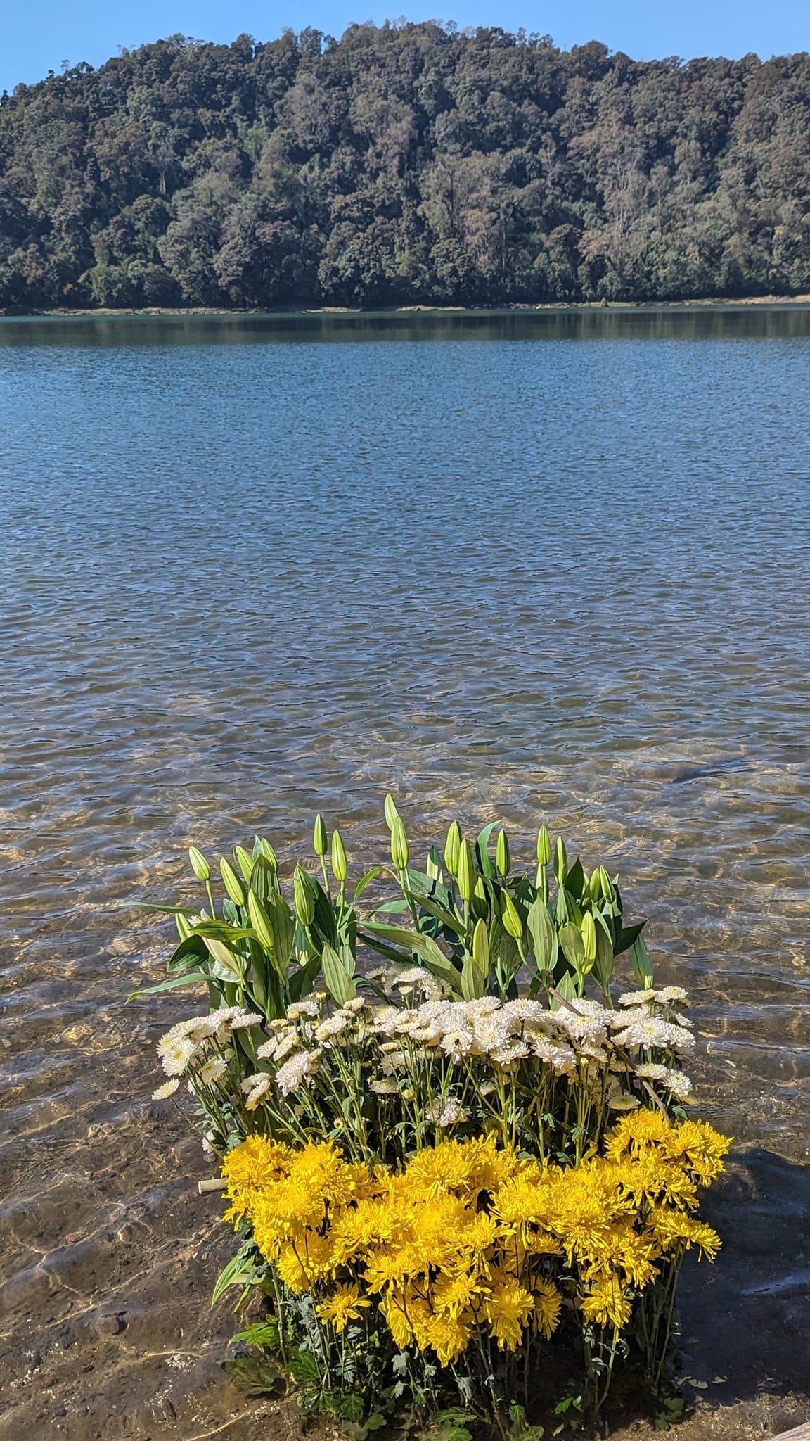
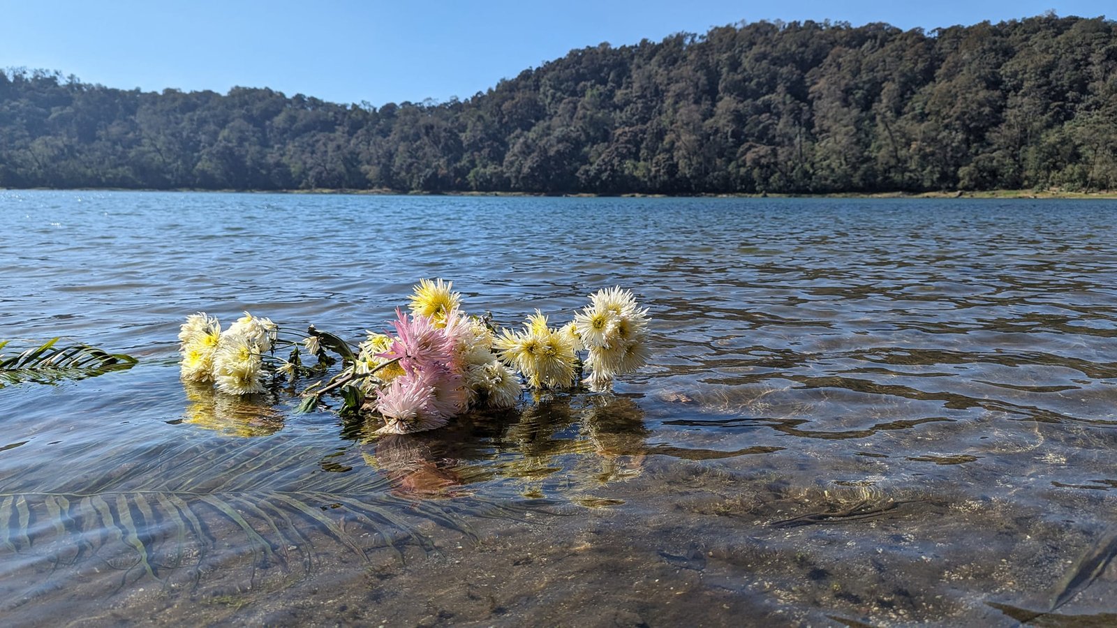
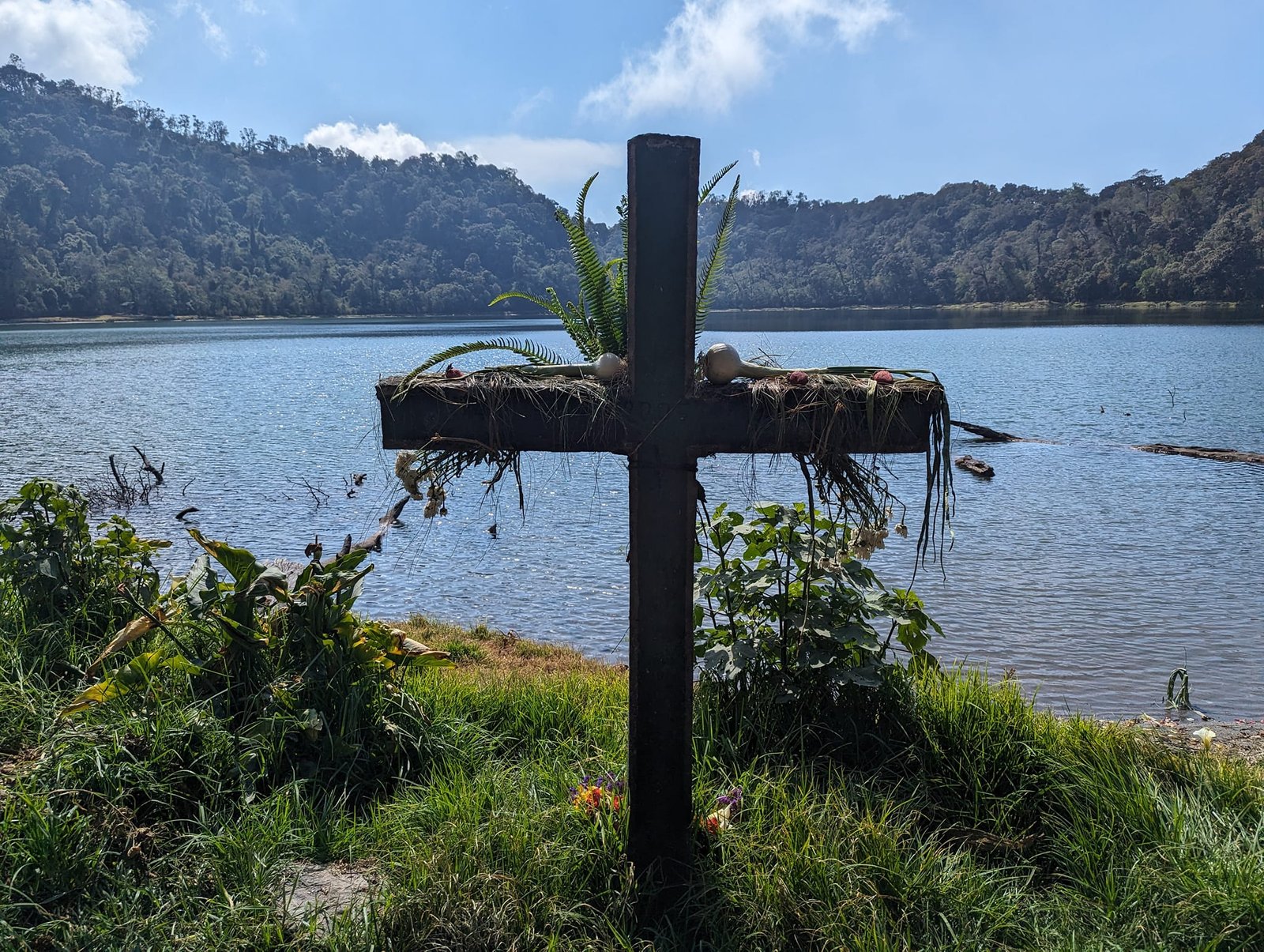
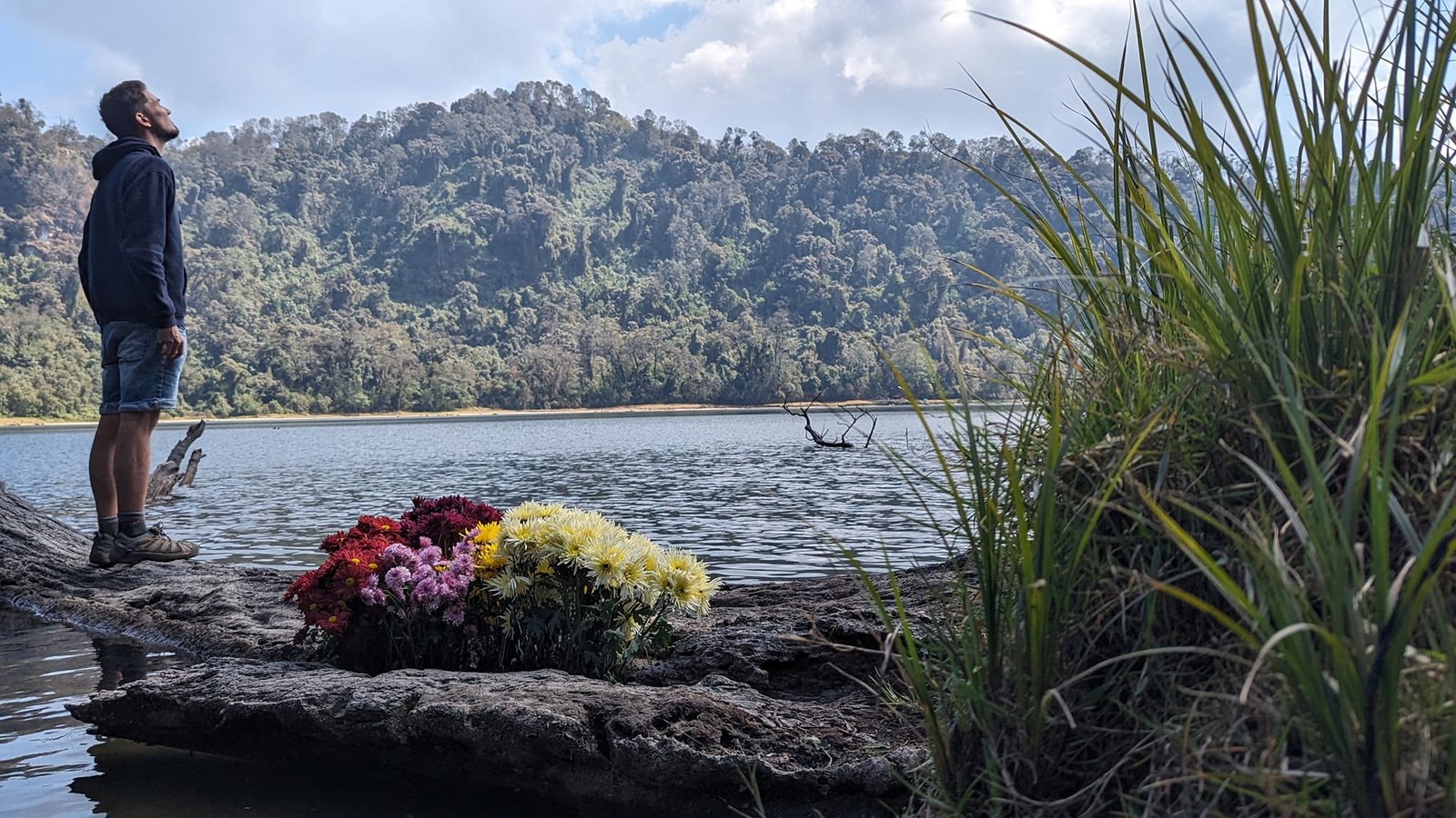
Laguna Chicabal is also a sacred Maya site. All around it Guatemalans lay flowers – on the shore and straight into the water. We also heard their singing and saw many altars.
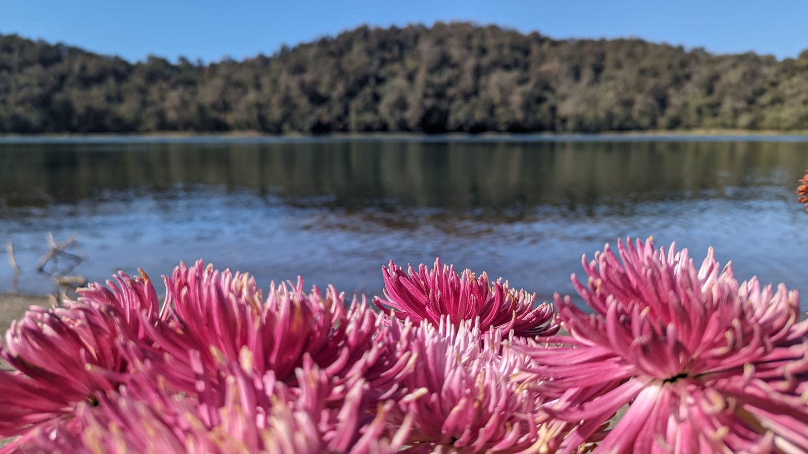
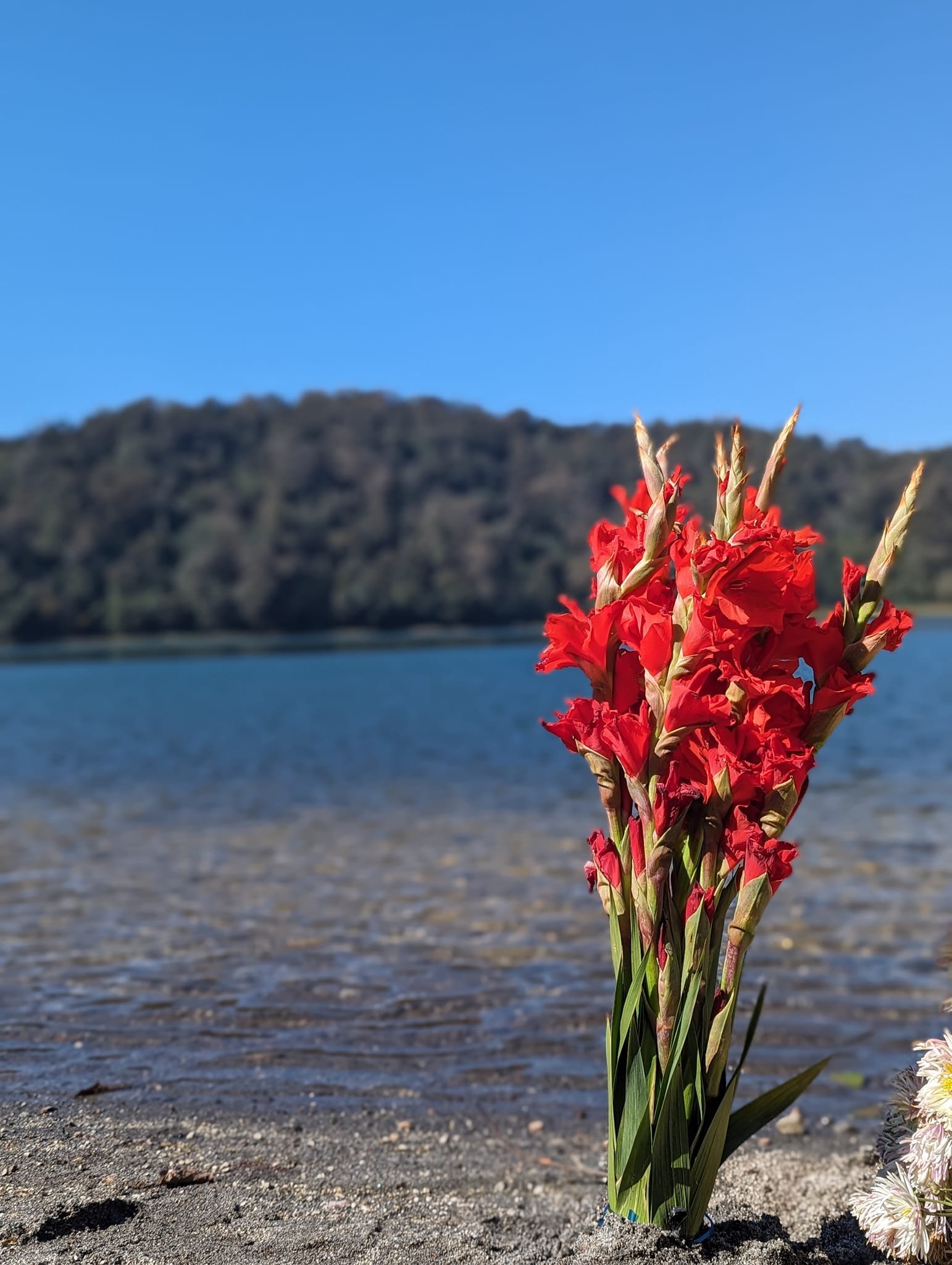
Because it is a sacred place, swimming is forbidden here.
On 15 February we travelled from Xela to El Salvador.
Practical information
- Getting to Xela – from San Pedro La Laguna on Lake Atitlán by chicken bus; the road climbs all the way.
- Accommodation – the cheapest option in the city was Rio Rooms & Apartment (Diagonal 5 9-77): a double room for just under 50 Q a night, good conditions (February 2024). Throughout Guatemala we paid €5–10 a night for two in the cheapest hostel, and Quetzaltenango was the cheapest of all.
- Cerro Quemado – about 5 km from the centre. The quickest and fairly cheap way to get there is by Uber (about 20–25 Q). Entry to the Cantón Chicuá area costs 2 Q per person. It is best to be there by about 10:00 at the latest; there are more people on Sundays, while on weekdays the prayers can be more intense.
- Laguna Chicabal – about 25 km from Xela (a 45-minute drive); an Uber there cost 80 Q. Entry for foreigners is 50 Q. From San Martín Sacatepéquez to the viewpoint and with the loop around the lagoon it is about 10 km and 700 m of elevation gain; you can hitchhike (only 4x4s). Visibility deteriorates from about 10:00. Swimming is forbidden.
- Aguas Amargas hot springs – entry 25 Q; Fuentes Georginas are more popular.
- Weather – in February up to 23°C during the day and from a few to over ten degrees at night; even colder on the summits.
- Currency – the quetzal (Q); 1 Q is about €0.12.
- Travelling on – there was no direct bus from Xela to El Salvador, so we went via Guatemala City.