


The Bieszczady Mountains were our last stop before Ukraine and, at the same time, the first goal of the “Destination Ukraine” trip (I summed up the whole route in the post Ukraine 2017 in a nutshell). We set off on 1 July 2017, just two days after returning from our bike trip to the Pyramid in Rapa. Michał and I went by train from Olsztyn, and Wiktor from Toruń – but he missed his train and arrived a few hours after us. On the train we met a Ukrainian, Ivan, and when we got off we forgot our playing cards – Ivan later posted them to us in Lviv. Right at the start I also had a bit of bad luck: a frozen pizza bought in a shop chipped my tooth, because there was a hard piece of plastic in it. Michał ate “the same one”, but only mine was faulty – luckily, after the trip I got compensation from the manufacturer.
Our first stop was Rzeszów, where Michał – my mate from Olsztyn who was studying in Rzeszów – put us up for the night. In the evening he showed us around the city, and on 2 July we took a bus to Polańczyk – our mountain base, where Wiktor’s family was staying. The day greeted us with not very nice weather (it was raining), but luckily it got better towards evening. First we went to eat at one of the local restaurants – and there, in turn, they tried to put me off my favourite dish: for the first time in my life, in a restaurant, instead of a homemade pizza I got a reheated shop-bought one – outrageous! Then we went for a swim in Solina Lake. The better weather was a good sign for the next day, for which we had plenty of plans (read on).
Michał and I filmed the video from this part of the trip (at the top of the post) with Xiaomi Yi Action cameras – unfortunately, because of the waterproof housing, the sound is not the best quality.
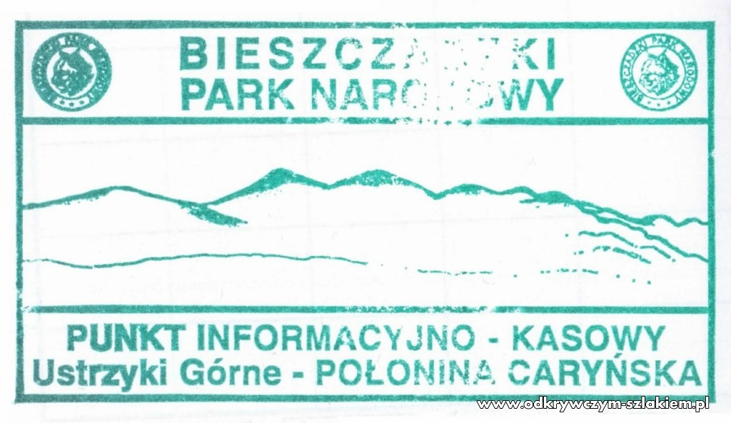
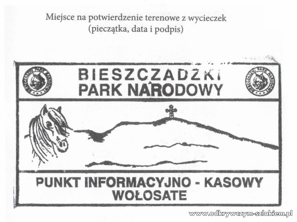
On the third day, early in the morning, we drove with Wiktor’s dad to Ustrzyki Górne. There we left the car in the car park by the trail to Połonina Caryńska, next to the Kremenaros PTTK mountain hut. Watch the video above from 1:32. I also bought a booklet to collect stamps (I lost my old one somewhere and won’t find it again), we paid the entrance fee and set off. Stamps could be found both in the mountain hut and at the ticket and information point (right by the car park).
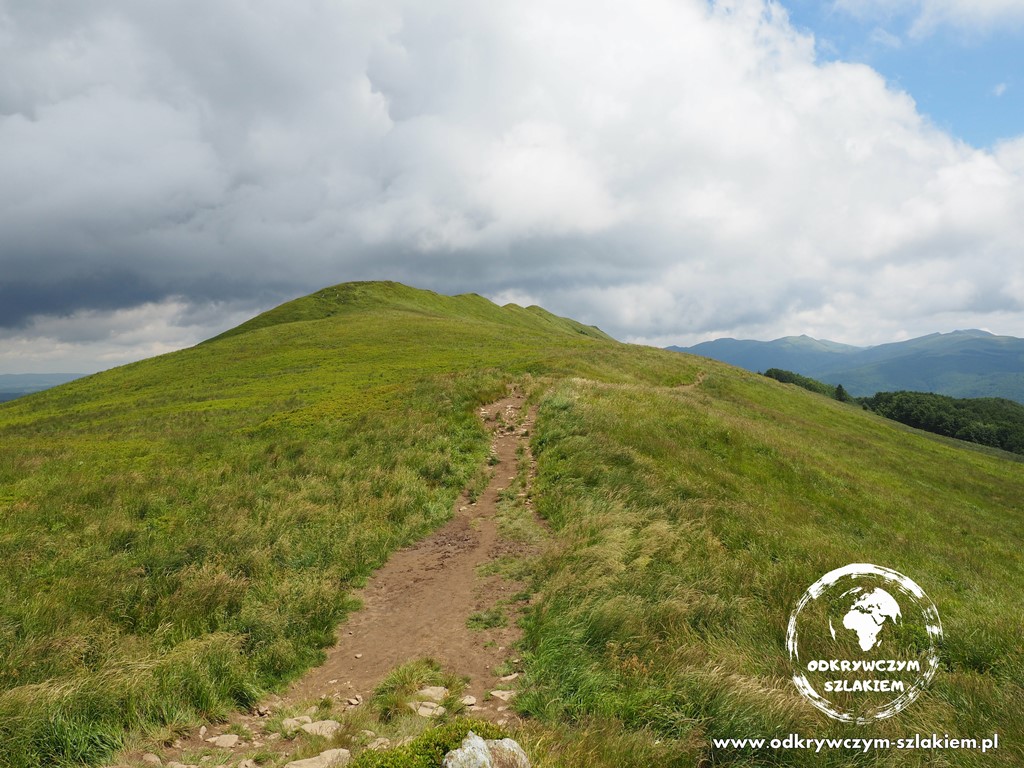
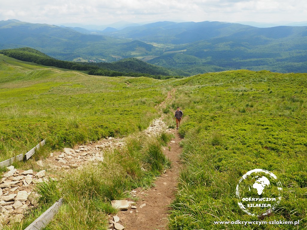
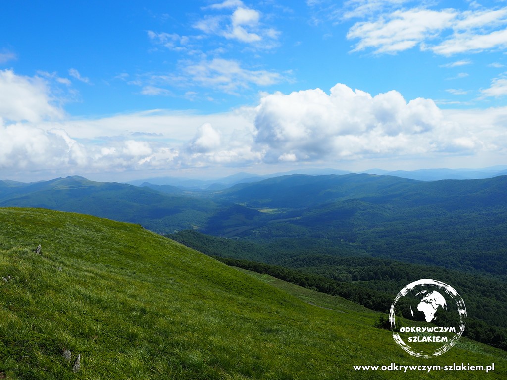
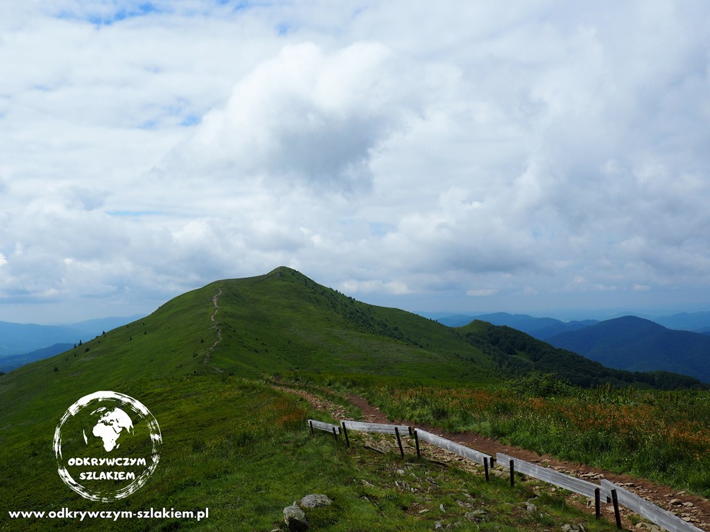
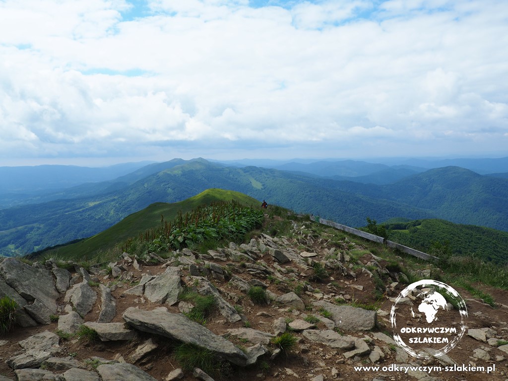
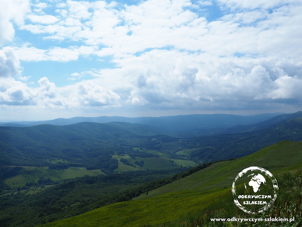
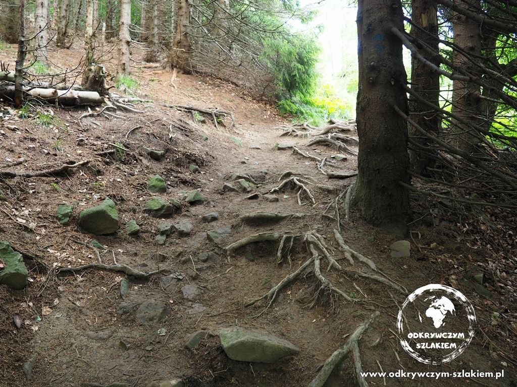
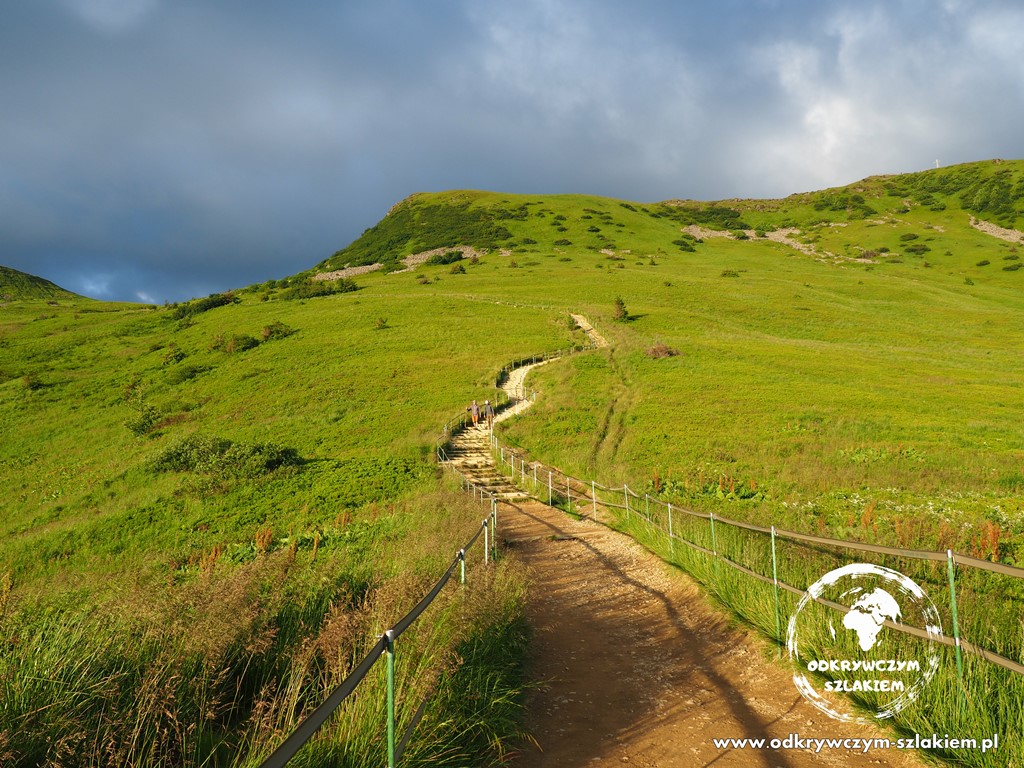
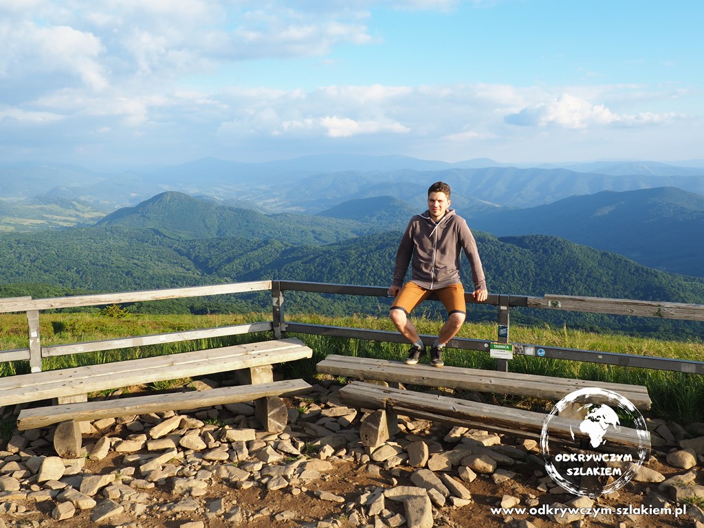
On this route we walked over 9 km of the Main Beskid Trail, most of it through forest. It had rained regularly on the previous days, so there was some mud, but it wasn’t too bad. Both on the way up and on the way down we passed large shelters with benches and a table, where you can stop for a short rest. We started walking at roughly 650 m above sea level, then reached 1234 m above sea level on Połonina Caryńska, and finally the highest point of the route – the summit of Kruhly Wierch (1297 m above sea level). From the połonina (the high mountain meadow) there is a wide, beautiful panorama. With a bit of luck you can even see the distant Tatra Mountains.
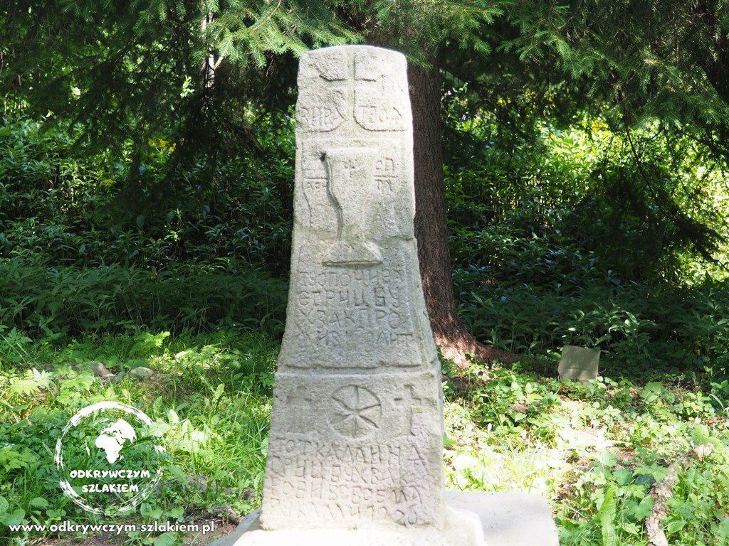
We came out in the village of Brzegi Górne, where right at the edge of the forest there is a Greek Catholic cemetery. You can see the surviving gravestones of the people who once lived here. In 1946, after the area was taken over by Poland, the population was resettled to the USSR and the village and its church were destroyed, so the cemetery is the largest remnant of pre-war times. After coming down from the trail, Michał and I had to wait while Wiktor and his dad hitchhiked about 8 km back to where the car was parked in Ustrzyki Górne. It went smoothly, and a moment later someone gave them a lift. Soon they came to pick us up so we could all go together to the highest peak of the Bieszczady in Poland – Tarnica (1346 m) – read on.
We decided to climb Tarnica from a fairly popular side – from the village of Wołosate. Watch the video above from 6:58. We parked the car somewhere by the road, and at the ticket office we got another stamp in our PTTK booklet.
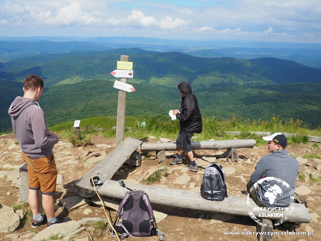
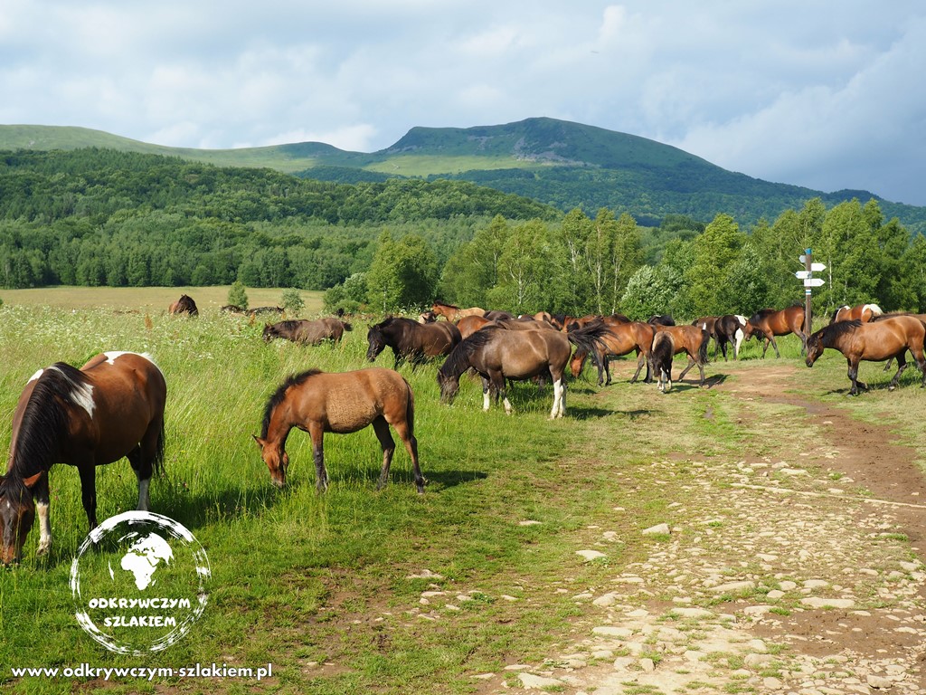
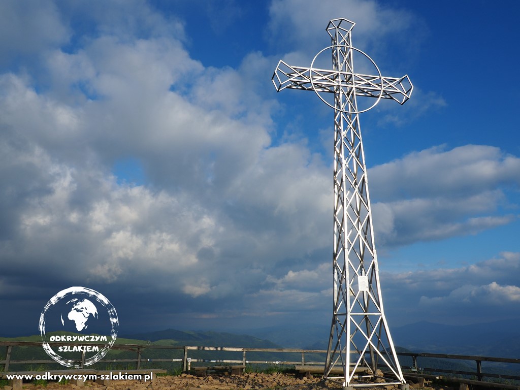
The route one way from this point is about 4.3 km, most of it through forest. It isn’t very demanding either, and the first and last junction is at Krygowski Pass, where two trails meet – the blue one (which we had been following) and the yellow one, leading to the summit. Tarnica (1346 m – Western Bieszczady) belongs to the Crown of Polish Mountains, but the highest mountain of the Bieszczady is in Ukraine – Pikui (1408 m – Eastern Bieszczady). In fact you can see it from Tarnica – it is only 33 km away as the crow flies. This time we went back exactly the same way to Wołosate (9 km there and back in total). A pity, because going back along the yellow trail to Ustrzyki Górne was a tempting option. But it was getting later and later, and on top of that we would have had to go back for the car.
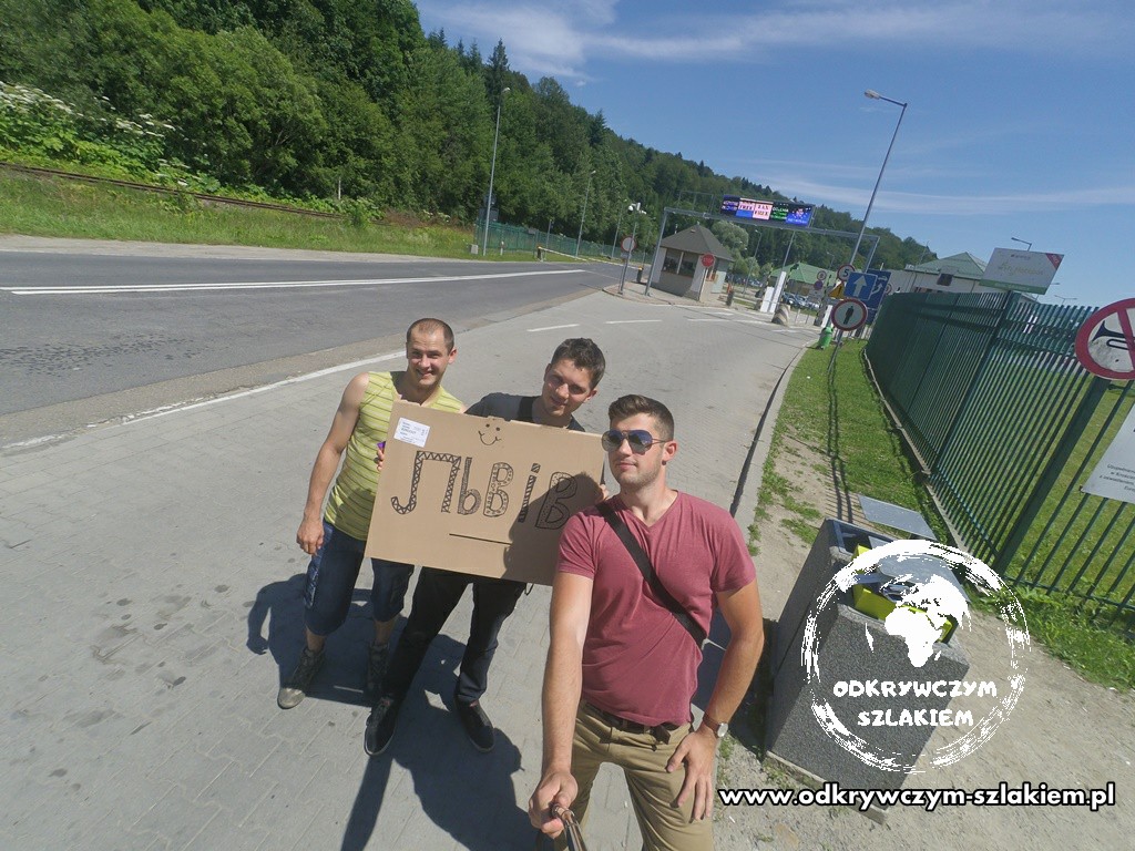
The next day we set off for Ukraine, specifically for Lviv! Originally we wanted to hitchhike all the way to the border, but in the end Wiktor’s dad drove us there – the hitchhiking only started in Krościenko. The article about the rest of the journey is here. You’re very welcome to read it :).
Stay with me on the road – follow me wherever you like best.