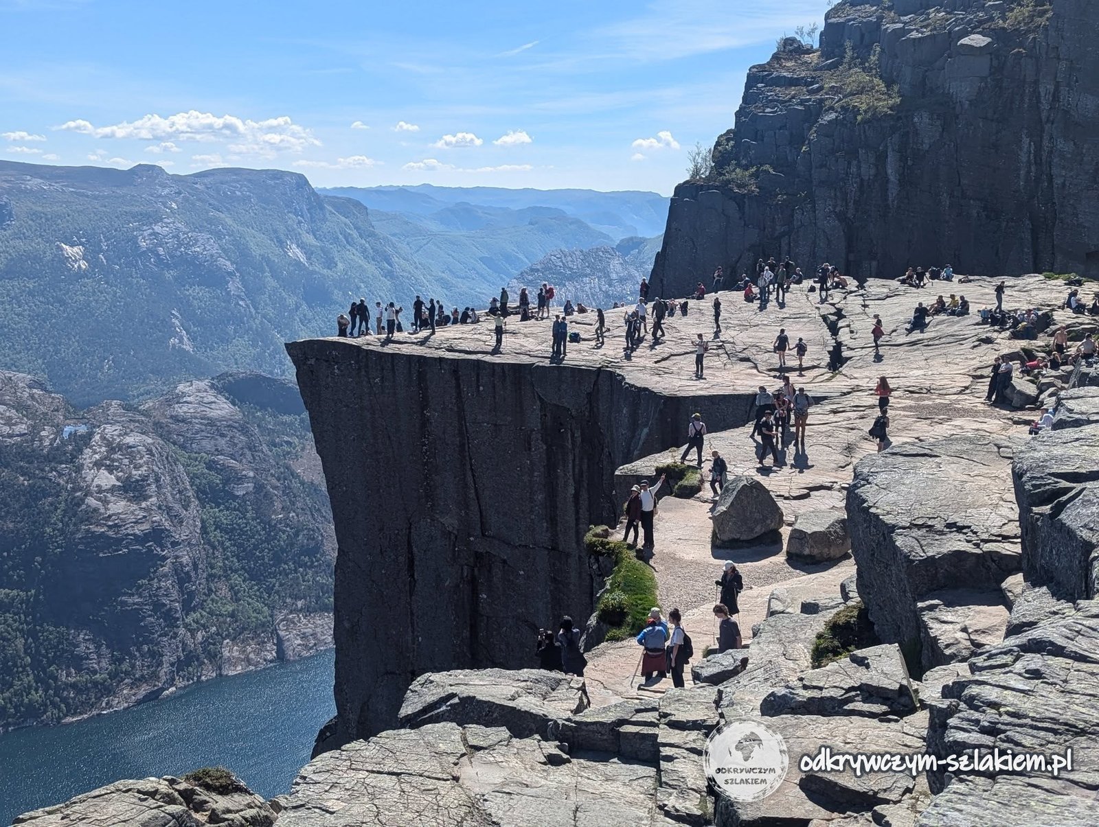
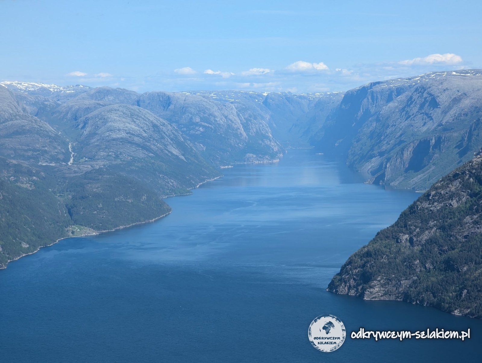
Preikestolen is a cliff 604 metres high, measuring 25 by 25 metres. It’s one of Norway’s best-known attractions! It towers over the 40-kilometre glacial fjord – Lysefjorden.
How the trip went:
Route map

Click to open the full-resolution map in a new window.
Early in the morning (at about 8:00) we set off from Stavanger by ferry towards Tau (14.5 km). There a bus was waiting for us, which took us 20 km to Pulpit Rock Parking, by Lake Revsvatnet, where the actual trail starts. We set off from there at about 10:00. The path to Preikestolen is 3.8 km long, with an elevation gain of 350 metres. The route is neither very demanding nor very long, but it’s very pretty. Walking it from the car park all the way to Preikestolen took us about 2.5 hours. On the way we passed lots of greenery and Lake Tjødnane (actually three lakes side by side). Do watch the video of this trip above! Once we got there, we had to queue for a photo, but it was worth it. The nicest shot, with no other people in the background – but you had to be quick.


It was still fairly early and it seemed a shame to go back, so we decided to climb even higher. That gave us a nice view of Preikestolen from above. On the way back it drizzled a bit, but as a reward we got a really beautiful rainbow.


The original plan was, after crossing by ferry, to get to the trailhead not by bus but by hitchhiking. Unfortunately, given the limited times of the return ferries, we didn’t want to risk it. For the ferry and the bus both ways we paid 320 Norwegian kroner each (~ €33), most of which went on the bus.
Update: since the end of 2019 you no longer need to take the ferry to Tau – Stavanger is linked to the other side of the fjord by the undersea tunnel Ryfast (Ryfylketunnelen, about 14 km; there’s a toll for cars). By car or bus from Stavanger you now get to the car park below Preikestolen in under an hour, and the return doesn’t depend on the ferry timetable. How we got there in 2025 – by bus to Jørpeland and then hitchhiking – I describe in the section below.


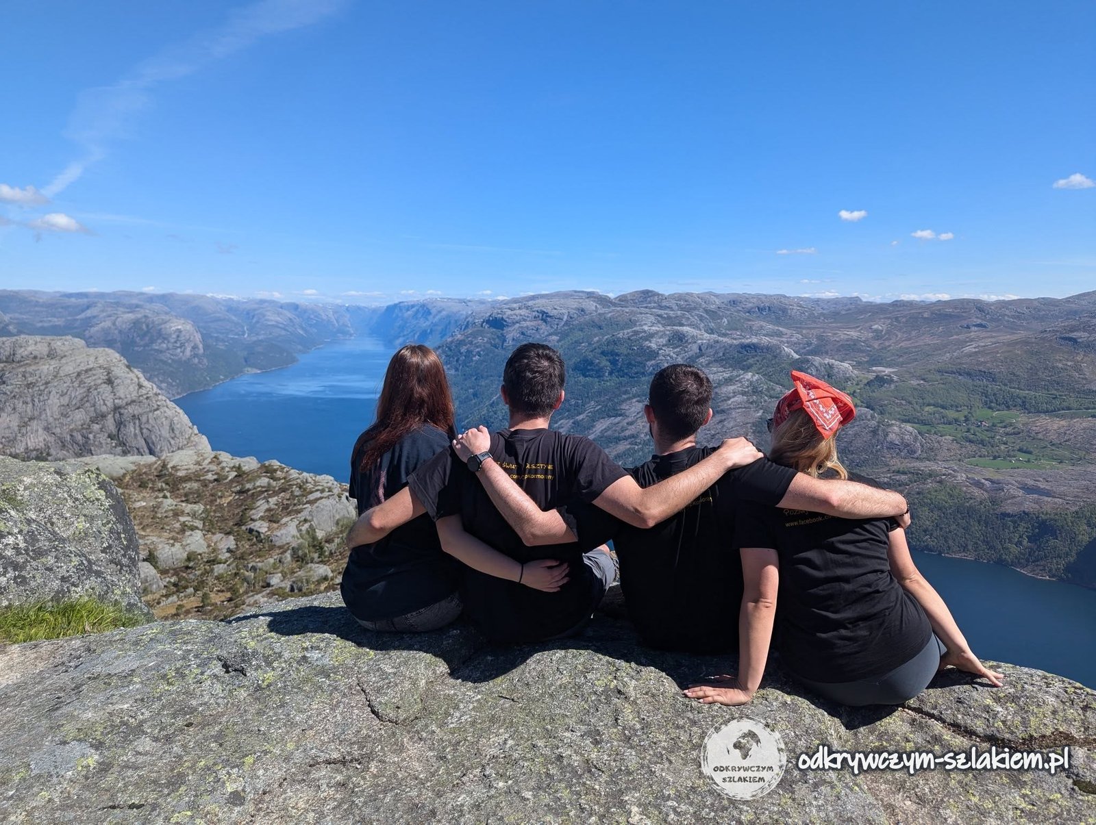
The trip was a great success! We were lucky with the weather – there was no other day with that much sun! I even managed to overcome my fear of heights by sitting on the rock ledge several times! Before 5 p.m. we were already back at the car park, and at about 6 p.m. on the return ferry. In the end we walked 9–10 km there and back.

Also in the area is the famous Kjerag (Kjeragbolten – a boulder wedged in a crevice), which we didn’t see, though. It lies on the other side of the water, so the trip would have to start from the other side anyway.
On 8–12 May 2025 I was in Stavanger again, staying with Michał and Patrycja, and the main goal of the trip was Preikestolen – for me, a return to “Pulpit Rock” after eight years. This time getting there looked completely different from 2017.
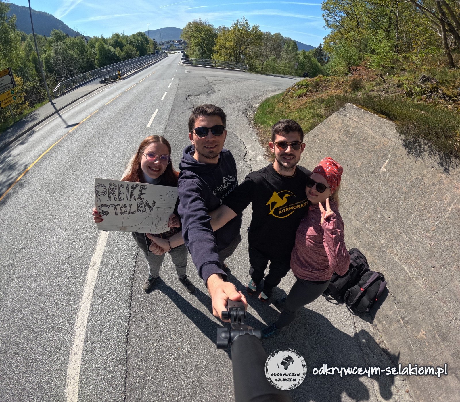
Getting there through the Ryfylketunnelen. Since 2019, instead of taking the ferry to Tau, you drive through the undersea Ryfylketunnelen – the longest and deepest undersea road tunnel in the world (14.4 km long, almost 300 m deep). From Stavanger we took a city bus to Jørpeland, and from there the four of us hitched a ride for the last 9 km to the trailhead – without much trouble. We also hitchhiked back, straight to Stavanger itself. There are of course tourist buses, but we wanted to do it on the cheap, the distance isn’t great and time-wise it’s easy to organise.

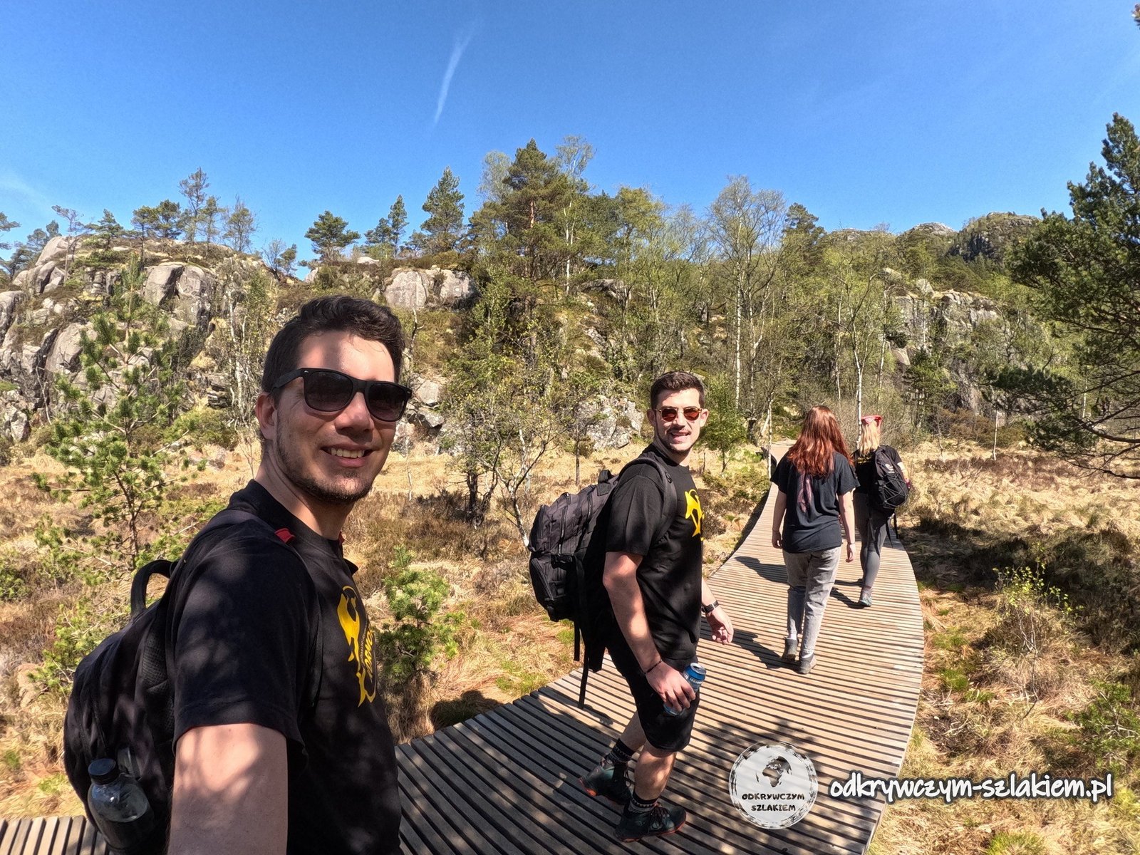
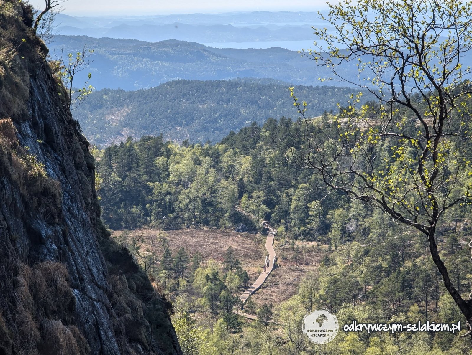
The trail. We started from the upper car park, so we had a bit less to walk: just under 4 km and about 400 m of ascent one way. The trail is scenic and not too difficult – it runs over rock slabs and wooden boardwalks, past small lakes.
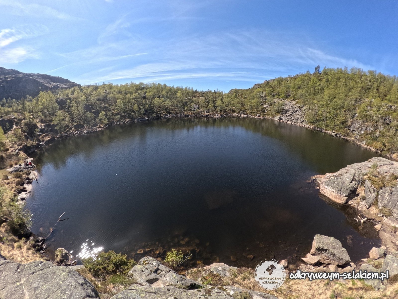
The weather was perfect: full sun, little wind and up to 13°C, so we often walked in short sleeves. On the cliff itself, as always at Preikestolen, there were quite a lot of people – it’s one of the most popular places in Norway.
- Getting there in 2017: ferry from Stavanger to Tau and a bus to Pulpit Rock Parking – 320 NOK (about €33) per person return in total, most of it for the bus. The return depended on the ferry times.
- Getting there since 2019: through the undersea Ryfylketunnelen – by car or bus from Stavanger you reach the trailhead in under an hour. In 2025 we took a city bus to Jørpeland, and hitchhiked the last 9 km and back to Stavanger.
- Trail: from Pulpit Rock car park about 3.8 km one way and about 350–400 m of ascent; in 2017 it took us about 2.5 hours to get there, and the whole trip, including climbing higher above the cliff, was about 9–10 km.
- Weather: oceanic climate – in September 2017 it rained every day of our six-day stay, and the day at Preikestolen was the only truly sunny one; in May 2025 we had full sun and up to 13°C.
- Accommodation: in season you can bring a tent, as long as camping isn’t prohibited at that spot; we stayed at Michał’s in Stavanger.
There’s a separate post about Stavanger itself – Gamle Stavanger, the Sverd i fjell monument, the Norwegian Petroleum Museum, trails around the city, prices and getting there from the airport: Stavanger in summer and winter.