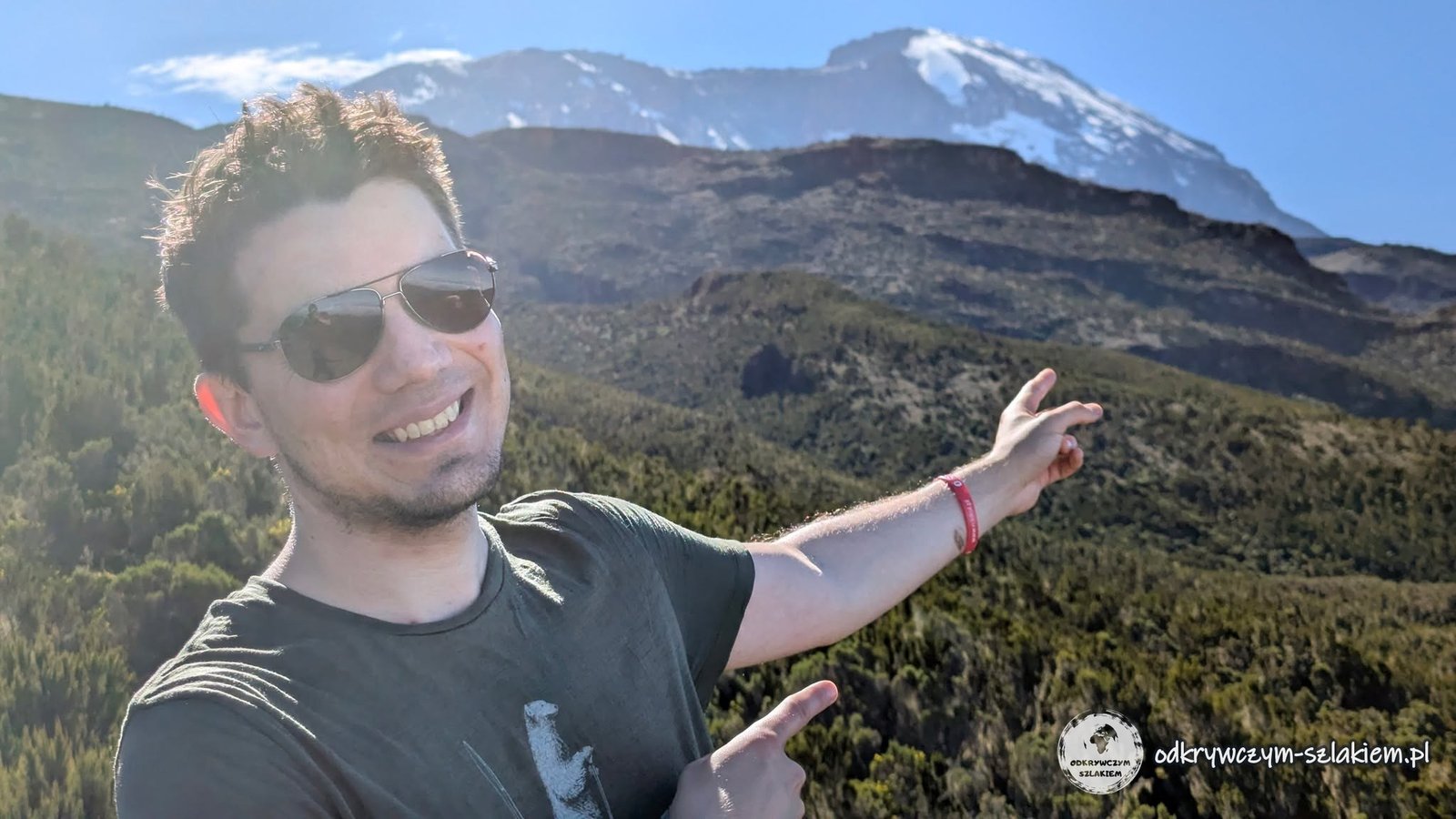
We climbed Kilimanjaro via the Machame route – a seven-day trek through rainforest, heathland and stony desert all the way to Uhuru Peak (5895 m above sea level), the highest point in Africa. The trek lasted from 6 to 12 June 2026, and we walked as a group of ten. For each day I give the distance, the elevation gain and my oxygen saturation readings, and apart from the day-by-day account you will also find plenty of practical information here: how an expedition like this is organised, what you eat on the trail and how acclimatisation went.
Kilimanjaro is also the subject of my talk “Odkrywczym Szlakiem to the Roof of Africa – Kilimanjaro, the Promised Mountain” (in Polish).
Table of contents
- Before we hit the trail
- Day I: Machame Gate – Machame Camp
- Day II: above the clouds to Shira Cave Camp
- Day III: Lava Tower (4630 m) and Barranco Camp
- Day IV: Barranco Wall and Karanga Camp
- Day V: Barafu Camp
- Day VI: the summit push to Uhuru Peak
- Day VII: the descent
- Acclimatisation and the hardest moment – a summary
- Practical information
Before we hit the trail
The idea of Kilimanjaro came to me about three years before the trip, when I came across an article saying it is the highest free-standing mountain massif in the world. The subject drew me in and I started reading more about it, and at some point Michał and I promised each other that one day we would do it together. At the end of 2025 Piotrek, known as Pirat Dyplomata, announced that he was going to lead an organised expedition to – of all places – Kilimanjaro. We did not need much persuading – we signed up.
We flew to Tanzania a few days before the trek – and not without adventures: a cancelled flight, a night at Zurich airport and an accidental part in the inauguration of Brussels Airlines’ new route to Kilimanjaro Airport. Then came a day in Arusha, a visit to the Polish Exiles’ Cemetery in Tengeru and a briefing in Moshi, and on the evening before we set off into the mountains I celebrated my birthday. I describe all of this in a separate post: Tanzania before Kilimanjaro: an inaugural flight, Arusha, the Polish cemetery in Tengeru and Moshi.
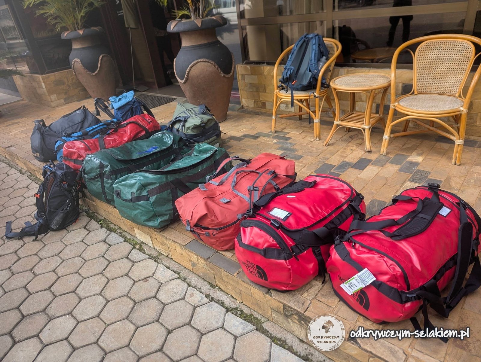
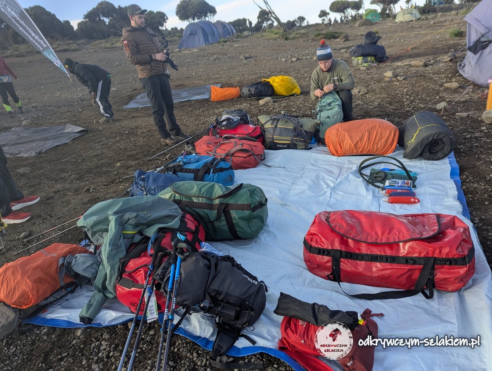
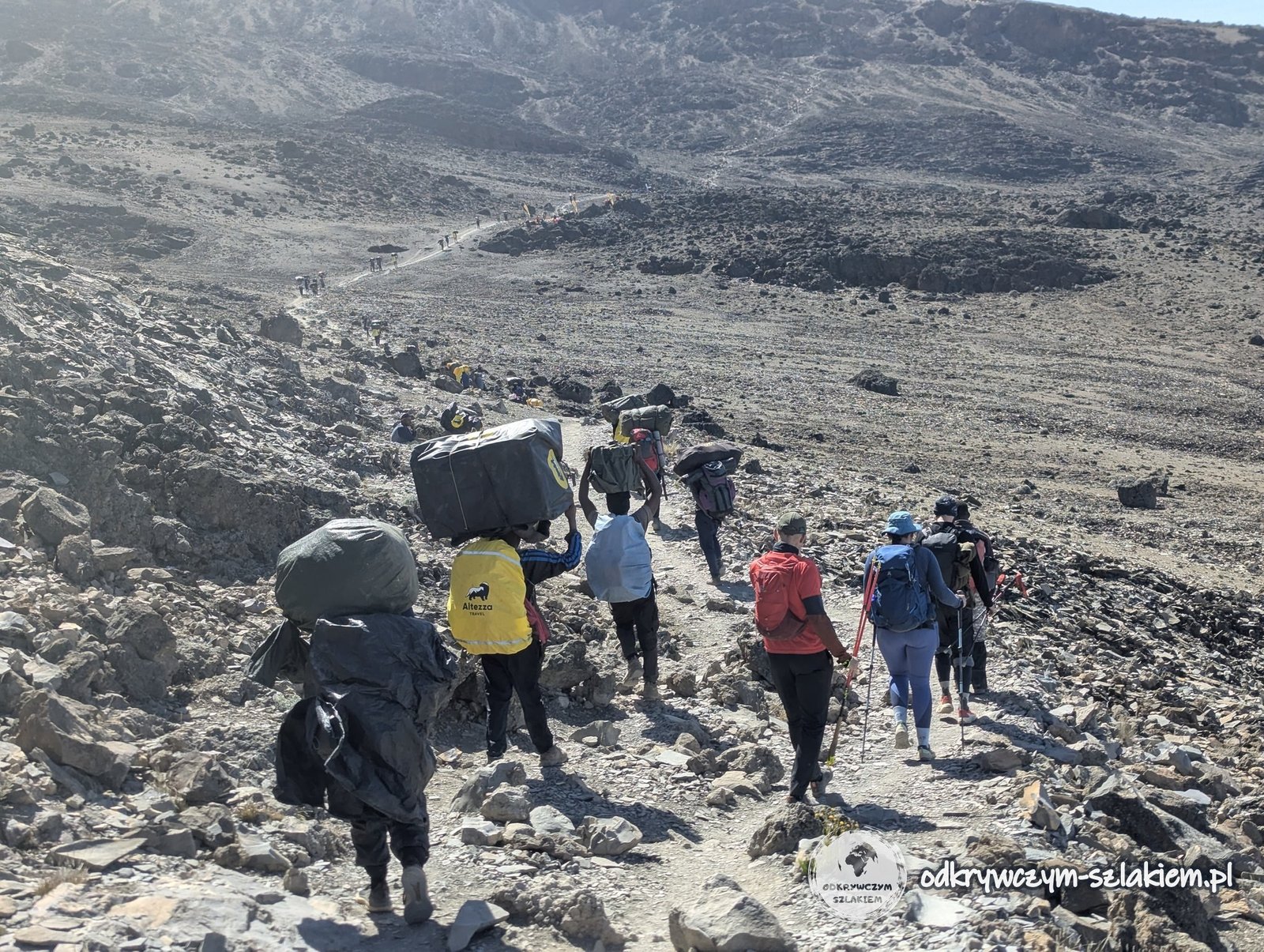
We booked the expedition with the travel agency Gonna Travel as a group of ten (Piotrek was our leader), and on the ground we were looked after by a local agency with guides, cooks and porters. The group included, among others, Michał, with whom I shared a tent until the end of the trip, Filip, Piotrek, Paweł, Asia and Łukasz. We were accompanied by a local crew of as many as 33 people – you cannot climb Kilimanjaro on your own, and an expedition takes a lot of organisation. The porters carried our personal belongings, parts of the camp, the kitchen equipment and the rest of the gear; there were cooks, people who put up the tents and the portable toilet and, of course, the guides. In practice it meant that we walked from camp to camp and the whole camp travelled with us. In the evening in Moshi we repacked: the main bag (duffel bag), which the porters carried for the entire trek, the daypack for each day’s walk, and the things that stayed at the hotel until we got back.
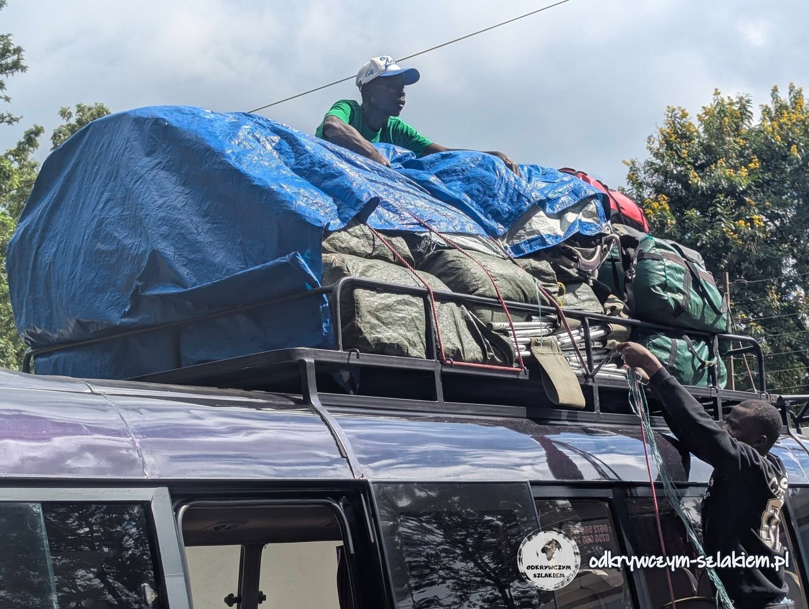
In the morning our luggage ended up on the roof of the minibus – the whole packing routine looked just like in Central America – and we set off for the national park gate.
Day I: Machame Gate – Machame Camp
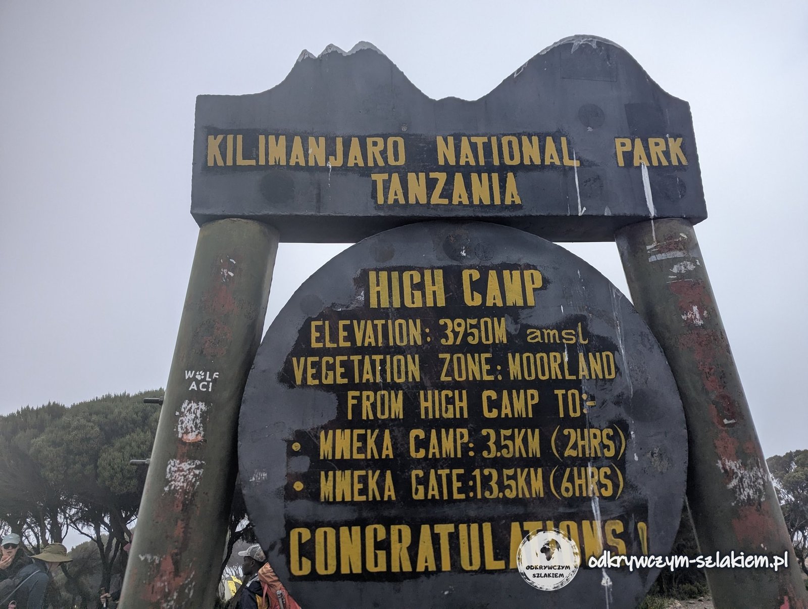
On Saturday 6 June 2026 we arrived at Machame Gate (1800 m above sea level), the gate of Kilimanjaro National Park where the Machame route begins. The sign at the gate immediately makes the scale of the expedition clear: from here it is 40 km to Uhuru Peak and – according to the sign – 32 hours of walking.
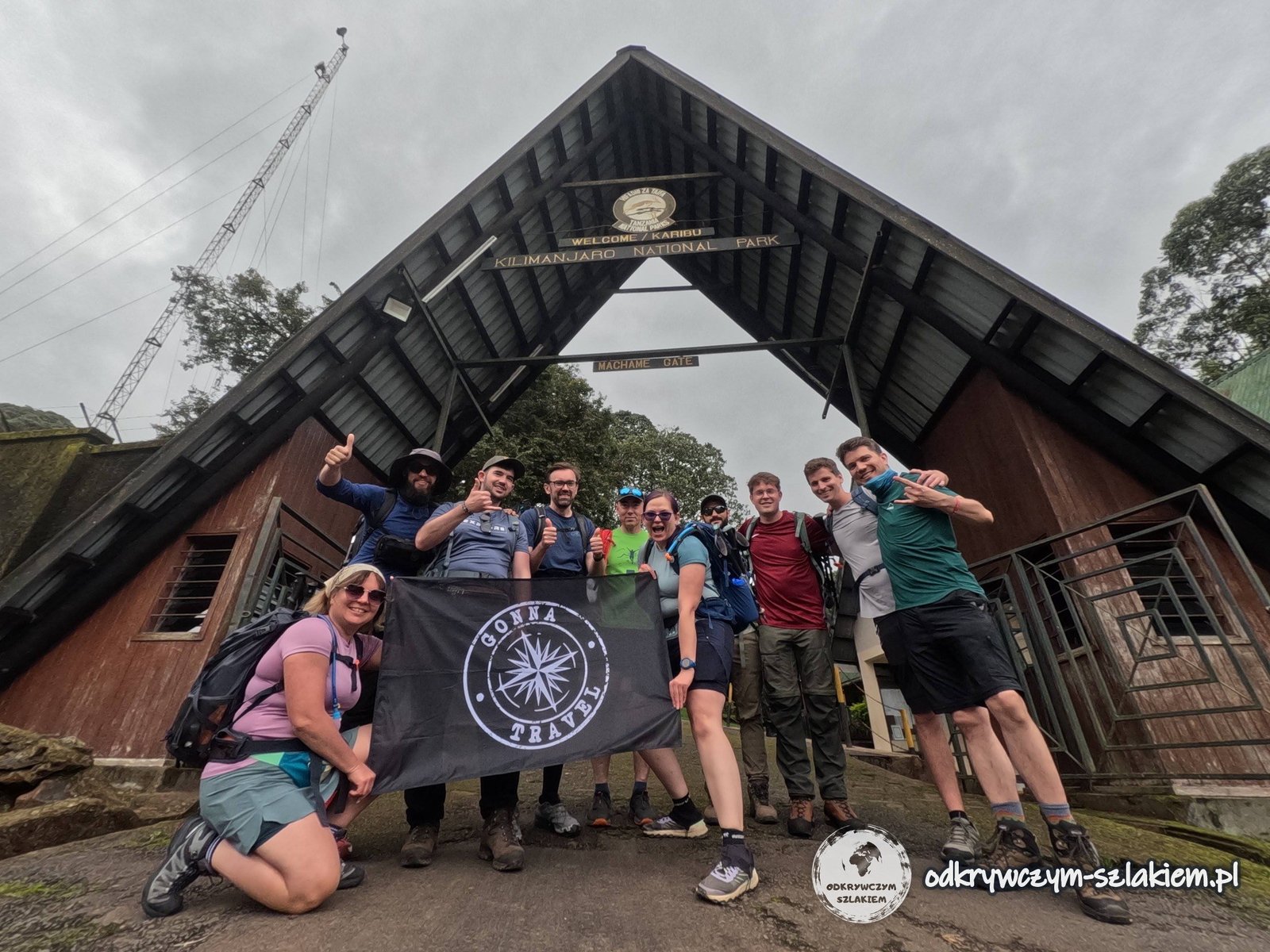
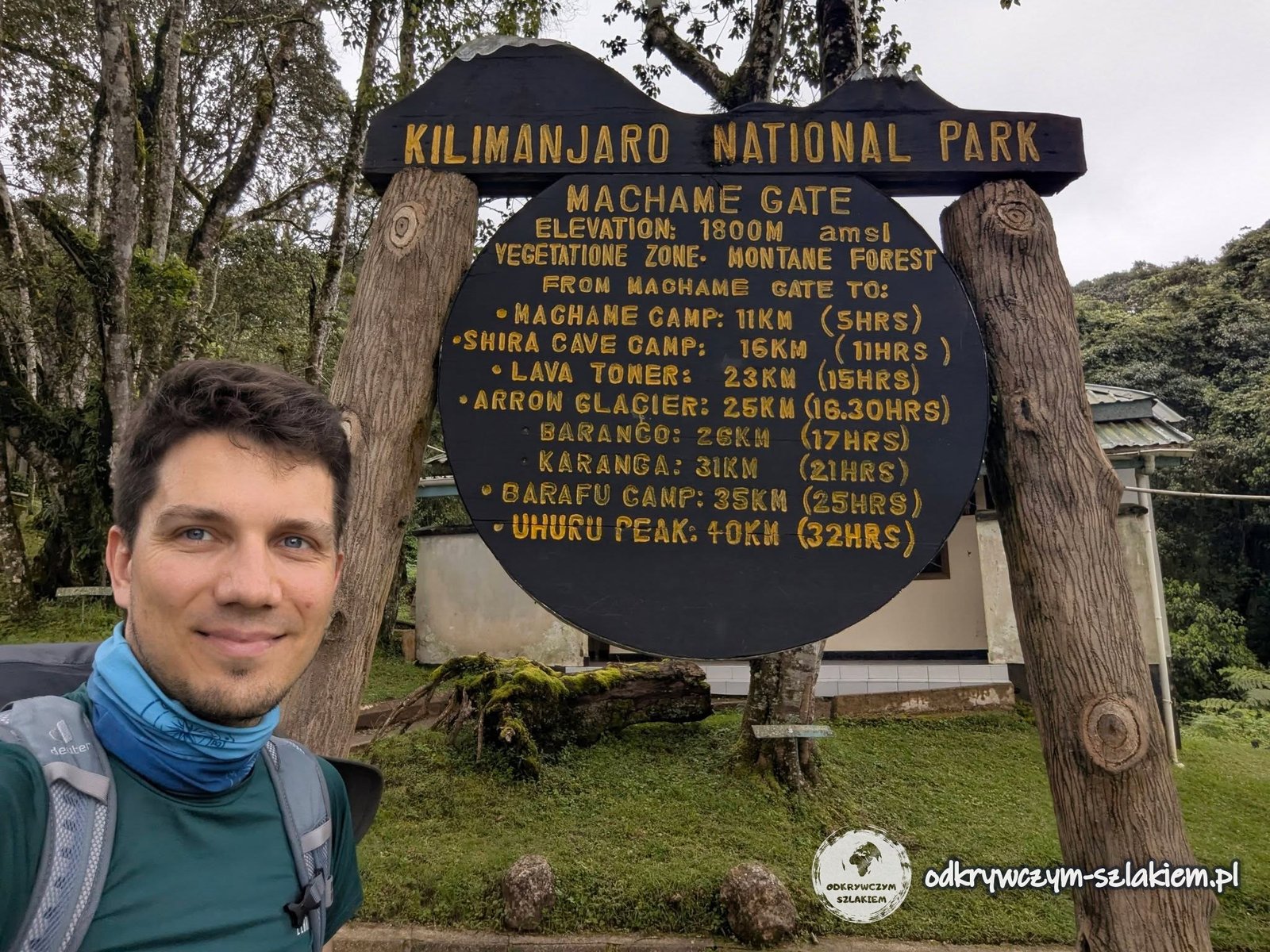
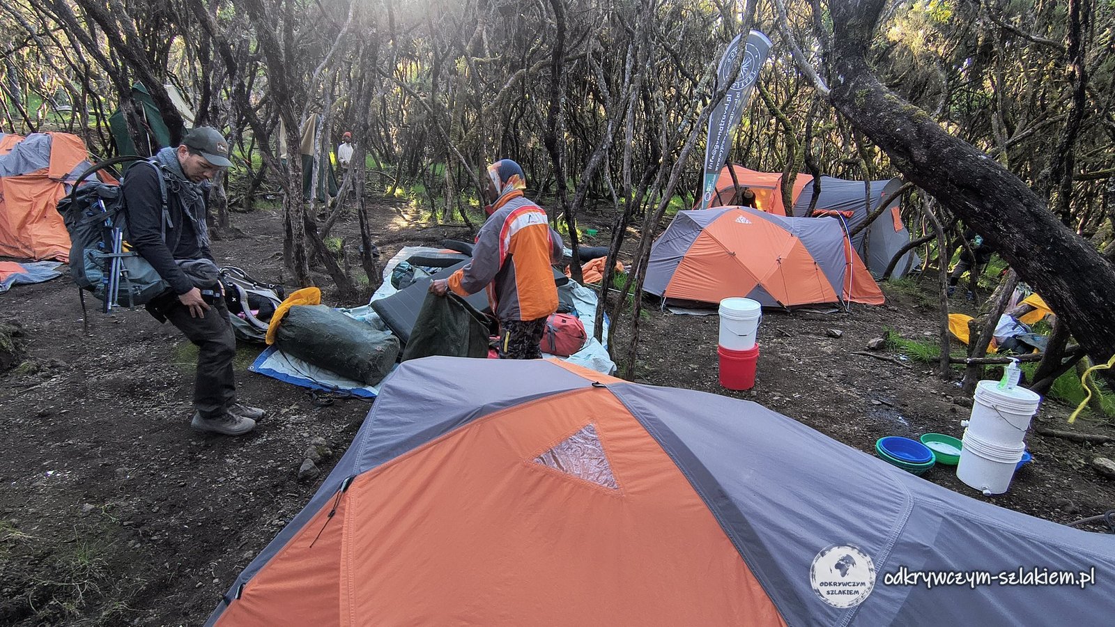
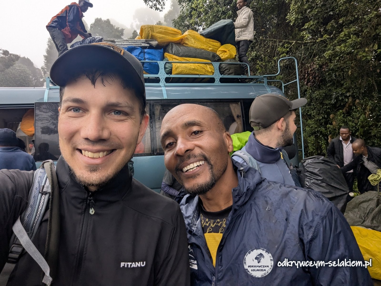
Before setting off we had lunch and could still use a normal toilet. We only started walking at around 14:00 – late, which surprised us a little, but that was the guides’ decision. Thanks to it we got to see what a huge undertaking a trek like this is: right in front of us the crew was getting the tents, chairs and all the camping equipment ready.
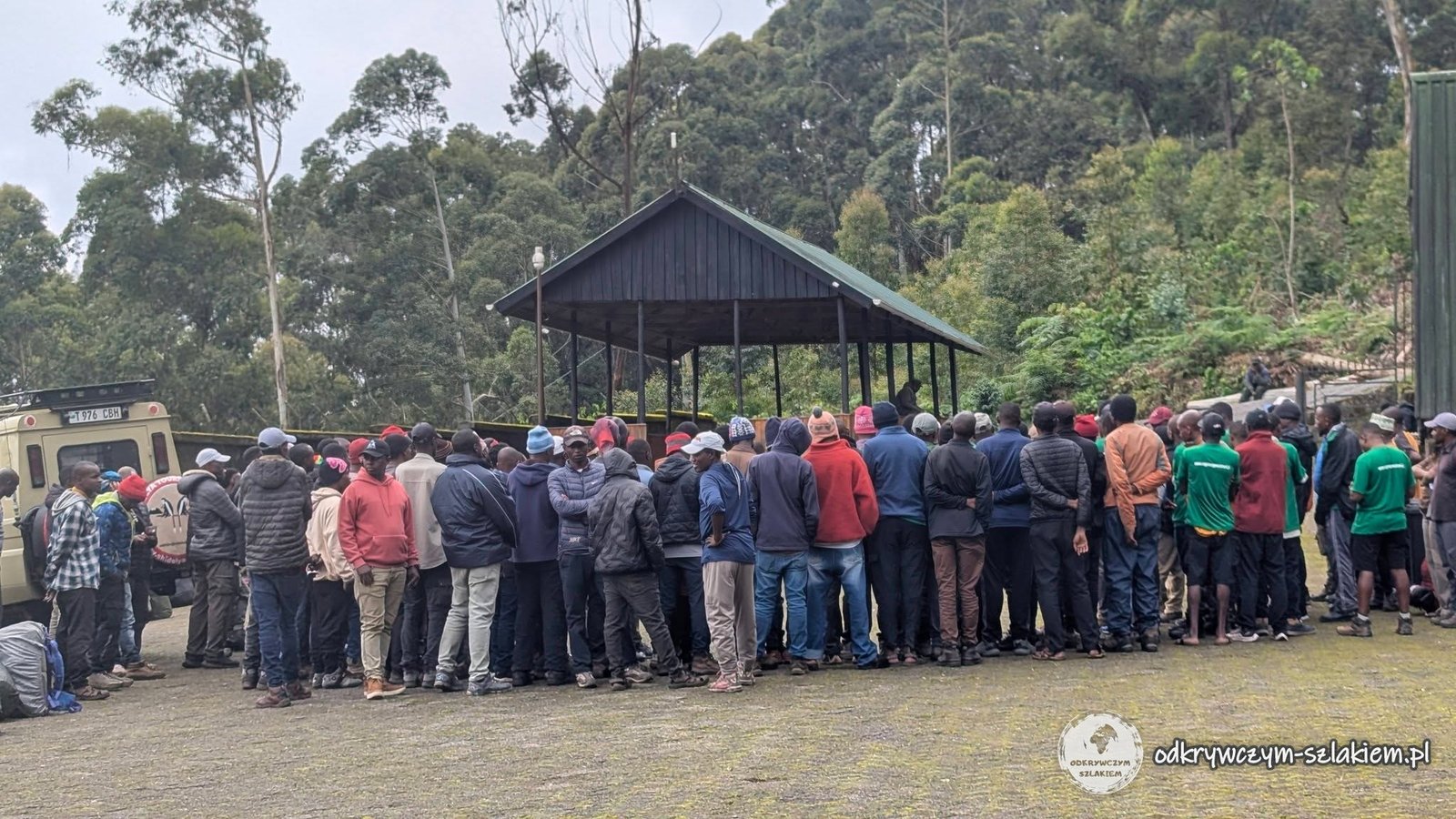
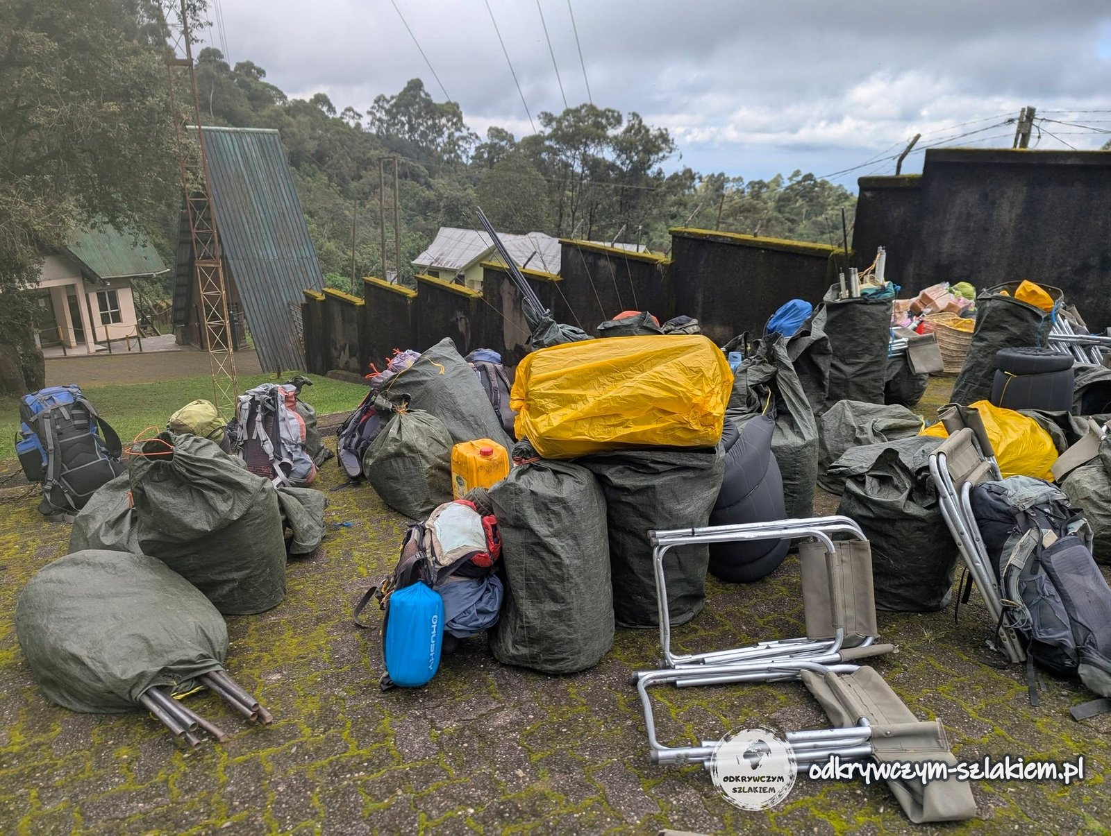
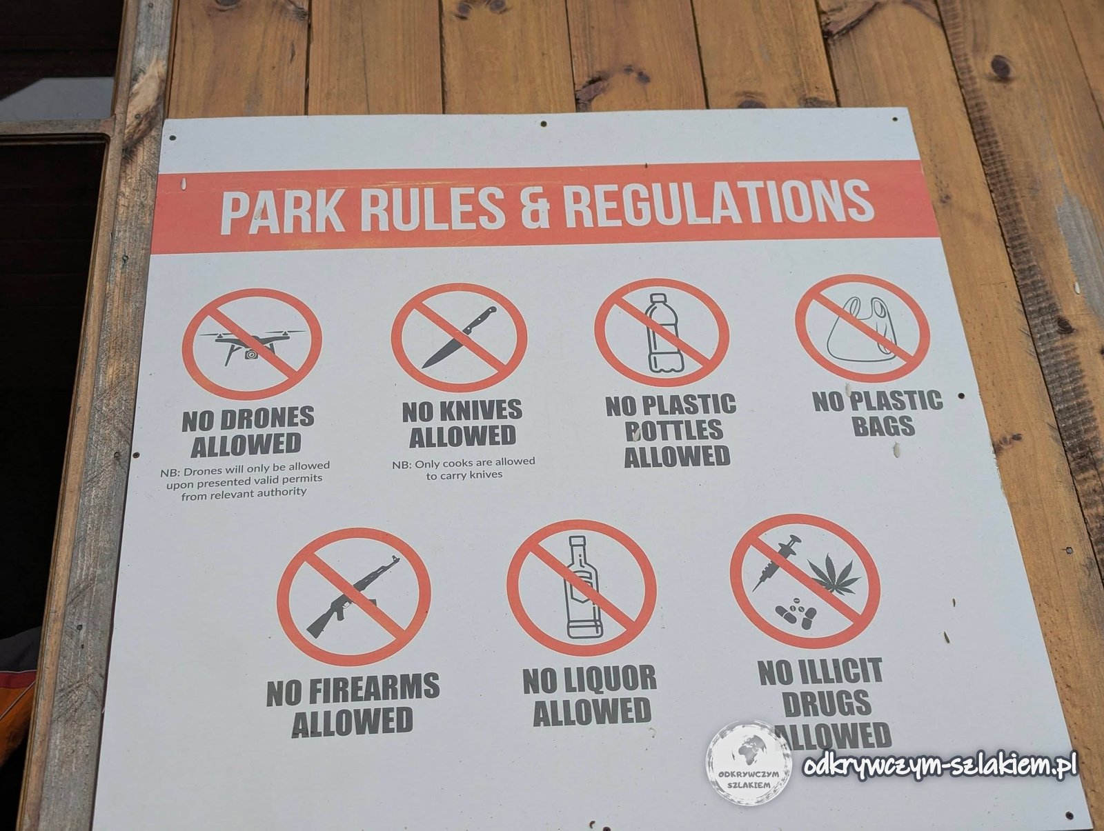
At the gate our duffel bags and daypacks were checked. The national park employee was mainly making sure nobody brought in plastic bottles – he took two small ones from me. Other things you are not allowed to take on the trail include plastic bags, knives, drones and alcohol.
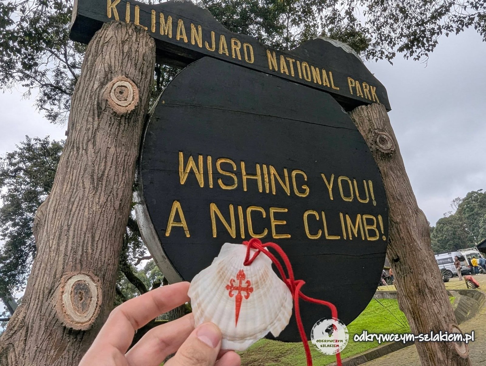
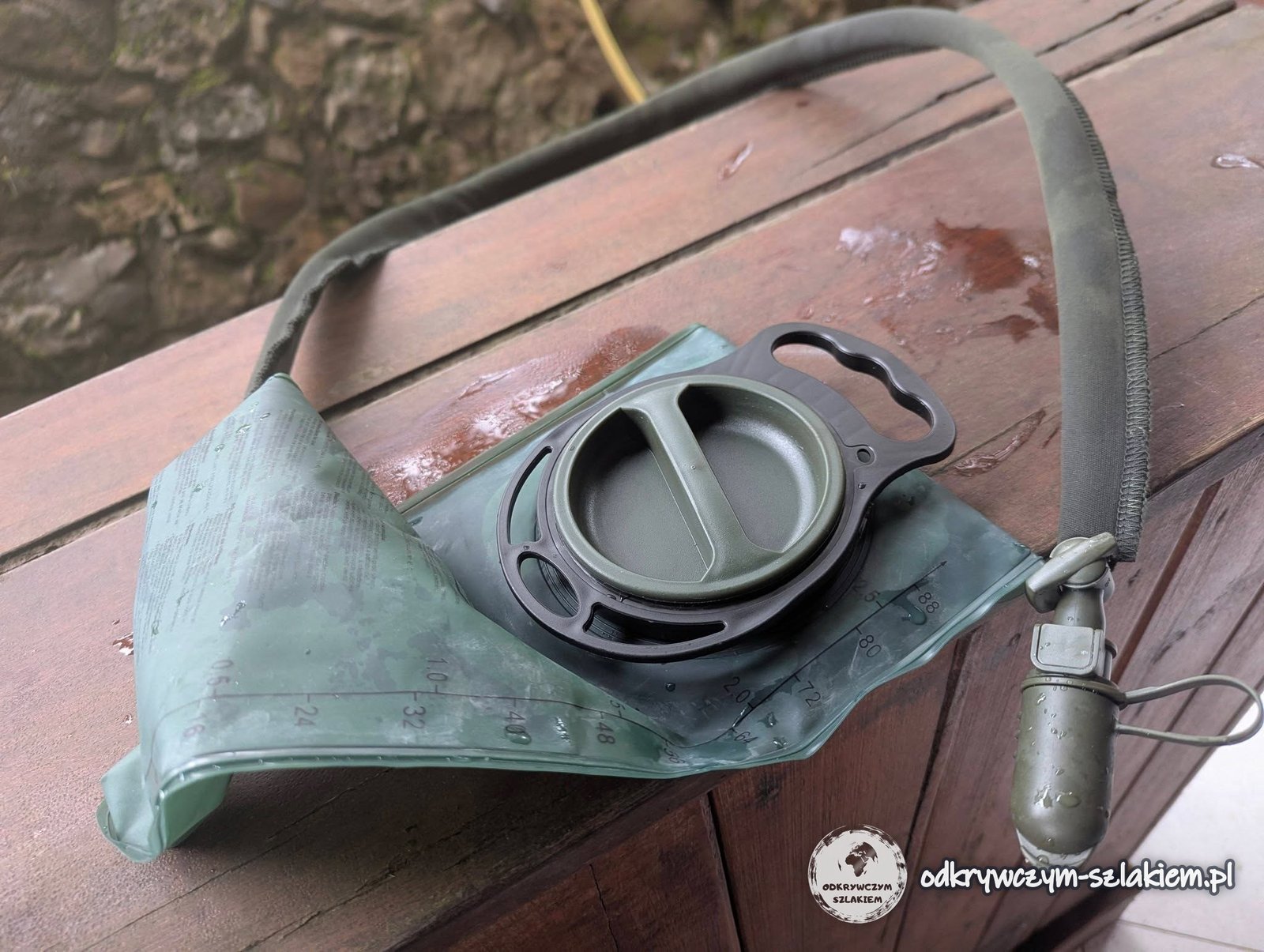
Right at the start it turned out that the water bladders of three people, including mine, were faulty. I bought a new one on the spot and that one did the job. The scallop shell of St James, which Anita gave me before the flight, came along with me.
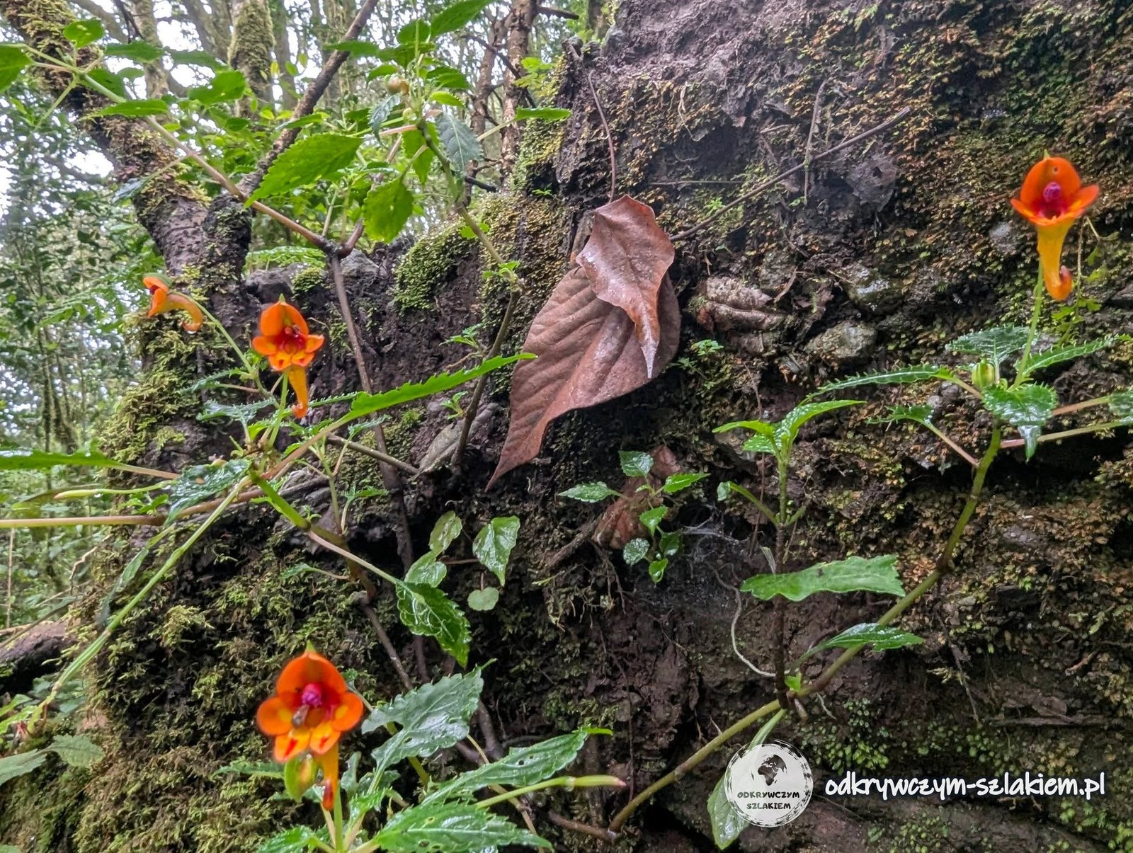
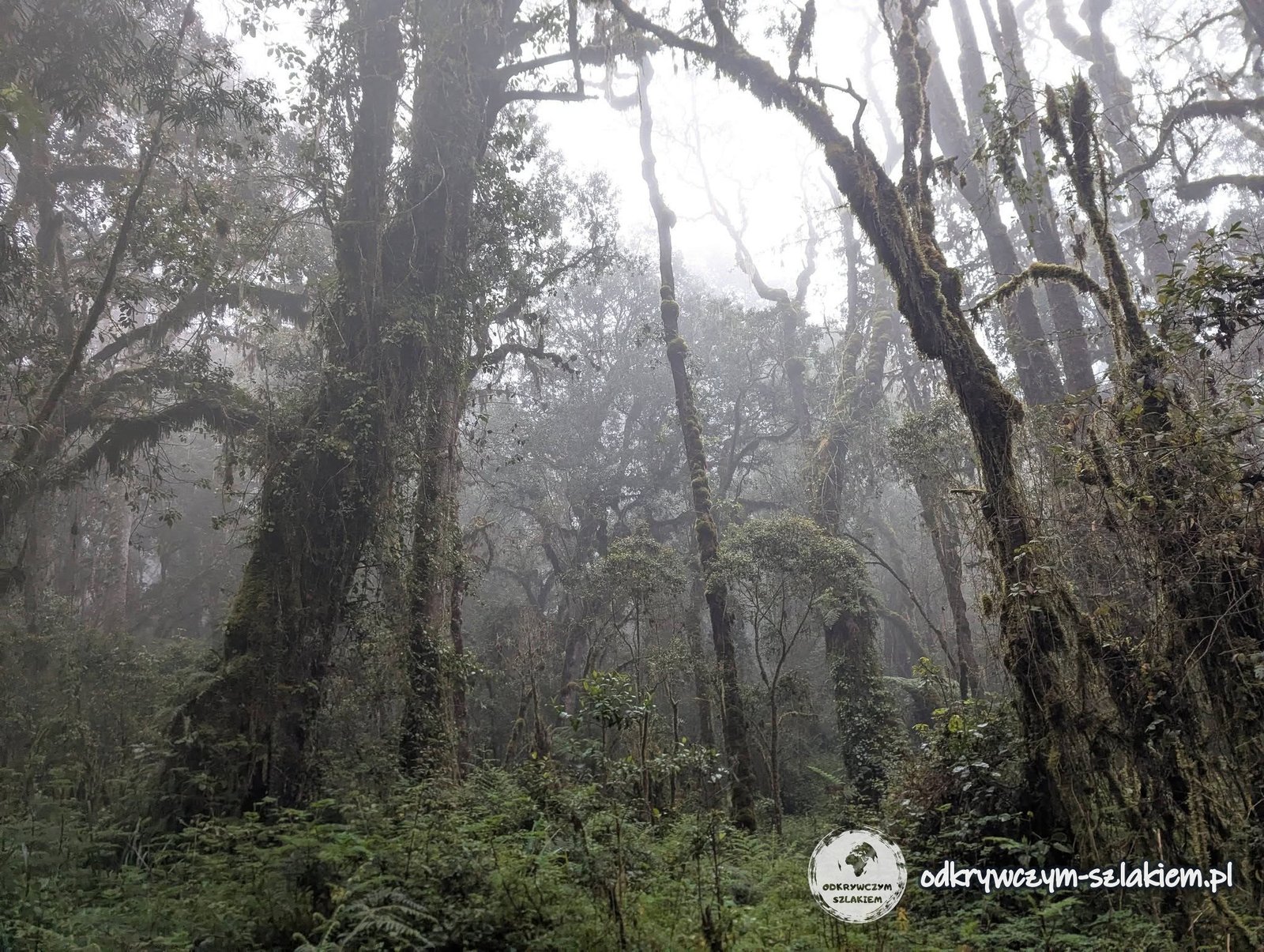
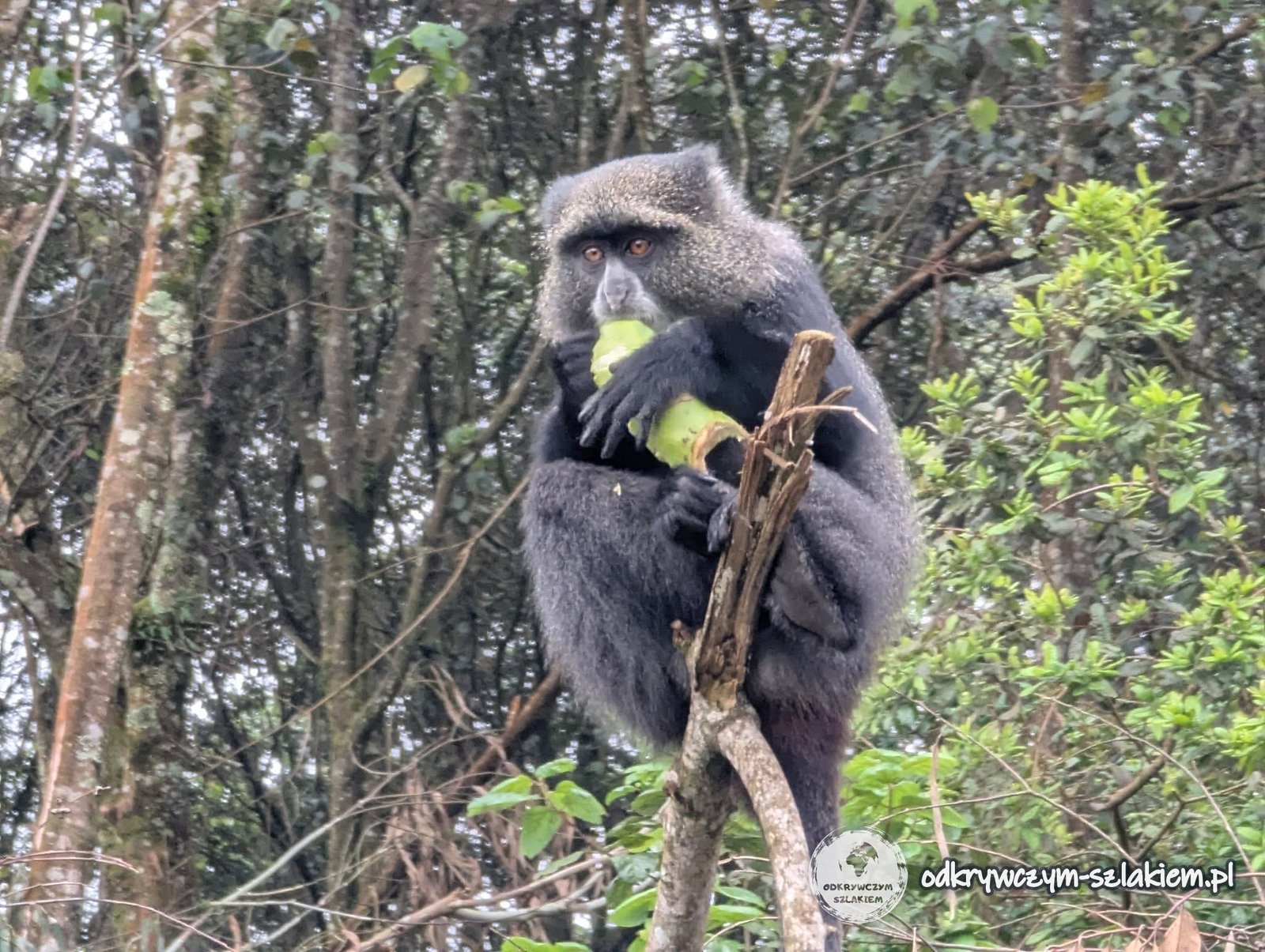
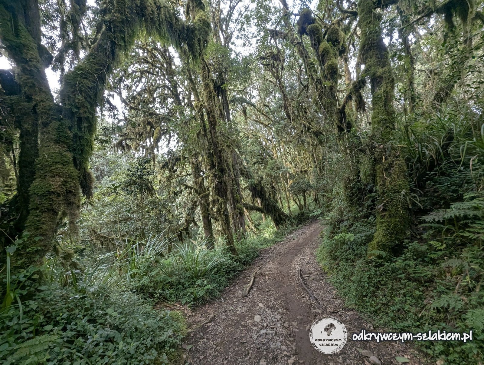
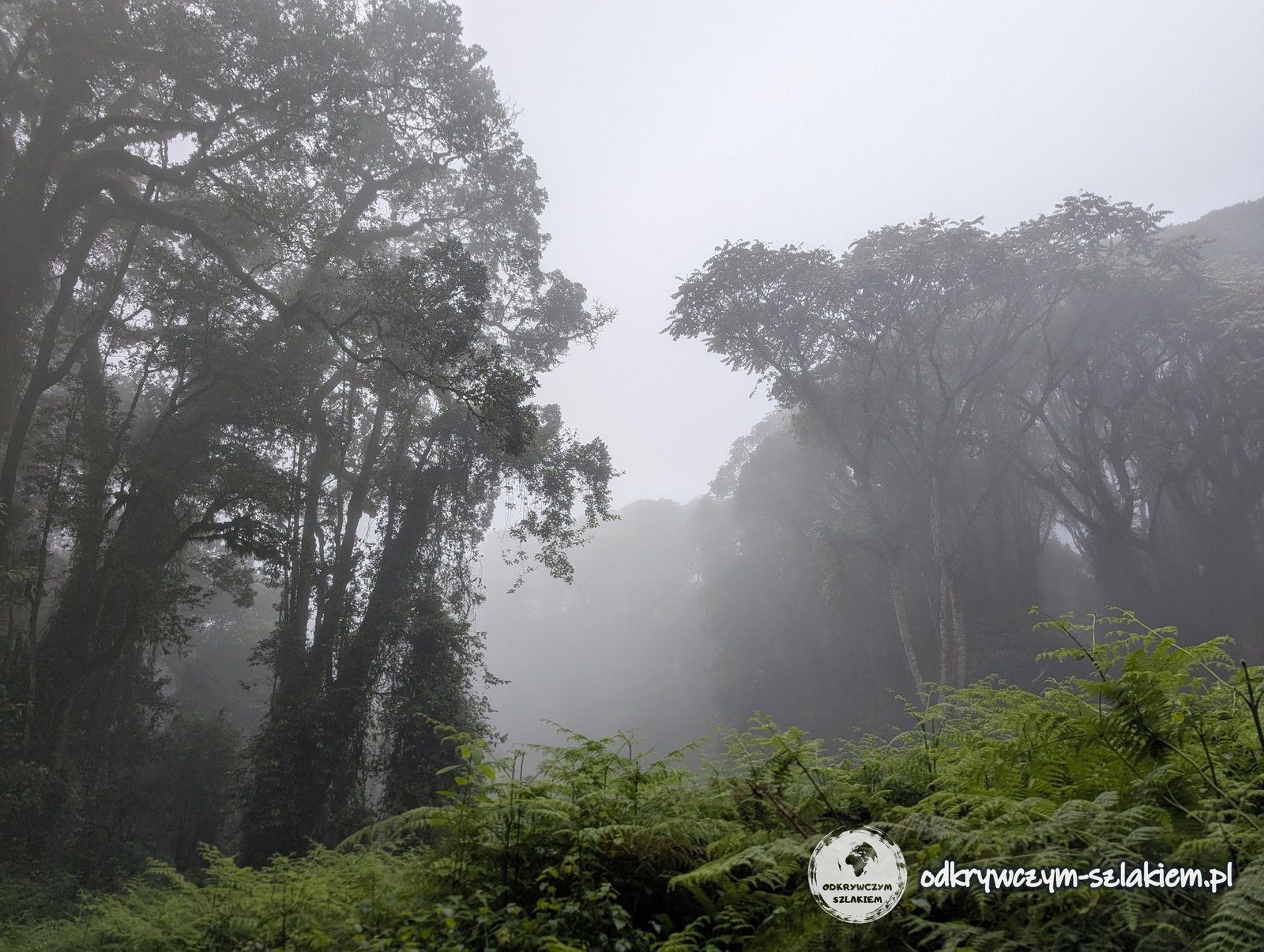
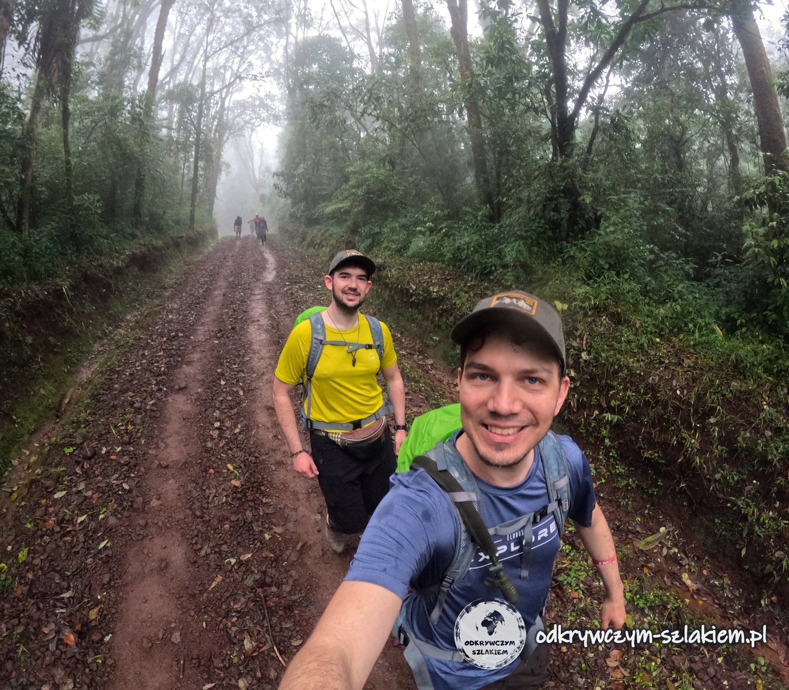
The first stage leads through the rainforest. We walked in fog practically the whole time, although to be honest, even without it we would not have seen much more in the dense forest. Twice we saw monkeys – and those were the wildest animals we met in this zone.
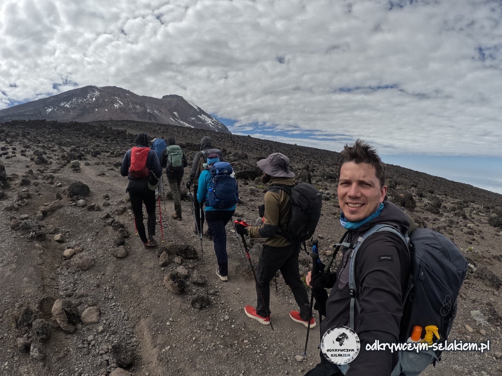
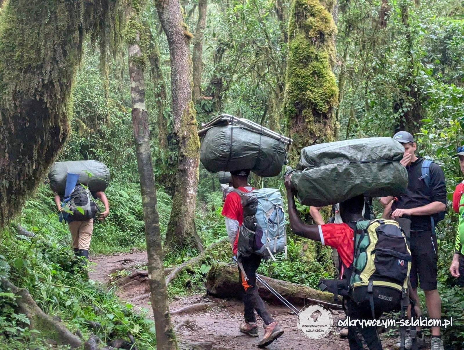
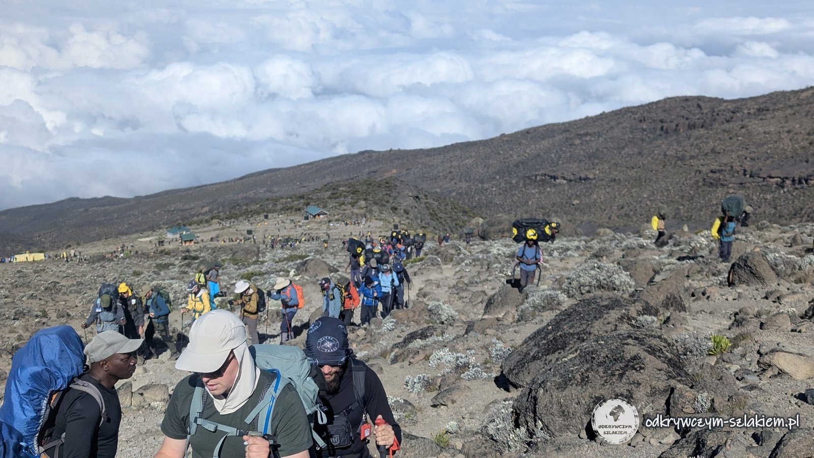
From the very beginning the guide kept repeating two things: we were to gain height slowly – “pole pole”, Swahili for “slowly, slowly” – and stay together. On the first day this still more or less worked, but from the second day the group clearly split into a front part and a back part. Porters carrying huge sacks, often on their heads, kept overtaking us the whole time.
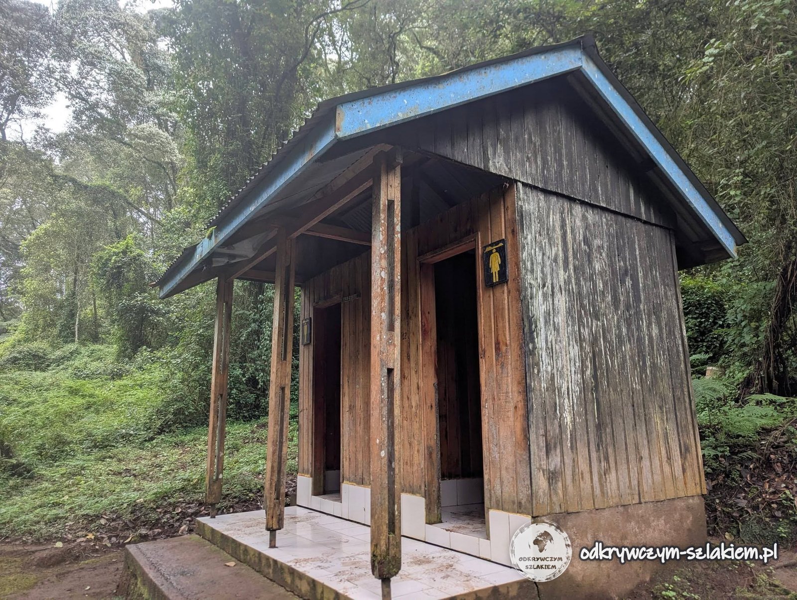
The higher we got, the more fog there was and, above all, mud – that day our boots got a proper baptism of mud. Along the trail there were simple wooden toilets (the ones with a hole in the floor are standard here).
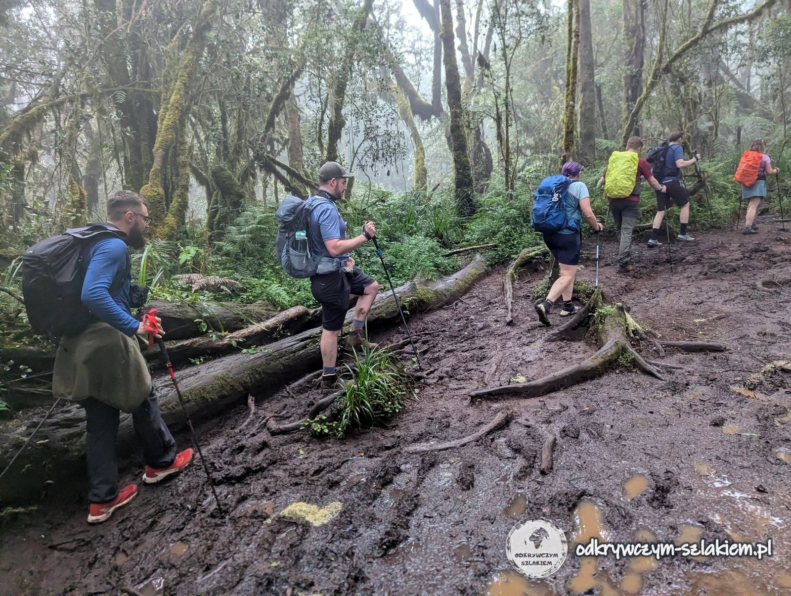
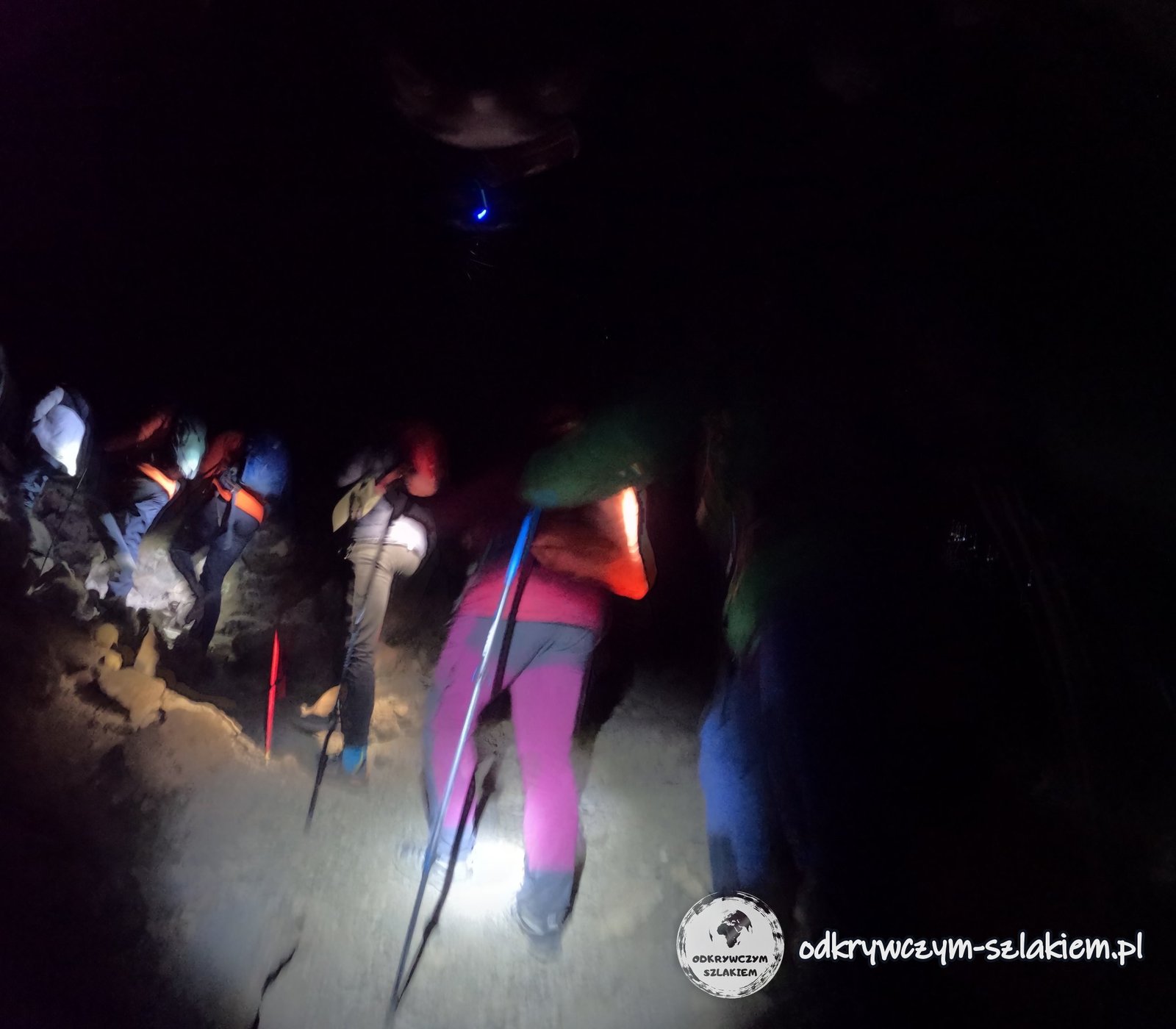
I made a beginner’s mistake: my backpack was too heavy (a few unnecessary things), and on top of that I had adjusted it badly. The last two kilometres were not easy for me and I reached camp with an aching neck and shoulder. Because we had set off late, we covered the final stretch in the dark, by the light of our headlamps – we reached Machame Camp after 19:00.
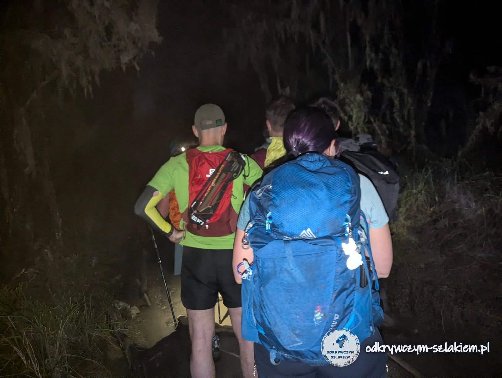
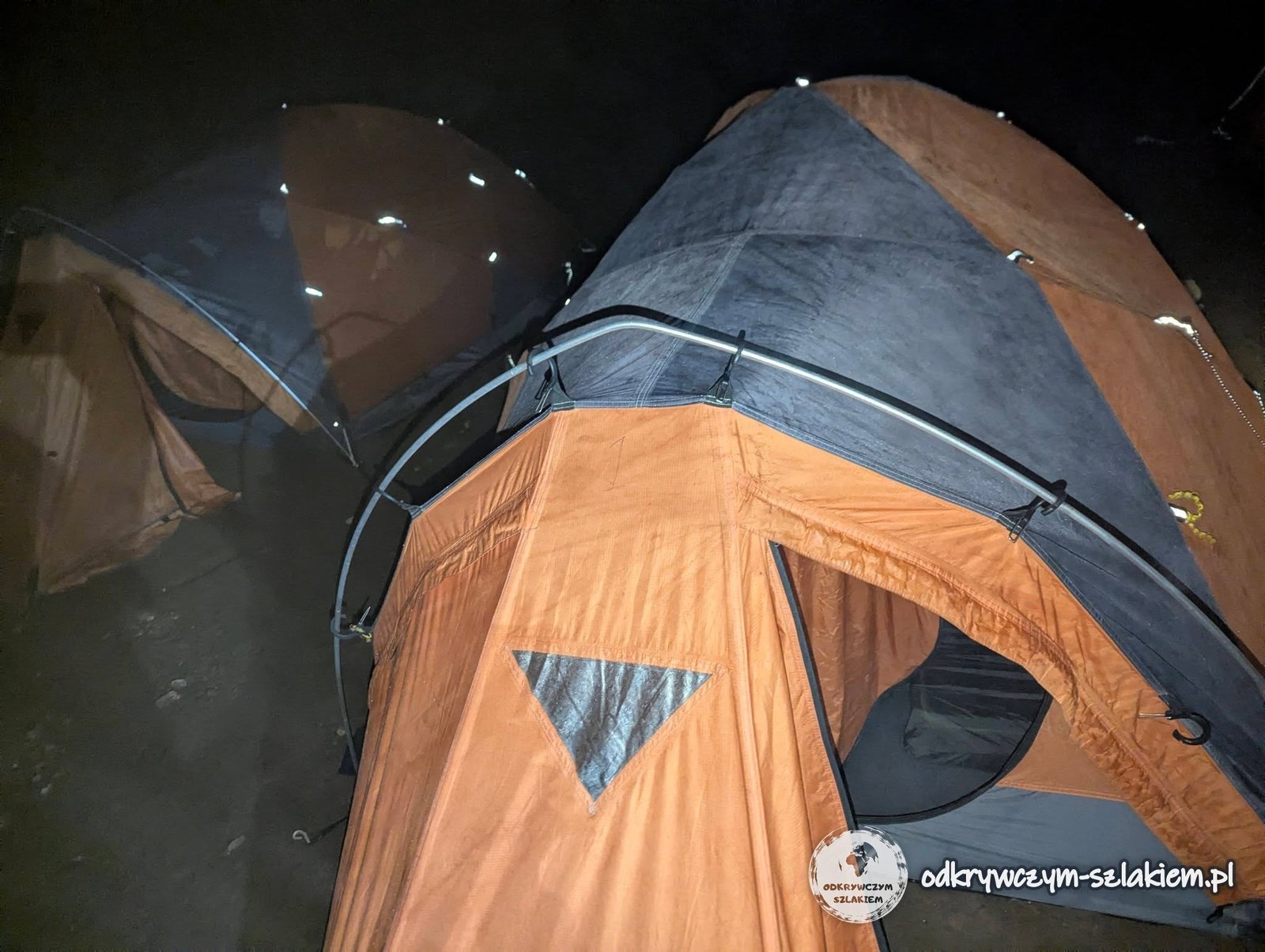
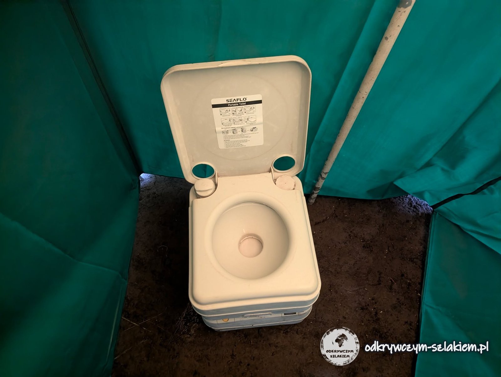
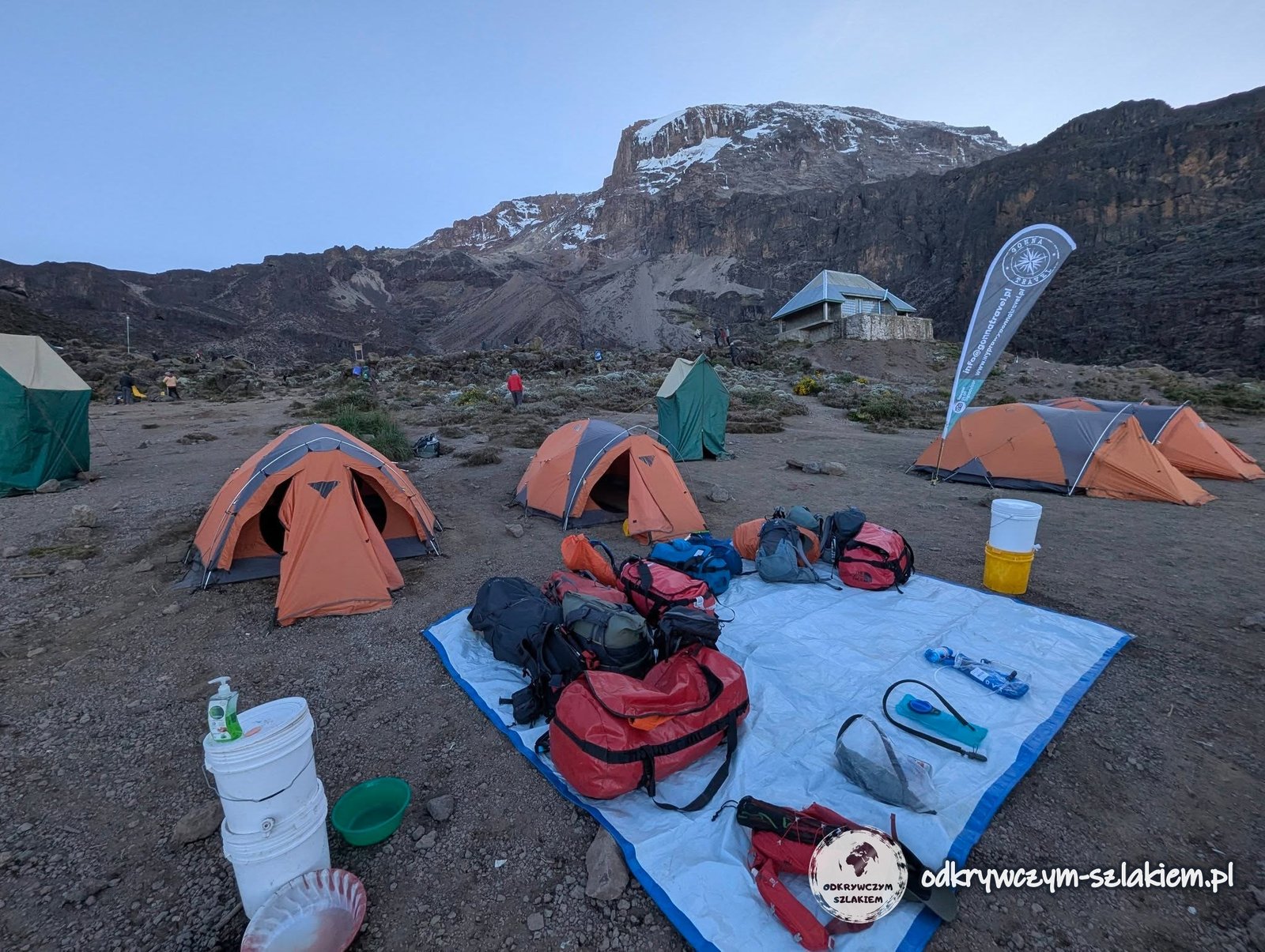
In total we walked 11 km and climbed about 1200 m in roughly 5 hours. The tents were already up when we arrived, and dinner was served shortly afterwards. Our camp also had a “civilised” portable toilet. The sky was beautiful, full of stars, but we were too tired to watch them, and the damp made the cold worse – all we wanted was to hide in the tent as quickly as possible. The first shower with wet wipes done – it is better than you might think.
Day II: above the clouds to Shira Cave Camp
On Sunday the wake-up was at 6:00, and to start with we got a hot drink. At 7:00 we had breakfast, then it was time for “washi washi”, a quick wash of face and teeth at a simple camp tap, and at 7:30 we were ready to go. The night was not the best – we woke up many times. Luckily the pain in my shoulder was gone by the morning.
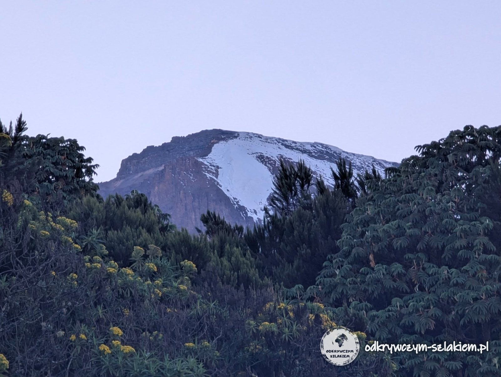
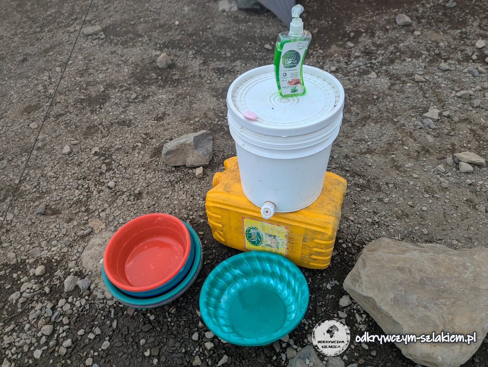
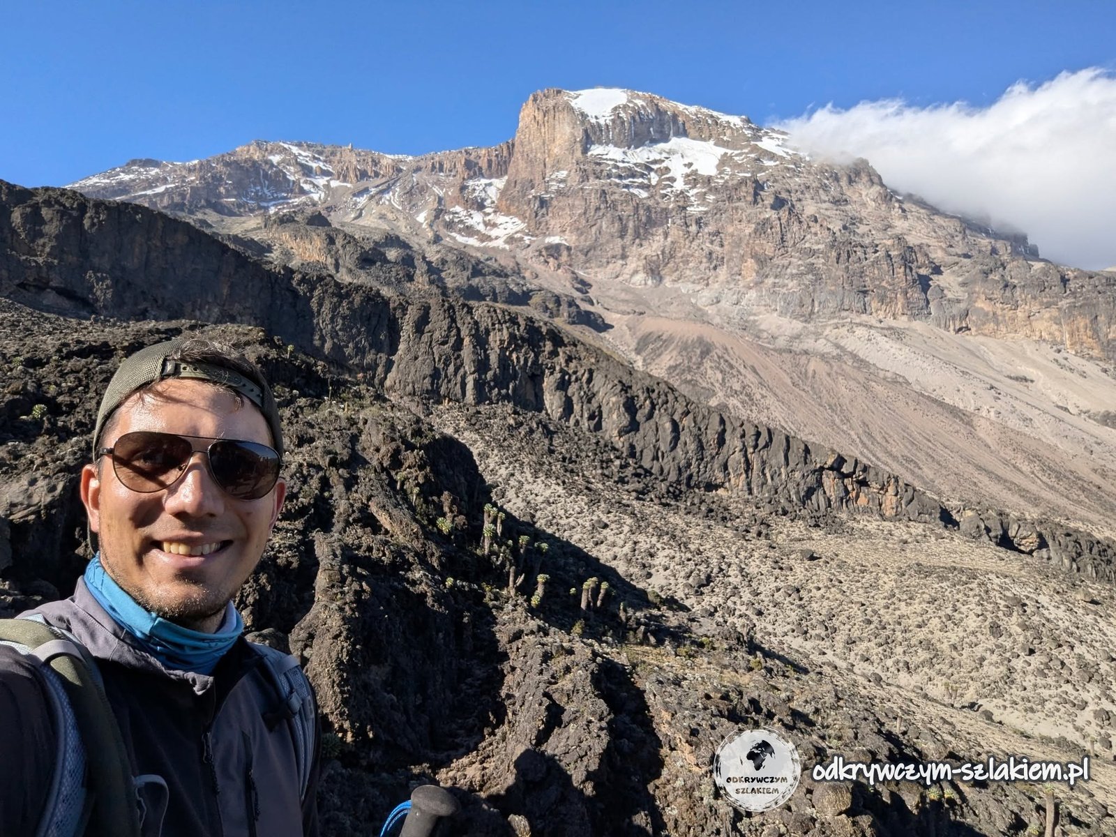
From early morning the summit of Kilimanjaro was visible from the camp. This time we got all our things organised quickly, and we left the forest zone very soon. The morning was chilly, but once we were above the clouds the temperature rose fast and we could take off a few layers.
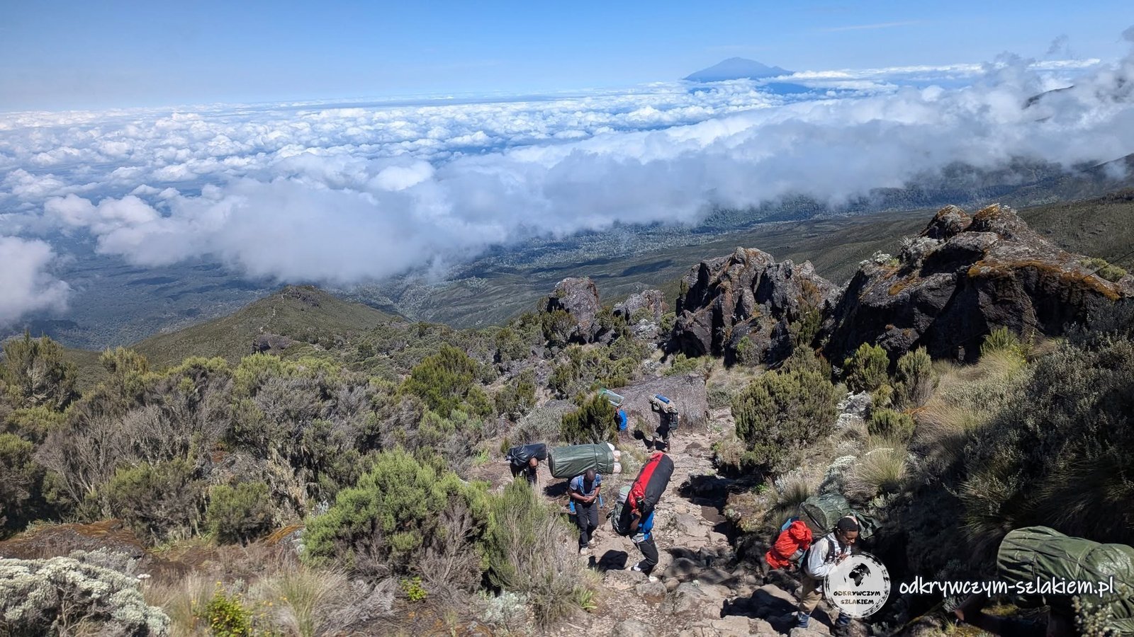
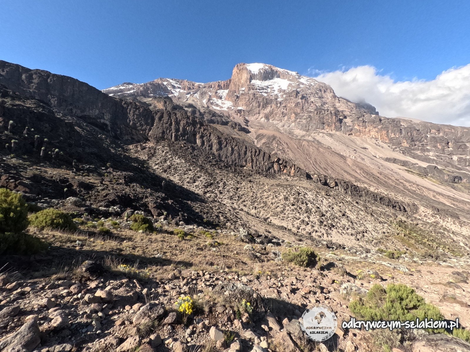
After a while we reached a rocky viewpoint with a great view of Kibo, Kilimanjaro’s main summit, of the volcano Meru (4566 m above sea level) – which from below had always been hidden in clouds – and of Shira Peak (3962 m above sea level), the lowest of Kilimanjaro’s three main peaks.
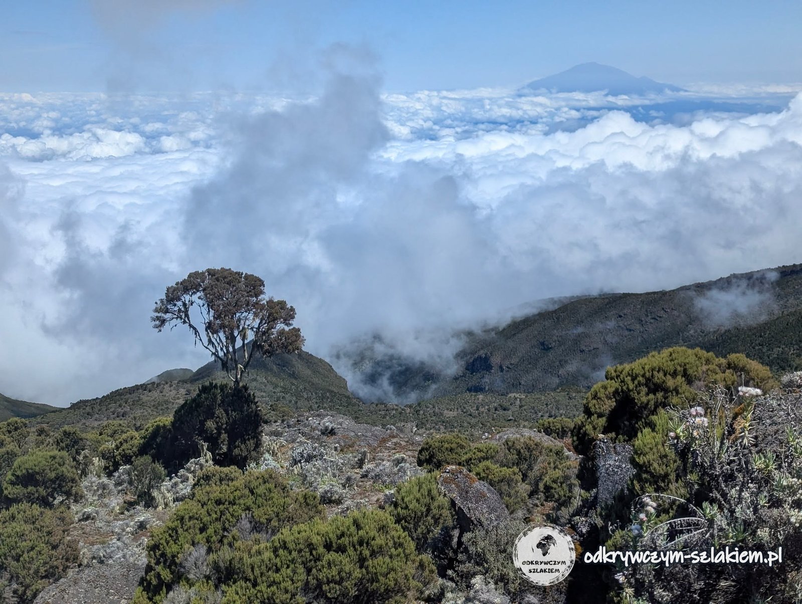
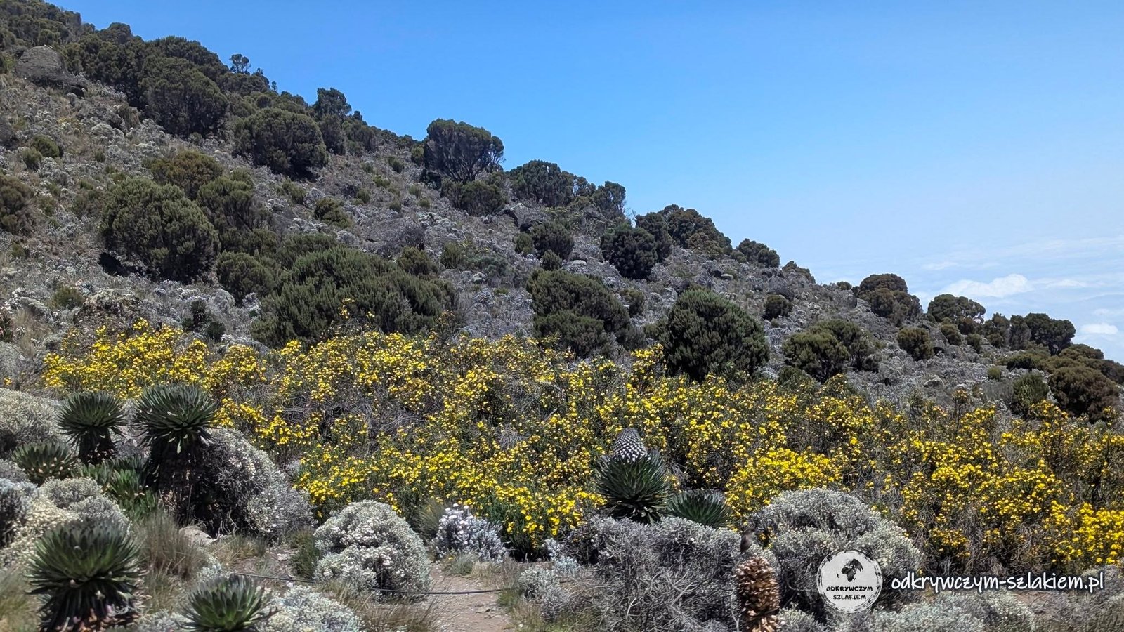
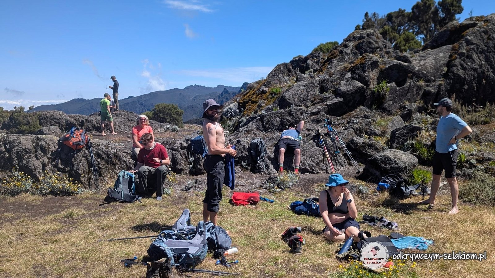
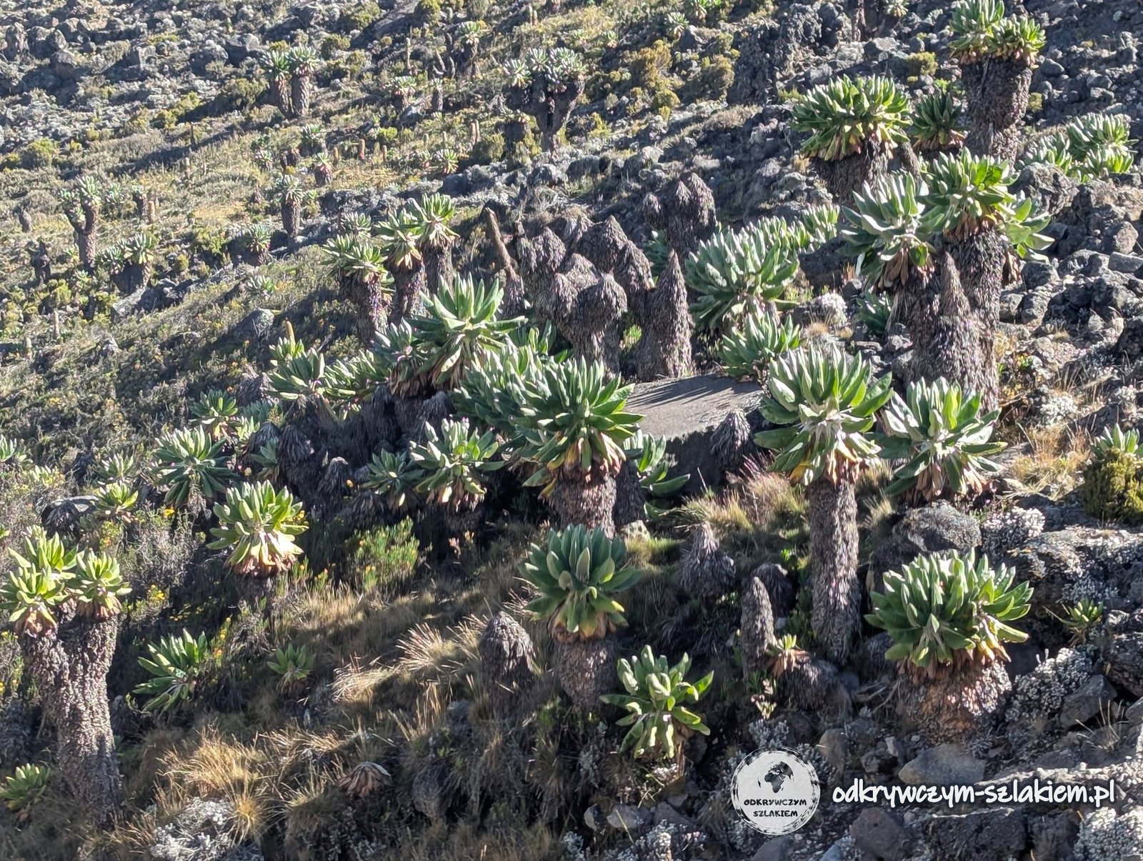
On the way we stopped for coffee and biscuits, relaxing for a moment on the grass in full sun – that was probably the most “chilled” moment of the whole expedition. The vegetation changed with altitude. Among other things, giant groundsels (Dendrosenecio kilimanjari) appeared – plants that grow only on the slopes of Kilimanjaro and reach several metres in height, and from a distance look like overgrown cacti. We also remembered to drink: at altitude you lose more water than usual, so you have to drink even when you do not feel like it.
The ground became more and more rocky. In total that day we walked about 7 km and climbed about 900 m – from about 2800 m to Shira Cave Camp at about 3750 m above sea level.
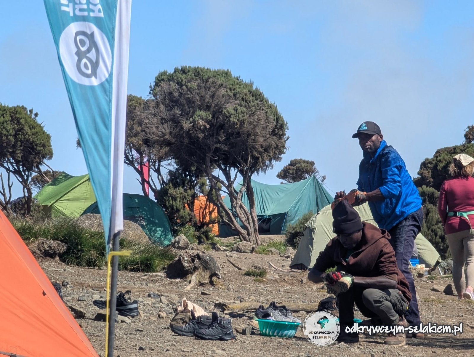
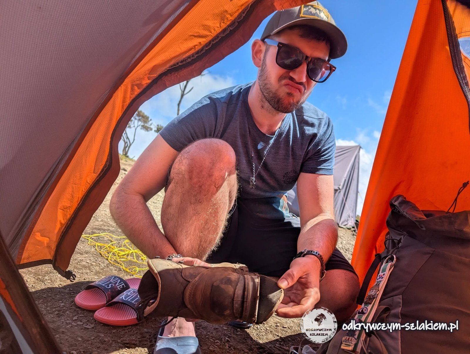
At lunch a surprise awaited us: the crew had collected our boots from the tents and cleaned off the mud from the day before. Meanwhile Michał’s hiking boots started falling apart. Luckily one of the agency’s staff sewed them up – for a tip, of course.
Those who wanted to, me included, went to the nearby Shira cave, where climbers heading for Kilimanjaro still slept as late as the 1990s. Inside there is still the spot of an old campfire, where people could warm up and cook. A little higher up we managed to get a signal and send our loved ones a message that we were alive – connectivity was really poor along the whole trail.
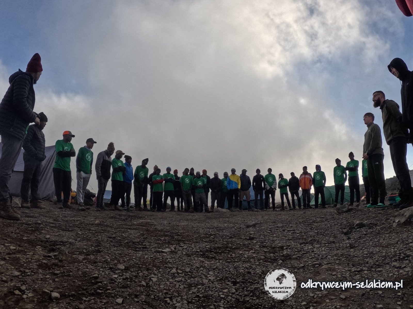
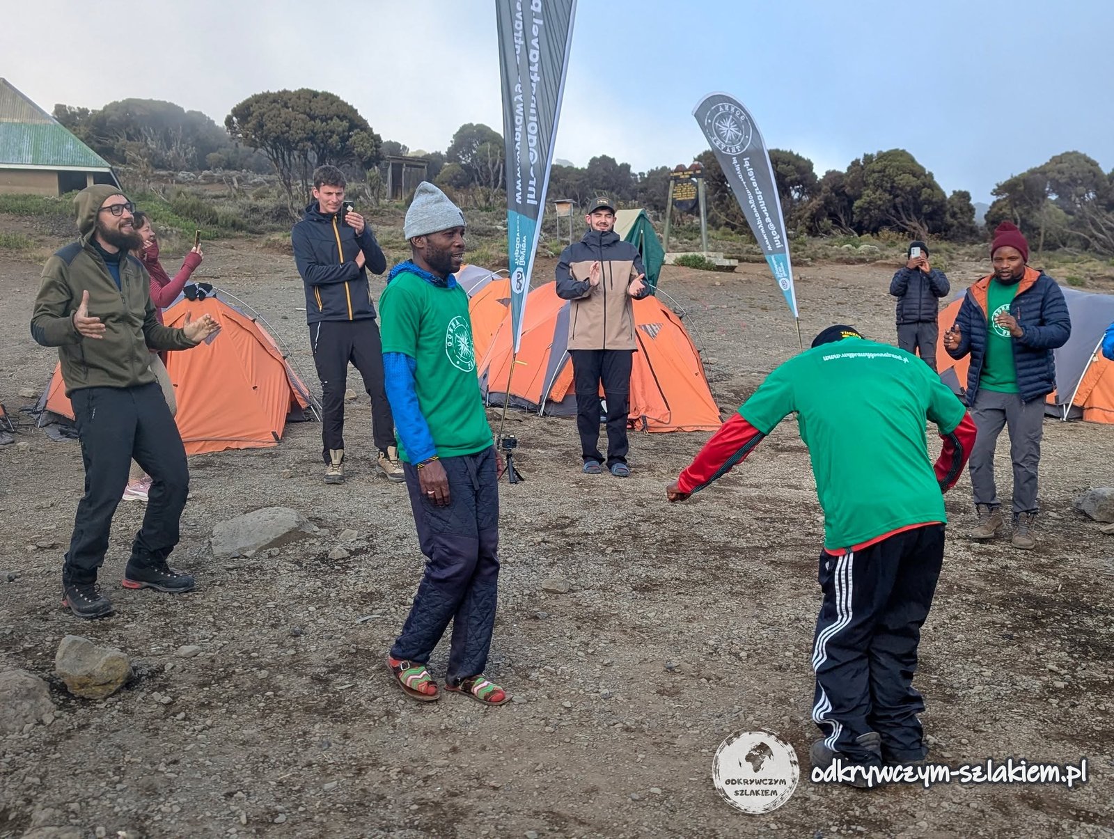
When we wanted to take a nap before dinner, singing started coming from outside. It turned out that the agency wanted to officially welcome us on the trail: there was dancing and singing (the Swahili song “Jambo” came back again and again), and each of us was introduced by name. That was also when I found out who my porter was. A very nice gesture, although – as it turned out – many agencies welcome their groups in a similar way.
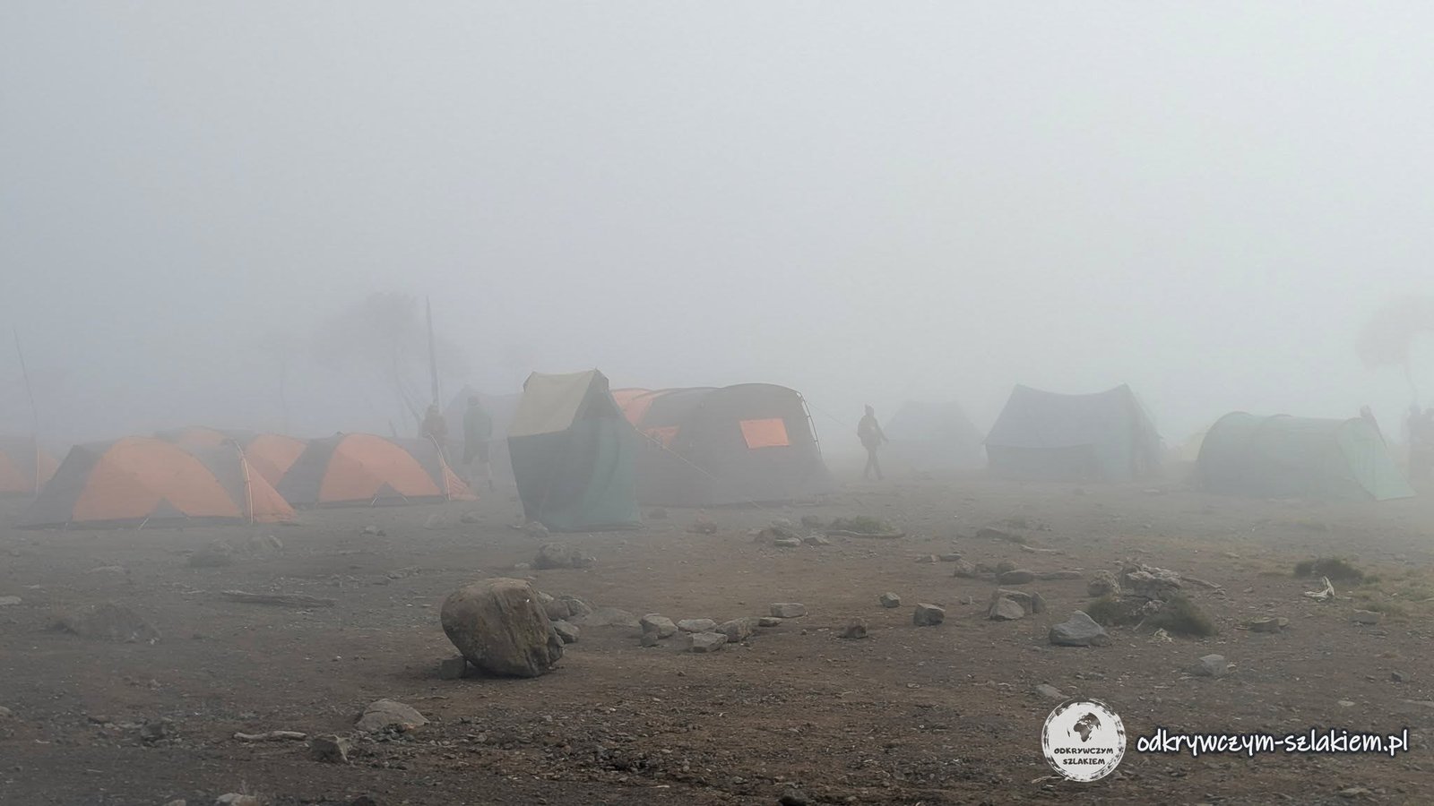
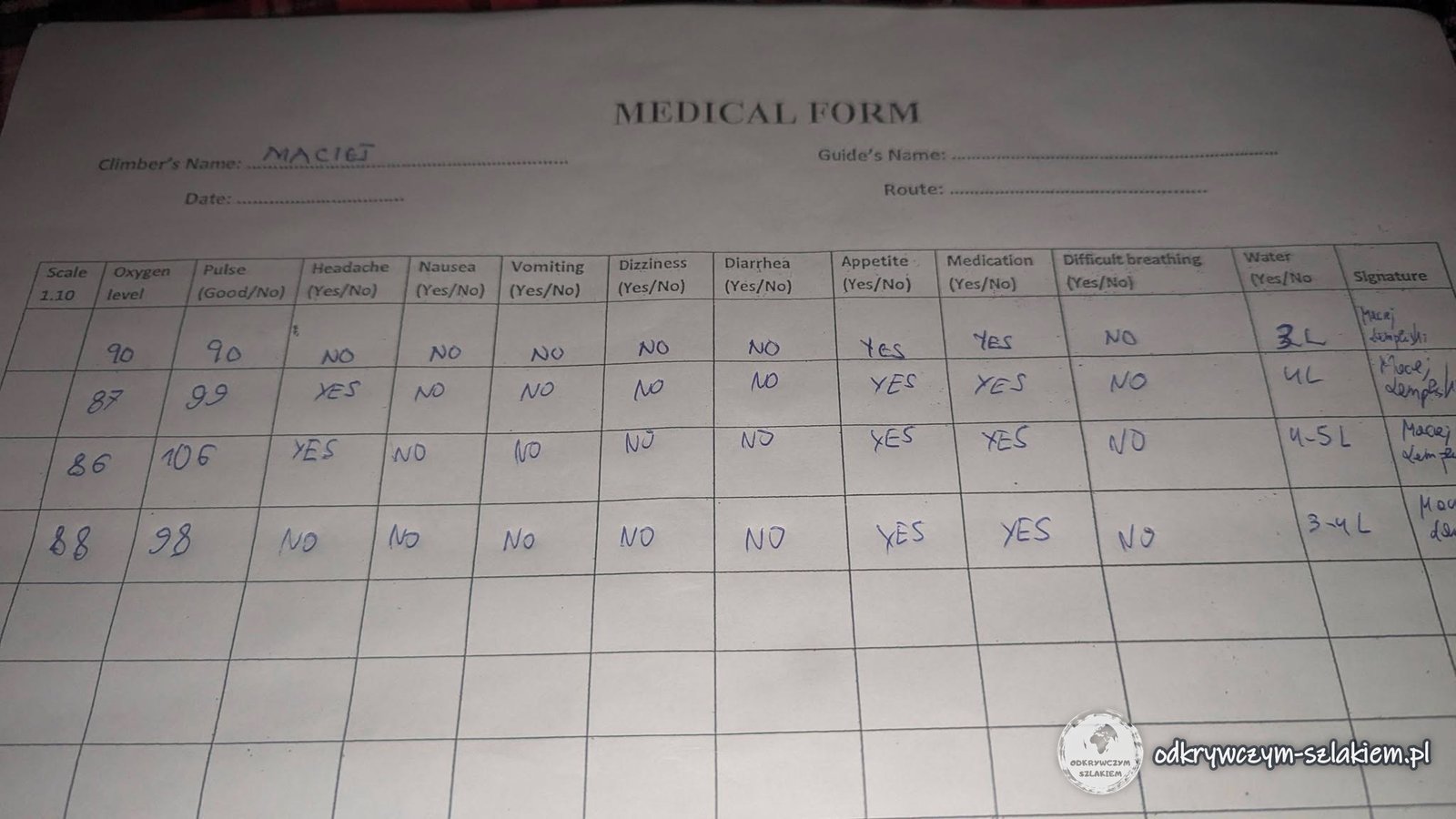
For a long time we had a great view of the summit from the camp, but in the evening the fog rolled in – a few minutes were enough for the whole panorama to disappear behind the clouds. I got my first headaches, which is nothing unusual at this altitude. Every evening our oxygen saturation (the level of oxygen in the blood) and pulse were measured: on the first day I had a saturation of 90% and a pulse of 90, on the second – 87% and 99.
The day in brief: about 7 km, +900 m elevation gain, start at about 2800 m, overnight at about 3750 m a.s.l.
Day III: Lava Tower (4630 m) and Barranco Camp
The third day is a good moment to describe our daily morning ritual. After the wake-up at 6:30 we got coffee or tea brought right to the tent. Then we had to hand over our water bladders to be filled, pick our clothes for the day and pack the main bag and the daypack so that everything was ready before breakfast at 7:00. Only then did we sit down “calmly” to eat, often finishing in a hurry, because we set off at 7:30. Fitting everything into the bag was not quick at all – at least for Michał and me, because the others usually managed it faster.
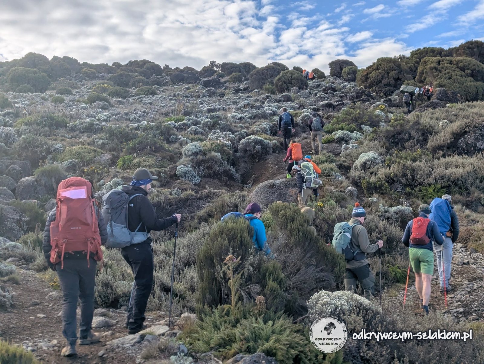
From Shira Cave Camp (about 3750 m above sea level) we first walked through heathland and later over increasingly rocky volcanic terrain that looked like a desert of stones.
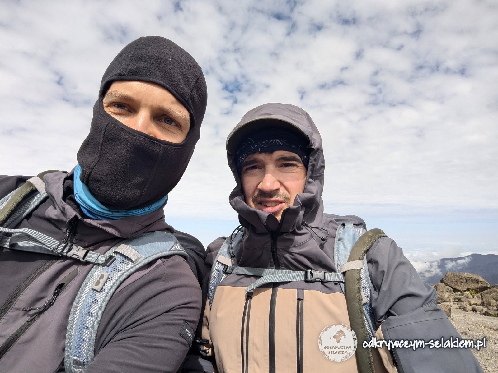
For the first time we dressed much more warmly: in my case thermal underwear, a hiking fleece, a softshell and, at first, a windproof jacket. As we climbed I gradually shed layers, although in the stronger gusts the balaclava came in handy for the first time. Just before Lava Tower it got really hot and the sun took its toll on us.
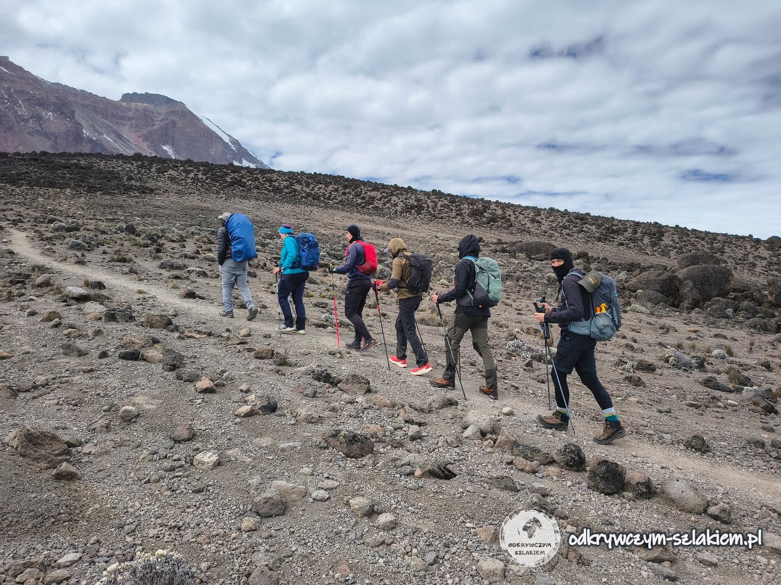
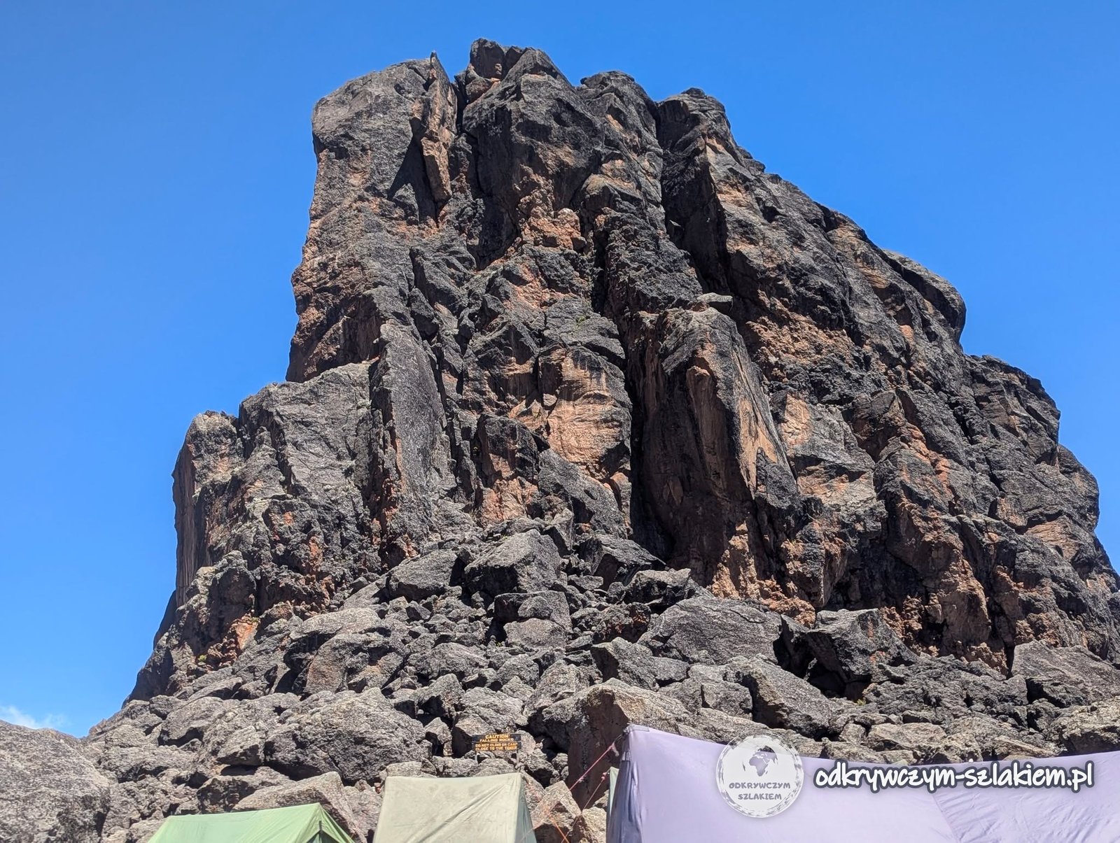
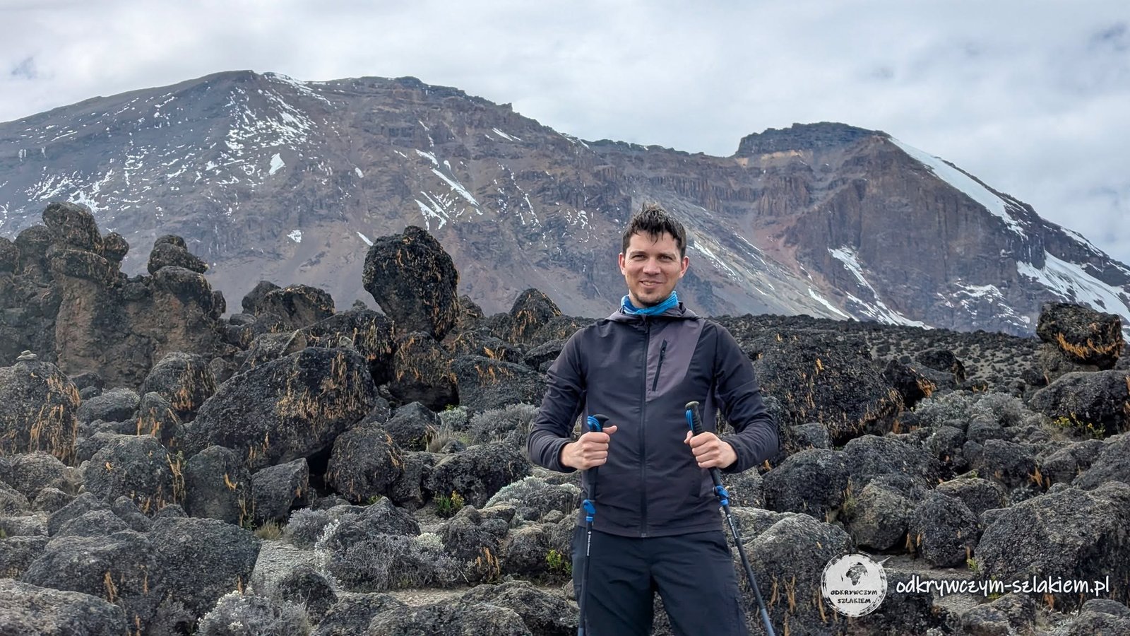
The closer we got to Lava Tower, the harsher the landscape became. Even so, there was always something that made you want to stop and take a picture – I joked that it annoyed me how beautiful it was here, because I kept having to stop.
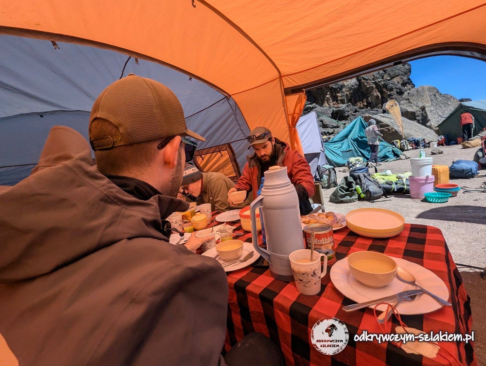
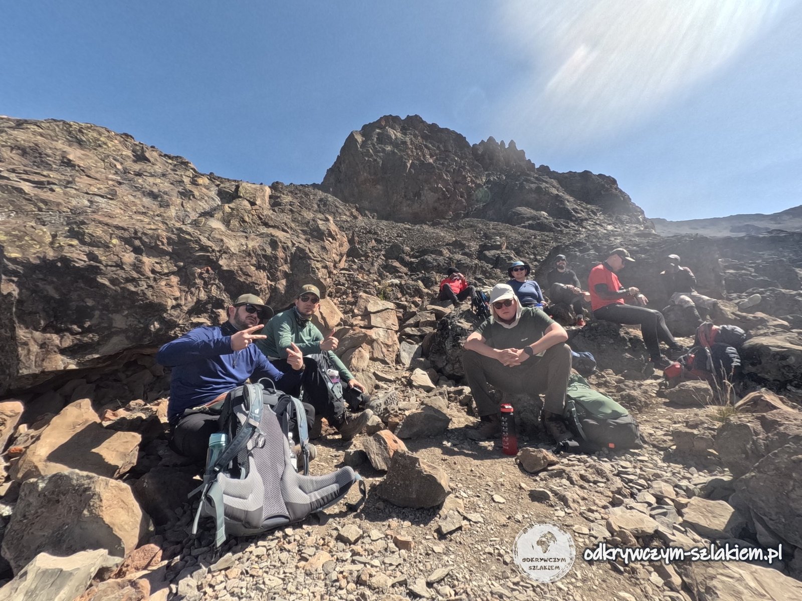
The highest point of the day was Lava Tower Camp at about 4630 m above sea level. The agency set up a lunch tent and a portable toilet for us here. We did not sleep at Lava Tower, though – the place serves above all as an important acclimatisation point, following the rule “climb high, sleep low”.
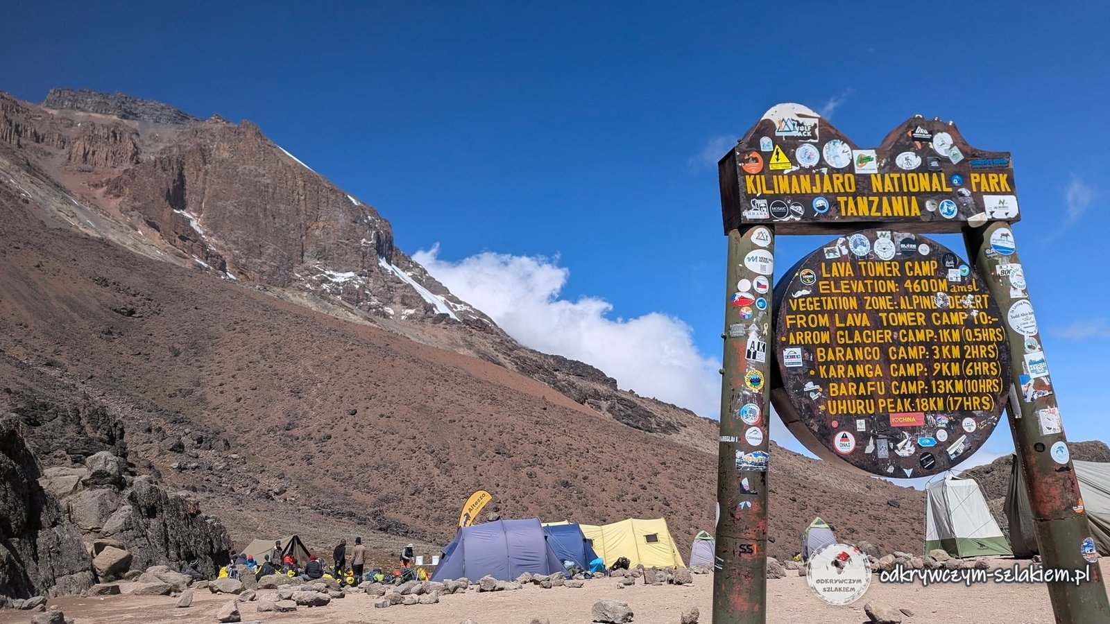
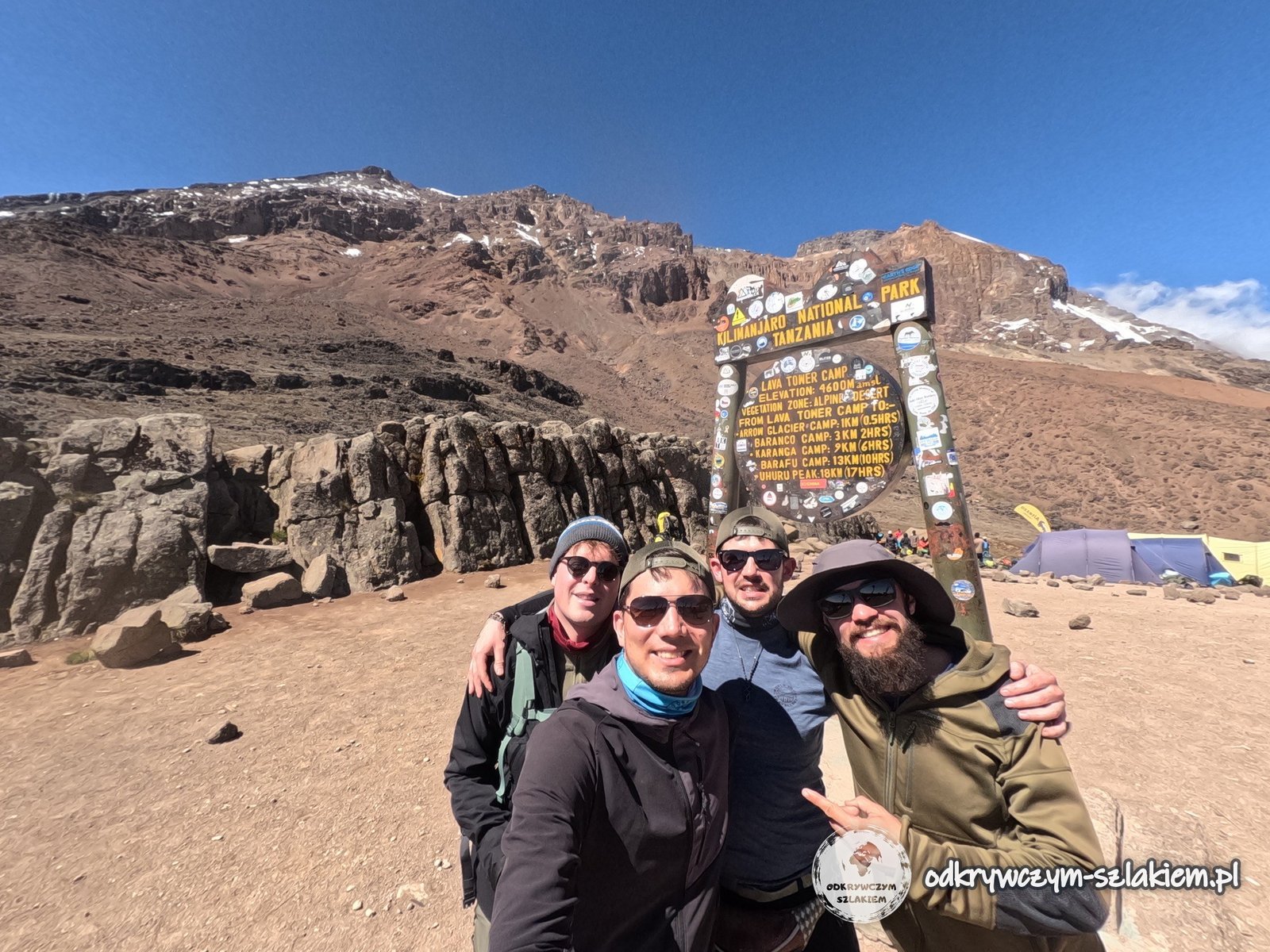
From Lava Tower on I had a bigger problem with the altitude. A severe headache set in, easing off every now and then only to come back twice as hard a moment later. I paid much more attention to drinking – that day I drank about 4–5 litres of water in total. The guides advised me to simply drink more instead of taking painkillers, but others in the group took pills and felt fine – looking back, I suffered for nothing.
After that, most of the route went downhill, although there were also climbs – up, down and up again. At one point a cloud rolled in, which let us hide from the sun for a while; it moved on soon afterwards. On the way we saw the first small waterfalls and whole slopes covered with giant groundsels.
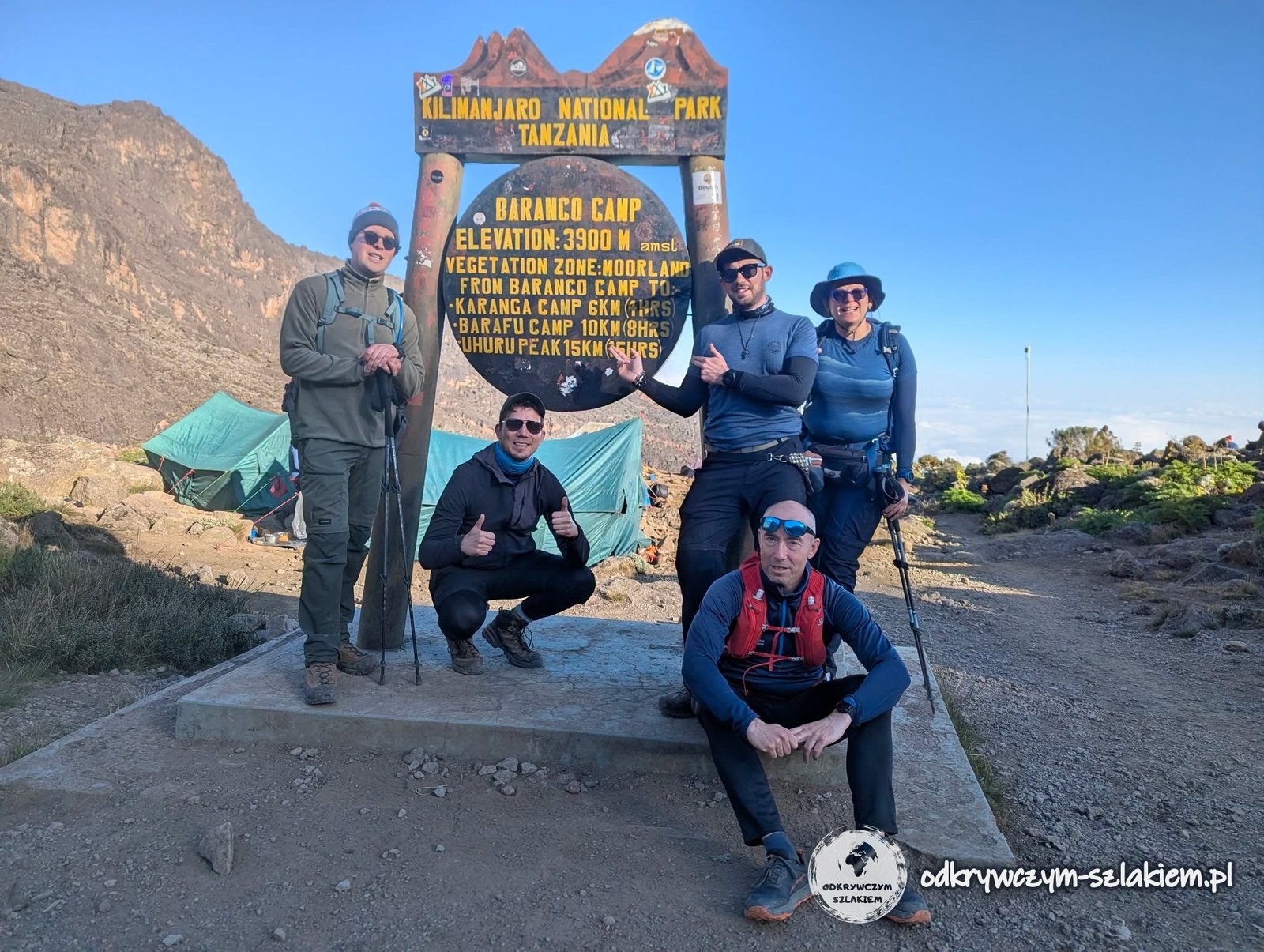
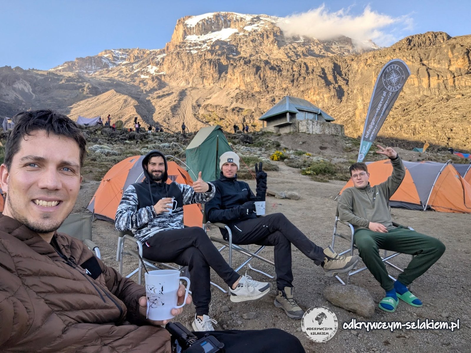
I reached Barranco Camp (3900 m above sea level according to the sign) very tired and with a really bad headache – I felt like a zombie. My friends brought me tea and pills, and after a while things started to improve. That day I also had my worst readings: 86% saturation and a pulse of 106. The view from the camp of the Kibo wall made up for all the pain, though.
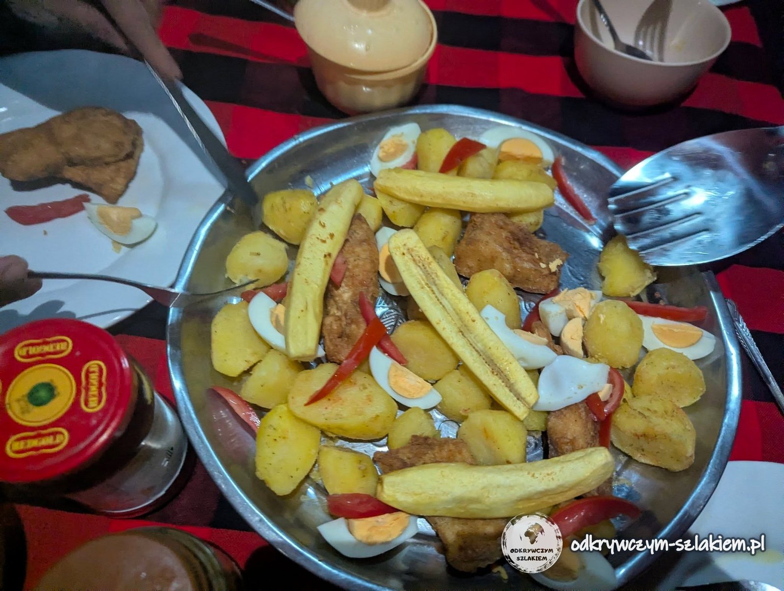
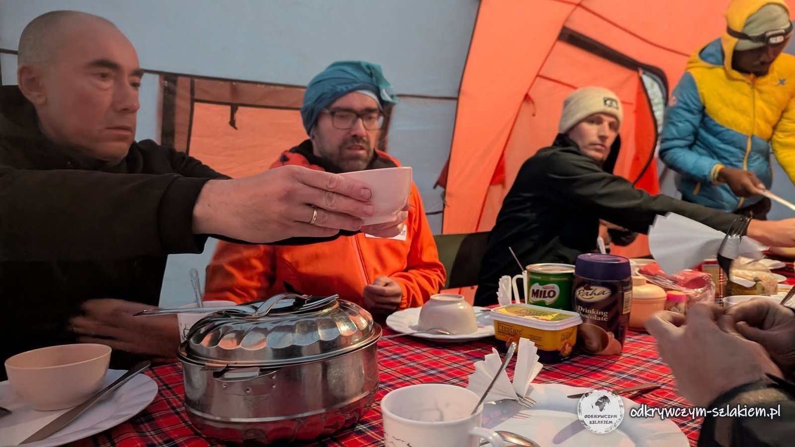
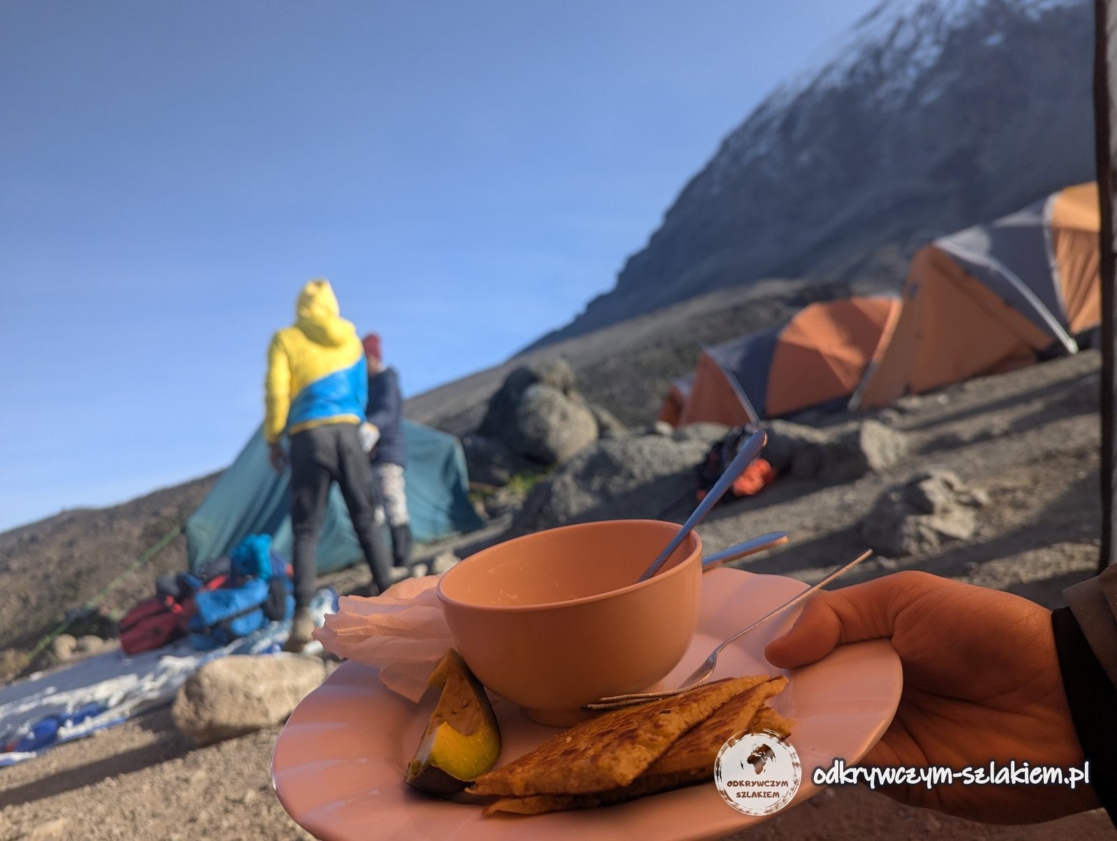
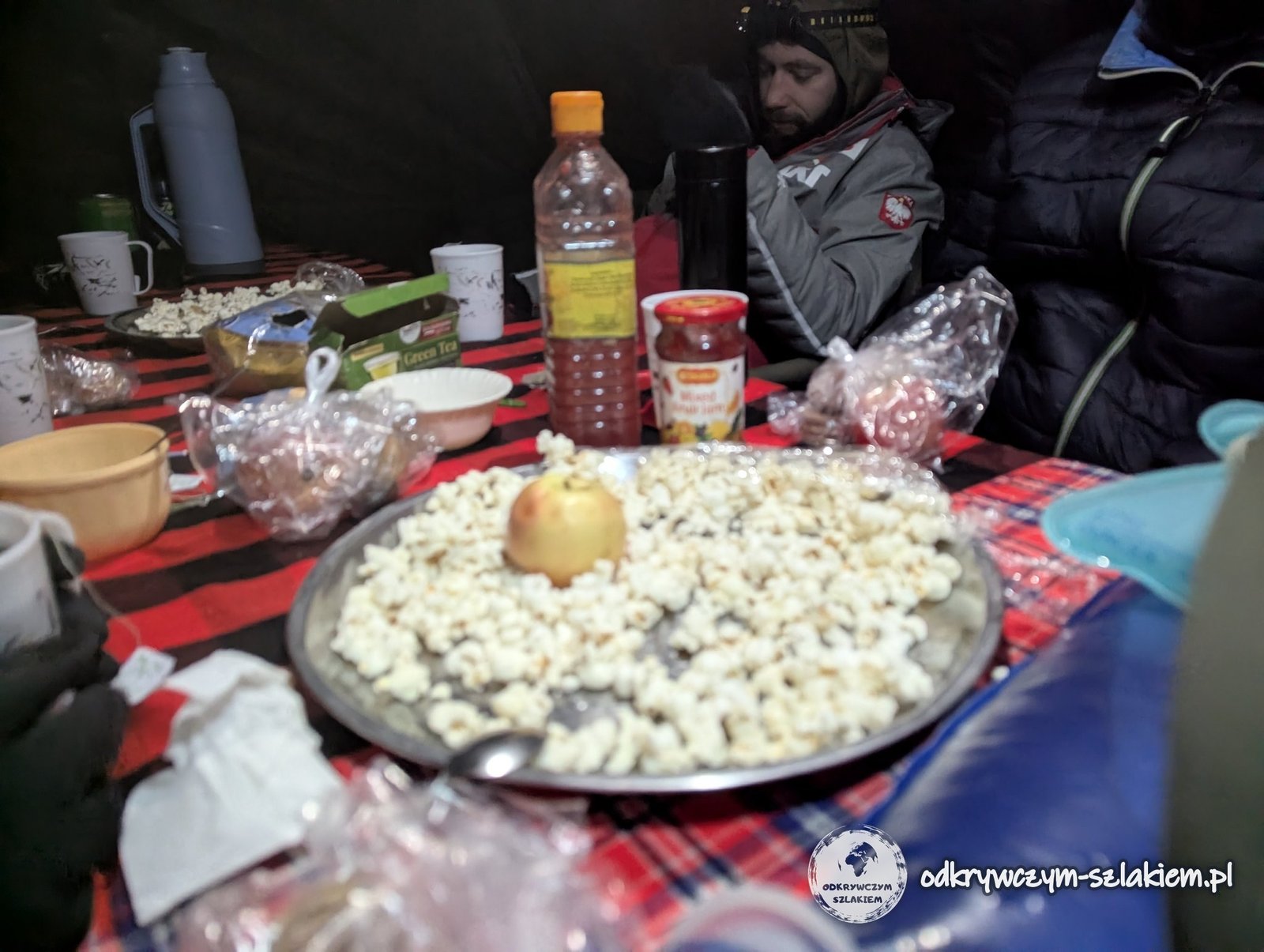
Despite the field conditions, the agency tried to vary the meals. Some items on the menu were fixed, such as soup, but that evening we even got napkins artfully tucked into our forks – for a moment you could feel like you were in an exclusive restaurant.
The day in brief: 11.3 km, +835 m elevation gain, −644 m descent, highest point about 4630 m a.s.l.
Day IV: Barranco Wall and Karanga Camp
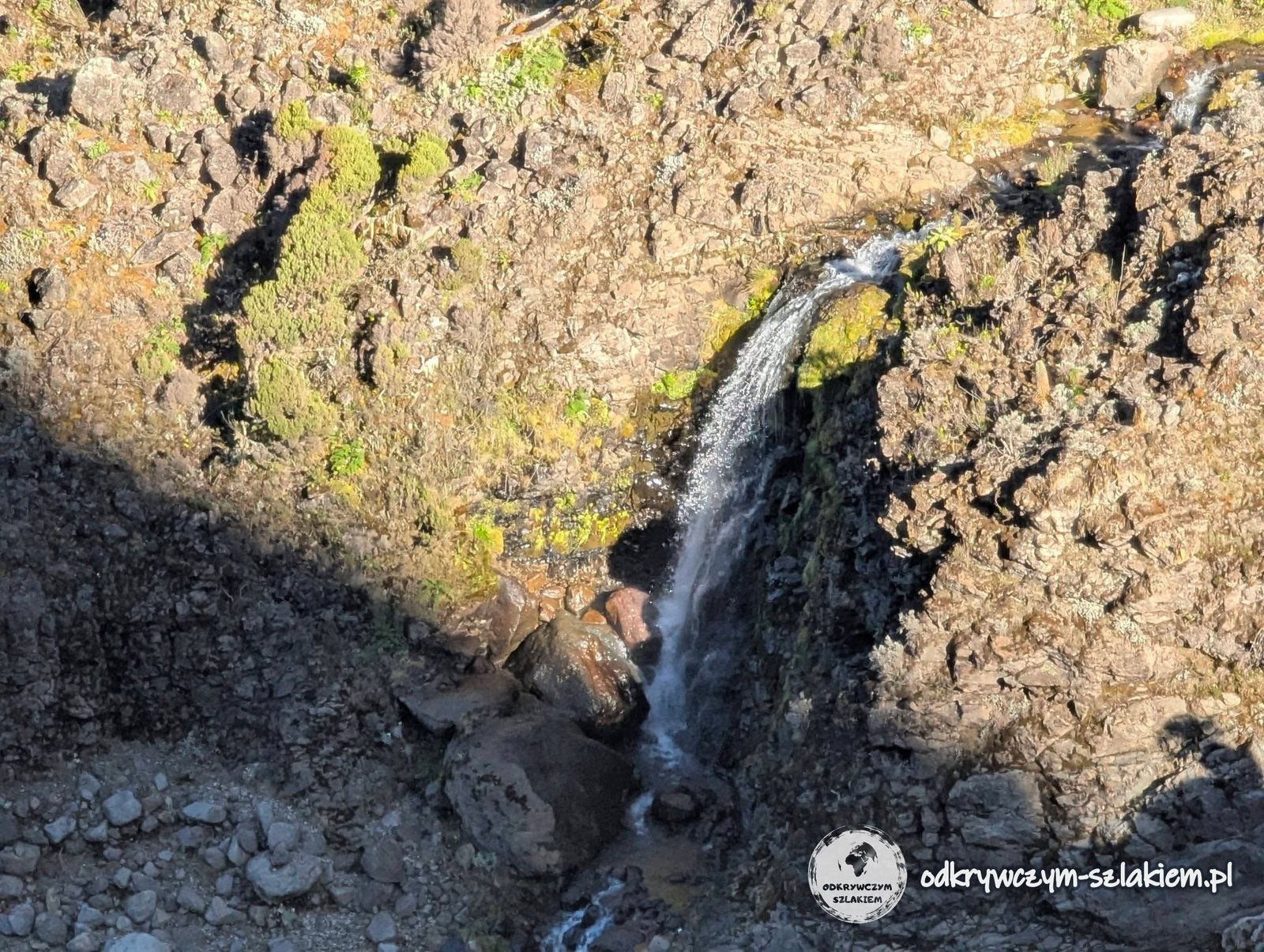
On Tuesday we started the day with the climb up the Barranco Wall, and just before it we passed a pretty waterfall several metres high.
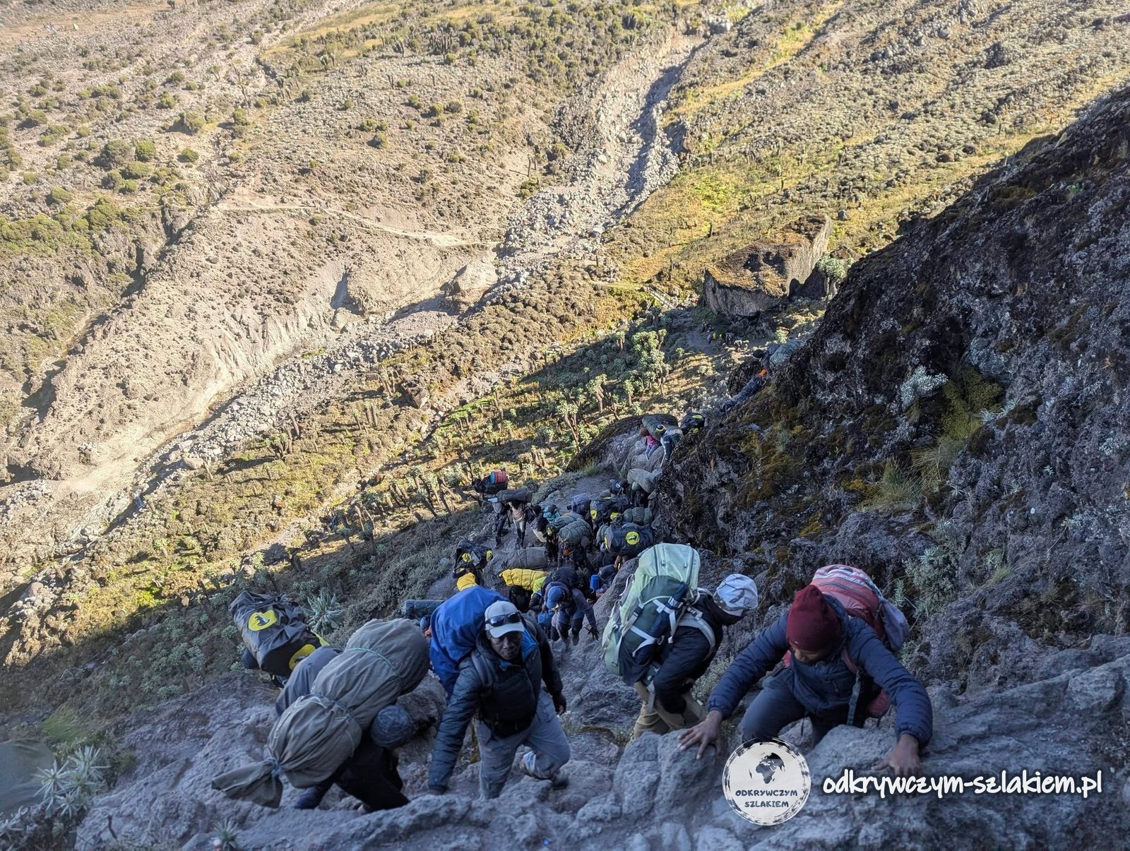
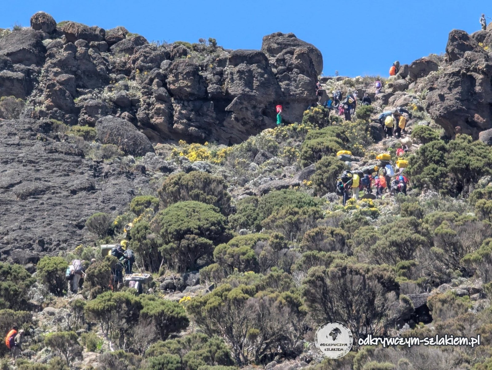
The Barranco Wall is a steep wall about 300 metres high. Technically it was the most difficult part of the whole trek, although still only of moderate difficulty. You had to use both hands and feet, so for that stretch the trekking poles went into the backpack. The wall was crowded – tourists from other groups and porters with luggage were climbing alongside us.
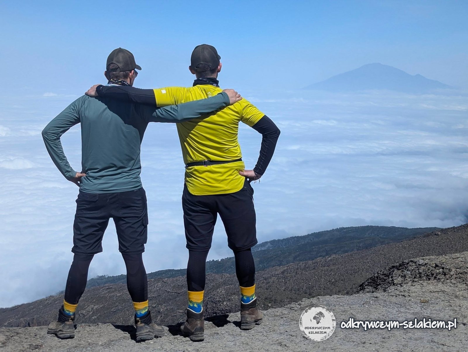
After getting over the wall we took a break at a spot with a very nice view of Meru (4566 m above sea level) – the second volcano in the area, which from below is almost always hidden in clouds.
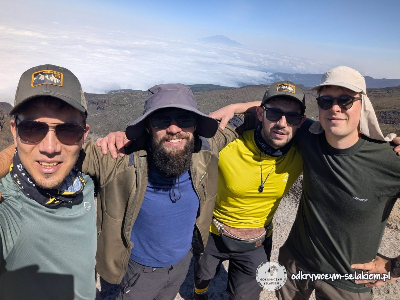
Meanwhile another water bladder in our group gave up – this time Michał’s. We shared our water with him, but until the end of the trek he could only fill bottles, which made it much harder for him to stay hydrated.
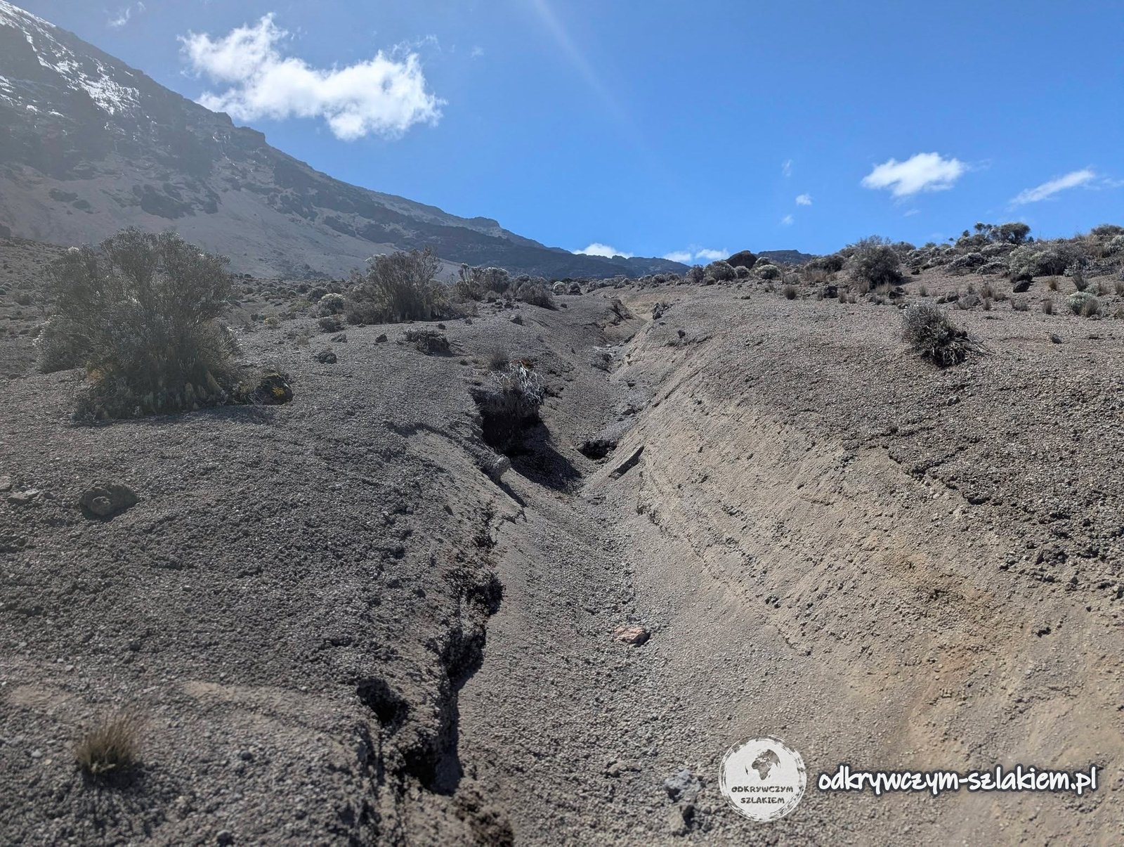
On the way we passed distinctive gullies and drops that looked as if a river had once flowed through them. The profile of the day was varied again: first up, then down, and finally up again. At the last place with access to water our agency topped up the drinking water supplies. We already knew that there would be less water at the next camp: enough to drink, but less for everything else.
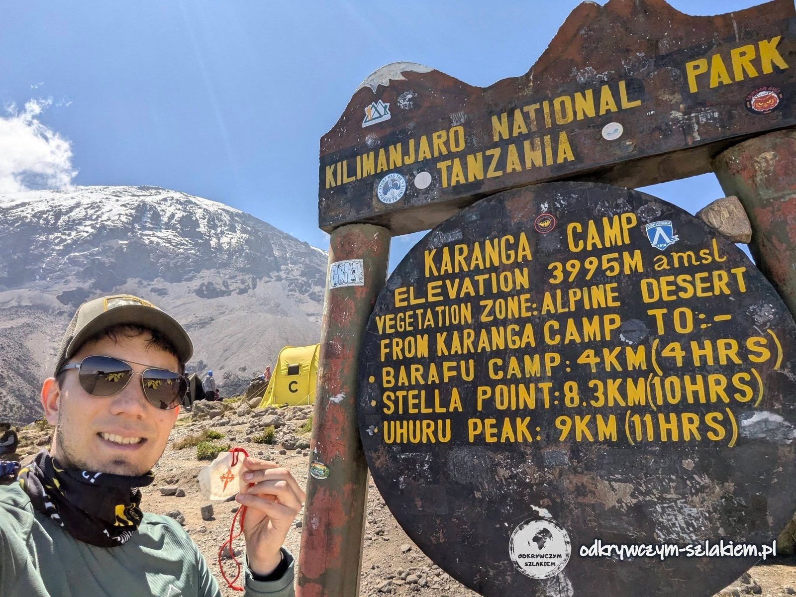
The finish was Karanga Camp (3995 m above sea level). According to the camp sign, only 9 km and 11 hours of walking were left to Uhuru Peak.
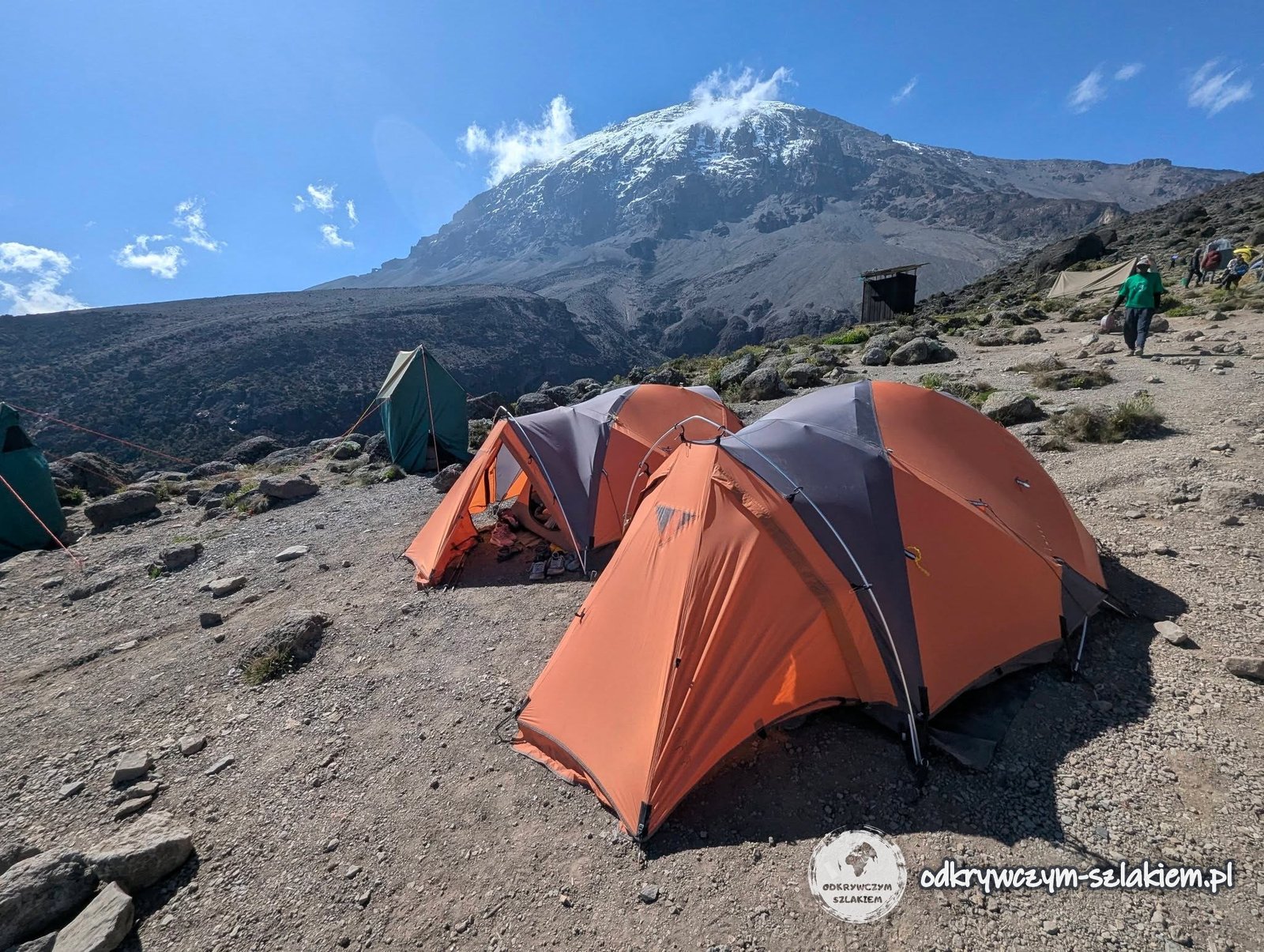
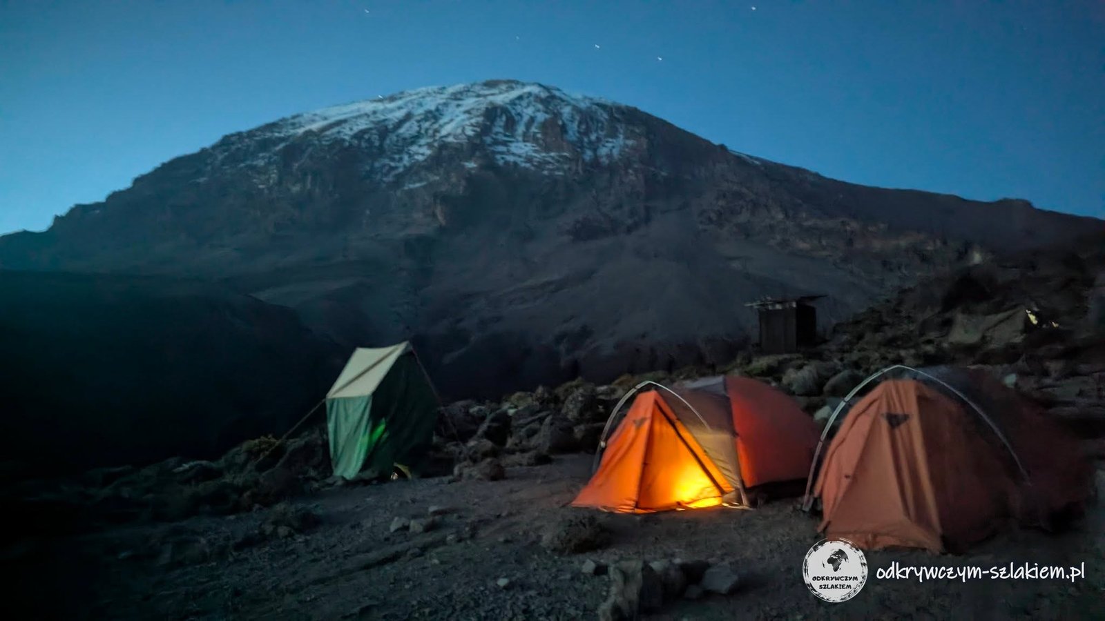
It was a very pleasant day – finally no headache, great weather and a relatively short distance and small elevation gain. We could relax a bit in camp, and the sight of tents against the backdrop of Kilimanjaro is not something you see every day. In the evening the kitchen surprised us again: they served pizza. Made in field conditions at almost 4000 m above sea level, it tasted amazing.
The results on the medical form were better too: 88% saturation and a pulse of 98, with no complaints at all (the day before 86% and 106). That day I drank 3–4 litres of water.
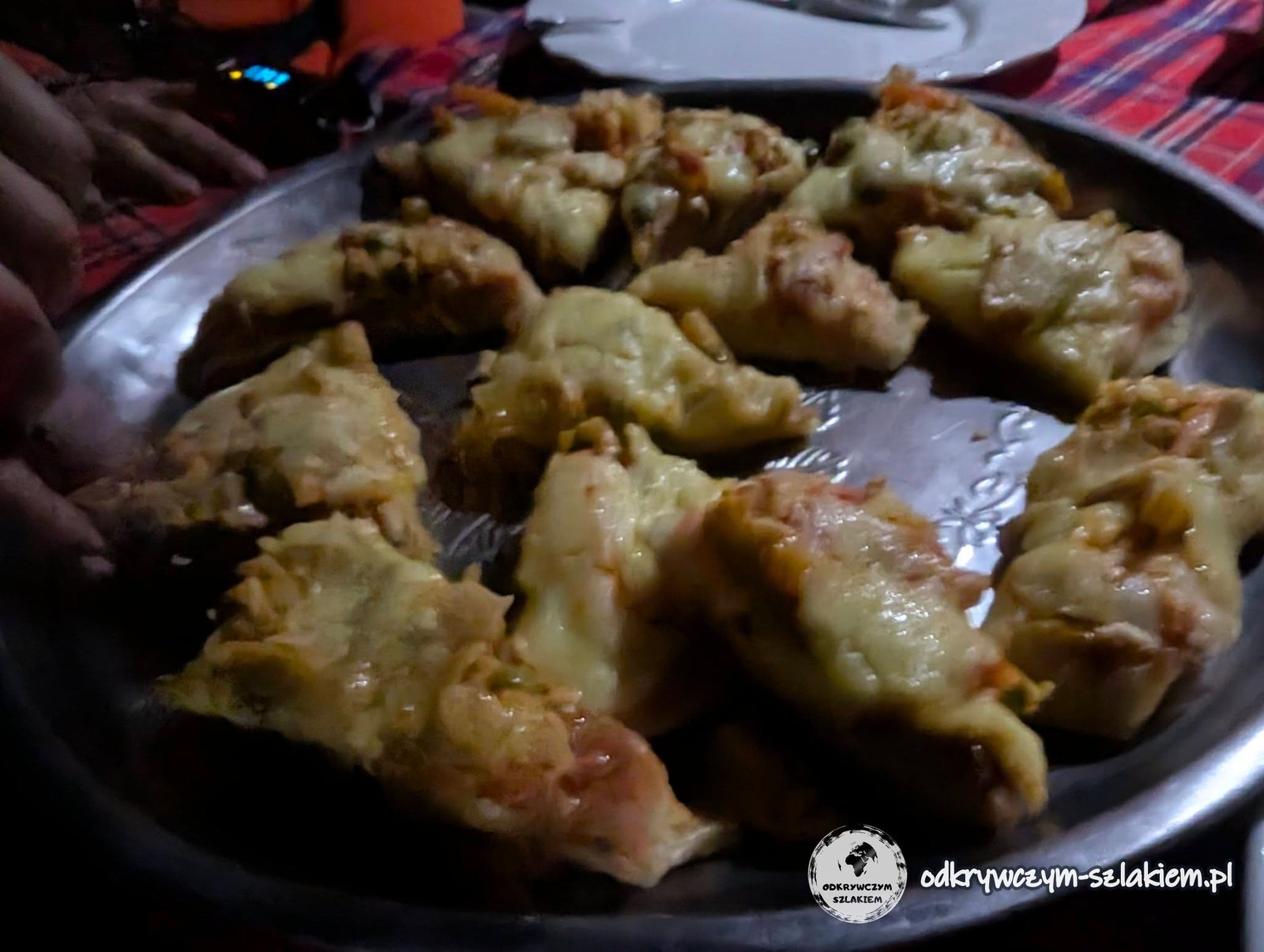
Karanga Camp had the best signal since the start of the trek (although still so-so), so I could post a short update online. After four days we had a total of about 3400 m of ascent and about 1100 m of descent behind us, acclimatisation was going well, and the summit push was planned for the night from Wednesday to Thursday. The night brought great conditions for stargazing – stars above the camp and the lights of Moshi below. It is just a pity that a phone cannot always capture it nicely – a phone is not an eye.
The day in brief: 5.6 km, +428 m elevation gain, −359 m descent, highest point about 4200 m a.s.l. (top of the Barranco Wall), overnight at 3995 m a.s.l.
Day V: Barafu Camp
On Wednesday 10 June, after a night at Karanga Camp (3995 m above sea level), we set off towards Barafu Camp, located at 4673 m above sea level. The goal was clear: to reach the last camp, from which we were to start the summit push the following night. This time we walked uphill practically the whole way – the distance was even shorter than the day before, but the elevation gain was bigger. We wanted to get there as fast as possible so as to have as much time as possible to rest before the hardest part of the expedition.
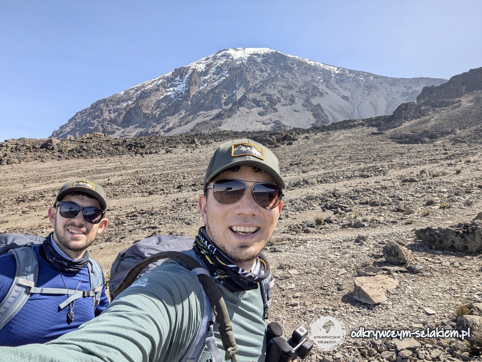
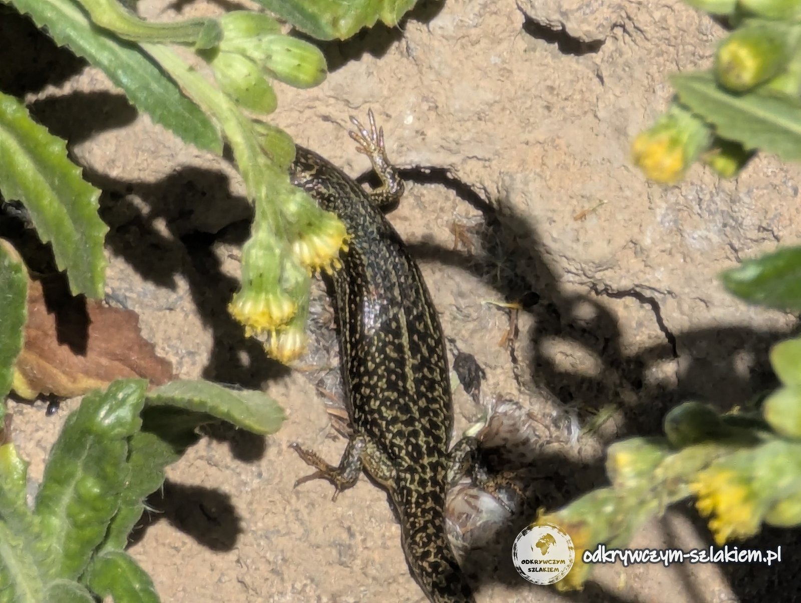
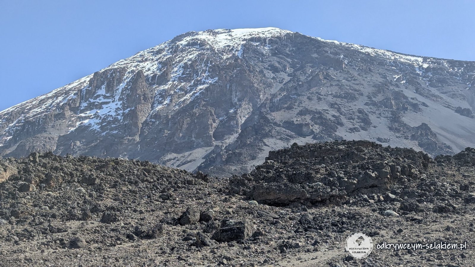
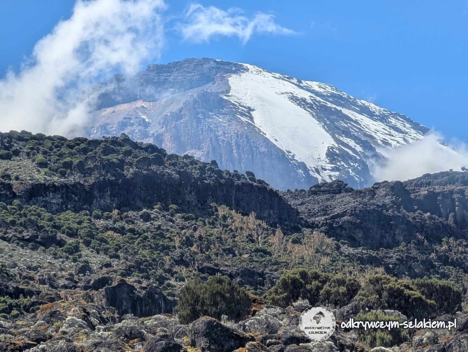
At this altitude we hardly met any animals any more, so even a small lizard could put a smile on our faces. That day we also saw the glaciers from below for the first time. We had been promised that if there was enough time after reaching the summit, we would walk up to one of them.
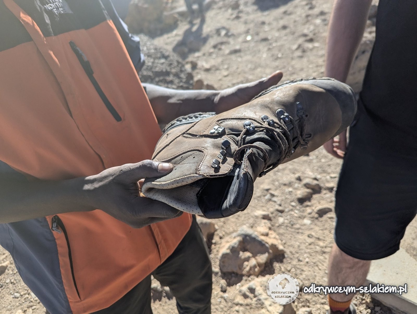
In the meantime Michał’s boots came apart once again – and once again the same person fixed them. This time it was a particularly important moment, because there really was very little time left before the most important walk.
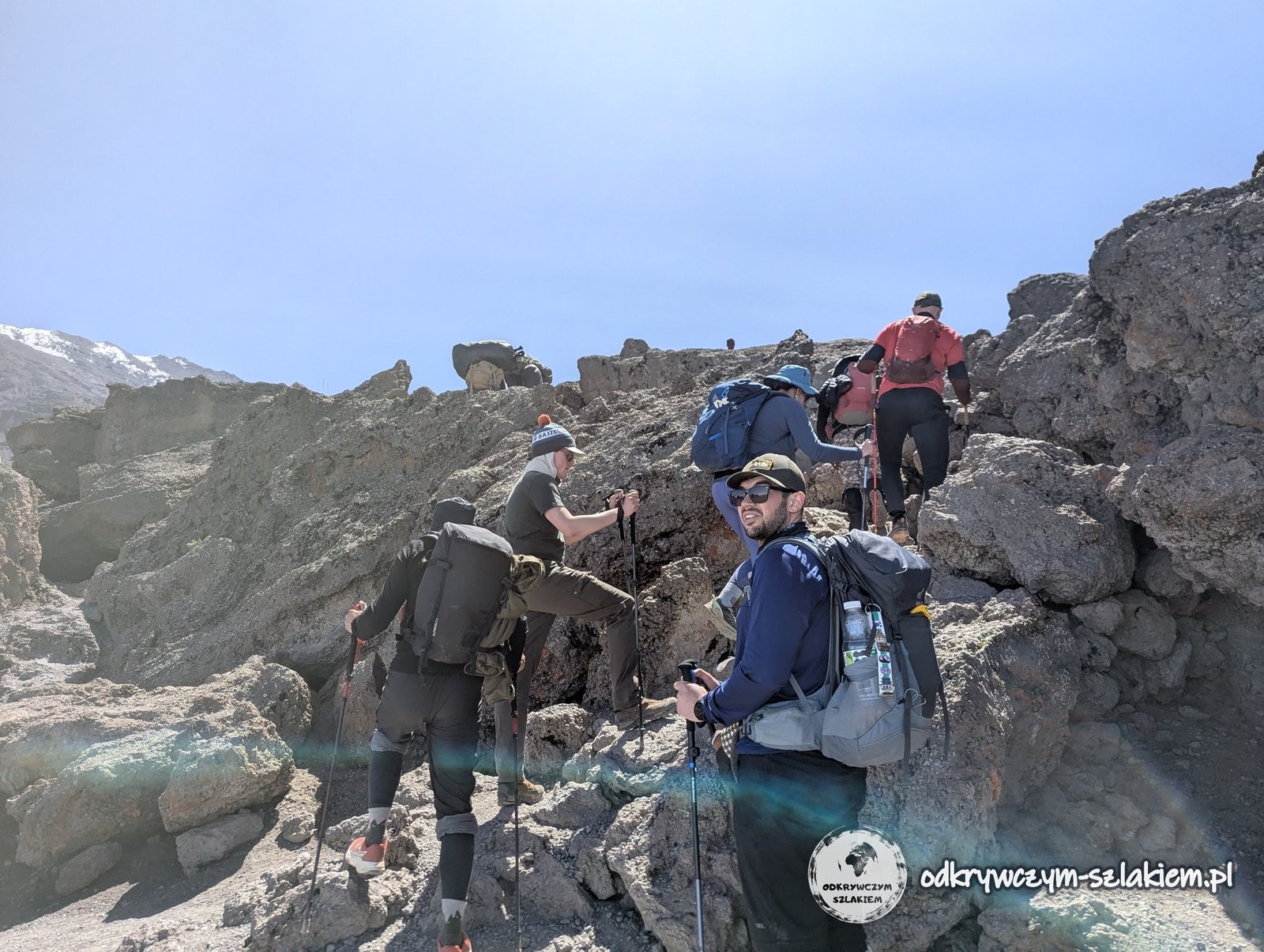
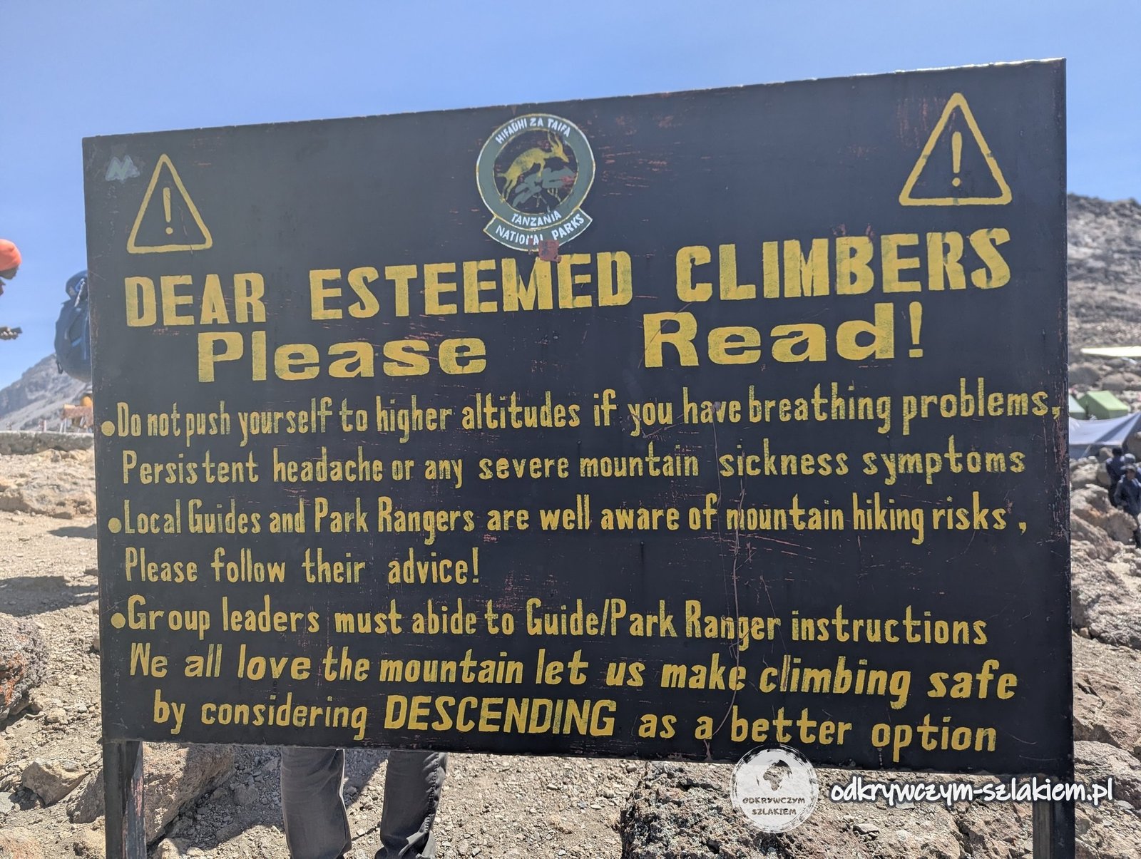
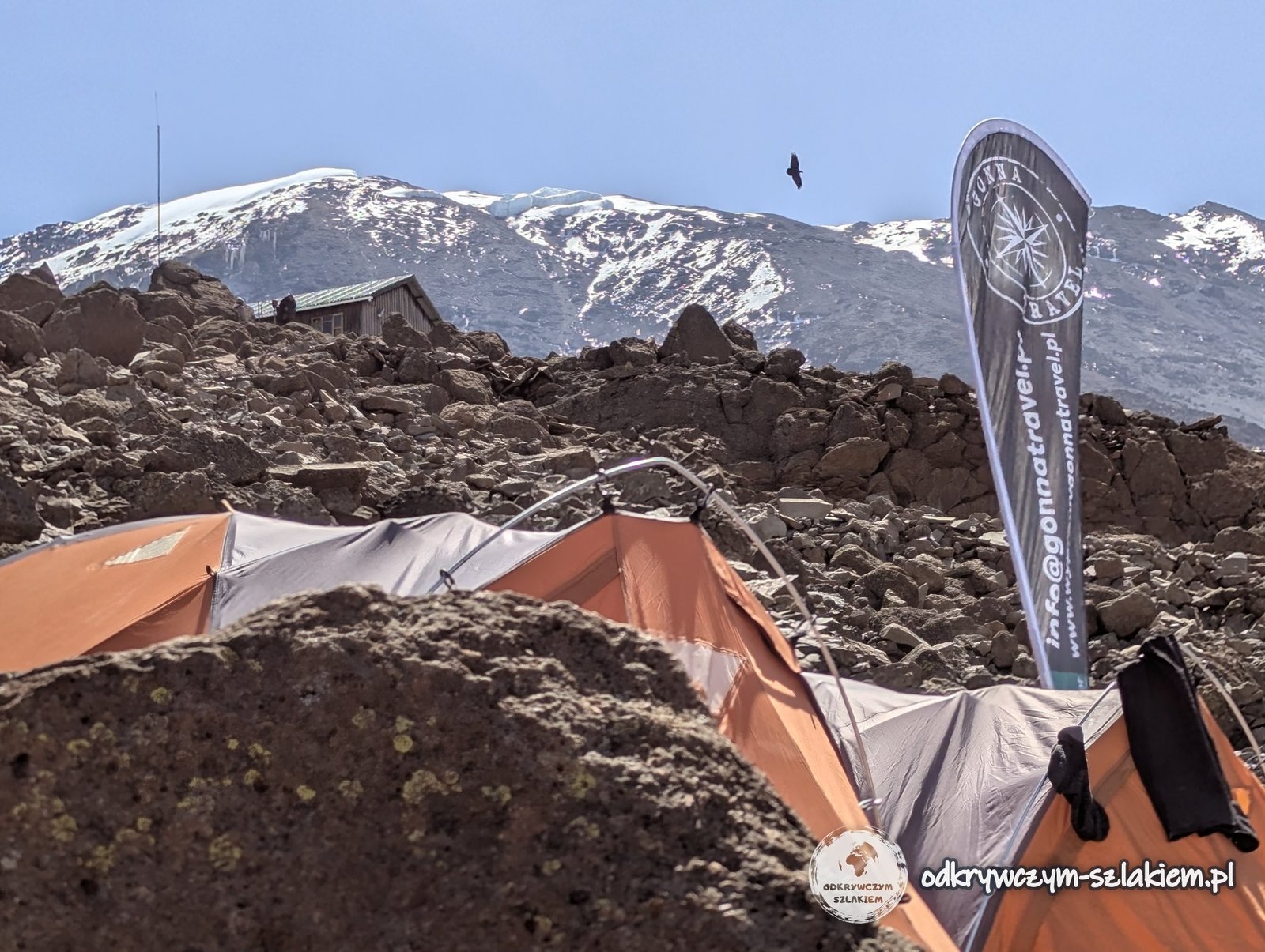
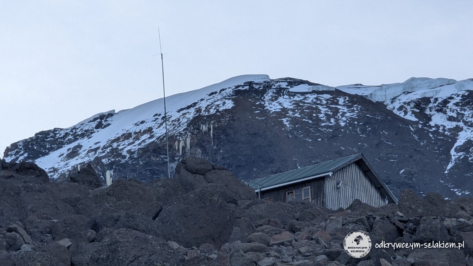
As we reached the camp, we came across the distinctive sign “Dear esteemed climbers – please read”. Among other things, it reminded climbers not to go higher if they have breathing problems, a persistent headache or other symptoms of altitude sickness, to listen to the guides and to treat descending as the better option. Its content showed clearly that the joking was over.
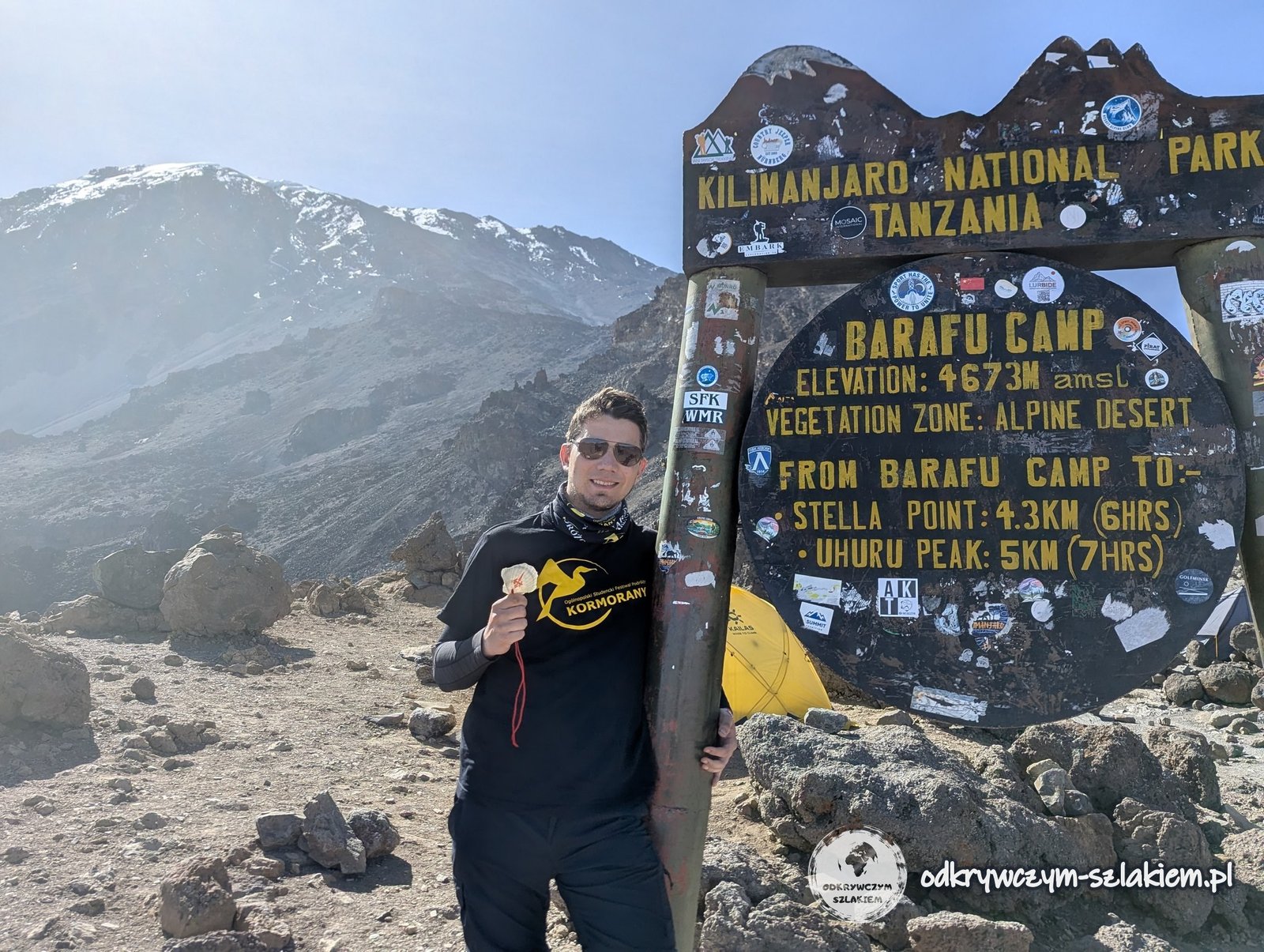
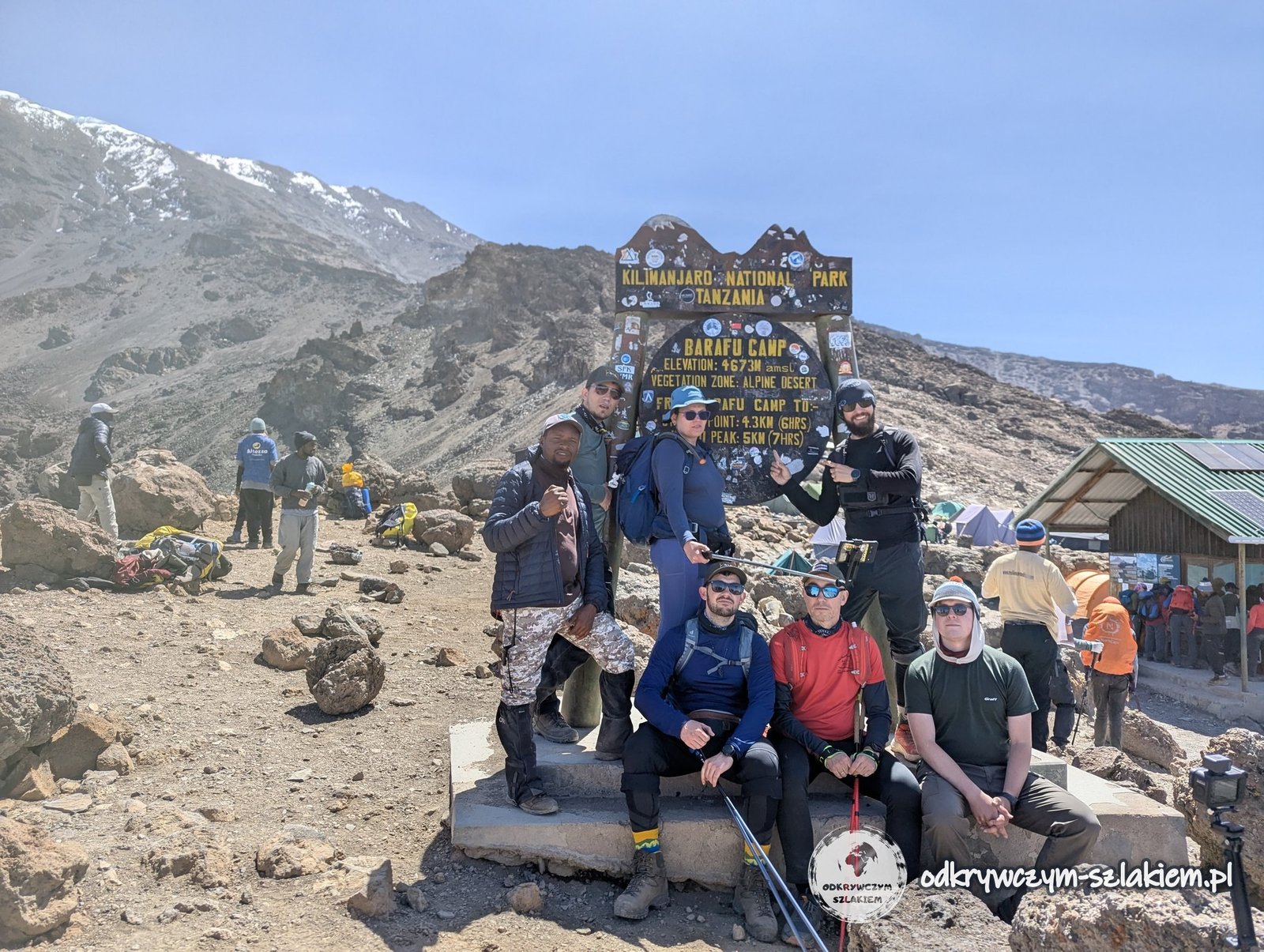
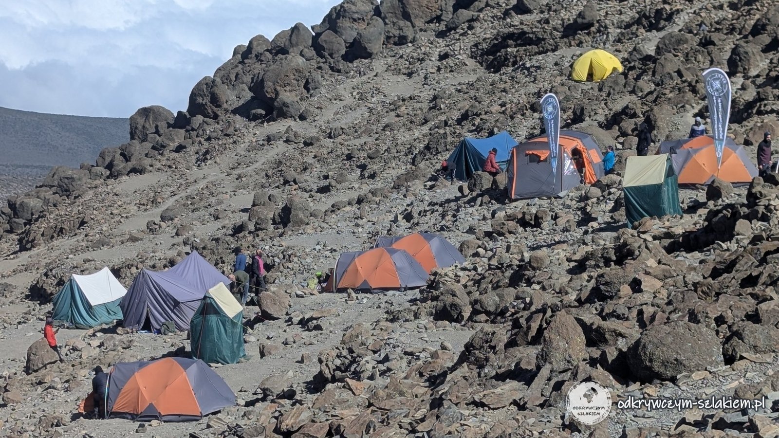
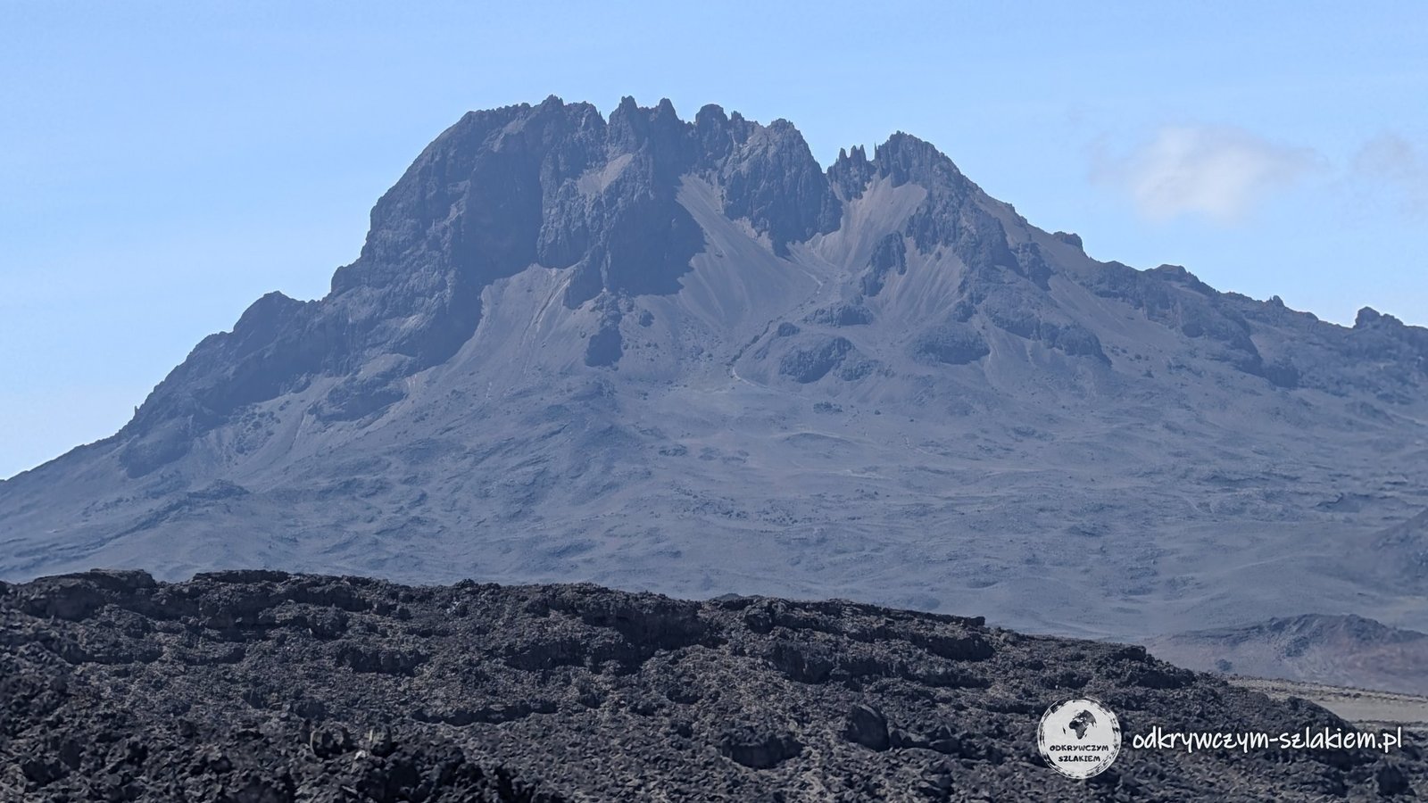
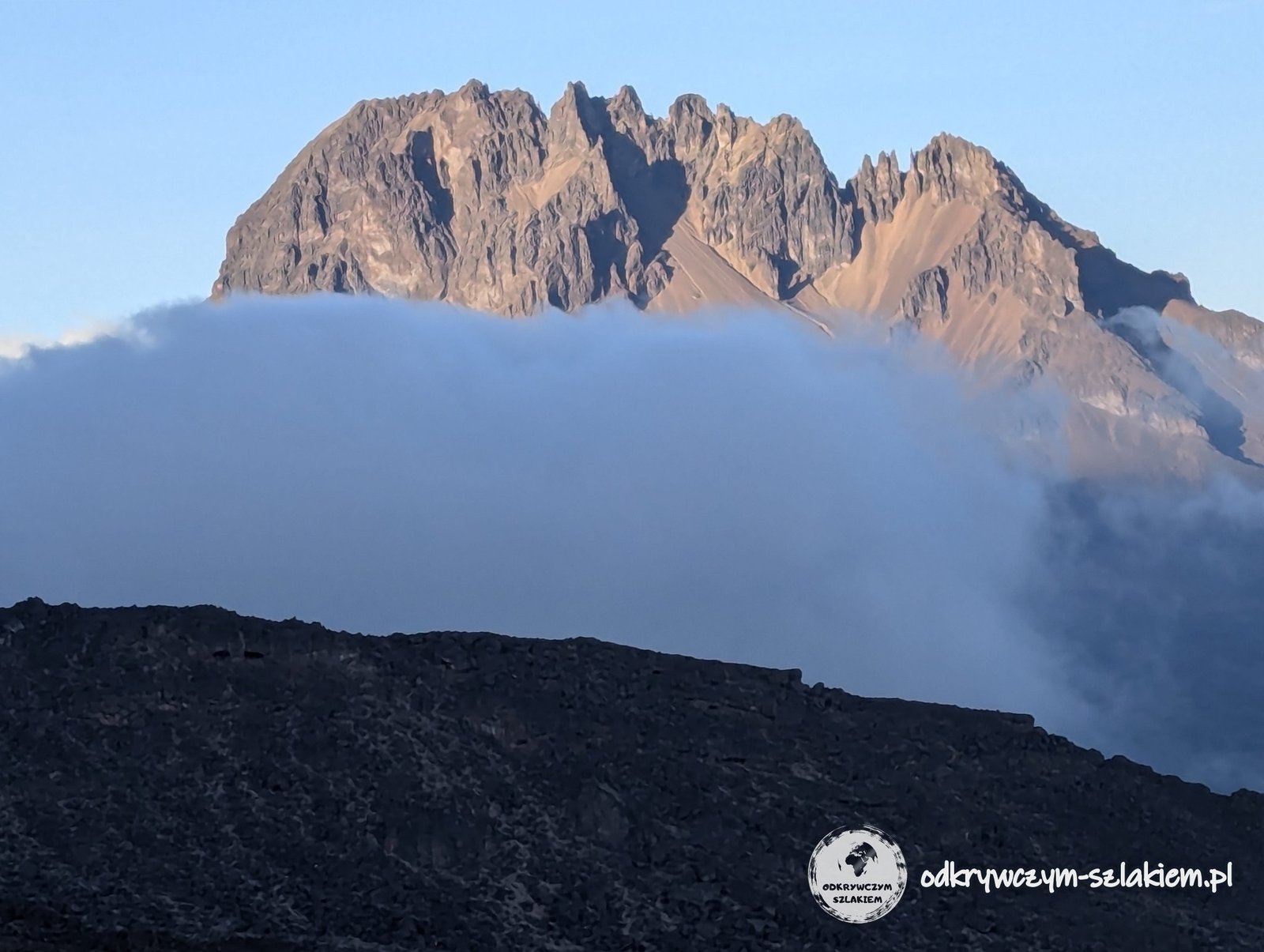
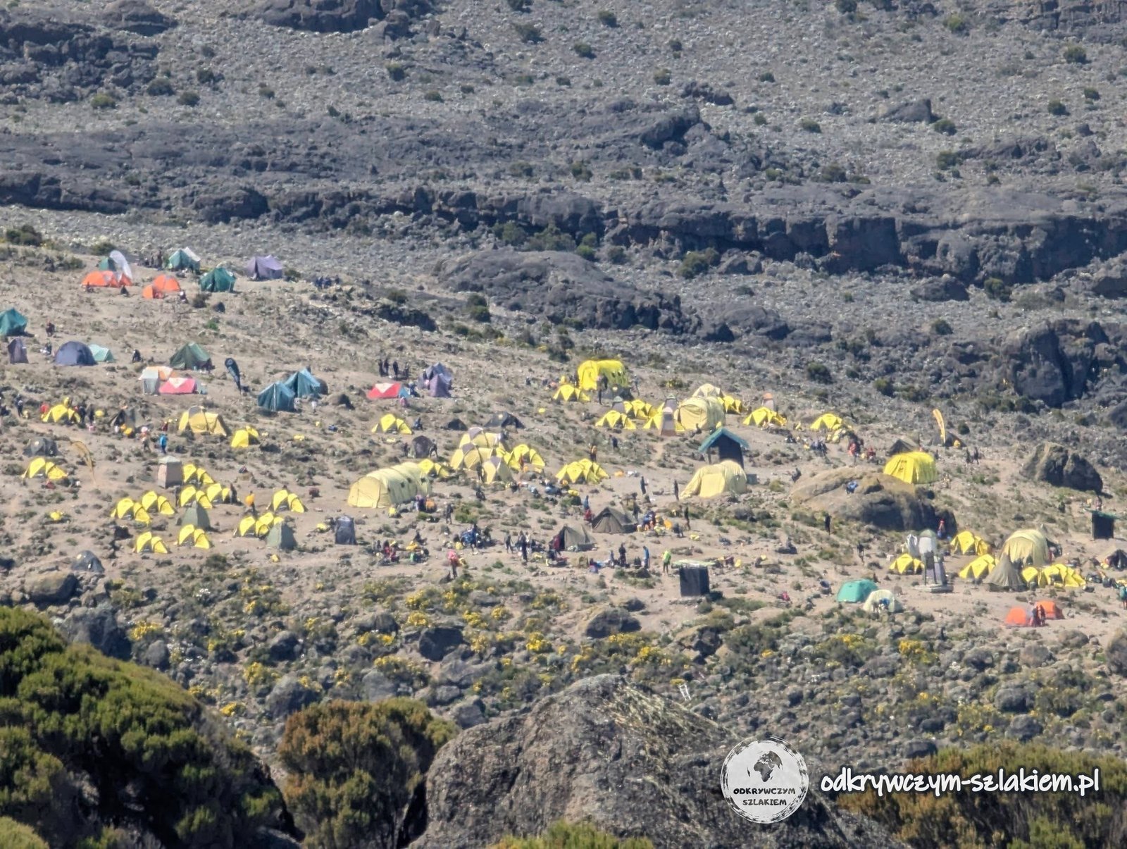
The camp itself was interesting because of its location, too. The tents stood in neat rows but at different heights, so stepping out of the tent we were on a slight slope. In return we got a beautiful view of Mawenzi (5149 m above sea level) – the massif’s second peak, which is much harder to climb technically and requires additional permits.
After dinner came the most important, and therefore the most serious, briefing of the whole expedition. Each of our guides had something to say. We knew that breaks would last 5 minutes at most and would not happen more often than once an hour. We were to walk very slowly, at one steady pace, one person behind the other. We also had four assistants at our disposal – if the head guide Peter decided that something was wrong with us and told us to hand our backpack to an assistant, there was to be no discussion.
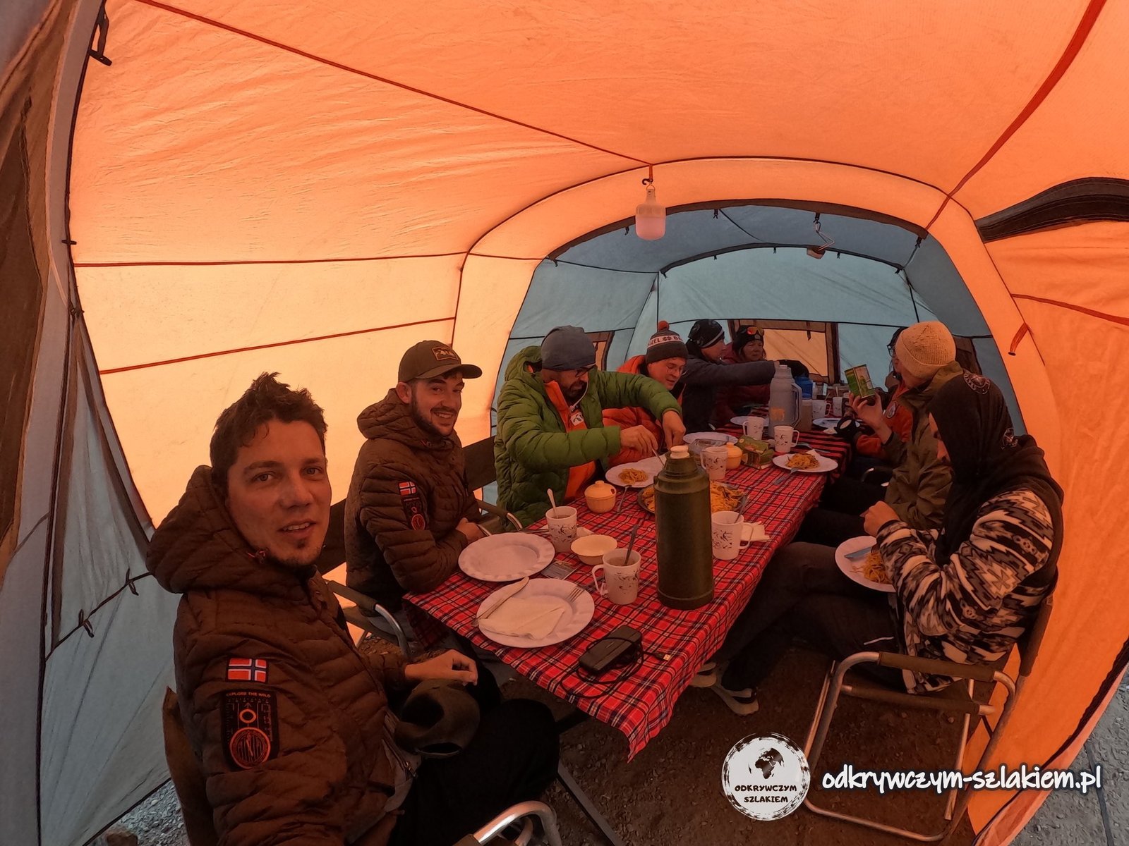
We spent the night in the highest, and therefore the coldest, camp. The layers of clothing we slept in grew with each camp – in the lower ones there were correspondingly fewer. Peter also asked us to keep our most valuable things and documents inside our sleeping bags at night: he could vouch for our agency, but not for everyone wandering around the camp at night.
On one of the earlier nights I woke up with my legs sticking out of the main part of the tent and my sleeping bag half unzipped. For a moment I panicked – the emotions connected with the theft I had experienced in Ecuador came back. Fortunately all my things were in place, but the stress was really considerable.
A quick word on hygiene: in conditions like these you really appreciate simple solutions. Wet wipes replaced the shower, and a pee bottle let you relieve yourself without leaving the tent. It was not about laziness – this way we did not get chilled at night, did not wake up completely and did not waste time getting dressed and going outside.
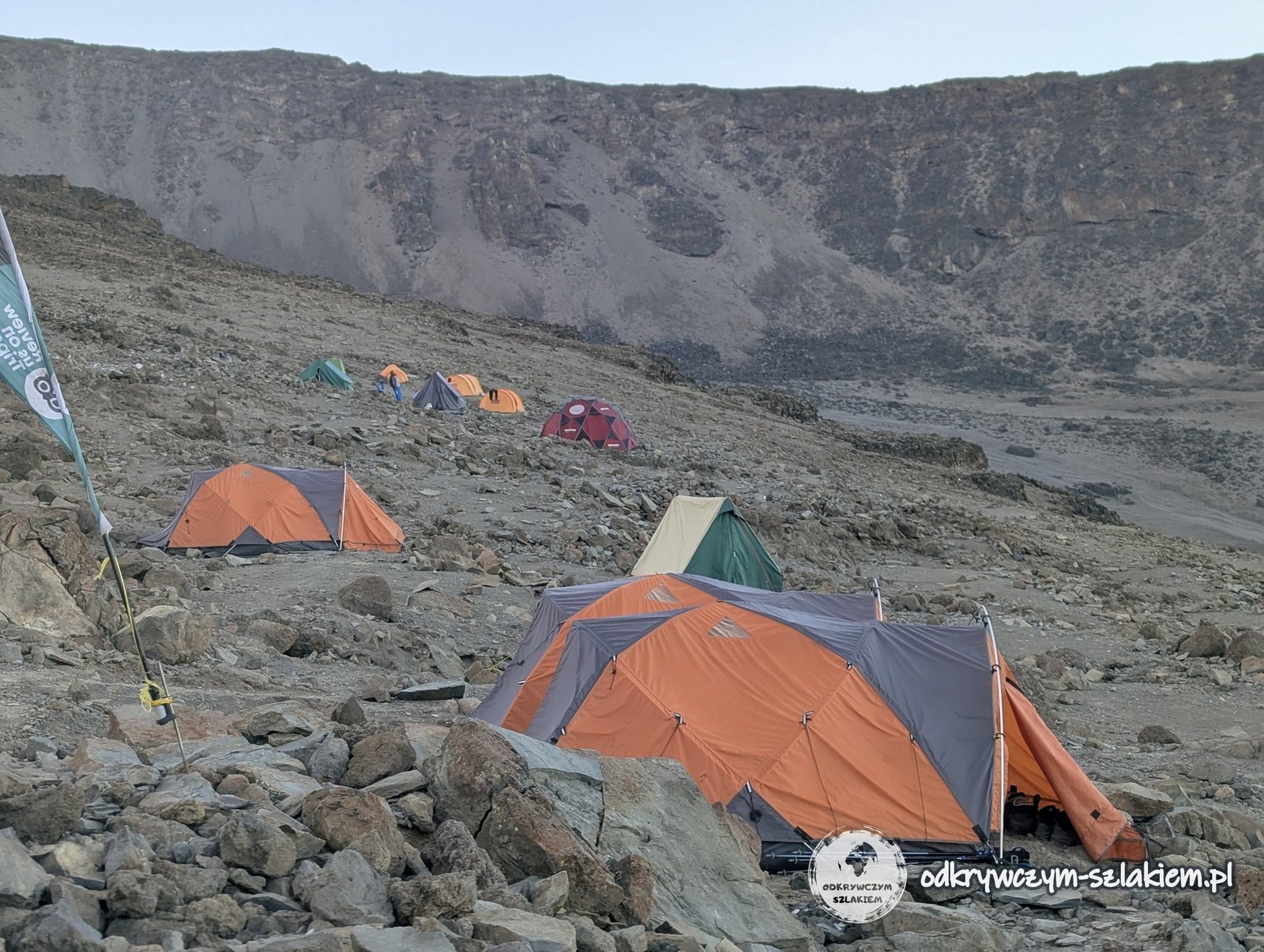
According to my watch, that day we walked 4.27 km in 3 hours and 15 minutes, climbing 631 m. So the walk was short, but it already took place at a very high altitude – the highest point recorded (4726 m above sea level) was even slightly above Barafu Camp. Everything was ready; all that was left was to rest. During the night we were to set off towards Uhuru Peak.
The day in brief: 4.27 km, +631 m elevation gain, overnight at 4673 m a.s.l.
Day VI: the summit push to Uhuru Peak
The shortest sleep of the whole expedition awaited us – about 5 hours. The wake-up was at about 23:00, followed by a quick, modest breakfast, getting ready and the planned departure at midnight. In the end, on Thursday 11 June, we set off at 0:15. When Filip and I were washing our hands before leaving, the water was partly frozen for the first time and we had to open the bucket to get to the part that had not frozen.
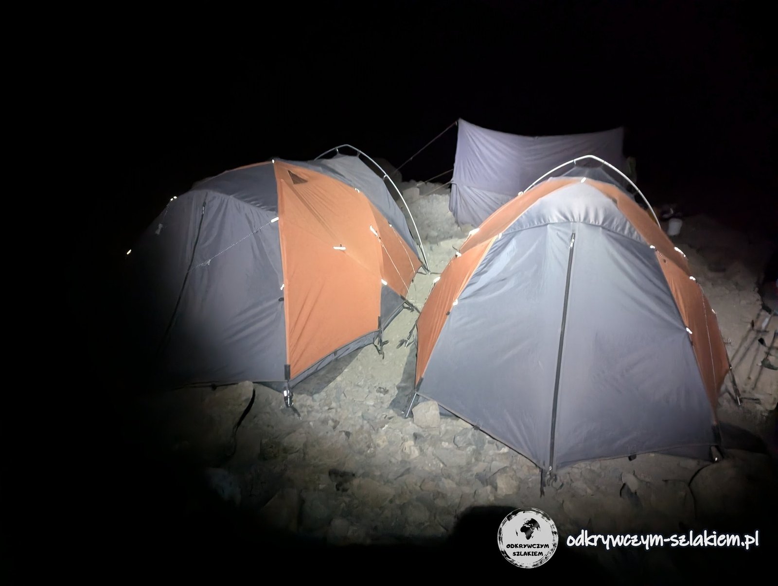
Over the previous days the prospect of the summit had been sitting more and more at the back of my mind. Now there was no turning back – what we had been waiting for was just beginning. The start was good, it was even quite warm, so I set off in thin gloves. Soon, however, the temperature began to drop. After the first break I swapped them for thicker ones, but that was not enough.
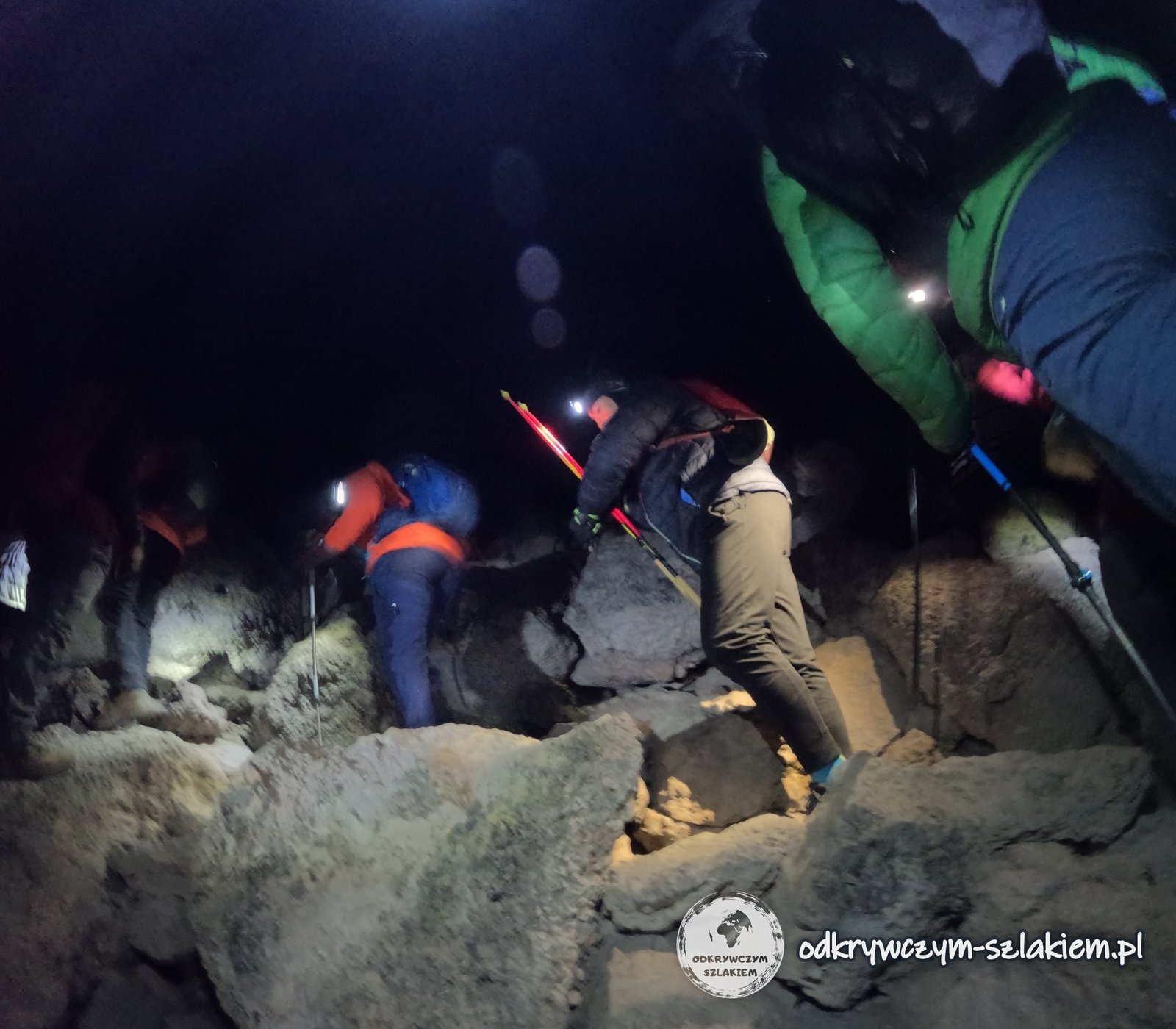
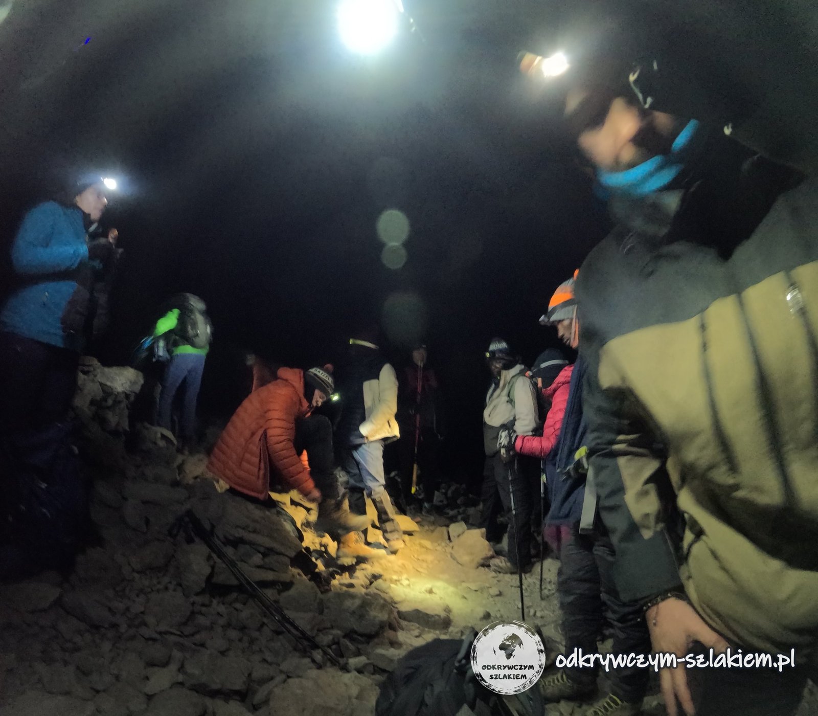
For roughly the next 4 hours I took practically no photos. My hands got extremely cold – I had never felt cold like that before. I started to panic: I had to warm my hands, keep walking and deal with a growing crisis all at the same time. I was told to hand my backpack to an assistant. The person walking behind me had spare gloves, which turned out to be better than mine, and at the next break I got even warmer ones. Finally the assistant Saidi helped me warm my hands and put on proper gloves. That was a turning point for me – after a while I felt that things were getting better.
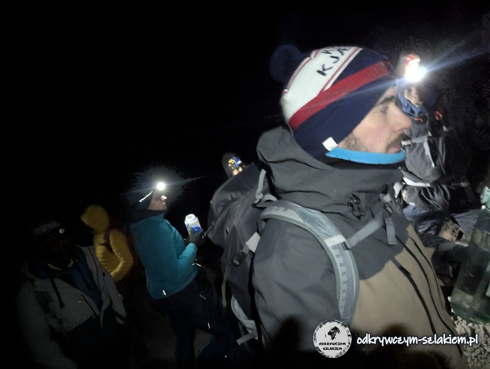
I do not have exact temperature data, but it may have been about −20°C, and the wind chill may have reached as low as −30°C. The breaks were short, so you had to choose: eat, drink or go to the toilet – there simply was not enough time for everything.
The next breakthrough came with dawn. The sky began to brighten and we were approaching Stella Point (5756 m above sea level) – a spot on the crater rim where the terrain starts to level out. With the first rays of sunshine our spirits soared at once. About an hour was left to the summit.
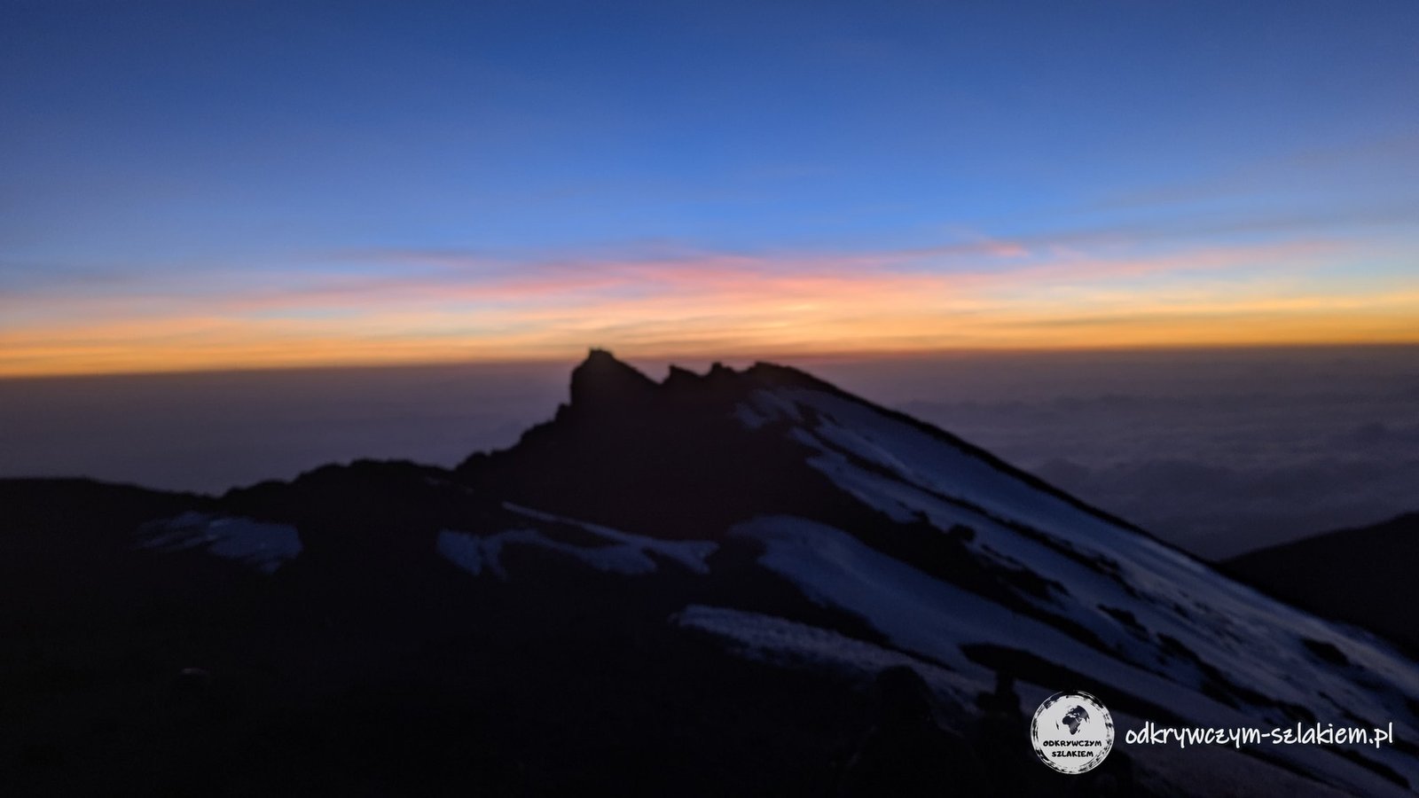
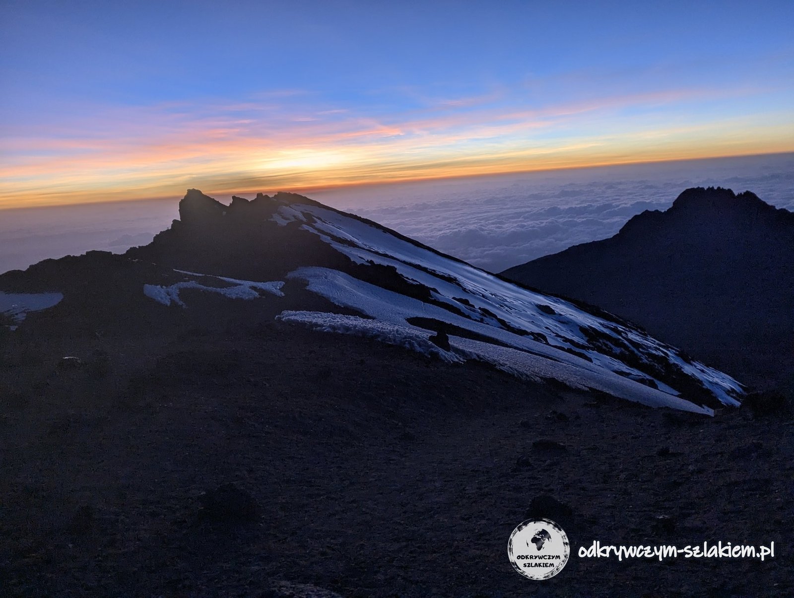
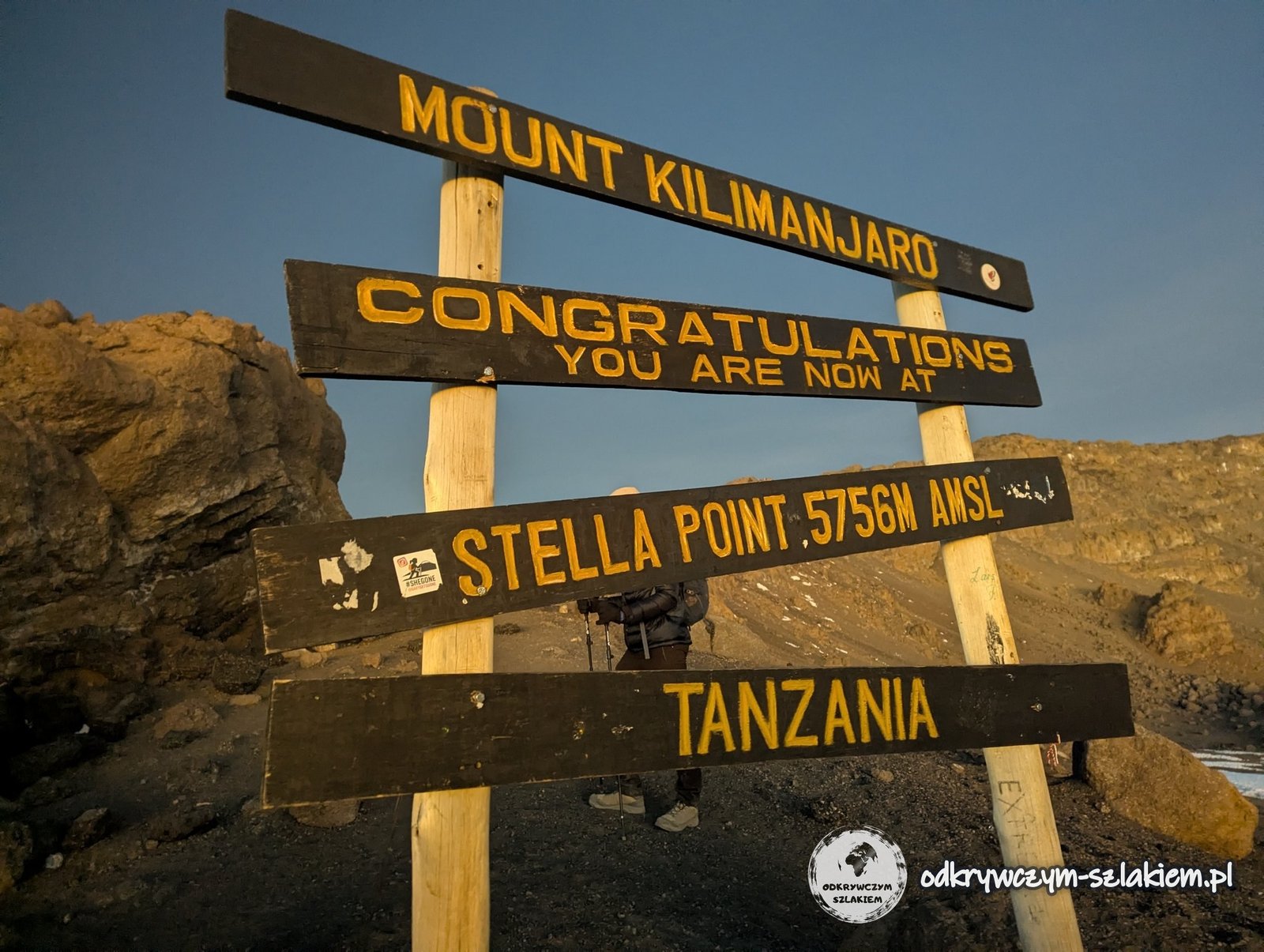
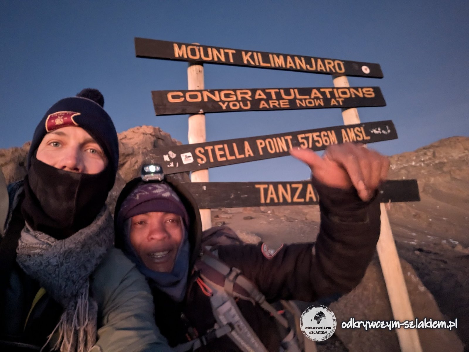
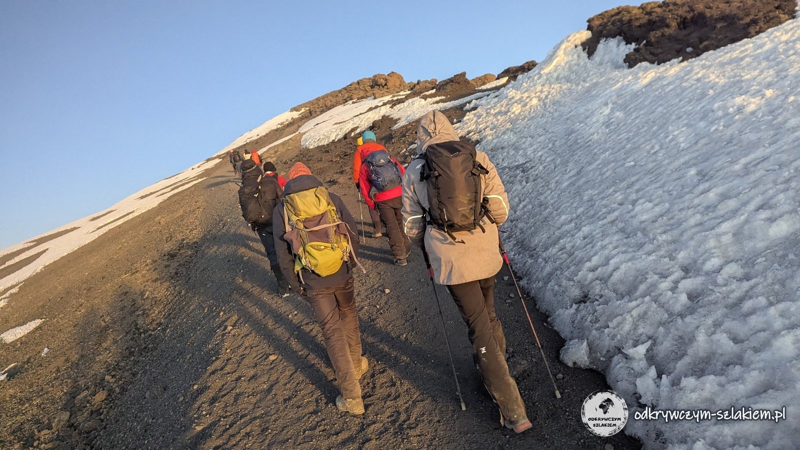
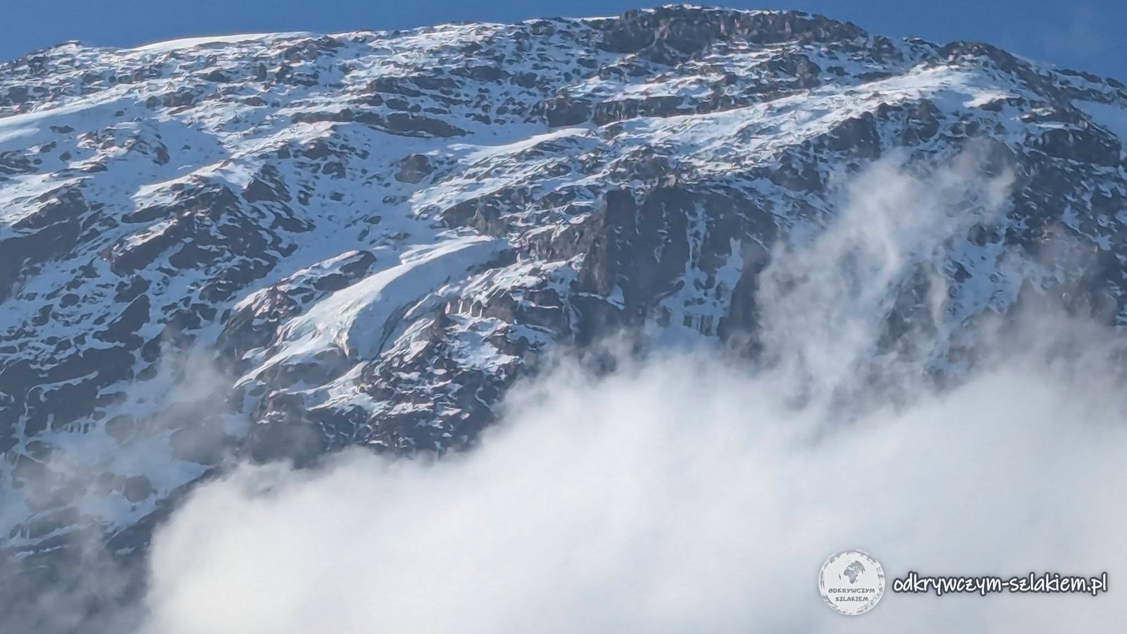
On the way we passed frozen snow. Crampons were not needed, although where there was no marked path you had to be careful. We also saw up close the glaciers we had looked at from below the day before.
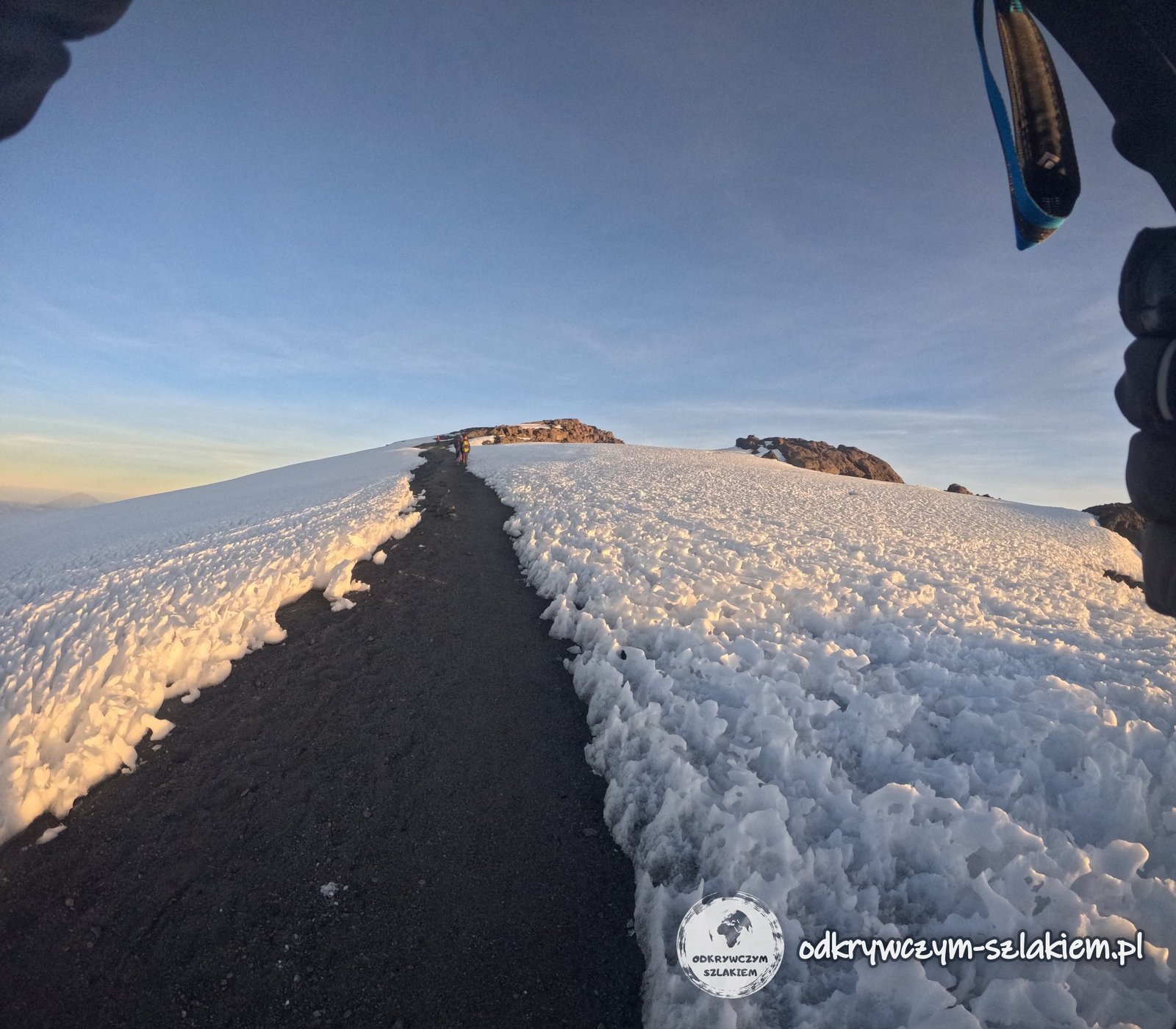
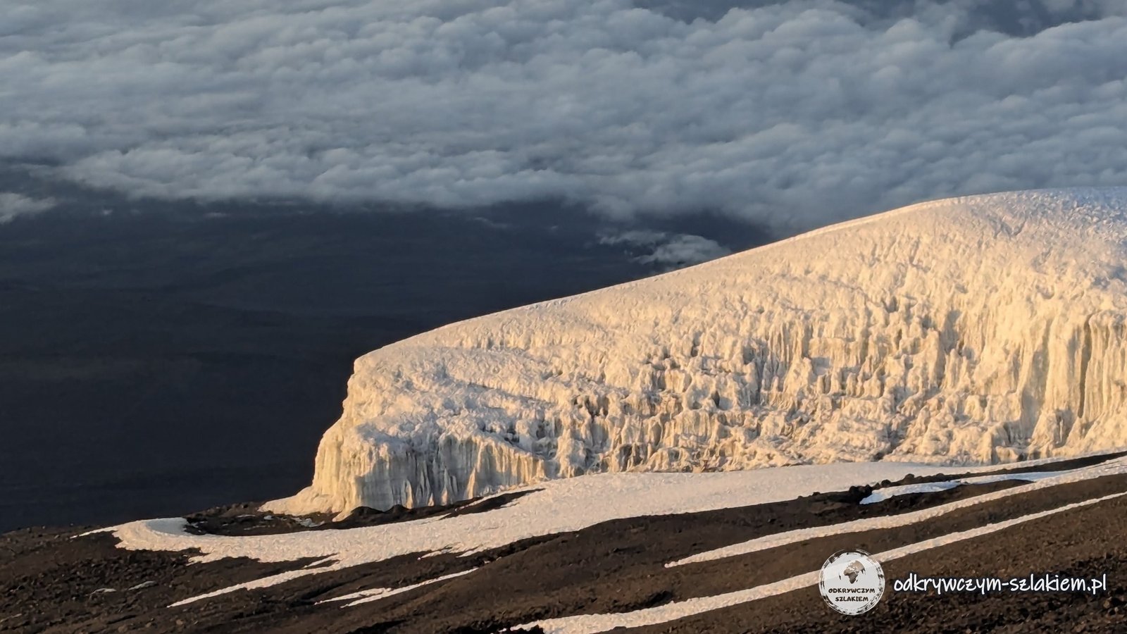
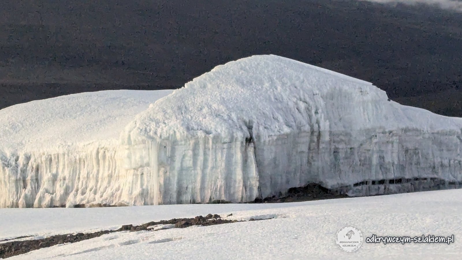
And finally – we did it. Uhuru Peak, 5895 m above sea level, which we reached before 7:30 Tanzanian time. Those emotions are really hard to describe. Someone from our group said: “Everyone has their own Mount Everest.” We all stood on the roof of Africa.
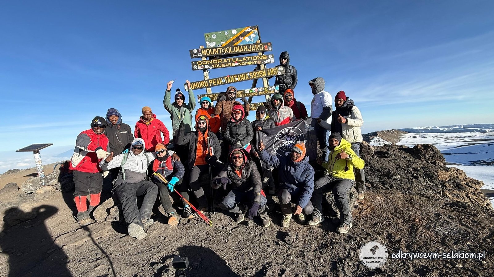
We did not all arrive at the same time. When Michał and I appeared on the summit, part of the group was already there and others were still coming up. We happened to arrive at a relatively quiet moment, so after a short queue we managed to take photos. In all the commotion Michał even misplaced the Polish flag – luckily it turned up later, but it did not make it into the photos.
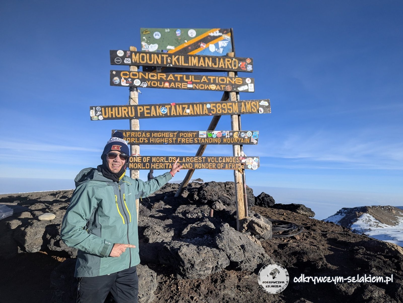
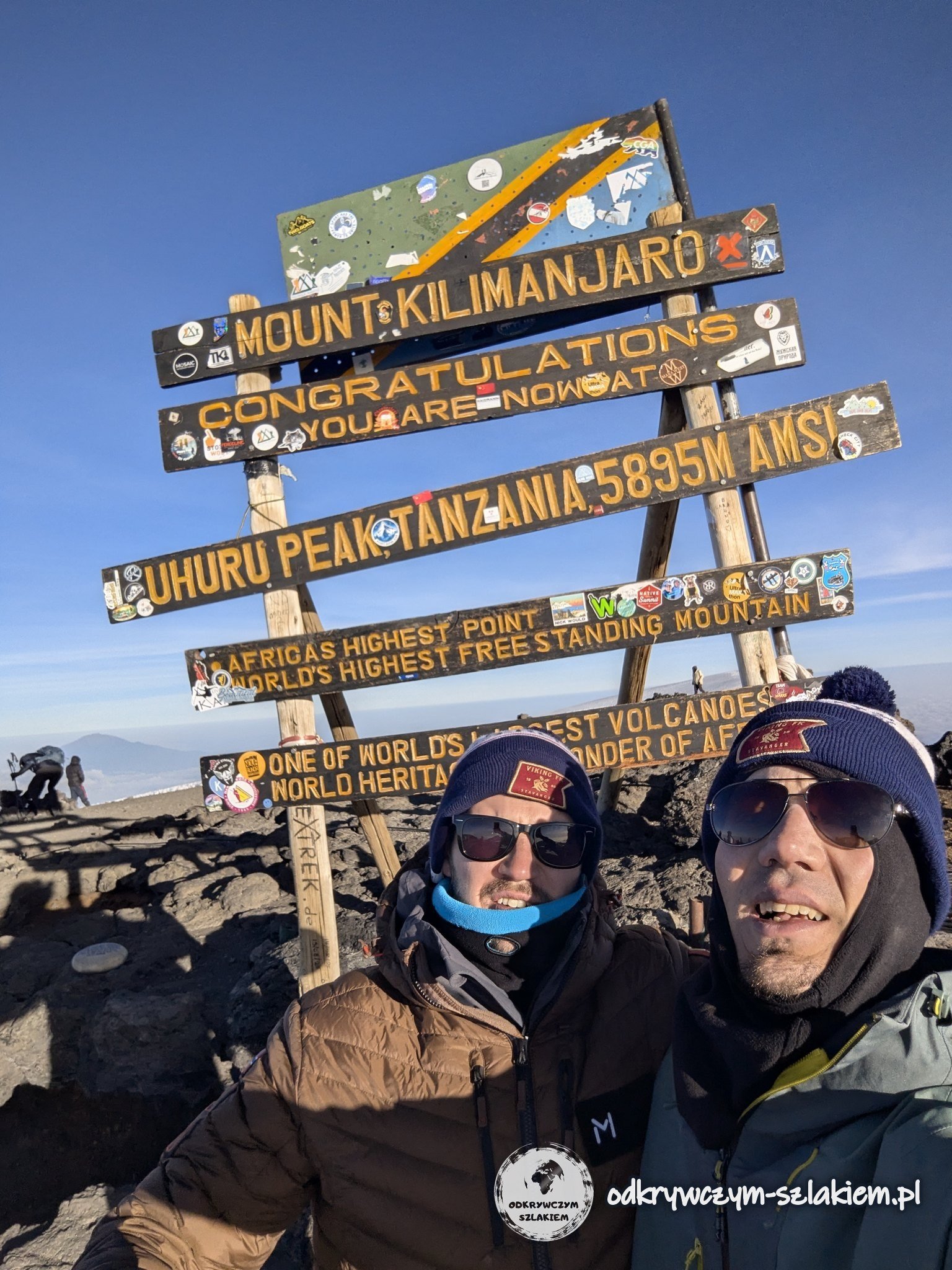
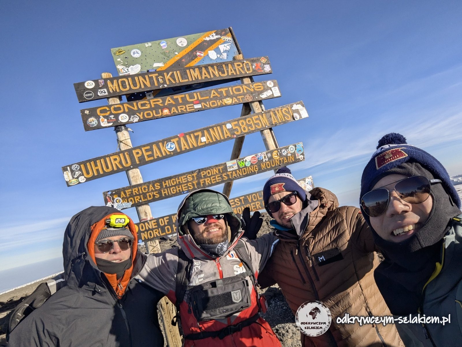
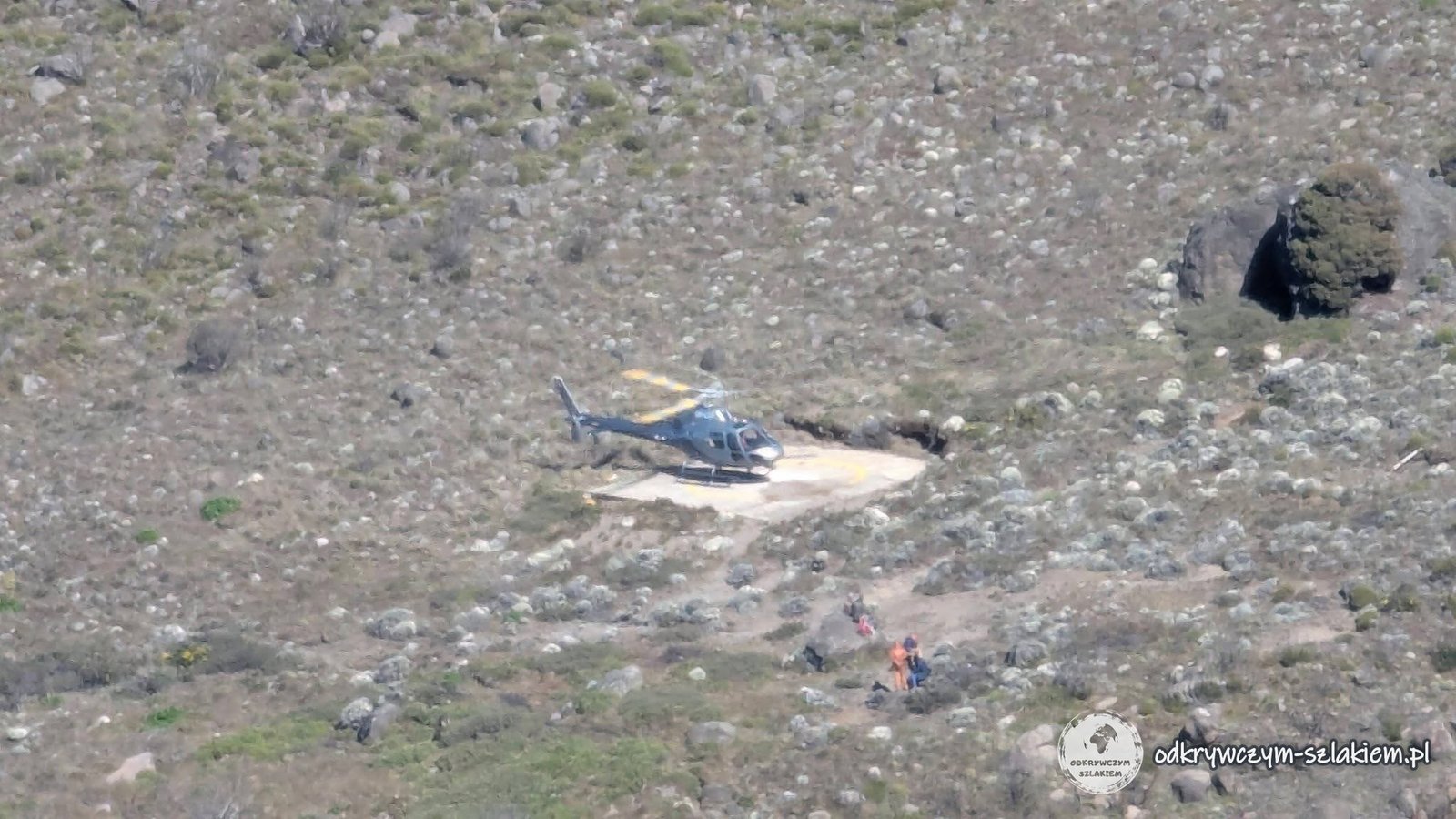
There were tears, there were people who wanted to turn back, and some participants had to hand their backpacks to the assistants. On the way we also saw people using oxygen, and on the previous days a helicopter picking up those in need had flown past in the distance several times. This really is not an ordinary stroll.
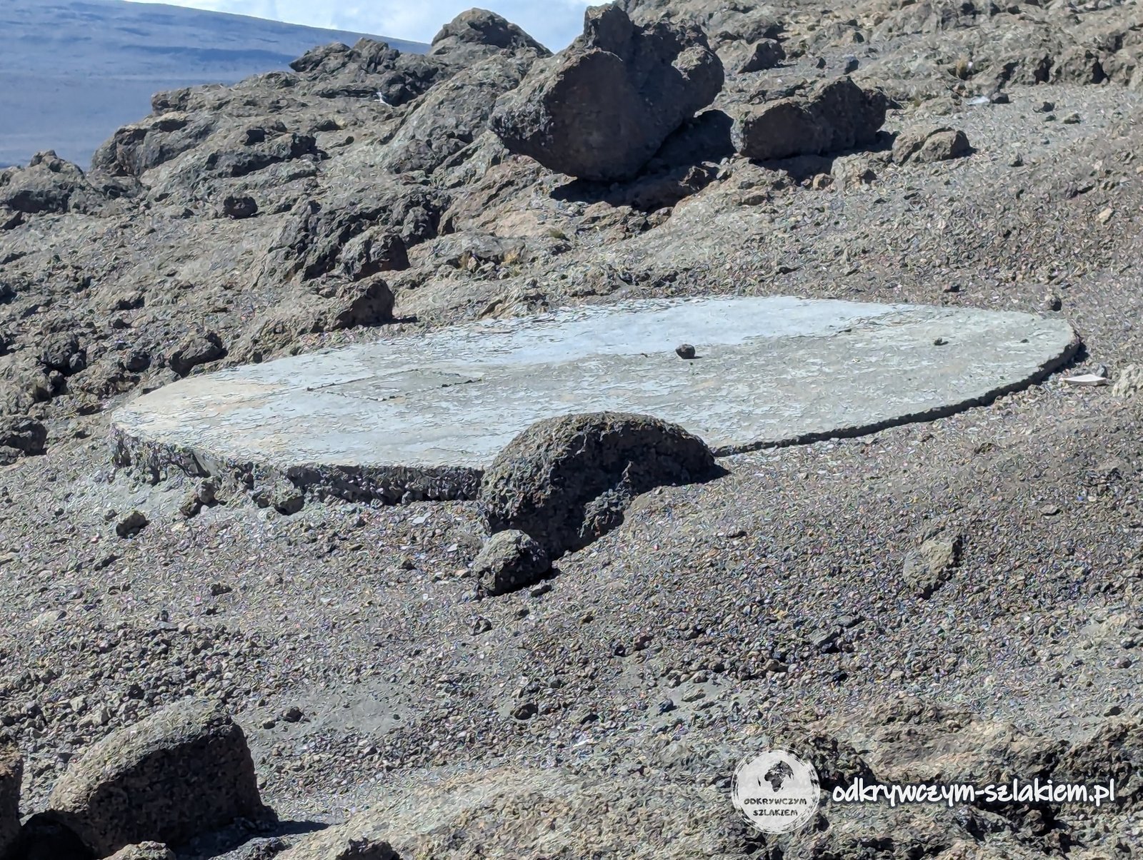
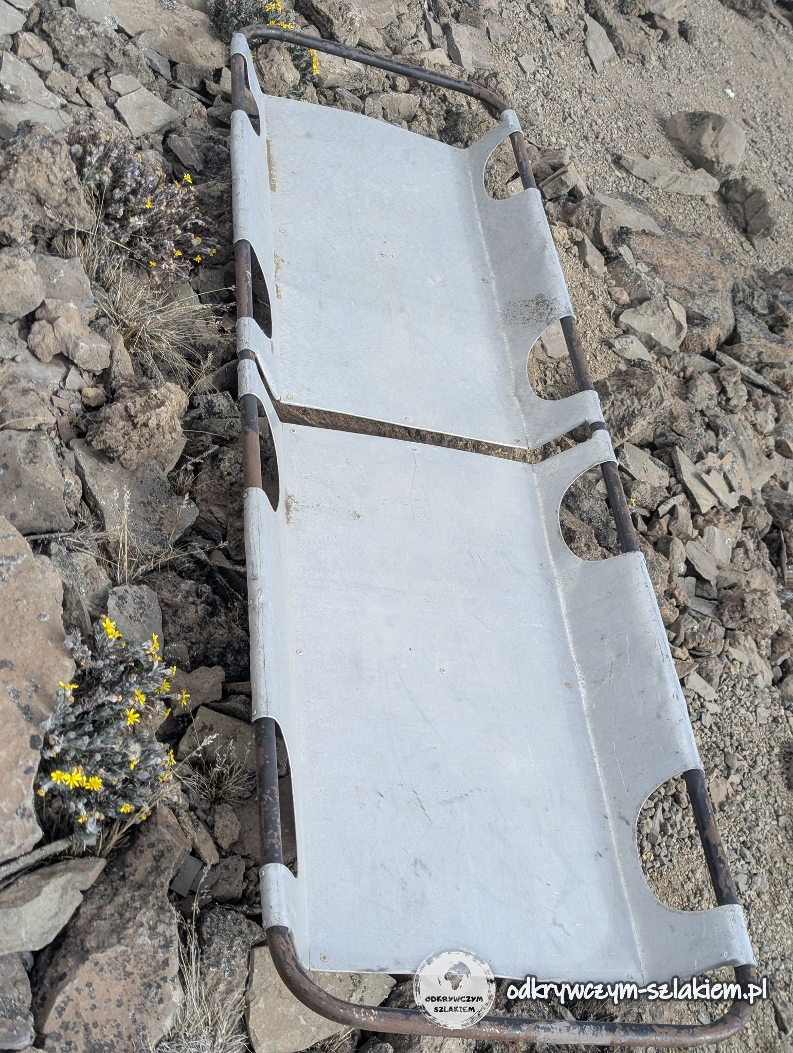
Unfortunately there was no time to walk up to the glacier or to the plaque commemorating Aleksander Doba – a Polish traveller and kayaker who died on the summit of Kilimanjaro in 2021. The priority was a safe descent: staying near the summit too long meant a risk of hypothermia.
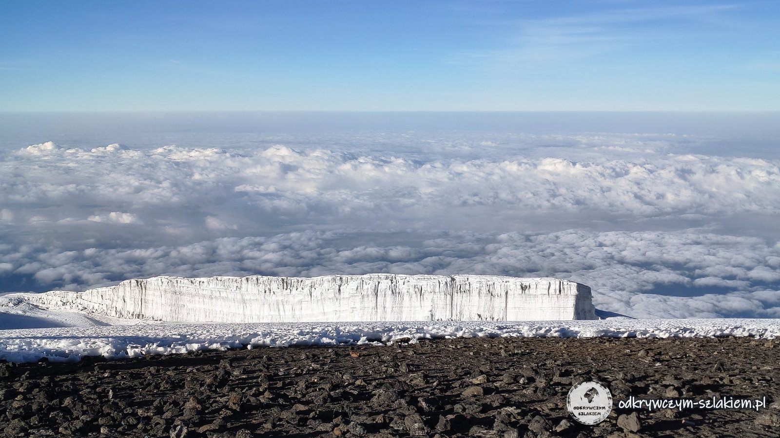
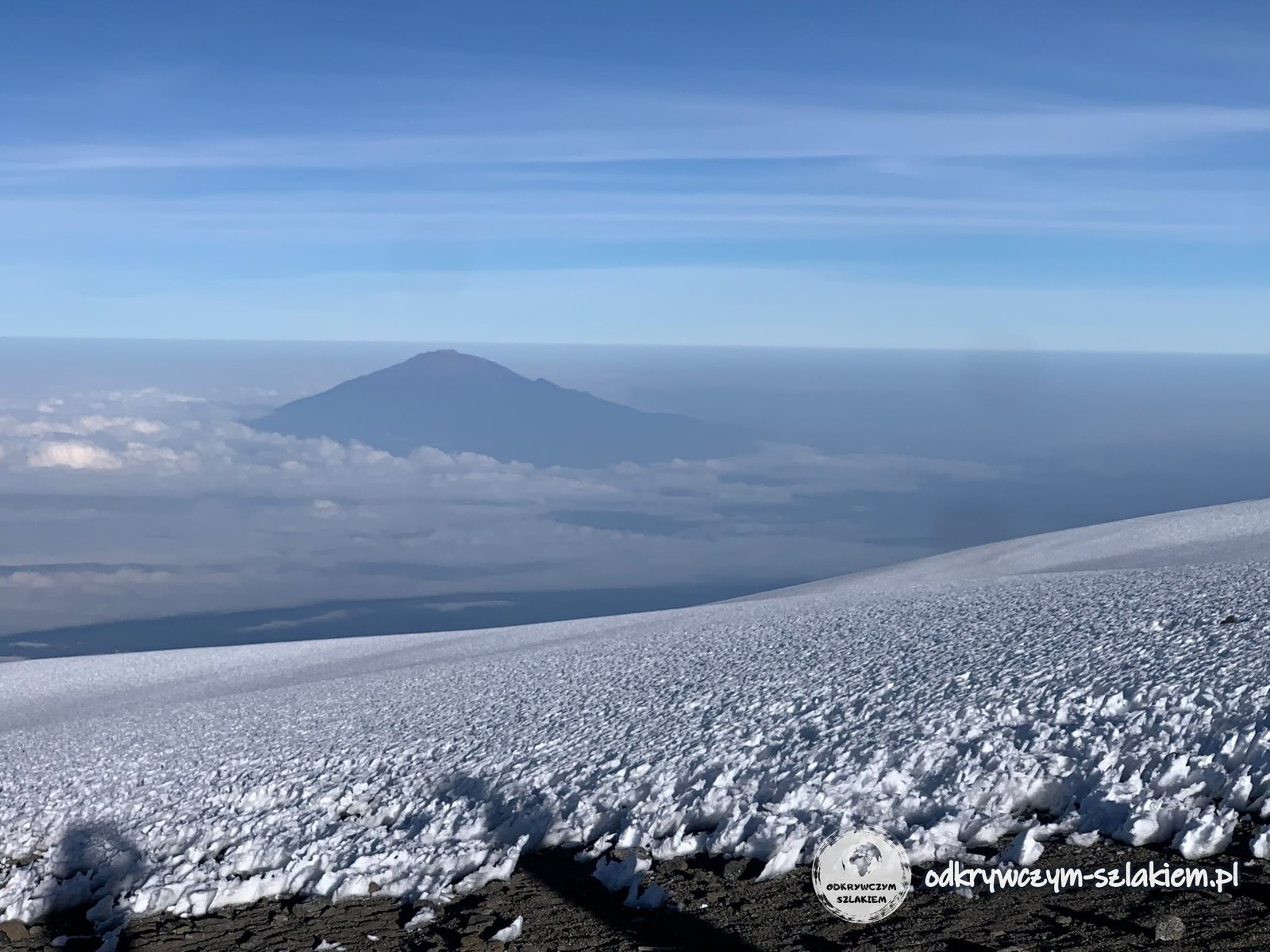
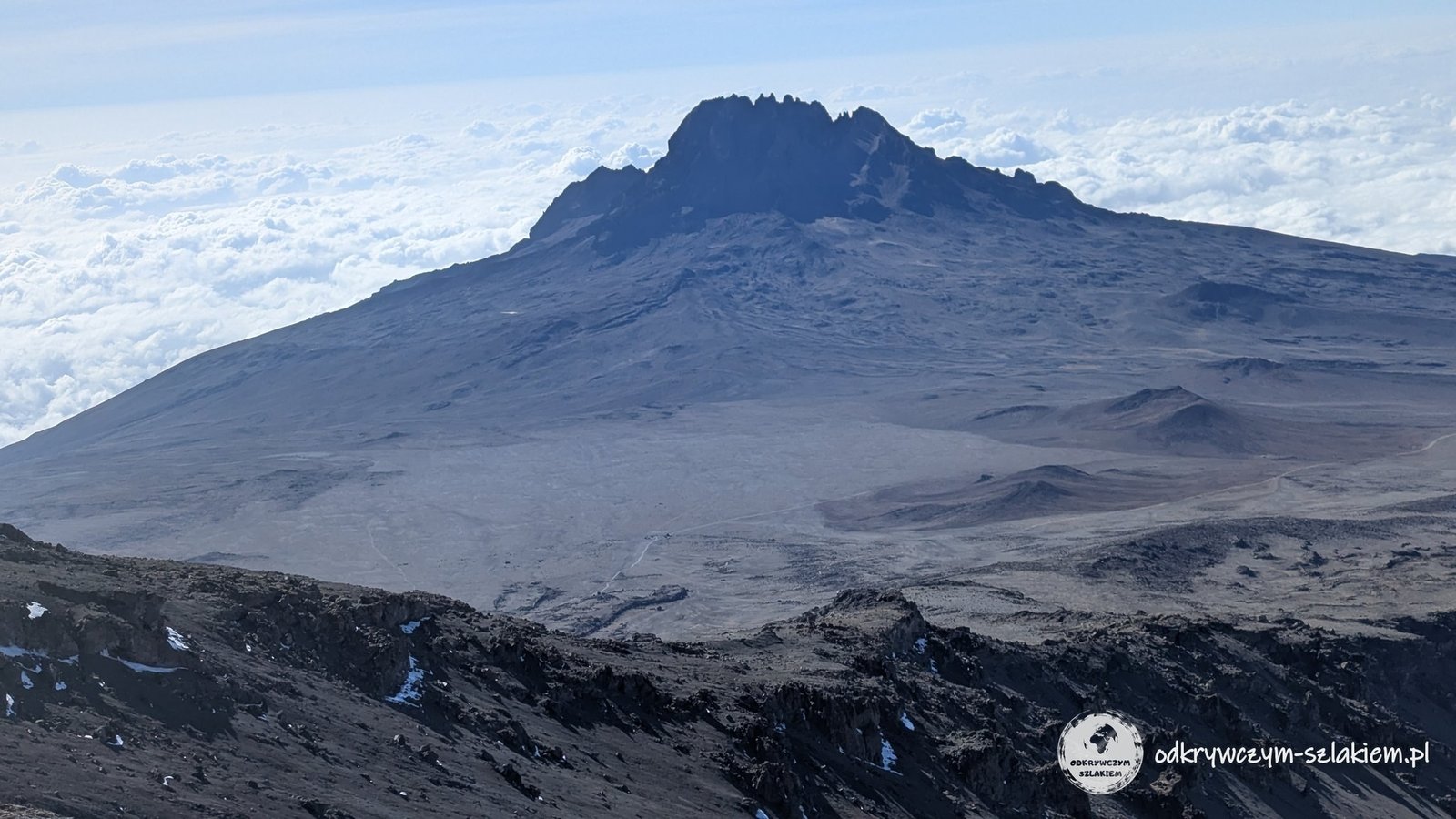
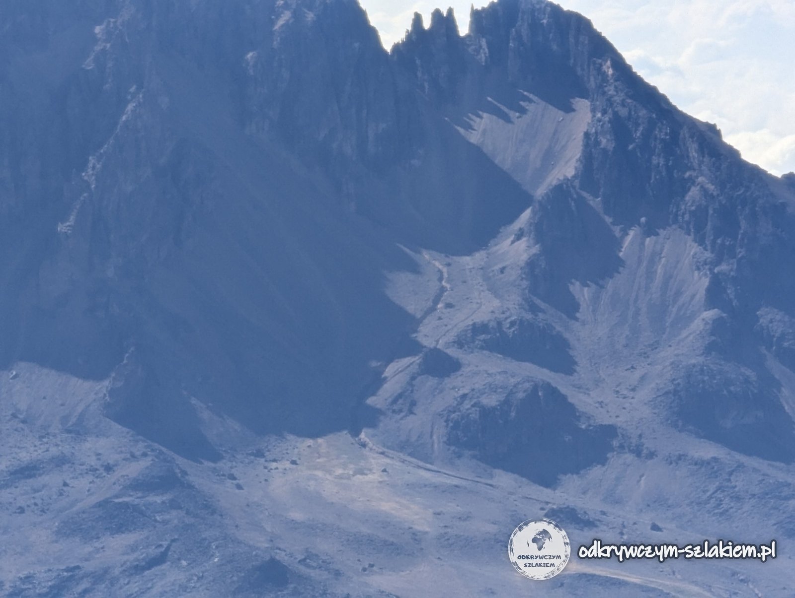
The views from the summit were beautiful – we had perfect weather – and during the descent the other great peak of Kilimanjaro, Mawenzi, was especially clearly visible. At one point I even made out a face in its shape.
Back at Barafu Camp we only had time for a short nap, lunch and repacking. But that was not the end of the day’s walking – we still had to go much lower. First about 1200 metres up to the summit, and then several kilometres of descent and almost 2.8 km vertically down.
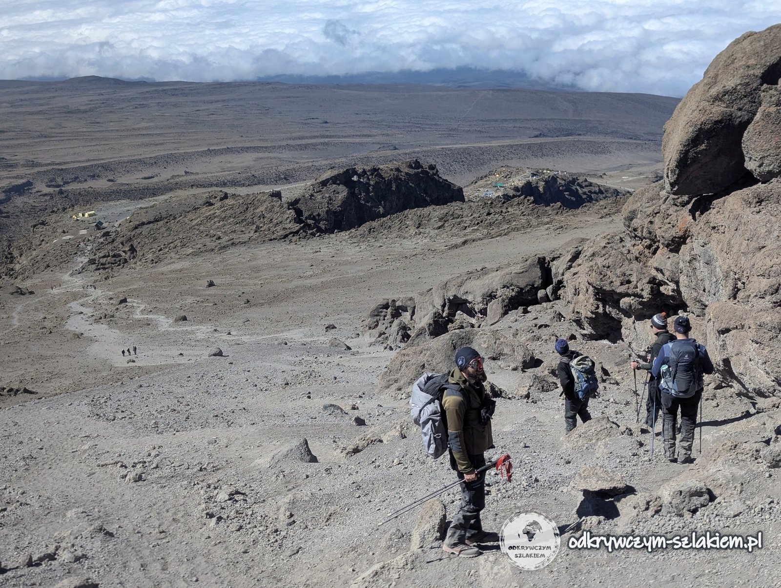
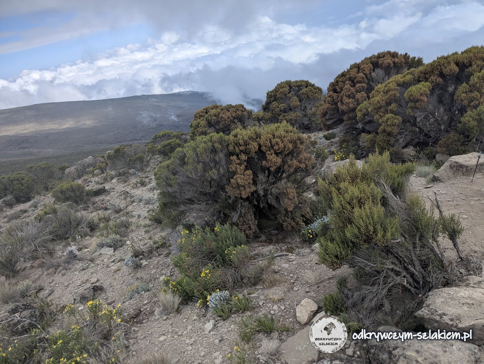
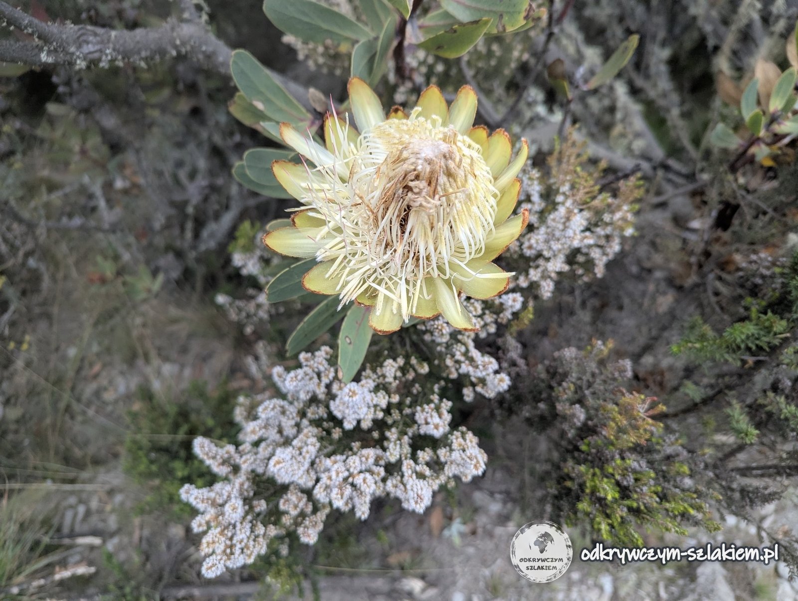
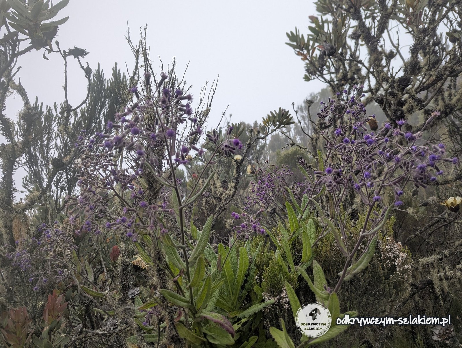
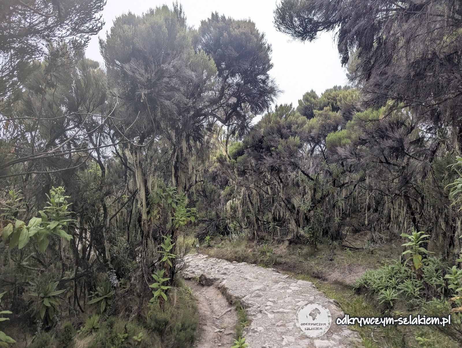
As we lost height, the vegetation slowly returned: first flowers appeared, then forest, and finally a camp already in the real wilderness – Mweka Camp (about 3100 m above sea level). After a whole day of walking we could also have our boots cleaned, as they had got thoroughly dusty.
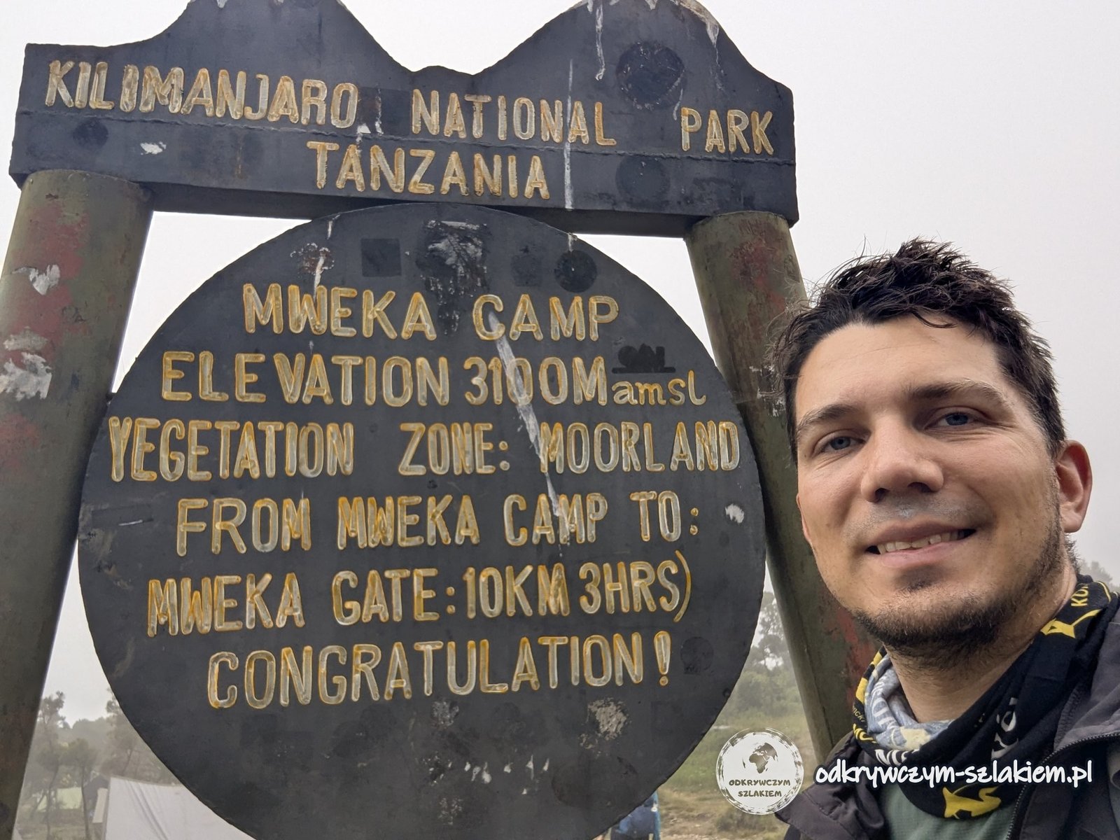
The day in brief: about 19.8 km, +1302 m elevation gain, −2739 m descent, highest point 5895 m a.s.l. (Uhuru Peak), overnight at Mweka Camp (about 3100 m a.s.l.).
Day VII: the descent
The last, seventh day of the trek – Friday 12 June – began with a small freak-out: I was convinced I had lost my phone. Luckily it had been lying in the tent the whole time. After that much exhaustion you apparently start looking for problems where there are none.
That day we basically had one task – to get down to the park gate, Mweka Gate, as quickly as possible. At first it went very smoothly, but later it started to rain, it got slippery and a couple of times I really had to catch my balance so as not to take an unplanned slide downhill.
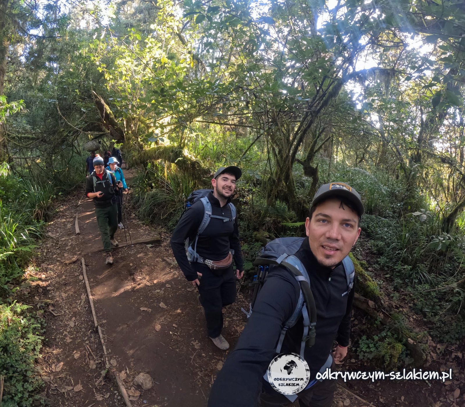
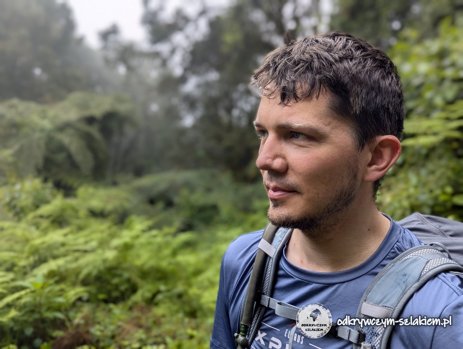
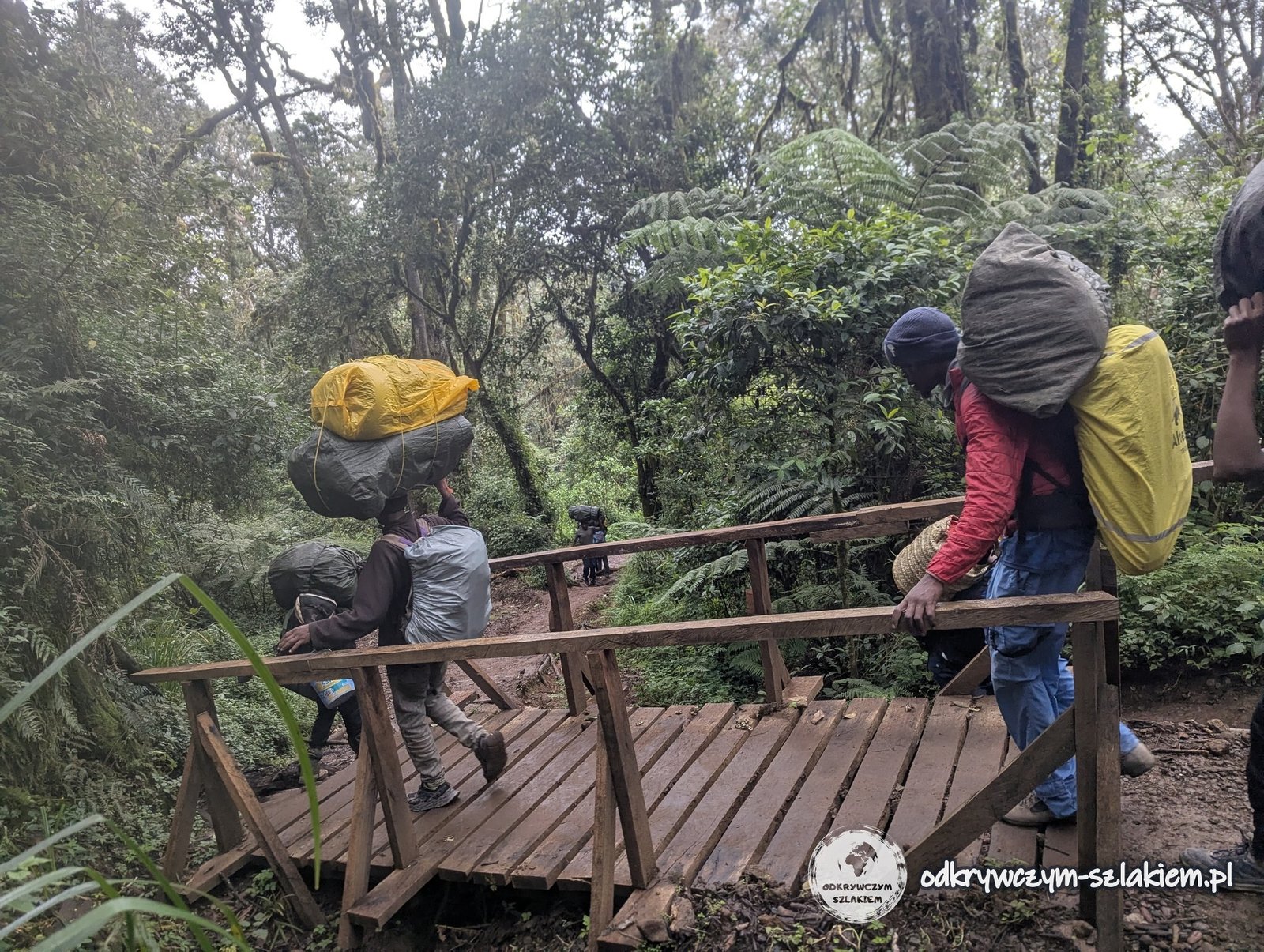
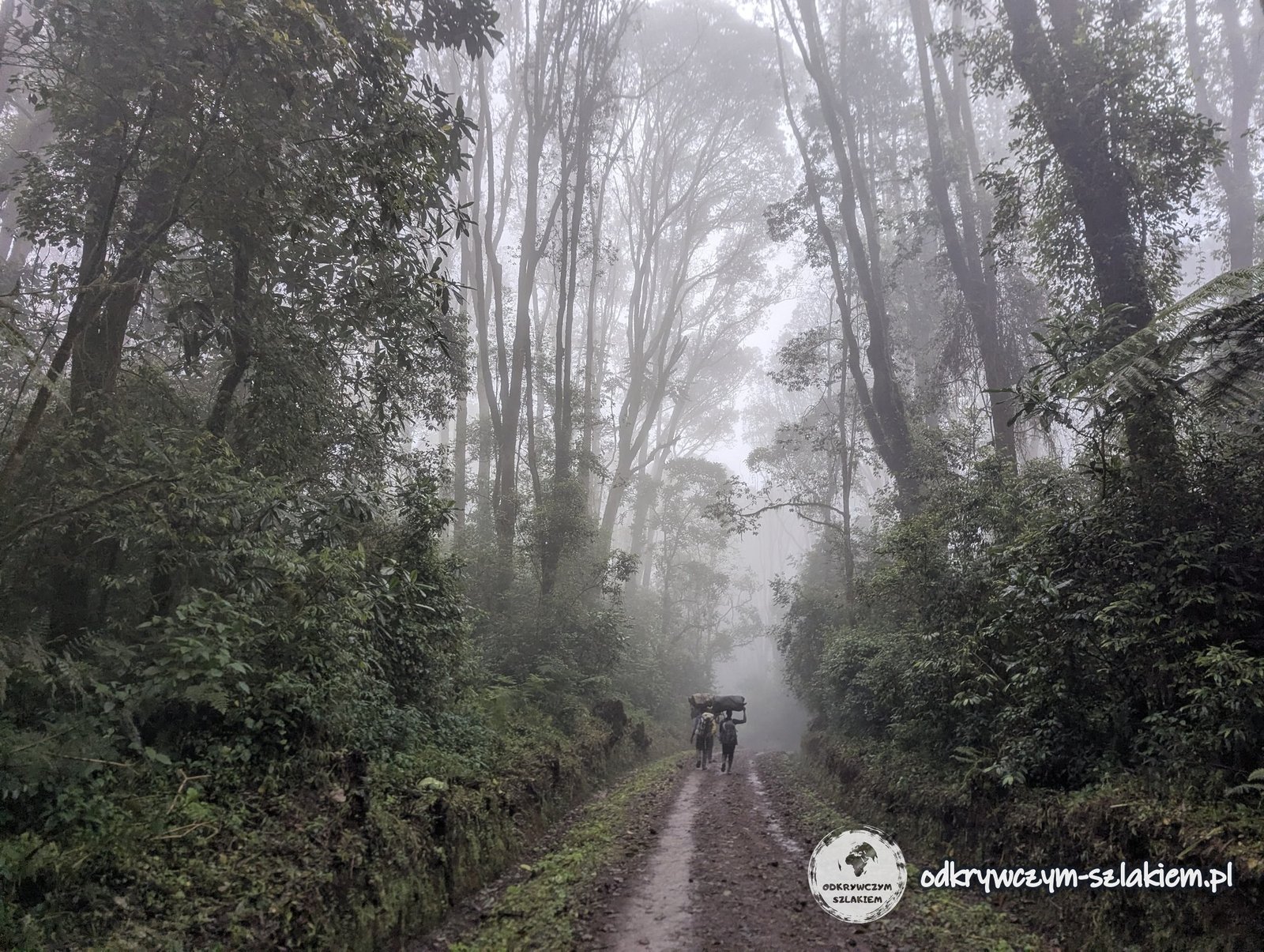
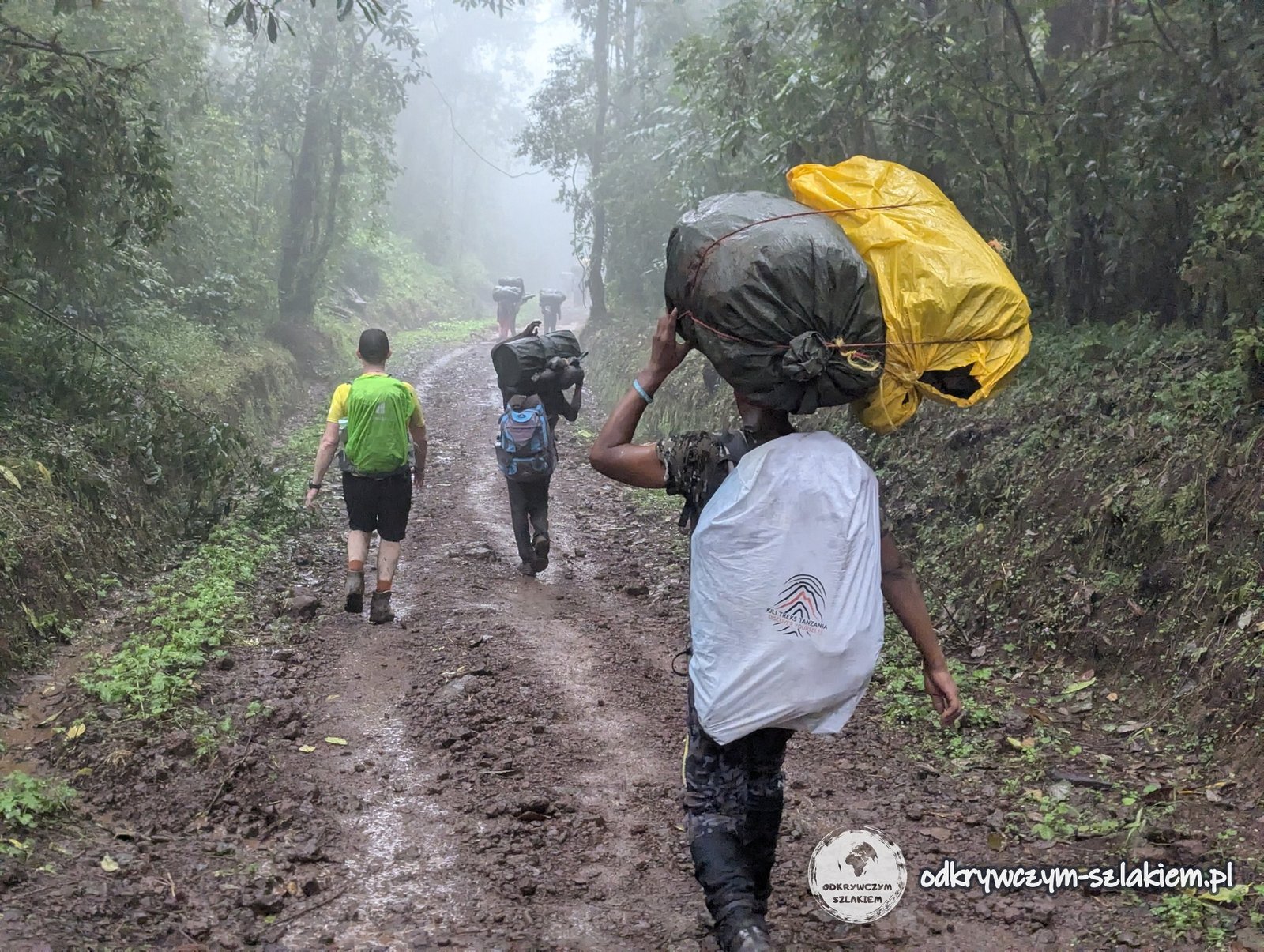
On the way I also managed to take a photo with my porter. It was a good opportunity to thank him for his work throughout the expedition: to learn his name, give him a tip and, above all, show my gratitude.
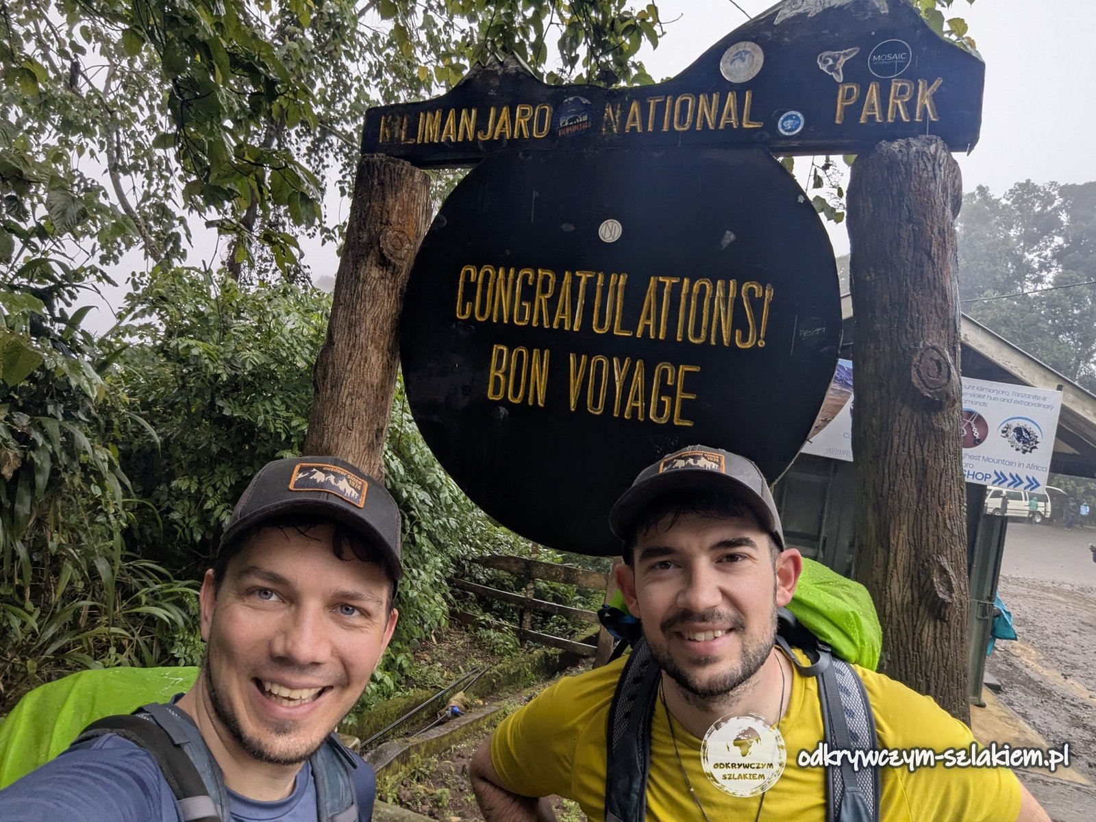
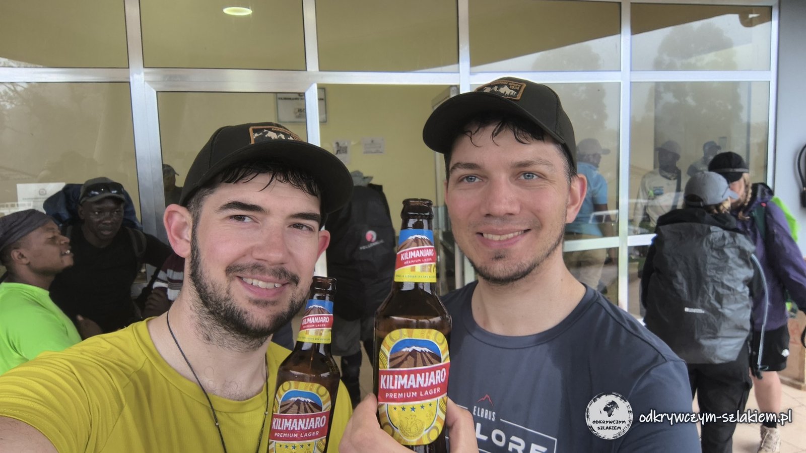
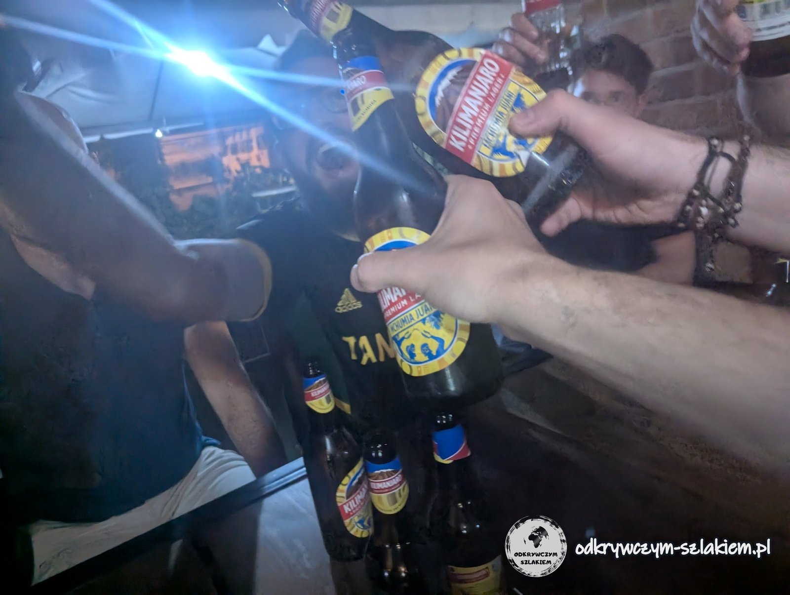
And finally we made it – we had done it! Someone came up with an idea that everyone picked up right away: we celebrate conquering Kilimanjaro with a beer… Kili. As my T-shirt said: if Tanzanians do not want to climb Kilimanjaro, they can always drink it. Of course, for the locals the mountain is above all a workplace, not a leisure destination – especially since climbing to the summit involves costs that are simply too high for many Tanzanians.
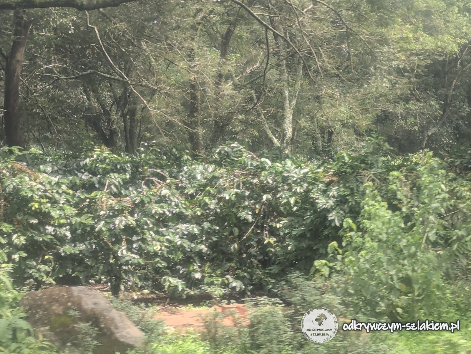
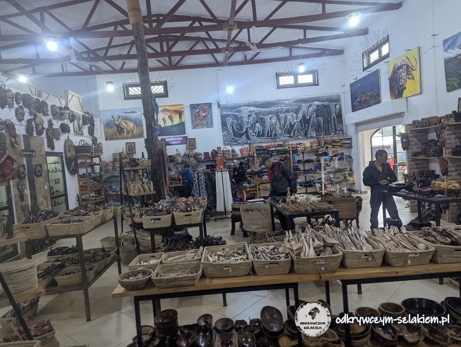
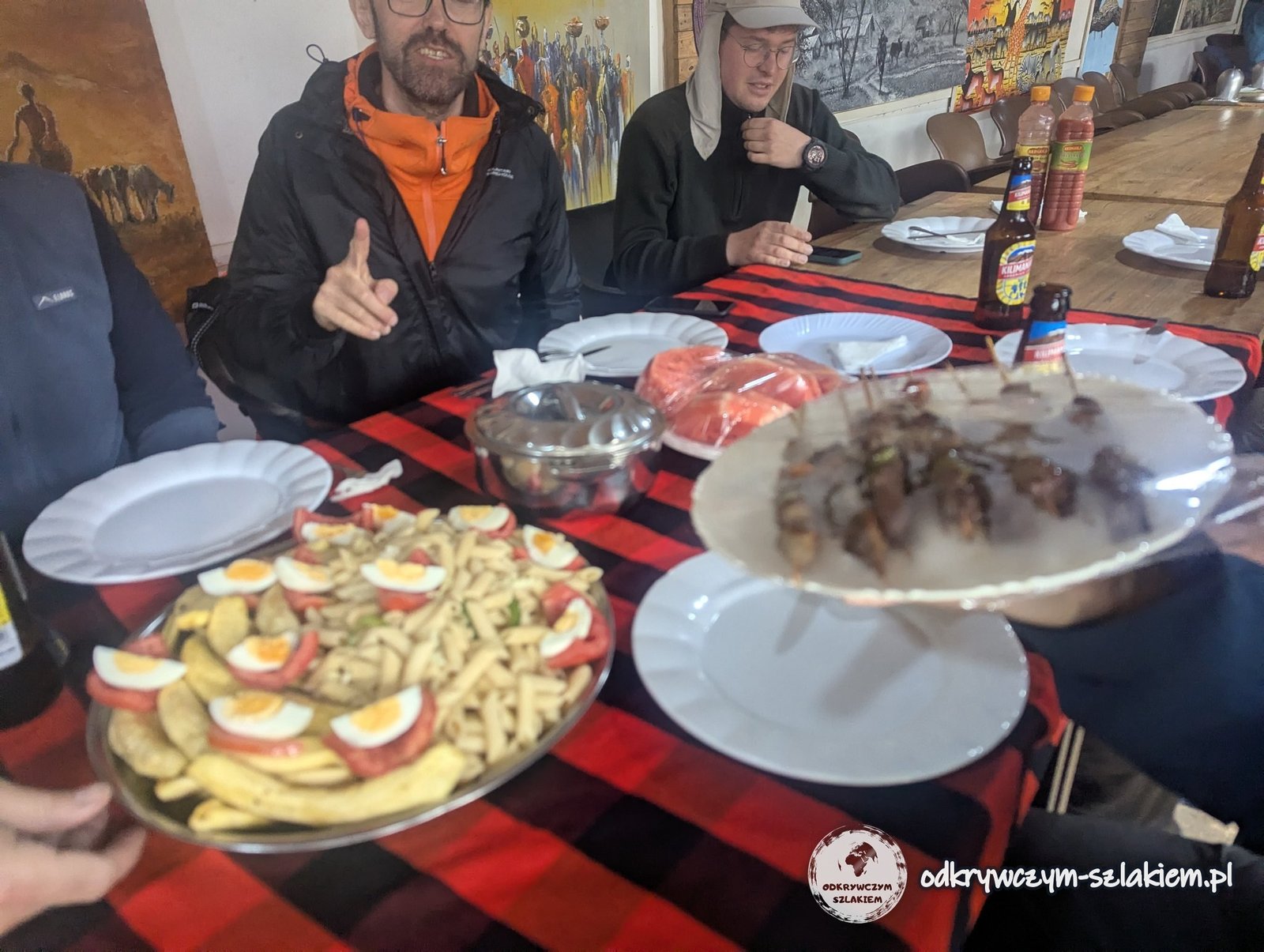
On the way to Moshi, from the windows of the minibus, we could once again watch the landscape at the foot of Kilimanjaro, including numerous coffee plantations – on the slopes of the massif it is mainly arabica that is grown. One last lunch together still awaited us, this time at a rather expensive tourist shop. After so many days spent together it was slowly sinking in that the expedition really was coming to an end.
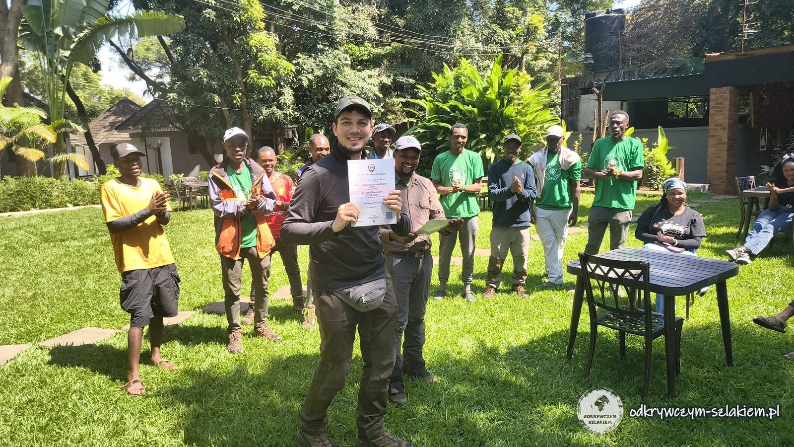
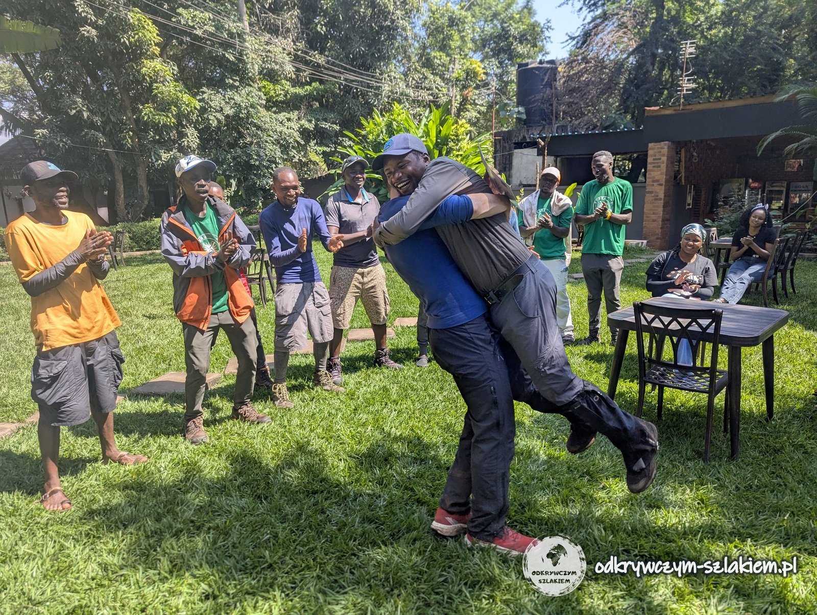
In Moshi we officially finished the trek: there was a certificate ceremony, congratulations and the first summaries.
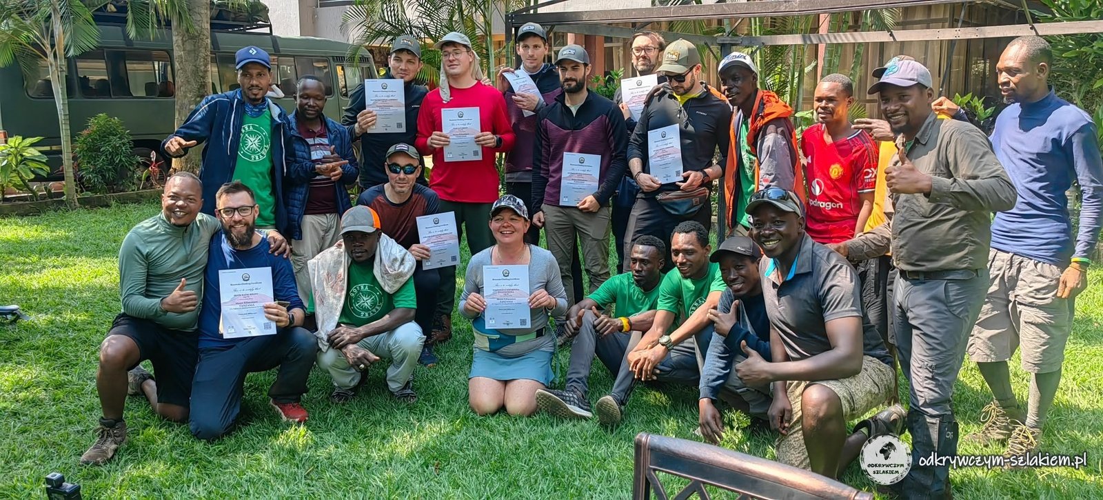
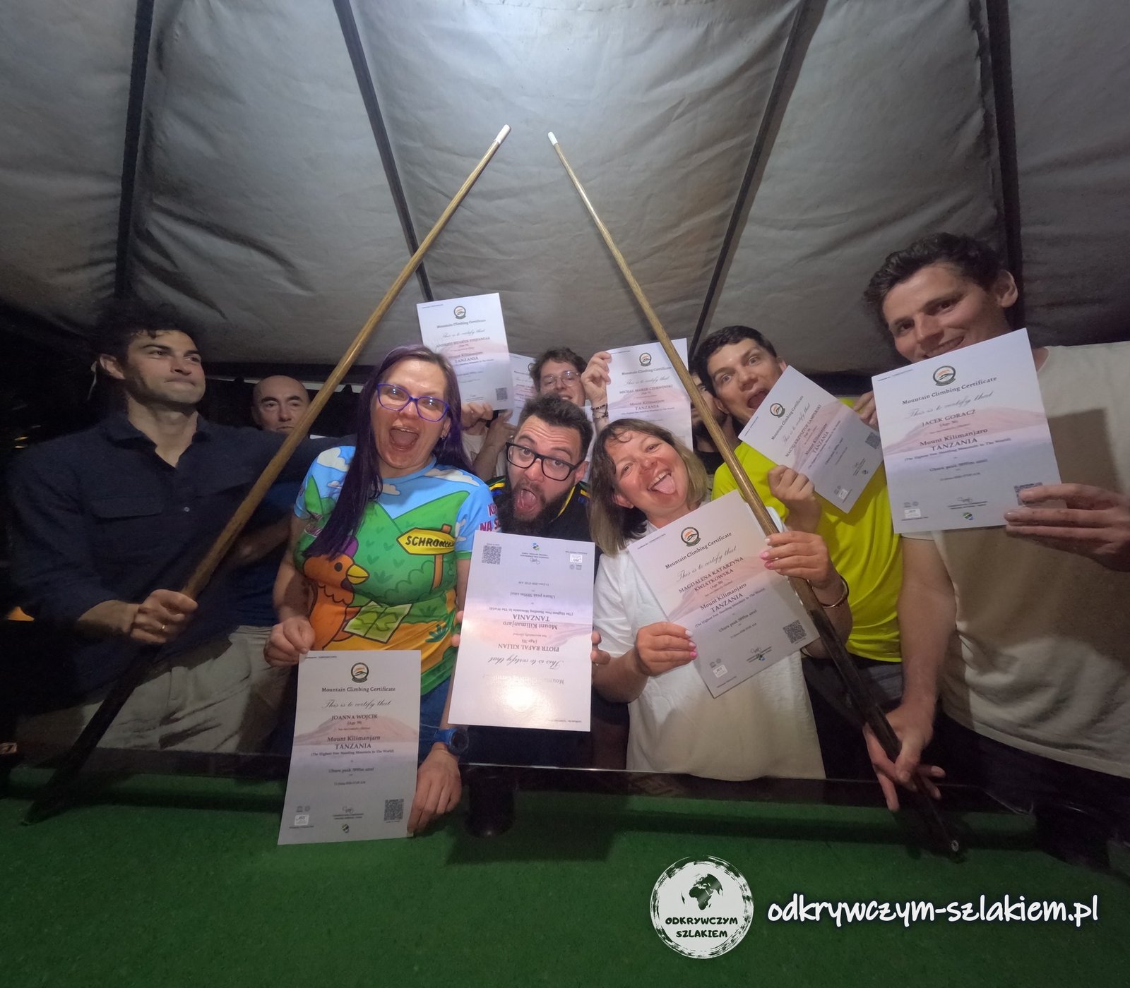
We also had our own internal ceremony, during which our master of ceremonies introduced each member of the group in an original way. There was a lot of laughter, and it is definitely one of those memories that will stay with us for a long time.
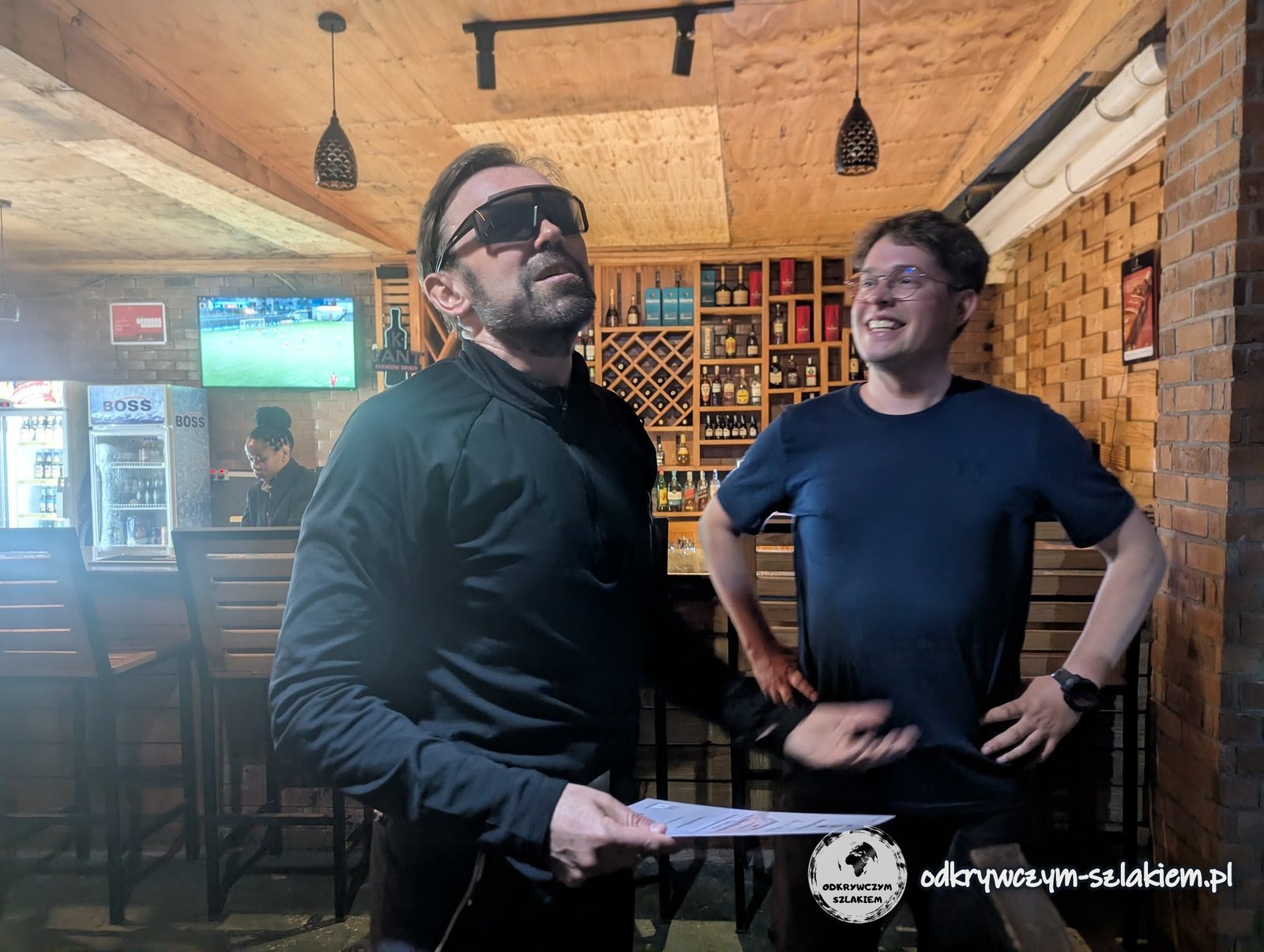
In the same place where a few days earlier we had celebrated my birthday, this time we celebrated conquering Kilimanjaro. It was also an opportunity to say goodbye to Jacek and Andrzej, who were leaving the expedition the next day. After seven days of trekking, thousands of metres of elevation gain, cold, mud, fatigue and many moments in which everyone had to face their own weaknesses, we could finally say: we did it.
The day in brief: 8.77 km of descent from Mweka Camp to Mweka Gate, then a minibus ride to Moshi.
Acclimatisation and the hardest moment – a summary
Climbing Uhuru Peak does not require great technical skills. The Barranco Wall, tackled on the fourth day, was a somewhat bigger challenge – a steep rocky scramble where at times you had to use your hands. The most important thing, however, was good physical fitness – and in that respect, in my opinion, we were well prepared.
Acclimatisation happened gradually throughout the trek, and we gained the most height in the first days. On the second and third days I felt a headache and weakness, but from the fourth day on things were much better. On the third and fourth days we hardly increased the altitude at which we slept – instead we traversed around the main summit, climbing and then descending again, which gave the body time to get used to the altitude. On the fifth day we reached the highest camp, on the sixth we set off for the summit and after reaching it descended roughly half of the height, covering the other half on the last day.
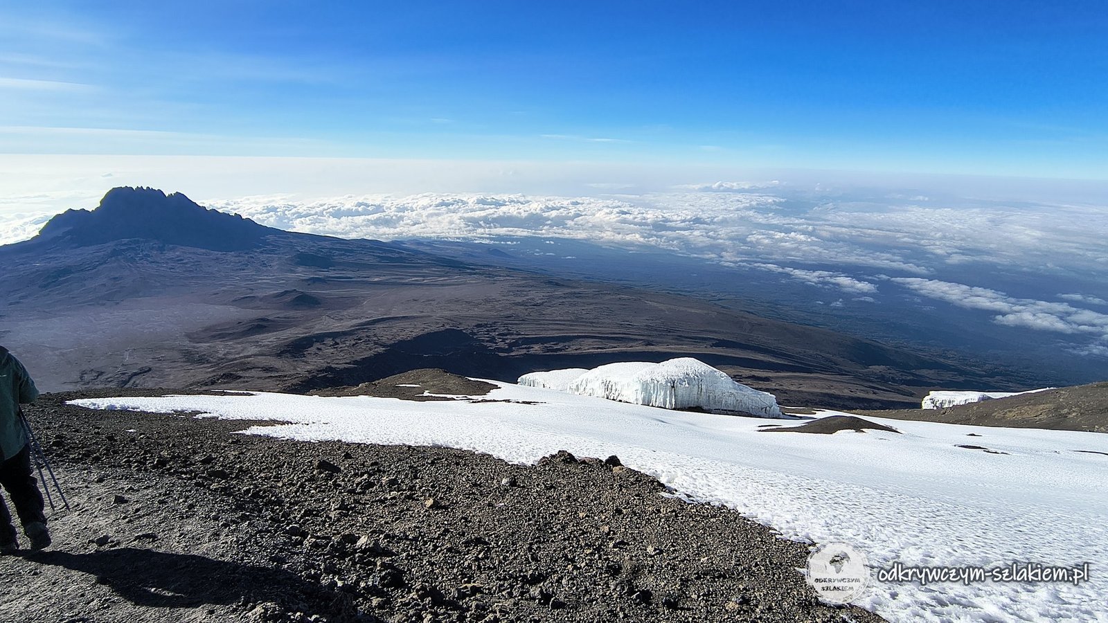
On the way to the summit we passed through five climate and vegetation zones. The landscape changed every day – from humid rainforest, through increasingly harsh high-mountain terrain, to the almost barren, freezing zone near the summit. The changing surroundings alone were one of the most interesting parts of the whole expedition.
The biggest challenge turned out to be the summit push. We set off after midnight, after a short sleep, and that was when both fatigue and altitude made themselves felt – some of us went through bigger or smaller crises, physical and mental. You had to face the cold, exhaustion, harder breathing and, above all, your own weaknesses. What got to me most was the cold: although in general I was well equipped, my gloves turned out not to be warm enough, and using the poles only made things worse. When we finally stood on Uhuru Peak, the satisfaction was enormous – all the effort, the preparation and the sleepless night were worth it.
Apart from Kilimanjaro, in Tanzania we visited, among other things, a village where coffee is produced and an impressive waterfall, went on a safari and visited the Polish cemetery in Tengeru. Kilimanjaro, however, was the main goal of this trip – and not only an expedition to the highest mountain in Africa, but also a test of the preparation, endurance and teamwork of the whole group.
Practical information
The key information about trekking Kilimanjaro via the Machame route – as of June 2026.
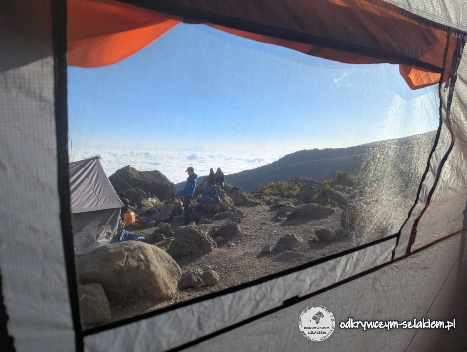
- Route – Machame, 7 days of trekking (6–12 June 2026). Stages: Machame Gate (1800 m) – Machame Camp: 11 km, about +1200 m; Machame Camp – Shira Cave Camp (about 3750 m): about 7 km, +900 m; Shira Cave Camp – Lava Tower (about 4630 m) – Barranco Camp (3900 m): 11.3 km, +835/−644 m; Barranco Camp – Barranco Wall – Karanga Camp (3995 m): 5.6 km, +428/−359 m. Karanga Camp – Barafu Camp (4673 m): 4.27 km, +631 m; summit push Barafu Camp – Stella Point (5756 m) – Uhuru Peak (5895 m) and descent to Mweka Camp (about 3100 m): about 19.8 km, +1302/−2739 m; Mweka Camp – Mweka Gate: 8.77 km. In total the trail is about 62 km long, with about 5400 m of ascent and about 5600 m of descent. Technically the hardest part is the Barranco Wall (day 4); apart from that, good fitness is enough. According to the organiser, the 7-day Machame variant has a summit success rate of about 90–95%, while shorter routes can be as low as about 60%, because they leave less time for acclimatisation.
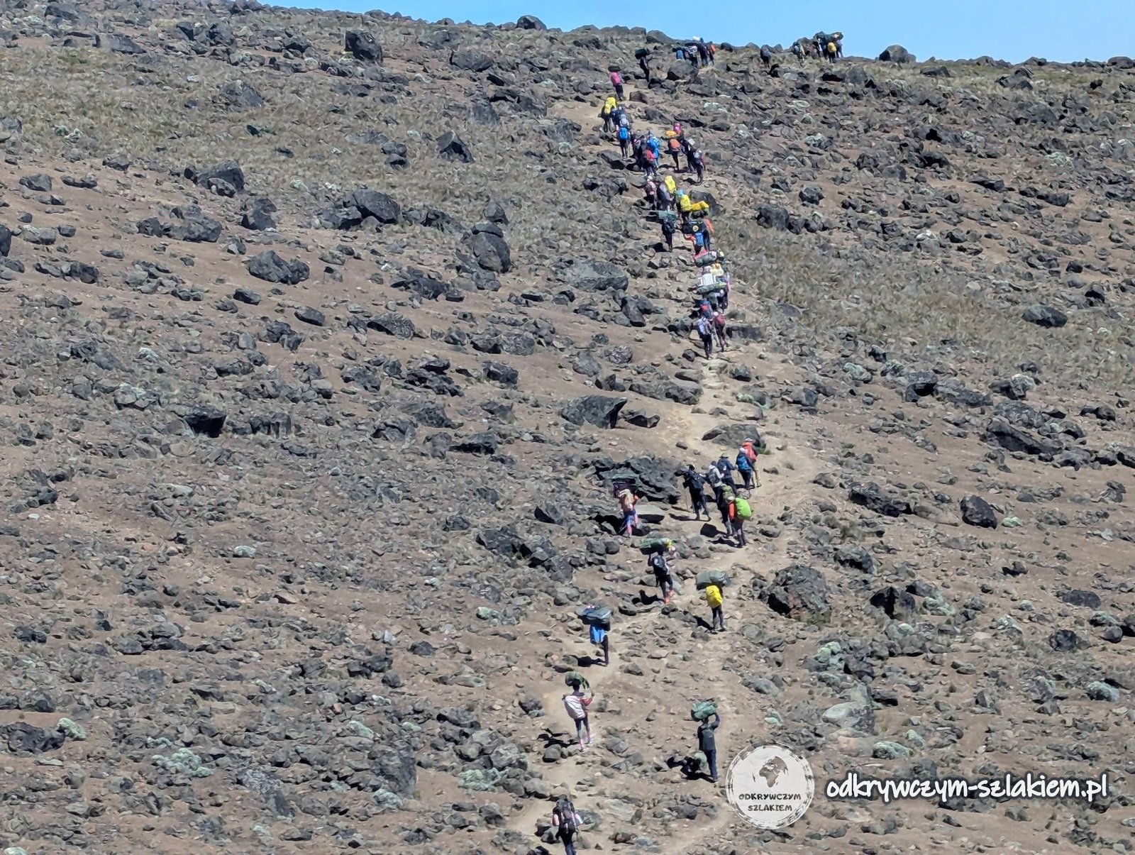
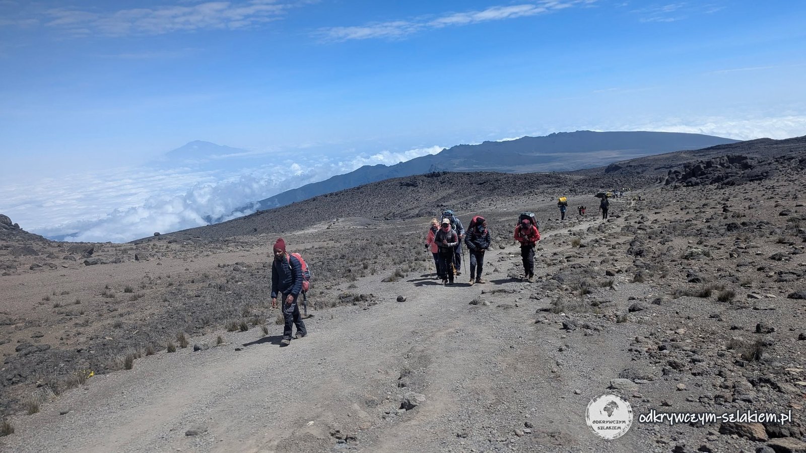
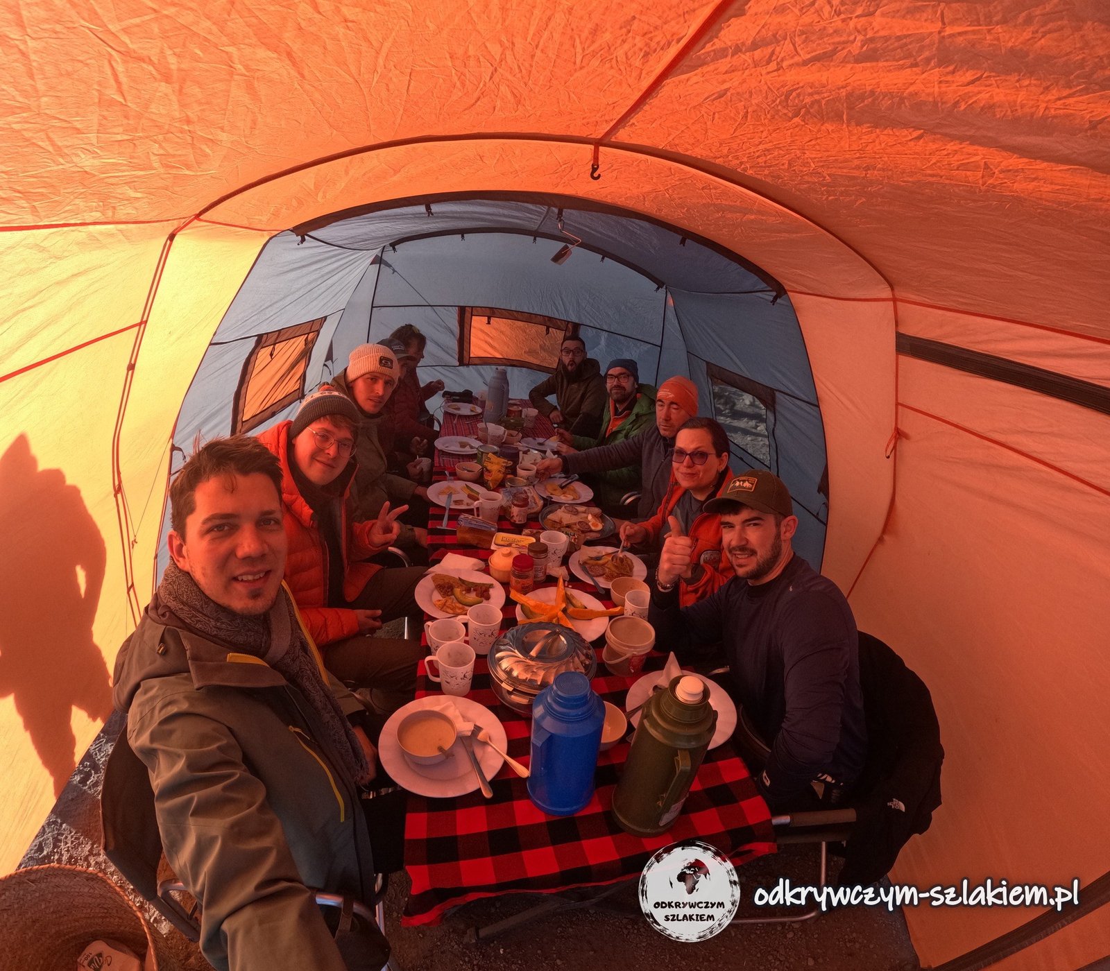
- Organisation – we booked the expedition as a group of ten with the travel agency Gonna Travel (with a Polish-speaking tour leader); on the ground it was run by a local agency with guides, cooks and porters. The porters carried the tents, the camping equipment and our main bags, and we carried only daypacks. The tents were waiting for us, already pitched, in every camp. For 10 participants there were 33 members of the local crew – you do not climb Kilimanjaro on your own. Each day there were two main meals and a modest lunch, and our water bladders were filled with water for the trail.
- Checks at the gate – the park checks luggage; you are not allowed to bring in, among other things, plastic bottles and bags, knives, drones or alcohol.
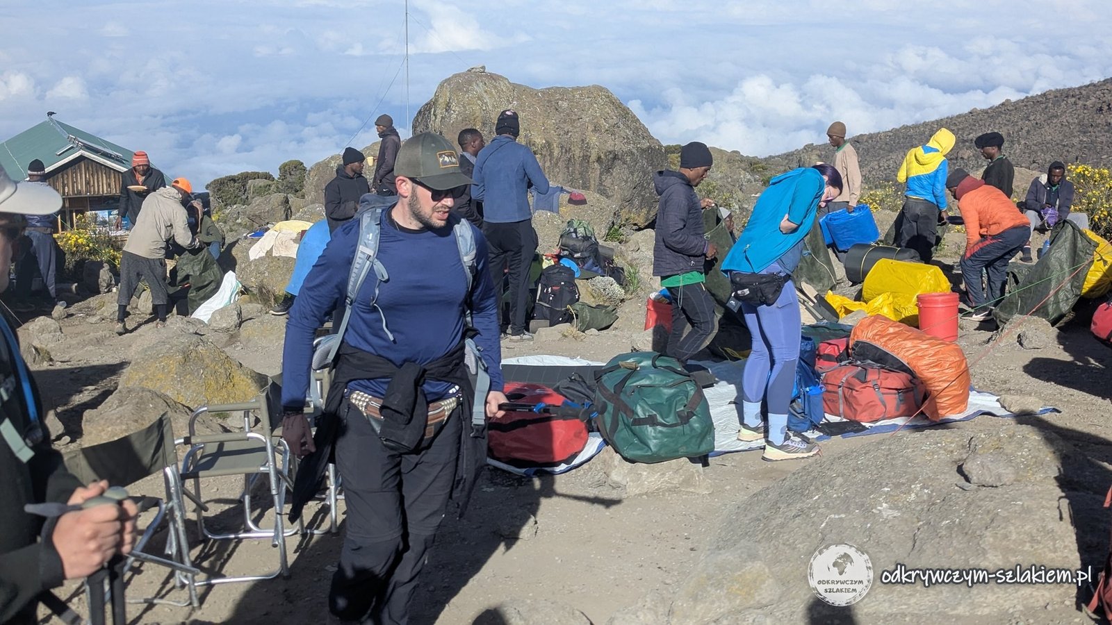
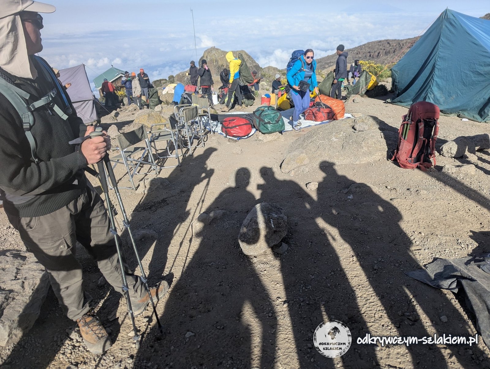
- A day on the trail – wake-up at about 6:30 with coffee or tea in the tent, breakfast at 7:00, departure at 7:30; lunch at about 14:00, snacks at about 16:00, dinner at about 18:30. Every evening saturation and pulse were measured and entered on a medical form.
- Acclimatisation – “pole pole”, meaning slowly, and the rule “climb high, sleep low” (on the third day lunch at Lava Tower at about 4630 m, overnight lower down, at Barranco Camp). I drank 3–5 litres of water a day. My readings: 90%/90, 87%/99, 86%/106 (the worst day – after Lava Tower), 88%/98. A reading above 80% was considered fine and none of us ever dropped below it. I had a headache and felt weak on days 2 and 3; from day 4 on I was fine.
- Summit push – wake-up at about 23:00 after about 5 hours of sleep, departure from Barafu Camp at about midnight, about 7 hours of walking to Uhuru Peak. Breaks last 5 minutes at most and come no more often than once an hour, so at each one you have to choose: eating, drinking or the toilet. At night it can be about −20°C (wind chill as low as −30°C) – the most important things are really warm gloves and a spare pair, because with poles your hands freeze fastest. In June crampons were not needed. There is no time for a long stay on the summit – be prepared for the possibility that there will not be enough time to walk up to the glacier.
- Gear – a well-adjusted and not too heavy daypack (mine was too heavy on the first day and I ended up with a sore neck), a tested water bladder – four broke in our group – and a spare water bottle, layered clothing (thermal underwear, fleece, softshell, windproof jacket, balaclava), a headlamp, trekking poles (on the Barranco Wall they go into the backpack), sturdy boots – there is a lot of mud on the first day – and wet wipes, which replace the shower. At night a pee bottle comes in handy (you do not have to leave the tent and get cold), and it is a good idea to keep your most valuable things and documents in your sleeping bag.
- Water and toilets – the agency tops up the drinking water; the last place with access to water is on the way to Karanga Camp, so there is less water at Barafu Camp. The agency had a portable toilet in a tent, and there are also simple toilets along the trail.
- Mobile signal – very weak on the trail; sometimes it was impossible to send a message for hours. It worked best at Karanga Camp.
- Tips – they were not included in the price of the expedition; I spent US$130 (about €112) on tips for the agency’s crew.
- Cost of the whole trip (1–16 June 2026) – about €4,450 in total (about US$5,163): the Gonna Travel base price about €2,960 (about €1,580 + US$1,600), flights about €830, visa about €43, tips about €112, on-site spending by card about €235 and in cash about €260, eSIM about €18. Details of getting there and the visa are in the separate post about our first days in Tanzania.
- What the base price included – a Polish-speaking tour leader, transport and transfers on the ground, the 7-day trek on the Machame route with local English-speaking guides, Kilimanjaro National Park fees, nights in tents, meals on the trek and on safari, a 2-day safari (Tarangire and the Ngorongoro Crater), a visit to the Chagga people with a coffee plantation and the Marangu waterfall, travel insurance and contributions to guarantee funds. It did not include flights (the organiser estimated them at about €700–1,150), the visa (US$50, paid on arrival), the customary tips or attractions outside the plan. The US$1,600 part was paid in cash on the spot.
Photo gallery