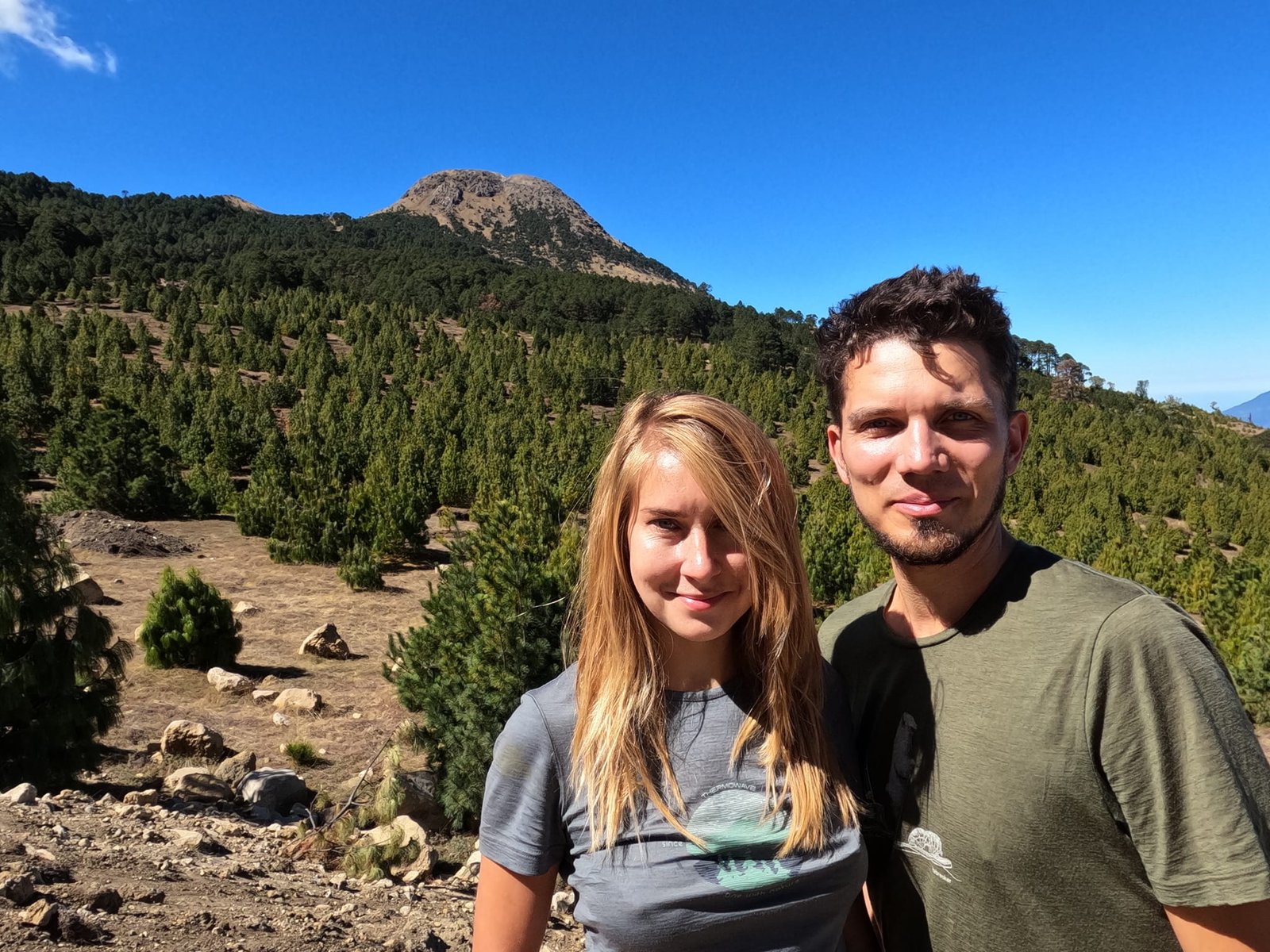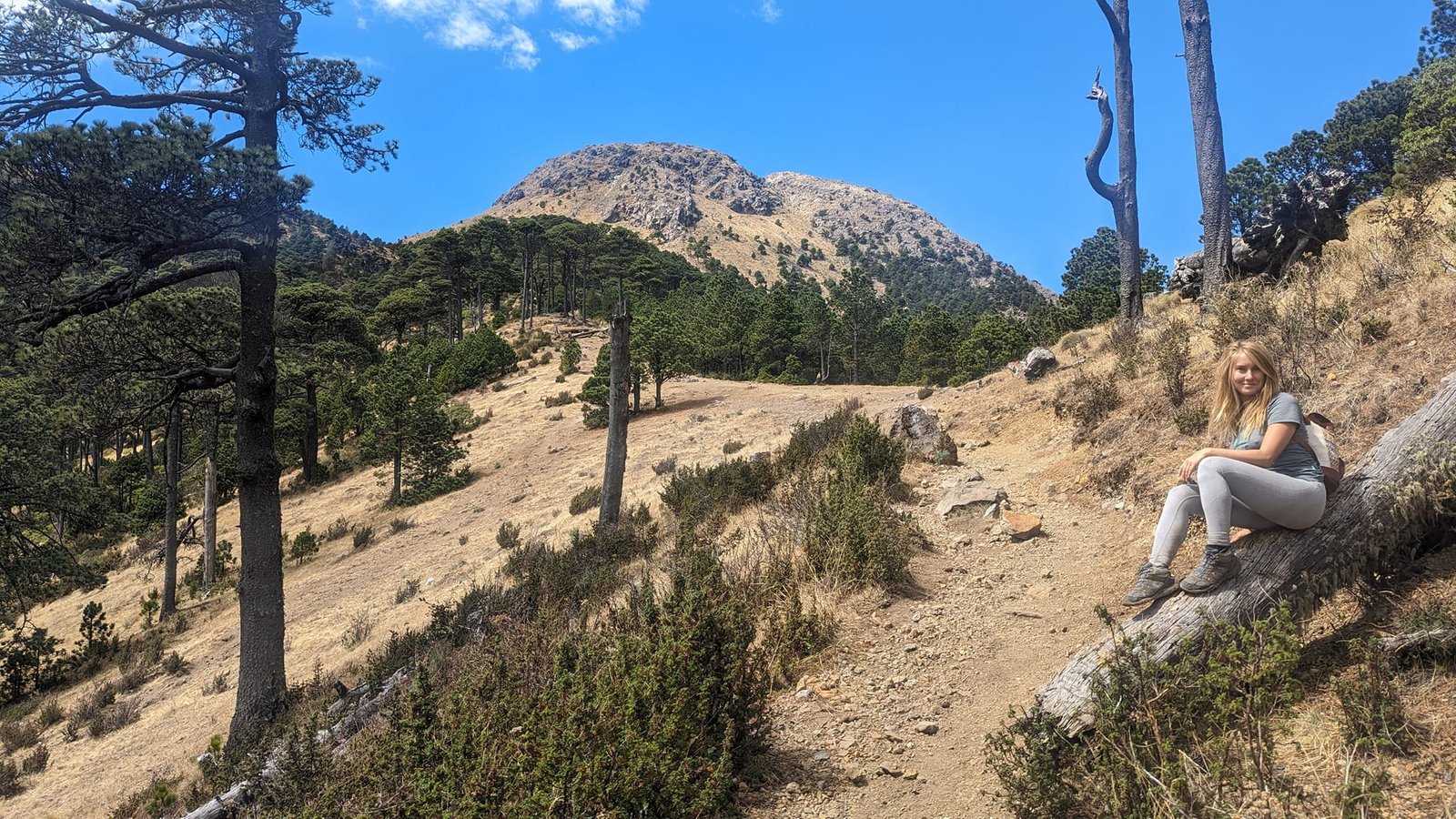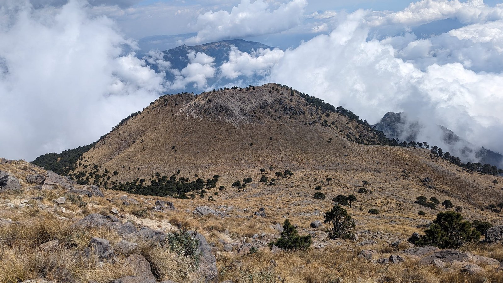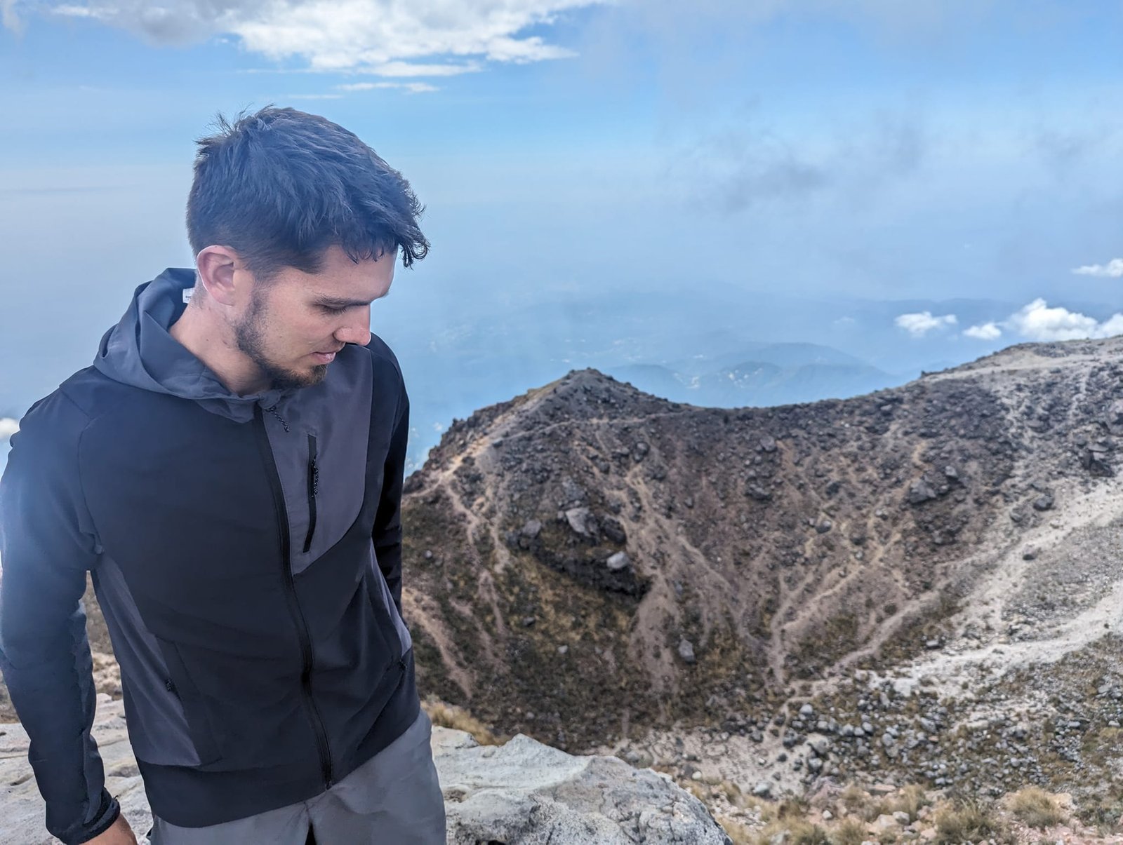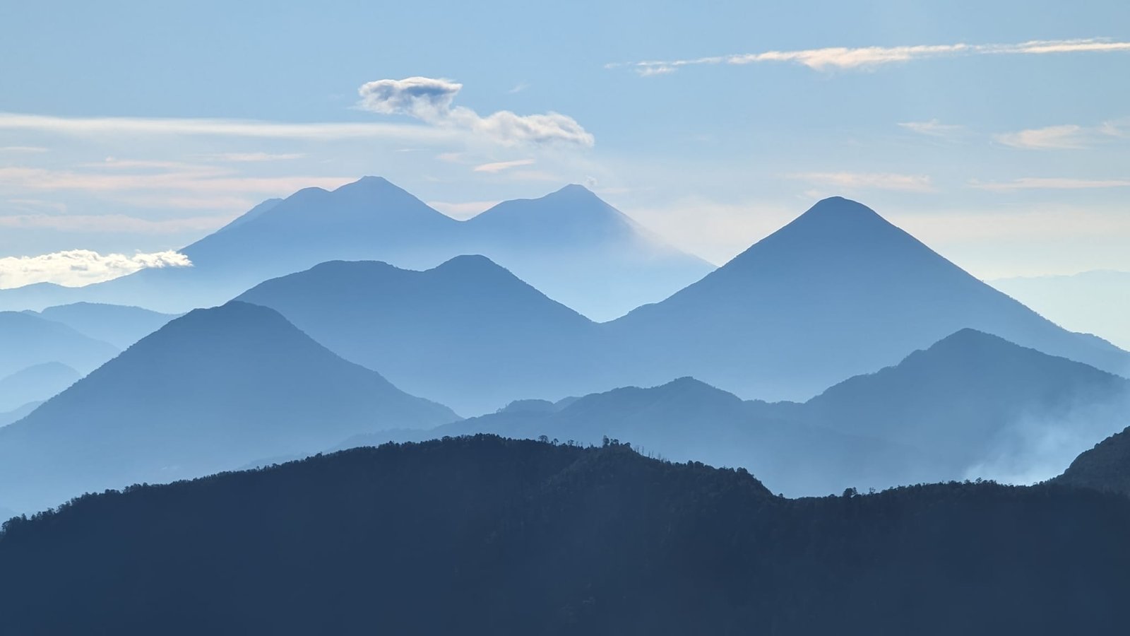
In February 2024 our base was Quetzaltenango, which everyone calls Xela – a mountain city in western Guatemala. Towering over Xela is the Santa María volcano (3772 m), and not far away stands Tajumulco (4220 m) – the roof of Guatemala and of all of Central America. We climbed both on our own, without a guide: Tajumulco on 12 February, and Santa María twice, the last time on 14 February. Santa María is our favourite volcano in Guatemala – from the summit you can see about 10 other volcanoes, and you watch the regular eruptions of Santiaguito from above. Climbing Tajumulco, in turn, was one of my priorities in the country, and it turned out to be our first four-thousander. A short overview of all the volcanoes we climbed in Guatemala is in the post Volcanoes of Guatemala.
Table of contents
- Santa María – the volcano above Xela
- Climbing before dawn
- Santiaguito’s eruptions and a panorama of volcanoes
- Tajumulco – a day trip from Xela
- On the roof of Central America
- Practical information
Santa María – the volcano above Xela
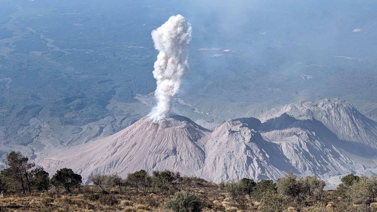
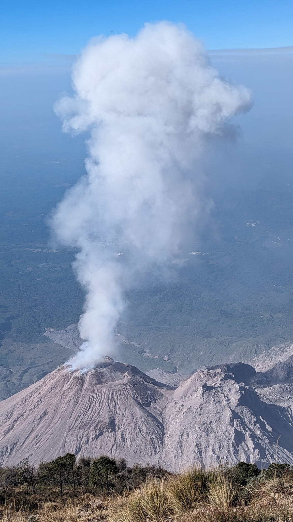
What makes Santa María special is that it has an active “child”. The huge eruption of 1902 tore an enormous crater into the volcano’s flank, and in 1922 the Santiaguito lava dome complex (2550 m) – really a part of Santa María – began to grow inside it. Since then Santiaguito has been constantly making itself known, throwing steam and ash into the air on average every half hour. It is one of Guatemala’s three permanently active volcanoes, alongside Fuego and Pacaya.
We climbed Santa María twice. The first time we set off at 6:00, and that was a bit too late: we saw Santiaguito’s first eruption in good weather, the second one still reasonably well, and the third one already in the clouds. But we liked it so much up there that we came back – I also wanted to take photos once more. The second time, on 14 February, we were at the trailhead at 4:30.
Climbing before dawn
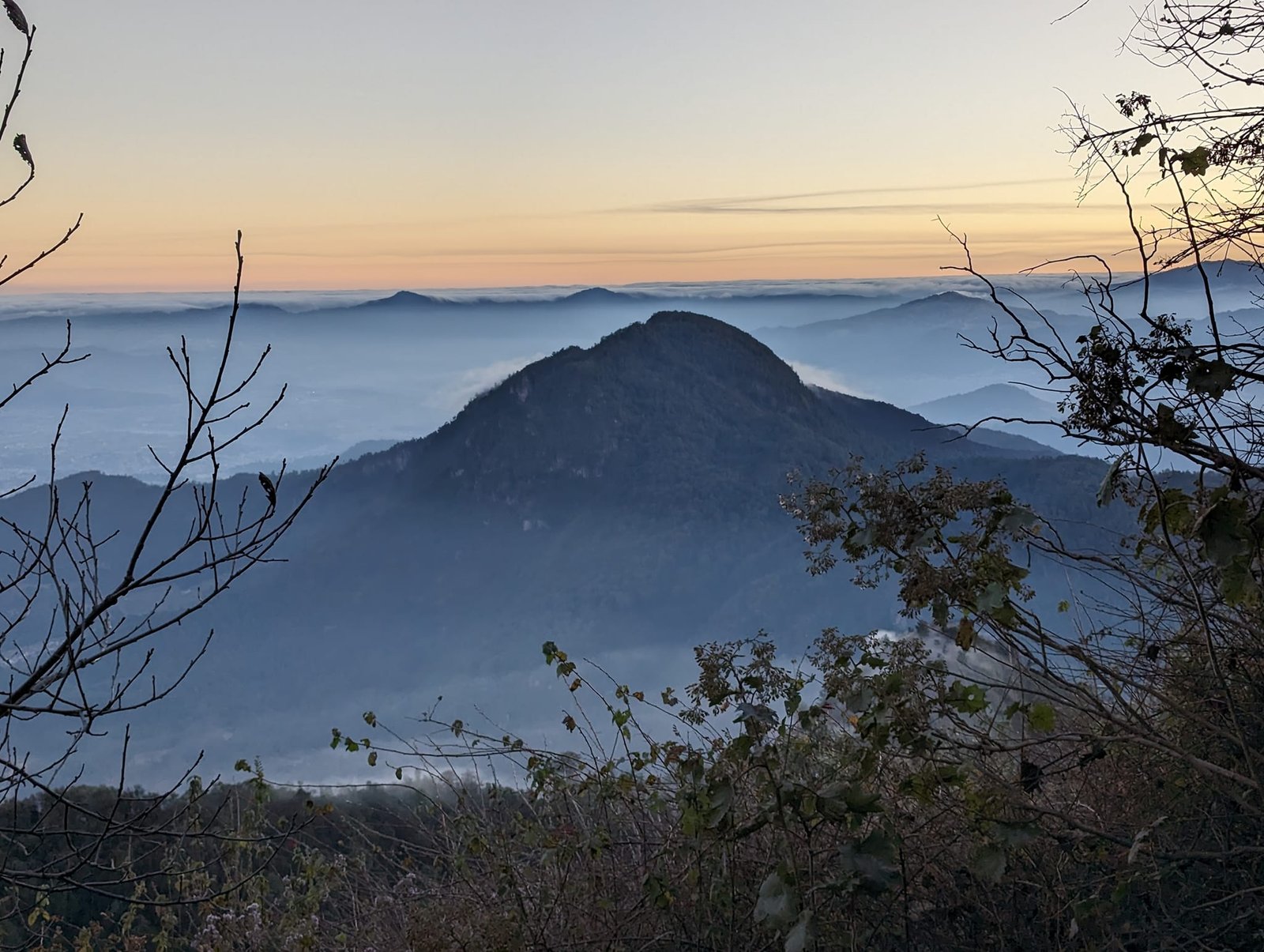
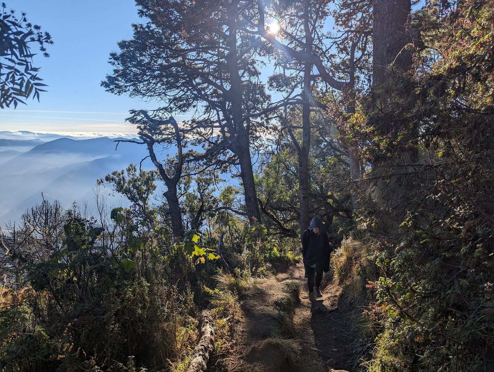
After 10–11 a.m. clouds regularly roll in at this altitude and visibility drops sharply, so you need to start by 6:00 at the latest. An interesting option is climbing for sunrise – you just have to dress well, get up early and accept that you walk half the way in the dark.
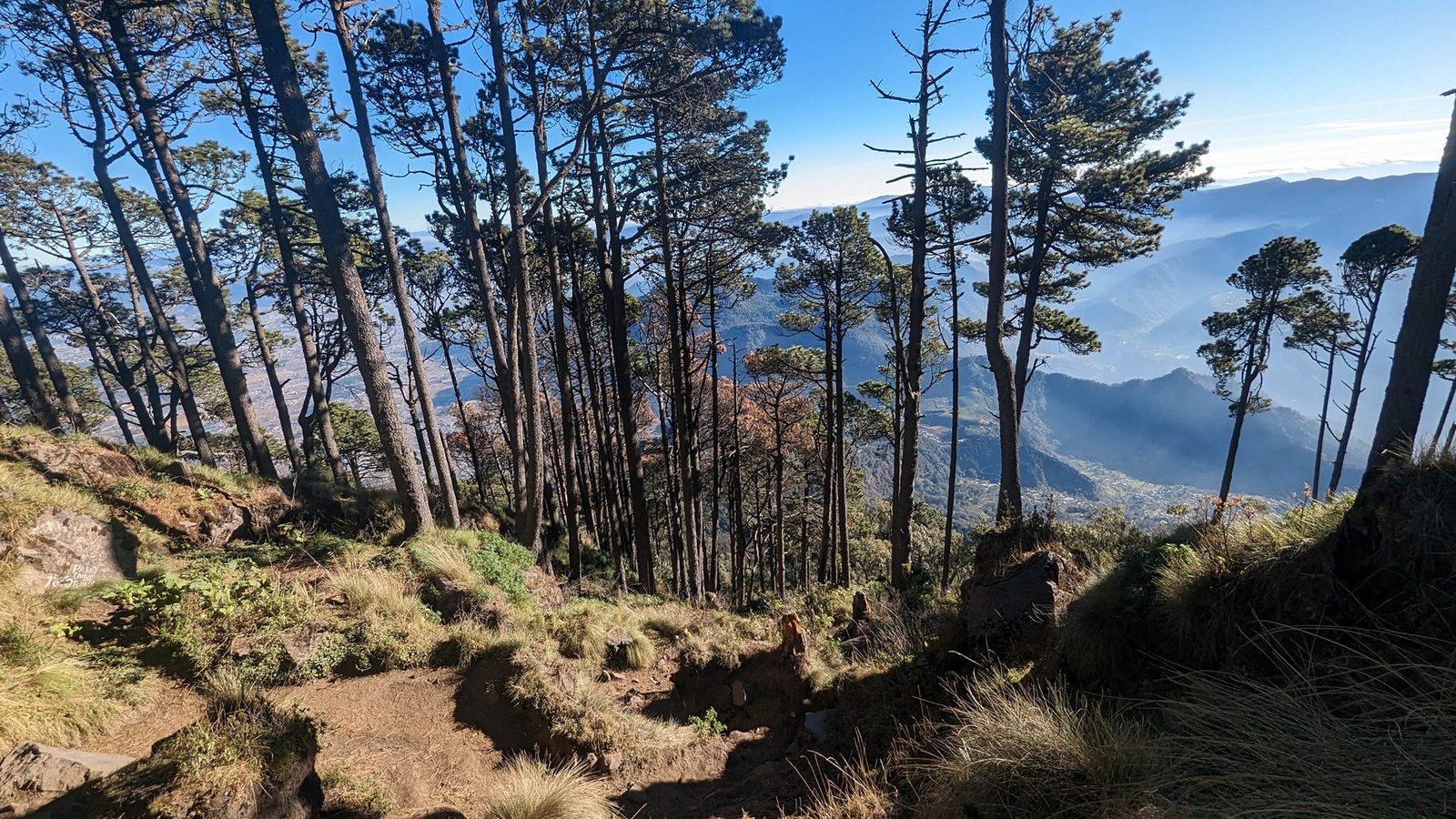
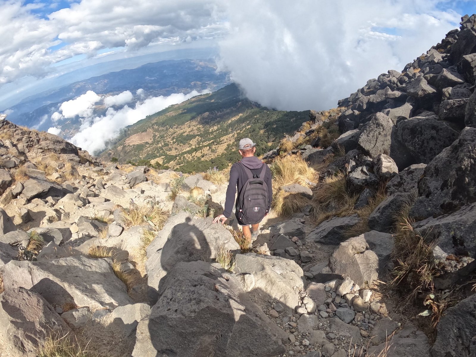
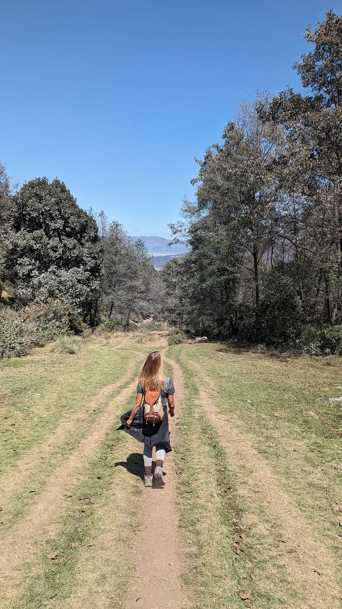
The ascent took us 3.5 hours (including photos and videos), we spent 3 hours at the summit, and the descent took 2 hours. The whole route is 11 km long with about 1300 m of elevation gain. Technically it is not difficult: there is little loose sand to slip on, several paths often run side by side, and it is hard to get lost because it is practically a single route. The last, steep section is tiring but safe.
Santiaguito’s eruptions and a panorama of volcanoes
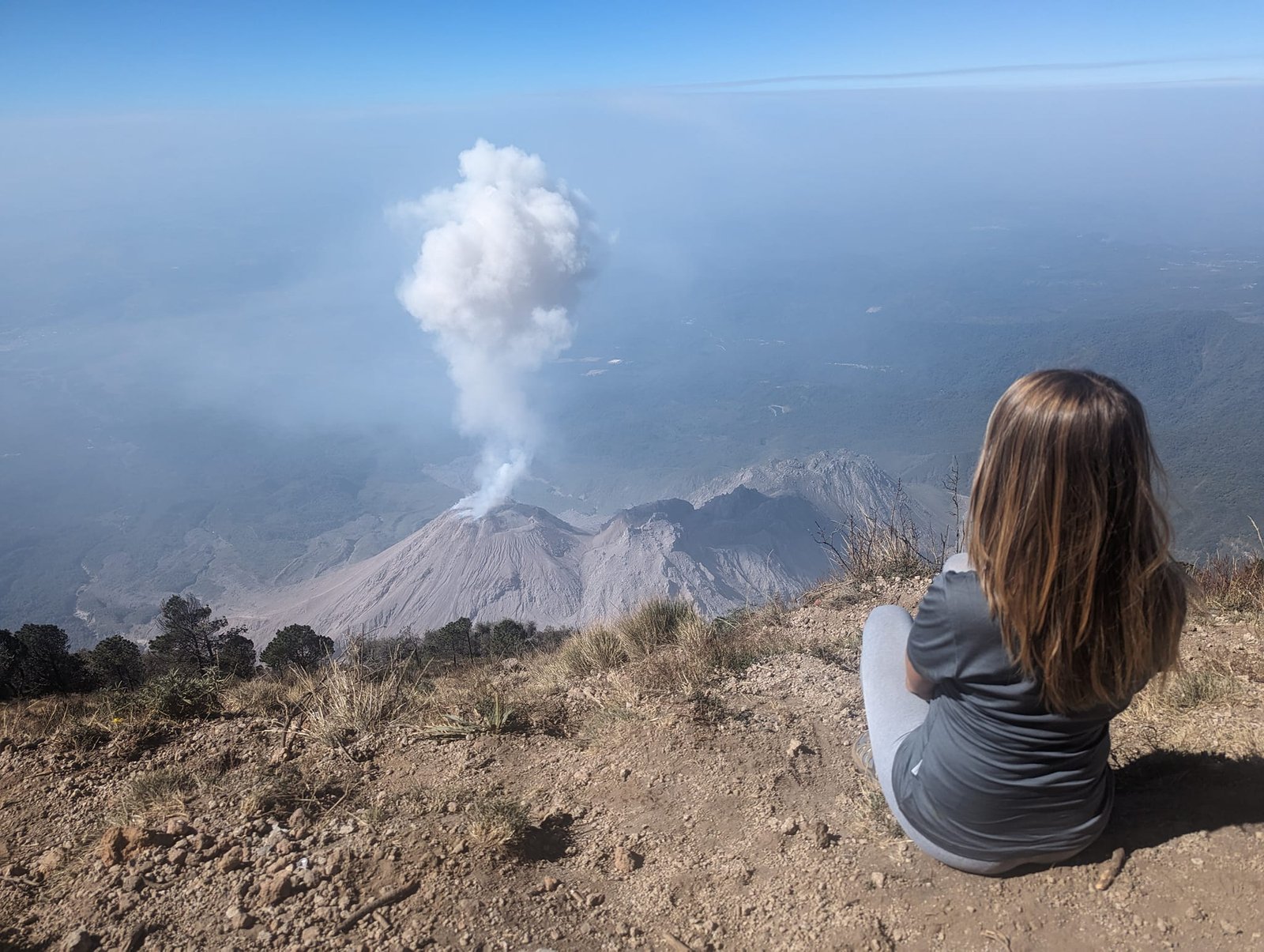
On one side of the summit you watch Santiaguito’s eruptions from above – from about 1200 m higher up. The volcano erupts on average every half hour, so during a few hours at the top we saw several eruptions.
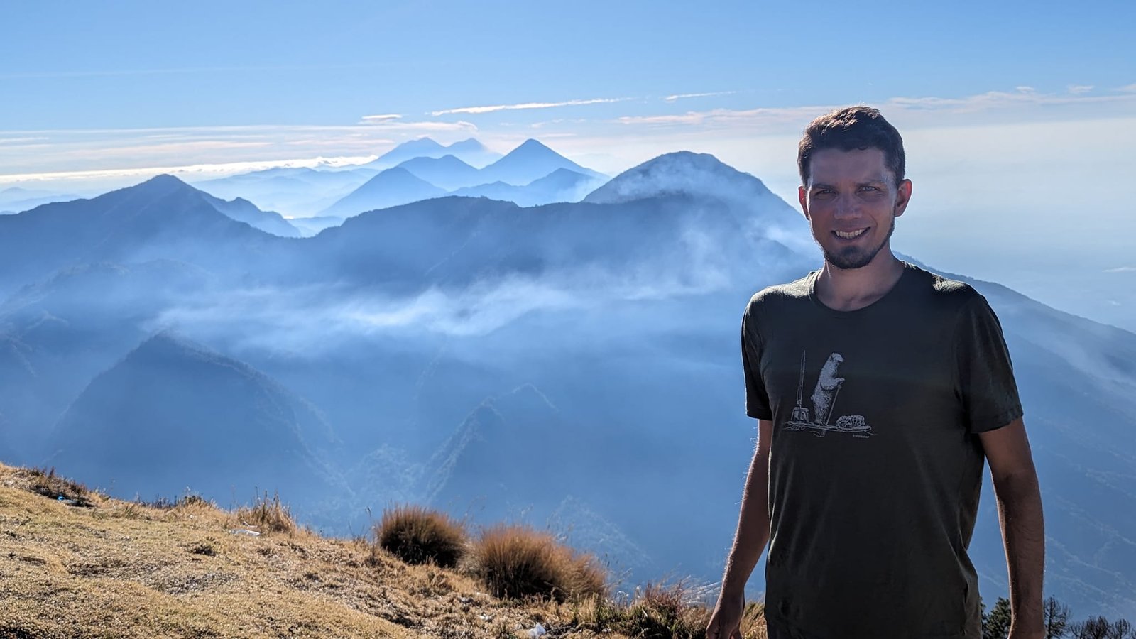
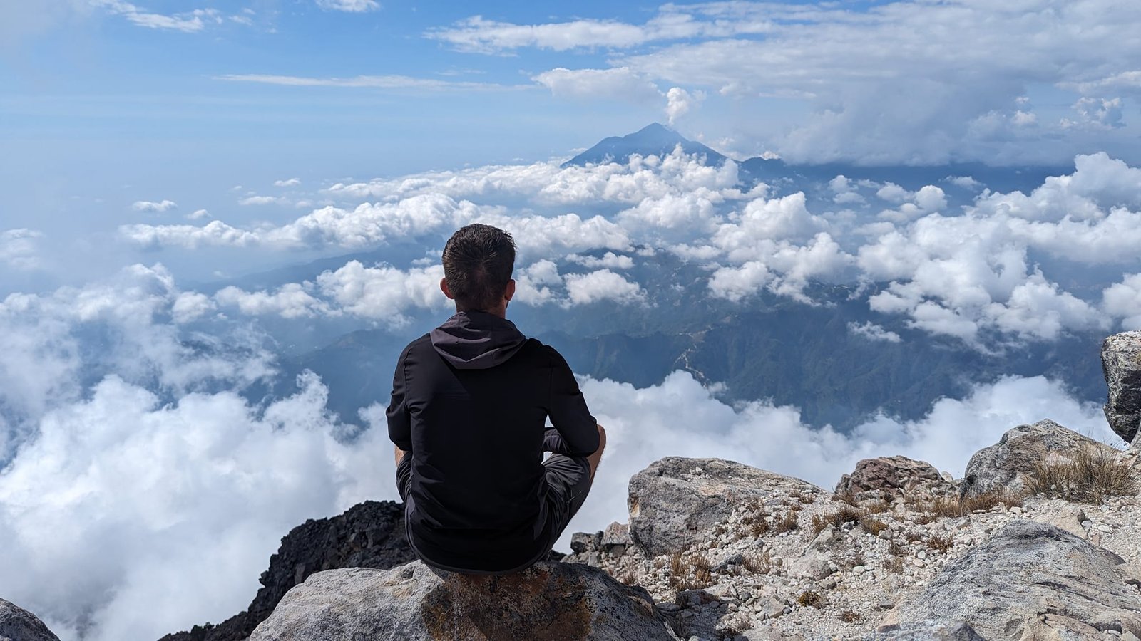
On the other side stretches the panorama that makes Santa María our favourite volcano. On a clear morning you can see all the country’s most important volcanoes from here: Acatenango (3976 m), Fuego (3763 m), Tolimán (3158 m), Atitlán (3537 m) and San Pedro (3020 m), and to the west the two highest peaks of Central America – Tajumulco (4220 m) and Tacaná (4060 m) on the border with Mexico.
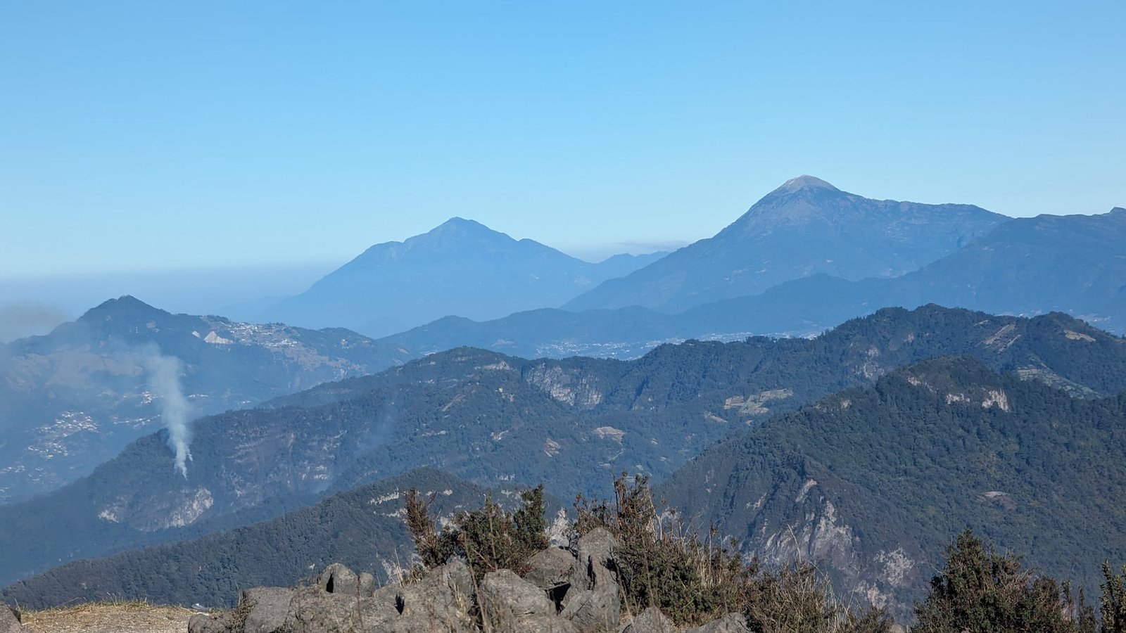
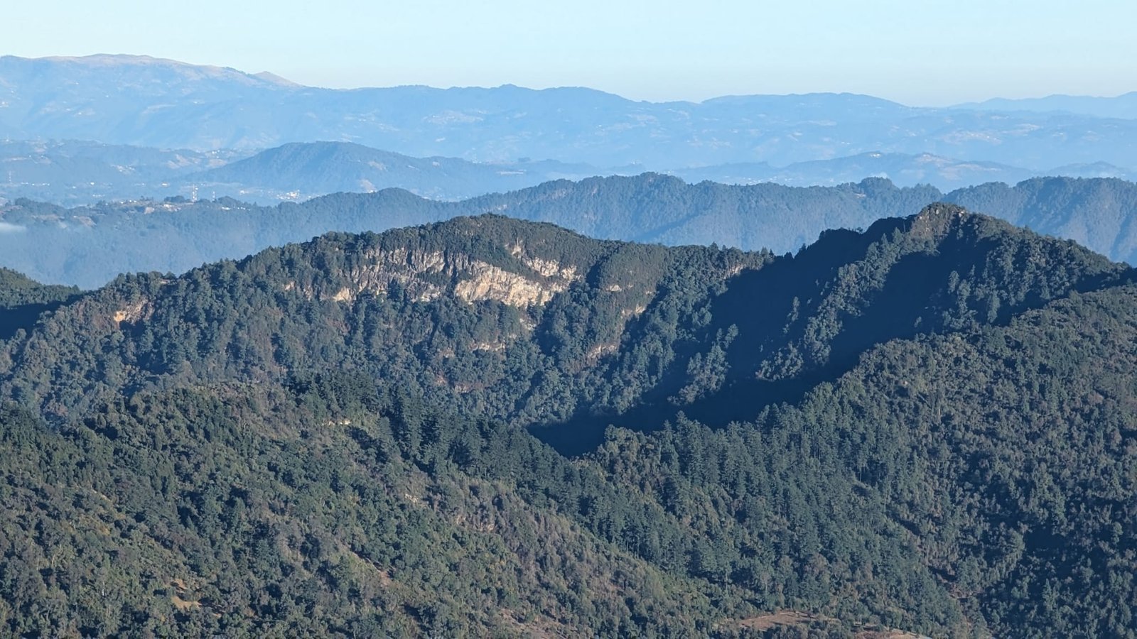
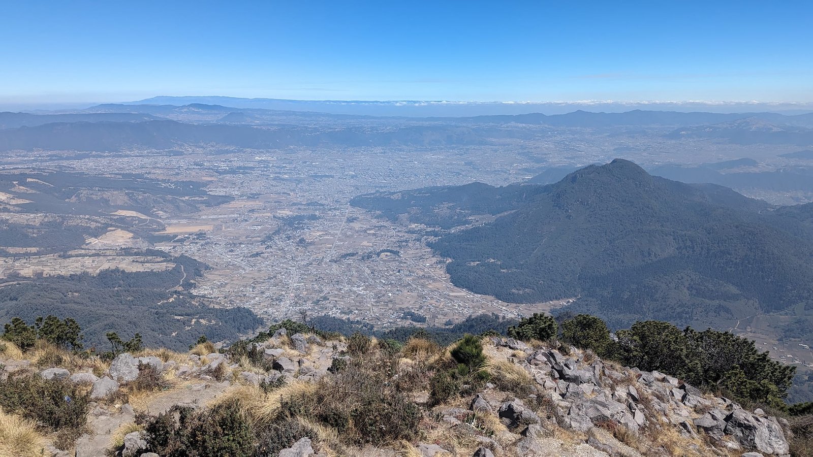
On the way you also get a good view of the Chicabal volcano (2900 m) with a lagoon in its crater, the Cerro Quemado hill and Quetzaltenango itself in the valley.
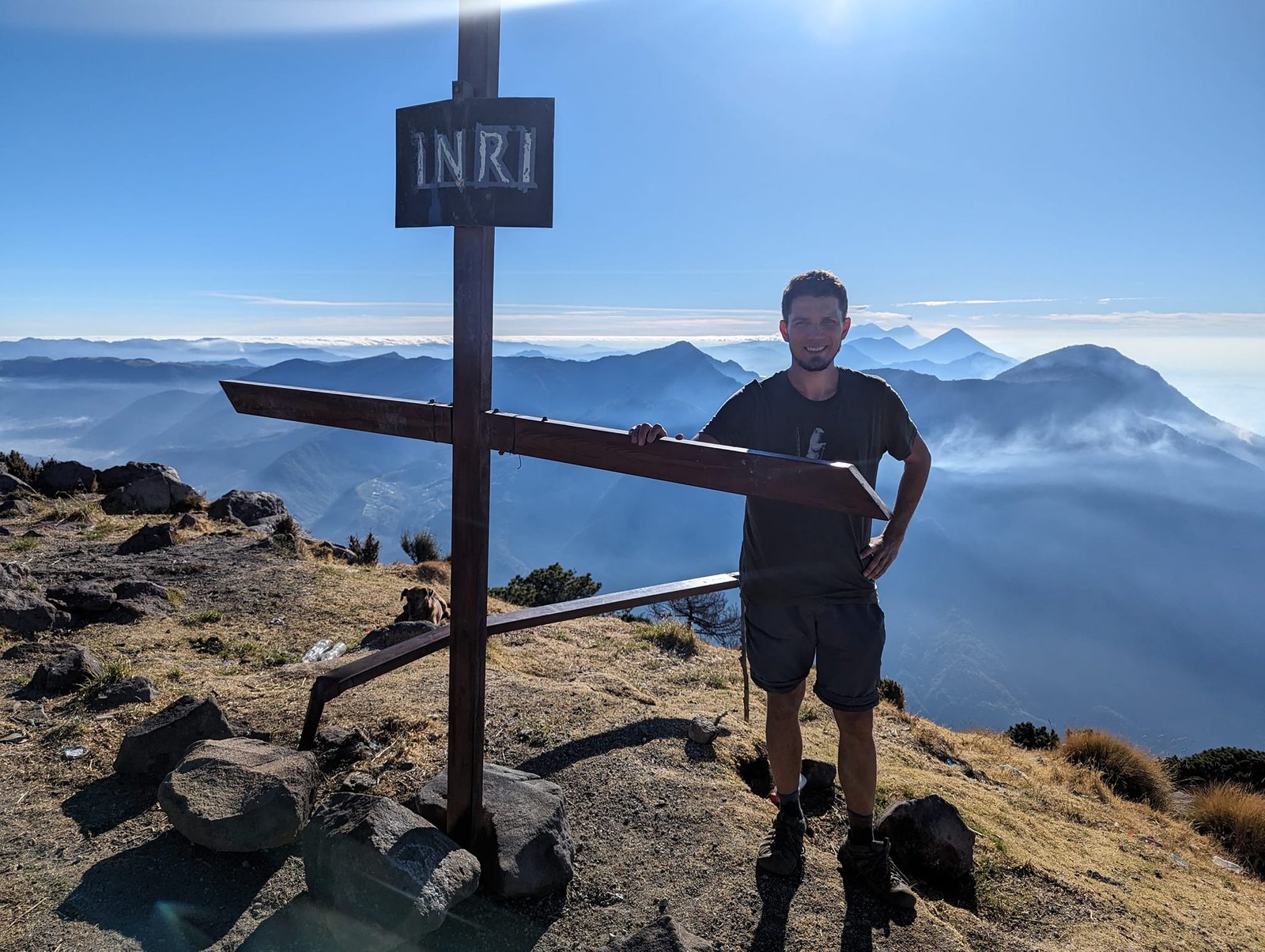
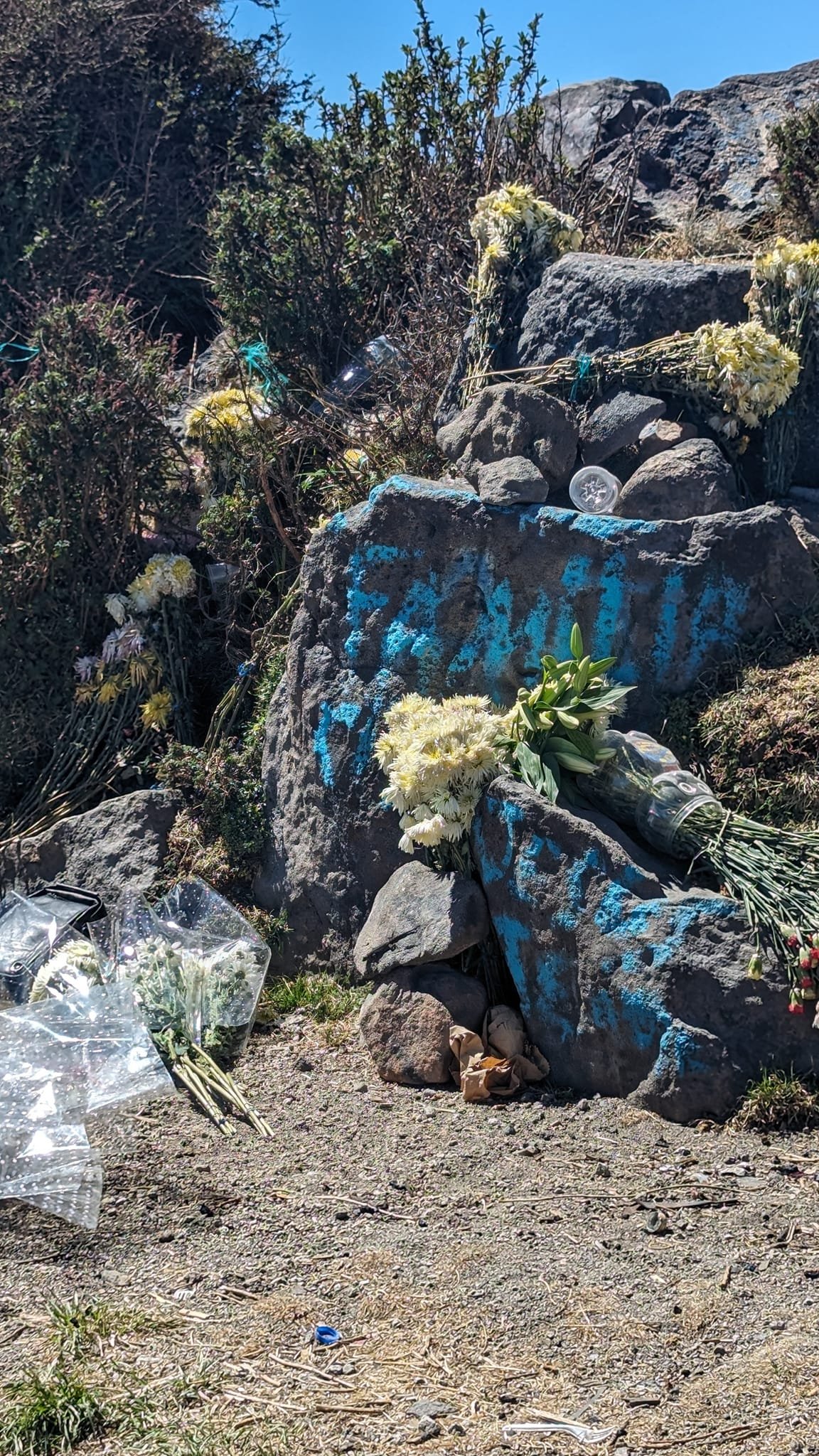
At the summit there is a cross with an INRI plaque, and next to it a stone altar where someone had left flowers.
Tajumulco – a day trip from Xela
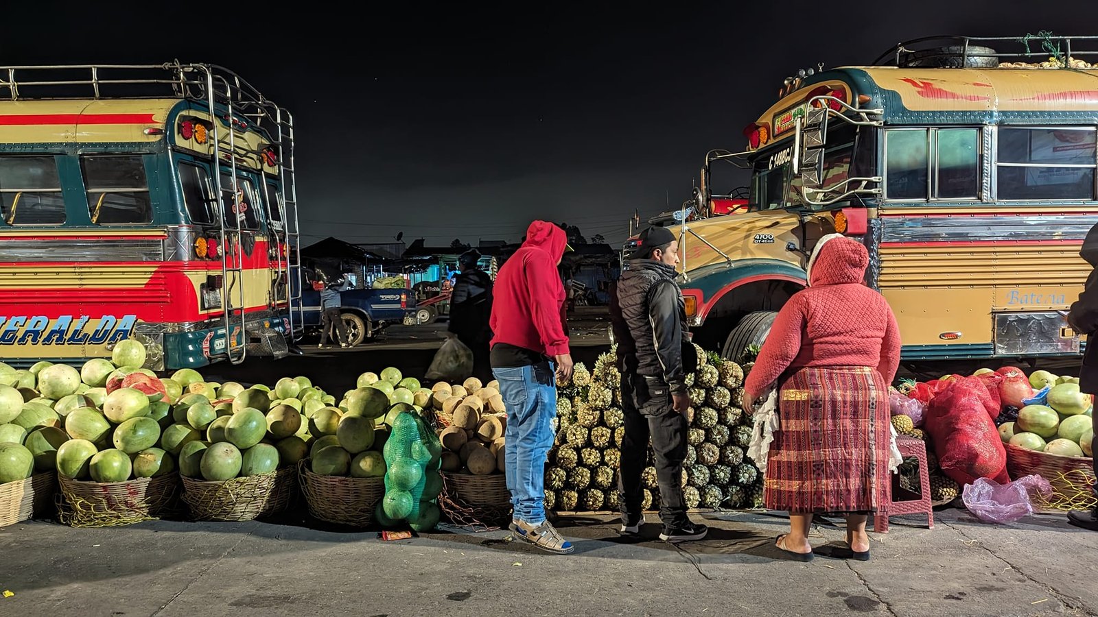
The best base for Tajumulco is the town of San Marcos, from where a minibus takes you to the trailhead in under an hour. We did not want to pay for accommodation twice or haul all our luggage there and back, though, so we did everything in one day from Quetzaltenango. It is the more tiring option – on the way back our heads were pounding.
The first bus to San Marcos leaves from the Minerva terminal in Xela at 5:00 (online we had read it was 4:00). In San Marcos you change and ride another 45 minutes – we started the trail at 8:30, an hour and a half later than planned. The ride cost 35 Q one way per person. On the way back we first took a city minibus from San Marcos to San Pedro Sacatepéquez (2 Q), and from there a direct bus to Xela (30 Q). Altogether, count on about 3 hours just to get there from Quetzaltenango.
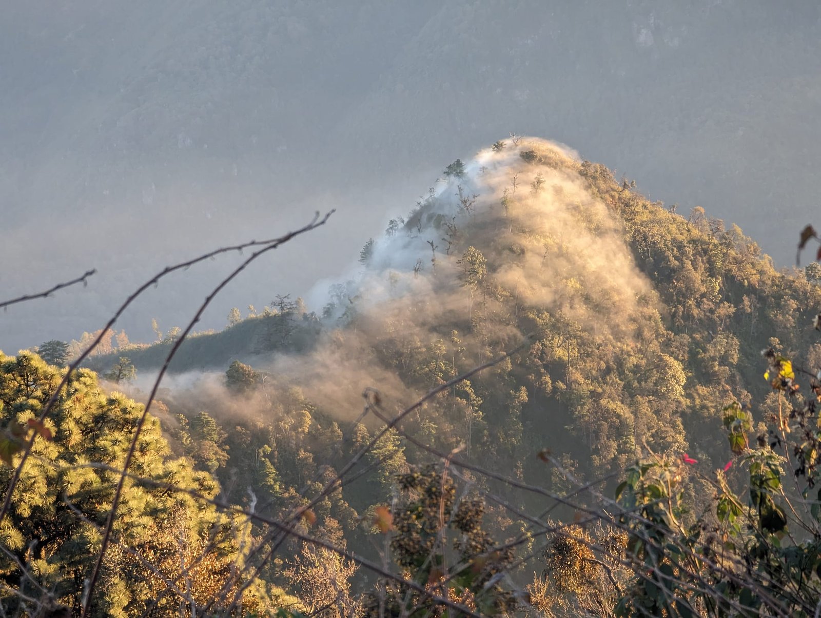
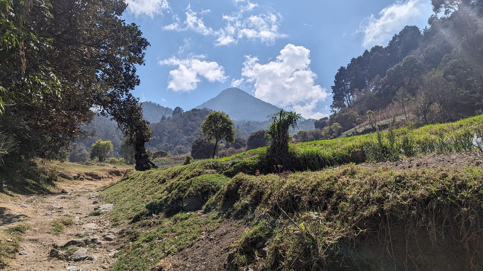
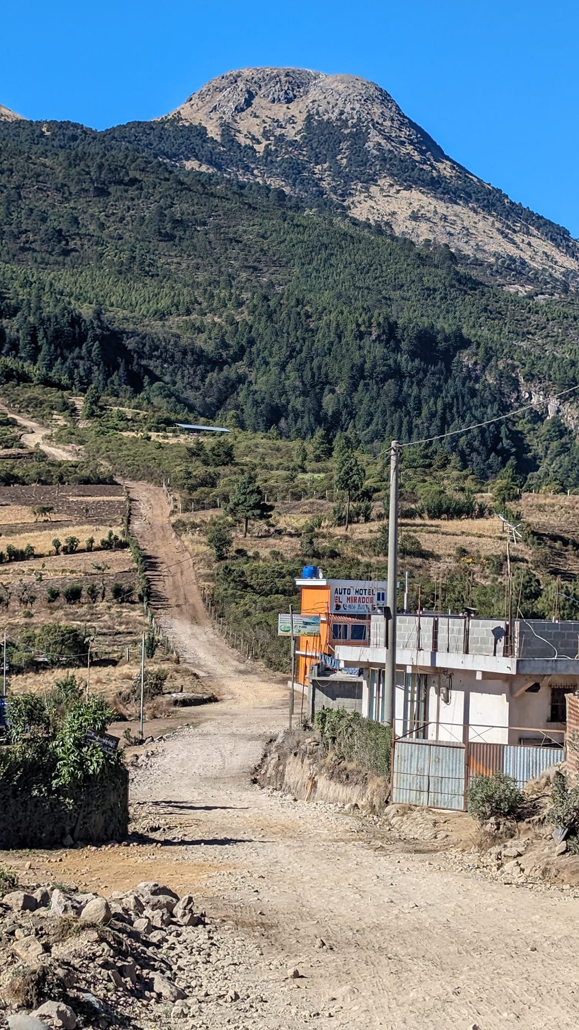
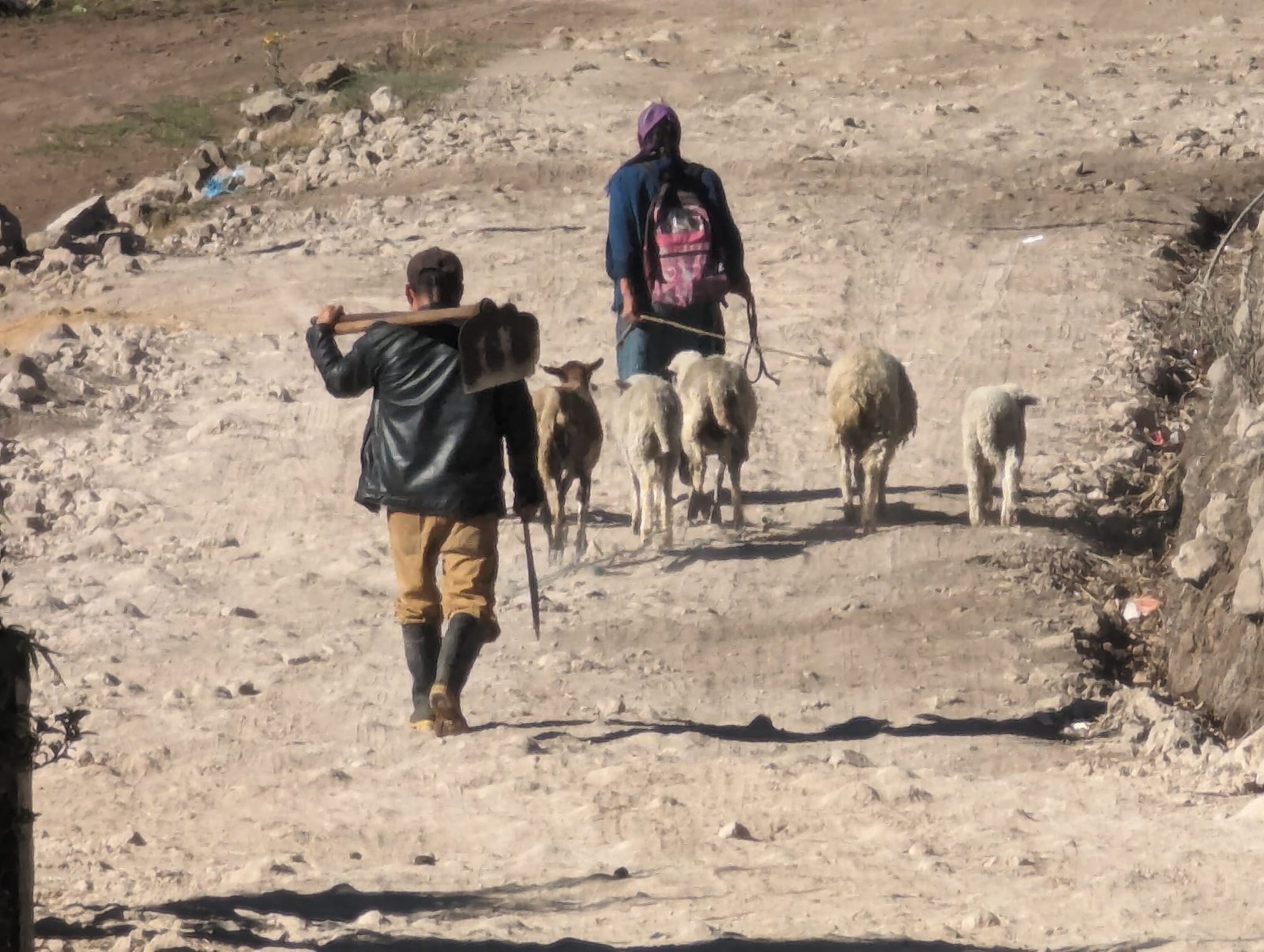
At the start of the trail we passed a few houses where time had stopped long ago, and a shepherd with his sheep.
On the roof of Central America
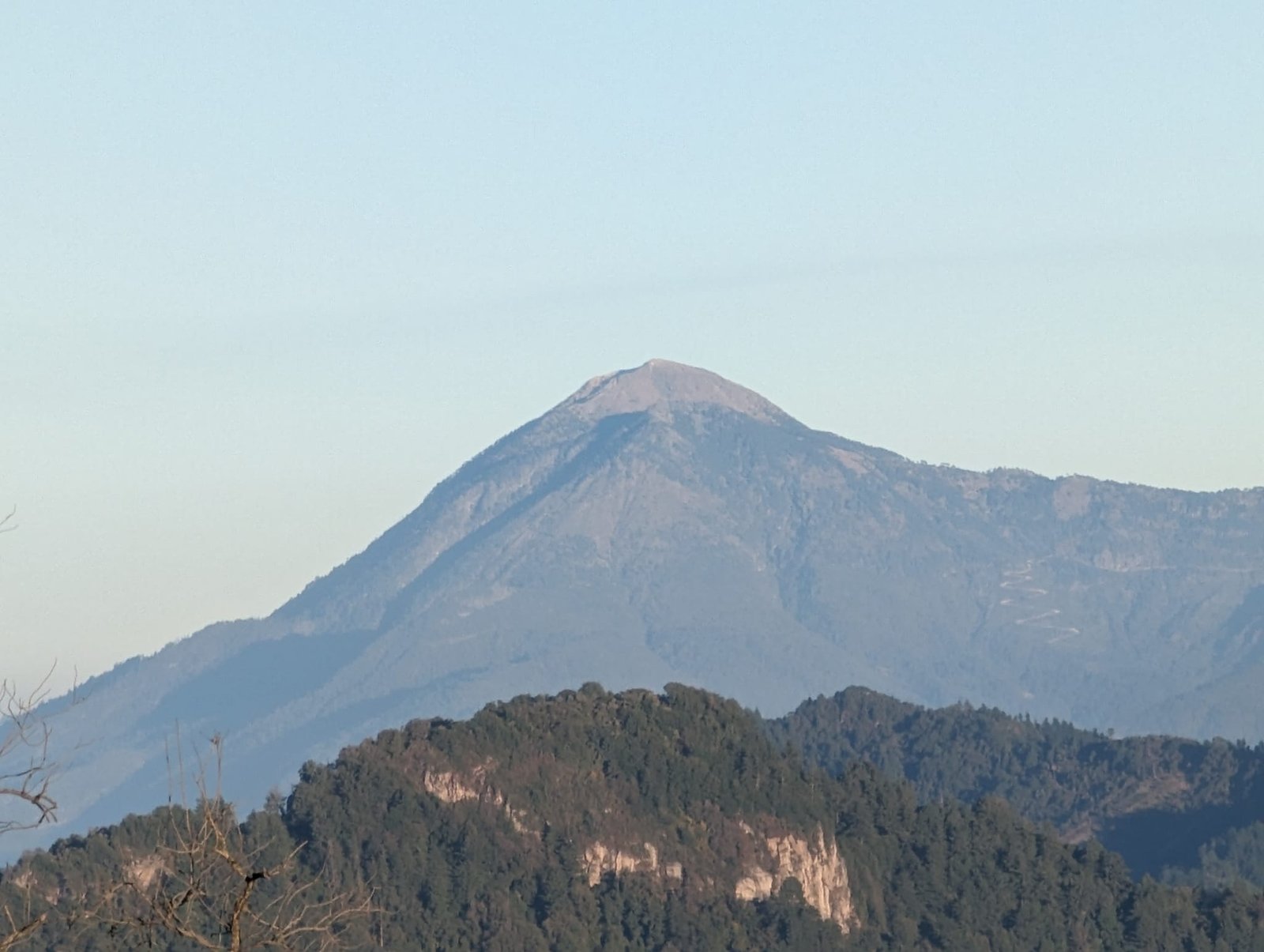
Tajumulco is the roof of Central America – you cannot climb any higher in this region. Unlike Santa María, it shows off its majesty right away – the summit, with its rather unusual shape, is visible for much of the way. The trees here are very sparse, so you walk most of the route in full sun. With a car (ideally a 4×4) you can cut quite a bit of the walking.
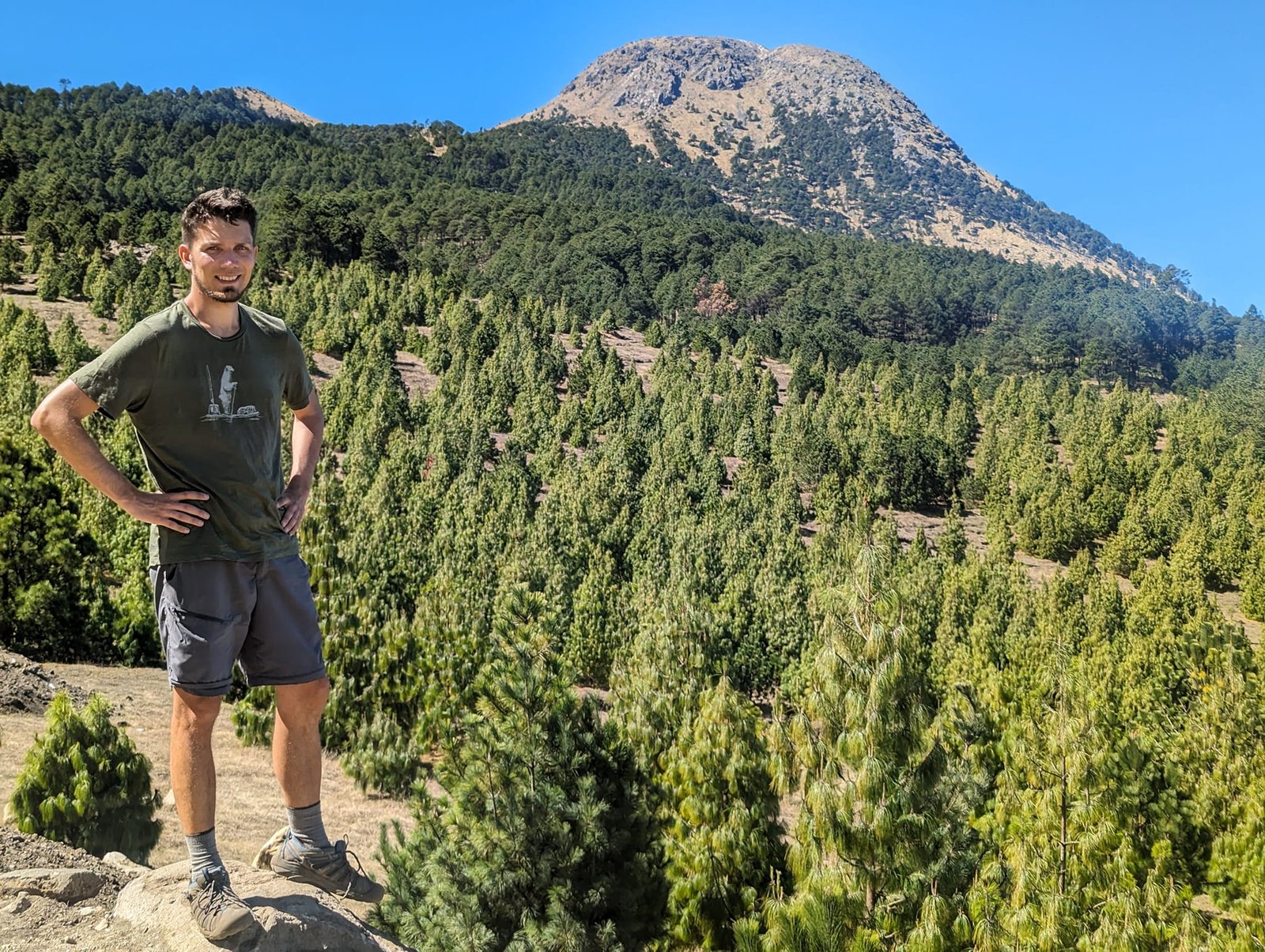
In total we covered about 15 km and about 1300 m of ascent in 7.5 hours: 4.5 hours up, 2 hours down, plus a loop around the crater. Unlike on the other volcanoes, here you can take a wrong turn, so if you go on your own it is worth having an app with the route (we use AllTrails). The steepest climb – at the end, as usual – leads past the shrines of the Stations of the Cross (some are empty or damaged), and there is a cross at the summit.
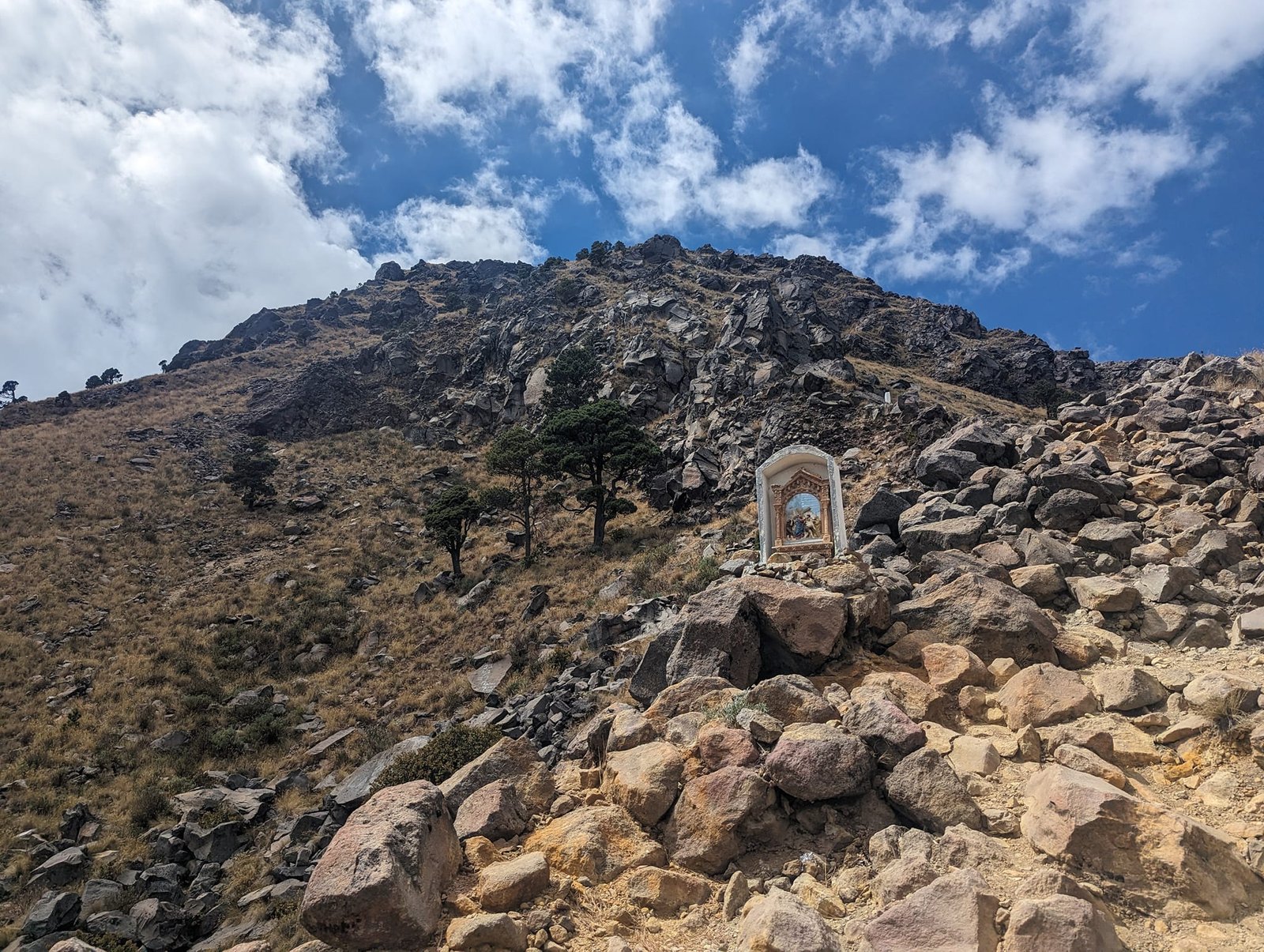
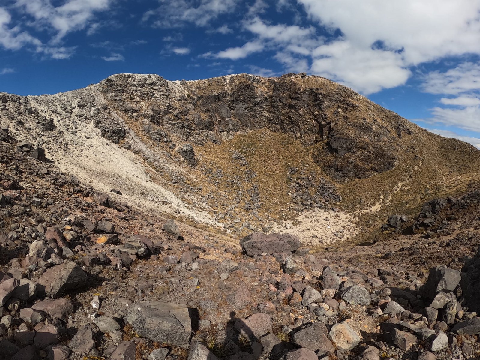
The only other people climbing Tajumulco that day were five police officers – we met them at the summit. Just a few years earlier, climbing here, let alone without a guide, would have been unthinkable: drug cartels operated in the area and the police were fighting them. Today it is relatively safe, but the area is still closely watched – after the descent we passed soldiers, both Guatemalan and Mexican.
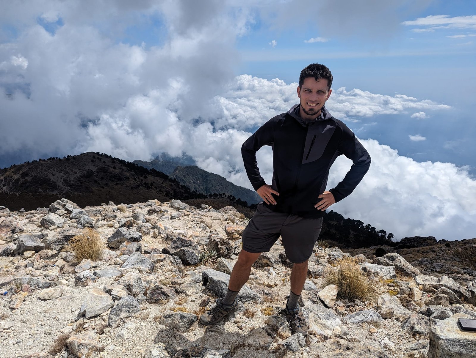
Starting so late, we did not expect great views, but for most of the time visibility was really good – we could even see Fuego. In good weather the summit gives you the volcanoes near Antigua, above Lake Atitlán and near Xela, as well as Mexico. Around 13:00 clouds covered most of them, but we were left with a nice view of Tacaná (4060 m) on the Mexican border – the second highest volcano in Central America – and of the surrounding hills and villages.
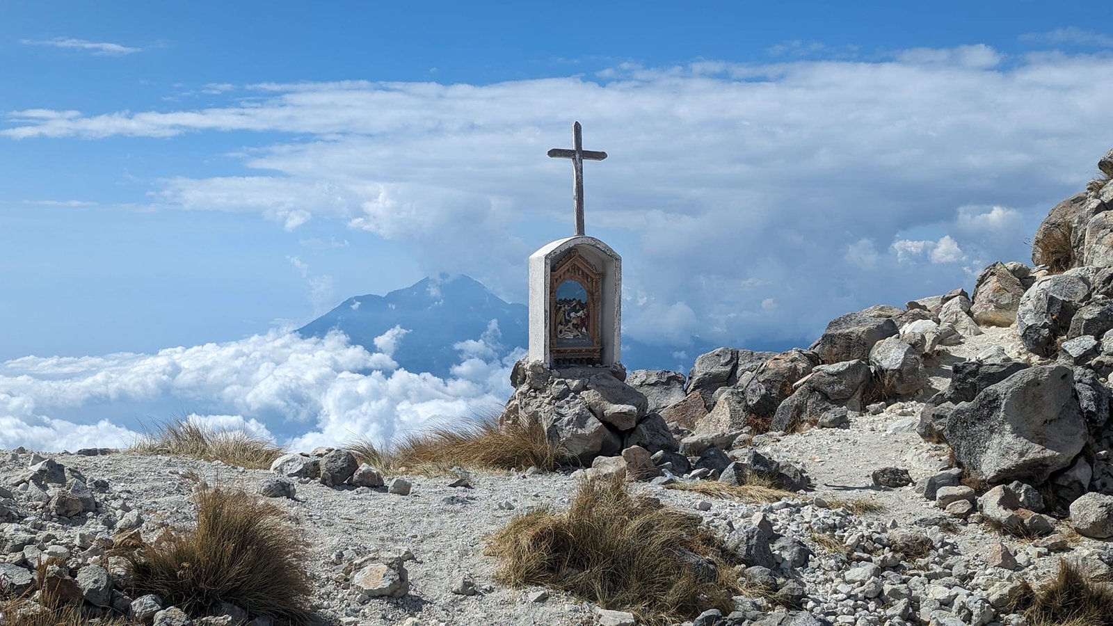
Tajumulco is our lifetime achievement: the first four-thousander we climbed, dethroning South Teton (3814 m) from 2018. It is probably one of the easier four-thousanders, but at the summit I felt double joy – another limit had been crossed.
Practical information
- Base – Quetzaltenango (Xela). The cheapest double room cost us under 50 Q a night (February 2024) – accommodation here was the cheapest in all of Guatemala.
- Santa María – getting there – best by Uber from the centre of Xela to the village of Llano del Pinal (about 8 km, 35–40 Q one way). Chicken buses only start running there at 6:00, which is a bit too late. For the return, order an Uber about 20 minutes before you reach the bottom – there are few drivers there, they take a long time to arrive, and not everyone wants to drive out from the centre.
- Santa María – the route – 11 km and about 1300 m of elevation gain; the ascent took us 3.5 hours and the descent 2 hours. Start by 6:00 at the latest.
- Tajumulco – getting there – bus from the Minerva terminal to San Marcos (first one at 5:00), change and another 45 minutes; 35 Q one way. Return: San Marcos – San Pedro Sacatepéquez 2 Q, then a bus to Xela 30 Q (February 2024).
- Tajumulco – the route – about 15 km and about 1300 m of elevation gain, 7.5 hours including the loop around the crater. Most of the way is in the sun; you can get lost, so an app with the route comes in handy.
- Guide – we climbed both volcanoes on our own.
- Temperature – during the day it was up to 23°C in Xela, but nights in the mountains are cold (from a few to about fifteen degrees), and it is even colder at the summits – for a pre-dawn start you need to dress warmly.
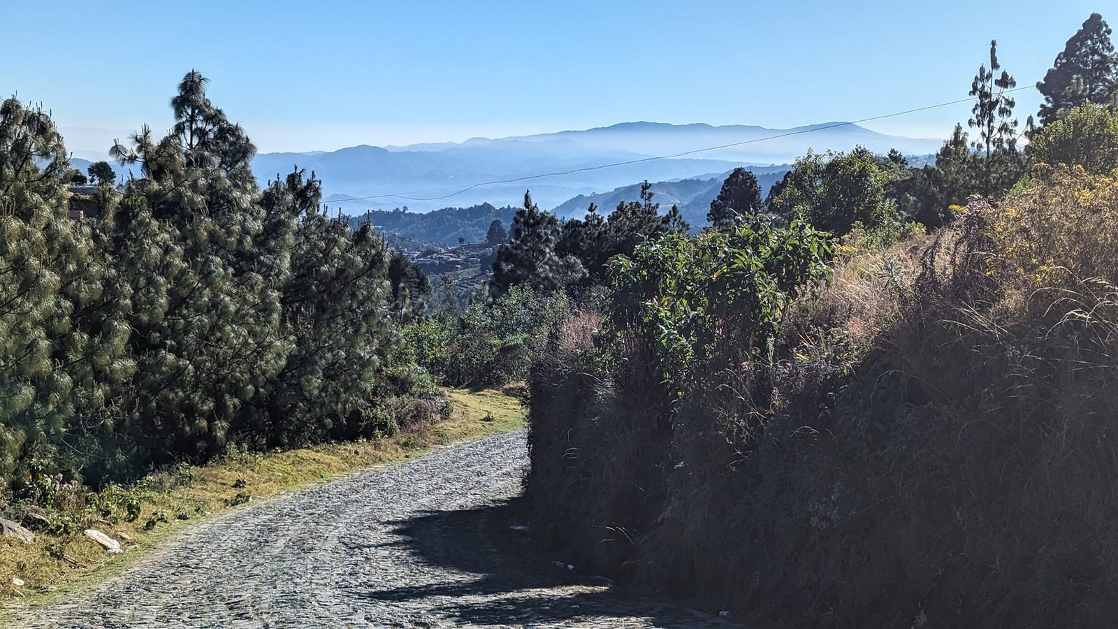
Photo gallery