We flew to Iceland on 23 June 2022 – five of us: Patrycja, Michał (Misza), the other Patrycja, Wiktor and me – for 16 full days (plus one evening and one morning). The idea came up the previous autumn, when we found good flight prices. In a rented 4×4 we drove all the way around the island – 3187 km in total – starting in Reykjavík and heading north-west first: to the Snæfellsnes peninsula and the Westfjords. We kept the towns short, because we decided to focus on nature: waterfalls, canyons, black beaches, craters, glaciers and hot springs.
Below is our route, region by region. I write about the car, campsites, costs, food, weather and free hot springs separately in the post Iceland – practical information.
Table of contents
- Reykjavík and our first hike up Esja
- Glymur waterfall
- The Snæfellsnes peninsula – Eldborg crater, Kirkjufell and black beaches
- The Westfjords – puffins, the Garðar wreck and Dynjandi
- The north – Hverir and Dettifoss
- The east – Stuðlagil canyon and Fardagafoss
- The south – Jökulsárlón, Svartifoss and black beaches
- Heimaey island
- The Golden Circle – Þingvellir, Geysir and Gullfoss
- The Reykjanes peninsula – a bridge between continents
- What we didn’t see – Landmannalaugar
Reykjavík and our first hike up Esja
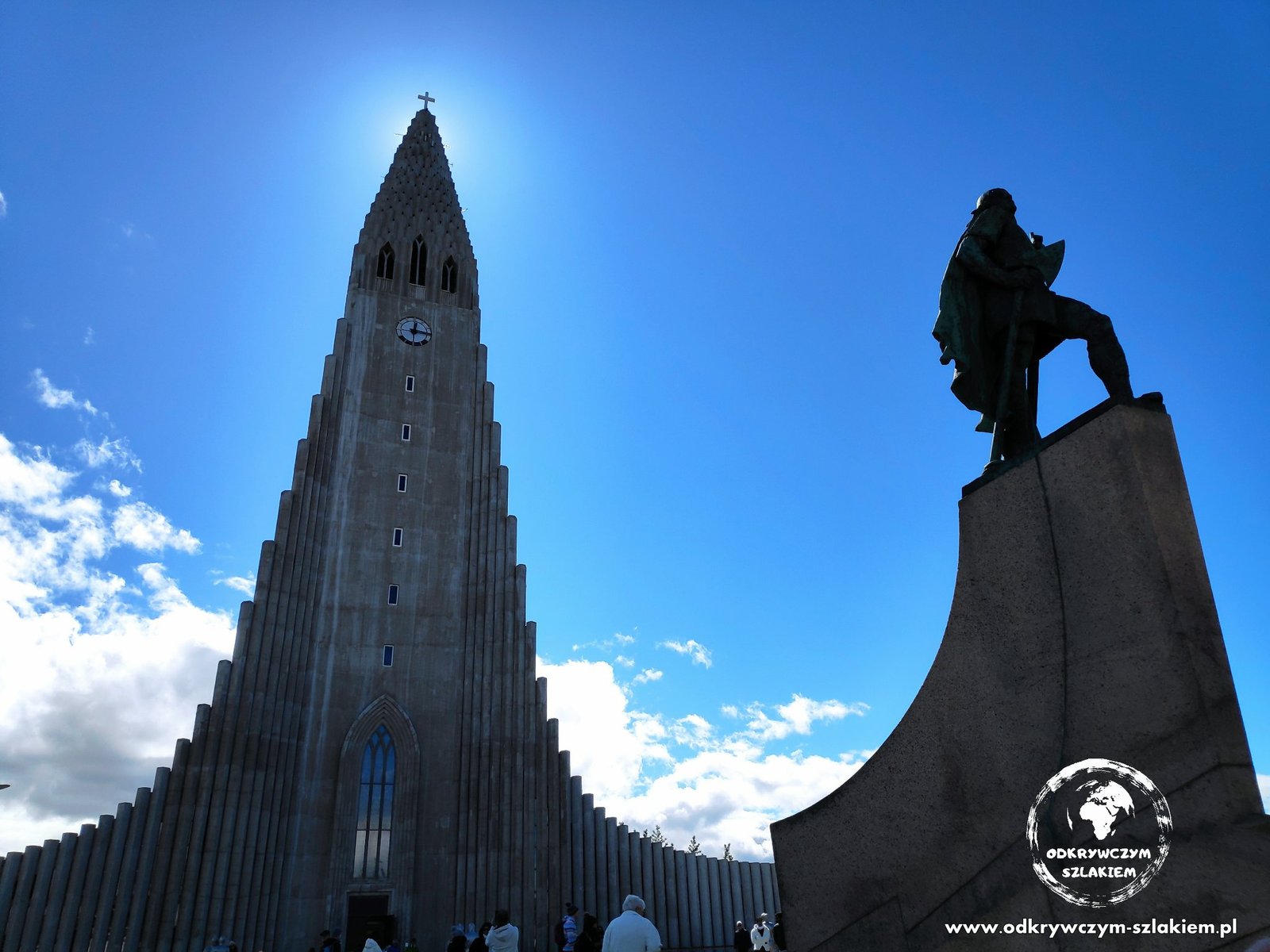
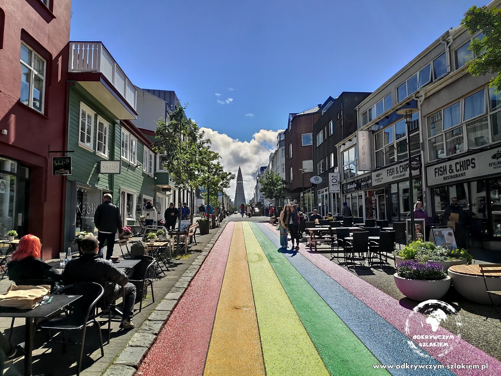
We gave the capital a few hours – and that was quite enough. Reykjavík’s most distinctive building is the Hallgrímskirkja church, whose shape echoes basalt columns – the same ones we later saw in canyons and on beaches. A colourful “rainbow” street, Skólavörðustígur, leads up to it.
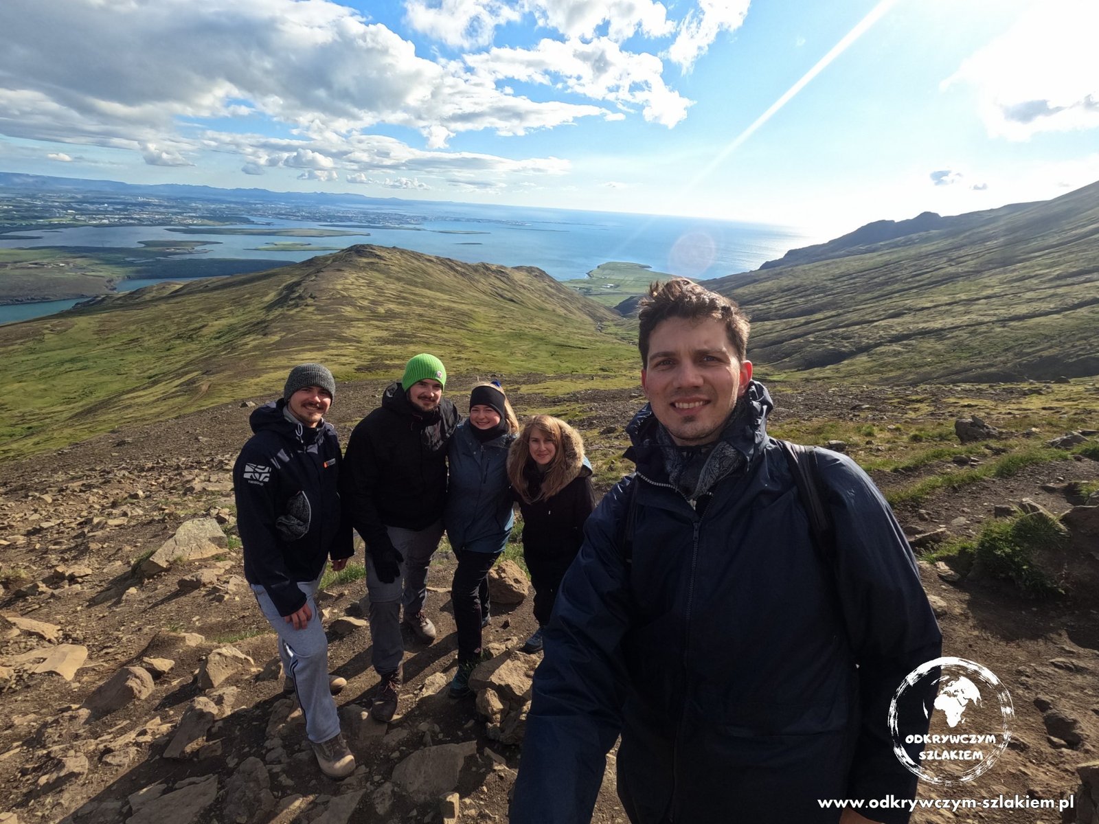
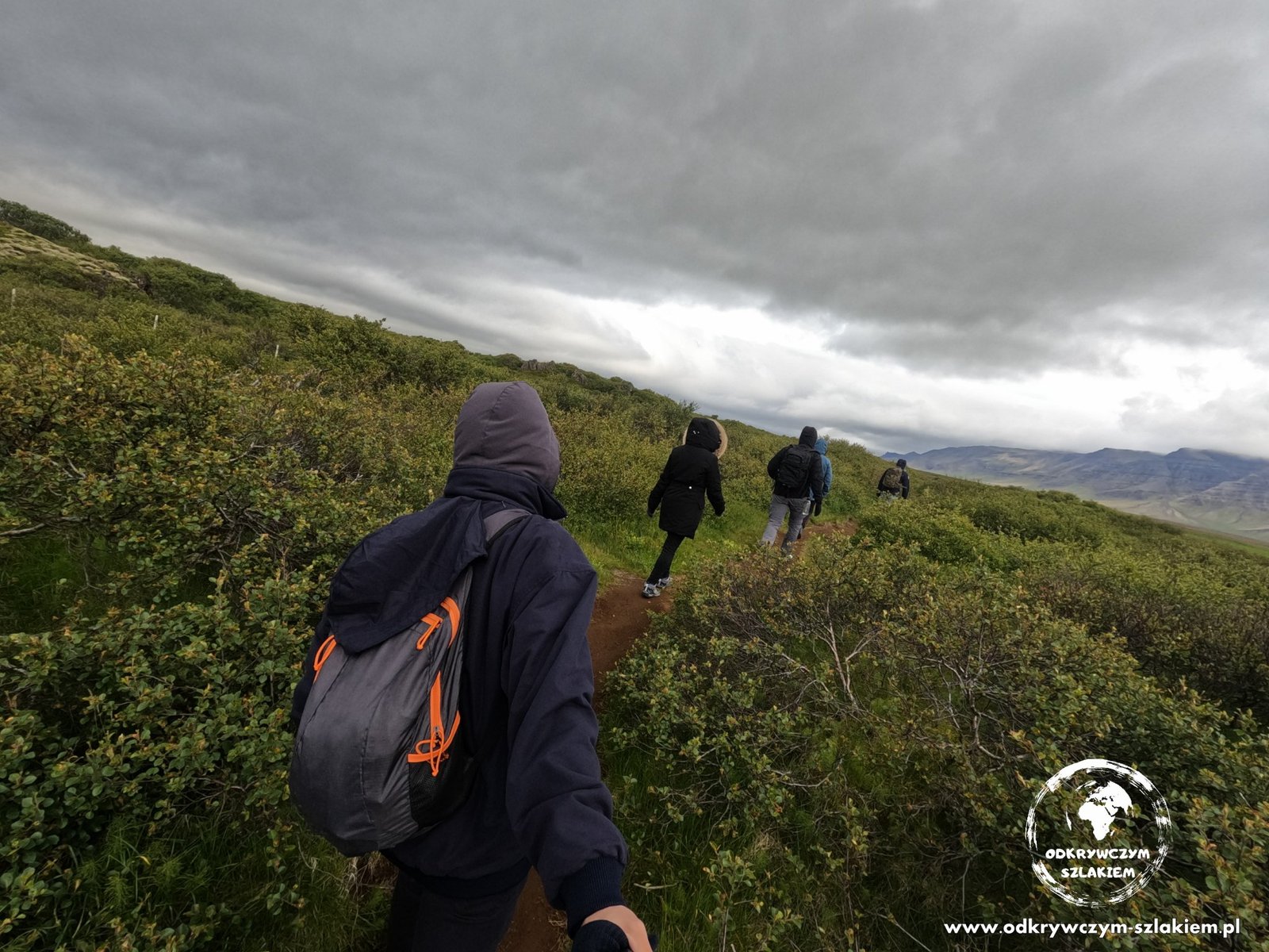
We did our first hike near the capital – towards Mount Esja, which offers a view of the fjord and Reykjavík. A good warm-up for the days to come.
Glymur waterfall
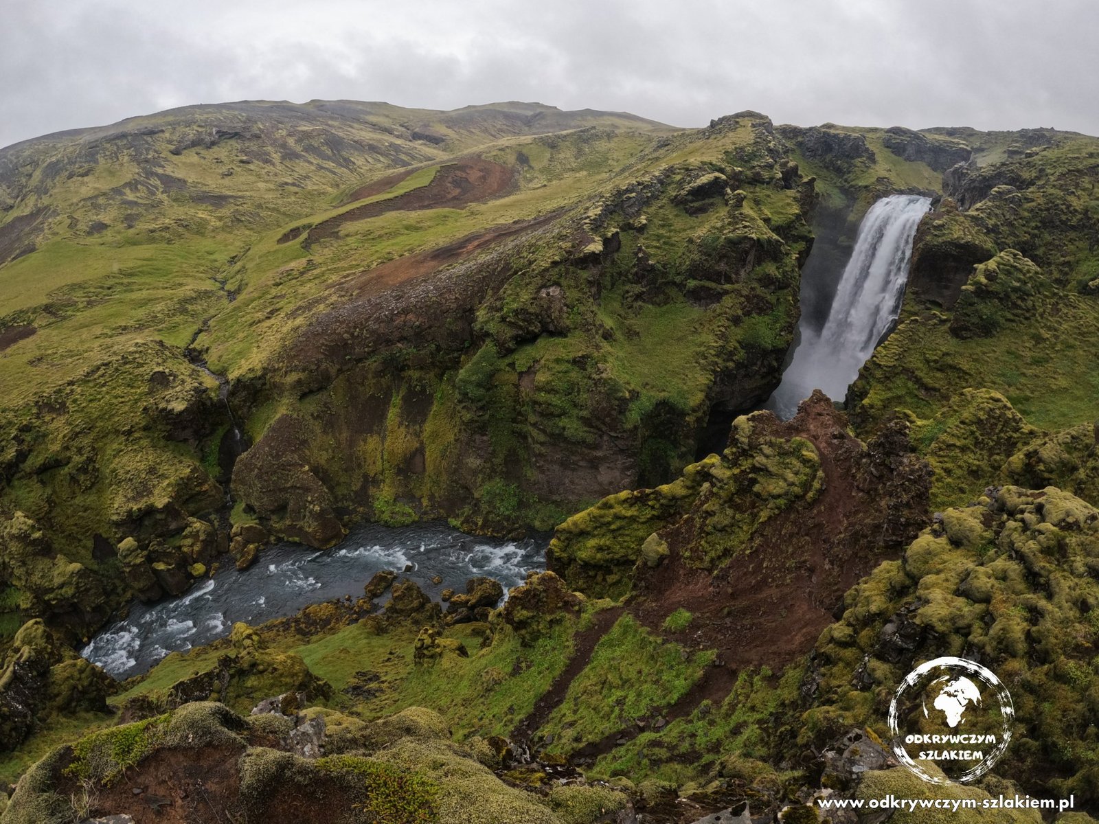
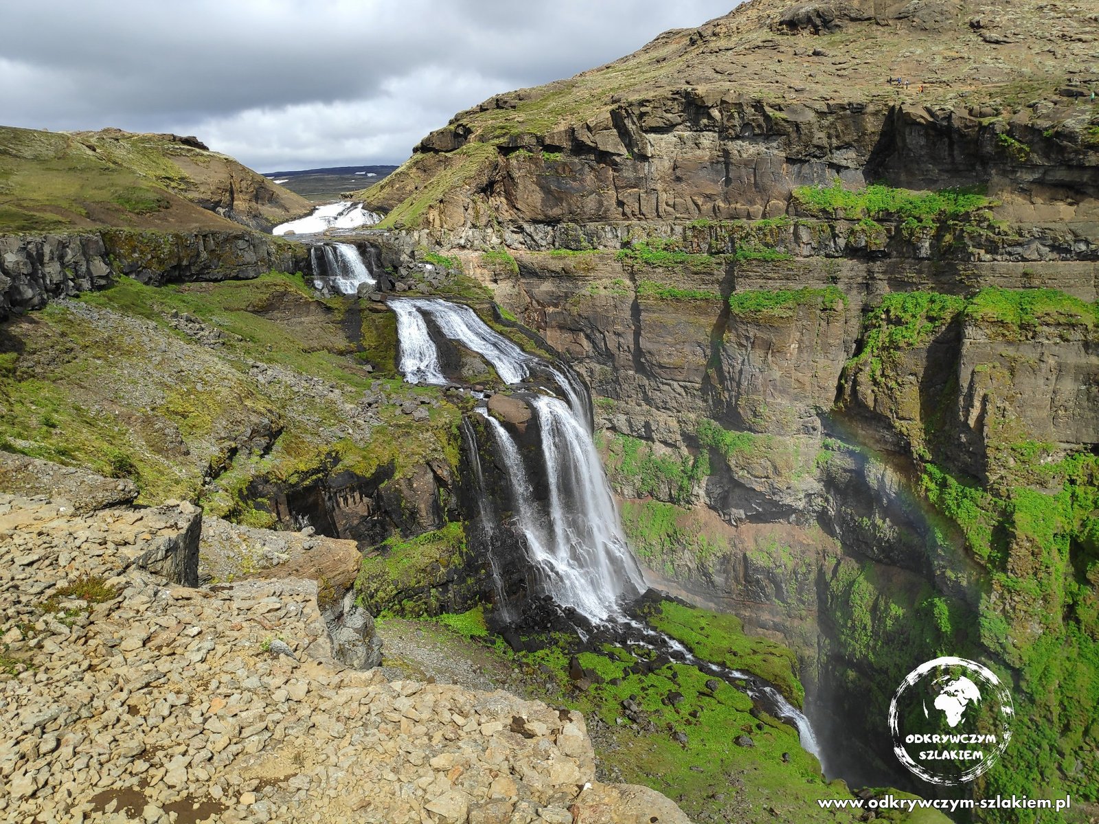
The trail to Glymur waterfall starts among purple lupins – flowers that accompanied us all over the country. Glymur is 198 m high and is the highest waterfall in Iceland that you can reach on a trail. We walked up to its upper part, where the water plunges into a green gorge.

The Snæfellsnes peninsula – Eldborg crater, Kirkjufell and black beaches
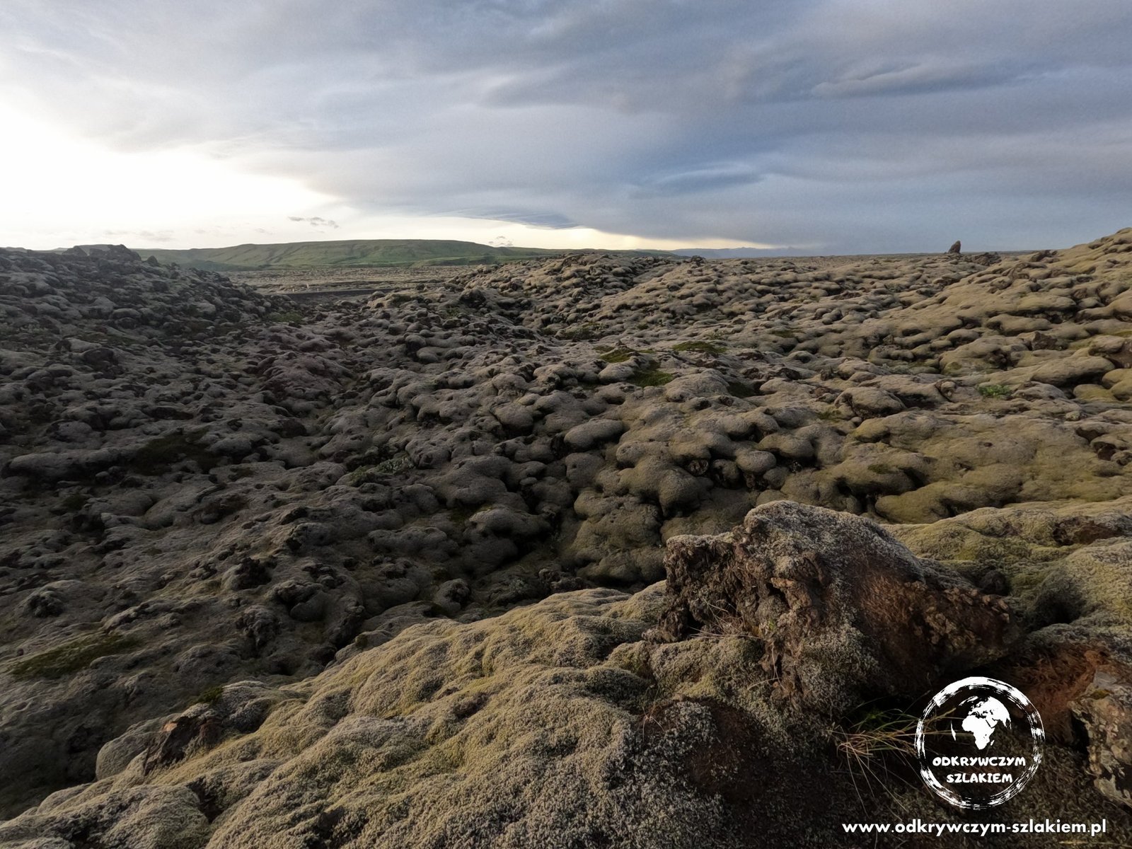
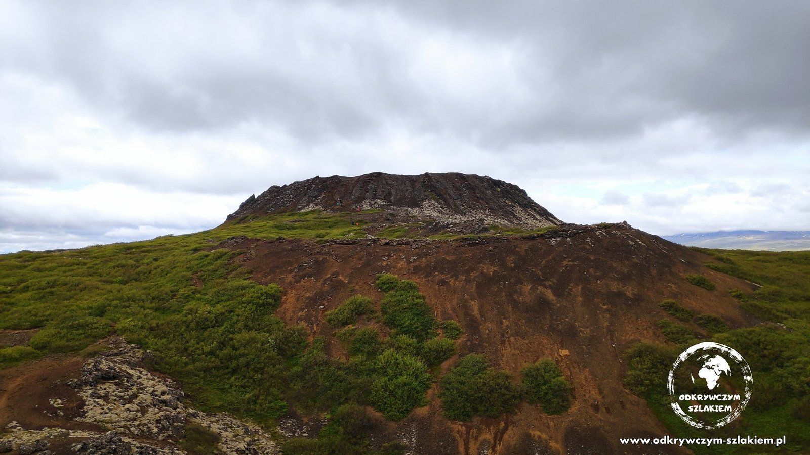
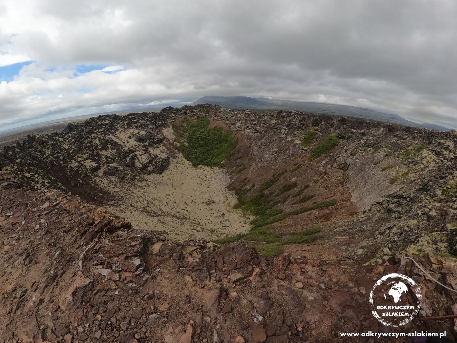
On the Snæfellsnes peninsula we stayed in a rented cottage on the Snorrastaðir farm, from where we set off to Eldborg crater. From a distance it looks like a perfect ring rising out of a lava field, and after a short walk you can peer inside it.
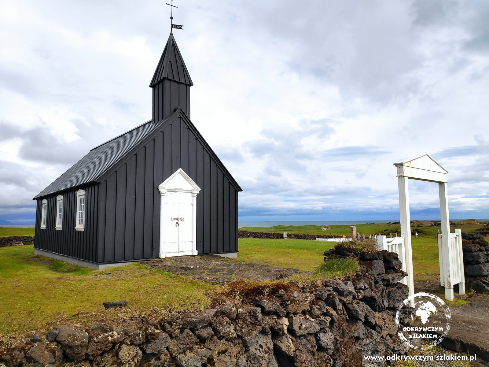
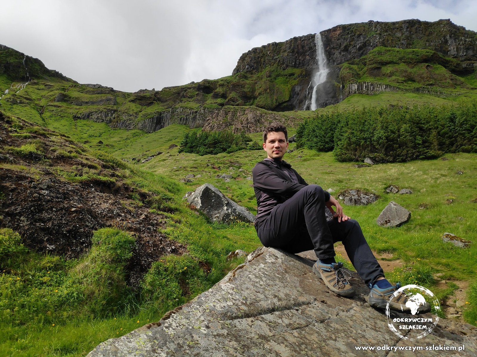
The southern coast of the peninsula has a new sight every few kilometres. The little black church of Búðakirkja stands alone in a lava field and is one of the most photographed places on Snæfellsnes. Nearby is the Bjarnarfoss waterfall.
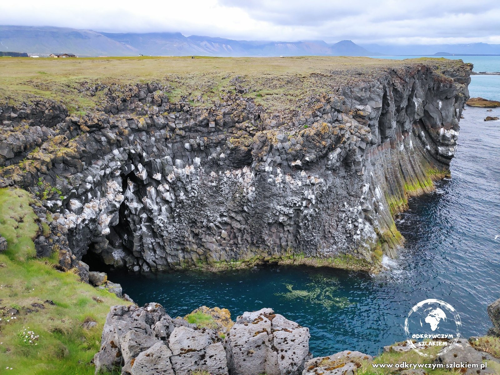
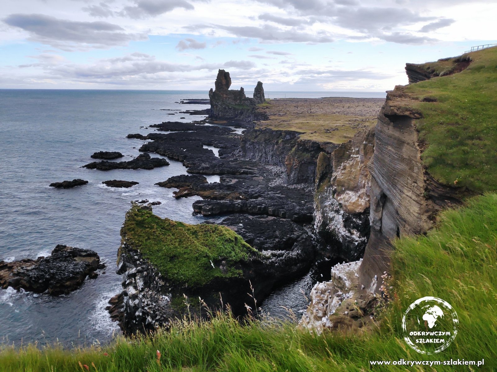
At Arnarstapi the coast is made of basalt cliffs with arches and caves, and further west the Lóndrangar rock pillars rise out of the sea.
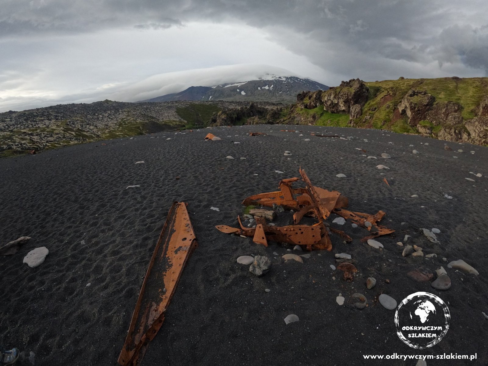
On the black beach of Djúpalónssandur, the rusty remains of the British trawler Epine, which was wrecked here in 1948, still lie on the sand. The Snæfellsjökull glacier can be seen in the background.
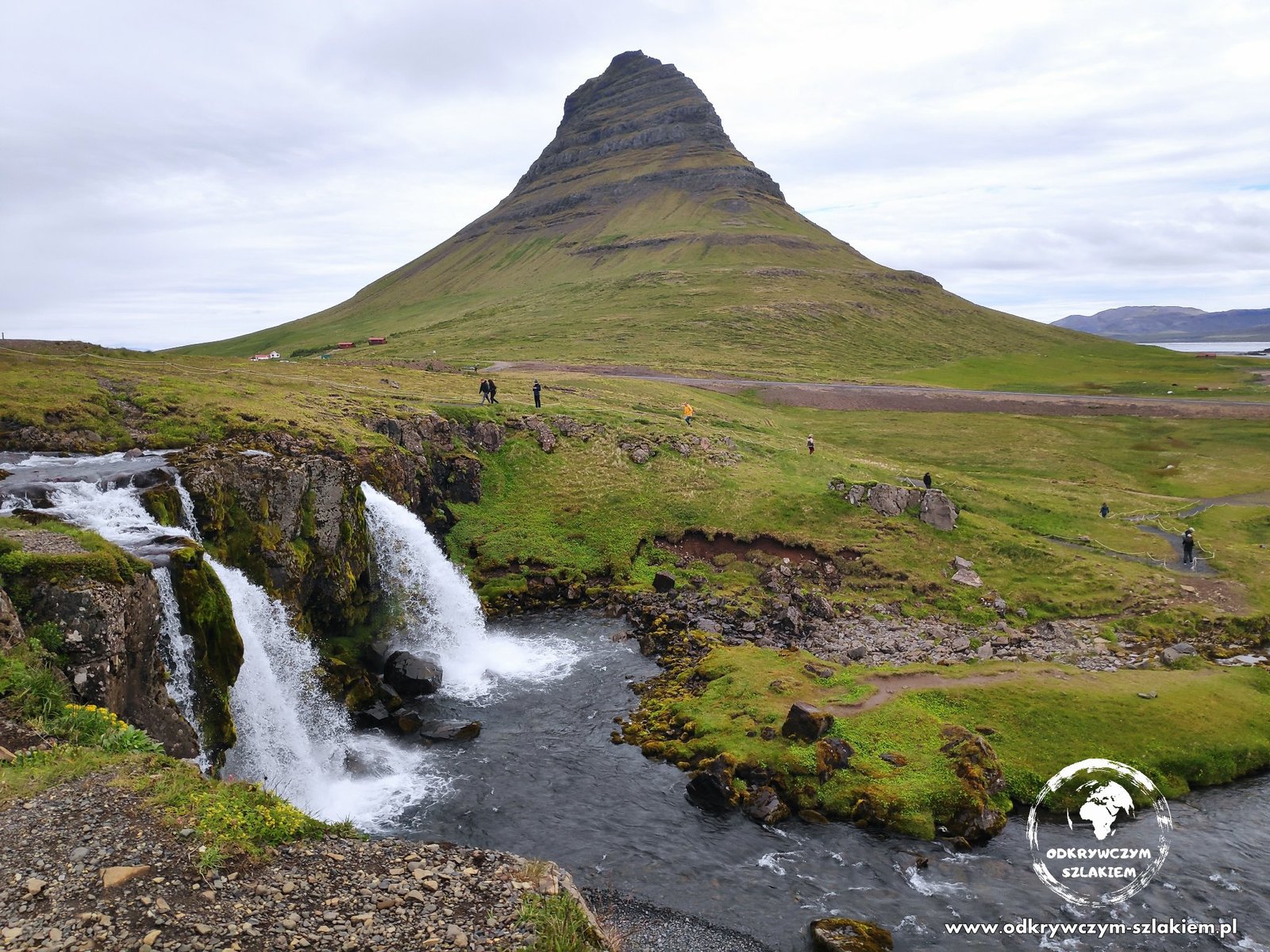
On the northern shore of the peninsula is one of Iceland’s best-known views – Kirkjufellsfoss waterfall with the distinctive Kirkjufell mountain behind it. The spot appears in a lot of the country’s promotional material, and scenes for “Game of Thrones” were filmed here too.
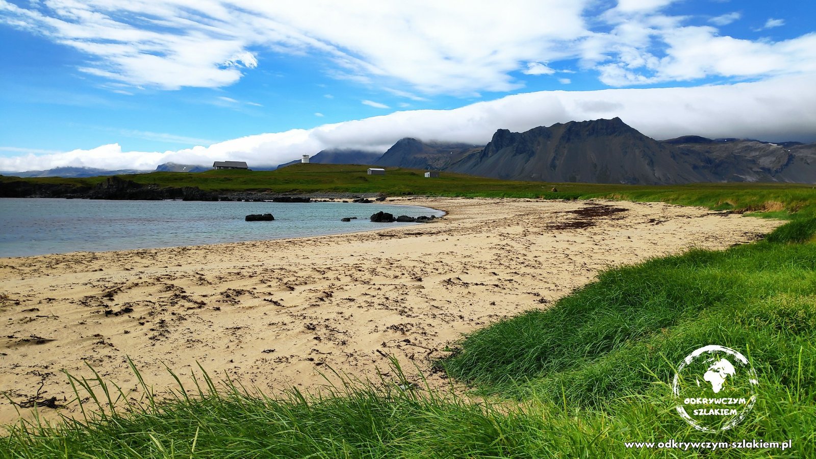
At Ytri Tunga beach – unusually light-coloured for Iceland – we watched seals lounging on the rocks by the shore.
The Westfjords – puffins, the Garðar wreck and Dynjandi
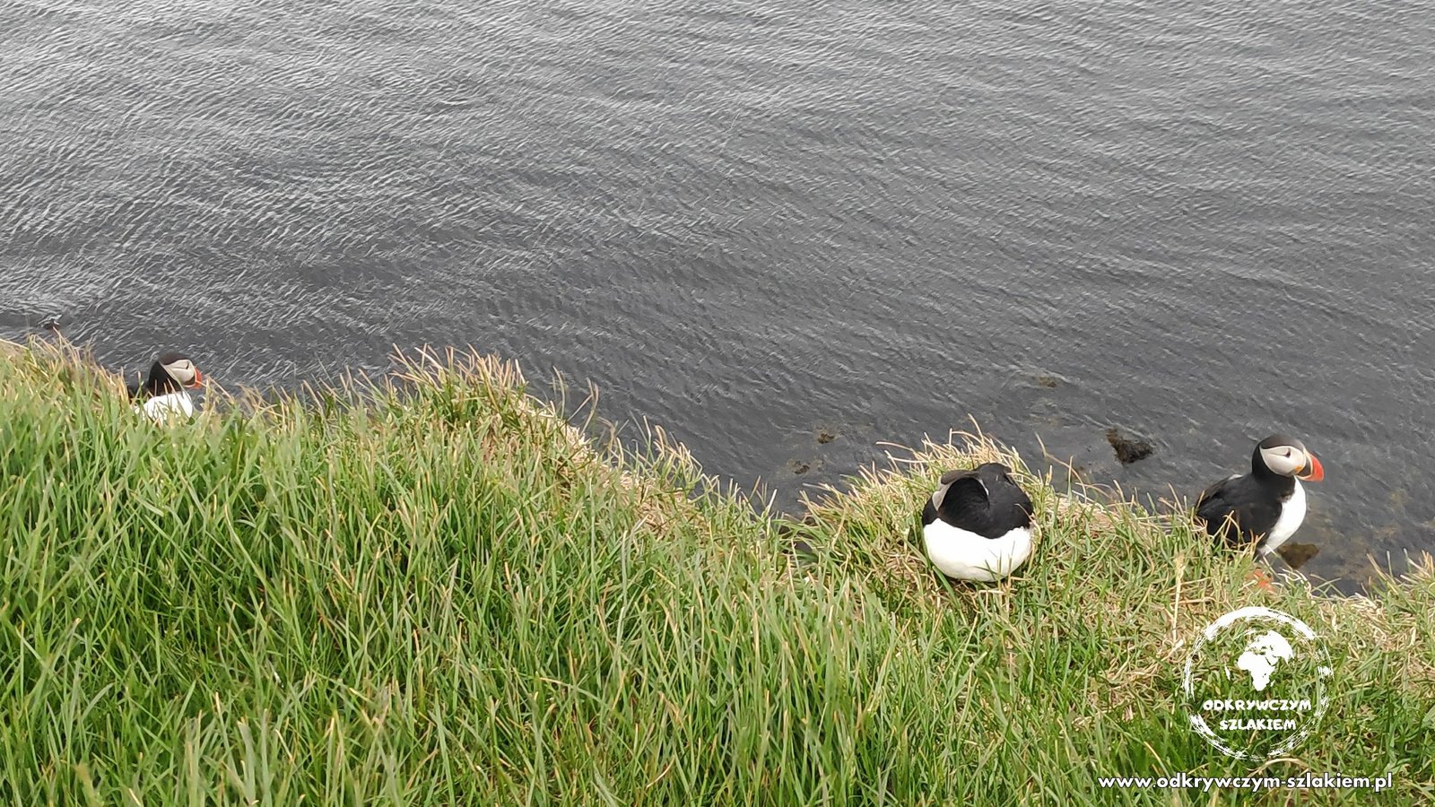
The Westfjords are the most remote part of our route – long drives along the fjords, often on gravel roads. On the Látrabjarg cliffs we saw puffins up close – Iceland’s most iconic birds. They sit right on the edge of the cliff and don’t care about people at all.
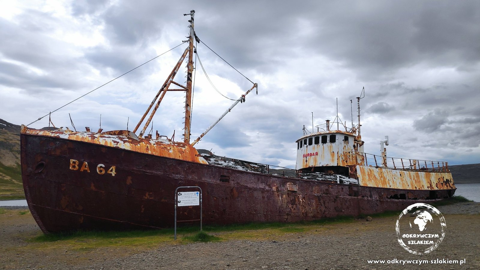
On the way we stopped at the wreck of the ship Garðar BA 64 – it was built in Norway in 1912 and has been lying abandoned on the shore of a fjord since 1981.
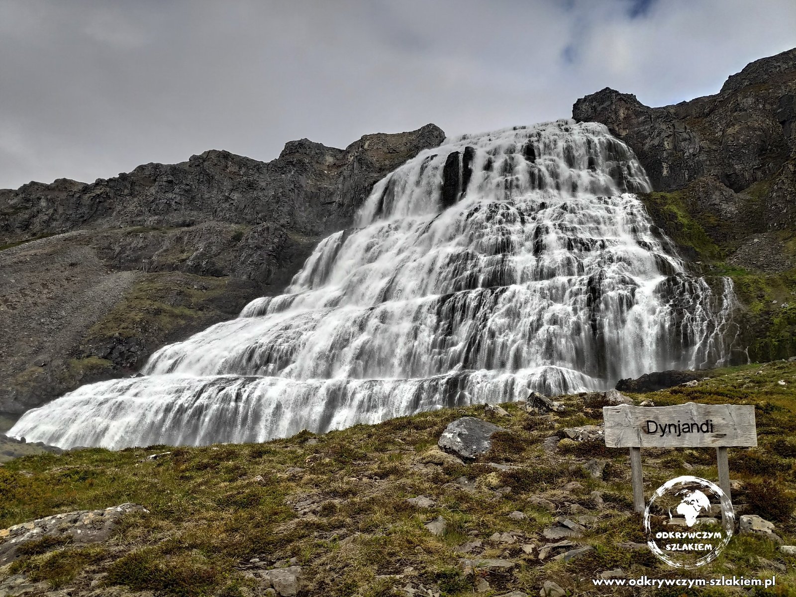
Getting to Dynjandi waterfall meant a bit of a detour, but it was worth it – the wide, cascading wall of water looks truly majestic. In the Westfjords we also bathed in our first free hot springs – more about them in the post with practical information.
The north – Hverir and Dettifoss
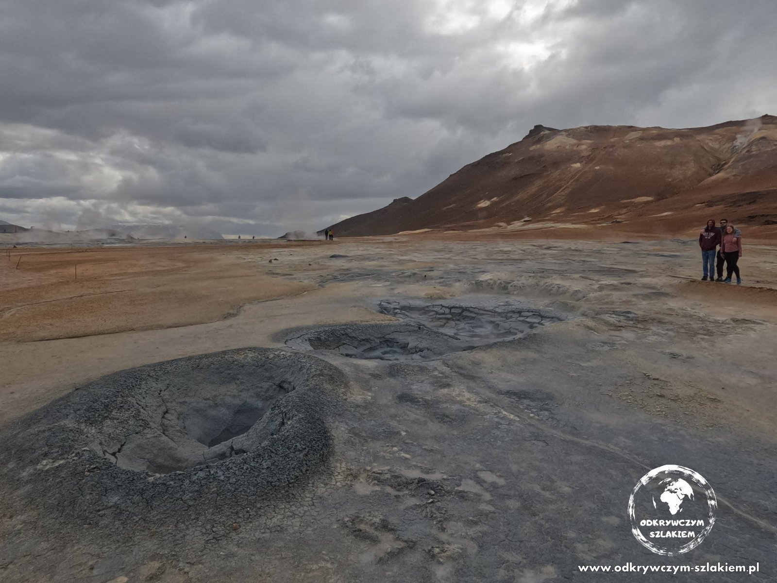
In the north the landscape changes completely. The Hverir geothermal area by Lake Mývatn means bubbling mud pots, steaming vents and orange-brown earth – plus a strong smell of sulphur. Near Mývatn we also went to the paid Mývatn Nature Baths.
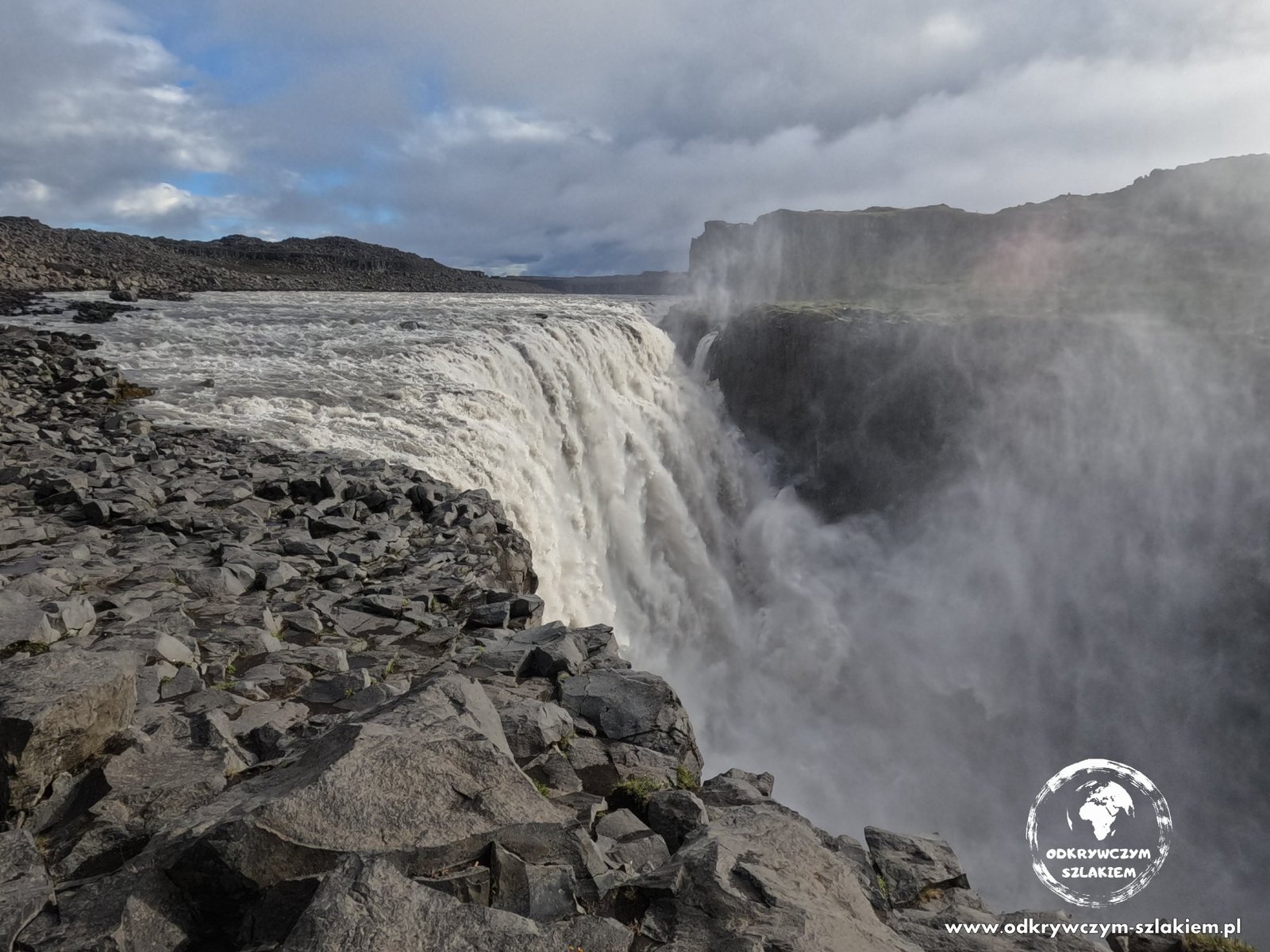
Dettifoss is said to be the most powerful waterfall in Europe – a huge mass of grey, murky water falls into a rocky canyon, and the spray rises high above the edge. This is where the opening scenes of the film “Prometheus” were shot.
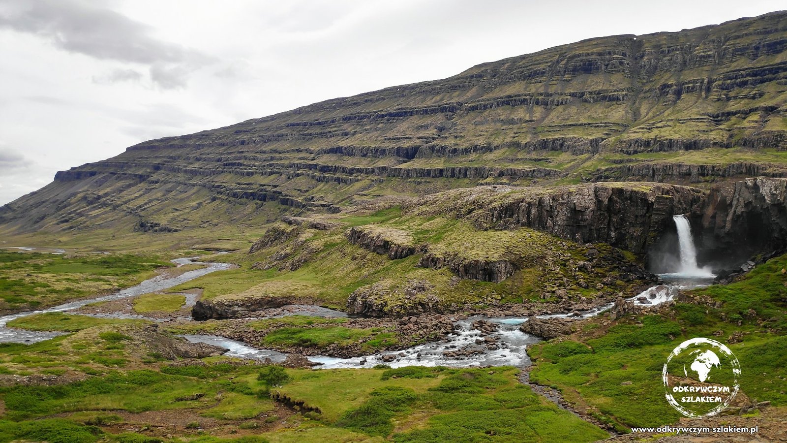
In the north-east we were badly bothered by midges – there was no escaping them, and a head net would have been very useful here. But the landscapes (like the one in the photo at the top of this post) made up for everything.
The east – Stuðlagil canyon and Fardagafoss
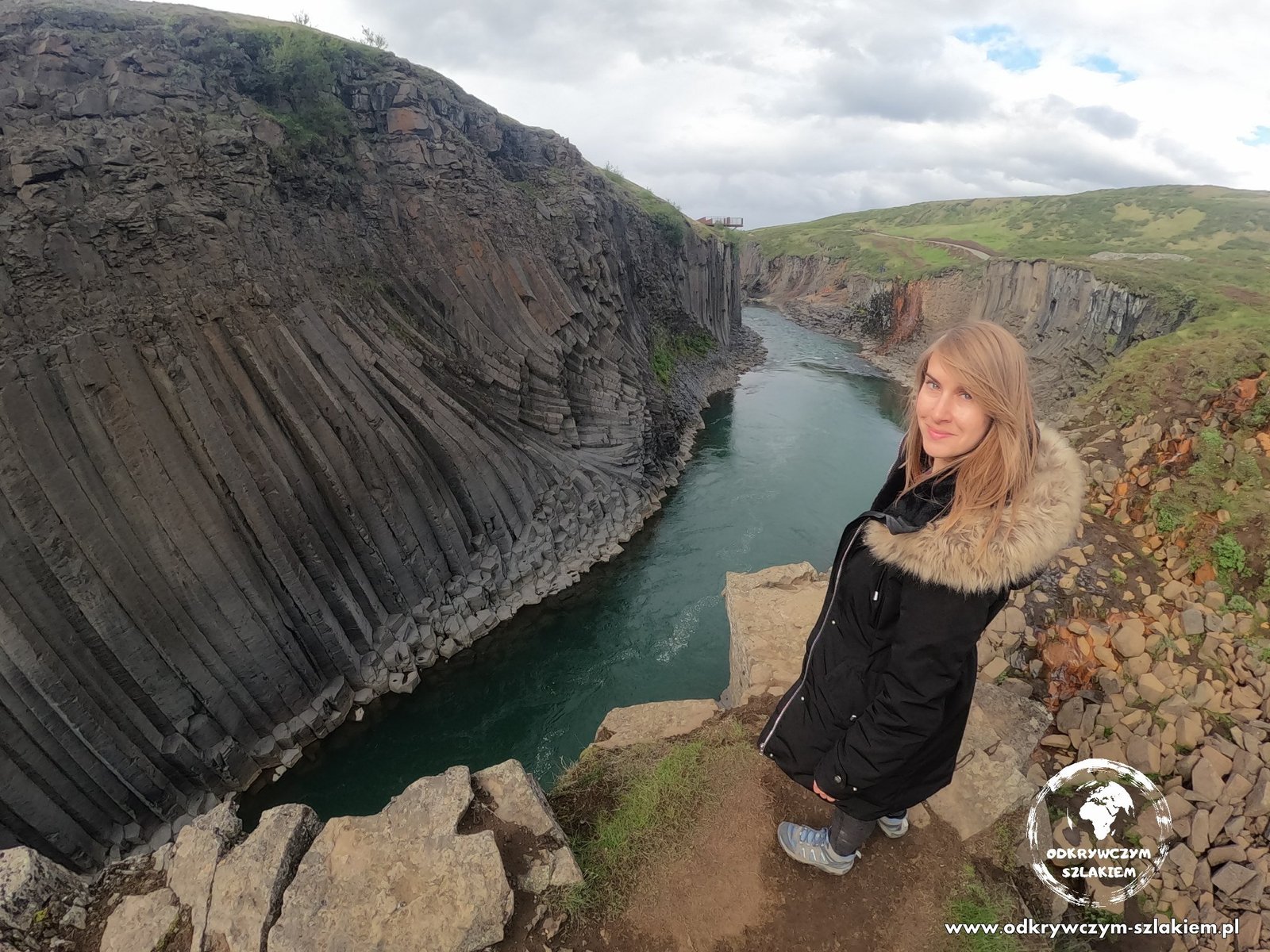
One of the most remarkable places on the route is Stuðlagil canyon. A turquoise river flows between walls of regular, hexagonal basalt columns, and from the canyon rim you can see them in all their glory.
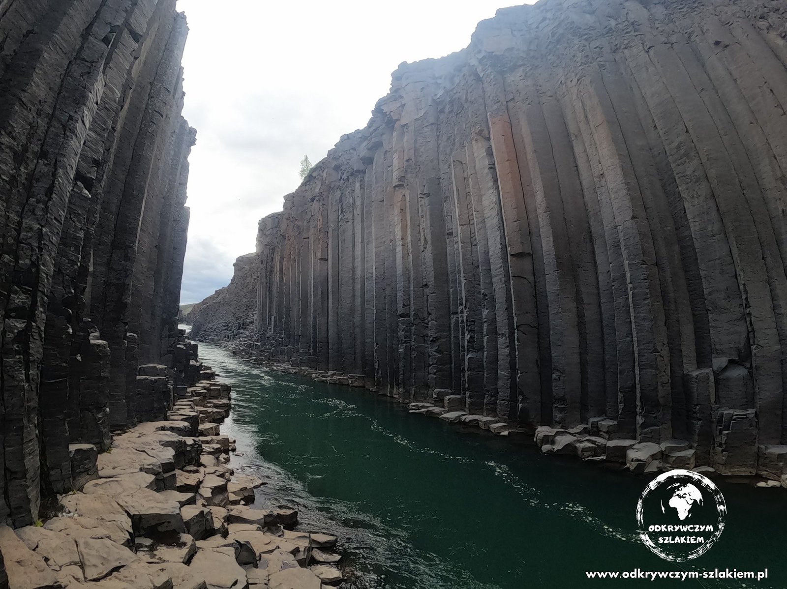
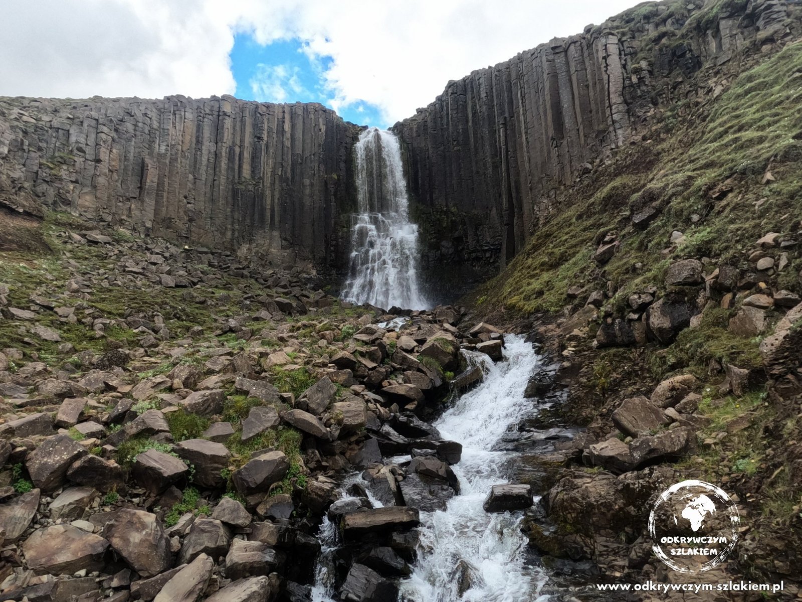
There is also a waterfall in the canyon, squeezed between the basalt columns – the whole thing looks almost geometric.
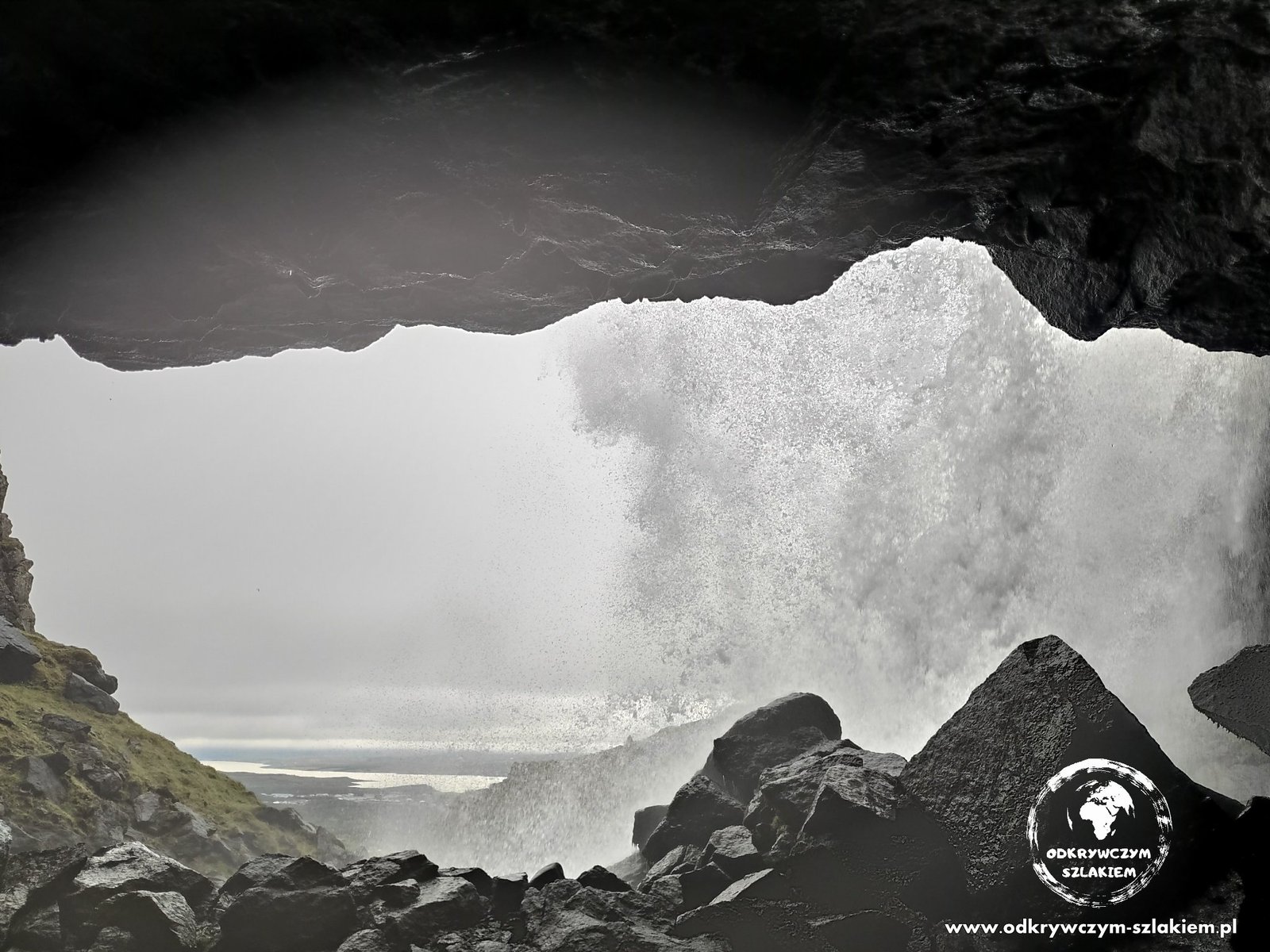
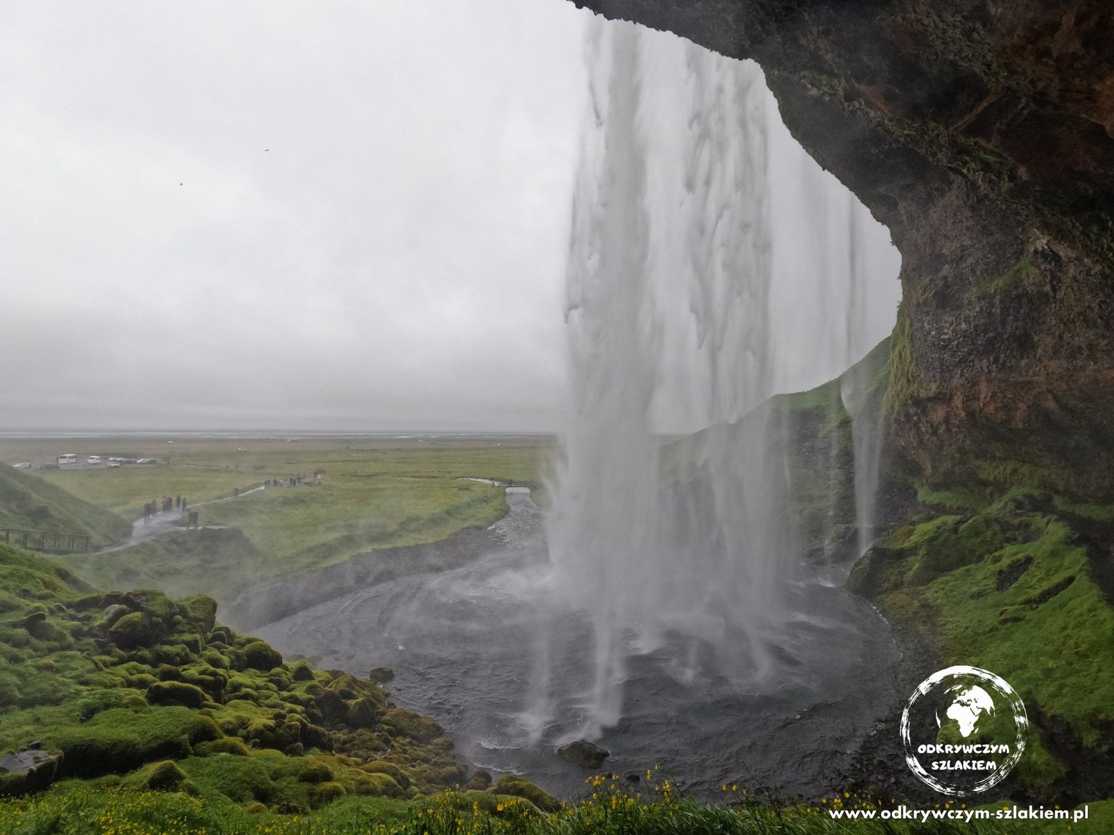
In the east of the country we also walked to Fardagafoss waterfall. A short trail leads to a cave behind the curtain of water, from where you see the waterfall from the inside.

The south – Jökulsárlón, Svartifoss and black beaches
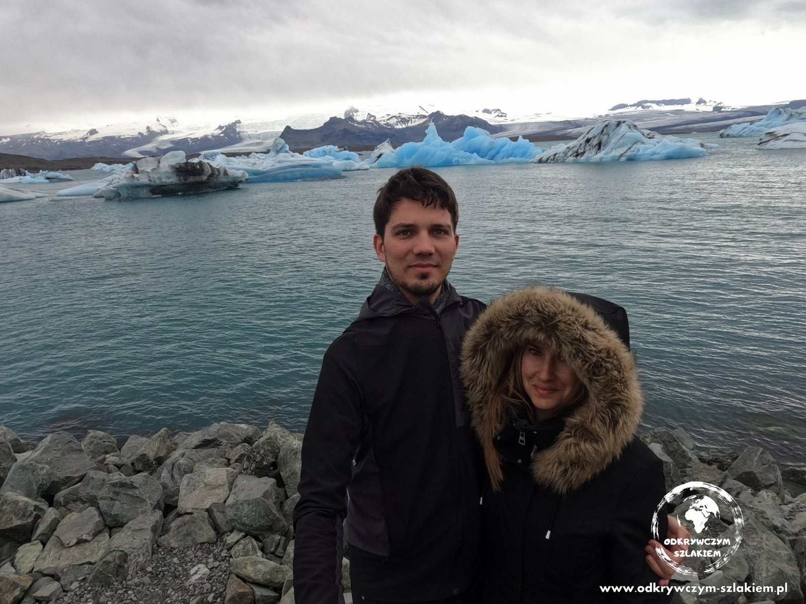
In the south-east we reached the glacier lagoon Jökulsárlón, where chunks of ice broken off the tongue of the Vatnajökull glacier float on the water. The blue-and-white ice against the mountains is a hugely impressive sight.
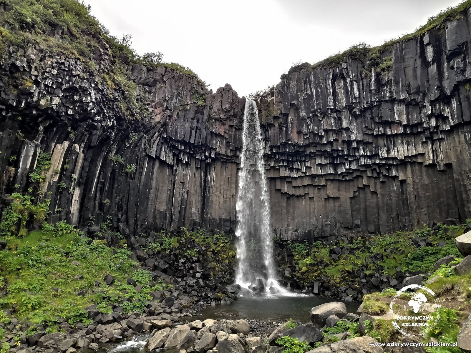
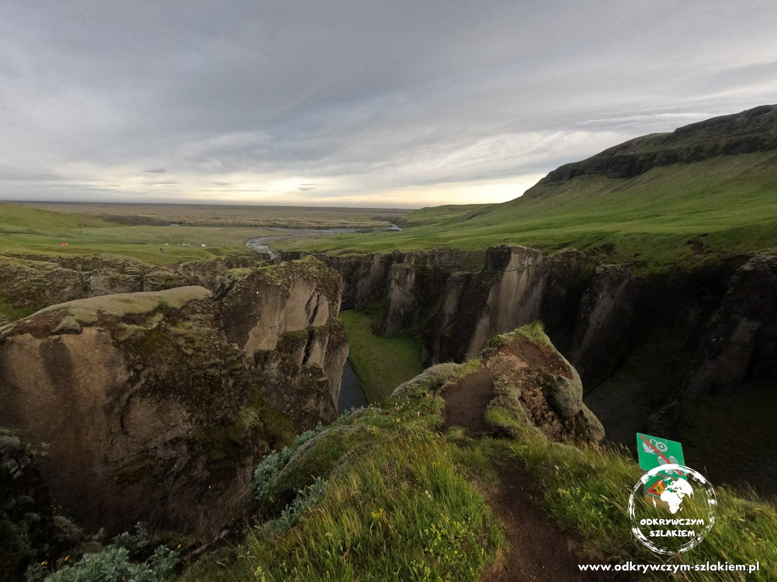
In Skaftafell, part of Vatnajökull National Park, we walked to Svartifoss waterfall, surrounded by dark basalt columns. A little further west is the Fjaðrárgljúfur canyon – we didn’t stay there long, because the wind made it hard to stay on our feet.
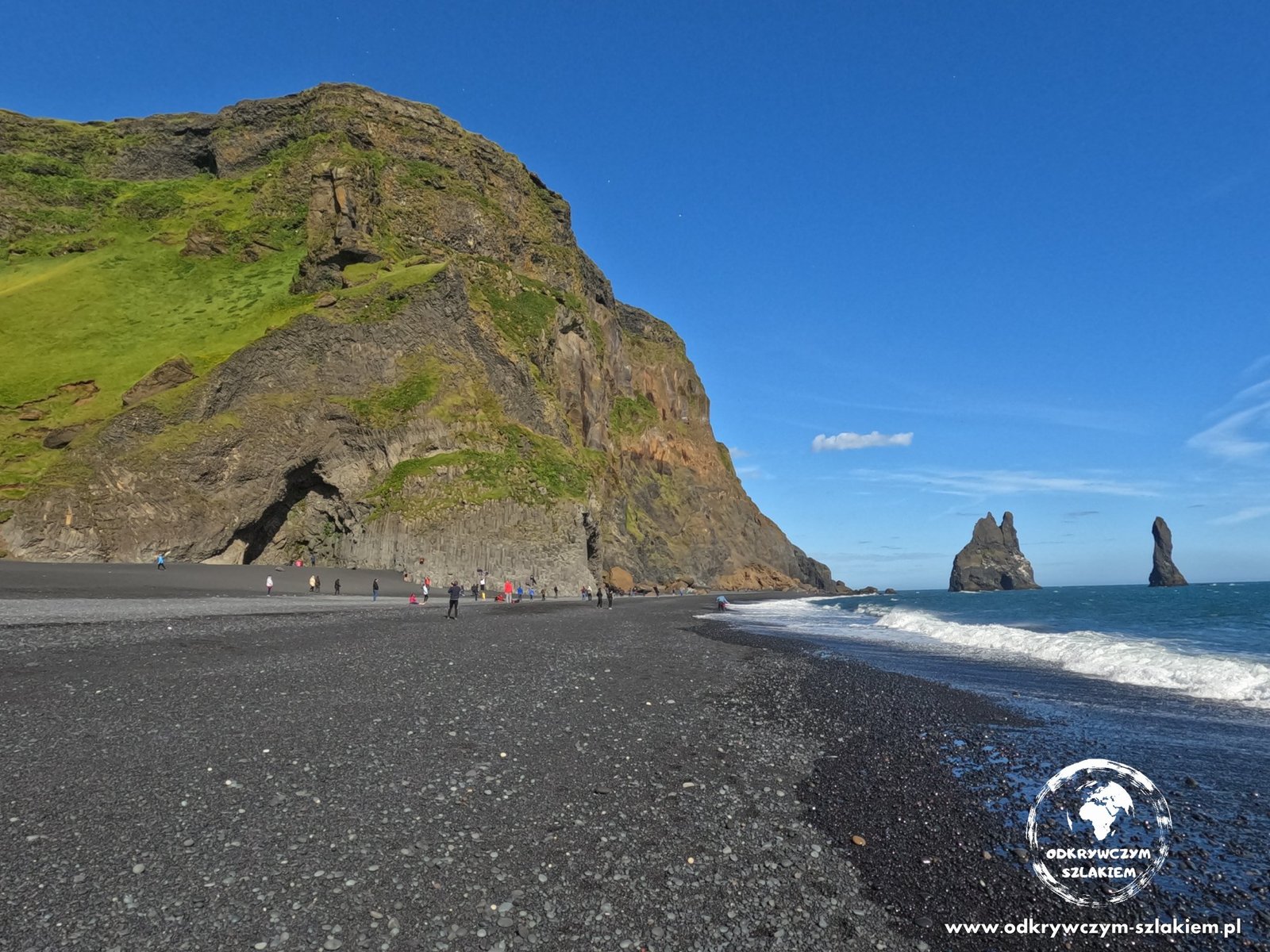
The area around Vík is all black beaches. At Reynisfjara there are basalt columns by the cliff and the Reynisdrangar sea stacks rising from the sea. On this beach you have to watch out for sudden, high waves – it’s best not to go close to the water.
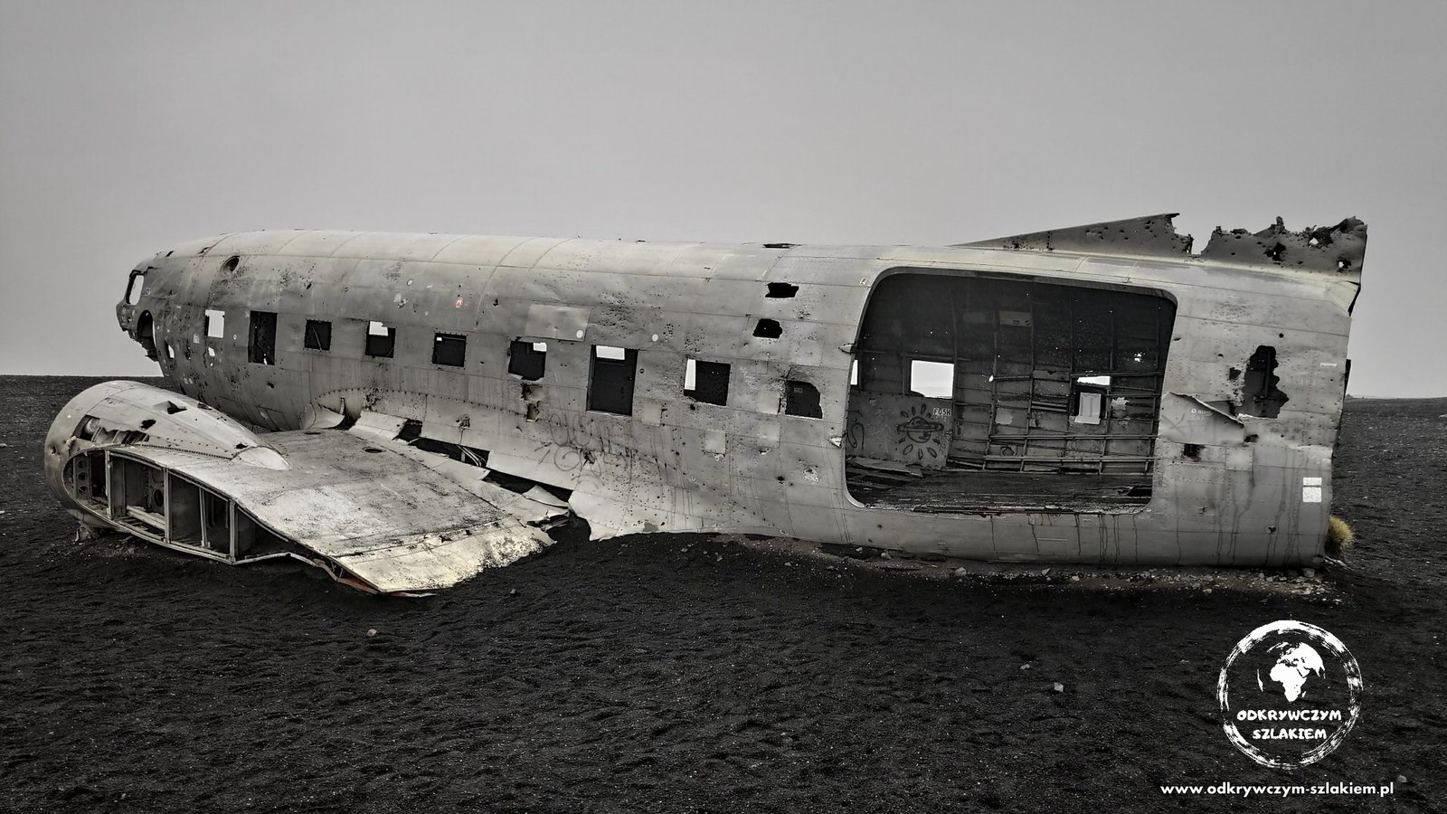
On Sólheimasandur beach lies the wreck of a US Navy Douglas DC-3 plane, which crashed here in 1973 (everyone on board survived). A monotonous road across the wasteland leads to it – an hour’s walk each way – or there is a rather expensive bus.
You can walk along a path behind Seljalandsfoss waterfall and look at the plain from behind the wall of water (a rain jacket comes in handy). We also slept at a campsite right next to Skógafoss waterfall and at the Þakgil campsite in the mountains – I write about them in the post with practical information.
Heimaey island
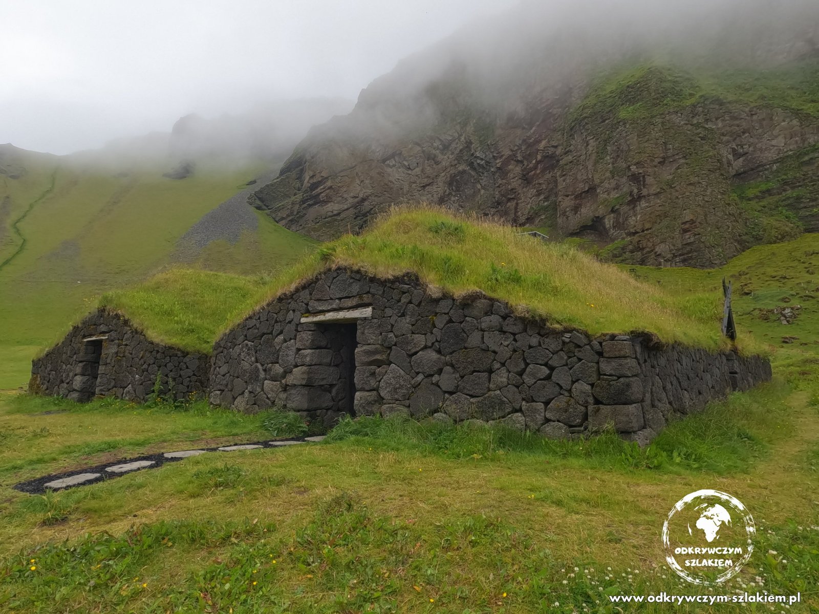
From the south coast we took a ferry to Heimaey – the only inhabited island of the Vestmannaeyjar archipelago. In 1973 an eruption of the Eldfell volcano buried part of the town in lava; today the island is green hills, cliffs and birds. Here we saw a reconstruction of Viking houses with turf roofs.
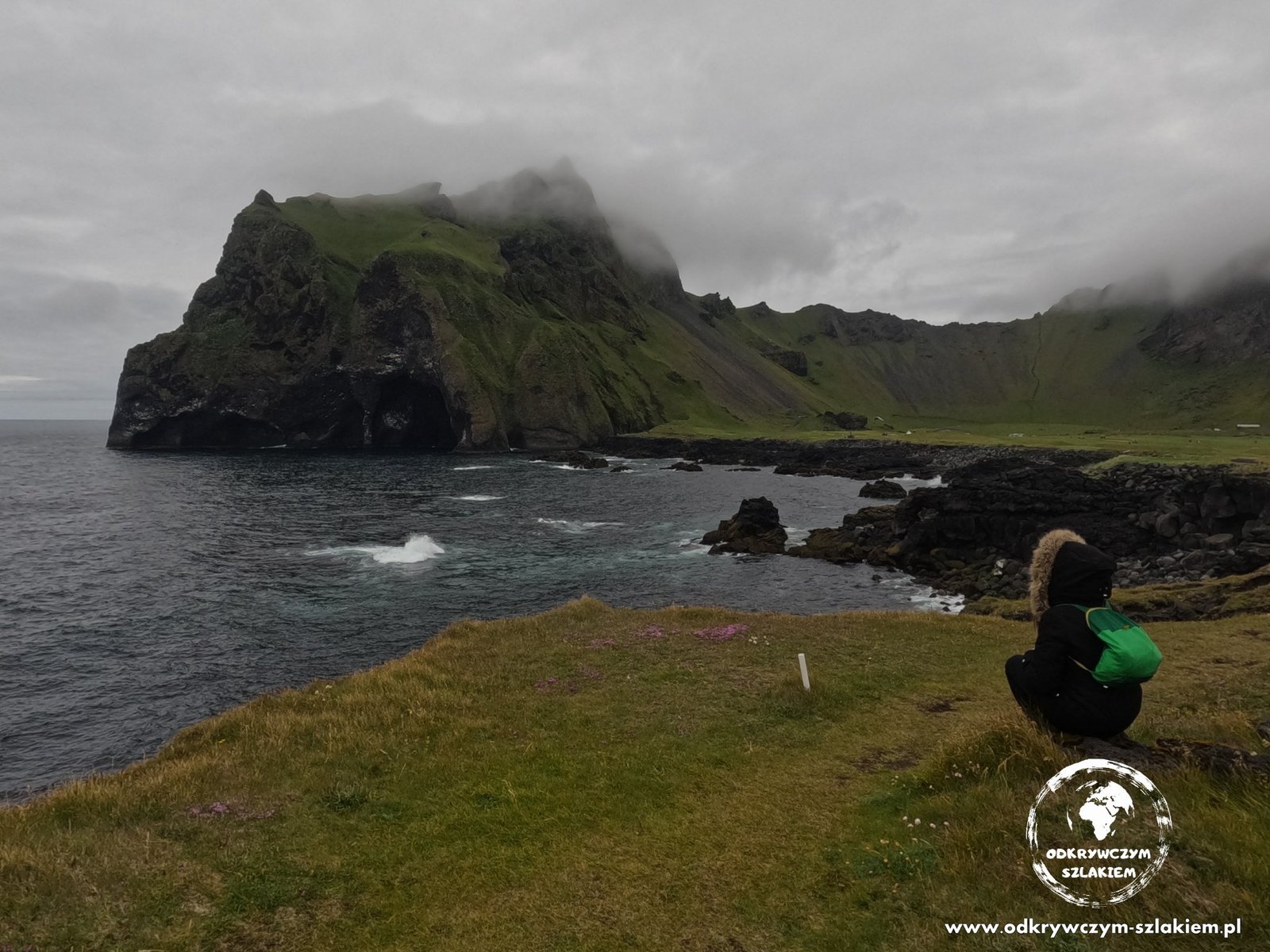
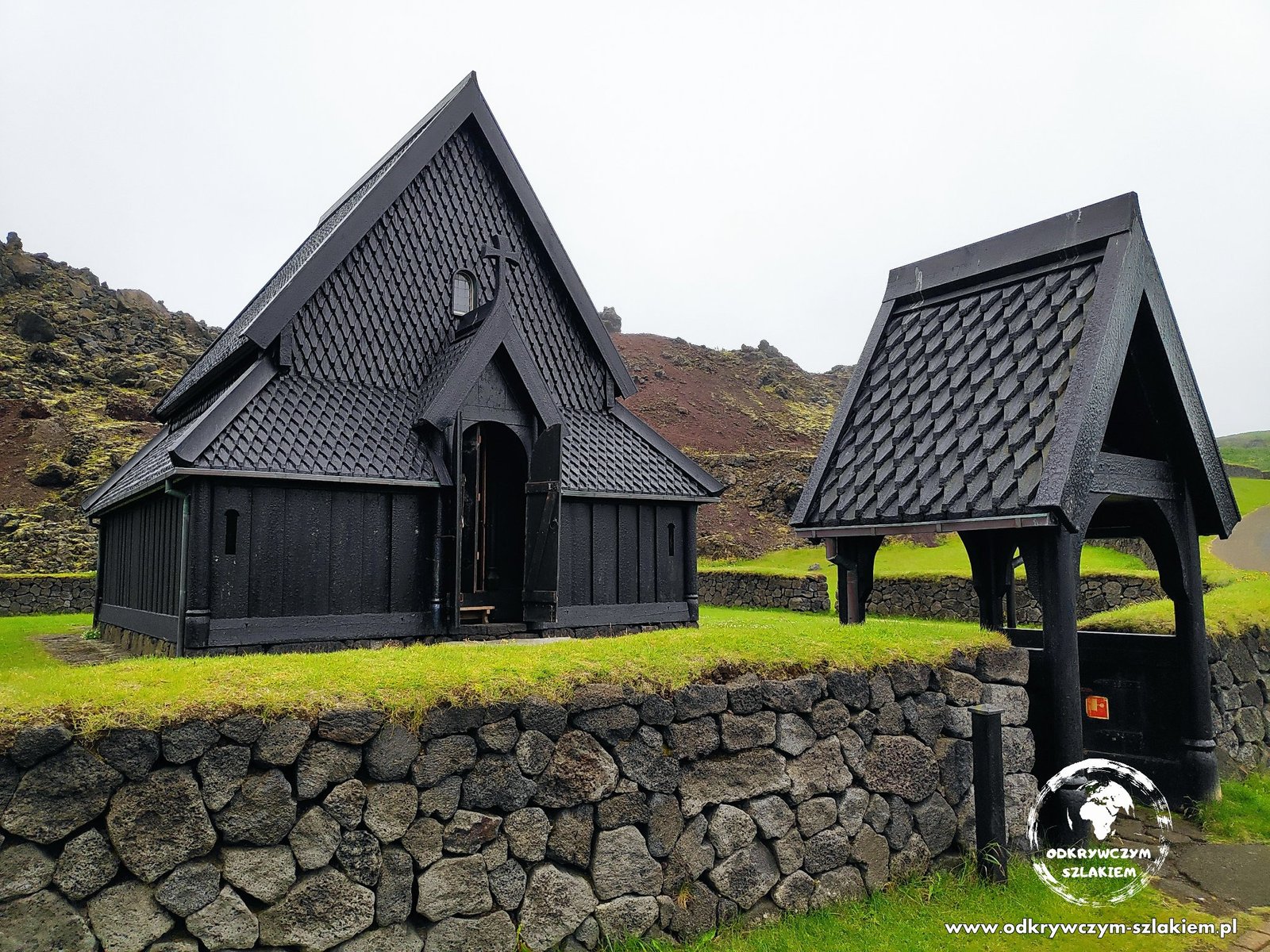
On the coast we spotted Elephant Rock – a formation that in profile really does look like an elephant’s head with its trunk dipped in the sea. By the harbour, in turn, stands a wooden church in the style of Norwegian stave churches.
The Golden Circle – Þingvellir, Geysir and Gullfoss
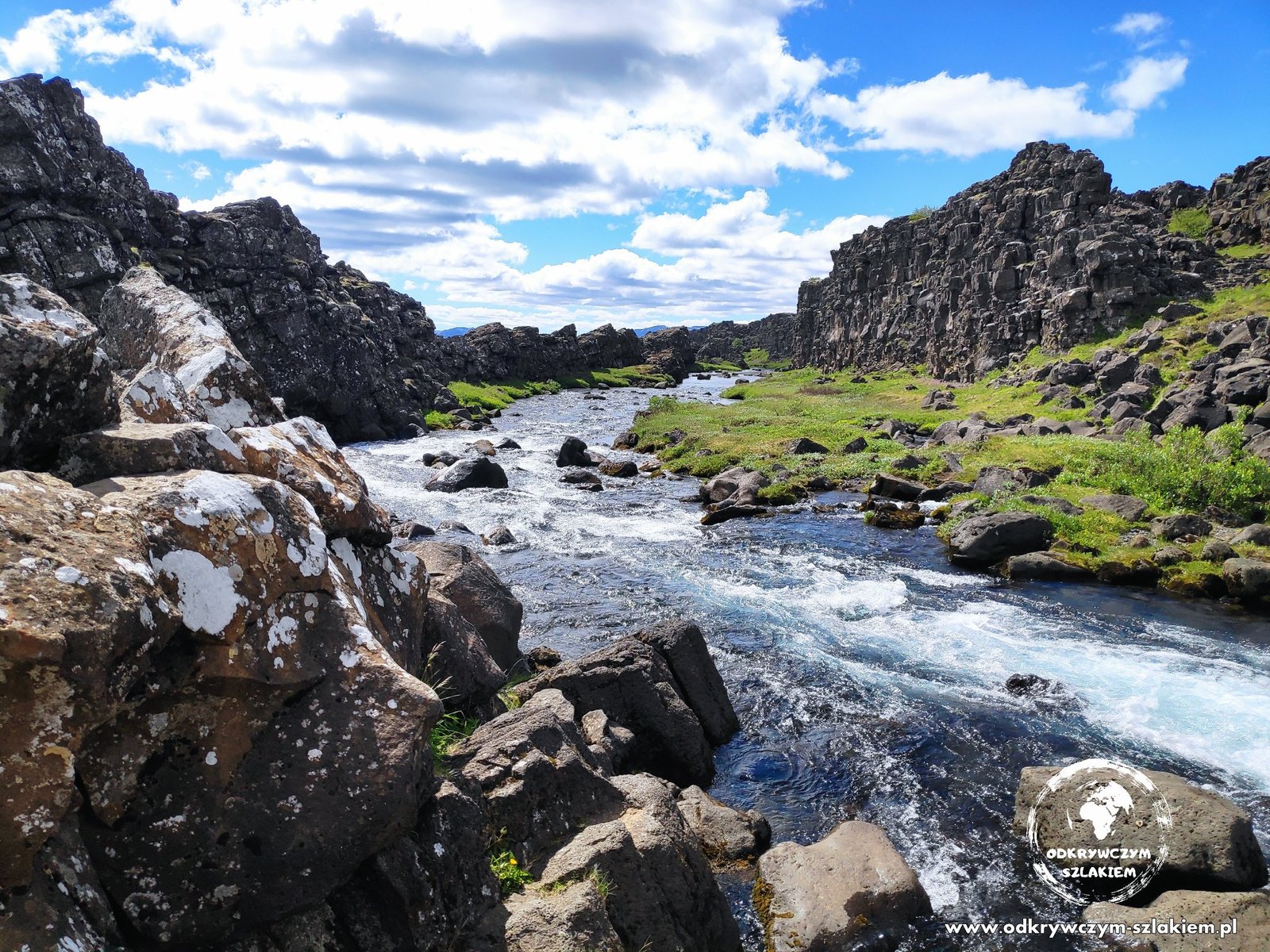
The Golden Circle is the most popular route near Reykjavík. In Þingvellir National Park, by the Öxarárfoss waterfall, you can see the place where two tectonic plates meet – the North American and the Eurasian. The rocks pull apart here into long rifts with a river running through them.
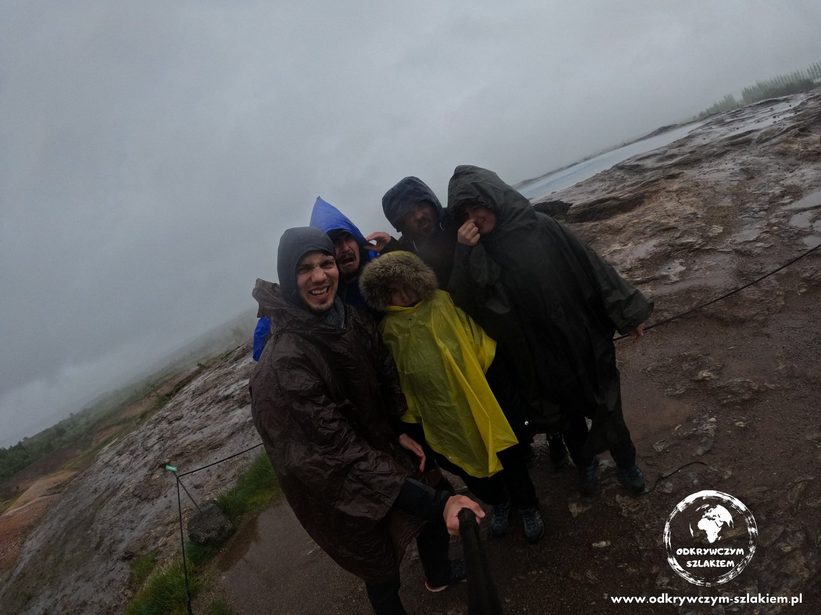
The Geysir geothermal area gave its name to all the geysers in the world. We got typical Icelandic weather here – it was pouring, it was windy and there was a smell of sulphur in the air, so we explored in rain ponchos.
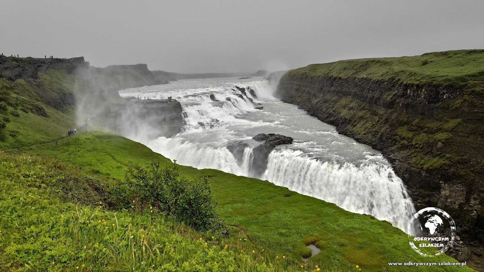
Gullfoss is a wide, enormous waterfall dropping in two steps into a narrow canyon – one of the symbols of Iceland. Around the Golden Circle we also bathed in the Hrunalaug hot spring and in the hot river in the Reykjadalur valley.
The Reykjanes peninsula – a bridge between continents
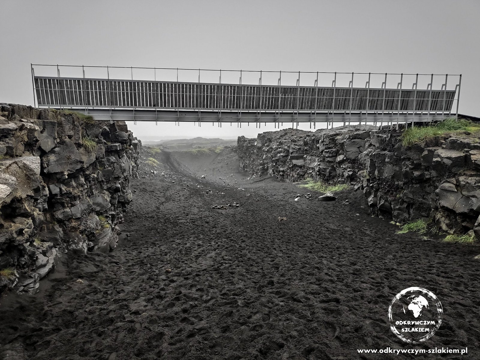
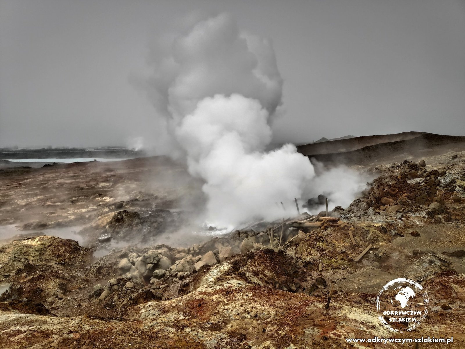
On the Reykjanes peninsula, not far from the airport, you can see the boundary of the tectonic plates for a second time – a bridge spans the rift, and by crossing it you symbolically walk from North America to Europe. Nearby is the Gunnuhver geothermal area with its clouds of hot steam.
What we didn’t see – Landmannalaugar
The place we wanted to see most was Landmannalaugar – an area known as the “rainbow mountains”, where we planned to spend a whole day hiking. We deliberately left it for the end of the trip, because the roads into the heart of the island (the so-called Highlands) are closed outside the season, and when they open depends on the weather in a given year. This time the snow lasted unusually long and the roads opened about two days after we were supposed to be there. Instead we visited places we would otherwise not have had time for.
Even a month wouldn’t be enough to see all of Iceland at a relaxed pace. We ran out of time for hiking – especially multi-day treks – and our plan turned out to be too ambitious anyway, so we skipped some of the less important sights. Maybe we’ll come back one day – on the one hand it wasn’t easy, on the other we kind of miss travelling from place to place and sleeping in a tent.
Photo gallery