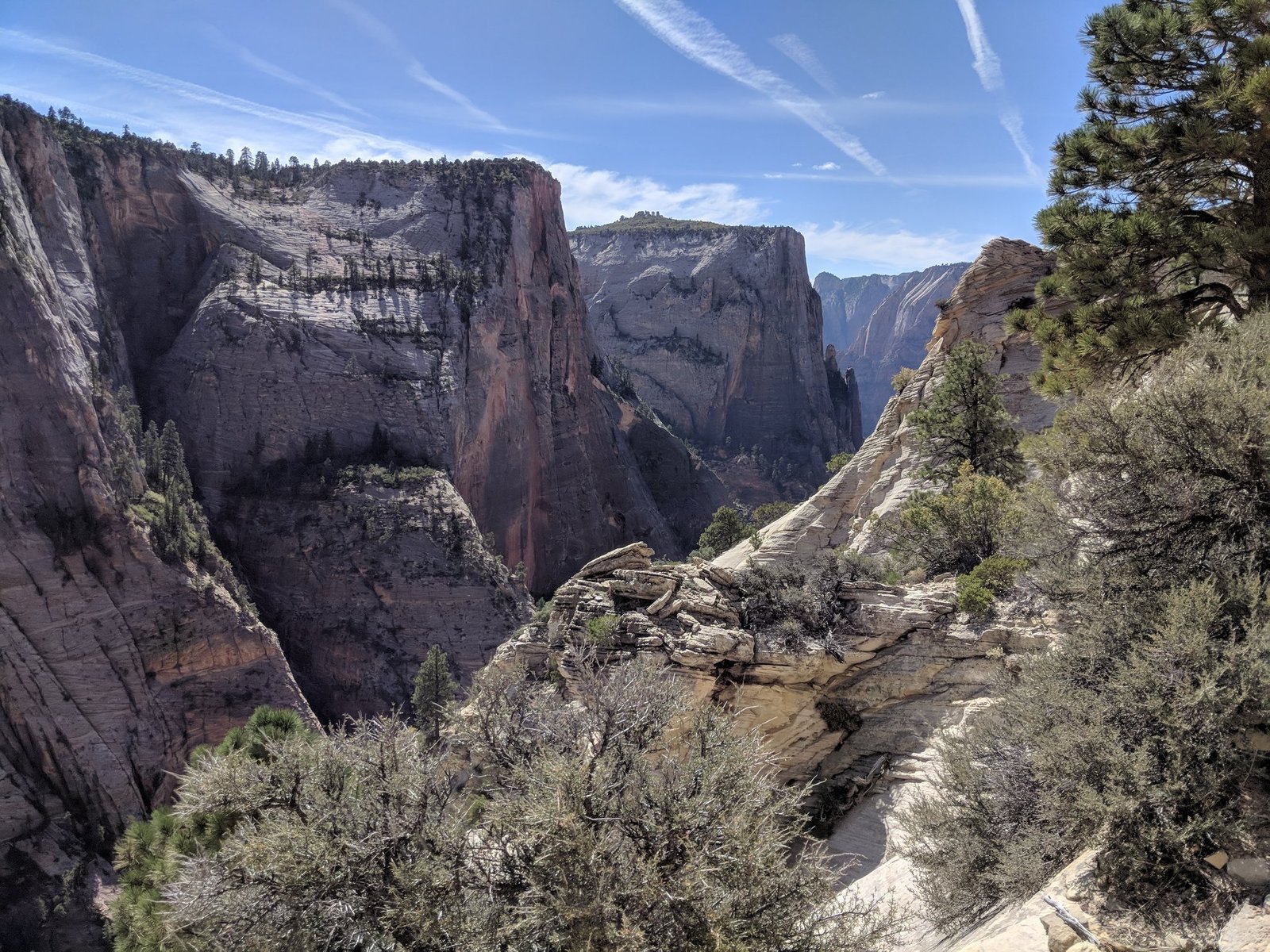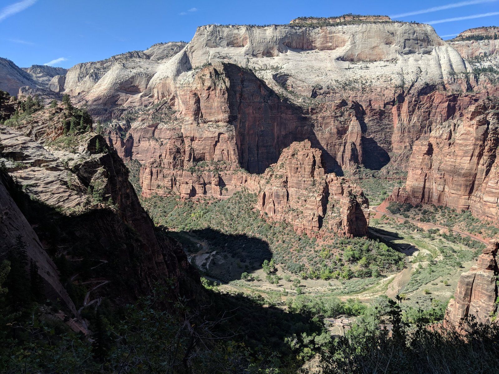
Zion National Park in the south-west of Utah is one of the greenest parks we saw in the USA: red and white sandstone walls, and on the canyon floor trees and the Virgin River. It’s known, among other things, for one of the most dangerous trails in the country – Angels Landing, which runs along a ridge right next to sheer drops. We had a day and a half here: on the evening of 8 October a short trail to a viewpoint, on 9 October Angels Landing, and on 10 October Observation Point. In this post you’ll find out how fear makes things look bigger than they are and which of the two trails we liked more.
Table of contents
- Getting there and where we slept
- Canyon Overlook – a good start
- The Angels Landing trail
- The Observation Point trail
- Other popular trails
- Practical information
Getting there and where we slept
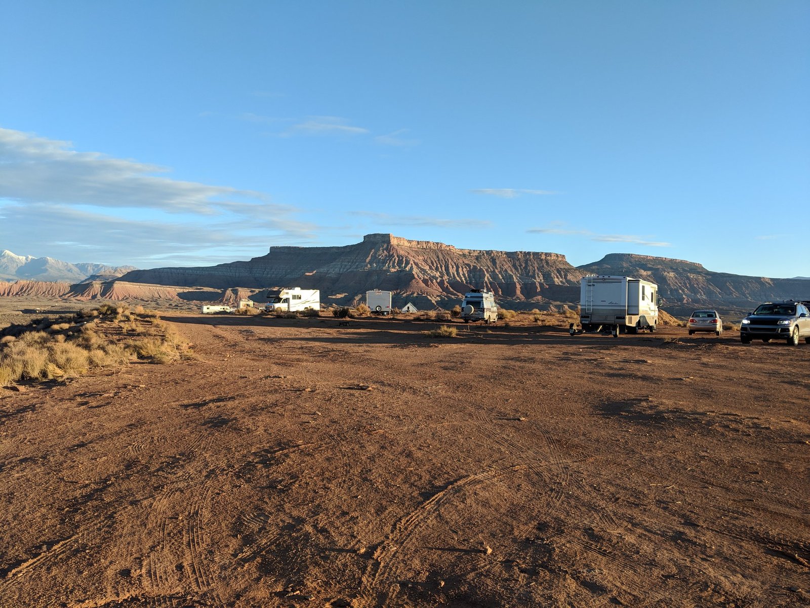
We reached the park on the evening of 8 October, on the way from Las Vegas. Because we arrived late, we slept at a free campsite we had found online – about 20 km from the park, with no toilets or bathrooms, just a big open area. Every evening lots of people pulled in there, mostly in campervans. We pitched our tent, and the rest of our group slept in the cars.
Fun fact: the forecast for Zion showed −1°C at night, but at our camping spot it was +4–5°C. In the States it’s worth checking the forecast for the specific place – the climate can change a lot even over short distances.
Canyon Overlook – a good start
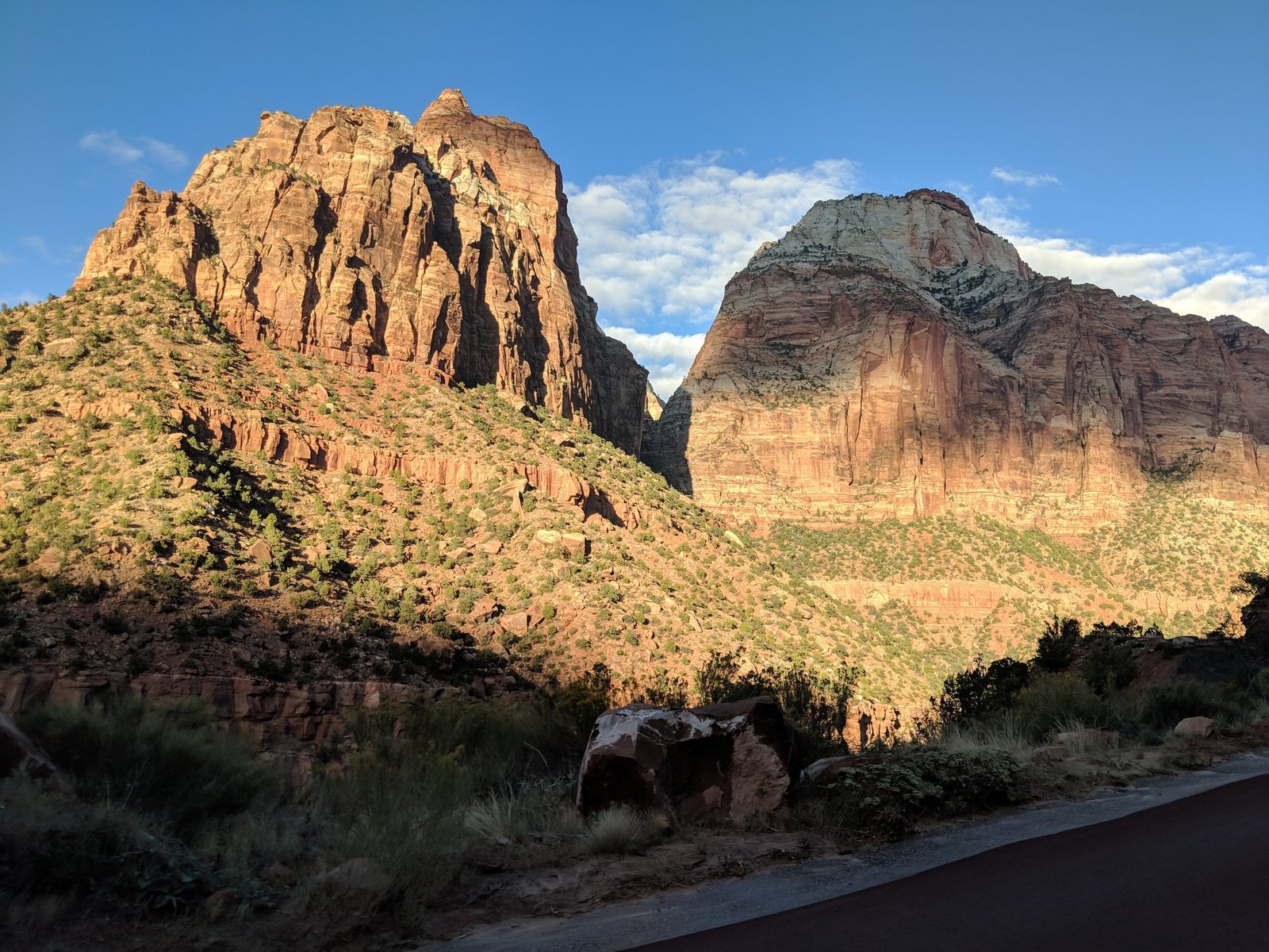
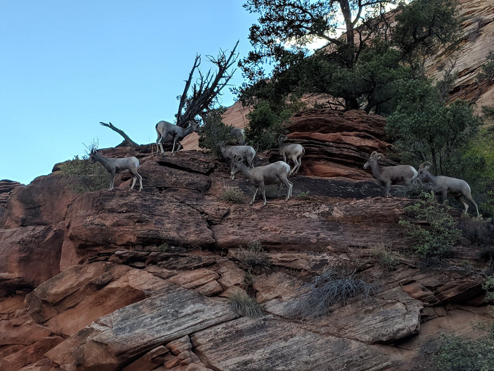
There wasn’t much of the day left, so we took the short Canyon Overlook trail – about 1.5 km there and back, with its highest point at around 1600 m. The trail starts at the eastern end of the tunnel on the Zion–Mount Carmel road. Even before we got onto the trail we came across a small herd of bighorn sheep, which live wild here and didn’t care about people at all.
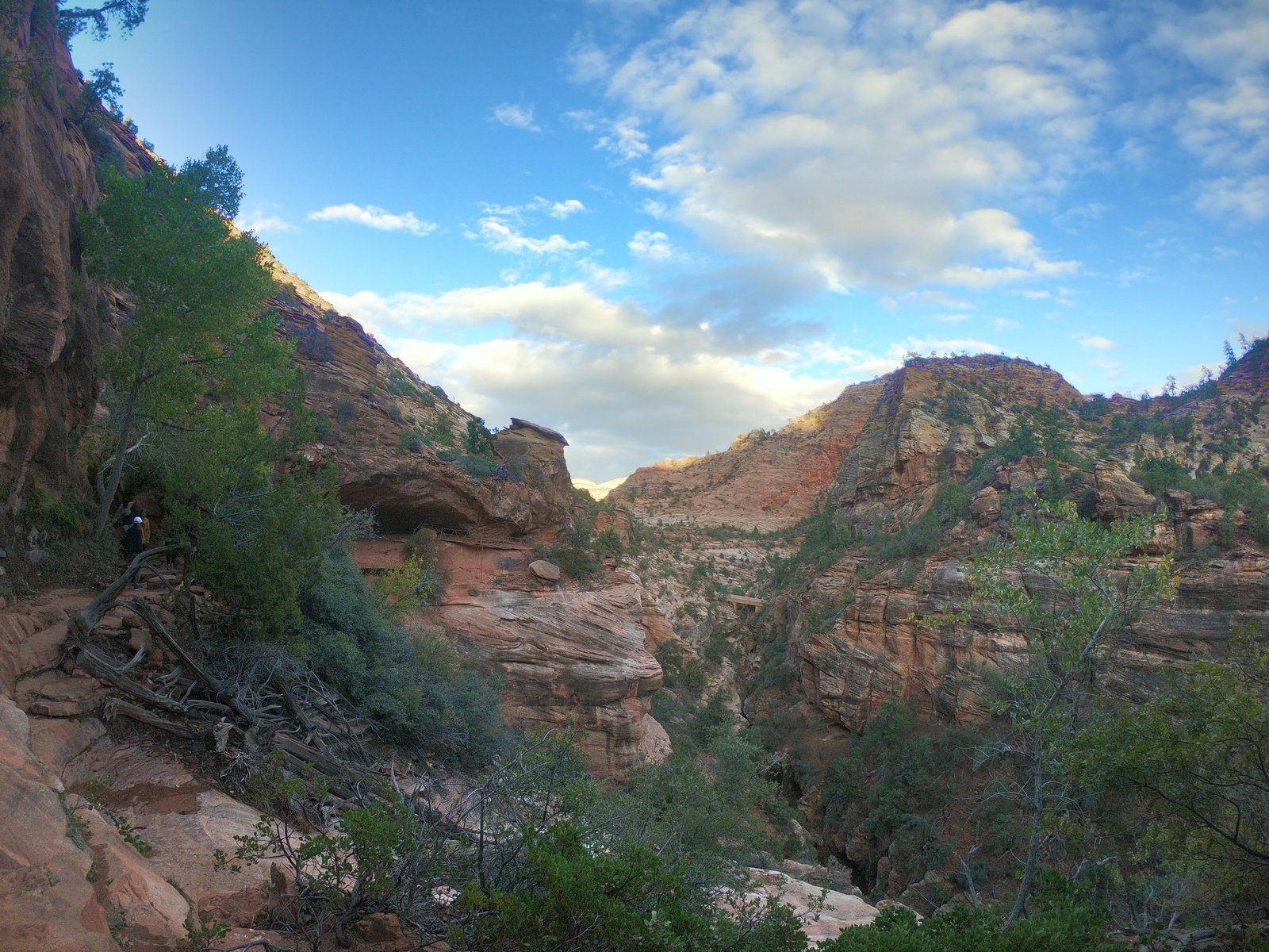
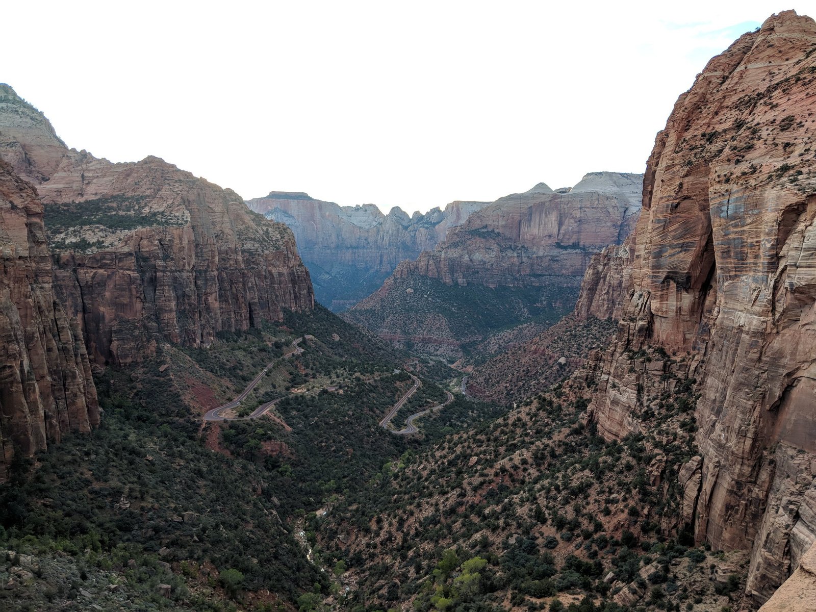
At the end there’s a viewpoint over the valley and the switchbacks of the road we had driven in on – a great place for sunset and a good first look at the park if you arrive late.
The Angels Landing trail
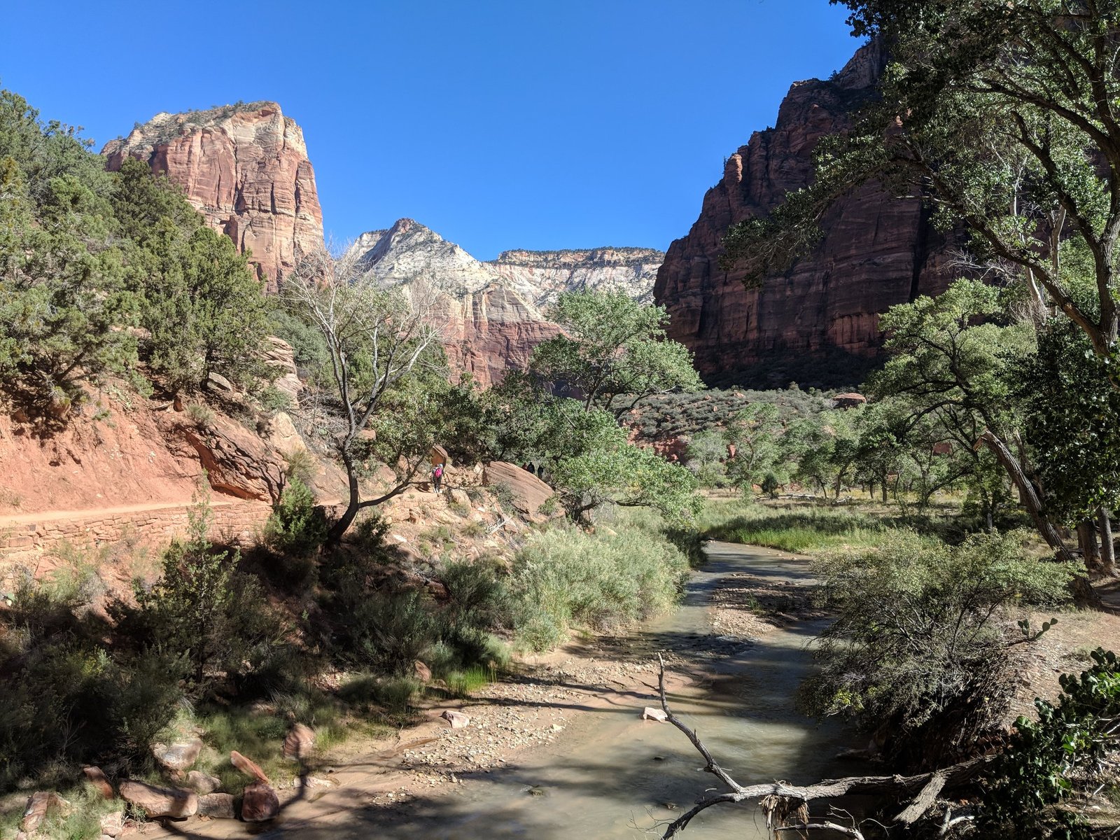
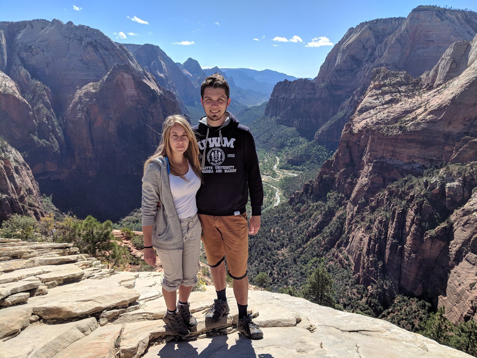
On 9 October we set off for Angels Landing – in theory the most dangerous and certainly the best-known trail in Zion. It’s about 8.7 km there and back with about 450 m of elevation gain, the highest point at about 1765 m; it takes around 4 hours. The first part is a comfortable, if steep, path with tight switchbacks (Walter’s Wiggles) up to Scout Lookout. Then the final stage begins – a narrow ridge where you hold on to safety chains, with drops on both sides.
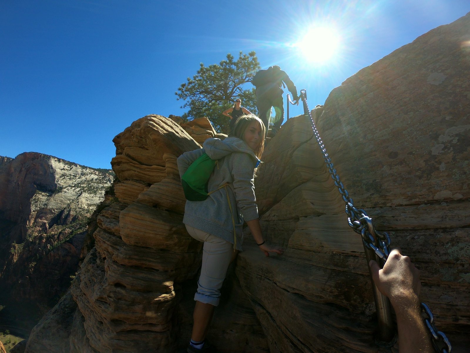
In some places it’s very narrow and steep, but in reality it looks worse in photos than it actually is. Fatal accidents do happen here, but if you go in decent weather and keep your wits about you on the way up, we can’t really see how anything could happen to you. Apart from this short section, most of the route isn’t demanding.
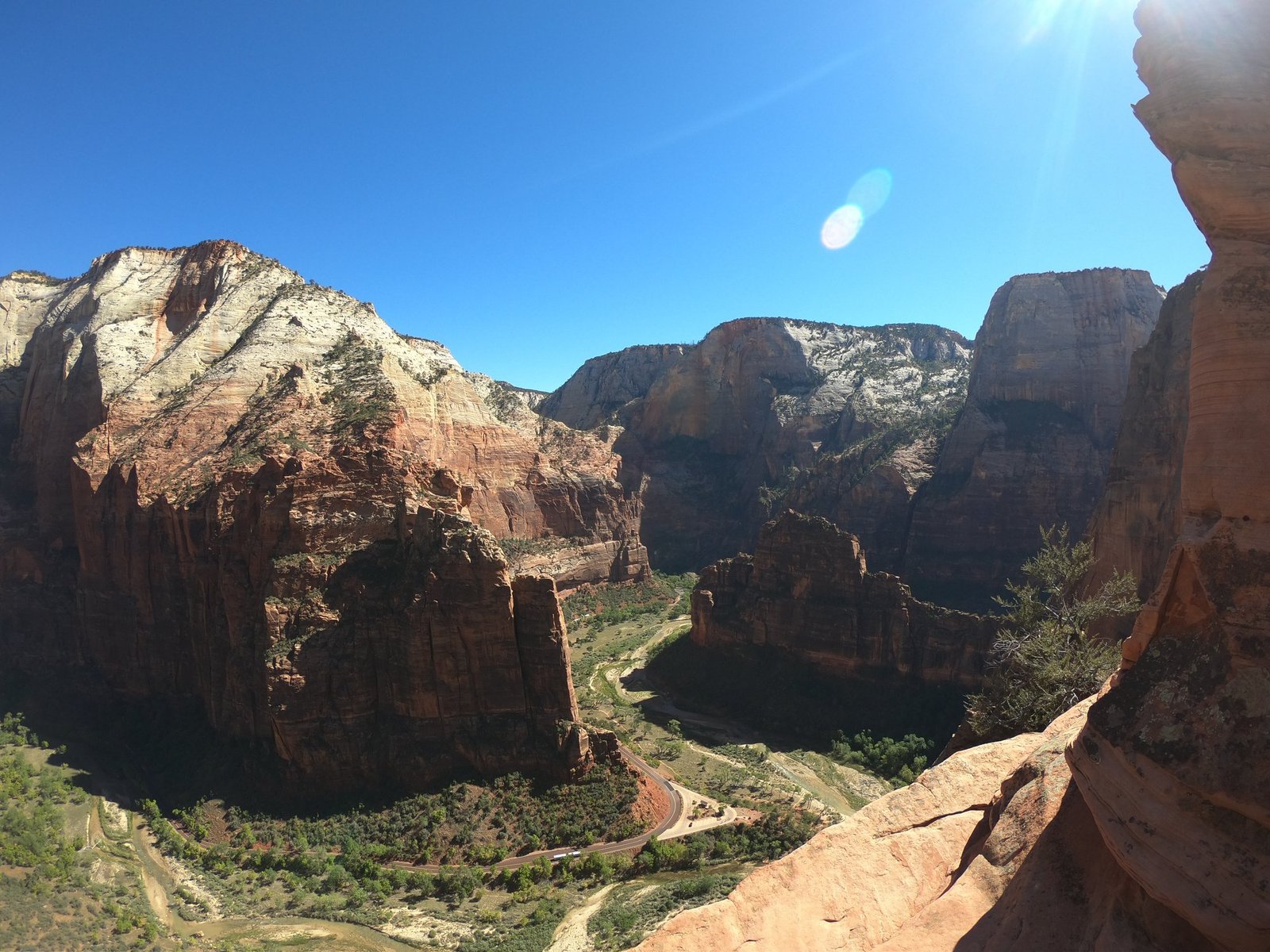
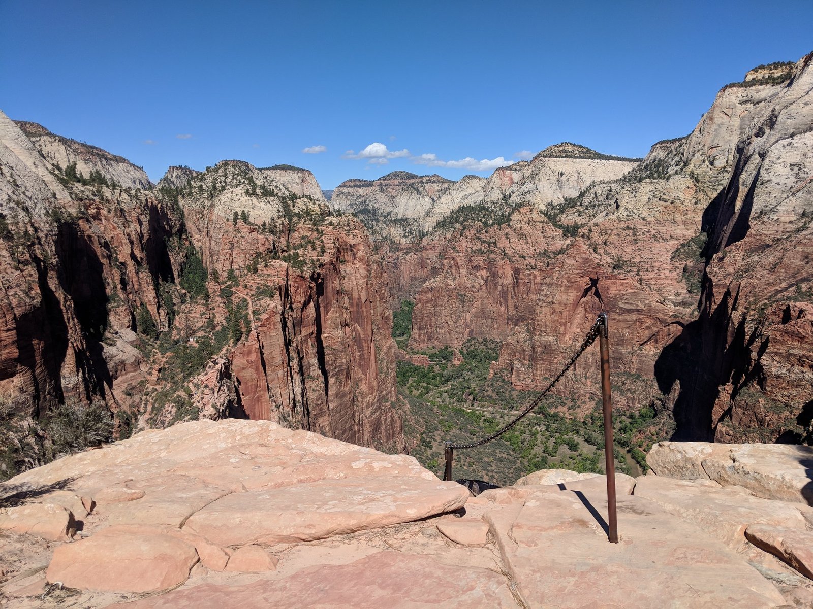
Important: since 2022 you need a permit for the section from Scout Lookout to the top (the one with the chains), allocated by lottery on Recreation.gov – in a seasonal lottery or the day before. In 2018 we still went up without one. You can walk to Scout Lookout itself without a permit.
The Observation Point trail
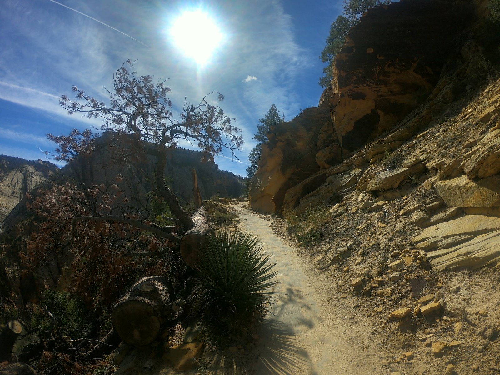
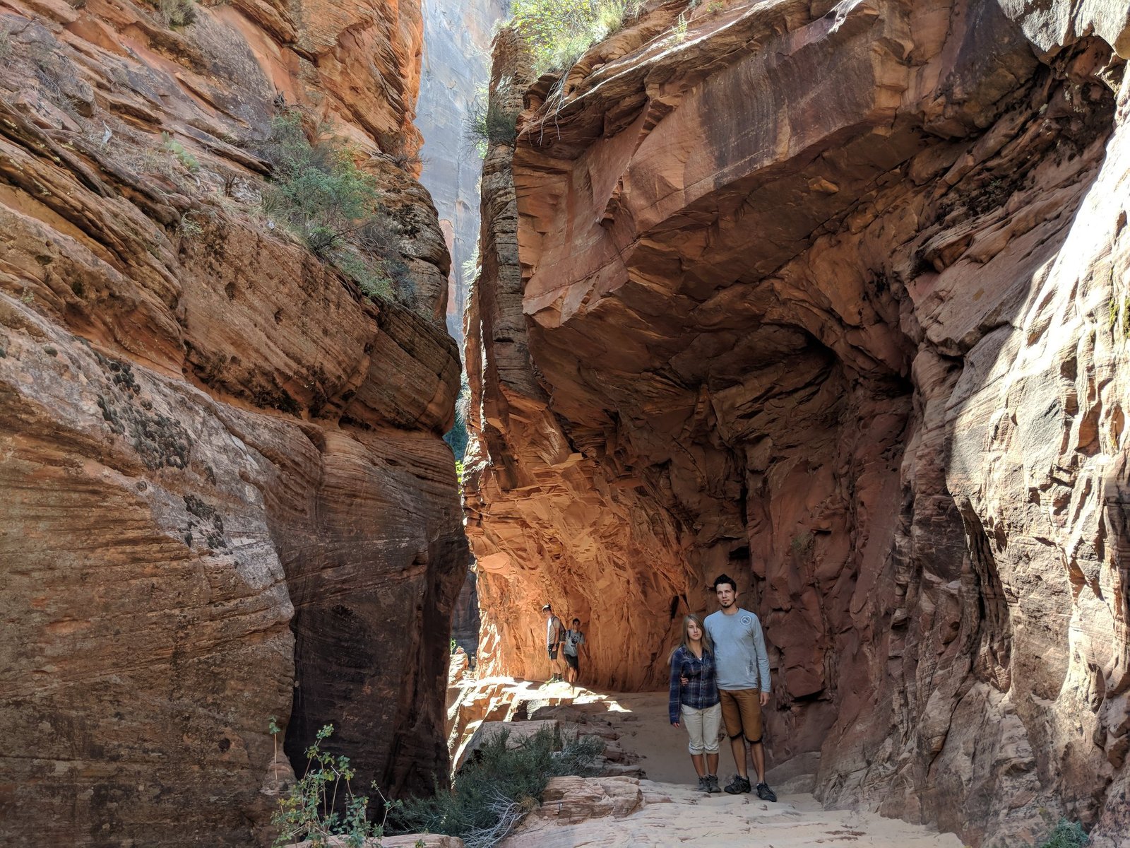
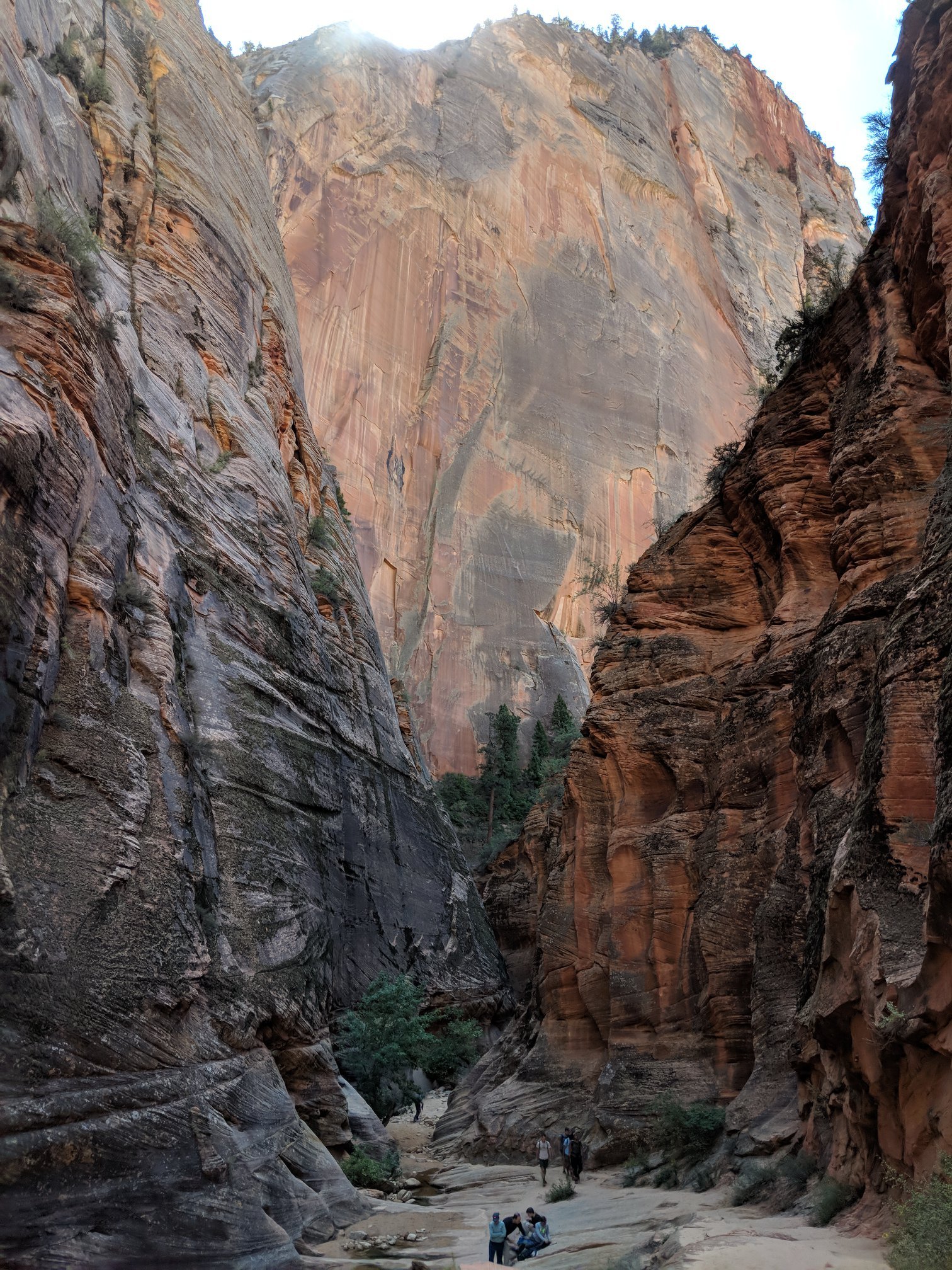
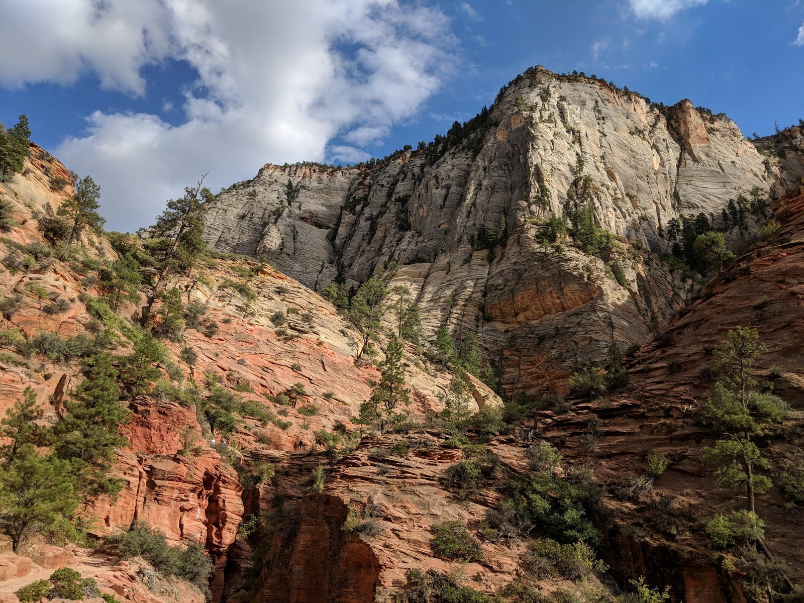
On 10 October we went to Observation Point – and in our opinion it’s a much prettier trail than Angels Landing. The terrain was more varied: first switchbacks up the slope, then the narrow Echo Canyon, and on the flat summit plateau there was quite a lot of greenery – far more than along the trail itself. The route was about 13 km there and back, with the highest point at about 2000 m; it takes 4 to 6 hours.
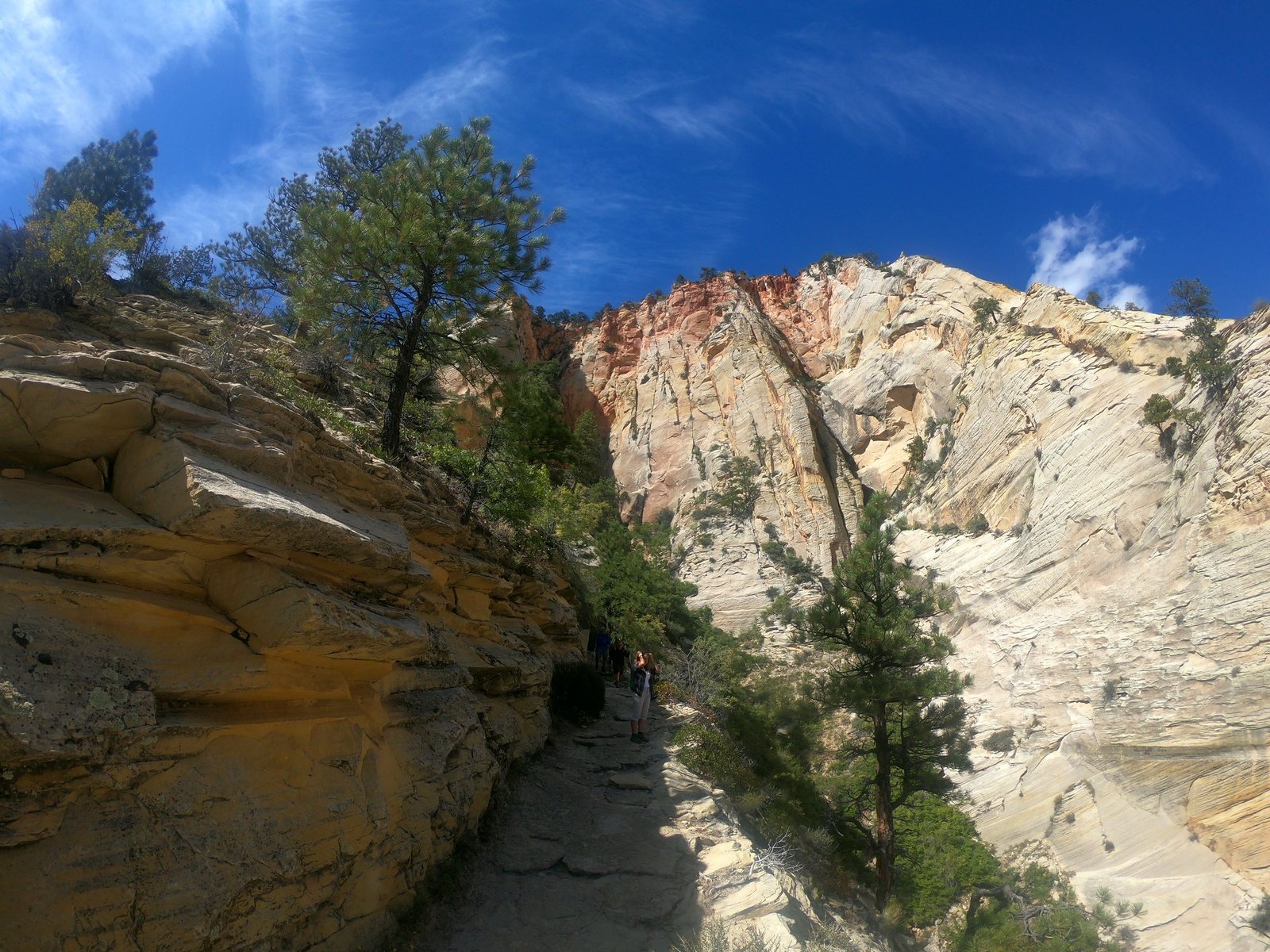
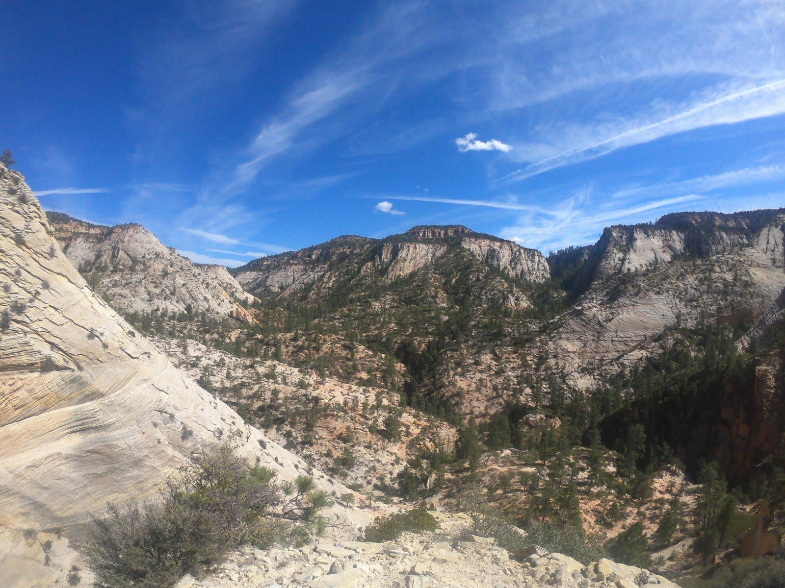
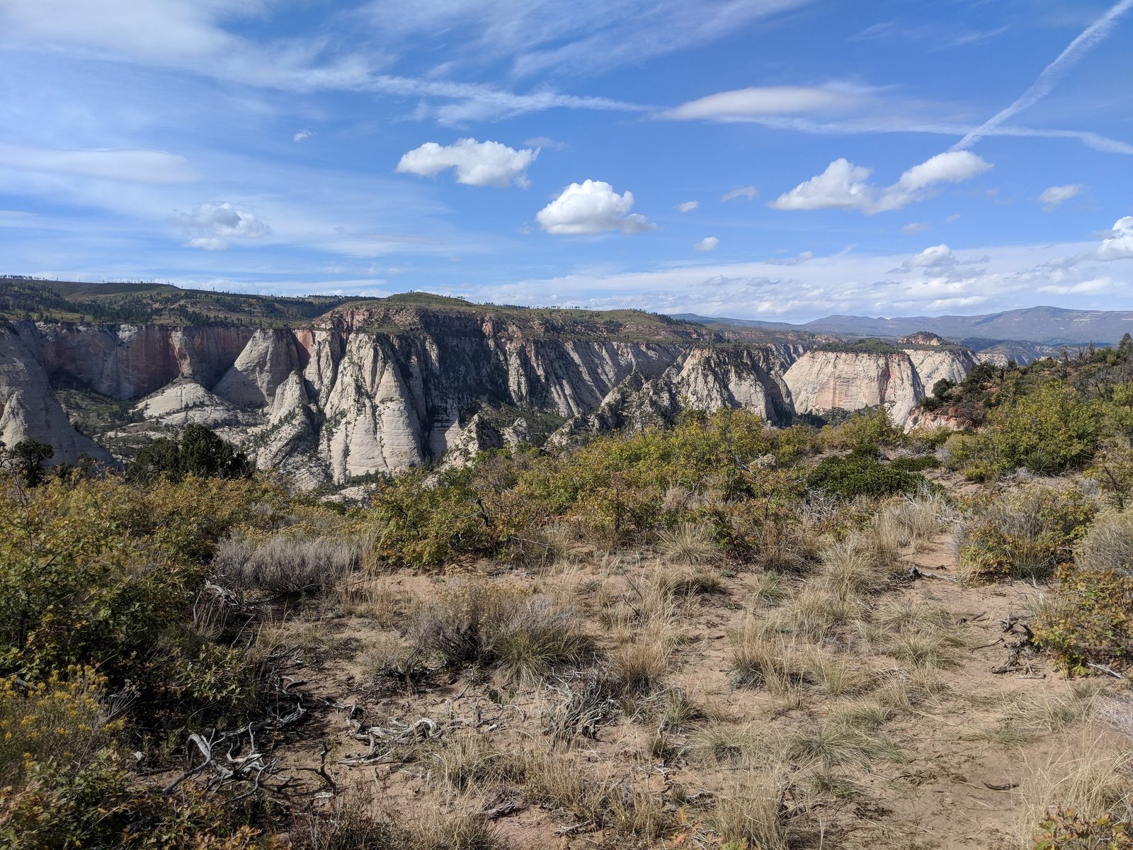
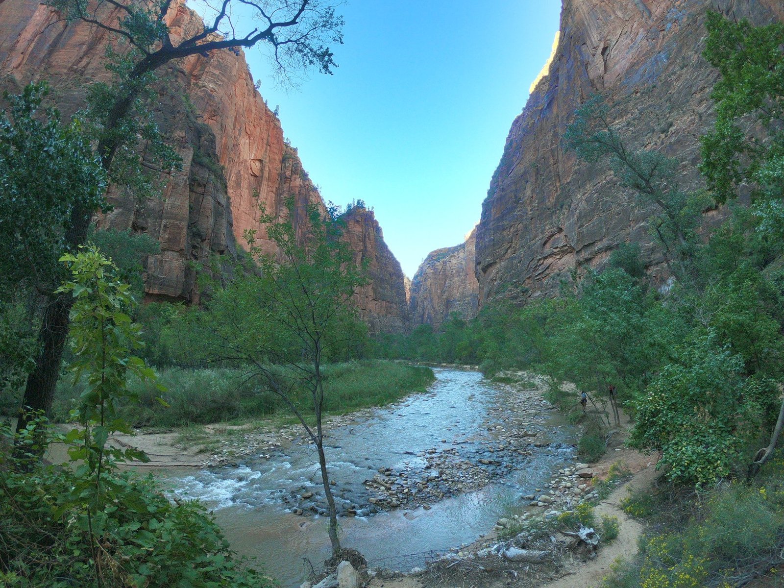
At the end there was a view down the canyon – of the Virgin River valley and the Angels Landing ridge we had walked the day before. From above you can see how narrow that tongue of rock is and why the trail is so famous.
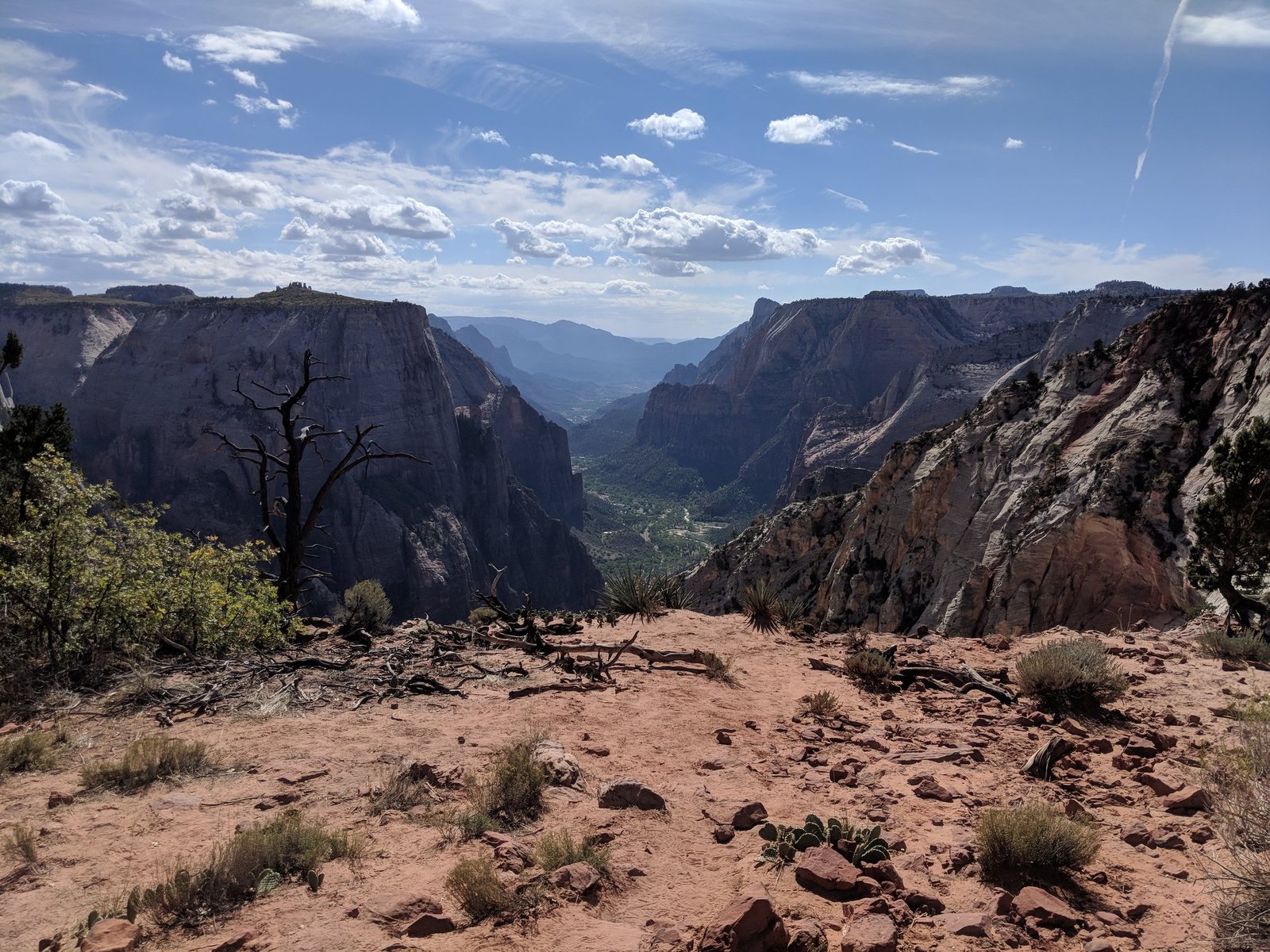
Note: the trail we took (from Weeping Rock) has been closed since 2019 after a huge rockfall, and there are no plans to reopen it. Today you can only reach Observation Point from the east, on the East Mesa Trail – about 11 km there and back, with almost no elevation gain, starting outside the canyon. The view from the top is the same.
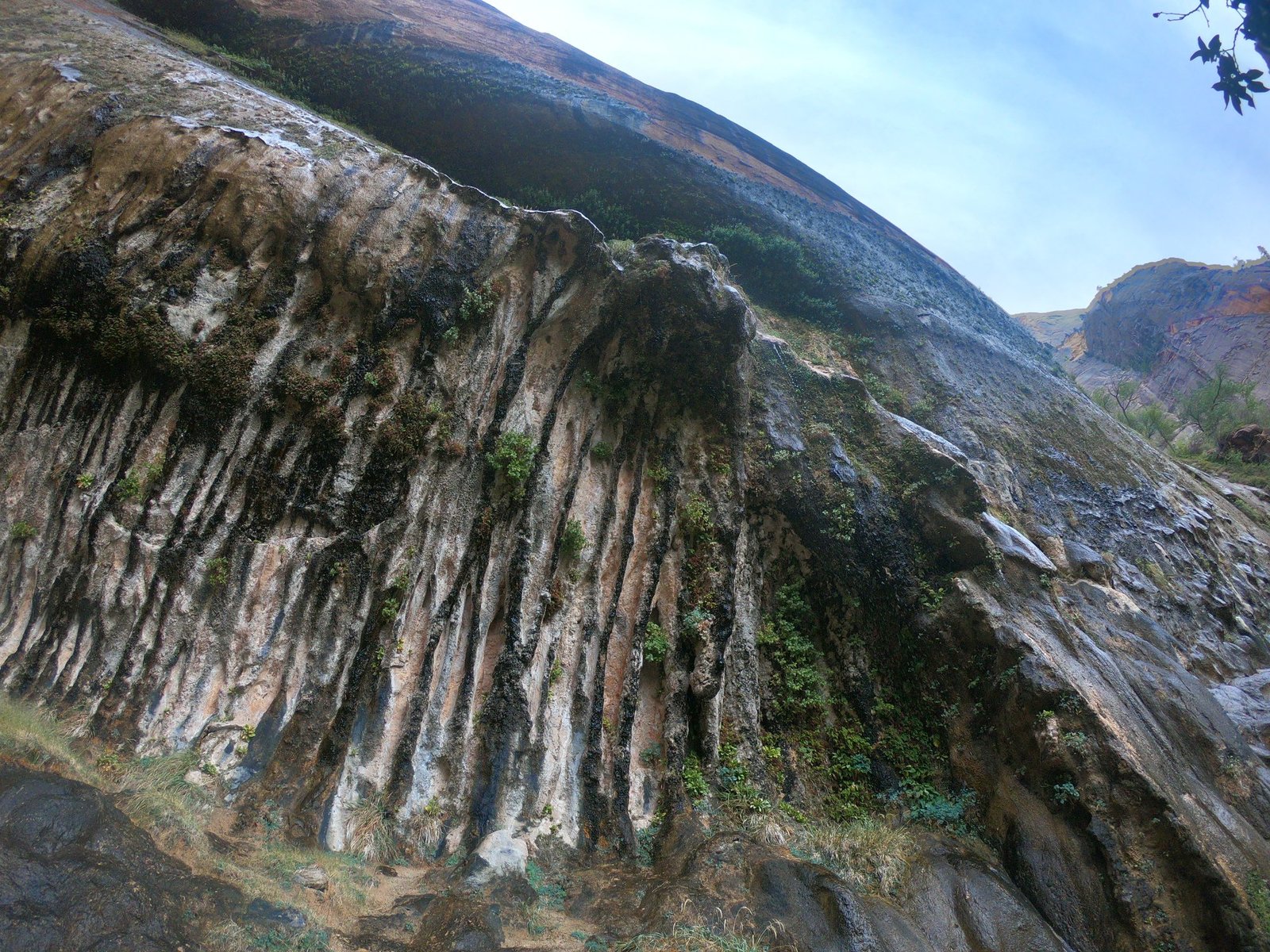
After getting back we also walked to Weeping Rock – a “weeping rock” down which water trickles, with green hanging gardens growing on the wall – and along the Virgin River.
Other popular trails
- The Narrows – a trail through a slot in the canyon, following the bed of the Virgin River; you walk in the water, so you need clothes you don’t mind getting wet (shoes and poles can be rented in Springdale). Before setting off, check the water level and the risk of flash floods.
- Riverside Walk – an easy, flat walk along the river to the point where The Narrows begins.
- Emerald Pools – a short trail to small pools and waterfalls, good for a family walk.
Practical information
Getting there and getting around the park
From Las Vegas to Springdale (the southern entrance to the park) it’s about 260 km – with a stop at the Hoover Dam, we drove about 340 km. For most of the year only the free park shuttles from the visitor centre run on the main road through the canyon (Zion Canyon Scenic Drive) – they take you to the trailheads for Angels Landing and Weeping Rock. The car park at the visitor centre fills up in the morning, so it’s worth getting there early.
Cost
In 2018 entry by car cost 35 USD (a 7-day ticket for everyone in the car); it’s also covered by the annual America the Beautiful pass. From 2026 visitors from outside the USA pay an extra 100 USD per person in Zion or buy the annual non-resident pass for 250 USD. You can check current prices and the Angels Landing lottery rules on nps.gov/zion.
From Zion we drove on through Death Valley towards Yosemite – it was about 860 km to Lee Vining.
Photo gallery