A short introduction

That day, apart from walking the Caminito del Rey (post here), we also got to visit the Torcal de Antequera nature reserve. It’s known above all for its wonderful landscape shaped by karst processes in limestone rock. The steep drive up the mountain alone gave us great views. The area is on the UNESCO World Heritage List.
Origins – the history of the mountains

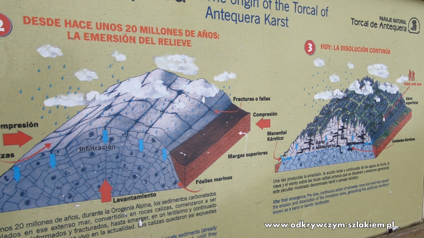
- The rocks you can see in the Torcal de Antequera nature reserve are limestone. They formed from shells and skeletons of marine animals deposited layer upon layer on the floor of a vast sea that covered this area about 200 million years ago (in the Jurassic period).
- About 20 million years ago, during the Alpine orogeny, the carbonate sediments (already turned into limestone) were compressed, deformed and fractured until they emerged in a slow, continuous process that is still going on today. Since then the limestone has been exposed to weathering and erosion.
- The slow, constant action of rainwater, snow and wind eroded and broke down the limestone, creating this peculiarly shaped terrain known as a karst landscape.
Parking & visitor centre
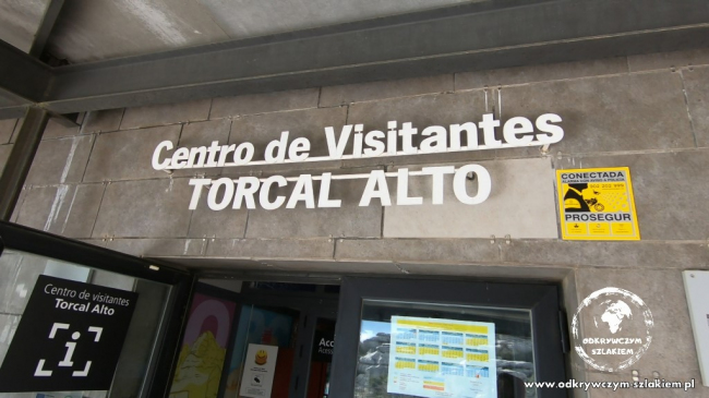
In the southern part of the reserve there is a visitor centre (Centro de Visitantes El Torcal Alto), where you can eat, use the toilet, get information or buy souvenirs. Next to it there is a free car park. Several walking trails start here, including the most popular ones – the green and the yellow.
Mirador Las Ventillas viewpoint
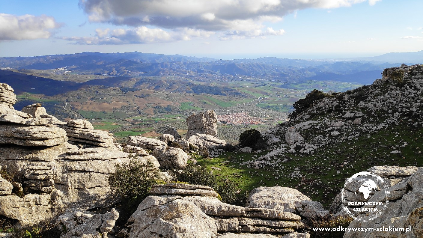
About 150 metres south of the visitor centre is the Mirador Las Ventillas viewpoint, from which (in good visibility) you can see Málaga in the distance, 30 km away as the crow flies, as well as the snow-capped peaks of the Sierra Nevada mountain range.
The walking route

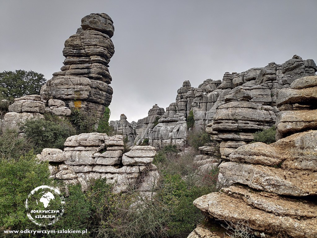
We had very nice weather, but walking around at over 1200 m above sea level, we were surrounded by clouds most of the time, and it felt chilly. Fortunately, even in January (when we visited) there’s quite a lot of green there.

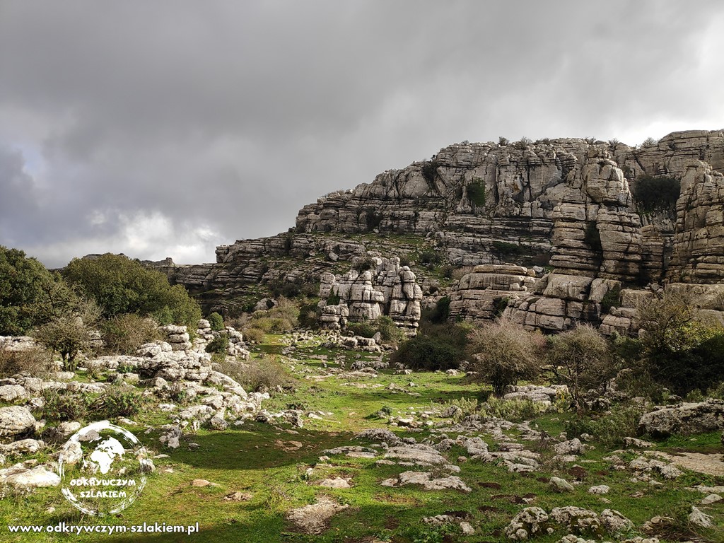
Our plan was to do an approximately 3 km loop combining two trails – the green one, from which we switched to the yellow one (an extension of the green) – see the map below. Even though it isn’t very long, the walk took us two hours including breaks. That was because of the conditions on the second trail – there was lots of mud, and the paths were narrow, sometimes steep and slippery in places (it had rained over the previous few days).
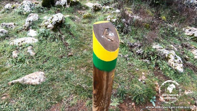
It’s worth starting the trail from the north side, because (as it later turned out) it has a set direction (marked on wooden posts), so that the walk goes smoothly and you don’t have to wait for people coming the other way (it was narrow in places). Unfortunately we only realised this when it no longer made sense to turn back (we weren’t the only ones to make this mistake). We hadn’t noticed it before.