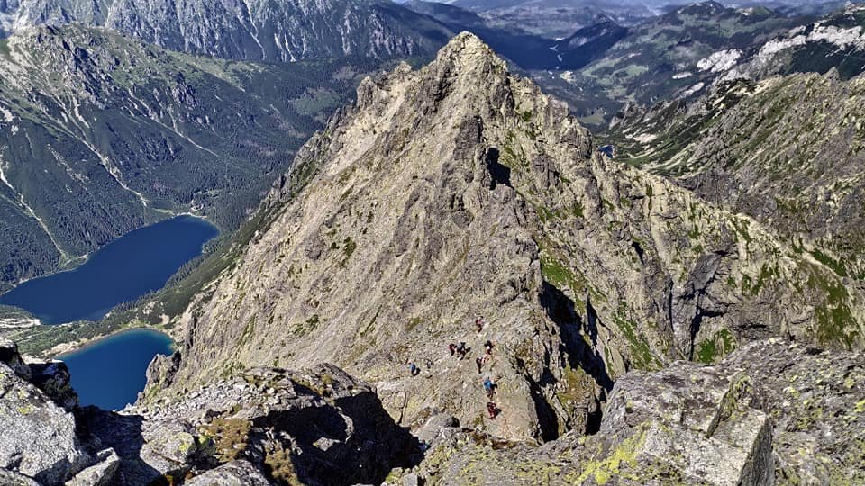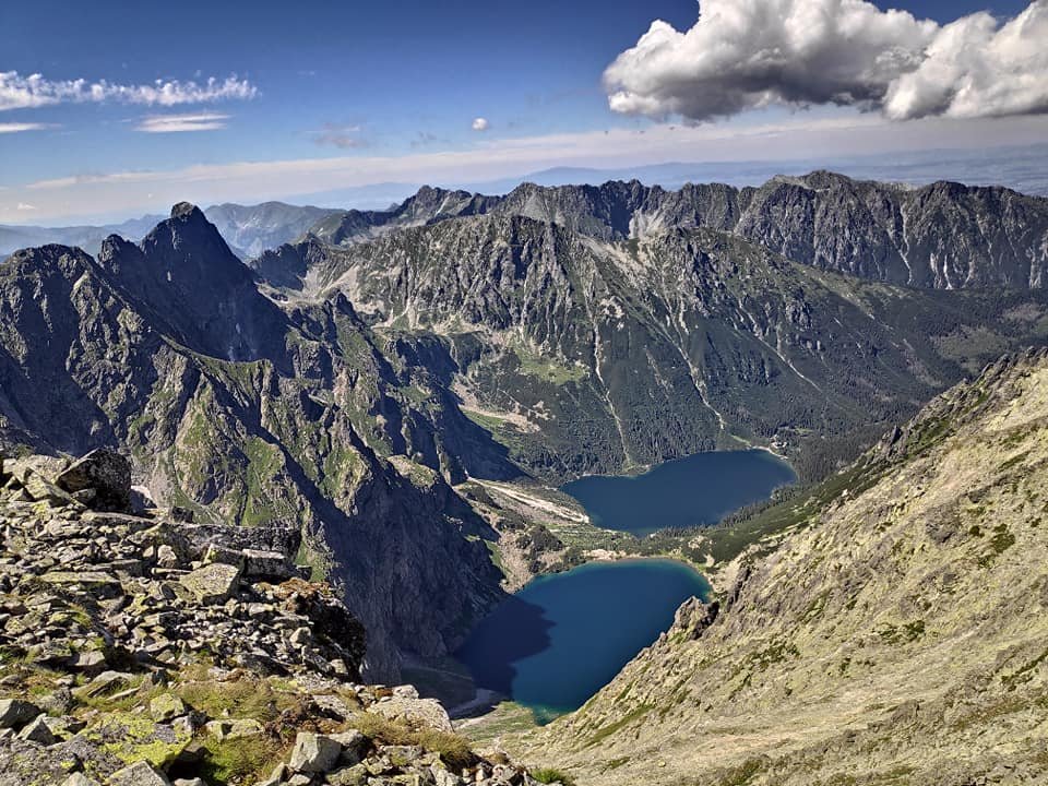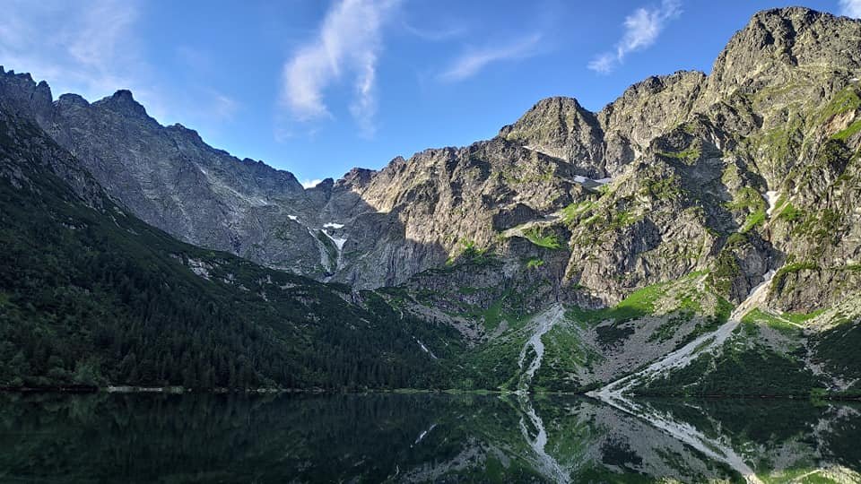
On 28 July 2020 we climbed Rysy (2499 m above sea level) – the highest peak in Poland. We chose the classic route from the Polish side: from Palenica Białczańska along the asphalt road to Morskie Oko, then up to Czarny Staw pod Rysami and along the red trail with chains to the summit. It was the fourth day of our week in the Tatra Mountains and the main goal of the whole trip. Below is an account with exact times, a description of the chains and our tips.
Table of contents
- From Palenica Białczańska to Morskie Oko
- Up to Czarny Staw pod Rysami
- The chains and the queue to the summit
- On the summit – the Polish and Slovak Rysy
- The descent and the Crown of Polish Mountains stamp
- Is it a difficult trail? Our tips
From Palenica Białczańska to Morskie Oko
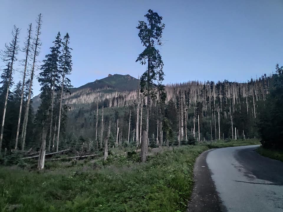
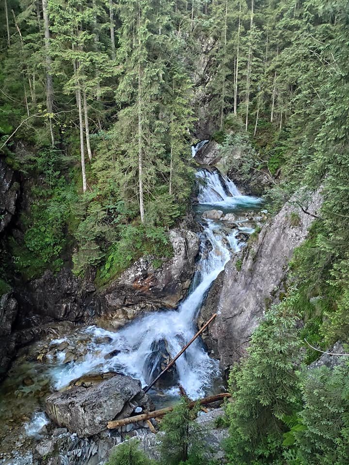
We left Zakopane for Palenica Białczańska at 4 in the morning and set off on the trail at about 4:40. The first stage is a very easy asphalt road to Morskie Oko – along the way we cut corners on rocky shortcuts. We passed, among other things, the Mickiewicz Waterfalls (Wodogrzmoty Mickiewicza).
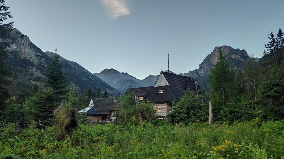
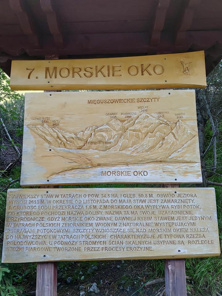
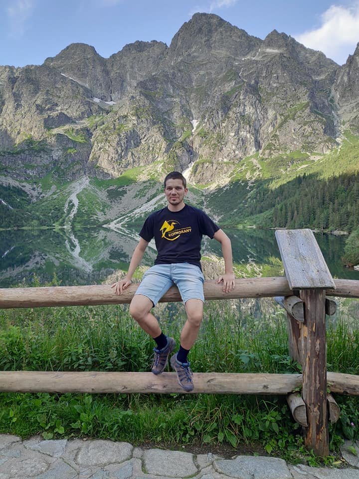
We reached the mountain hut at Morskie Oko at 6:30 – half an hour ahead of schedule. It was my first time there.
Up to Czarny Staw pod Rysami
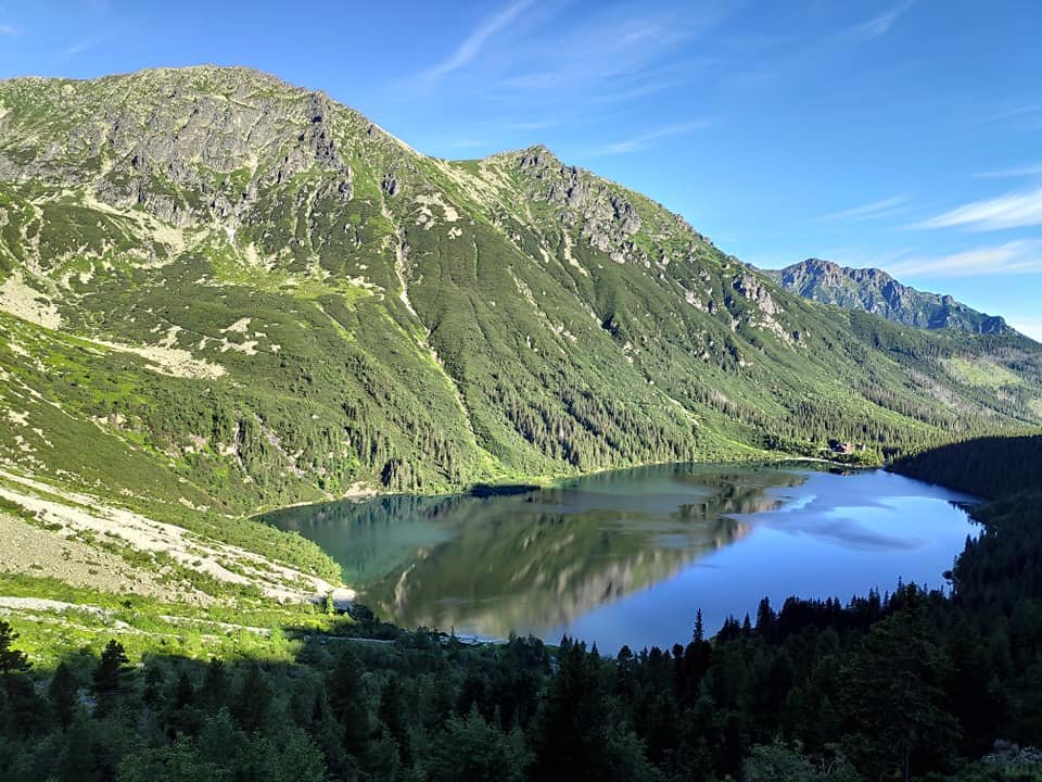
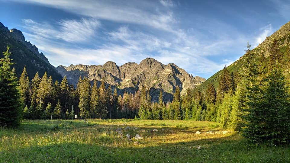
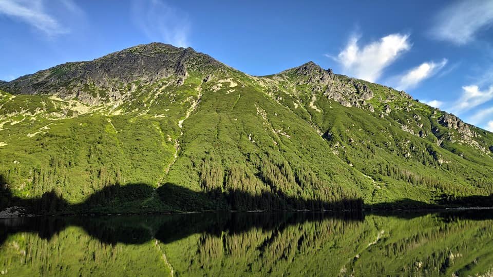
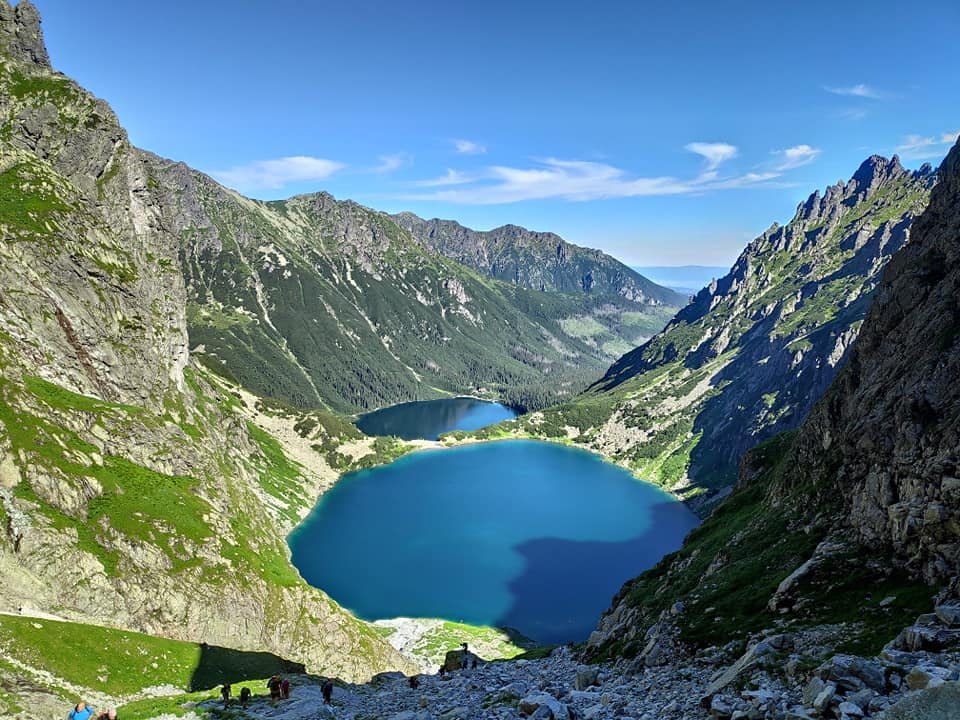
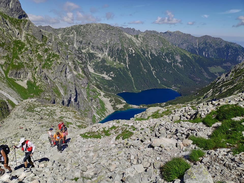
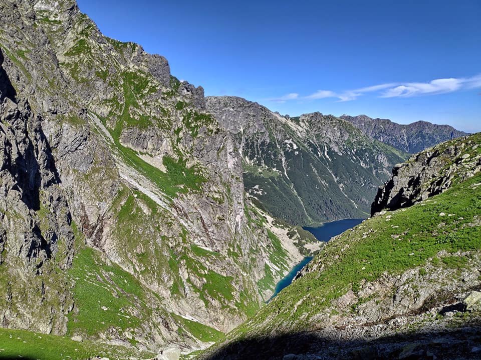
We set off towards Czarny Staw pod Rysami (the Black Lake below Rysy, 1583 m above sea level) at 7:15. The path climbs above Morskie Oko, past the cascades of the stream flowing down from Czarny Staw – and there’s something to look at with every step.
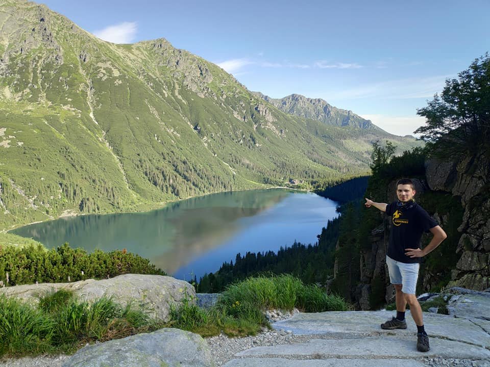
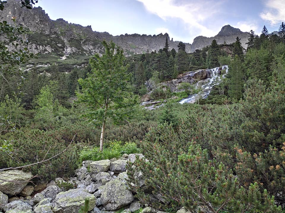
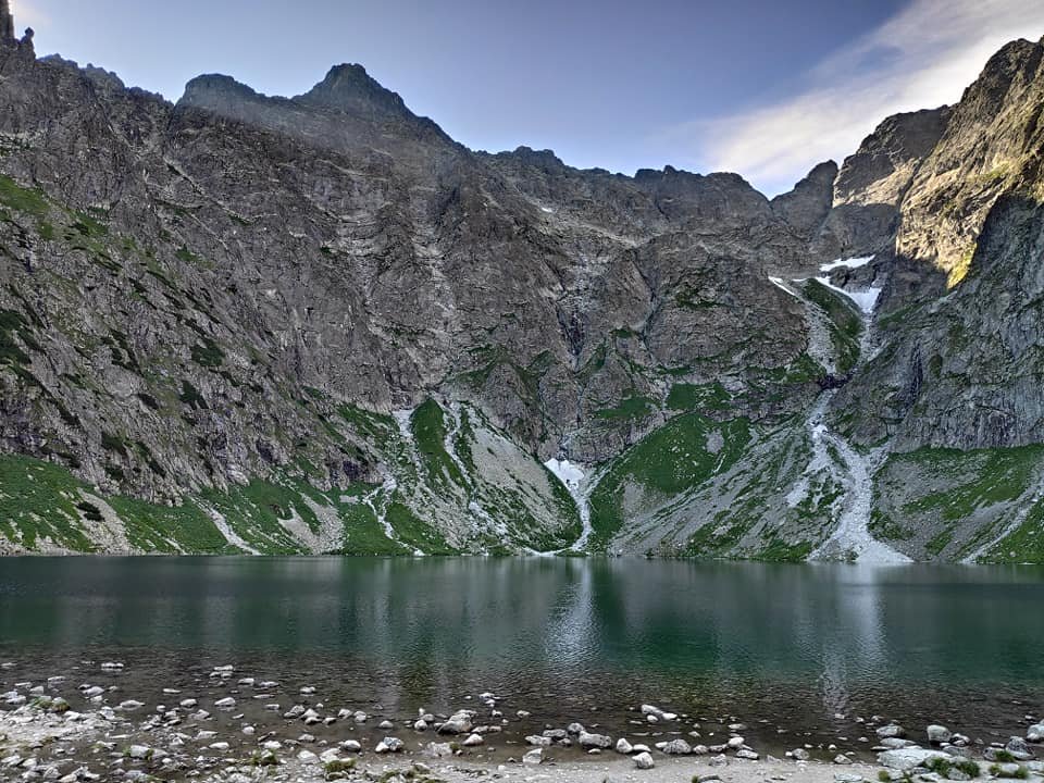
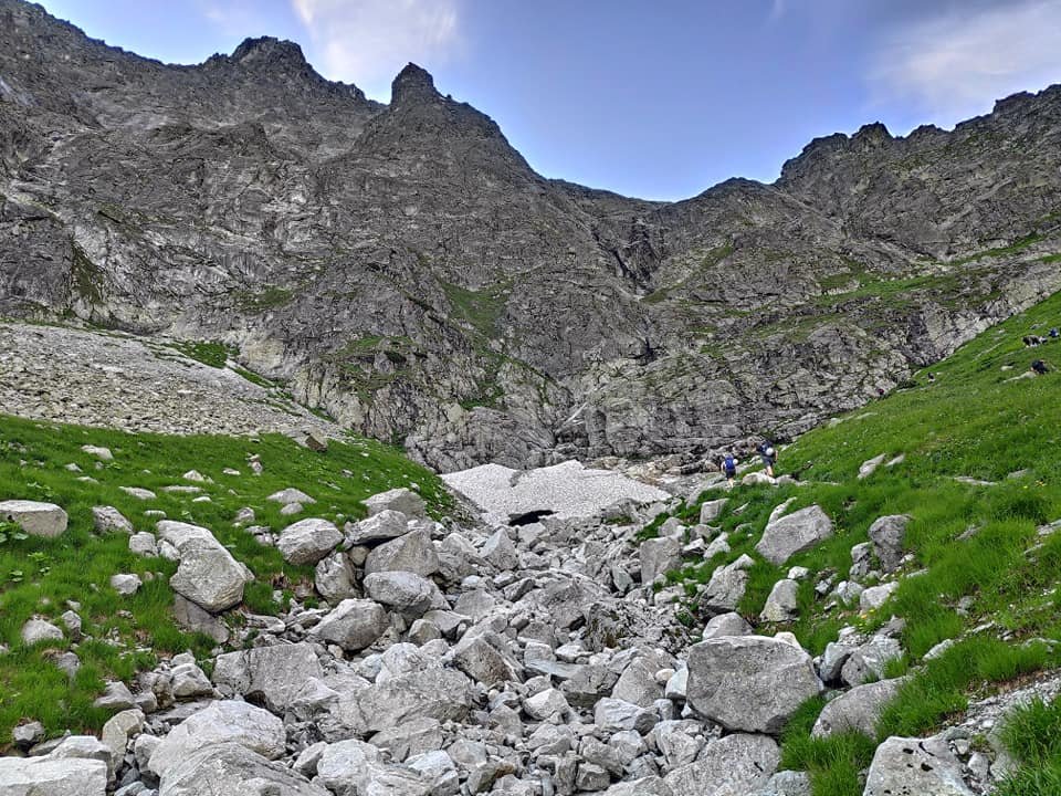
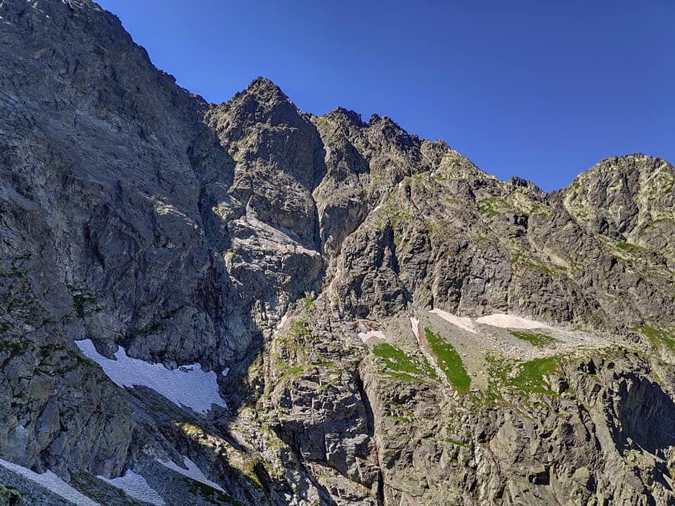
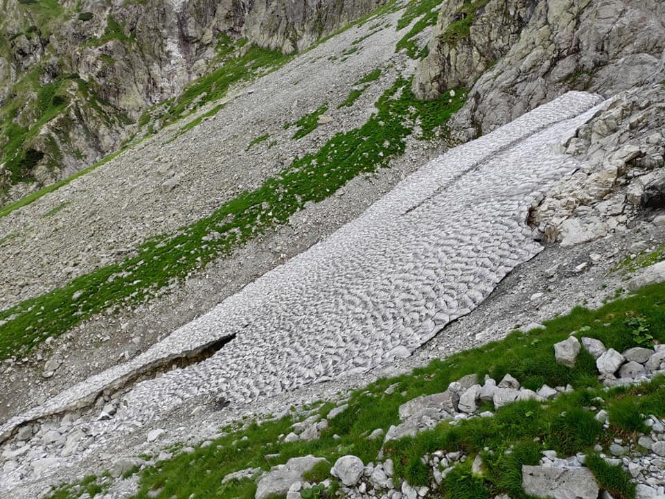
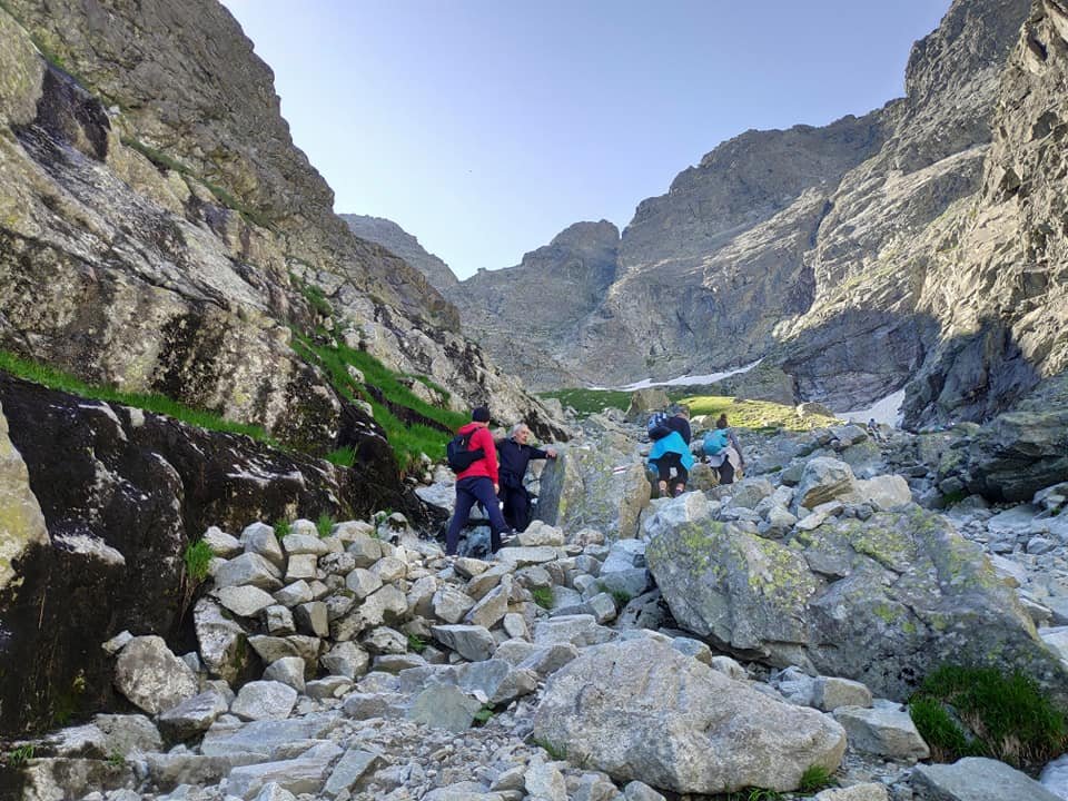
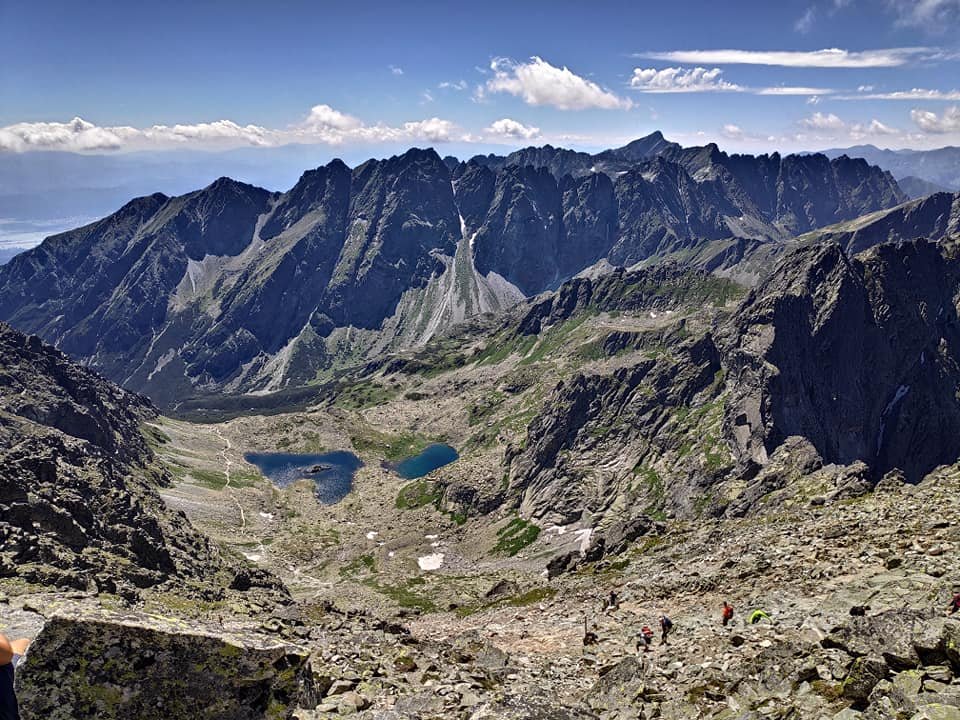
Above Czarny Staw the trail gets rockier and steeper. At one point we crossed a short patch of snow – our first this year, in the middle of July! The views of both lakes below were magnificent.
The chains and the queue to the summit
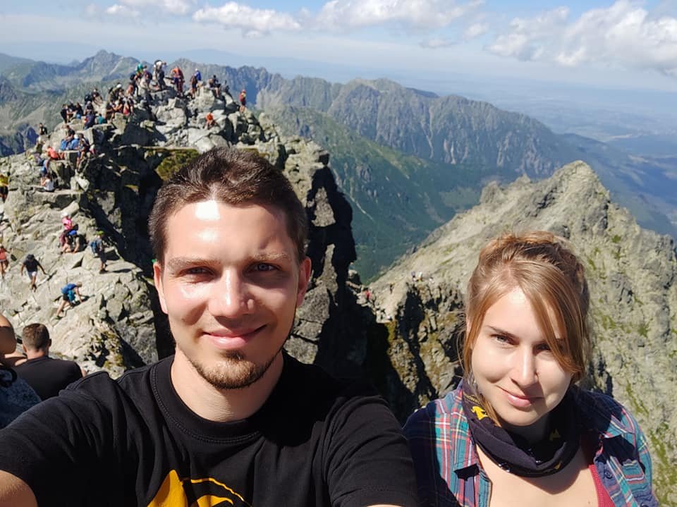
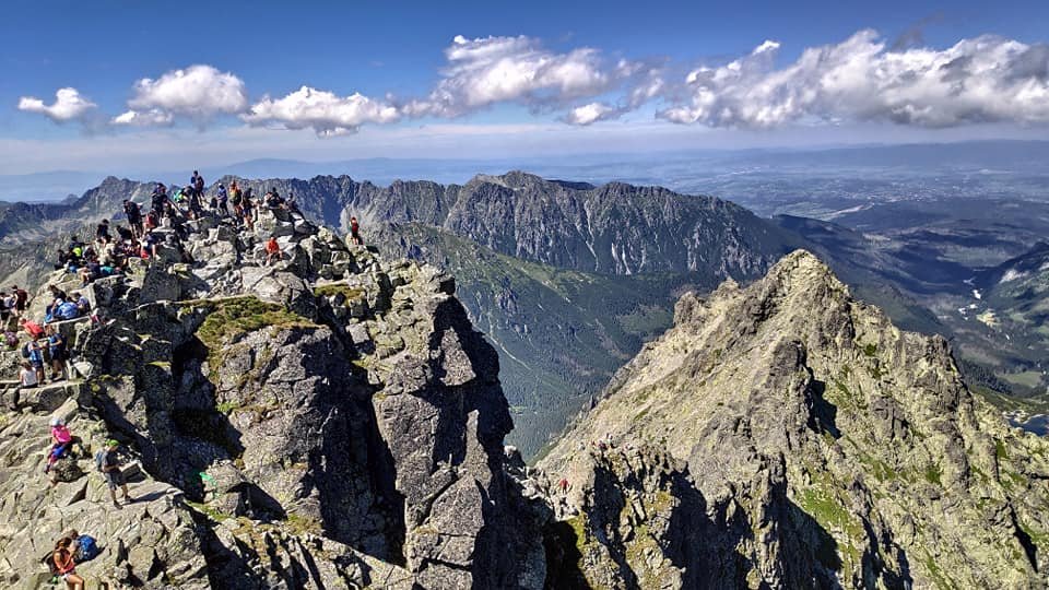
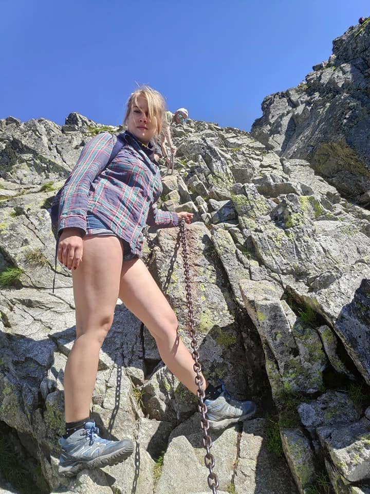
We were making very good progress – until the chains appeared on the last stretch of the climb. You had to be careful and, above all, let lots of people pass, because in practice there was one-way traffic (unlike on Giewont): some go up while others wait, then the other way round. A lot of time went on waiting alone, and quite a few people got annoyed with hikers coming from the opposite direction.
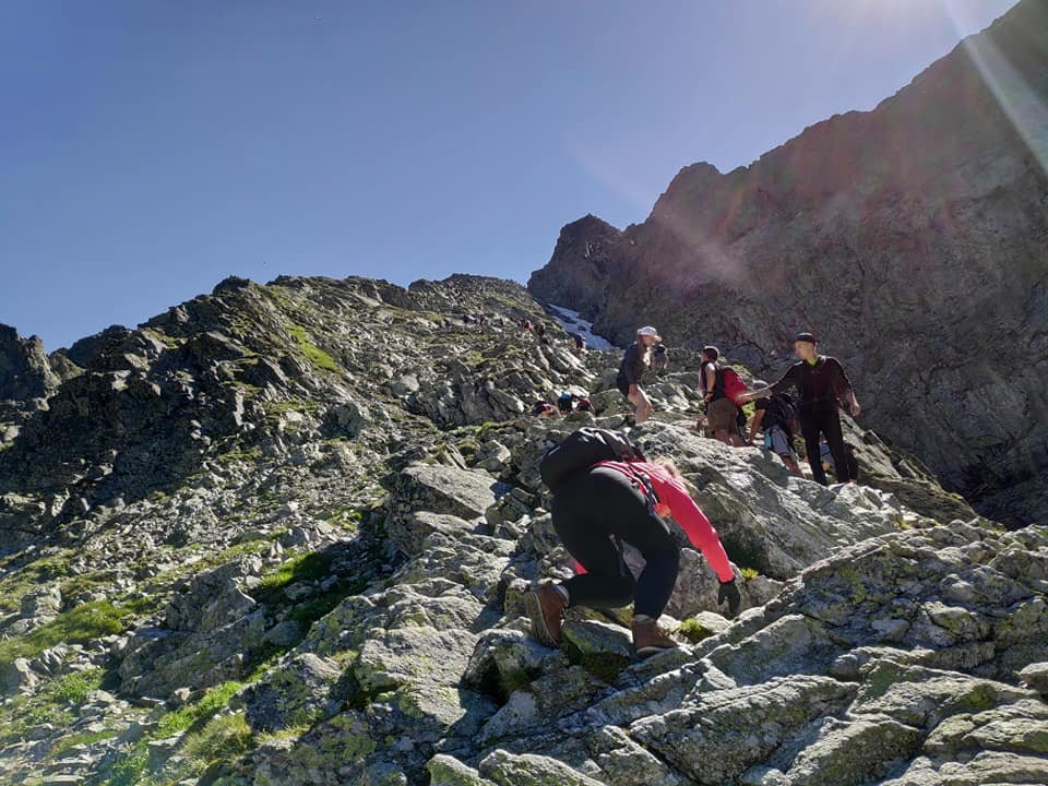
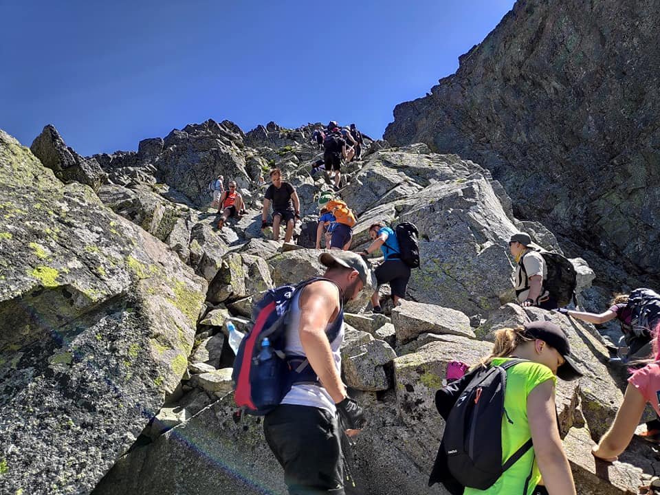
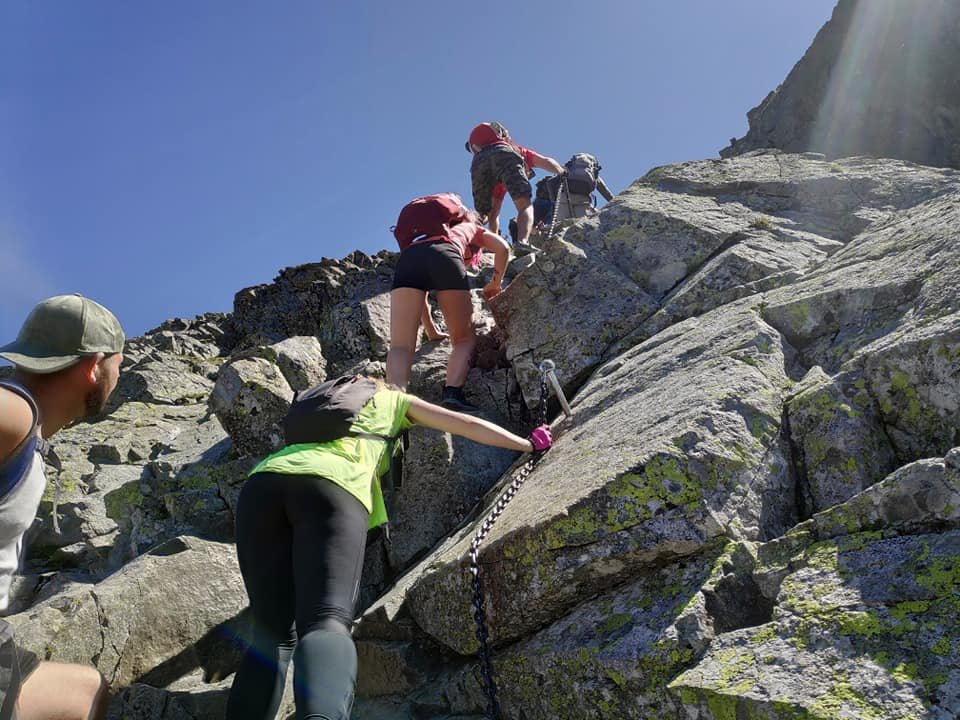
I had expected a much shorter section with chains and a slightly less steep climb – but overall the route didn’t give me any trouble.
On the summit – the Polish and Slovak Rysy
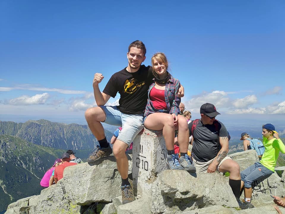
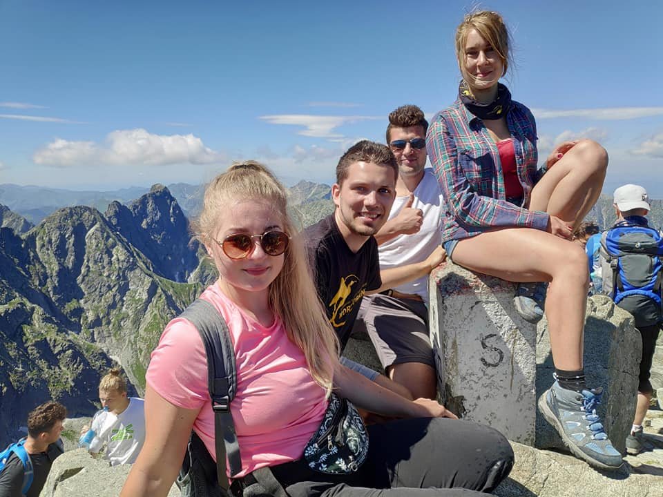
Because of the queues on the chains, we only reached the summit between 1 and 2 p.m. (we had planned to be there around noon). Rysy lies on the Polish–Slovak border – the Polish summit is 2499 m, and next to it is the Slovak one, just 4 metres higher (2503 m above sea level). Of course we went over to that one too.
The descent and the Crown of Polish Mountains stamp
On the way down there were far fewer people on the trail. Many of them chose to descend on the Slovak side, which is easier (there are no chains). Towards evening we got back down to the hut at Morskie Oko, where we drank a victory beer.
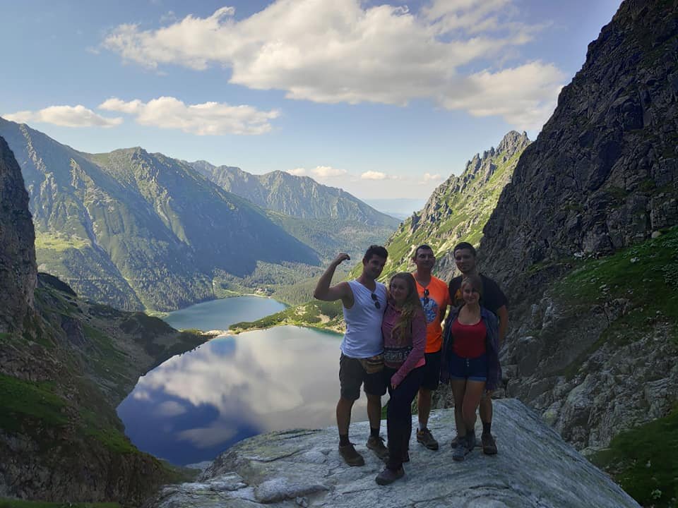
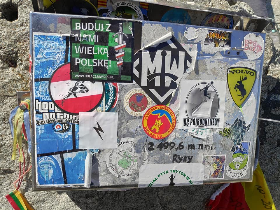
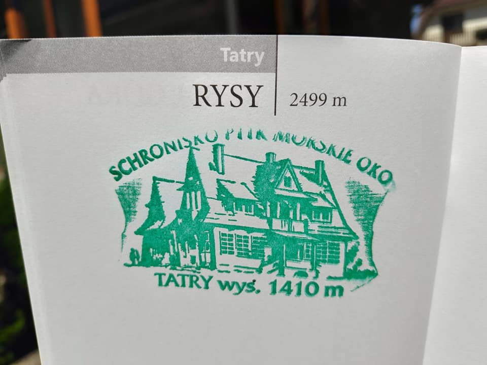
That day, together with Patrycja and Karol, I started collecting the Crown of Polish Mountains – 28 peaks, the highest in each of Poland’s mountain ranges (Rysy is the highest peak of the Polish Tatras) – so we got our first stamp at the hut. We went back to Zakopane by private taxi, and lightning was already flashing in the distance. Tired but happy – and we had thought it would be harder!
Is it a difficult trail? Our tips
The trail is fairly demanding, but doable for people of different ages and with different mountain experience. We passed very young people and elderly ones, and some of our group were only just starting out in the mountains – and everyone made it. Using common sense, we didn’t feel in danger, and my fear of heights fades a little more with every mountain trip.
- Set off very early – we started at 4:40. The later you go, the longer the queues on the chains, and in summer storms often roll in during the afternoon (on the way back we could already see lightning).
- Allow plenty of time – the walking itself went smoothly, but waiting on the chains pushed back our arrival at the summit by 1–2 hours. From Palenica Białczańska (about 984 m) to the summit there is about 1500 m of elevation gain.
- On the chains – be careful and patient and let others pass; on narrow sections traffic alternates.
- Snow even in summer – in July there were still patches of snow on the trail, and in early summer there may be much more.
- The descent – on the Slovak side the trail is easier and has no chains, but it leads to a completely different place than Palenica – you need to have your return planned.
- Getting there and fees – you can get to Palenica Białczańska from Zakopane by minibus or taxi; the car park by the trail fills up quickly in season (in recent years it has to be booked). Entry to Tatra National Park is charged – current rules and prices at tpn.pl.
More about the whole week in the Tatras – Giewont, Kasprowy Wierch and Wielki Kopieniec – in a separate post: The Tatra Mountains in a week.
Photo gallery