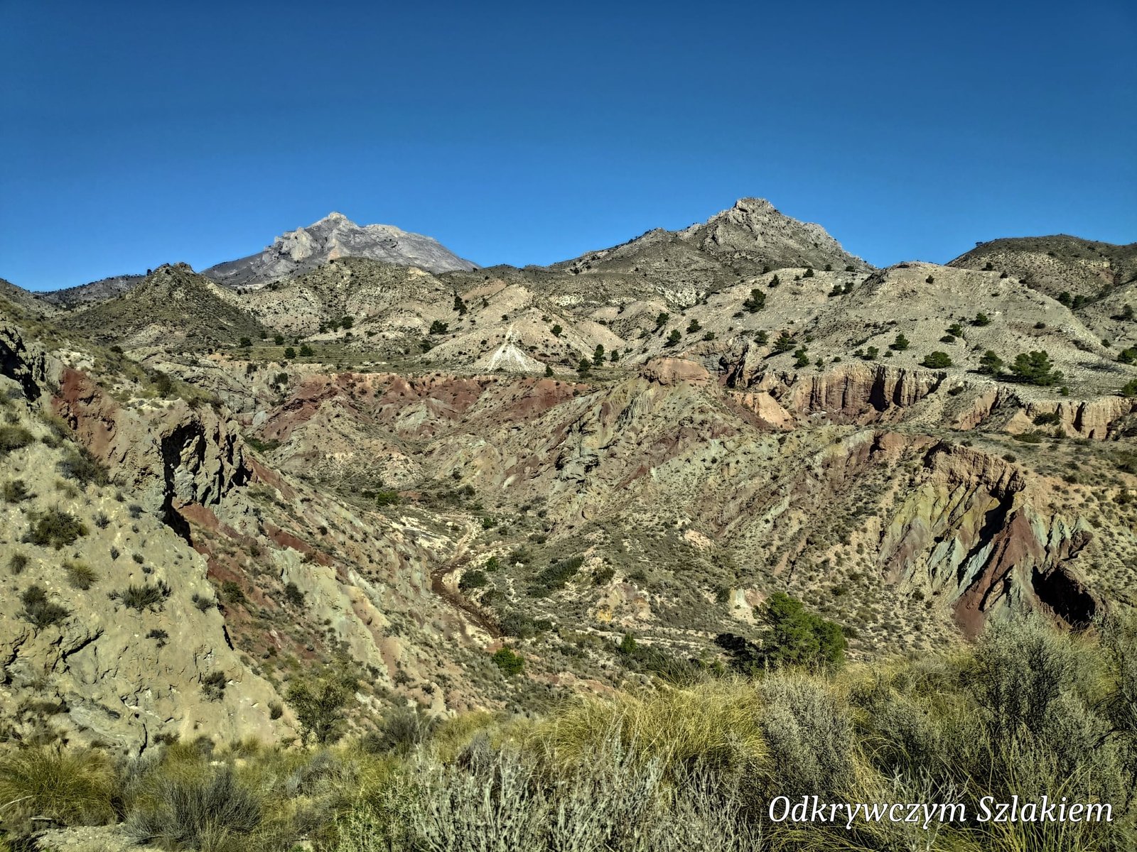
The area around Alicante is mostly associated with beaches and the high-rises of Benidorm, but you only need to drive a few dozen kilometres inland to find yourself among mountains and colourful gorges – barranc in Valencian. In 2022 I hiked three trails here: two in February, while staying with my sister, and one in November, this time with Patrycja. Winter is a very pleasant time for hiking here – in the sun the temperature is in the mid-to-high teens °C.
Table of contents
- Barranc de les Salines – a colourful gorge
- Senda del Barranc dels Tarongers and Bocairent
- Sierra del Cid – with a view of Alicante
- Practical information
Barranc de les Salines – a colourful gorge
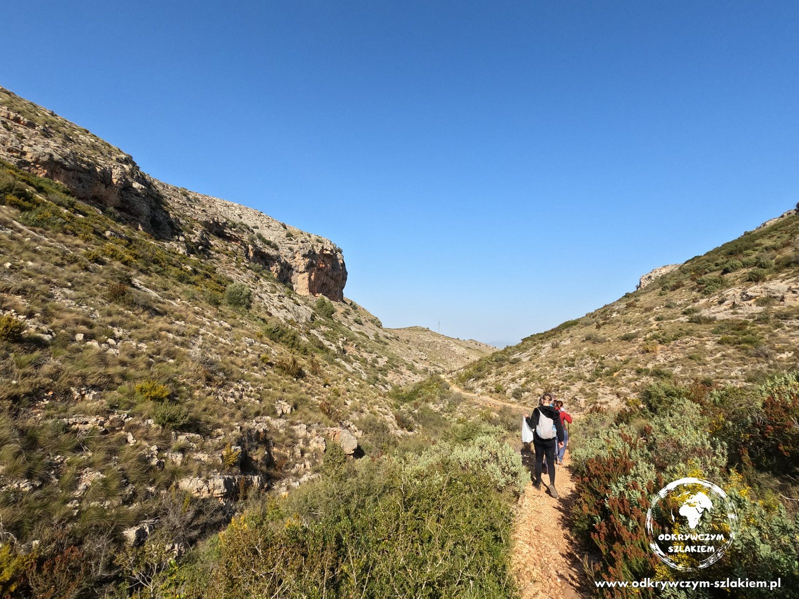
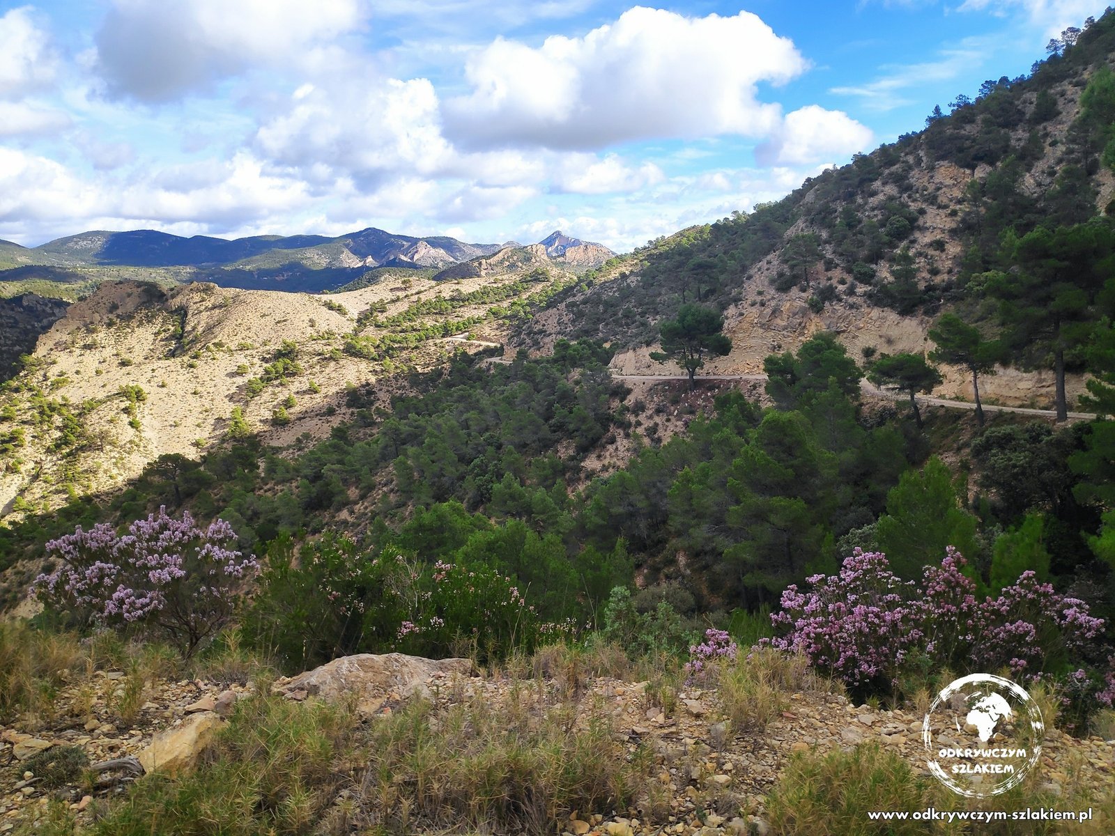
On Monday, 7 February, my sister and I drove to the Barranc de les Salines gorge north of Alicante. The first part of the route followed a paved road, but soon we found ourselves in green terrain among beautiful mountains. What impresses most are the colours of the rocks and soil – from red and rust to greens (they don’t show up as well in the photos as they do in real life).
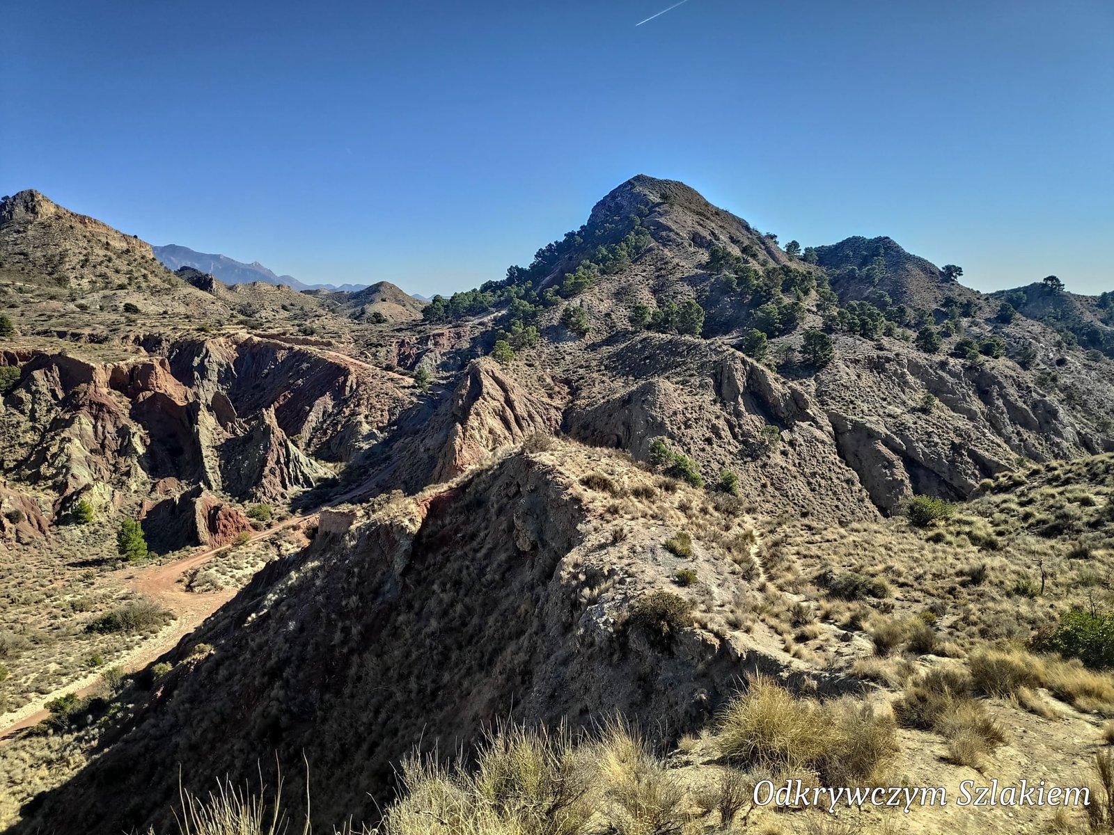
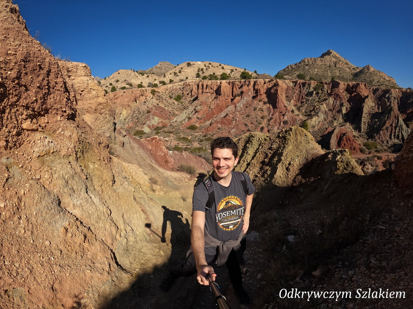
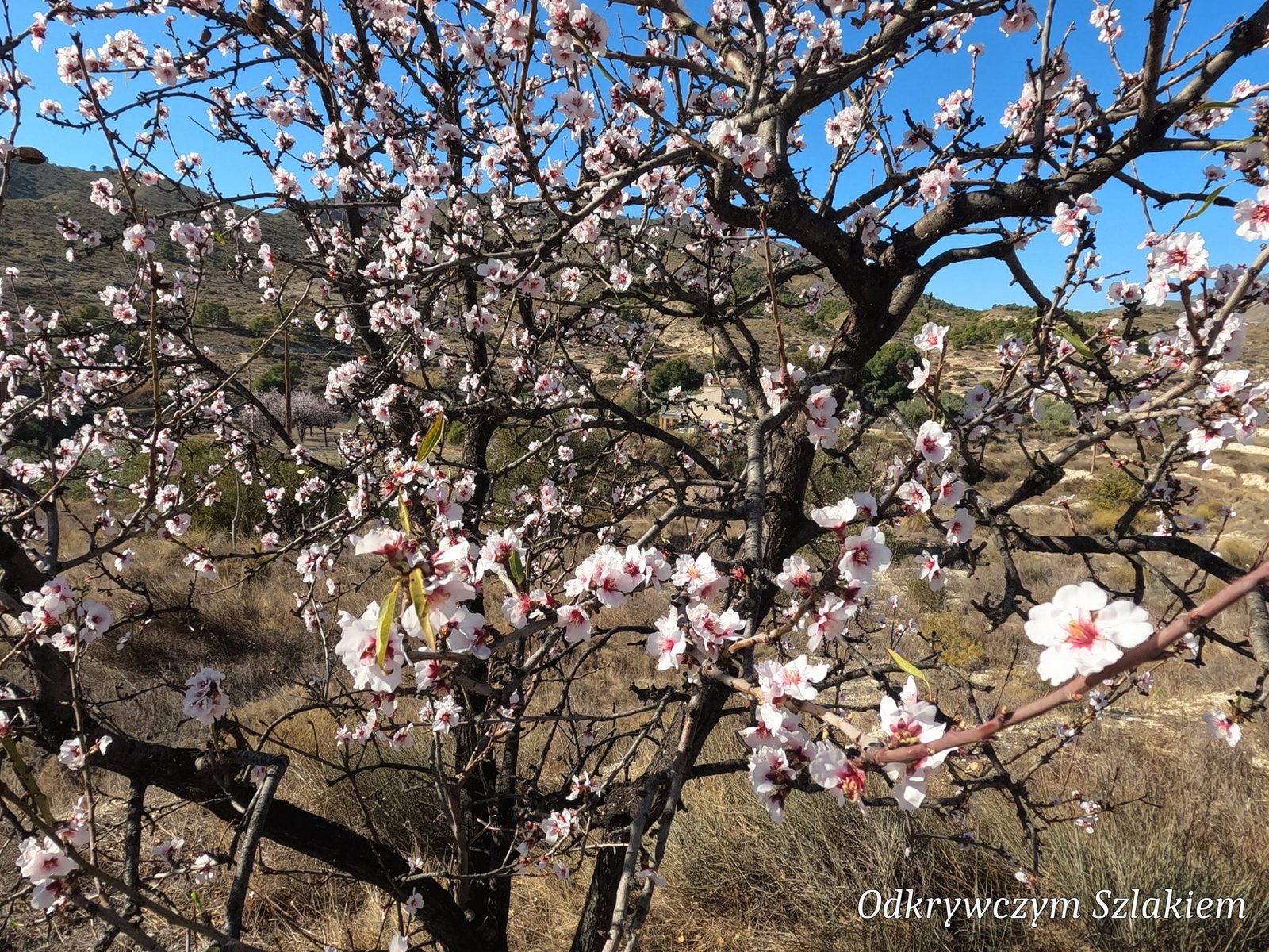
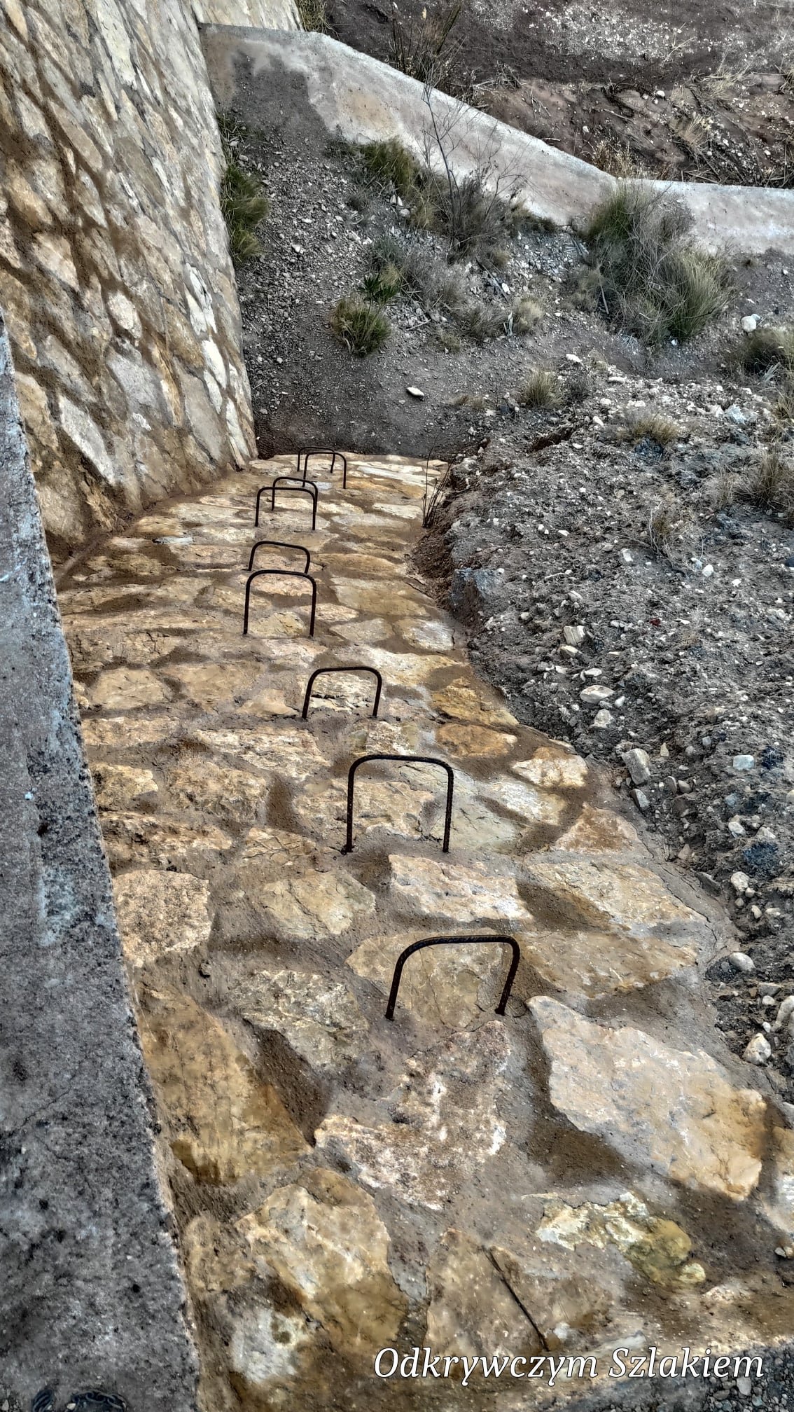
In February the almond trees along the trail were already in bloom. The trail is about 9 km long. On the way we saw far more abandoned houses than locals and hikers put together – maybe because it was not a weekend. At one point the path crosses a dam, and the signposts point, among other places, towards the Pantà de Tibi reservoir.
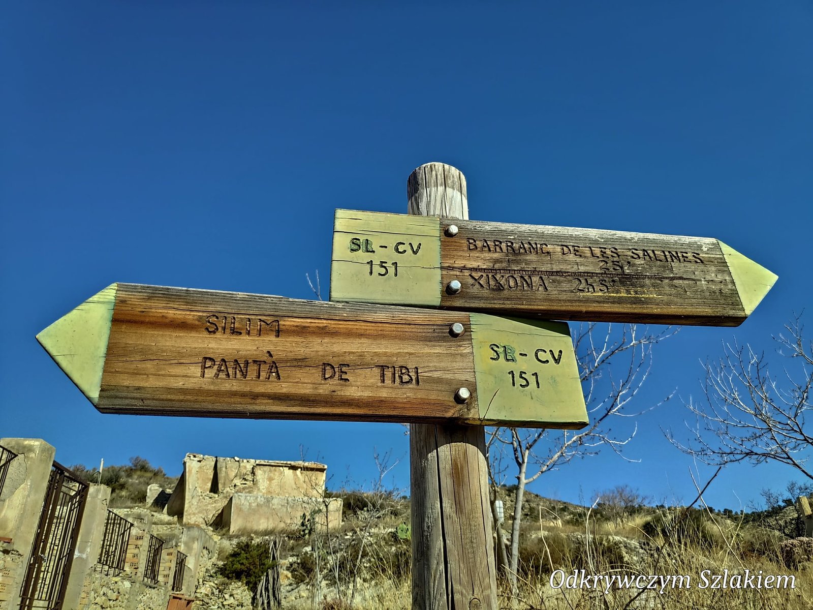
Even though the trail is not long, I immediately rated it as one of the prettiest I had ever hiked. After coming down we also drove to Alicante.
Senda del Barranc dels Tarongers and Bocairent
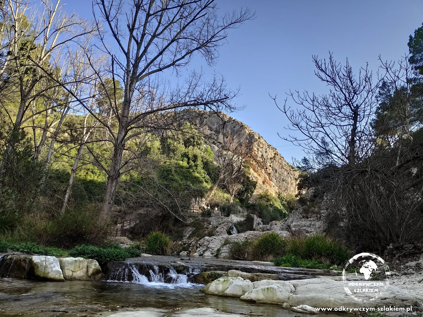
On Sunday, 13 February, my sister and I joined a Spanish hiking group (13 people in total) and set off on an extended version of the Senda del Barranc dels Tarongers trail, further north of Alicante. The route was 13 km long, with its highest point at 711 m above sea level and about 600 m of elevation gain. We started and finished at Pou Clar, where the river flows along the bottom of a rocky gorge.
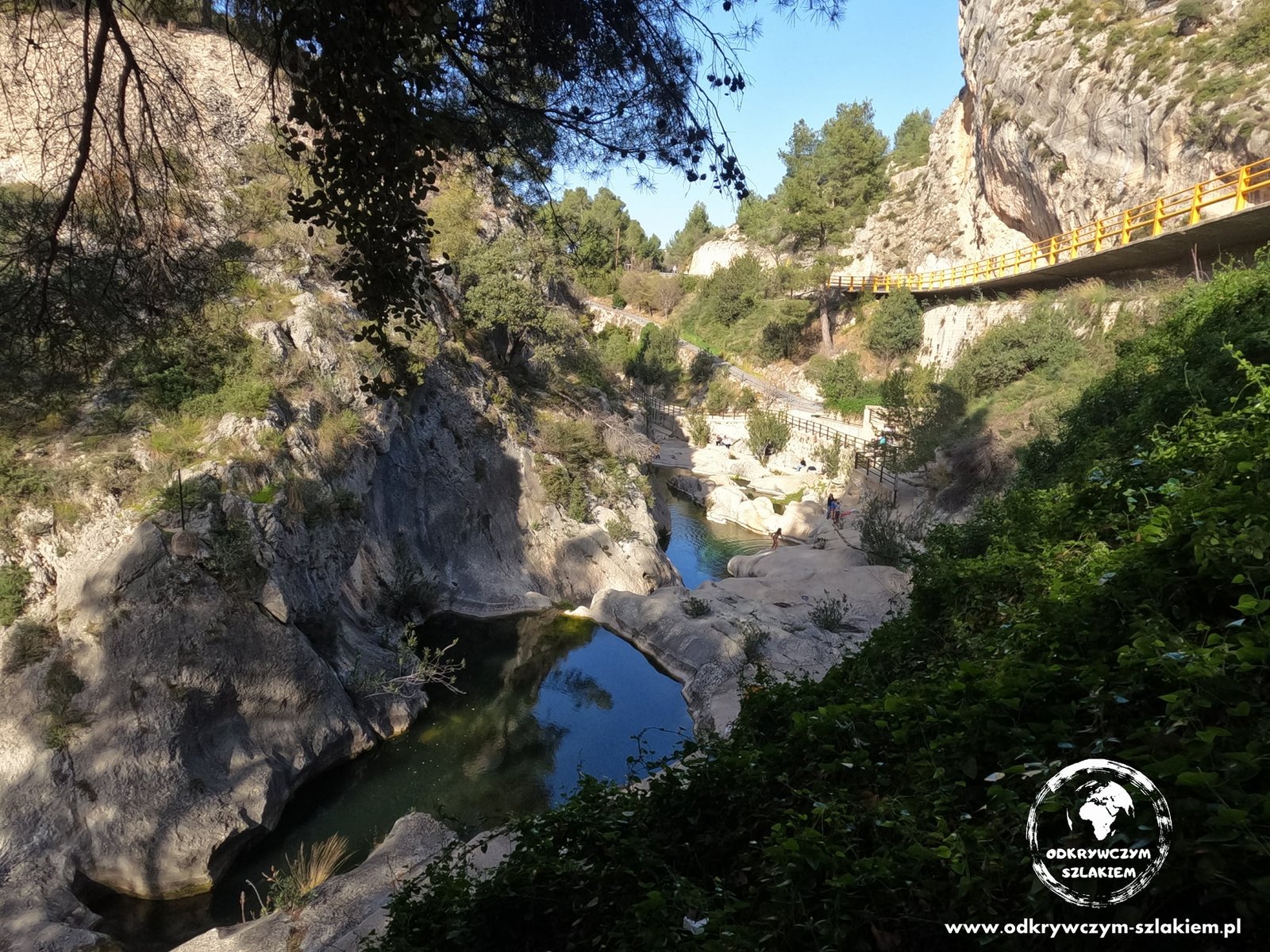
Walking through the gorge, we passed several abandoned buildings – including an old paper mill and a flour mill.
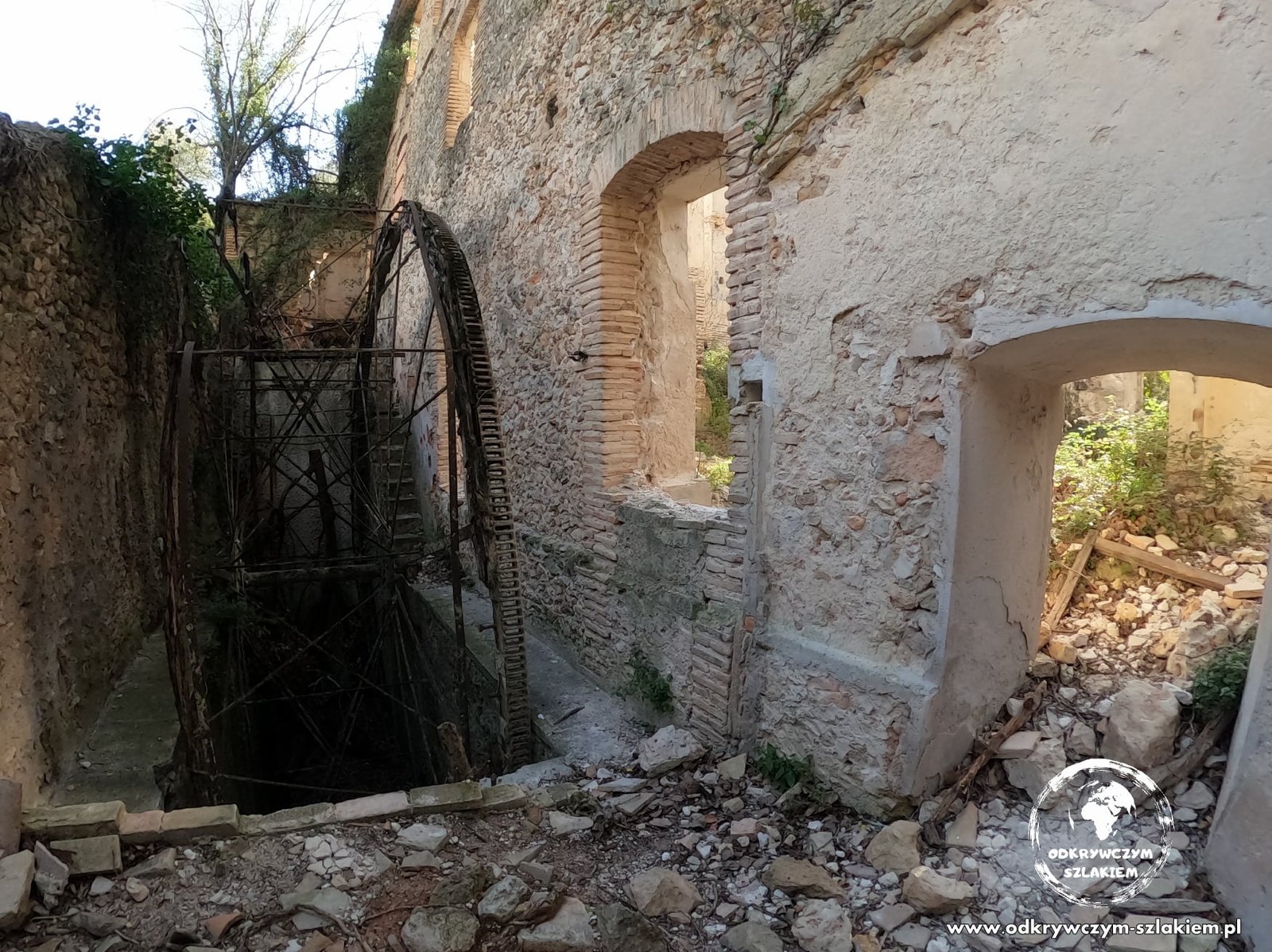
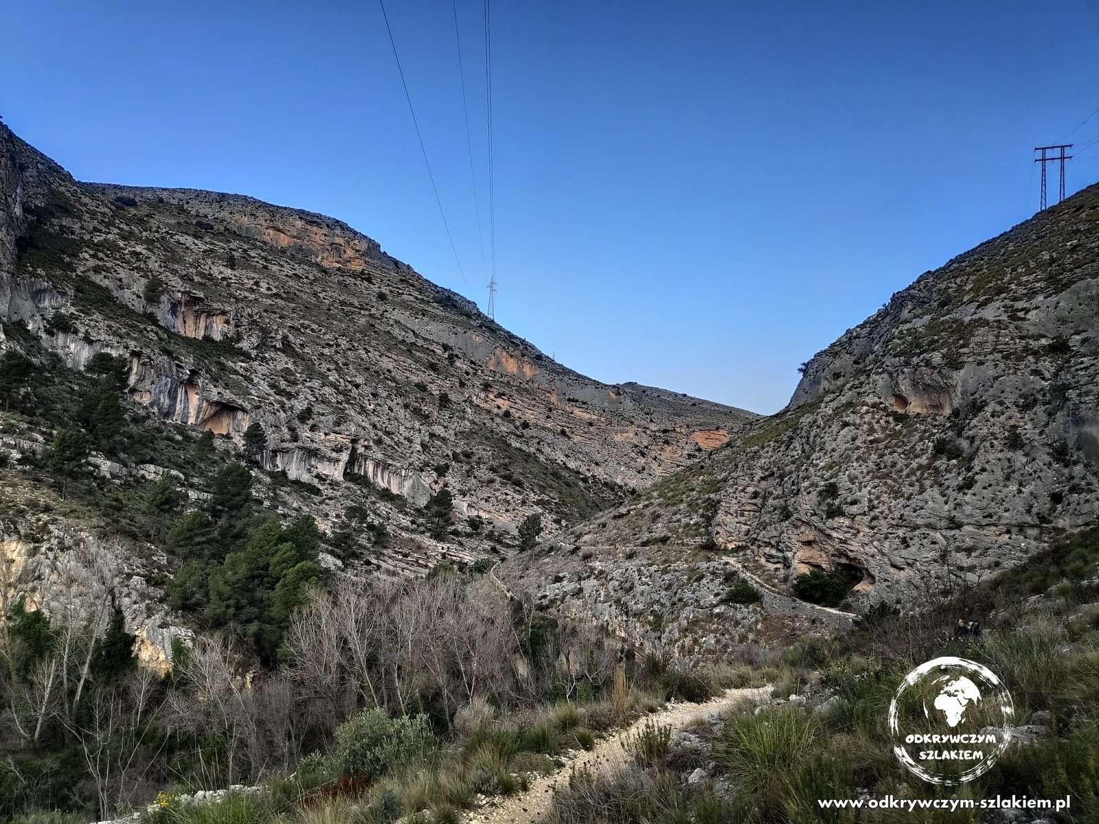
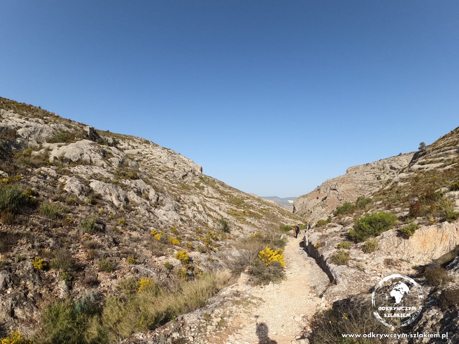
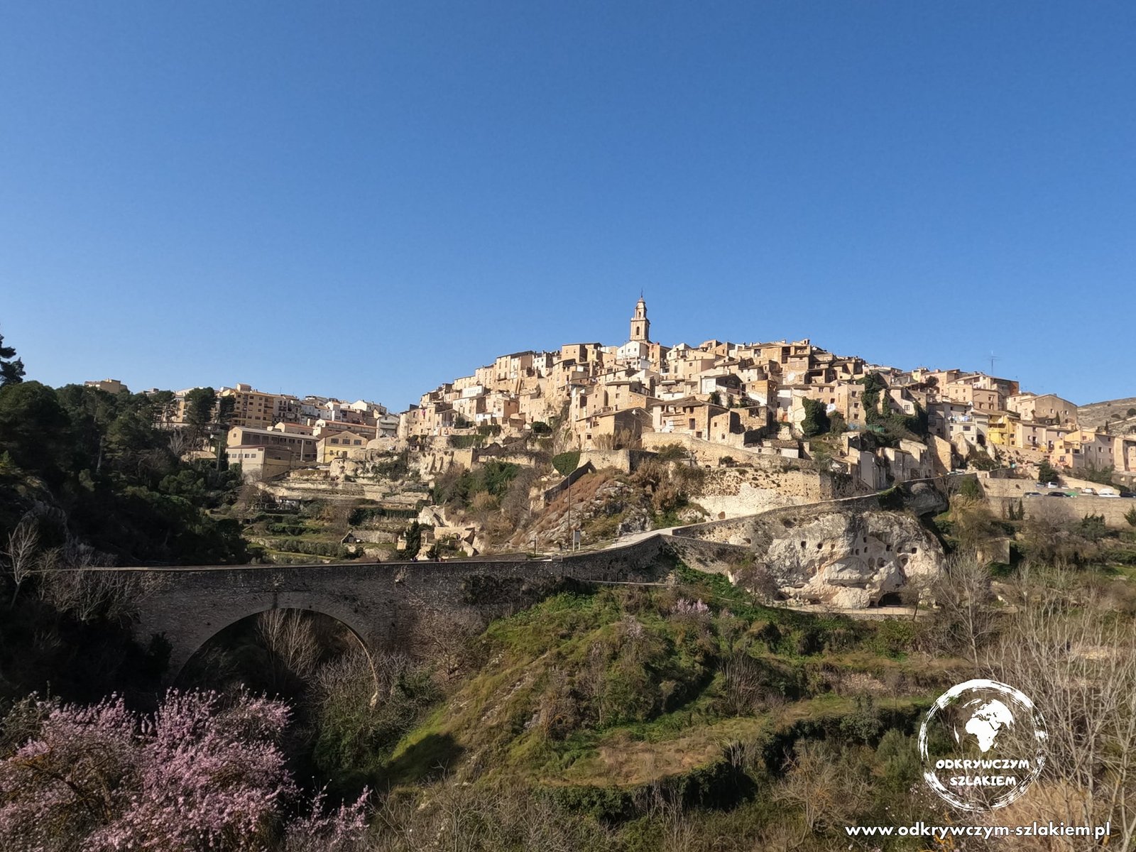
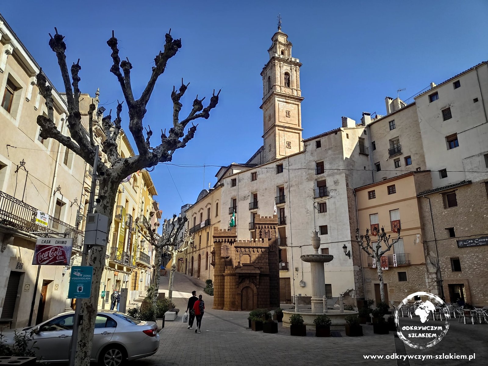
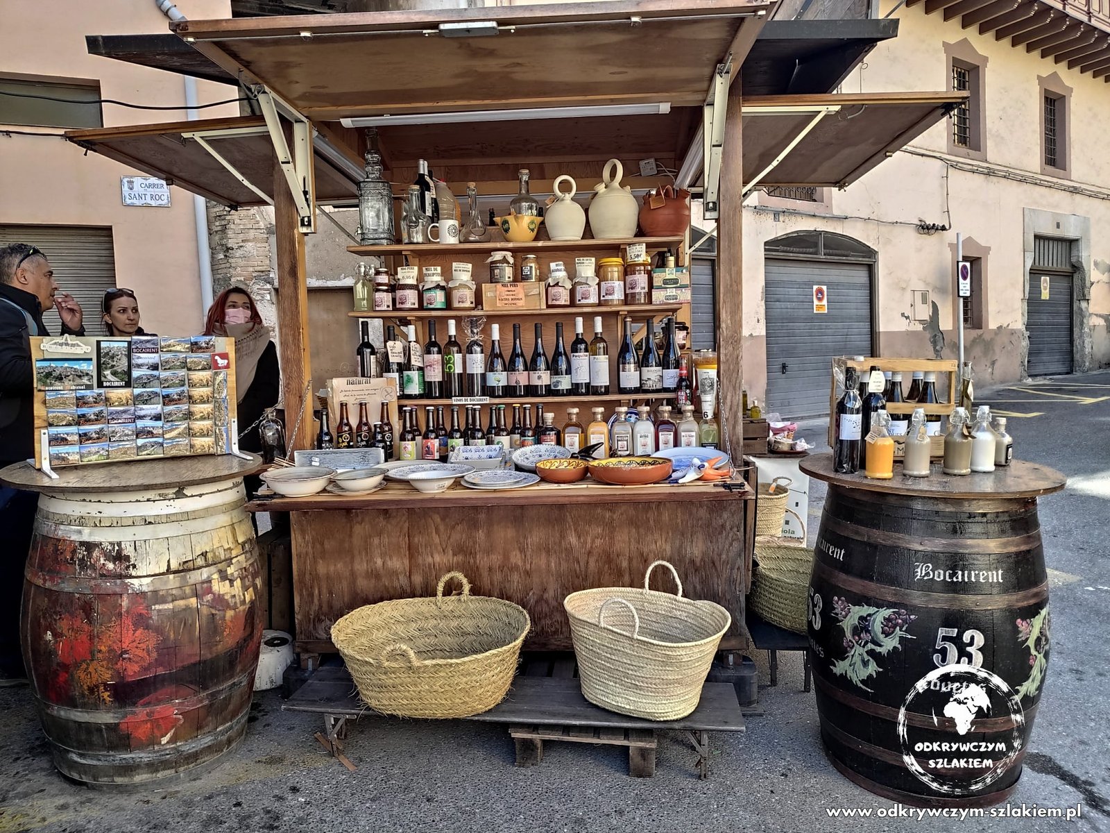
Roughly halfway along the trail we went down to the small town of Bocairent, perched on a hill above the gorge. After walking its steep, narrow streets we stopped in the main square for a beer, and at the market stalls you could taste local liqueurs.
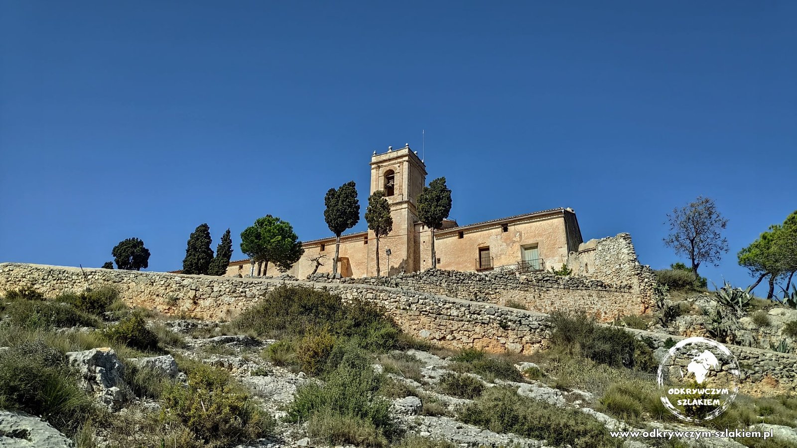
After the break, passing the fourteen Stations of the Cross, we reached the hermitage Ermita del Sant Crist, which had a nice view of the surrounding mountains. From there on we only lost height on the way back to Pou Clar.

Sierra del Cid – with a view of Alicante
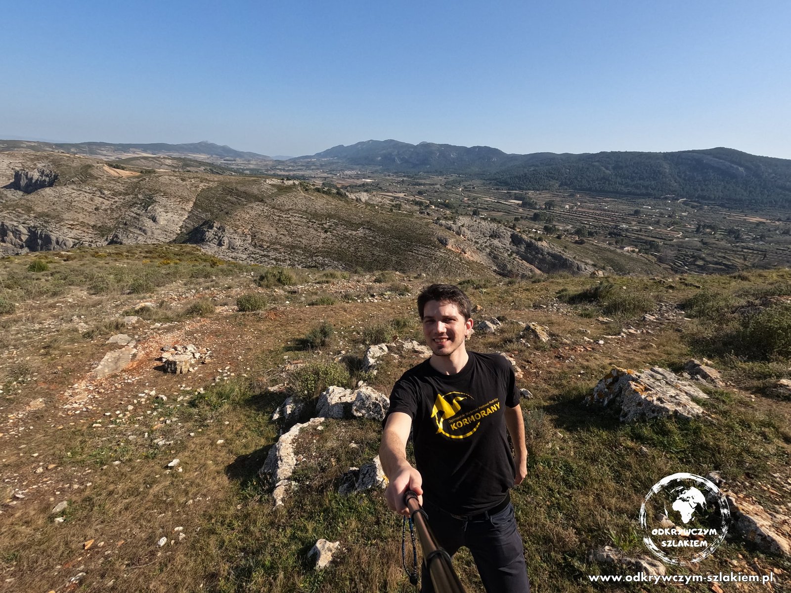
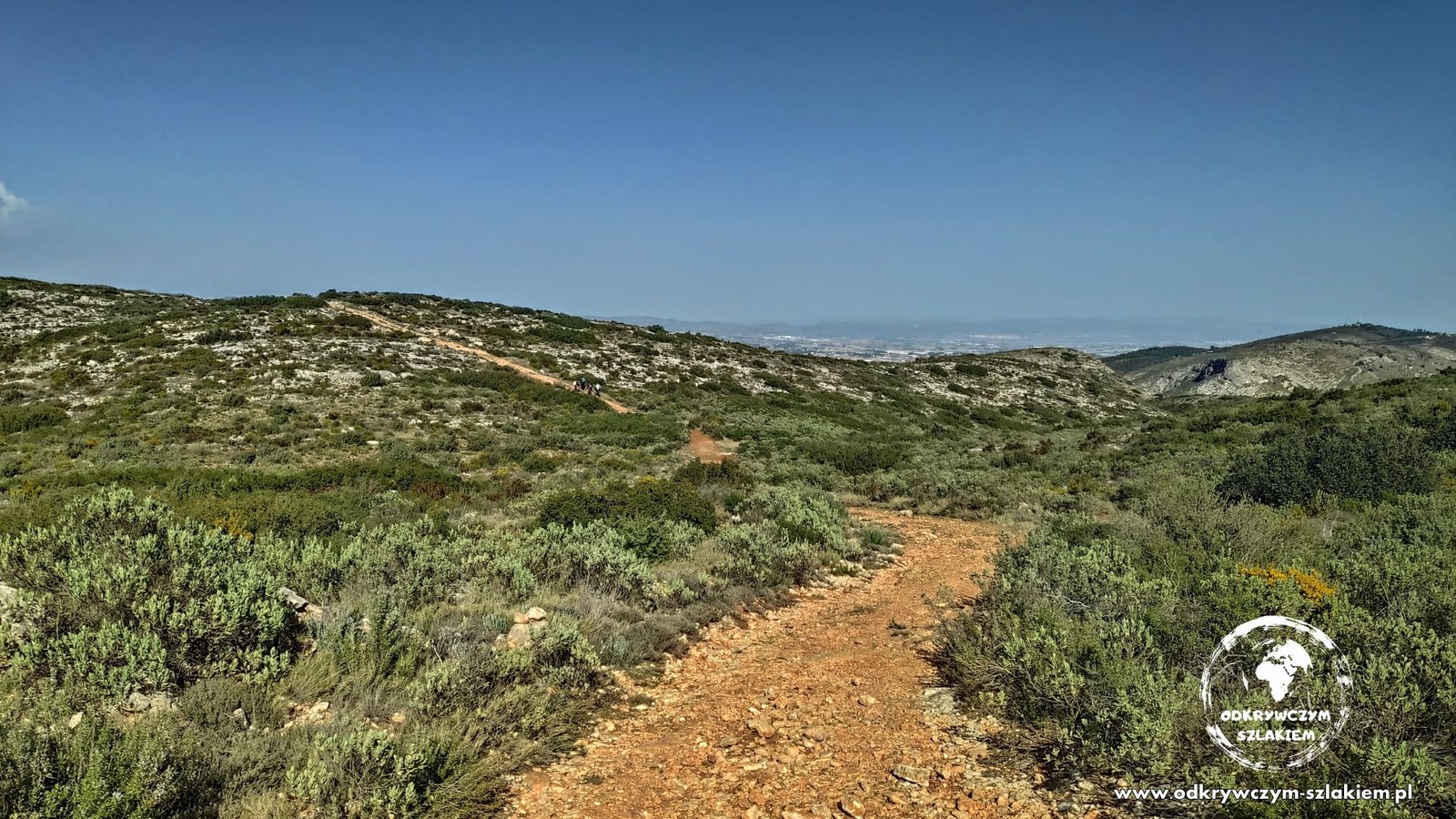
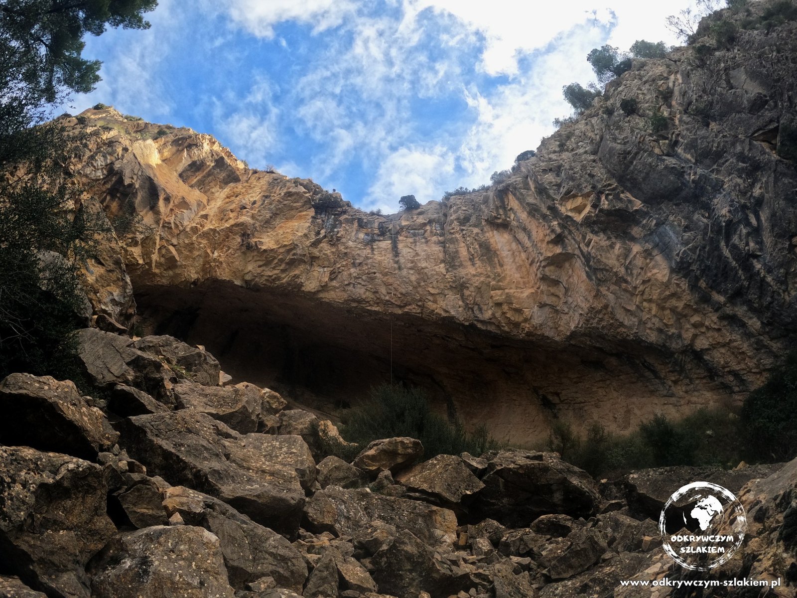
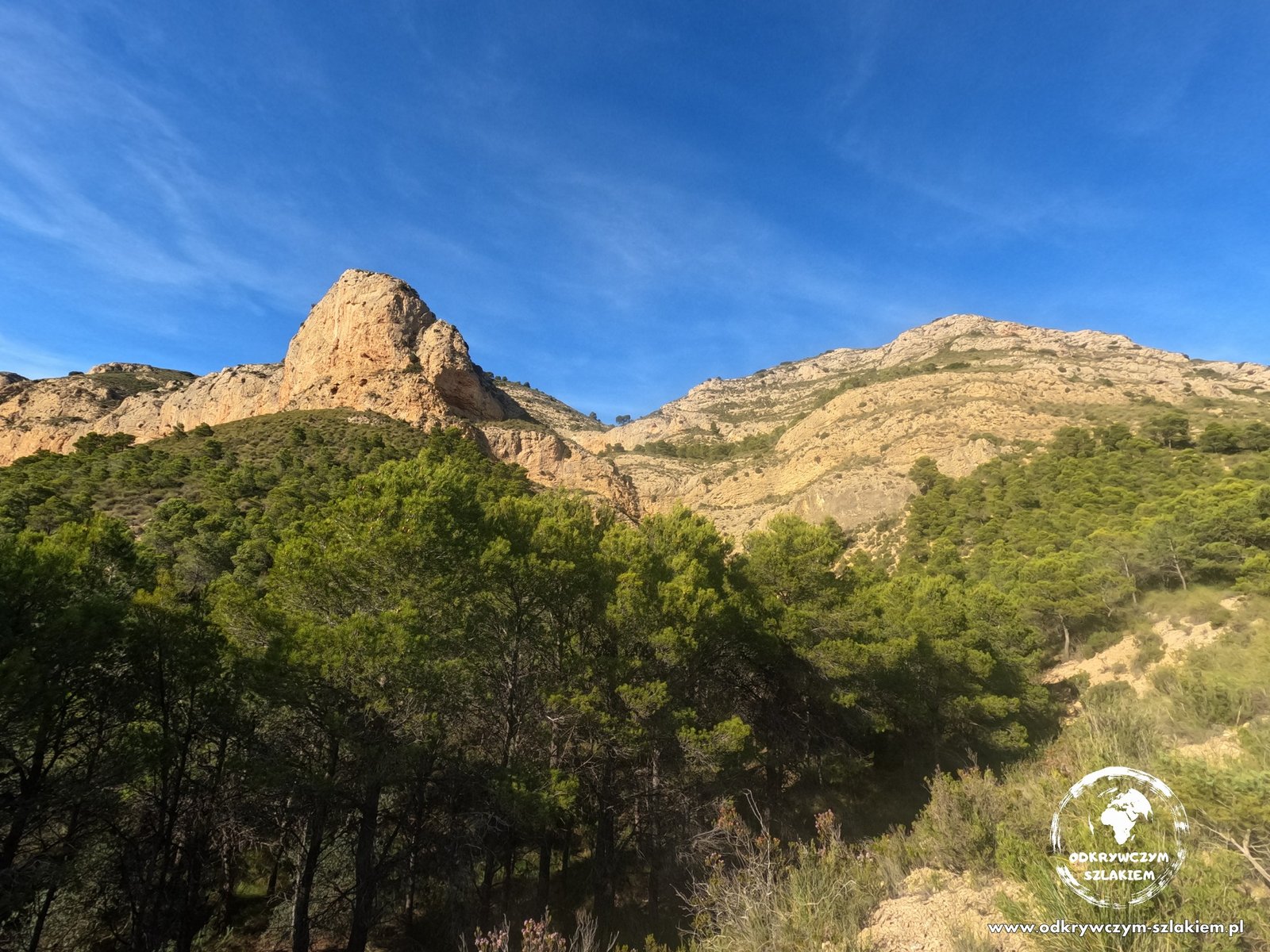
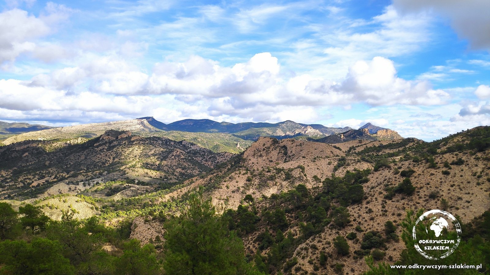
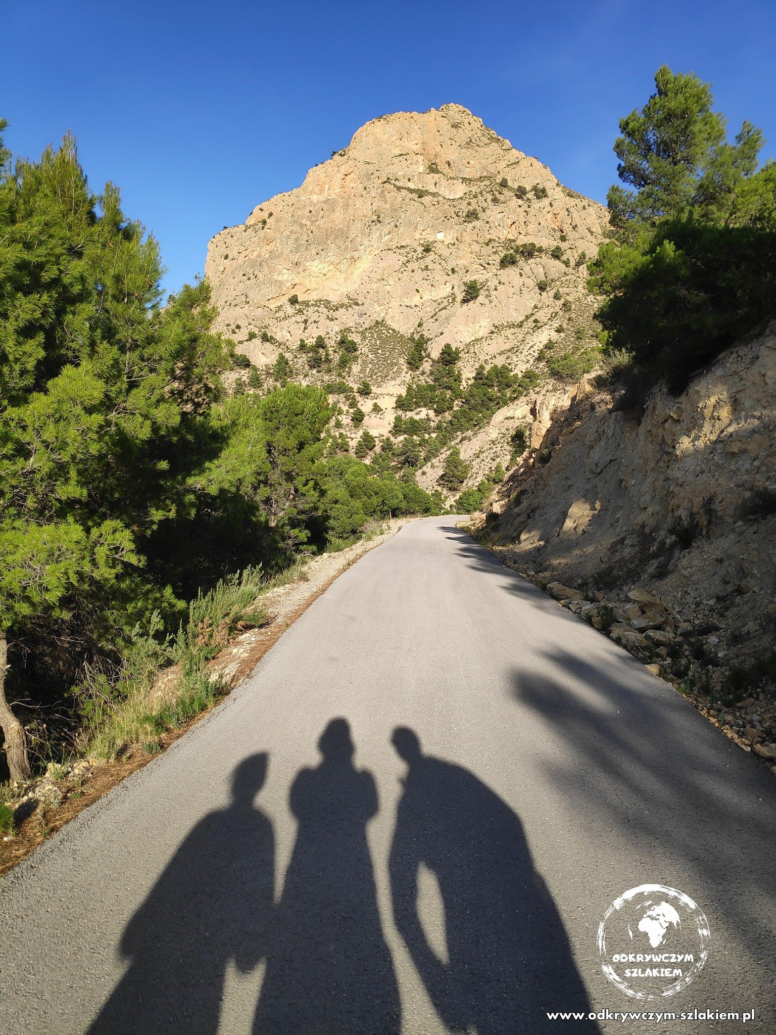
At the end of November I came back to the area, this time with Patrycja and Kuba. On Friday, 25 November, when my sister had a day off work, we drove to the Sierra del Cid mountains – about half an hour by car from Alicante, near the town of Petrer. We walked about 12 km with about 700 m of elevation gain – partly on the Senda del contador trail, past the Cueva Perico cave, with views of the Peña del Sol peak.
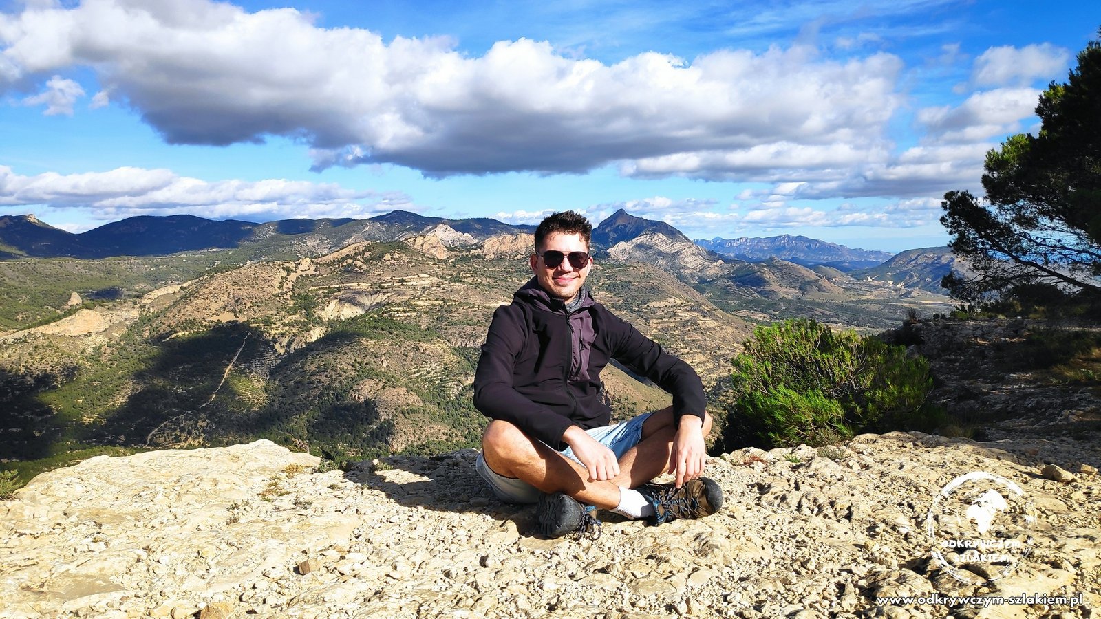
At one point the path became narrow, but at its end we could admire Alicante from a distance – more than 20 km as the crow flies. It was a bit windy in the mountains, and we walked in the shade for most of the way, so even on a sunny day you will want something warm.
After finishing the trail we still had time to visit Elche and its palm grove.
Practical information
- Barranc de les Salines: about 9 km, an easy trail; the first section is on a paved road.
- Senda del Barranc dels Tarongers (extended version): 13 km, highest point 711 m above sea level, about 600 m of ascent; start and finish at Pou Clar, with a break in Bocairent.
- Sierra del Cid: about 12 km and about 700 m of elevation gain; about half an hour by car from Alicante (near Petrer).
- Getting there: all three trails are easiest to reach by car.
- In winter: about 16–17 °C in the sun, but in the shade and in the wind it gets cold – it is worth bringing an extra layer.