Table of contents
Introduction

The Krutynia River trail runs through more than a dozen picturesque lakes. The whole trail is 116 km long (about 9 days). We got vouchers for kayak rental for 3 days. We managed to cover about 1/3 of the route. Below you can watch/read the account.
Day 1: 16 km (Sorkwity – Bieńki)
- Route: Lake Lampackie – Sobiepanka – Lake Kujno – the picturesque Grabówka stream – Lake Dłużec – PTTK in Bieńki
- Accommodation: PTTK campsite in Bieńki
- Cost: about €4 per person (there is a bar on site)
The account
Together with Karol, Łukasz and Patrycja, on 30 June 2019 we went to the PTTK Sorkwity station (PTTK is the Polish Tourist and Sightseeing Society), where we began our water adventure. We could go on the kayak trip for free because, taking part in the 9th edition of the Kormorany National Student Travel Festival in Olsztyn (in April 2019), we gave a talk about our trip to the United States and won the vouchers.


None of us had ever taken part in anything like this before, so we didn’t really know what to expect – either in terms of how difficult the route would be or of our own physical abilities – so we didn’t set ourselves any particular goal, following the principle of “whatever will be, will be”.
We redeemed the voucher, collected the kayaks and stowed our luggage. By the way, at first I had some doubts about how much the kayaks could carry, as we had quite a lot of gear. But everything fitted in without a problem.

We started on Lake Lampackie, from which we paddled through a small channel among the reeds onto Lake Lampasz. At first we missed it, because on the left side of the lake it is hard to see from a distance. Further on we stopped at a jetty, where, taking advantage of the wonderful weather, we had a swim, and then paddled to the shore on the other side.
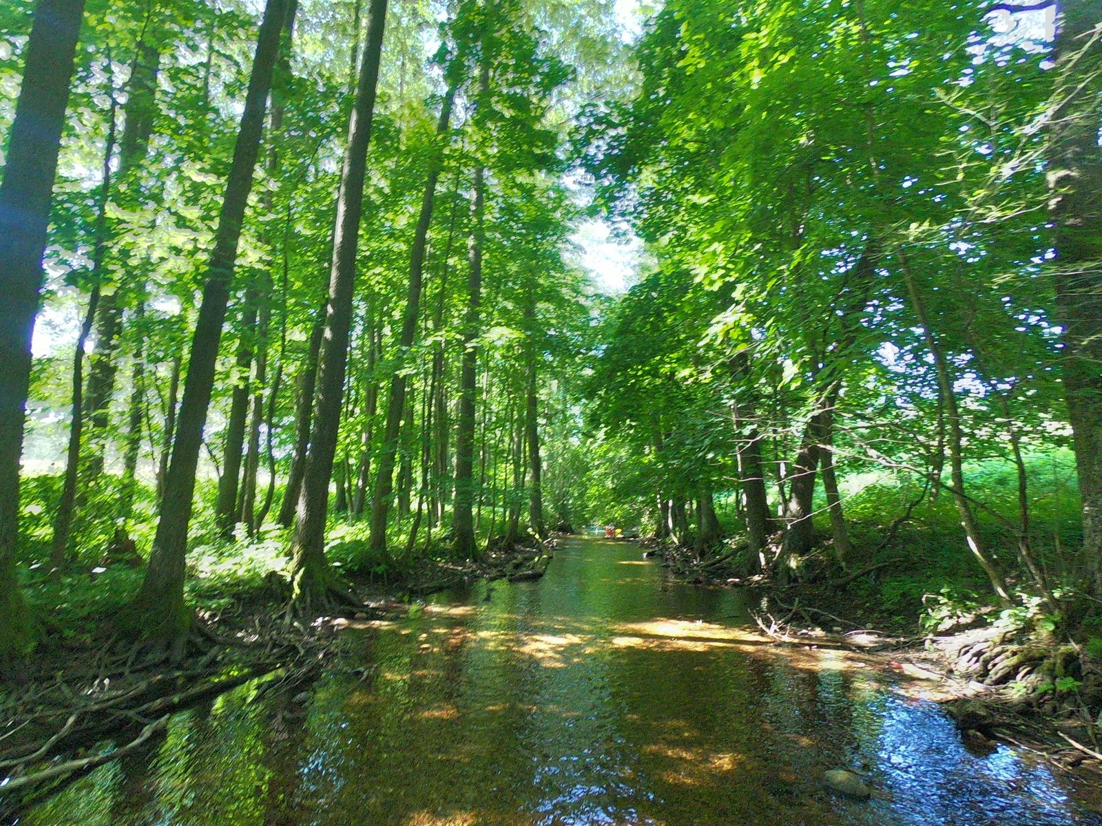
Next we came to the narrow Sobiepanka stream. It was so sluggish and shallow that several times we had to get out of the kayaks and walk them. It was the most interesting experience of the day.

The next stretches of water we crossed were Lake Kujno with its wooded shore, the picturesque Grabówka stream and Lake Dłużec, where we again stopped at a jetty and once more had trouble finding the water link onwards. In the end we reached the right shore of Lake Białe, where the PTTK water station in Bieńki is, so we covered about 16 kilometres in total. Originally we wanted to get as far as the next station, PTTK in Babięta (another 10 km), but we decided it was slowly getting late. On site we “parked” the kayaks, paid for the night, pitched our tents and recovered, waiting for the next day of adventures.
Day 2: 10 km (Bieńki – Babięta)
- Route: PTTK Bieńki – Lake Białe – Dąbrówka stream – Lake Gant – tributary of the Krutynia – PTTK Babięta
- Accommodation: PTTK campsite in Babięta
- Cost: about €4 per person (there is a bar on site and a small shop nearby).
The account
On the second day of our trip, just as we were about to set off again, a storm came. We had heard there might be rain, but we didn’t expect a downpour. We quickly packed up one tent, leaving our things in the other, waterproof one. Like most of the guests at the water station, we spent a few hours in the bar under cover, where we had a bit to eat and drink and played some games.

Setting off at about 3 pm, we were only able to reach the next water station, PTTK in Babięta (10 km). In good weather you can no doubt make it to the station after that.

At first it was cloudy, but over time it began to clear up and the sun came out, until finally it stopped raining. Leaving the station among the last, we overtook organised groups one after another. That day we had no trouble finding the right way. We passed waters such as Lake Białe, the Dąbrówka stream, Lake Gant and the largest tributary of the Krutynia – the little Babant river.

The evening at the station in Babięta was much like the previous one, with one small exception – we went to the shop and stayed up later, getting ready for the next day of our water adventure. We also noticed that the organised groups don’t carry their gear in the kayaks – it is taken by road, so they paddle without any load.
Day 3: 12 km (Babięta – Spychowo)
- Route: Babięta – Babięcka Struga – Spychowska Struga – PTTK Spychowo
The account
We began the last day of the trip with a hot meal at the PTTK Babięta station, and then set off. After paddling just a kilometre, we reached a power plant installed in a former watermill, where we had to carry our kayaks across the road to continue.

In the next part of the trail the current of the river (Babięcka Struga) picked up, and in places there were shallows and stones. As we paddled onto Lake Zyzdrój Wielki, the weather started to turn much worse – it clouded over, the wind picked up and it began to rain. Because of that we pulled up on the shore and waited out the worst of it.
Next we paddled onto Zyzdrój Mały, at the end of which, by the dyke with the “Lalka” sluice structure, another kayak portage awaited us, this time a bit harder. There we also had a swim in the lake. Unfortunately the rain caught us again that day, which slowed us down considerably. Luckily it happened before we went out onto open water, so we had somewhere to shelter.

We paddled the last two kilometres along the Spychowska Struga. A little tired after three days of paddling, but happy, we reached the PTTK Spychowo water station. We all enjoyed the trip and intend to do something like it again in the future. We will have fond memories of running onto logs and manoeuvring the kayaks on the narrow streams next to other people. That day we covered about 12 km, and about 38 km in total.